
Geology Field Trips To California's Central Coast |
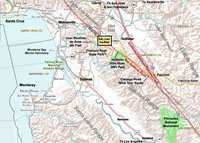
Map showing Central Coast Regional Geology Field Trip Destinations |
 |
The region south of San Francisco Bay has some of the most interesting geology that is accessible to the public. This website is a compilation of selected field trips for day trips or week-long geology adventures. The area has one of the most diverse collection of rock materials (igneous, metamorphic, and sedimentary), and landscape features associated with active fault systems, both in rural and urban landscapes. |
 Anderson County Park |
|
|
||||
| Southern Santa Clara County Parks | ||||
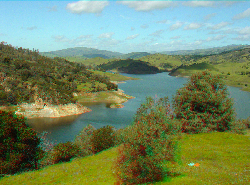
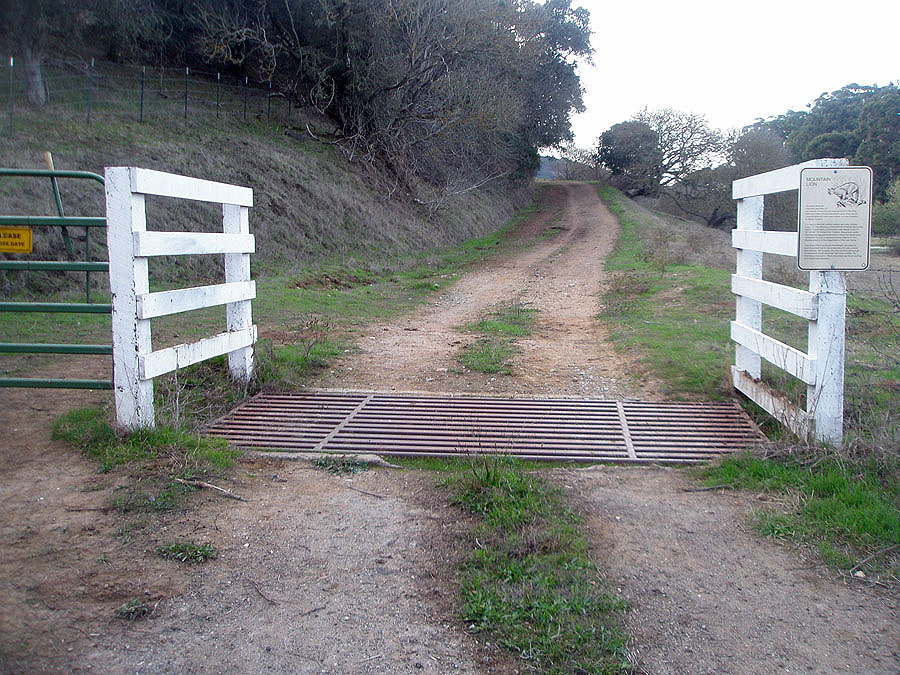
Chitactac-Adams County Historic Park, Uvas County Park, and Chesbro County Park Anderson County Park Coyote-Harvey Bear County Park - Three trip destinations include: The Calaveras Fault at Mendoza Entrance and walk along the Coyote Ridge Trail Geology of the Coyote Reservoir Dam Landslide at the Harvey Bear Ranch See the Santa Clara County Parks & Recreation Department website (http://parkhere.org) for more park information. |
||||
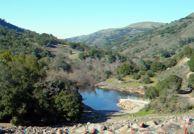 Coyote Dam and Coyote Creek Canyon 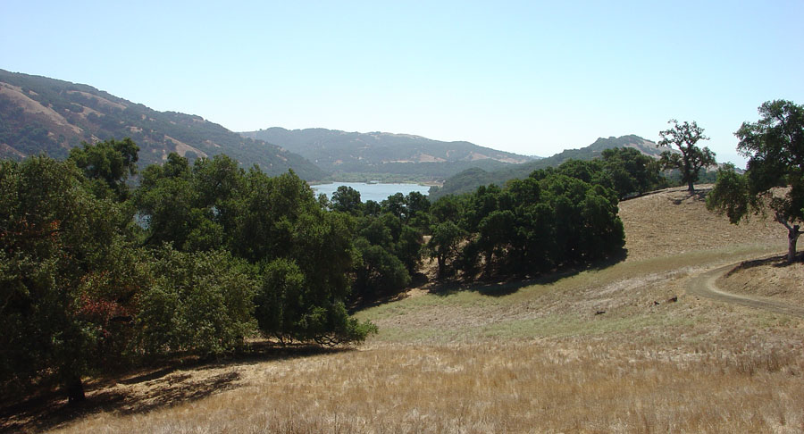 Coyote Ridge hike on Mummy Mountain |
||||
San Benito County Destinations |
||||
The San Andreas Fault in Northern San Benito County—Aromas to San Juan Bautista San Juan Bautista-Fault Walking Tour along the San Andreas Fault San Andreas Fault — San Juan Bautista to St. Francis Retreat Center Juan Bautista de Anza National Historic Trail (Old Stage Road) - Hiking Trail Hollister and the Calaveras Fault Fremont Peak State Park Cienega Road Loop Tour (San Andreas and Calaveras Faults in the Hollister Hills region) Pinnacles National Park |
 San Andreas Fault scarp in San Juan Bautista |
|||
 Old Stage Road (NPS hiking trail) |
||||
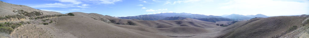 View of the dome-like core of the north end of the Gavilan Range as seen from the Salinas Road-San Juan Grade (near the boundary between San Benito and Monterey Counties. |
||||
| Also see these free online regional geology guidebook publications for the California Central Coast region: | ||||
| Where’s the San Andreas Fault?
A Guidebook to Tracing the Fault on Public Lands in the San Francisco Bay Region. This guide provides field trip descriptions for the San Andreas Fault from the San Juan Bautista region northward to Point Reyes National Seashore. Rocks and Geology of the San Francisco Bay Region: this guide provides basic information about rocks found in the landscapes in the Central Coast region from the Salinas Valley northward through the San Francisco Bay region. Field-Trip Guide to the Southeastern Foothills of the Santa Cruz Mountains In Santa Clara County, California: U.S. Geological Survey Open-File Report 02-121, 29 p., . This field guide describes rock of the Mesozoic-age Franciscan Formation (assemblage) that crops out throughout the Santa Cruz Mountains and the foothills around Santa Clara Valley south of San Jose, California. Where's the Hayward Fault? A Green Guide to the Fault This guidebook shows locations in public places where features in the East Bay urban corridor are visibly affected my movement along the Hayward Fault. Carrizo Plain National Monument, Wallace Creek-San Andreas Fault Interpretive Guide. |
 |
 |
 |
 |
 |
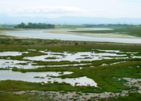
Elkhorn Slough - natural estuary between Monterey and Santa Cruz Counties |
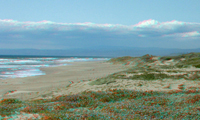
Sunset, Manresa, and Pajaro beaches along Monterey Bay |
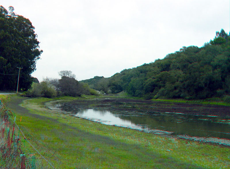
Sag pond along San Andreas Fault along Anzar Road |
Juan Bautista de Anza National Trail (NPS) hiking, biking, horseback riding |
3/15/2022