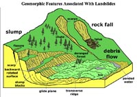
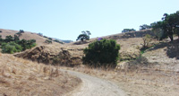
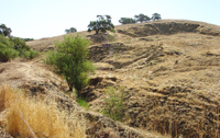
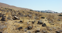
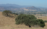
Field-Trip Overview: This field trip is to examine a massive slump/landslide area on the east side of Coyote Ridge. The slump has developed in poorly consolidated sediments (Piocene-Pleistocene Packwood Gravels) that form the bedrock along the mountain front. Perennial springs are associated with the slumping. Blocks of basalt are also exposed along the trail above the landslide.
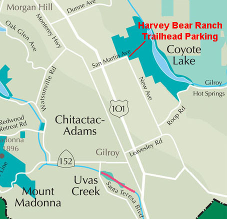
Directions: Take exit 362 on Highway 101 for San Martin Avenue.
Take San Martin Avenue east for 1.5 miles.
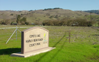
The entrance to Harvey Bear Ranch (County Park) is on the left. Park in the auto parking area. the Willow Creek Trail starts at the parking area.
Geologic Setting: The Packwood Gravels (Pliocene to early Pleistocene age) are poorly consolidated alluvial deposits (sand, mud, and gravel) deposited in an ancestral valley that existed in the area before the modern Santa Clara Valley. The Packwood Gravels have been uplifted and exposed in the shutter ridge (Coyote Ridge) along west side the Calaveras Fault zone. The Packwood Gravels have porous zones that yield springs year round along the hillslopes at the base of the ridge near Harvey Bear Ranch (historic ranch homesite). The springs contribute to the formation of slumps and landslides in the unconsolidated sediment. The perennial source of water is probably a combination of annual winter rainfall and water seeping through the shutter ridge from the Coyote Reservoir side of the ridge.
|

