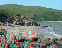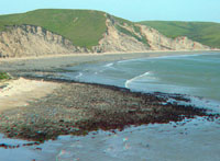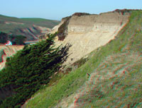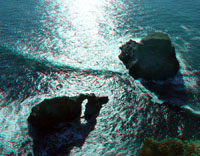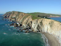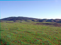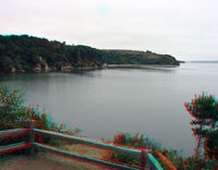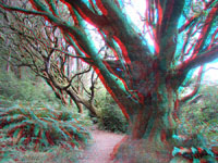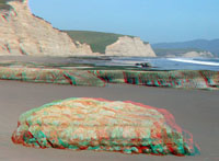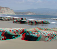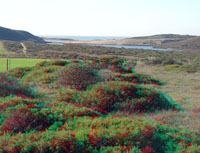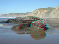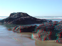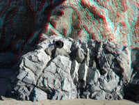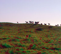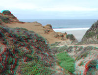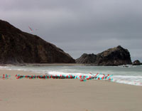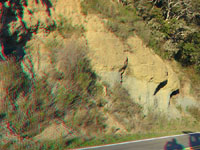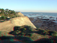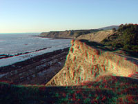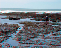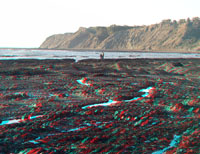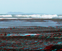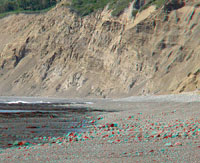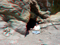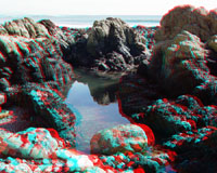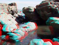
Geology of National Parks banner

Point Reyes National Seashore

A Tour featuring Park Geology

Start a 3D image tour by clicking here. See tour in standard photo images See images in a thumbnail image gallery Return to the Geology of National Parks main page

Click here to start a 3-D tour of the park. Click here to see a thumbnail gallery.

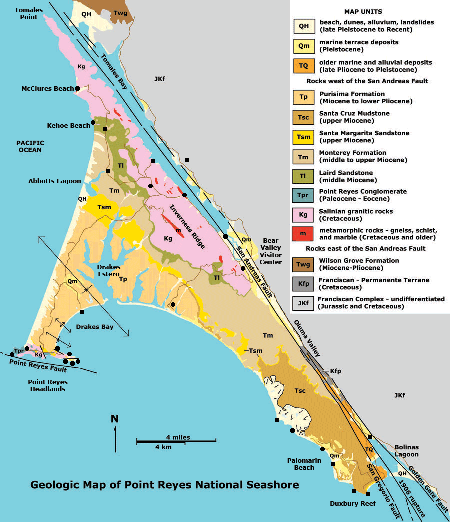
Locations on geology map


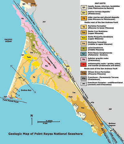
Access images of selected locations by black dots on the geologic map. Click here to see a larger view of a geologic map and a modified park brochure map.

Click on images for a larger view.
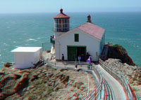
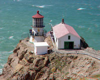
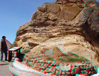
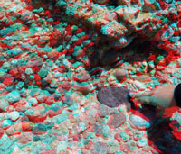
Point Reyes Lighthouse   Point Reyes Lighthouse   Point Reyes Conglomerate   Point Reyes Conglomerate   Point Reyes Conglomerate
Point Reyes Headlands   Point Reyes Headlands   Point Reyes Headlands   Gray whale skull   Point Reyes Headlands
Point Reyes Headlands   Point Reyes Conglomerate   Point Reyes Headlands   Whale skull at Point Reyes   wind-shaped trees
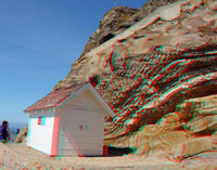
Point Reyes Beach   Point Reyes dunes   Historic Point Reyes Lifeboat Station   Drakes Bay   sea lions' gravel beach
Point Reyes beach strand   Point Reyes beach strand   Historic Point Reyes Lifeboat Station   Granite near Lifeboat Station   sea lions' gravel beach
Marine terrace deposits on Monterey Shale   Chimney Rock   Chimney Rock Overlook   Point Reyes Headlands   Point Reyes Headlands
Point Reyes Headlands   Point Reyes Headlands   Seemingly content cattle   Seemingly content cattle   Pasture on historic ranch
Point Reyes Headlands   Point Reyes Headlands   Seemingly content cattle   Seemingly content cattle   Mount Vision in distance
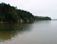
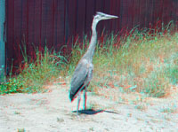
Tomales Bay State Park   Tomales Bay State Park   Tomales Bay State Park   Whale skull at Point Reyes   heron
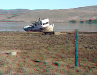
Tomales Bay State Park   Tomales Bay State Park   Tomales Bay State Park   Abandoned ship on Tomales Bay   Great blue heron
Blue schist knocker   Tomales Bay south end   San Andreas Fault   Offset fence   Limantour Beach and lagoon
Blue schist knockers   Tomales Bay south end   San Andreas Fault   Offset fence   Limantour Beach
Drakes Bay   Drakes Beach wave-cut bench   Drakes Estero from Mt. Vision   Abbotts Lagoon   Kehoe Beach trail
Drakes Beach wave-cut bench   Drakes Beach wave-cut bench   Drakes Estero   Abbotts Lagoon   Kehoe Beach trail view
Monterey Formation   Kehoe Beach   Kehoe Beach   Kehoe Beach   Kehoe Beach
Veins of alaskite   Debris chute   Kehoe Beach   Kehoe Beach outcrops   Tonalite outcrop
Veins of alaskite   Debris chute   Kehoe Beach   Kehoe beach outcrops   Tonalite outcrop
Tule elk   McClures Beach   McClures Beach   Olema Formation and Franciscan rocks   sea cliff
Tule elk   McClures Beach   McClures Beach   Olema Formation and Franciscan rocks   Duxbury Reef
sea cliff and wave cut bench   Palomarin Beach   Palomarin Beach   Palomarin Beach   Palomarin Beach
Agate Beach   Slump at Palomarin Beach   Slump at Palomarin Beach   Palomarin Headlands   Tide pools at Palomarin Beach
Point Reyes Conglomerate   Palomarin Beach   Palomarin Beach   Sea cliffs   Sea cliff
Palomarin Beach wave-cut bench   Tide pools with Point Reyes   Gravel beach and sea cliff   Sea cliffs with talus slope   Santa Margarita Sandstone
Falls on sea cliff   Sea cliffs  with waterfall   sea cave   Geologic map of Point Reyes
Sea cliff with water fall   Sea cliff with water fall   Sea cave with concretion  
Tide pool   Tide pools   Gravel on back beach  
Tide pools   Tide pools   Cobbles on back beach  
Click on geology map of Point Reyes Peninsula for a larger view.  

Click here to see more geology tours of National Parks.

Click here for a geologic map that also shows more detail of the location of the park.

Check out the National Park Service's Point Reyes National Seashore site - http://www.nps.gov/pore/.

National Park Service, Geologic Resources Division, 2008, Geologic Resource Evaluation Scoping Summary Point Reyes National Seashore, California, 10 p. http://www.nature.nps.gov/geology/inventory/publications/s_summaries/PORE_GRE_scoping_summary_2008-0805.pdf

Selected References used for this website.

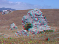
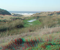
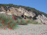
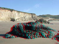
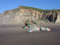
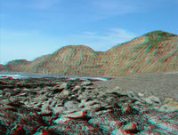
This website is an image tour of Point Reyes National Seashore. All images were taken in March, 2003. The 3D images are anaglyphs and require red and cyan 3-D viewing glasses. The image below is a pair of 3-D (anaglyph) viewing glasses.A search on the World Wide Web will yield many sites about anaglyphs and where to get 3-D glasses.


This page is <https://gotbooks.miracosta.edu/gonp/pore/>
Last modified Tue 12/16/2009


Duxbury Reef Palimarin Beach Pacific Coast Limantour lagoon and beach Drakes Beach Olema Formation Bear Valley Visitor Center Chimney Rock Point Reyes Historic Lifeboat Station Point Reyes Headlands Tomales Bay State Park Ranch lands East shore - Tomales Bay