
Click here to start a 3-D
tour of the park. You will need 3-D glasses to view this series of anaglyphic
images.
Click on any of the images to continue to the next page in the linked series of web pages.
|
|
|
Map of Canyonlands National Park. Click on the "Next Image" (below) to continue on the image tour, or click on any of the small red dots on the map above to go directly to selected images. |
 |
 |
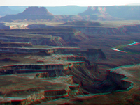 |
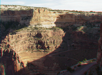
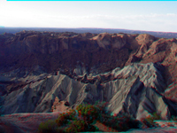
| The Schaffer Trail | Upheaval Dome | White Rim and Green River |
 |
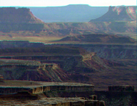 |
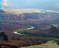 |
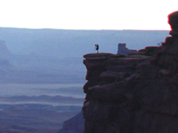
| Green River Overlook area | White Rim | Green River - Stillwater Canyon |
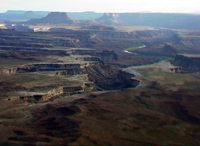 |
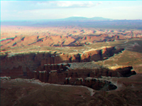 |
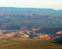 |
| White Rim - Green River | White Rim near Colorado River | Needles in distance |
 |
 |
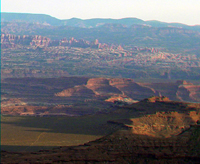 |
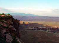
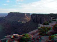
| La Sal Mountains | Grandview Point | Needls near The Confluence |
 |
 |
 |
| The Needles | Colorado River canyons | The Abajo Mountains |
 |
 |
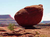 |
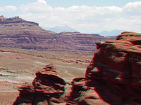
| Colorado River | Near Potash | Balanced Rock |
 |
 |
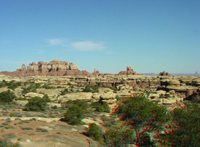 |
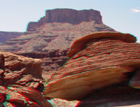
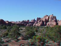
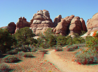
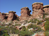
| Dead Horse Point | The Needles | The Needles |
 |
 |
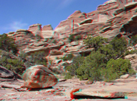 |
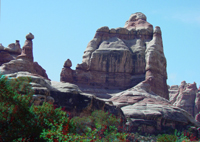
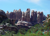
| The Needles | Elephant Canyon | Elephant Canyon |
 |
 |
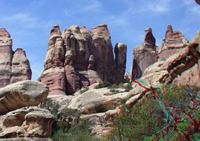 |
| The Needles | The Needles | The Needles |
 |
 |
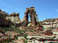 |
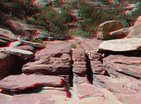
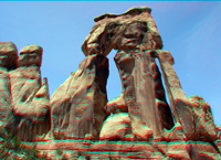
| Joints in creek bed | Druid Arch | Druid Arch |
 |
 |
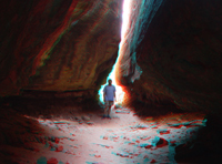 |
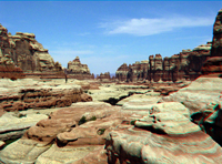
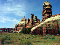
| Near Druid Arch | The Needles | The Joint Trail |
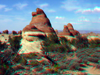 |
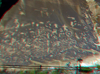 |
Click here to see historic images of the Green River Canyons taken during the John Wesley Powell Survey of 1871 of the Green and Colorado River Canyons. |
| The Needles | Newspaper Rock State Park |
| Click here to see more geology tours of National Parks. |
|
Check out the National Park Service's Canyonlands National Park site - http://www.nps.gov/cany/. Click here to see Powell Survey (1871) stereo photographs taken in the park area. |
 |
A search on the World Wide Web will yield many sites about anaglyphs and where to get 3-D glasses. |
| This page is <https://gotbooks.miracosta.edu/gonp/cany/> Last modified Mon 6/30/2010 |