|
Mule Hill Trail (Coast To Crest Trail) |
|
San Pasqual Valley near Rancho Bernardo and Escondido, California |
|
A1
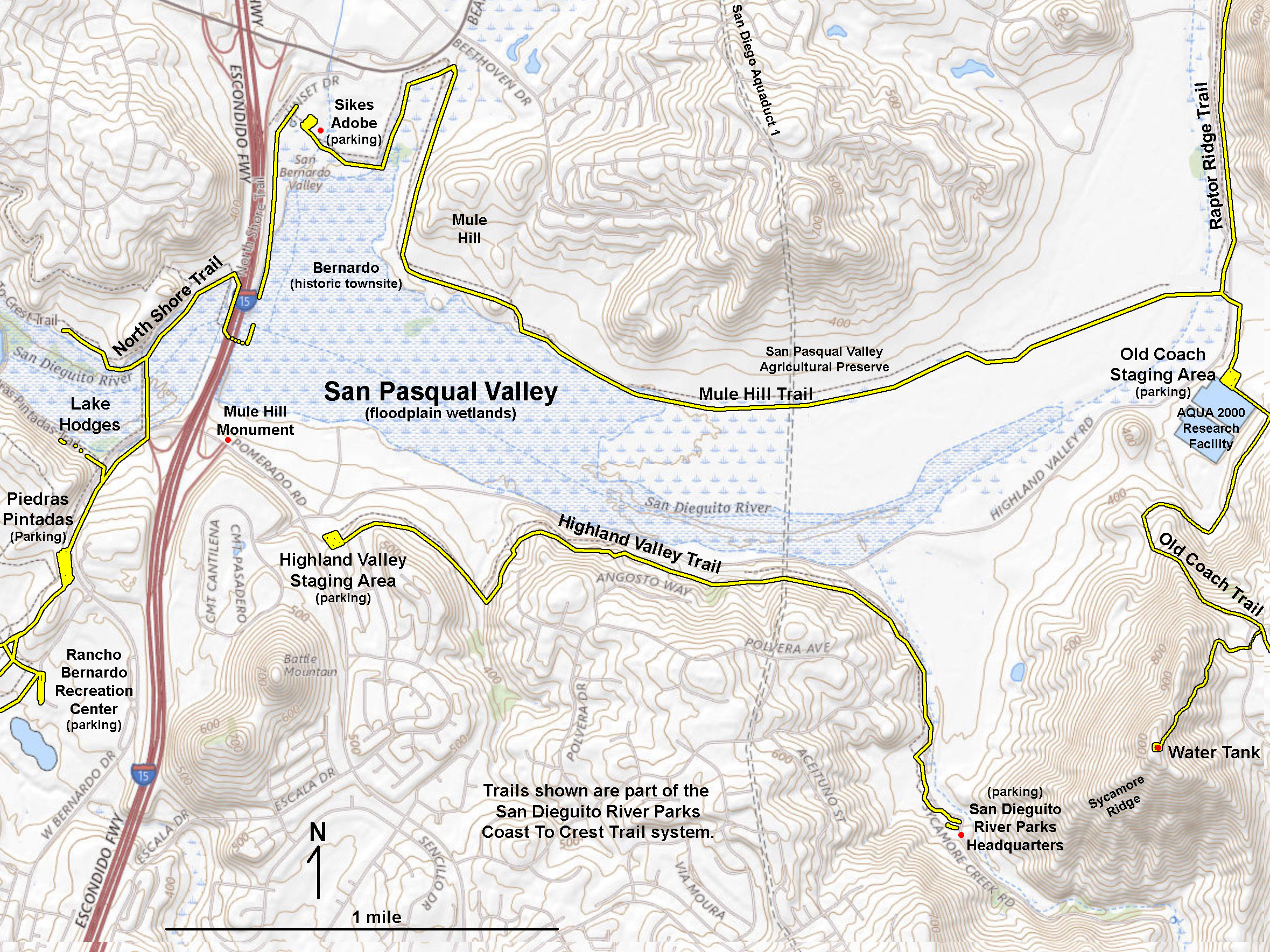
The Mule Hill Trail is mostly a flat hike that extends about 2 miles along the north side of San Pasqual Valley (Figures 1 and 2). The trail starts at the Sikes Adobe (Figure 3). There is ample parking on the Sunset Drive Staging Area and at the Sikes Adobe parking area. This Mule Hill Trail is a continuation of the Coast To Crest Trail that connects Lake Hodges area trails (to the west) and to the Raptor Ridge and Old Coach Trails to the east.
Much of the San Pasqual Valley was scorched during the 2007 Witch Creek Fire. The Sikes Adobe was restored in 2004, only to burn in the 2007 wildfire. It was restored again in 2011 (Figure 3). The Witch Creek Fire was among the worst wildfires in San Diego's modern history. Efforts are still underway to restore wildlife habitats along the hillsides and valleys wetlands (Figure 4 and 5).
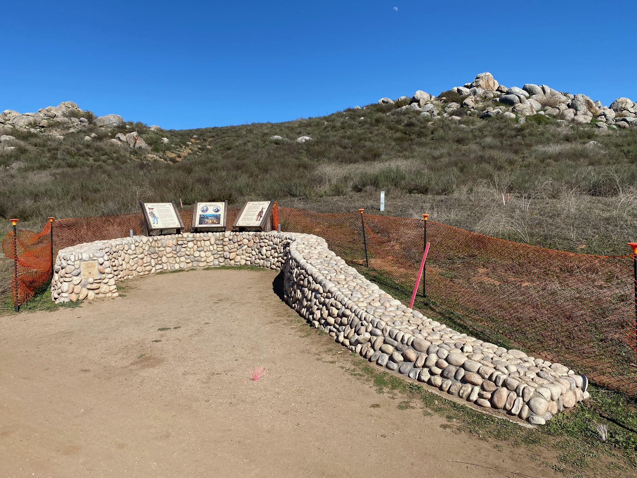
The Mule Hill trail borders wetlands for Kit Carson Creek and goes along Bear Valley Road briefly before leading south through the Mule Hill part of the San Pasqual Battlefield State Historical Park (Figures 6 to 8). Figure 8 is a park display that describes the history of the battle. In 1846, a relatively small but significant battle took place between General Kearny's "Army of the West" and the Californians troops. Kearney's forces consisted of about 100 troops and "volunteers." The battle did not go well for either side, and both sides declared victory after it was over. Mule Hill got its name because the Kearney's surviving starving soldiers hiding in the shelter of large boulders ate some of the mules after the battle and before they were able to retreat. Several links about the historical battle are listed below in Selected Resources. |
Click on images for a larger view. |

Fig. 1. Map of trails in the end of San Pasqual Valley showing the location of the Mule Hill Trail with links to other trails that are part of the Coast To Crest Trail system in the San Dieguito River Parks. |
A2
Bernardo Town site
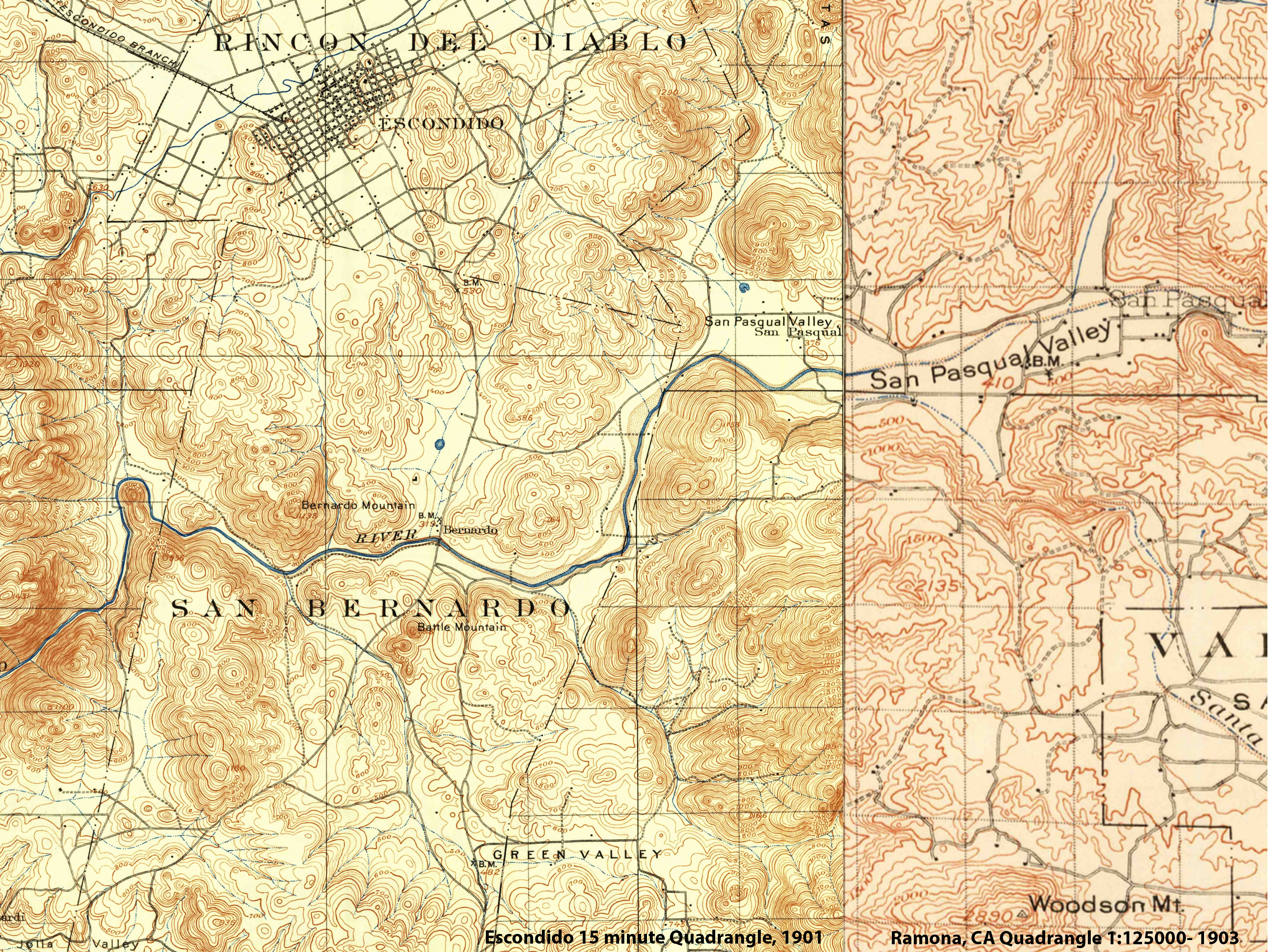
Another park display commemorates the small crossroads town of Bernardo used to exist near the historic river crossing bridge through the wetlands and over the San Dieguito River (Figures 9 and10). The small settlement was removed before the completion and filling of Lake Hodges Reservoir. The Bernardo town site is visible on the USGS topographic map for Escondido from 1901 (Figure 2).
From the Bernardo town site, the Mule Hill Trail proceeds east along the broad floodplain the north side of the valley. Along the way the trail passes a couple low granite boulder-covered hills that were probably used as defensive positions in the aftermath of the San Pasqual battle of 1846 (Figures 10 to 14). |
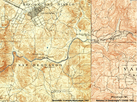
Fig. 2. Historic USGS maps from 1901 and 1903. |
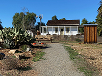
Fig. 3. Sikes Adobe historic farmstead. |

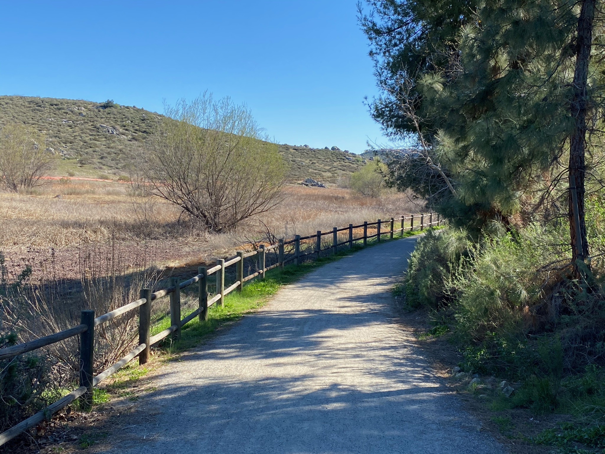
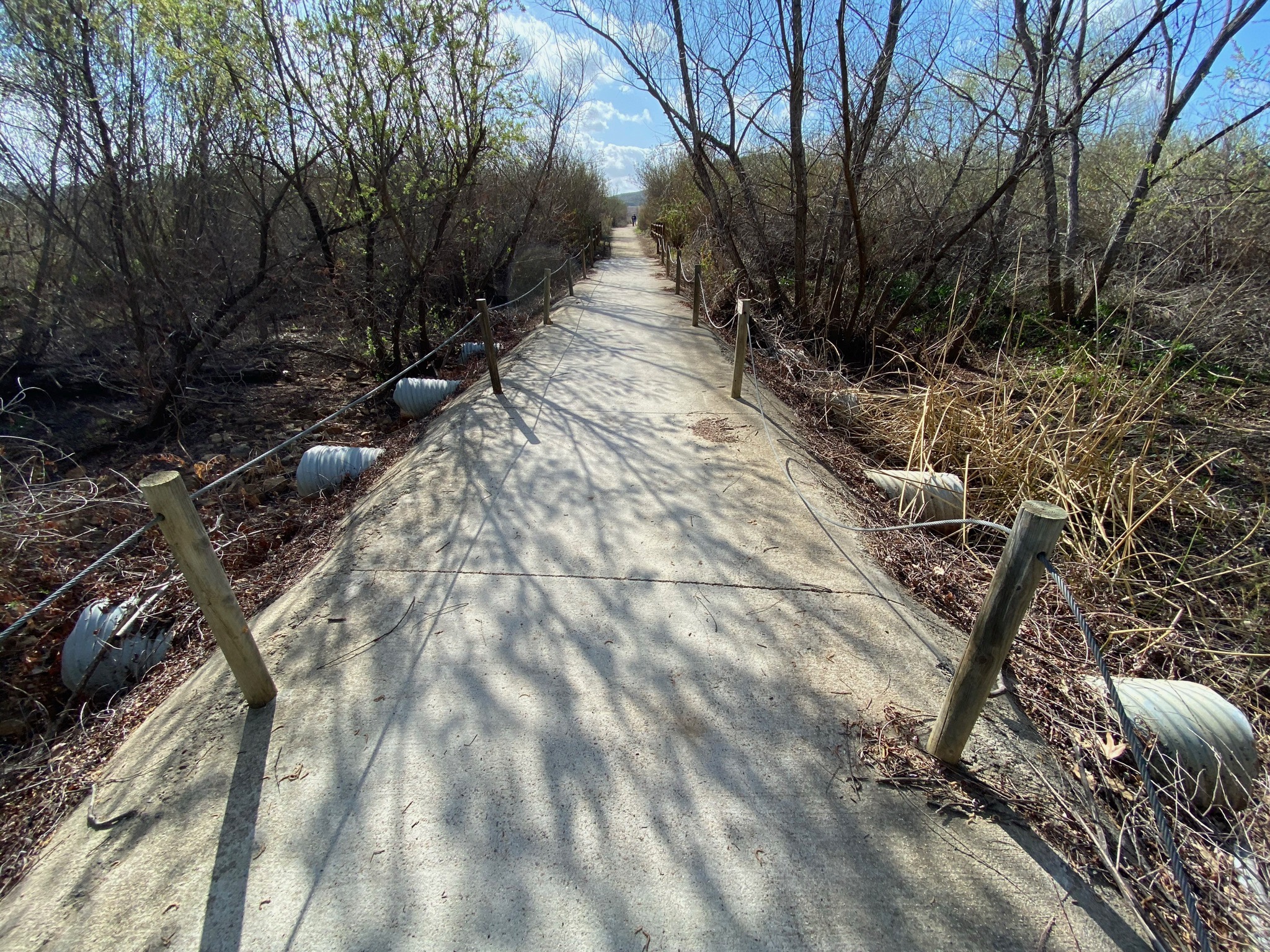
Fig. 4. Mule Hill path along Kit Carson Creek wetlands. |
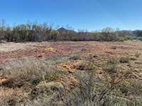
Fig. 5. Wetlands/riparian area along Kit Carson Creek. |
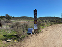
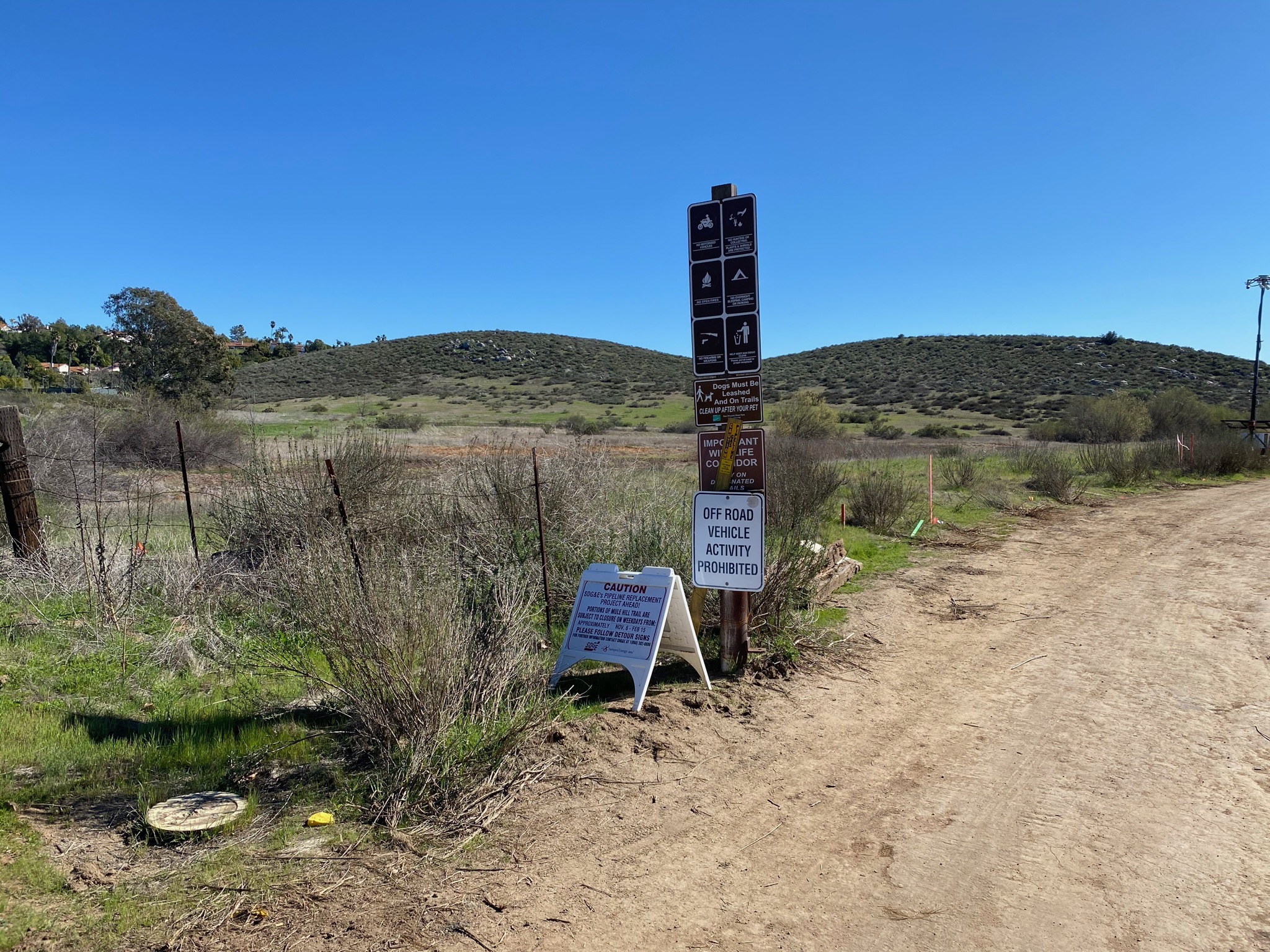
Fig. 6. Mule Hill trailhead on Bear Creek Road. |

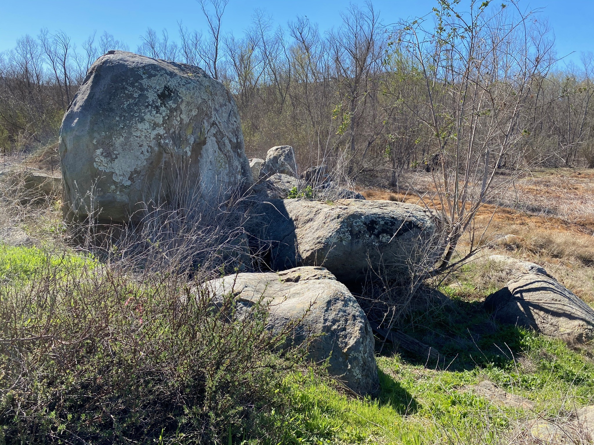
Fig. 7. Granite boulders along the Mule Hill Trail. |
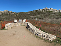
Fig. 8. Interpretive displays for the battle area at Mule Hill. |
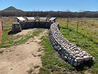
Fig. 9. Displays for the history of the Bernardo town site. |

Fig. 10. View looking east along the Mule Hill Trail. |
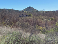
Fig. 11. Battle Mountain and wetlands south of the trail. |
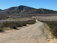
Fig. 12.View west along trail toward Bernardo Mountain. |
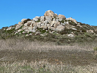
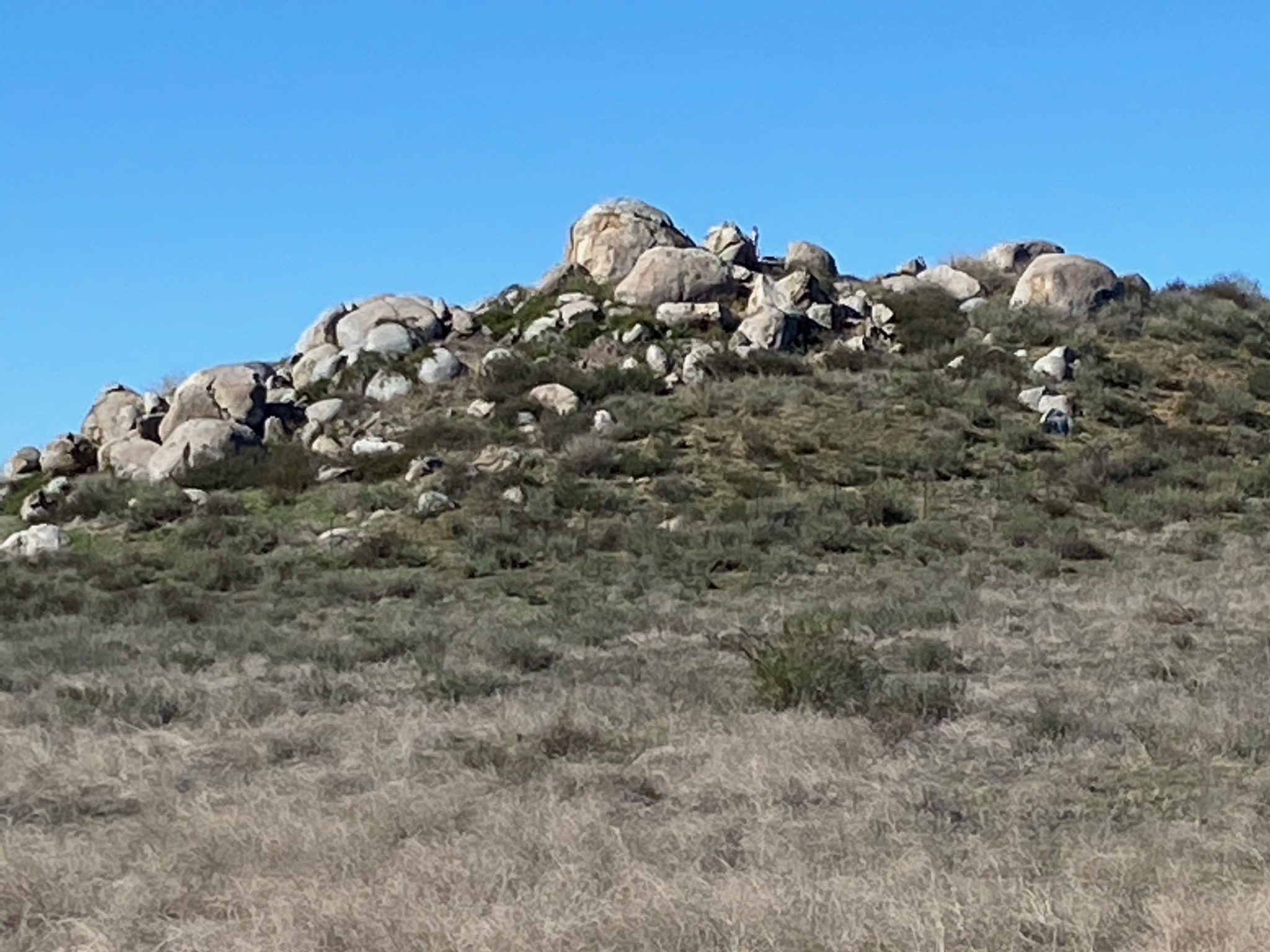
Fig. 13. Mule Hill, a pile of granite boulders and outcrops. |
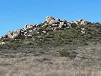
Fig. 14. Another low hill with granite boulders and outcrops. |
|
A3
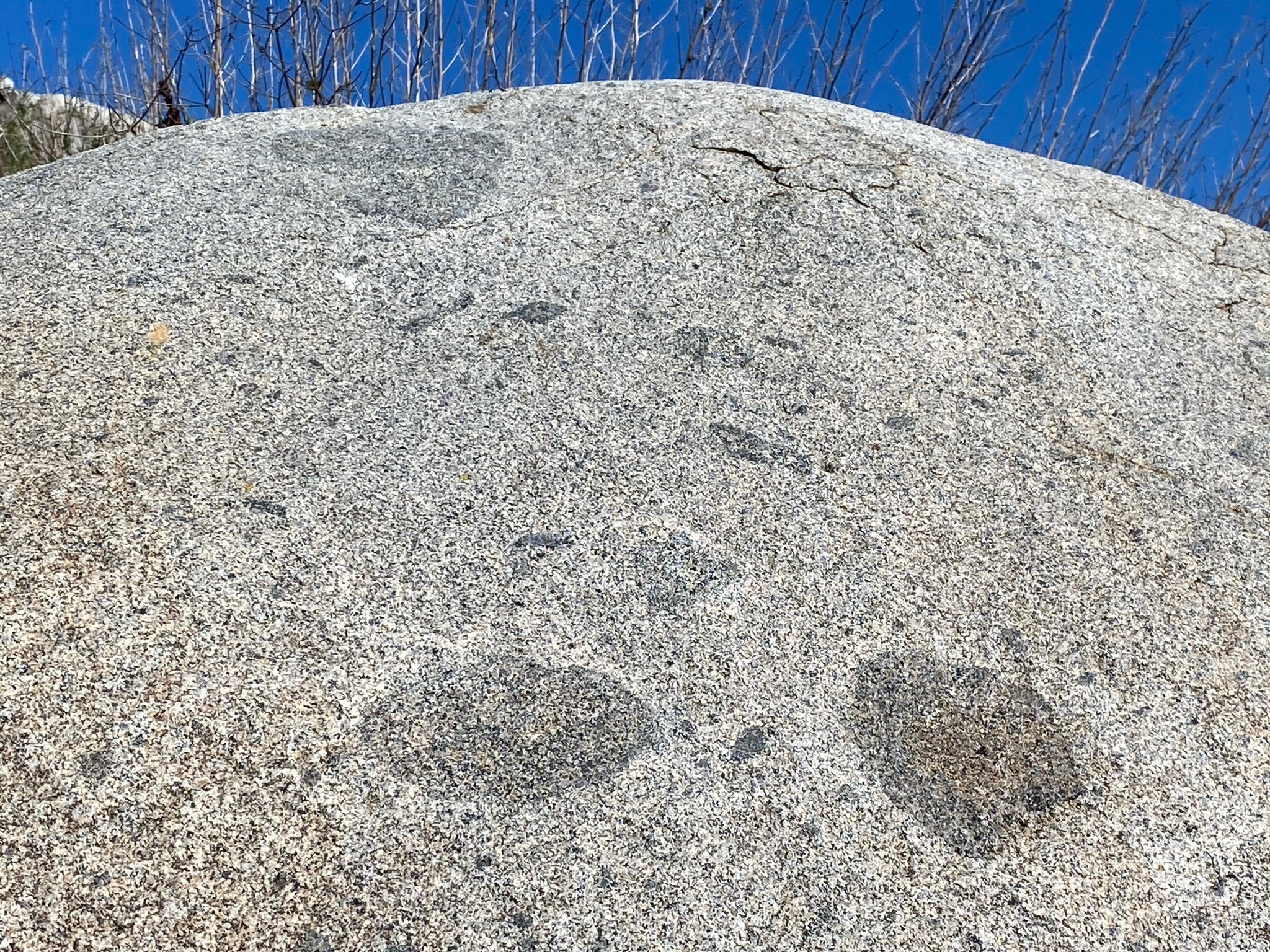
Figures 15 and 16 show closer views of the granite boulders. The lighter colored rock is a type of granitic rock called tonalite. The darker inclusions are chunks of older rock (called gabbro) that were incorporated into the magma body before it crystallized. The granite formed as part of massive igneous intrusions (plutons) that formed throughout the Peninsular Ranges during Cretaceous time.
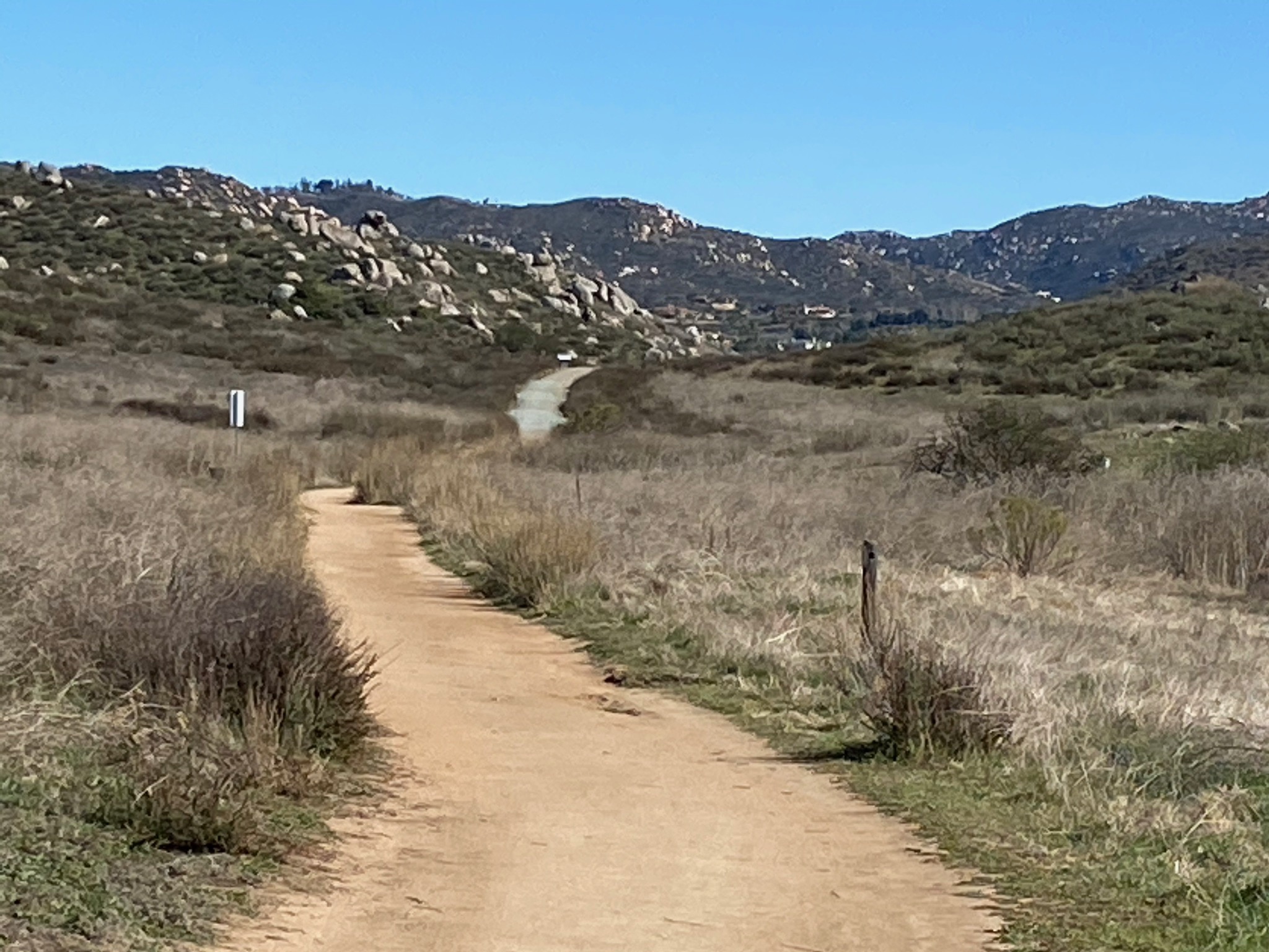
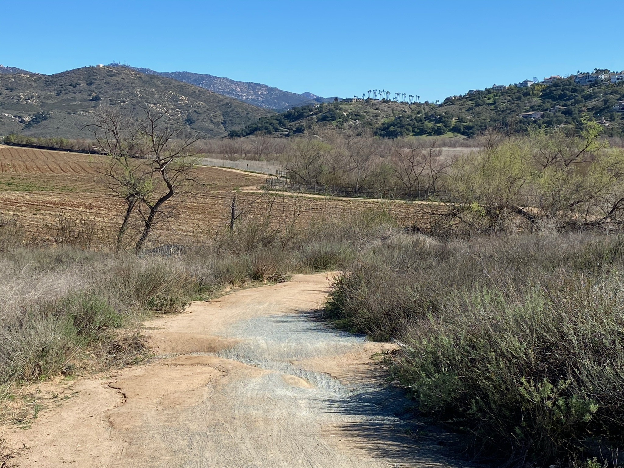
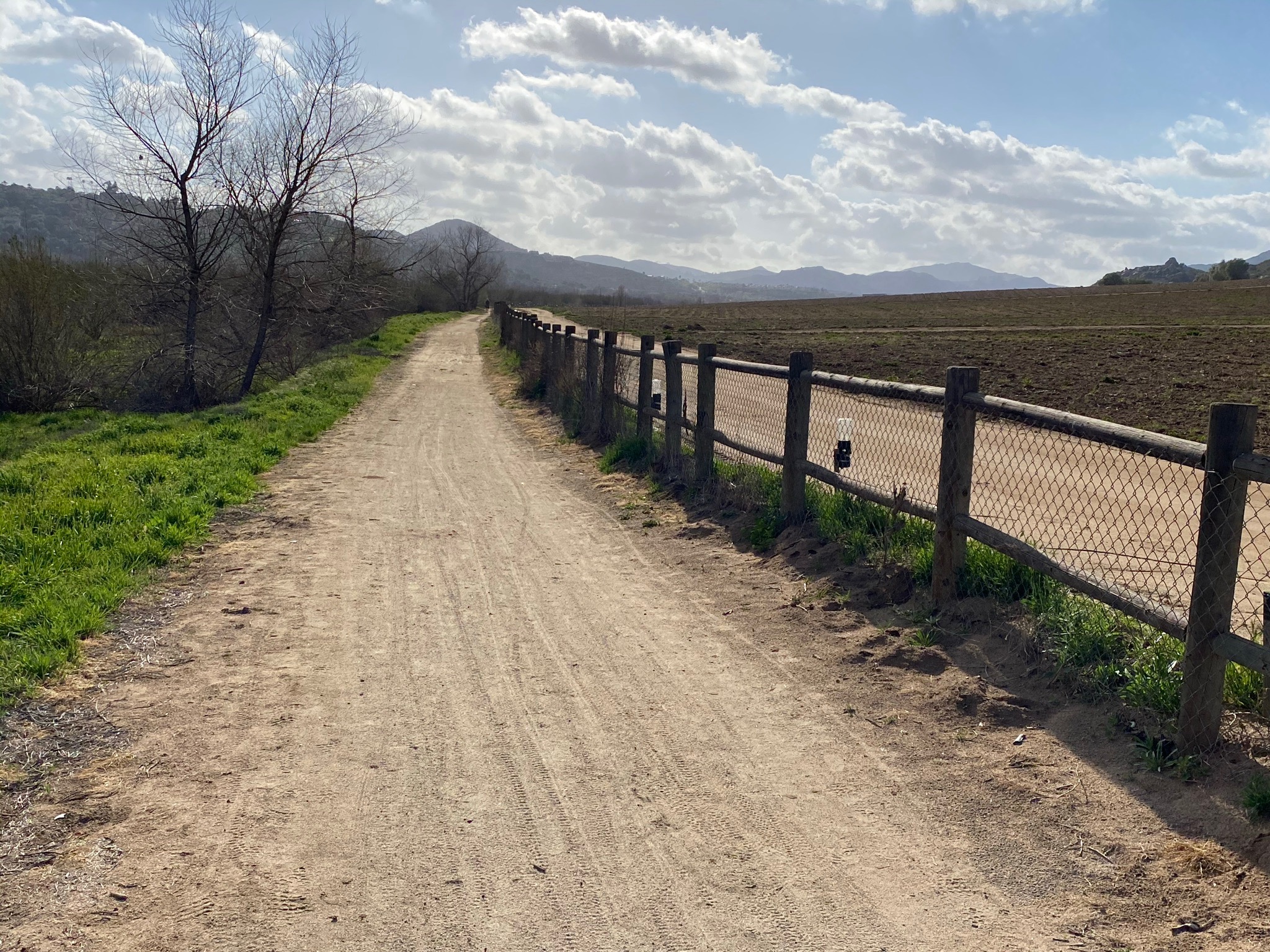
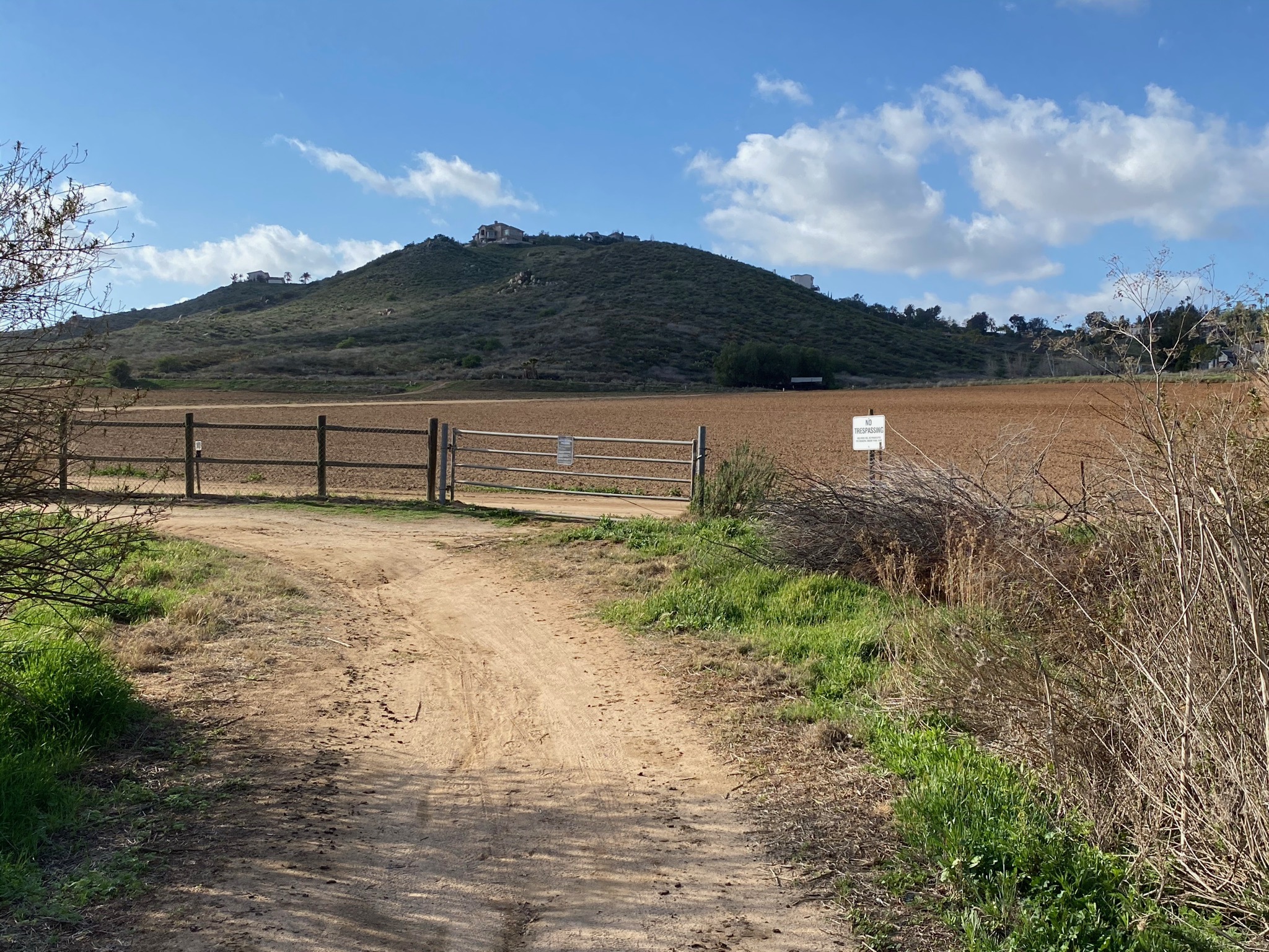
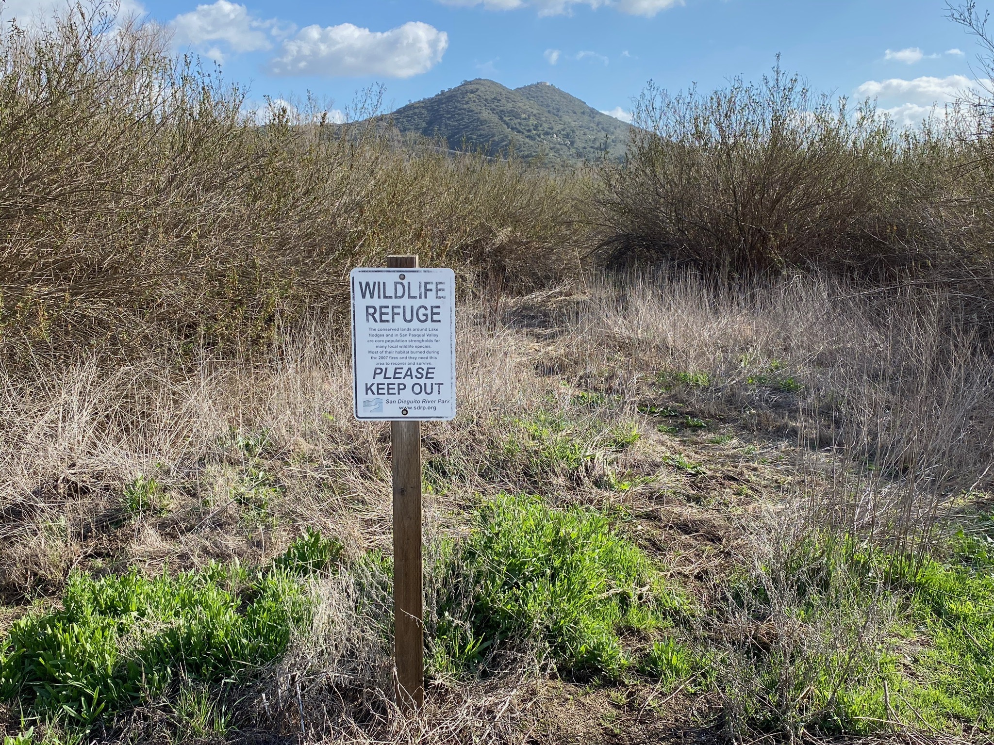
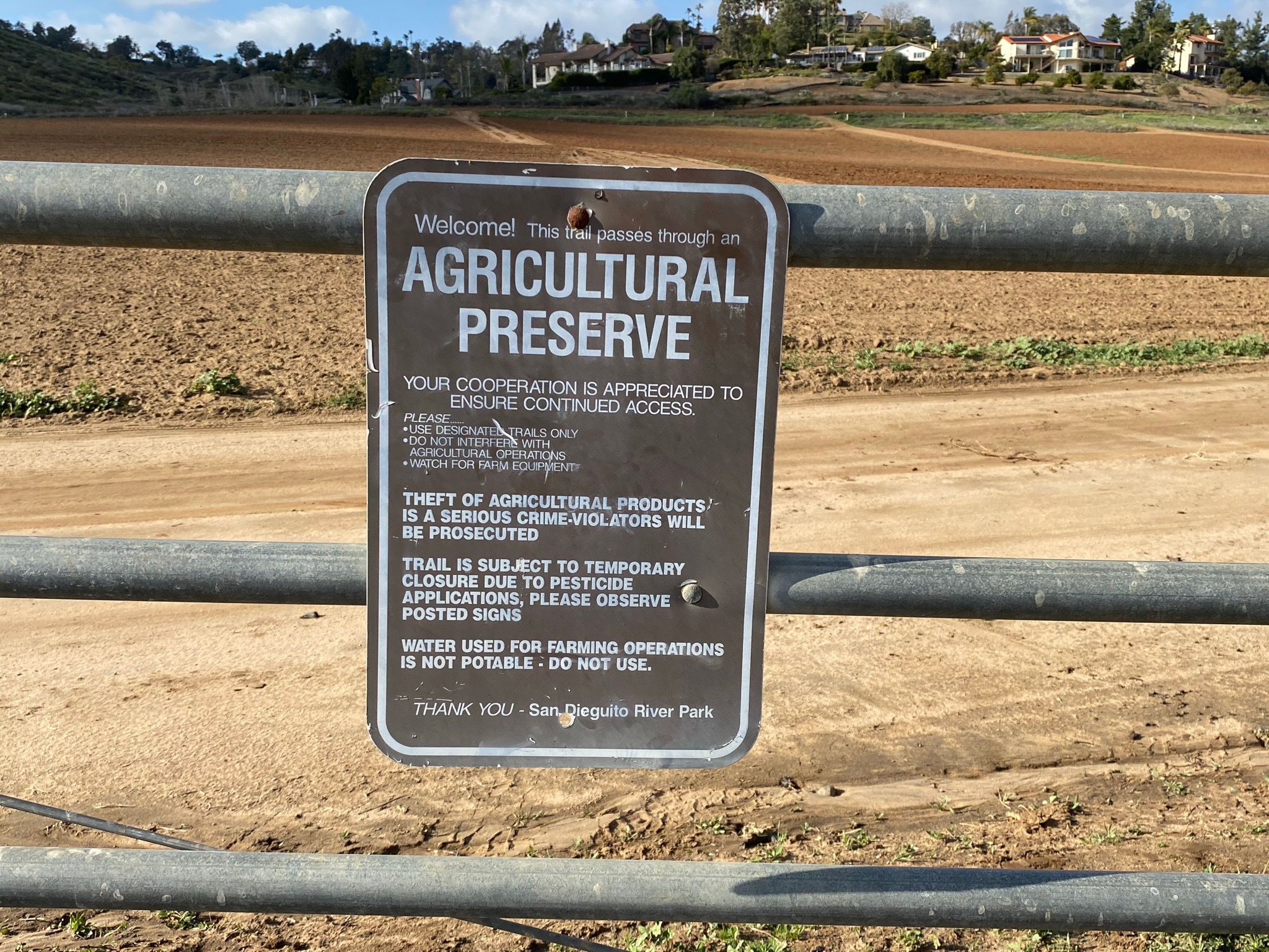
East of a low divide between two low hills, the trail defines the border between restores wetlands and grasslands on the flood plain and agricultural fields on the alluvial slopes along the north side of the valley (Figures 17 to 19). Signs indicate this area is the SDRP Agricultural Preserve maintained in collaboration with the San Dieguito River Park. The signs indicate that the trail may be closed when pesticides are being applied to the fields. The trail turns south and crosses the broad floodplain, now designated as a wildlife refuge. The area completely burned during the 2007 Witch Creek Fire. The work of several regional and national conservation groups have done an incredible job trying to restore riparian, grasslands, and coastal sage scrub plant communities to the areas managed by the San Dieguito River Park (Figures 20 to 25).
|
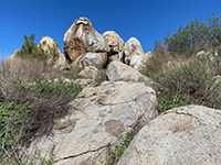
Fig. 15. Granite boulder outcrop along the trail. |

Fig. 16. Gabbro inclusions in tonalite (a granitic rocks). |
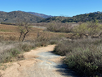
Fig. 17. The trail borders the SPV Agricultural Preserve. |

Fig. 18. Wetlands to south, agricultural field to north. |
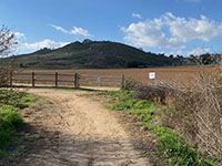
Fig. 19. Agricultural fields on the south side of the valley. |
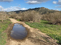
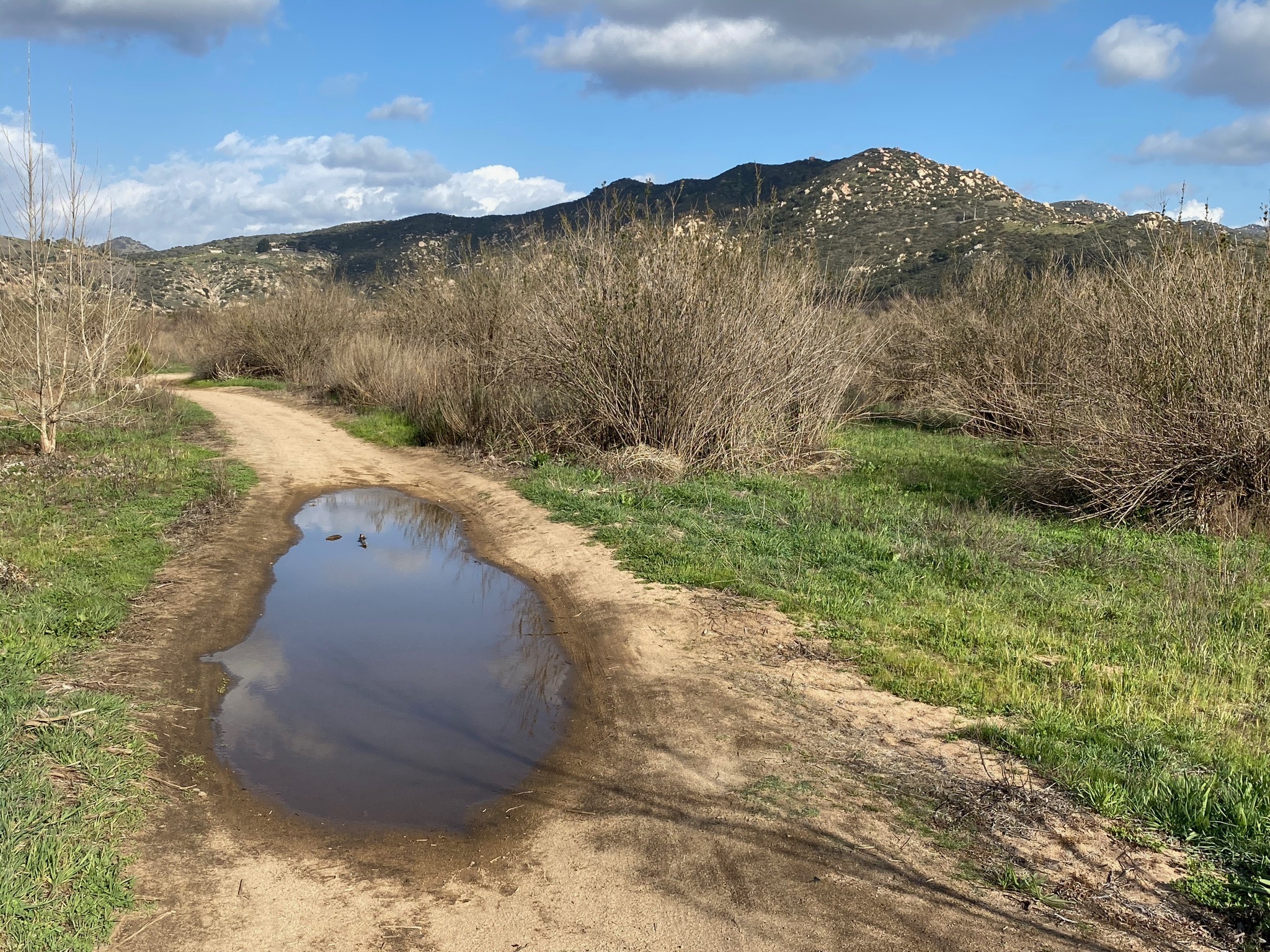
Fig. 20. Puddle along the Mule Hill Trail in wetlands area. |
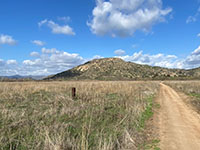
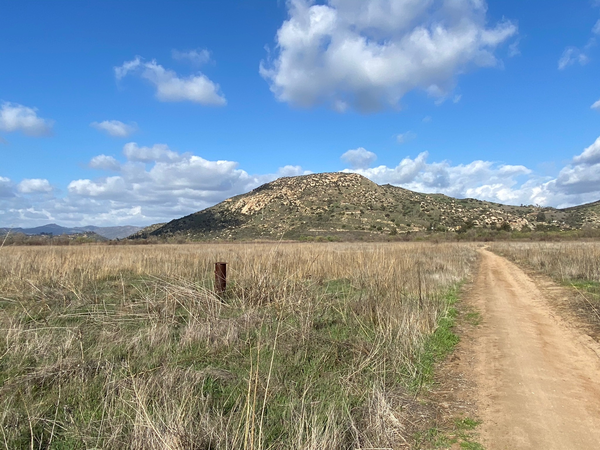
Fig. 21. View southeast along trail to distant Raptor Ridge. |
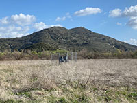
Fig. 22. Sycamore Ridge with water well in foreground. |
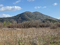
Fig. 23. Sycamore Ridge with wetlands in the foreground. |

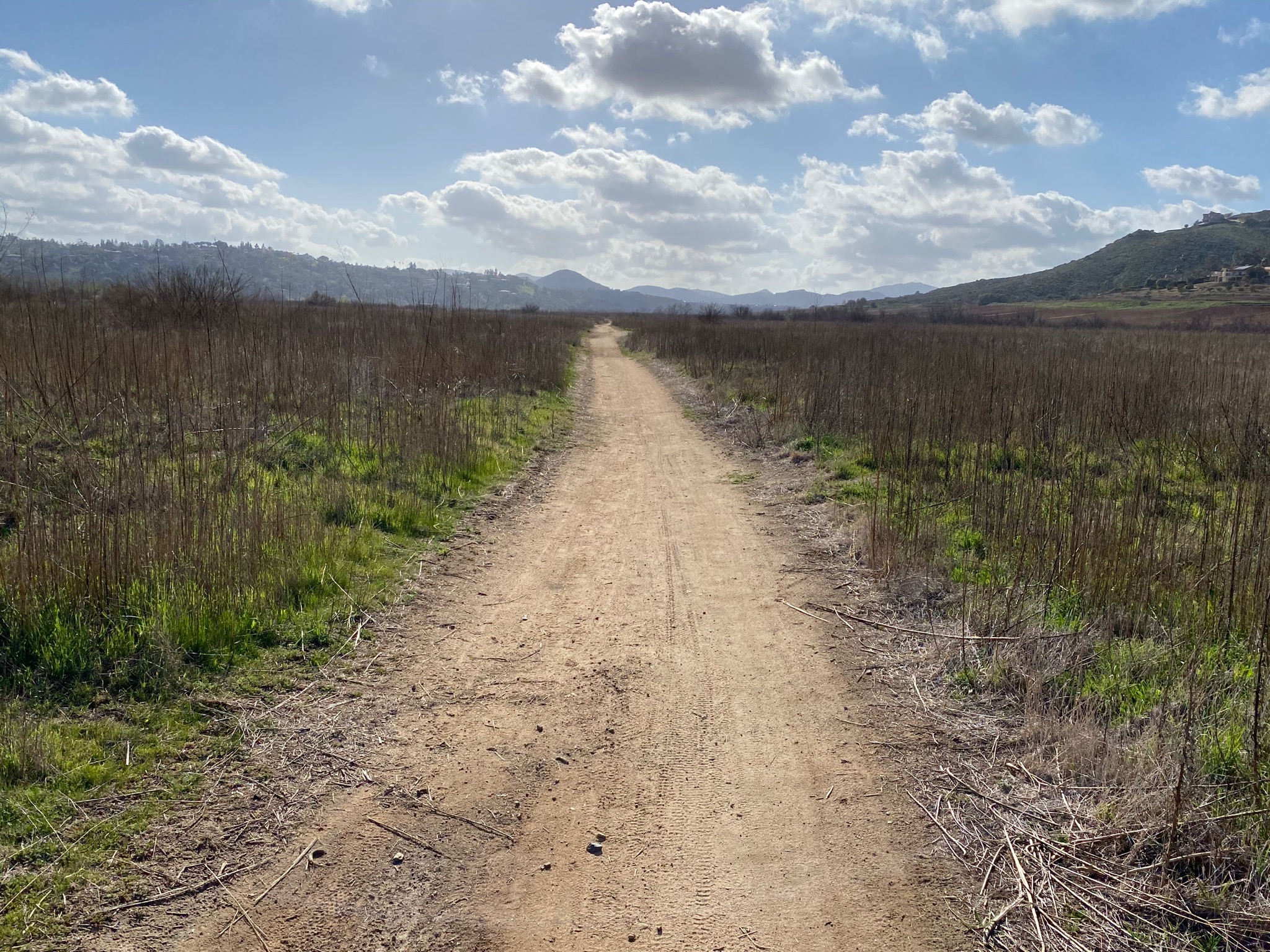
Fig. 24. The trail crosses broad San Dieguito River floodplain. |
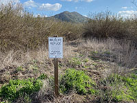
Fig. 25. Wildlife refuge sign for restored riparian habitat. |
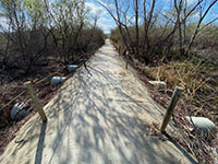
Fig. 26. Trail crossing San Dieguito River wetlands. |
|
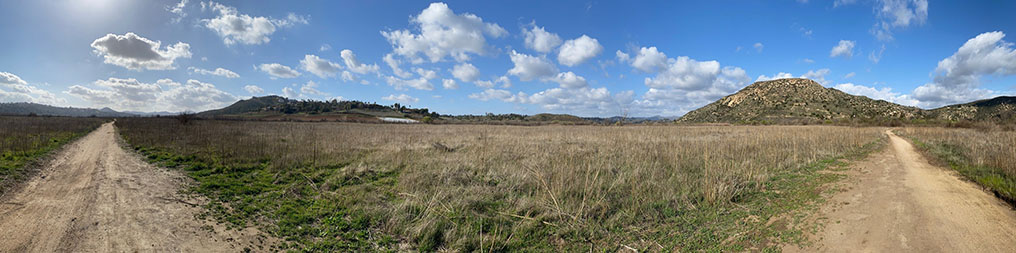
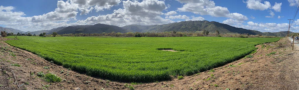
| Fig. 27. This panoramic view along the Mule Hill Trail shows grasslands on the floodplain along the north side of the San Pasqual Valley . Note this panoramic view is deceiving—the trail on the left (looking west) is the same as the trail on the right (looking east). |
A4
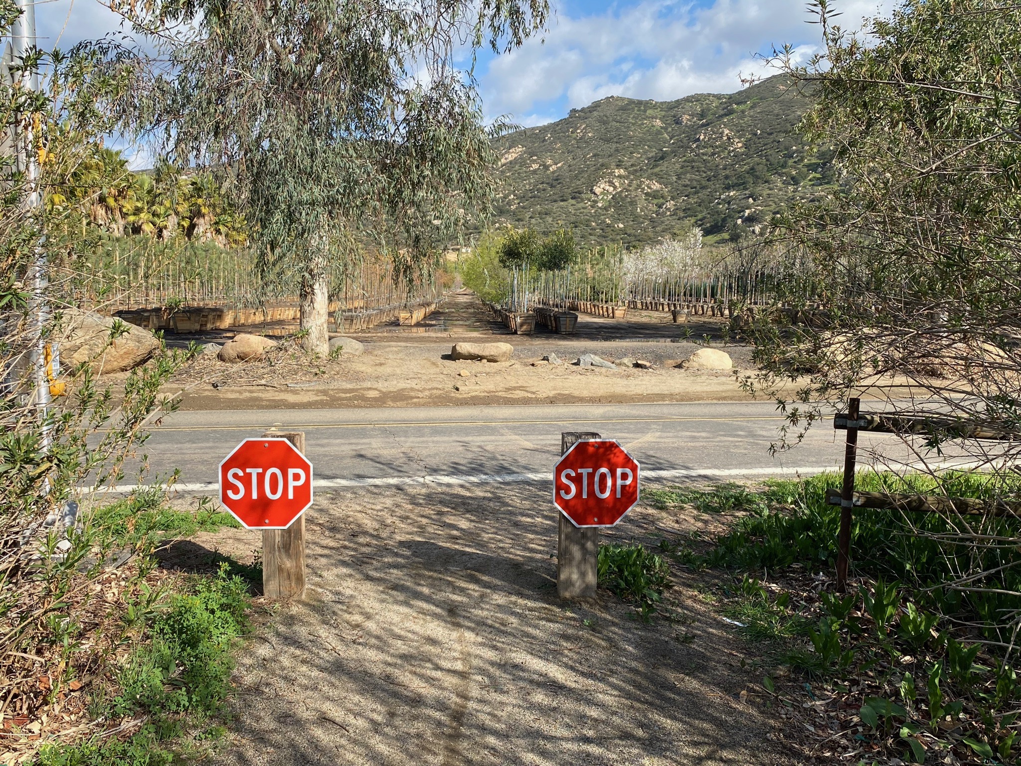
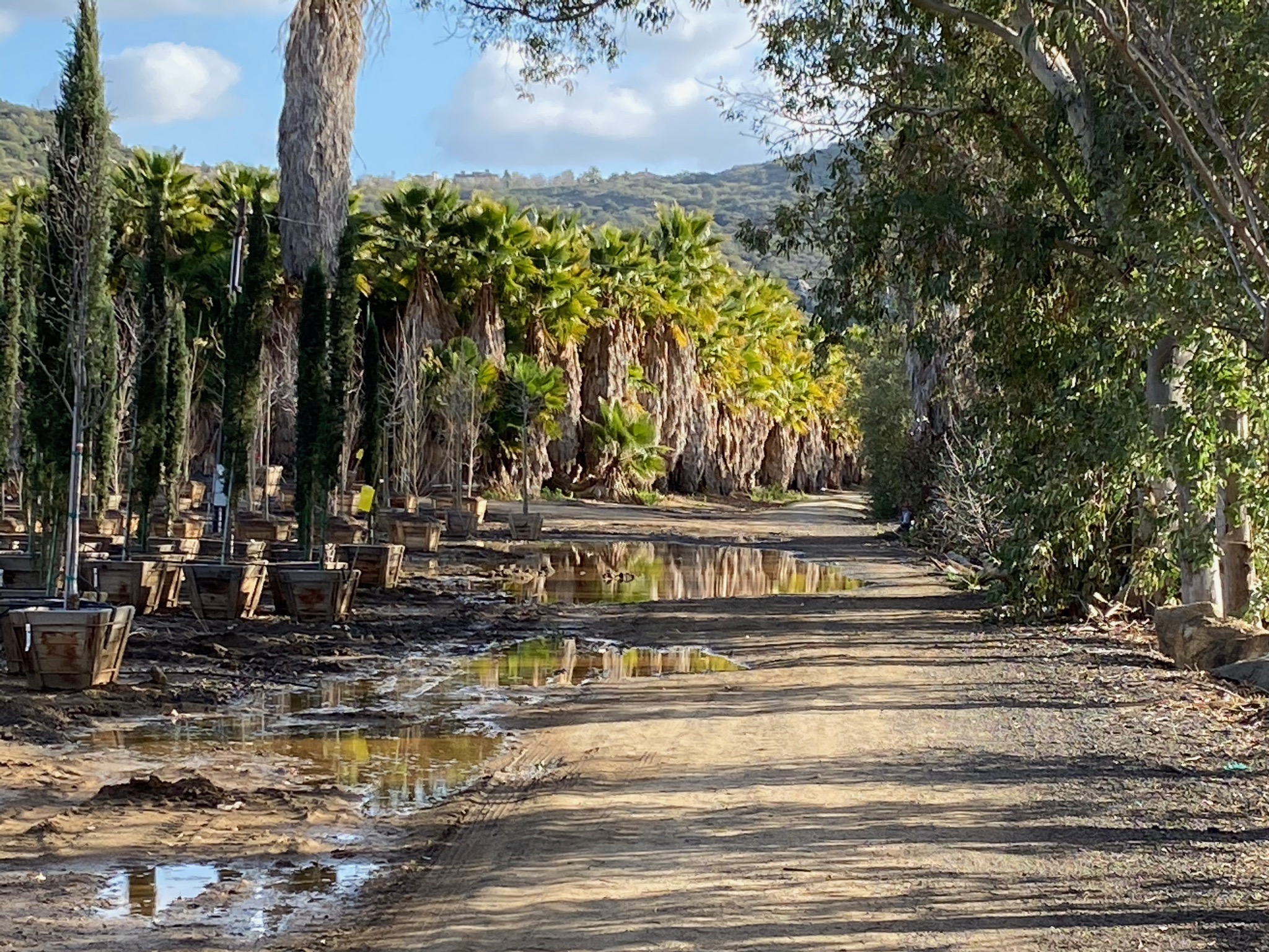
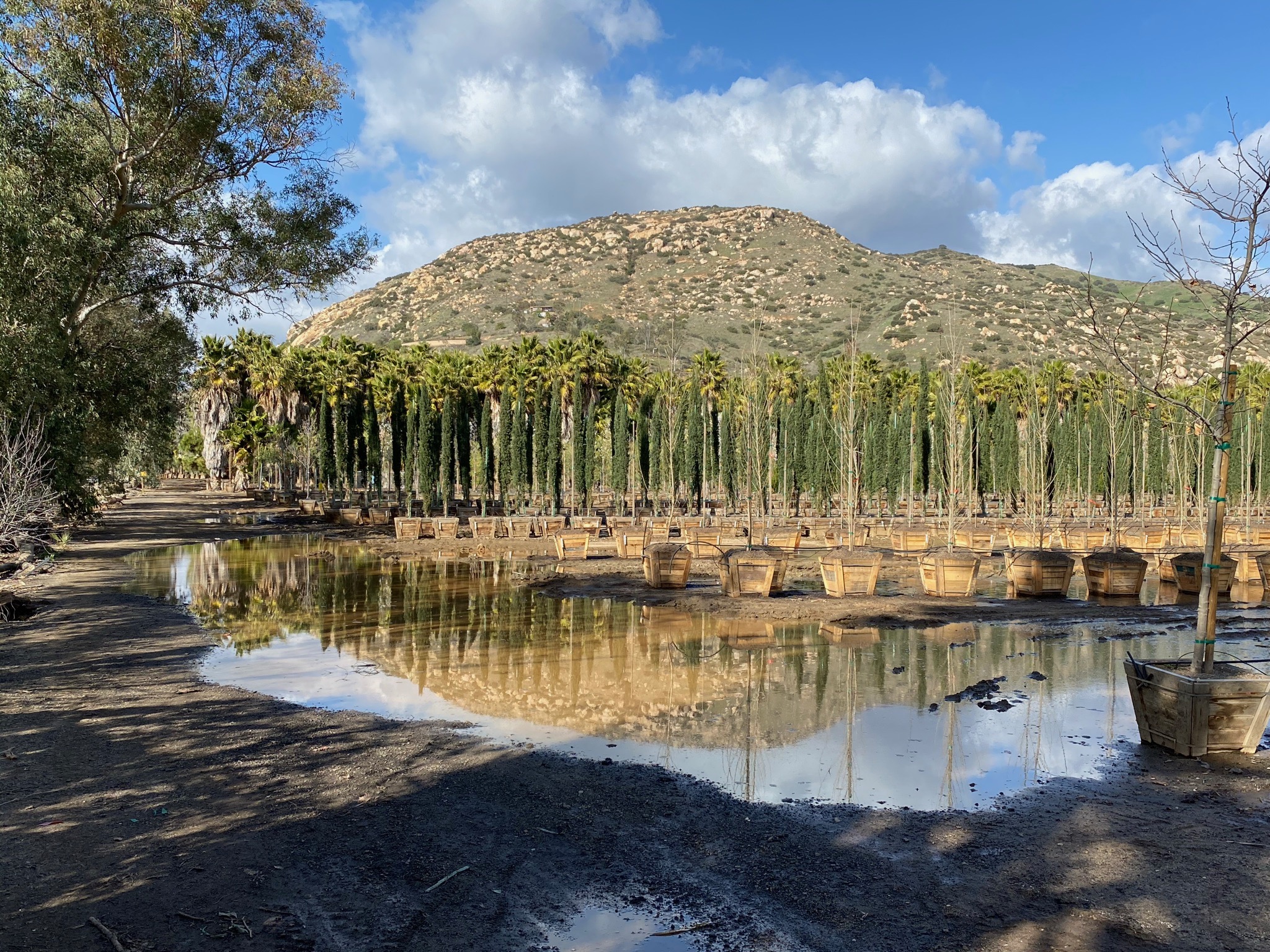
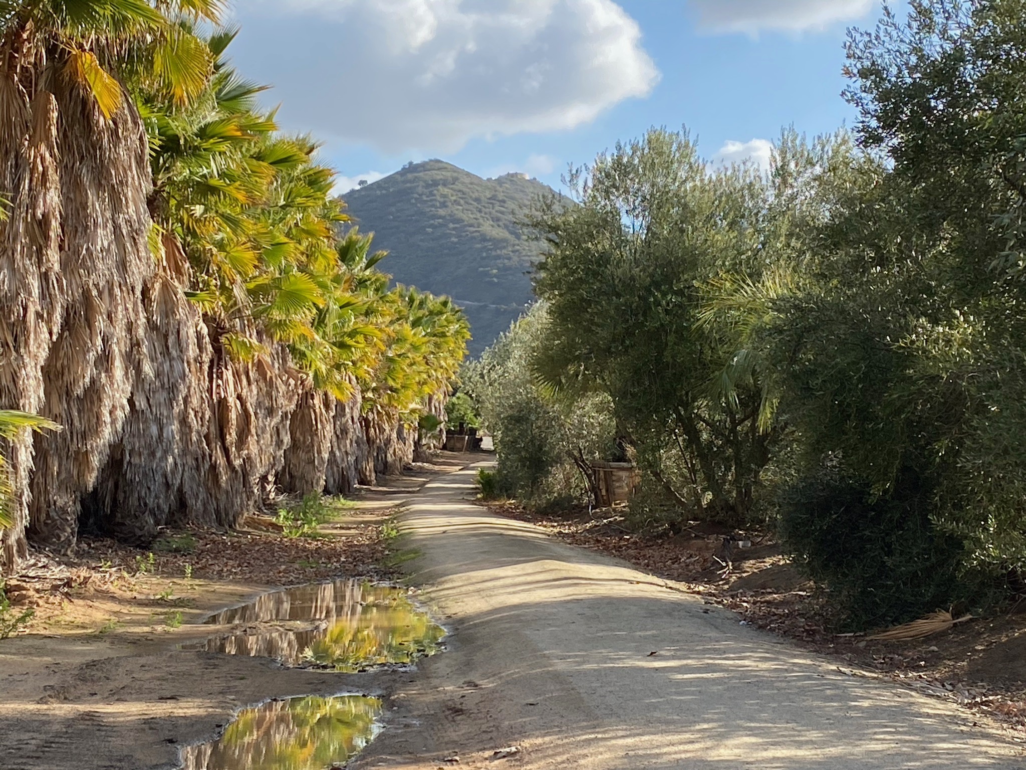
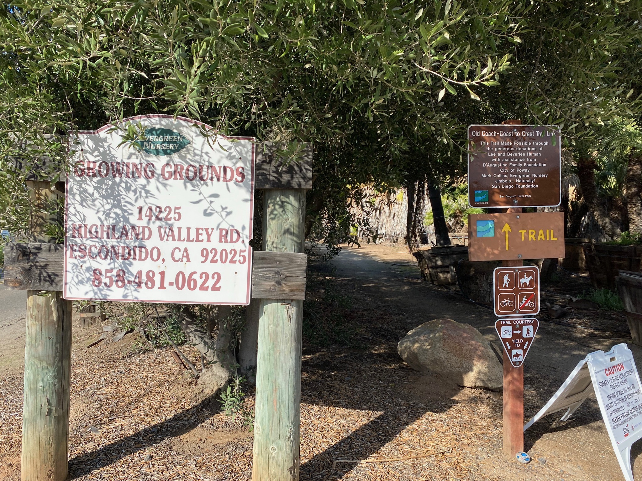
| South of the San Dieguito River crossing, the Mule Hill Trail merges with the Raptor Ridge Trail (Figures 28 to 30). The Raptor Ridge trail follows the south side of the valley to the east for several miles. In the other direction, the trail crosses Highland Valley Road and skirts along the side of a large tree nursery area (with large palm groves) that leads to the parking area at the Old Coach Staging Area (Figures 31 to 35). The Old Coach Trail starts at the Staging area and proceeds south, up and over the mountain ridge and connects to the trail system in the Poway area. |
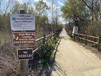
Fig. 28. Signs and a stream gage along Mule Hill Trail. |
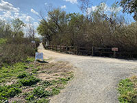
Fig. 29. Intersection of Mule Hill and Raptor Ridge trails. |
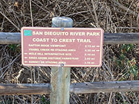
Fig. 30.Trail mileage sign at the intersection. |
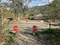
Fig. 31. Trail crosses Highland Valley Road to parking area. |
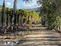
Fig. 32. Trail borders a large tree nursery with large palms. |

Fig. 33. Large puddle along trail in the tree farm. |
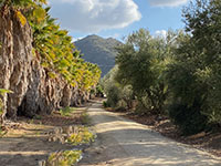
Fig. 34. Trail view with Sycamore Ridge in distance. |

Fig. 35. Trailhead at Old Coach Staging Area. |
|
A5
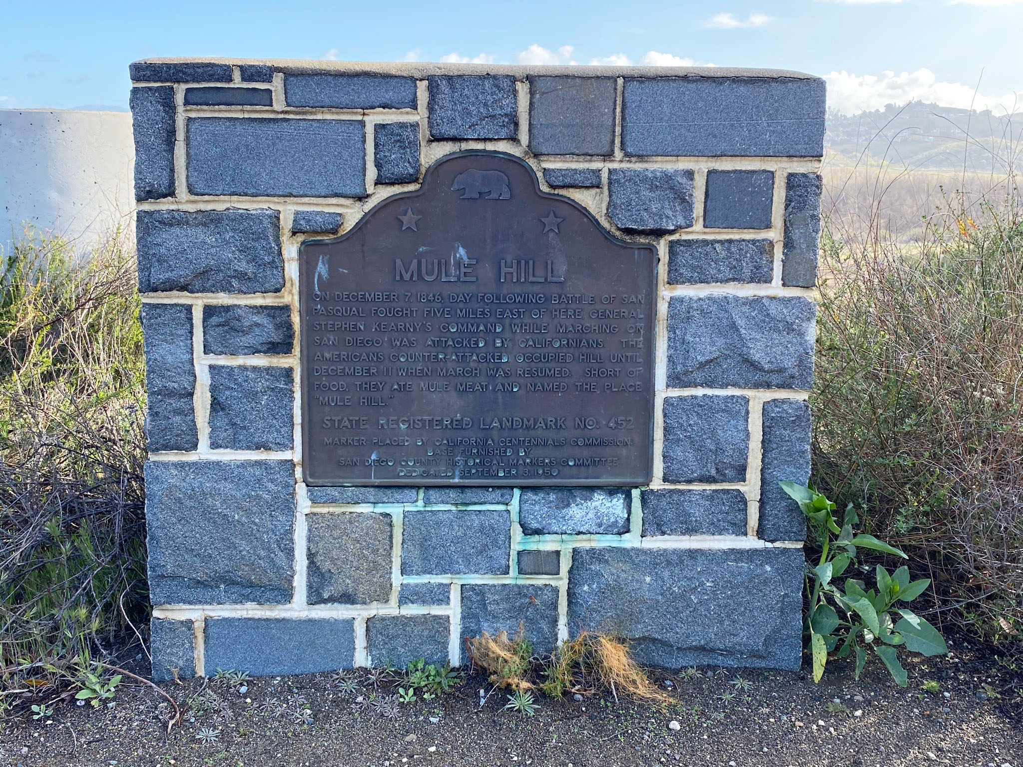
Mule Hill Monument
A landmark commemorating the Mule Hill battlefield area is located along Pomerado Road near the I-15 exit. The text on the dark monument brass plaque says:
"MULE HILL"
"On December 7, 1946, Day following battle of San Pasqual fought five miles east of here General Stephen Kearny's Command while marching on San Diego was attacked by Californians. The Americans counter-attacked occupied hill until December 11 when march was resumed. Sort of food, they ate mule meat and named the place "Mule Hill." State Registered Landmark No. 452. Marker placed by California Centennials Commission. Base furnished by San Diego County Historical Markers Committee. Dedicated September 3, 1950." |

Fig. 34. Mule Hill Monument on Pomerado Road near 1-15. |
A6
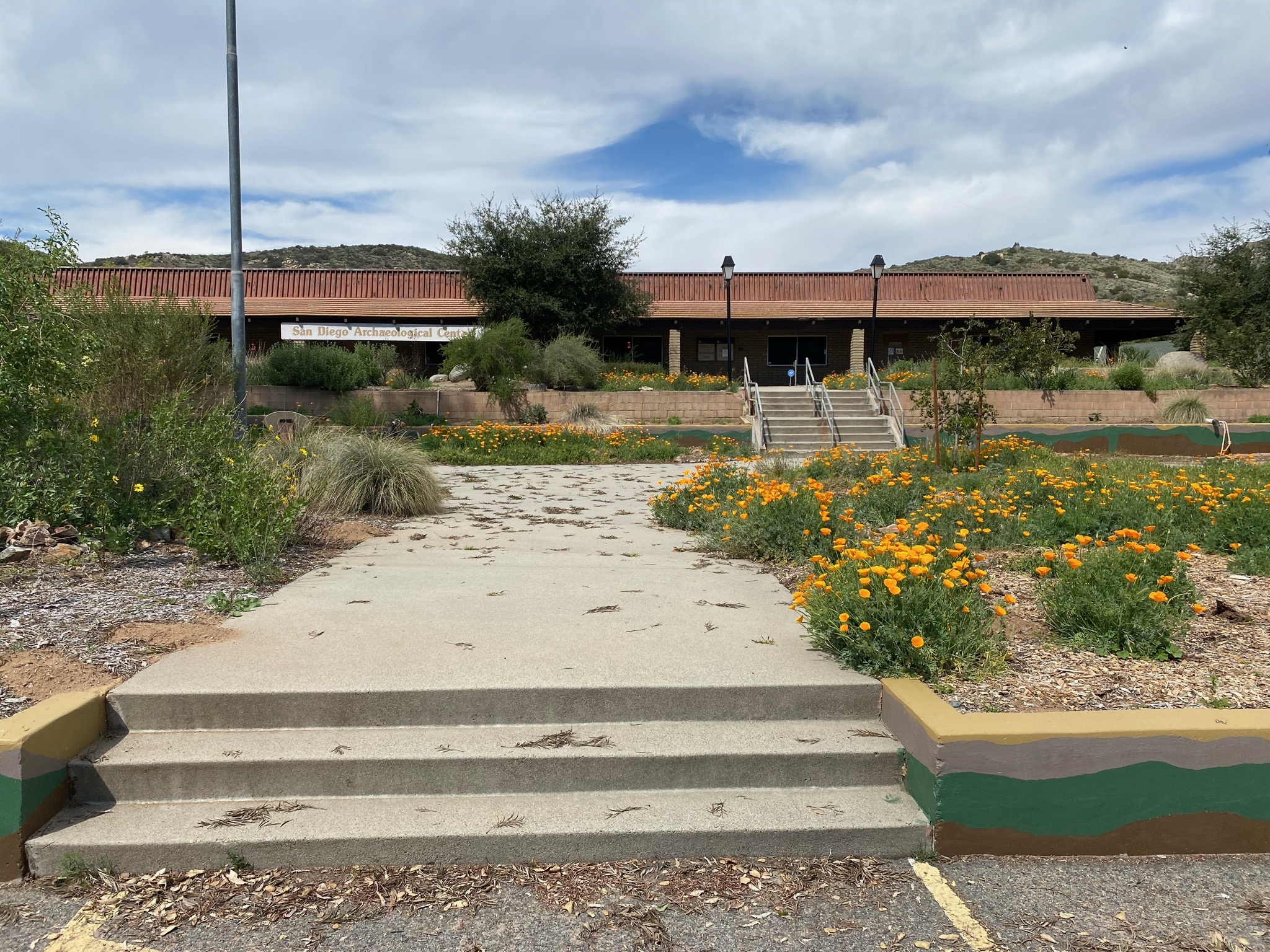
San Pasqual Battlefield State Historic Park and San Diego Archaeological Center
Just east of the Zoo Safari Park on Highway 78 are two unique museums. The San Pasqual Battlefield State Historic Park commemorates the historic battle of December 6, 1846
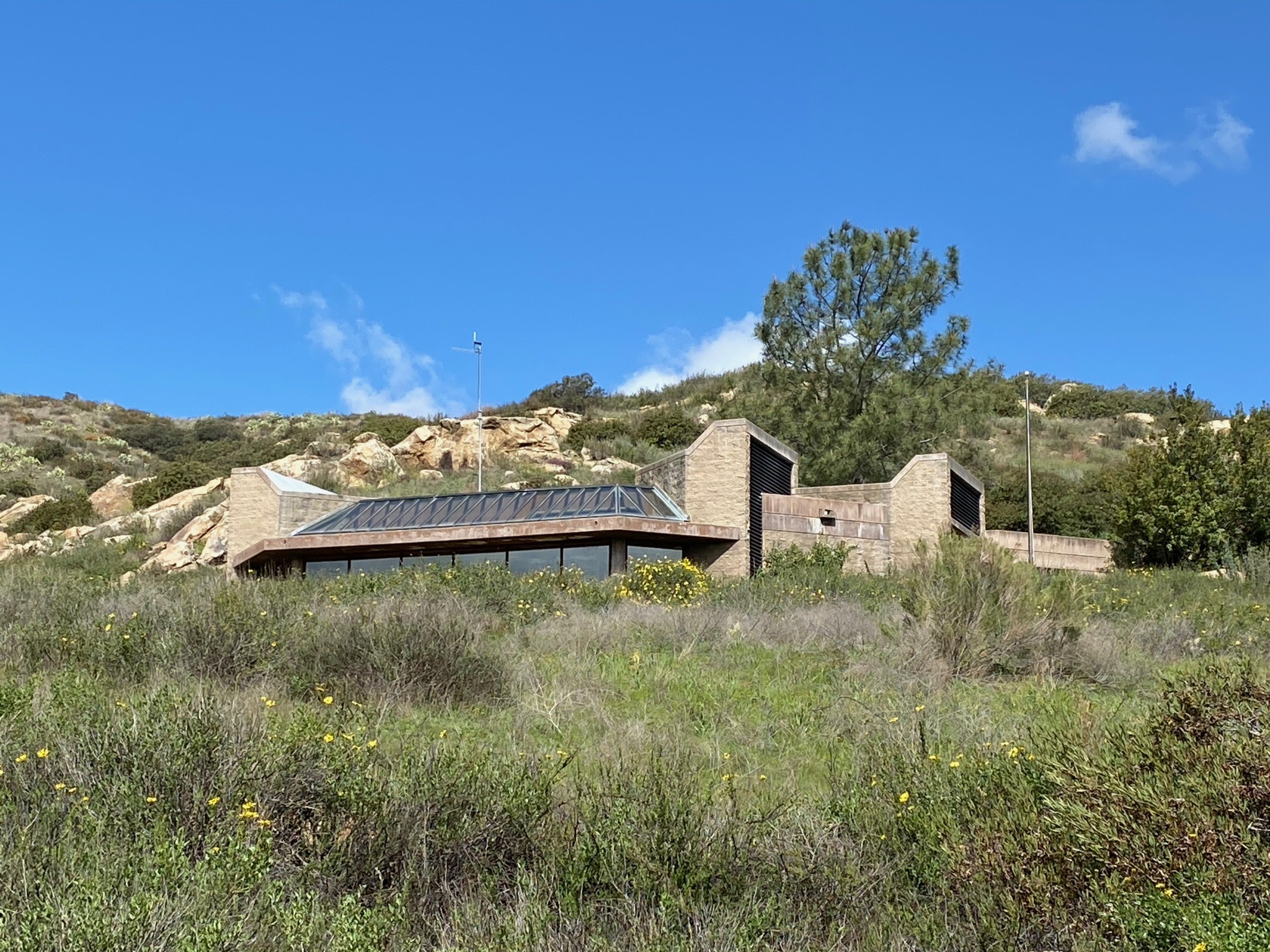
that took place along the central San Pasqual Valley. After the battle in the vicinity, the America troops retreated westward to the Mule Hill battlefield area. Next door is the San Diego Archaeological Center. The Archaeological Center has incredible collections of artifacts and exhibits about peoples living in the San Diego region dating back 10,000 years. |
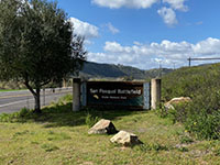
Fig. 35. San Pasqual Battlefield State Historic Park. |
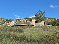
Fig. 36. San Pasqual Battlefield Museum. |

Fig. 37. San Diego Archaeological Center. |
Fig. 38. San Diego Archaeological Center. |
|
| View of hay fields and the Santa Ysabel Creek wetlands and distant Raptor Ridge on the opposite side of the valley. This field next to Highway 78 is across the street from the San Pasqual Battlefield State Historic Park and the San Diego Archaeological Center. |
A7
Selected Resources
California Department of Parks and Recreation, San Pasqual Battlefield State Historic Park. (link)
Ray, N., 1988, Battlefield Victory: Mule Hill, the Site of 1846 Battle, Captured At Last for History: Los Angeles Times (news article archive, 3-06-1988). (link)
San Diego Archaeological Center -- Preserving Pieces of the Past: website (link)
Schreier, Jr., K.F. 1975, A study of the location of Mule Hill: General Kearny’s Camp After the Battle of San Pasqual: The Journal of San Diego History, v. 21, no. 2. (link)
Smith, 2013, On the trail of San Diego History: Mule Hill: San Diego Reader. (link)
San Dieguito River Parks, Coast and Other Trails At San Pasqual Valley (trail map and brochure). (link)
San Dieguito Rover Park: San Pasqual Valley website. (link)
|
| https://gotbooks.miracosta.edu/fieldtrips/San Pasqual_Valley/Mule_Hill_Trail.html |
3/19/2021 |
|