|
Raptor Ridge and San Pasqual Valley Trails |
|
San Pasqual Valley near Rancho Bernardo and Escondido, California |
|
A1
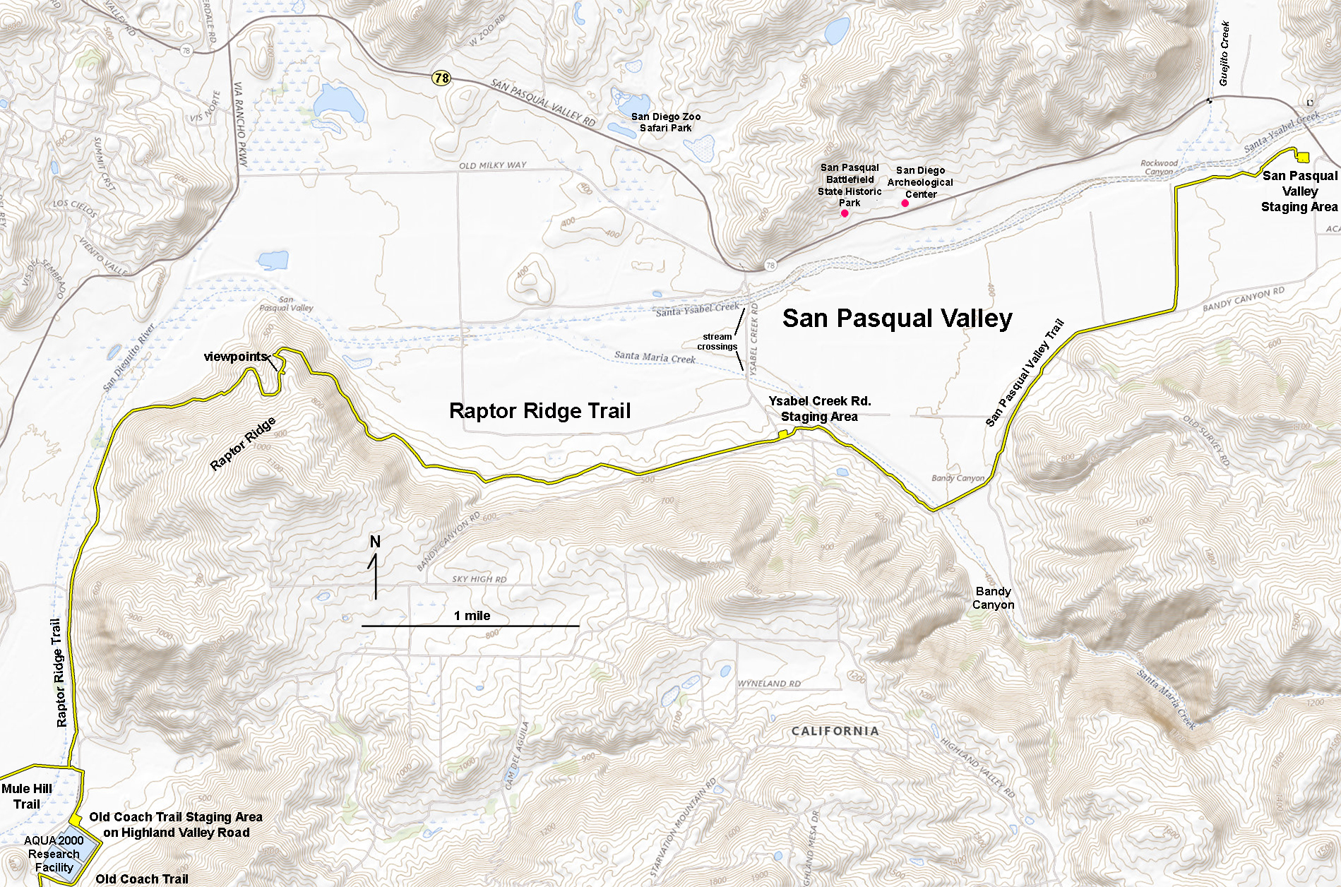
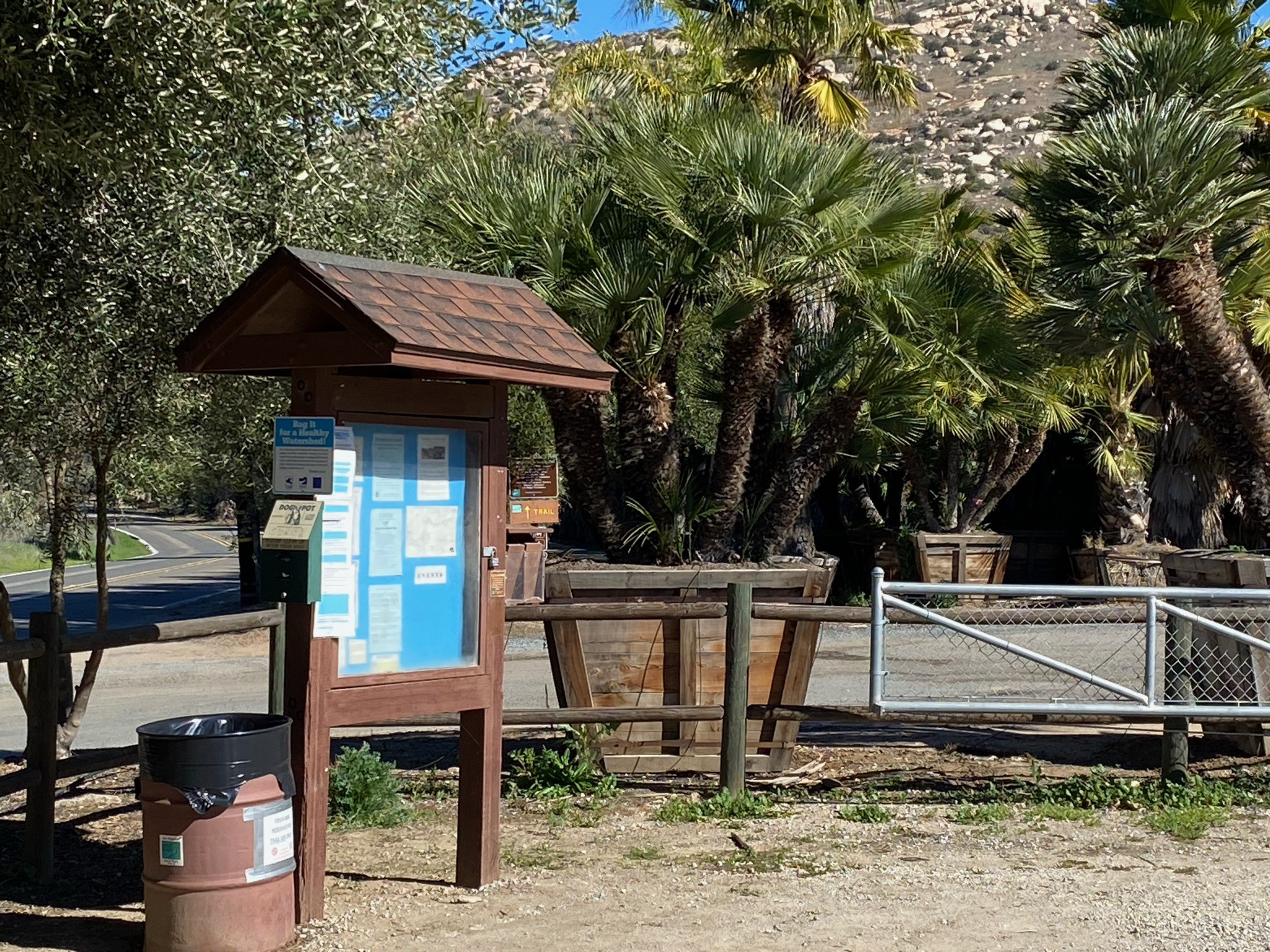
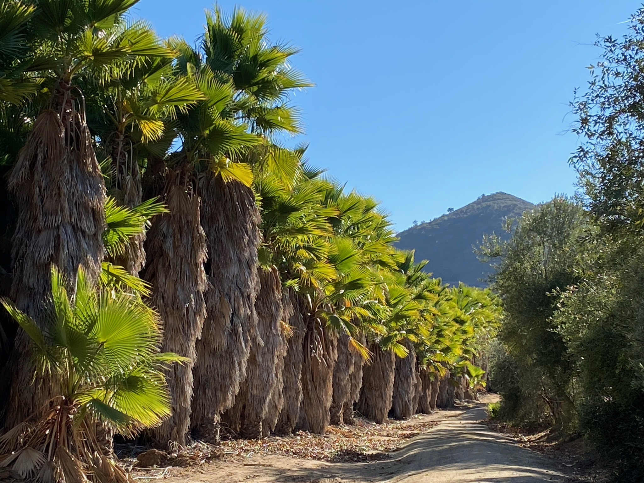
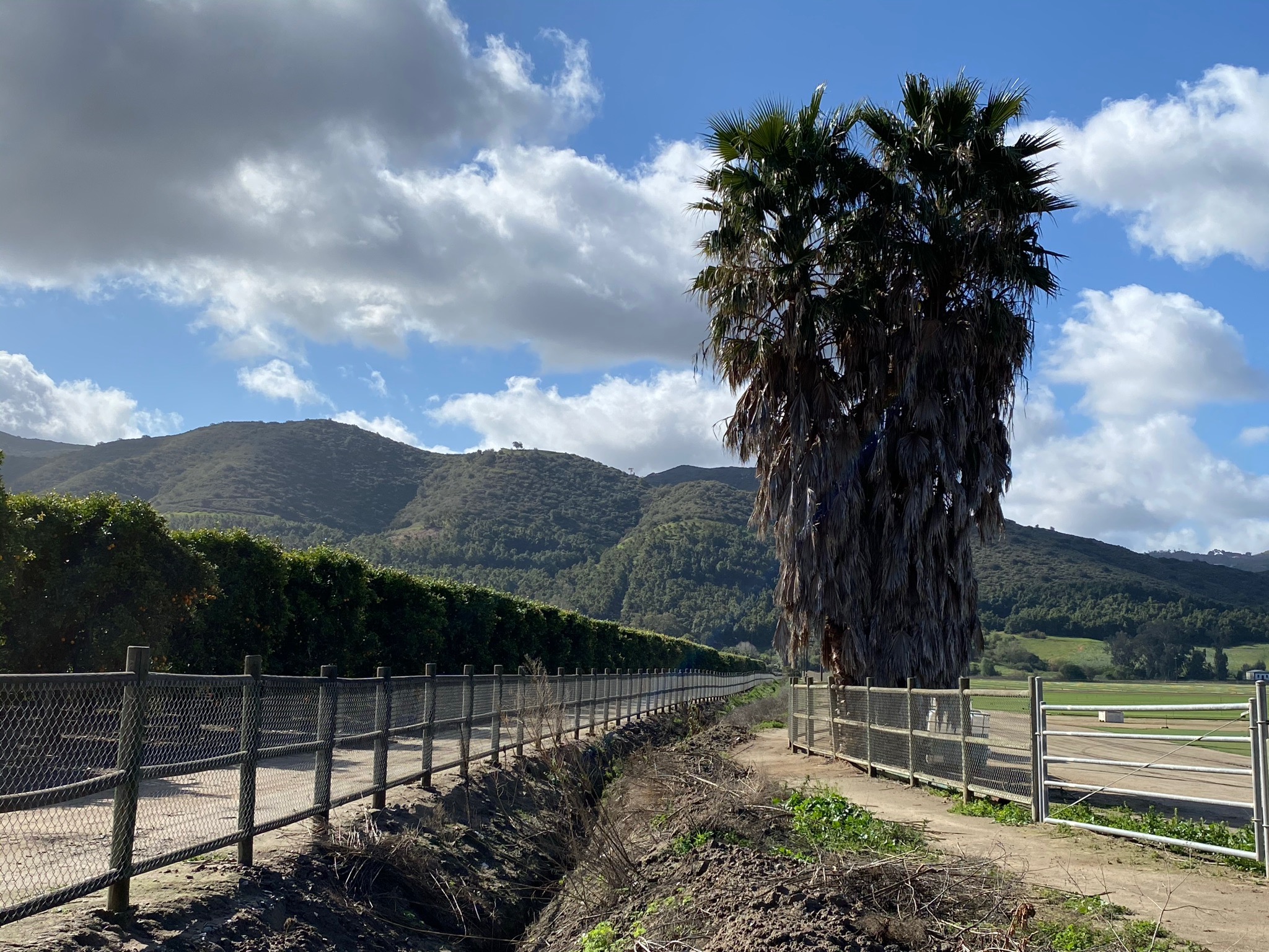
The Raptor Ridge Trail and San Pasqual Valley Trail are part of the Coast To Crest Trail maintained by the San Dieguito River Park that runs along the south side of San Pasqual Valley (Figure 1). The photo collection below illustrates the route starting with the Raptor Ridge Trail starting from the Old Coach Trail Staging Area (parking) on Highland Valley Road (Figure 2). Here, the access trail passes along a scenic palm grove in a tree nursery (Figure 3). The trail crosses Highland Valley Road and leads to the intersection of the Mule Hill Trail and the Raptor Ridge Trail (Figure 4).
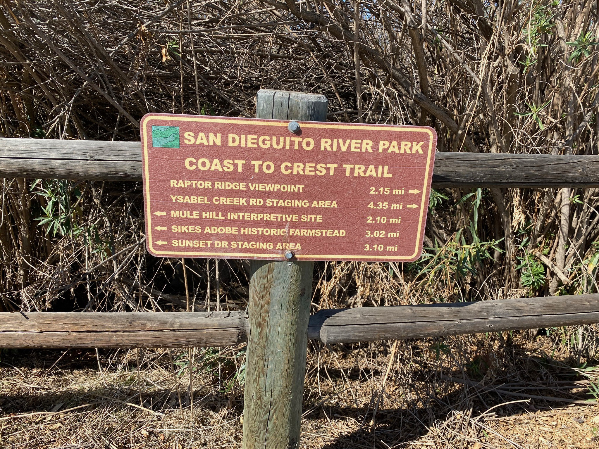
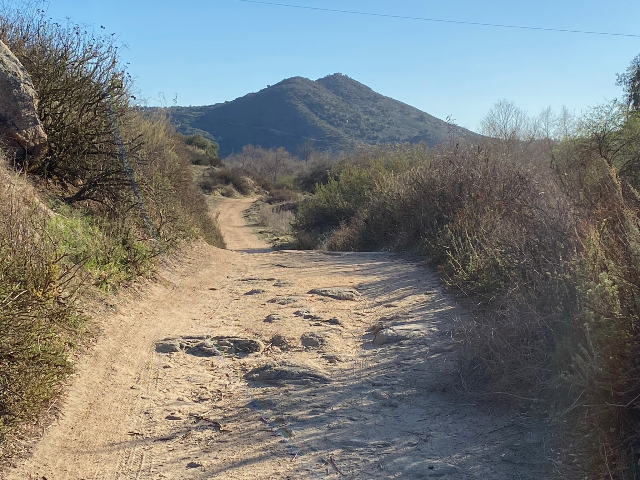
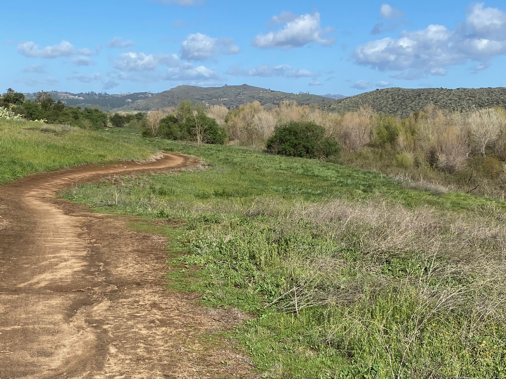
The first mile of the Raptor Ridge trail is relatively flat and wide as it follows the boundary of the San Dieguito River floodplain and the scenic mountain slopes along the south side of the valley (Figures 5 to 20). The second mile leads up the mountain to two viewpoints near the high point along the trail (Figures 21 to 32). After that, the trail descend eastward back into the valley for a couple more miles to the Ysabel Creek Road Staging Area.
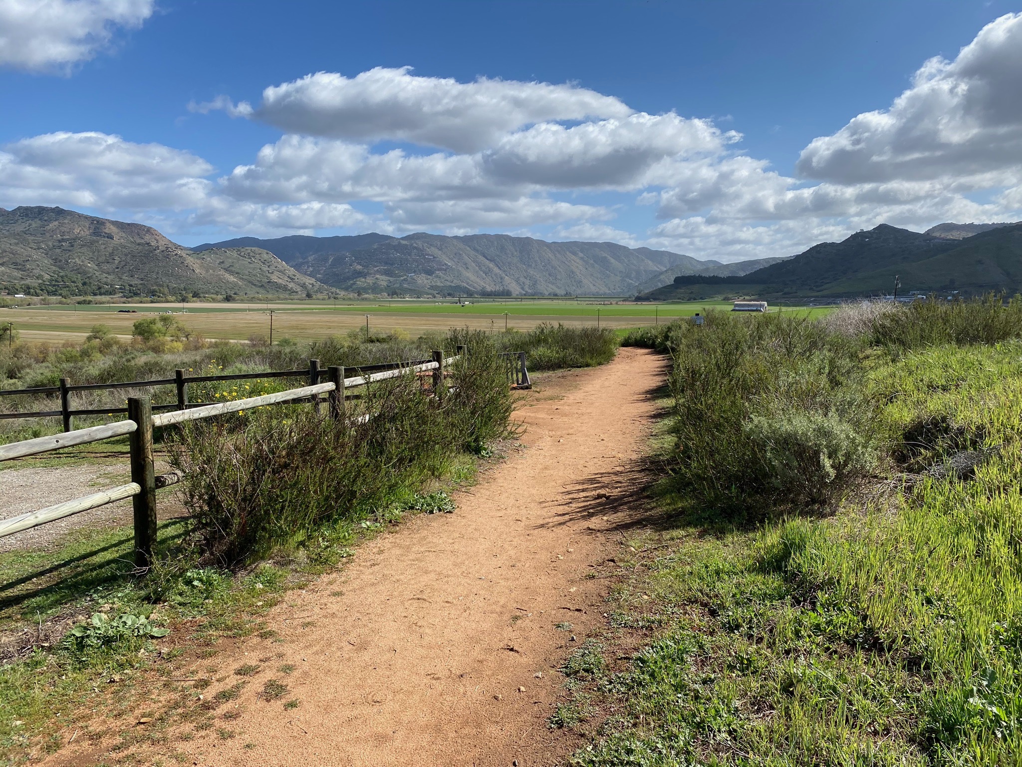
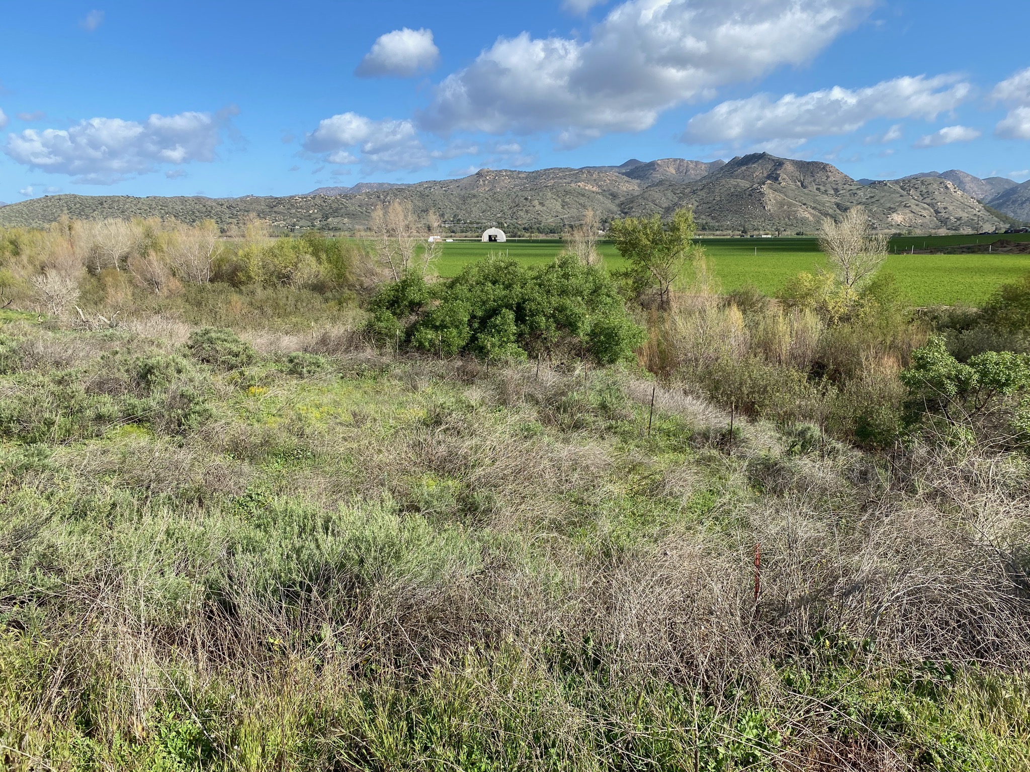
East of the staging area, the trail becomes the San Pasqual Valley Trail. This 2.75 mile section of trail Santa Maria Creek before following Bandy Canyon Road, farm roads, and Santa Ysabel Creek to the San Pasqual Valley Staging area at the east end of the valley (Figures 41 to 61). |
Click on images for a larger view. |
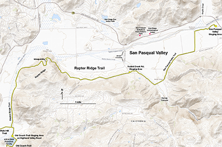
Fig. X. Trail map for the Raptor Ridge Trail and San Pasqual Valley Trail in the eastern end of San Pasqual Valley. |
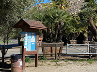
Fig. 2. Old Coach Trail Staging Area (trailhead). |

Fig. 3. Palms along the connector trail in tree nursery. |
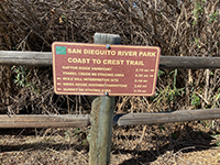
Fig. 4. Mileage sign at Mule Hill/Raptor Ridge intersection. |
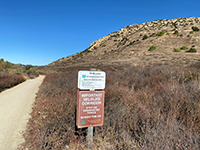
Fig. 5. Sign indicating sensitive habitat area. |
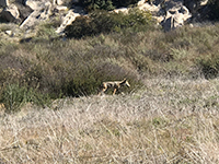
Fig. 6. Coyote are a common sighting in the area. |
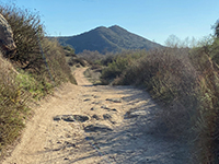
Fig. 7. Trail view west with Sycamore Ridge in distance. |
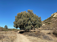
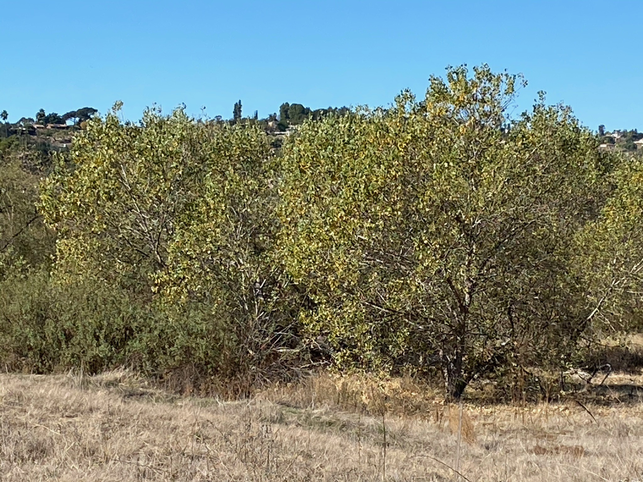
Fig. 8. Eucalyptus tree provides a shady spot. |
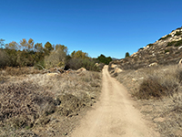
Fig. 9. Trail view along San Dieguito River wetlands. |
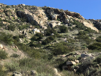
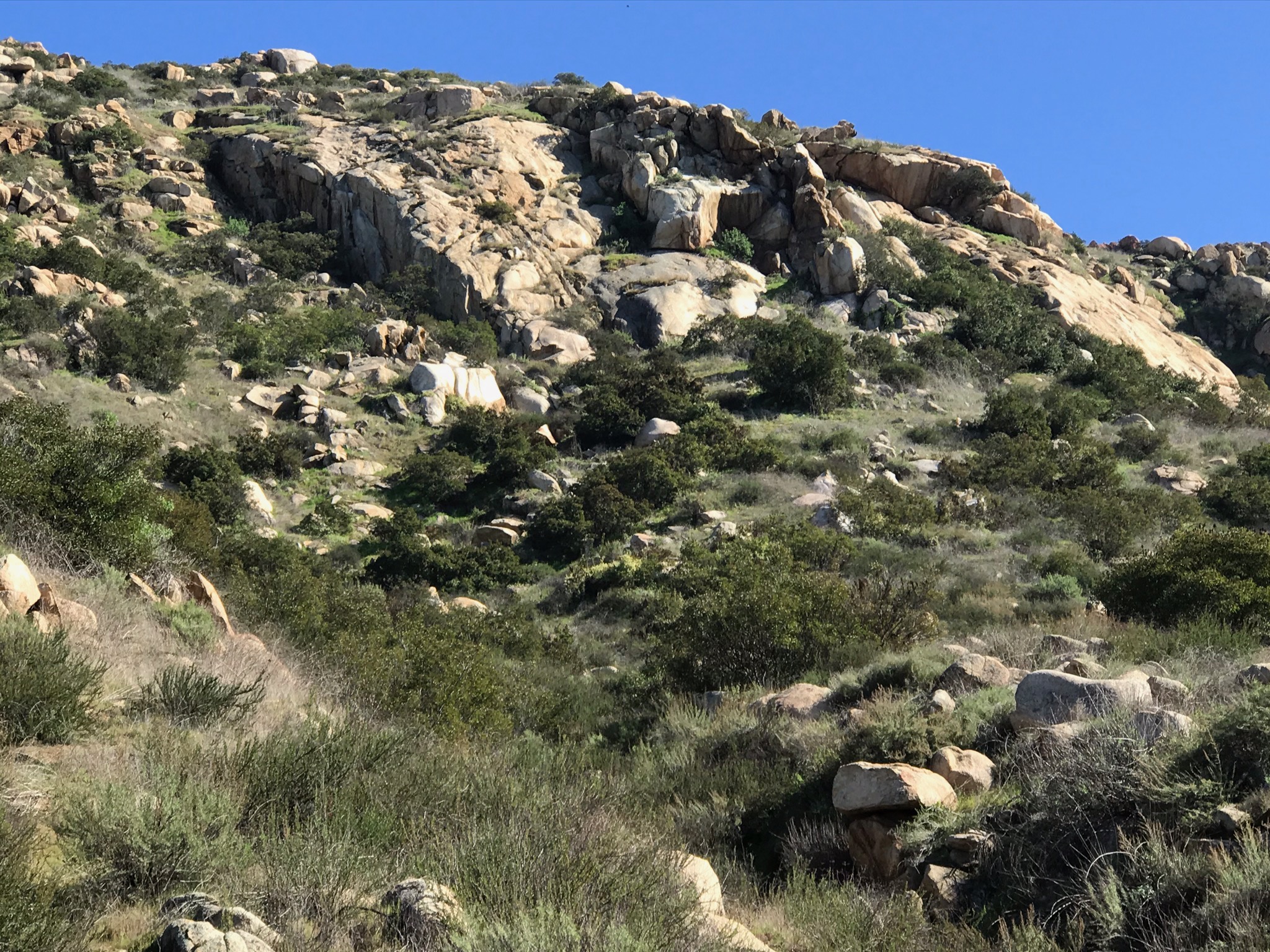
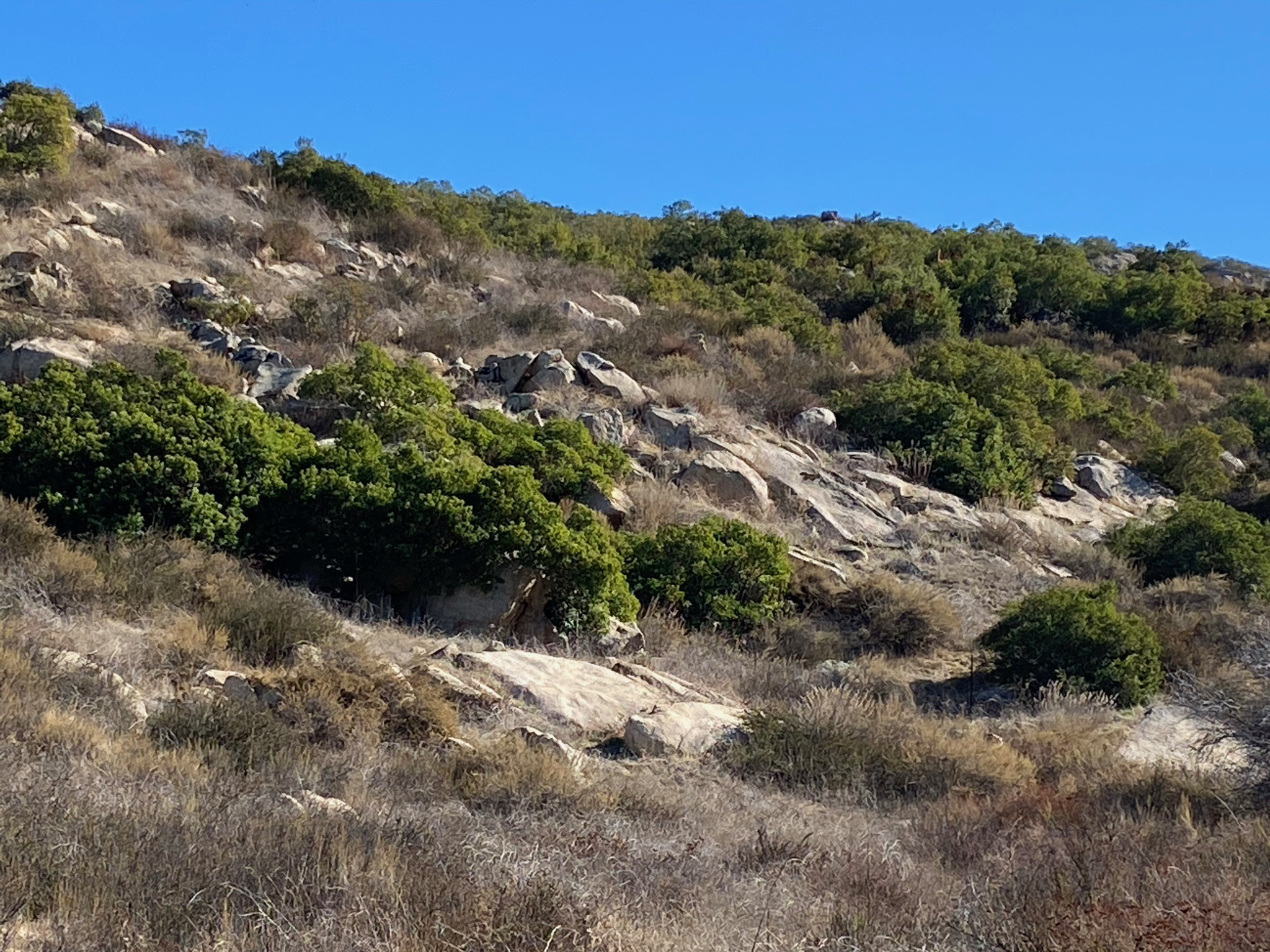
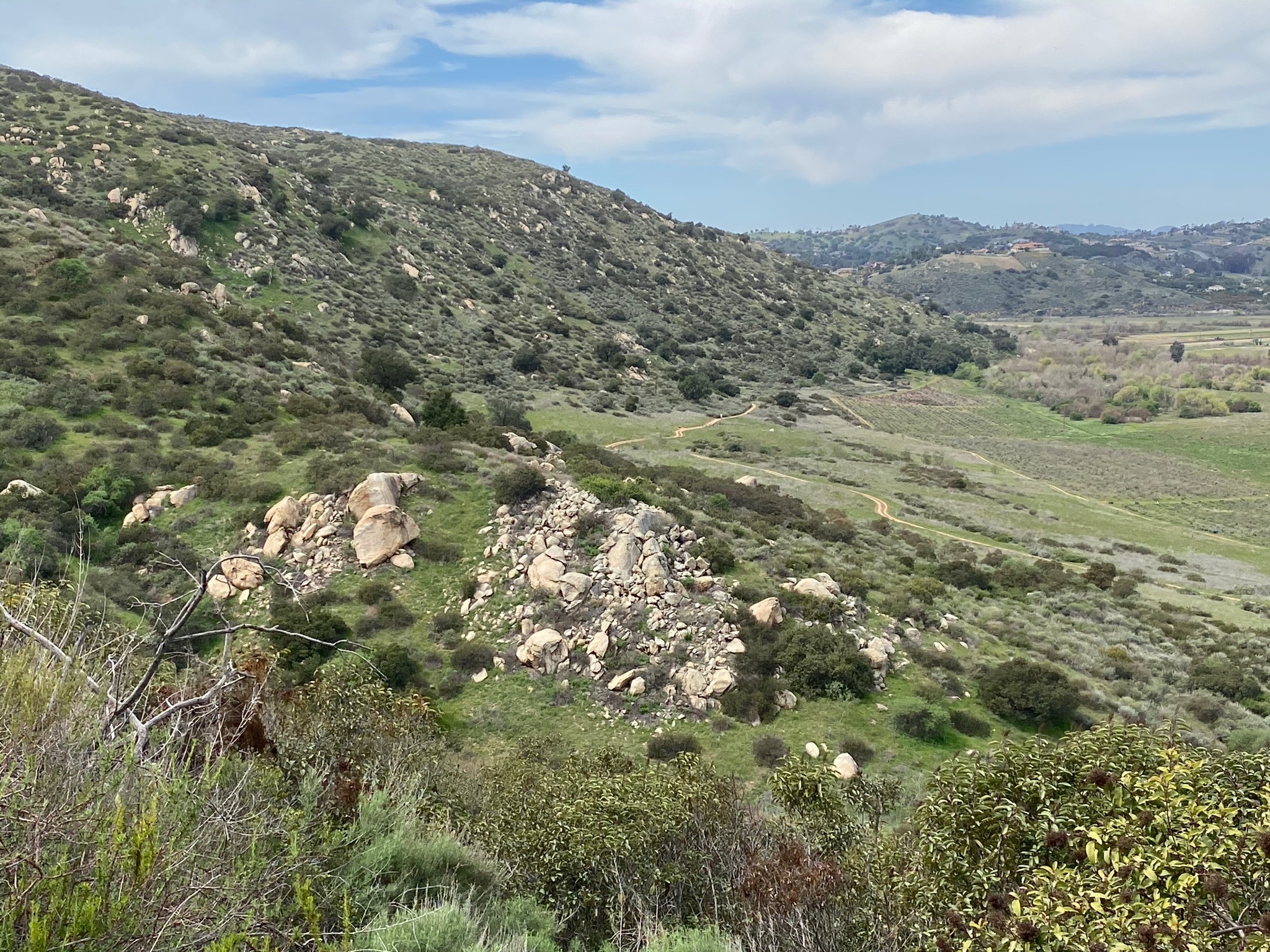
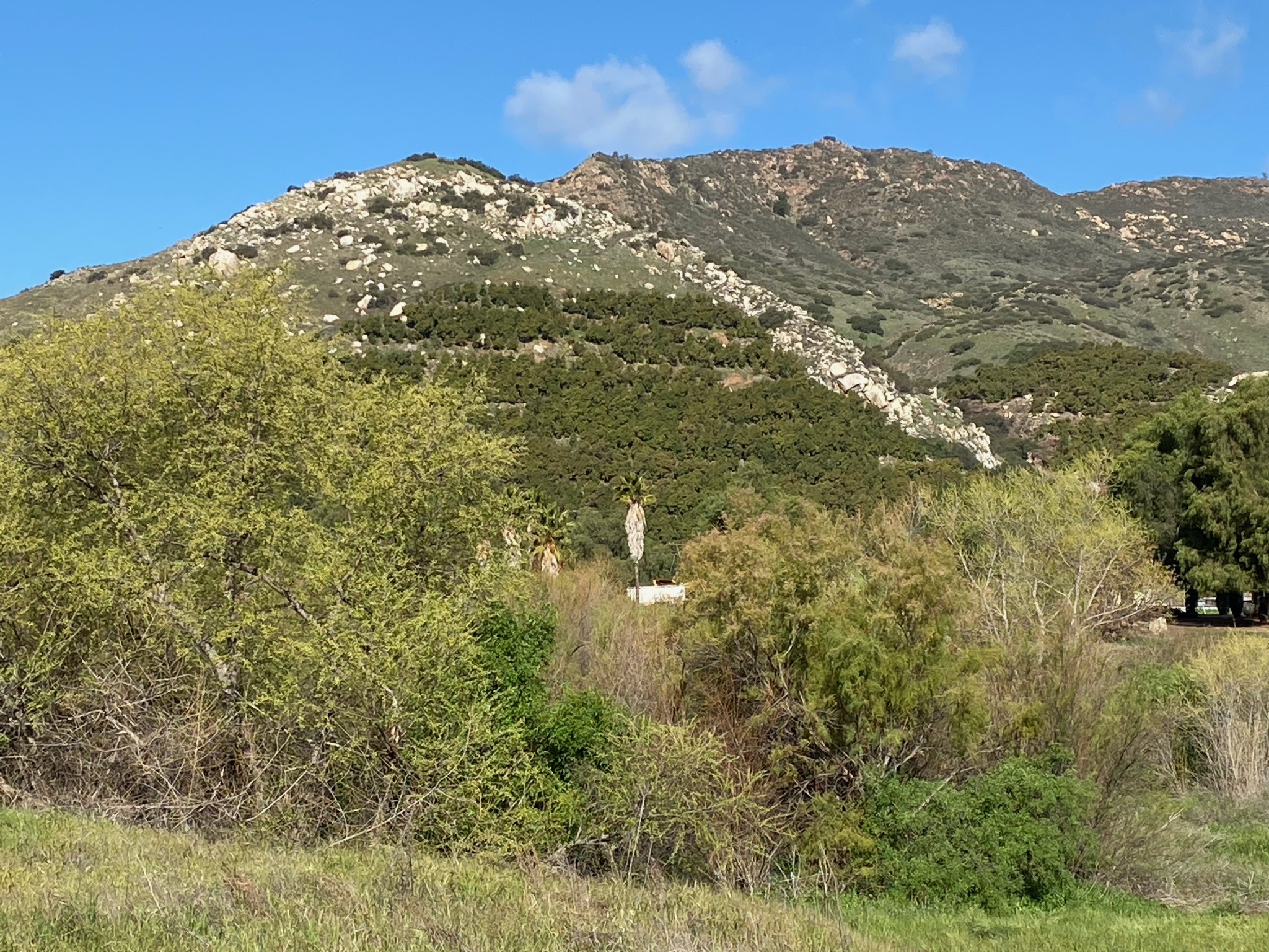
Fig. 10. Massive granite outcrops on Raptor Ridge. |
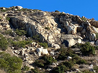
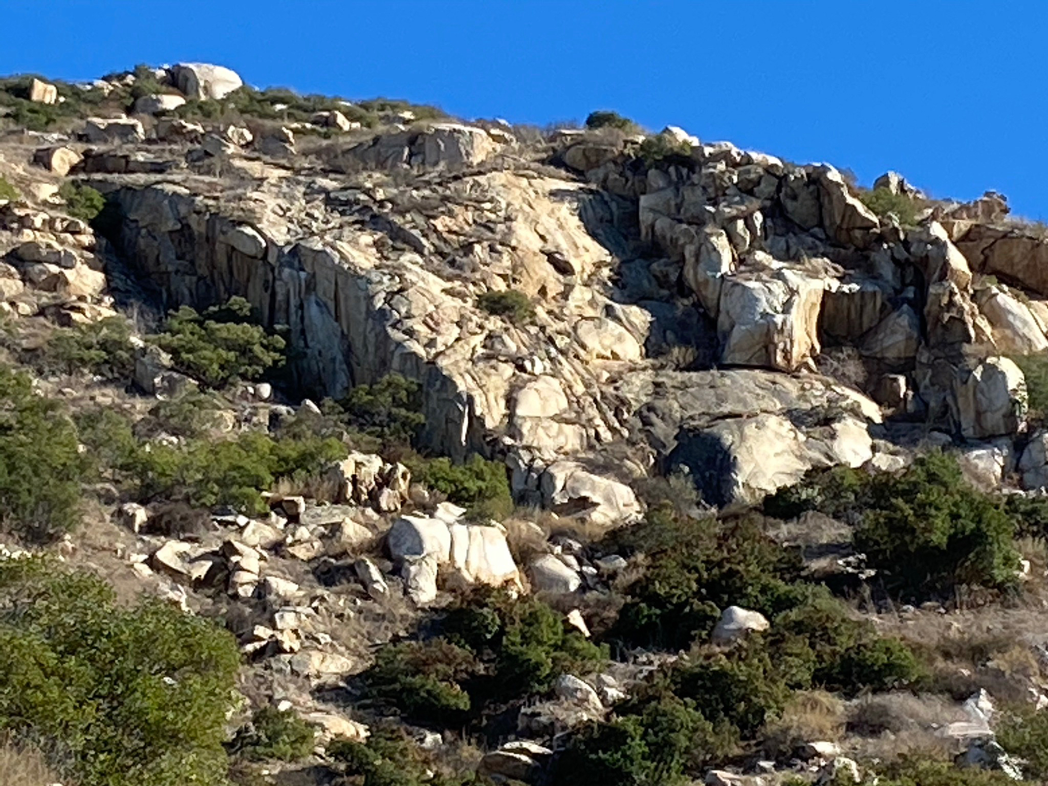
Fig. 11. Zoom view of granite outcrops on Raptor Ridge. |
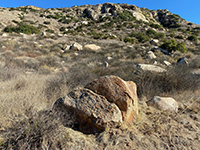
Fig. 12. Colluvium and boulder covered slopes. |
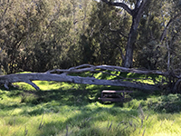
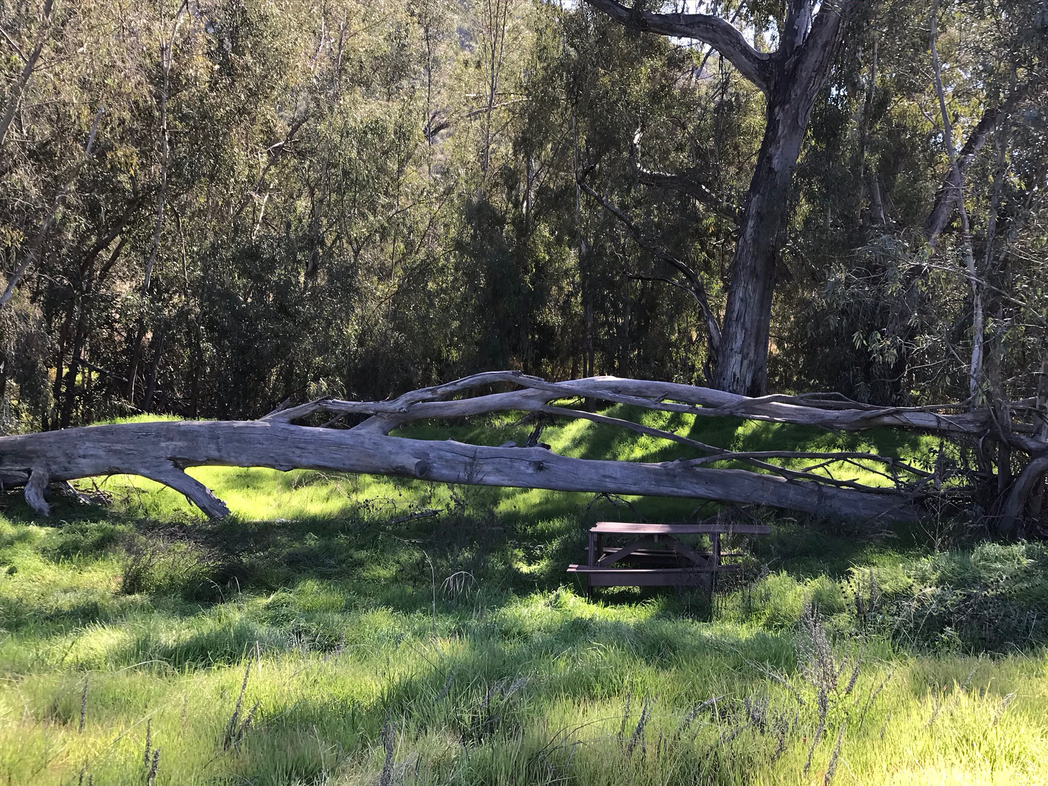
Fig. 13. Picnic table in a shady eucalyptus grove. |

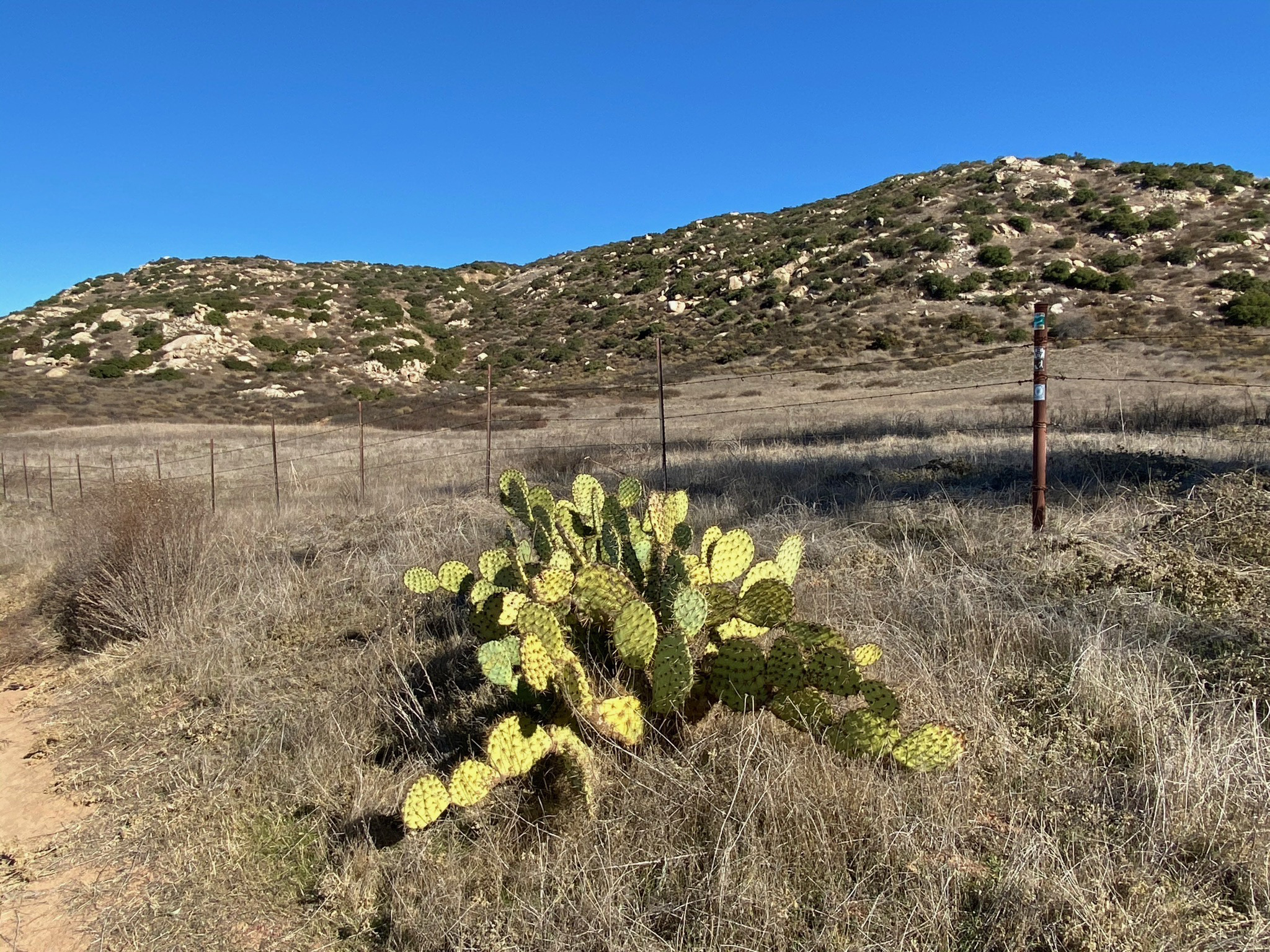
Fig. 14. Prickly pear cactus and grasslands along the trail. |
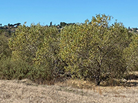
Fig. 15. Sycamore trees along the San Dieguito River. |

Fig. 16. Laural sumacand granite outcrops along trail. |
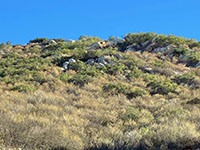
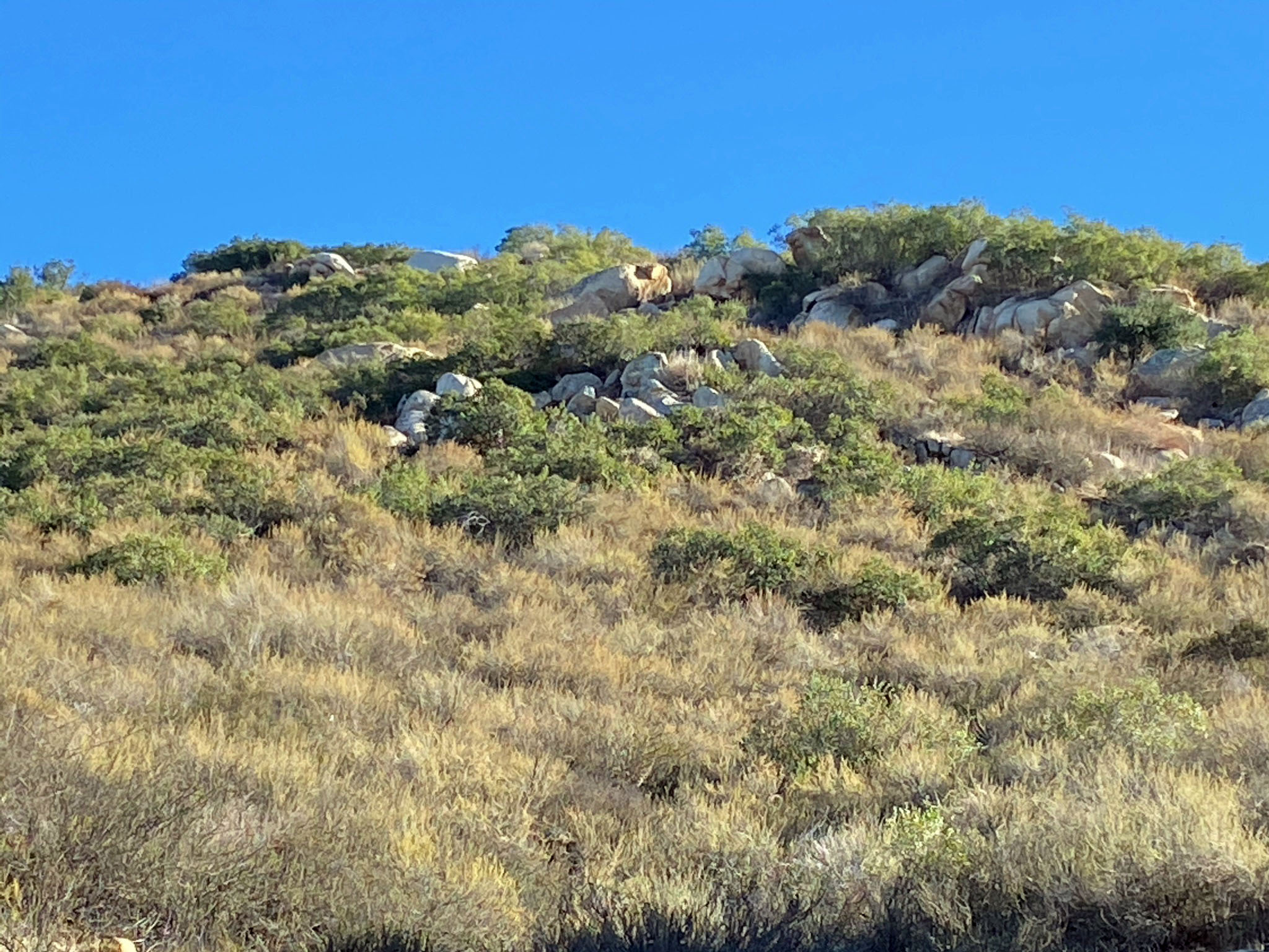
Fig. 17. Coastal sage scrub plant community on hillsides. |
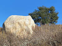
Fig. 18. Large granite boulder and an oak tree. |

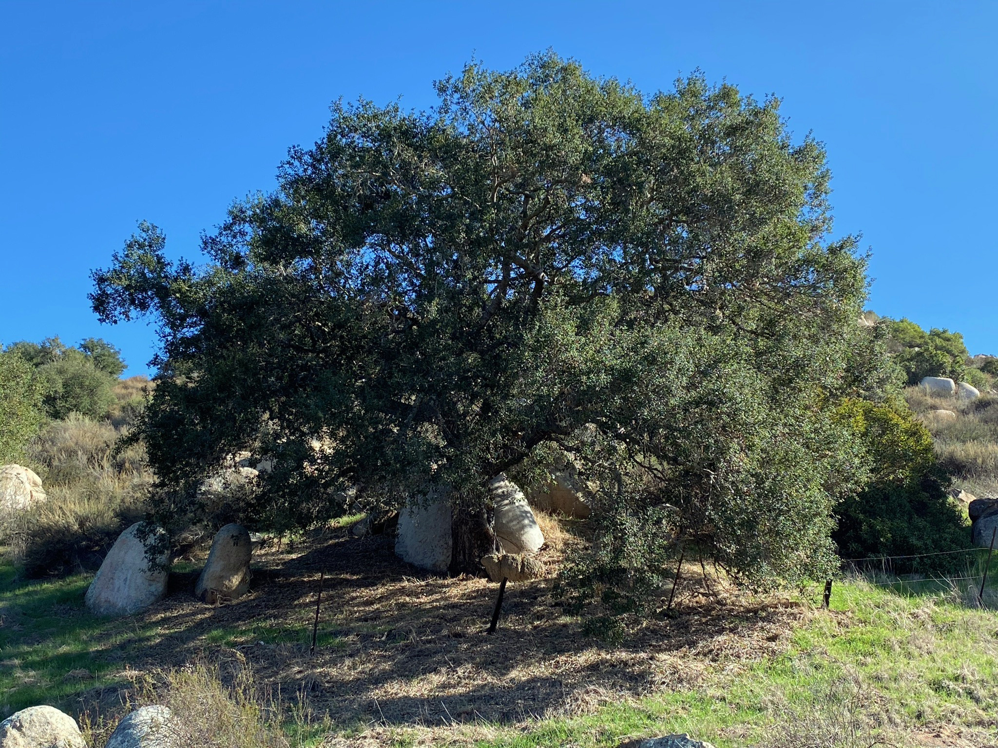
Fig. 19. Large coastal live oak growing amid boulders. |
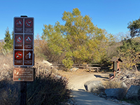
Fig. 20. Picnic table and kiosk where trail starts uphill. |
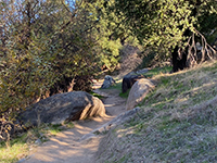
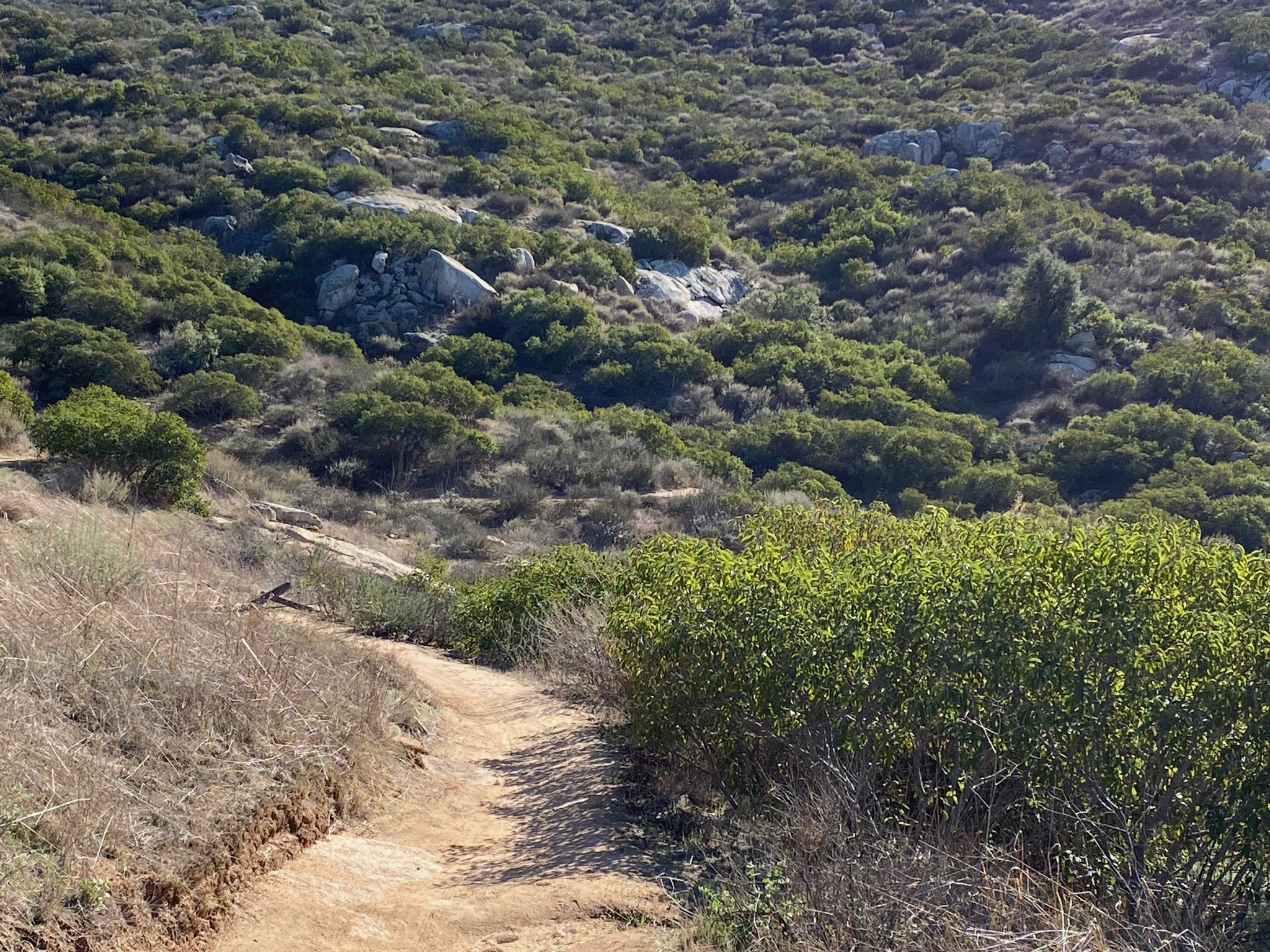
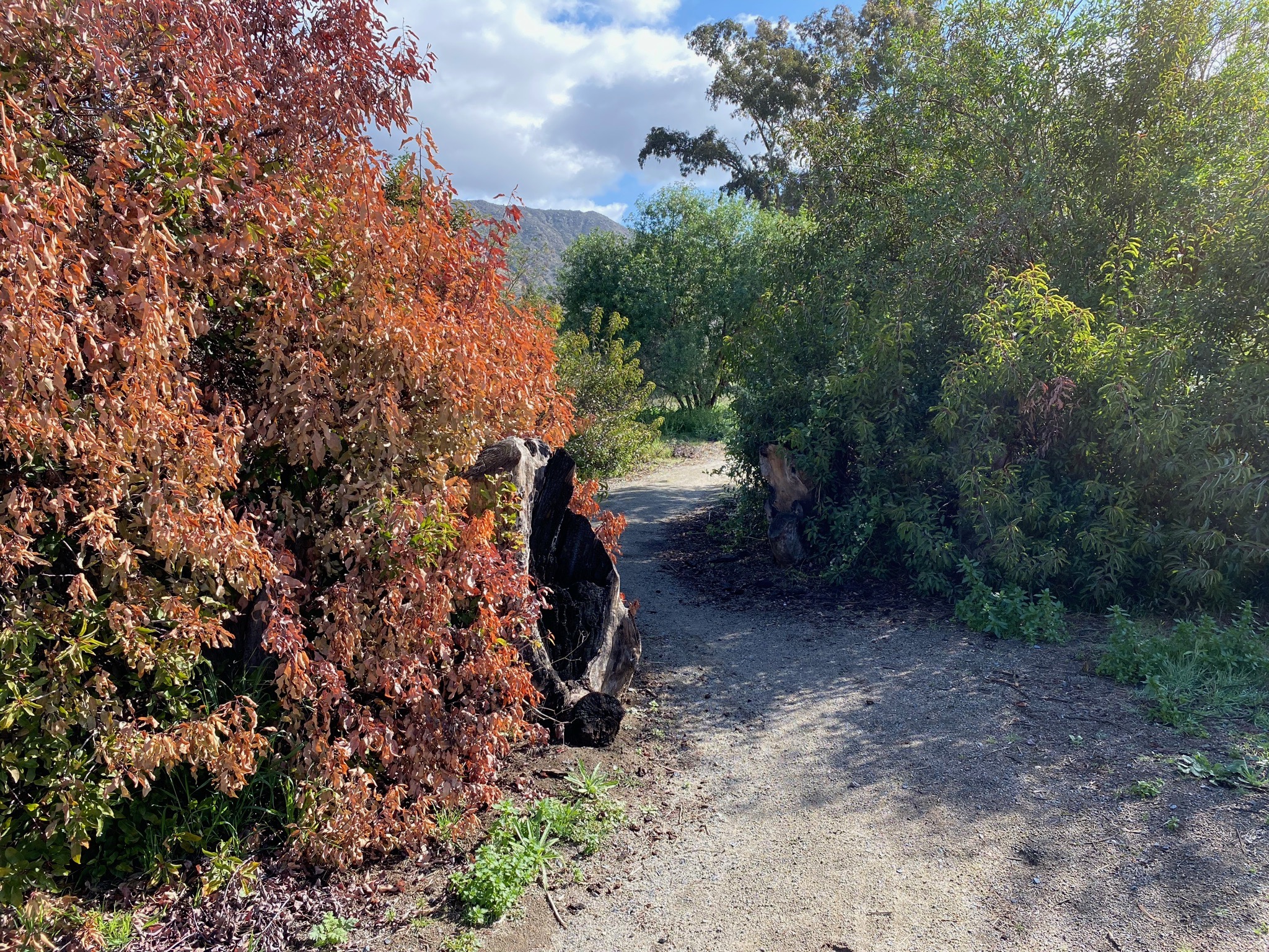
Fig. 21. Narrow and winding trail through an oak forest. |
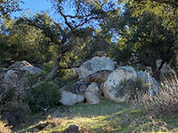
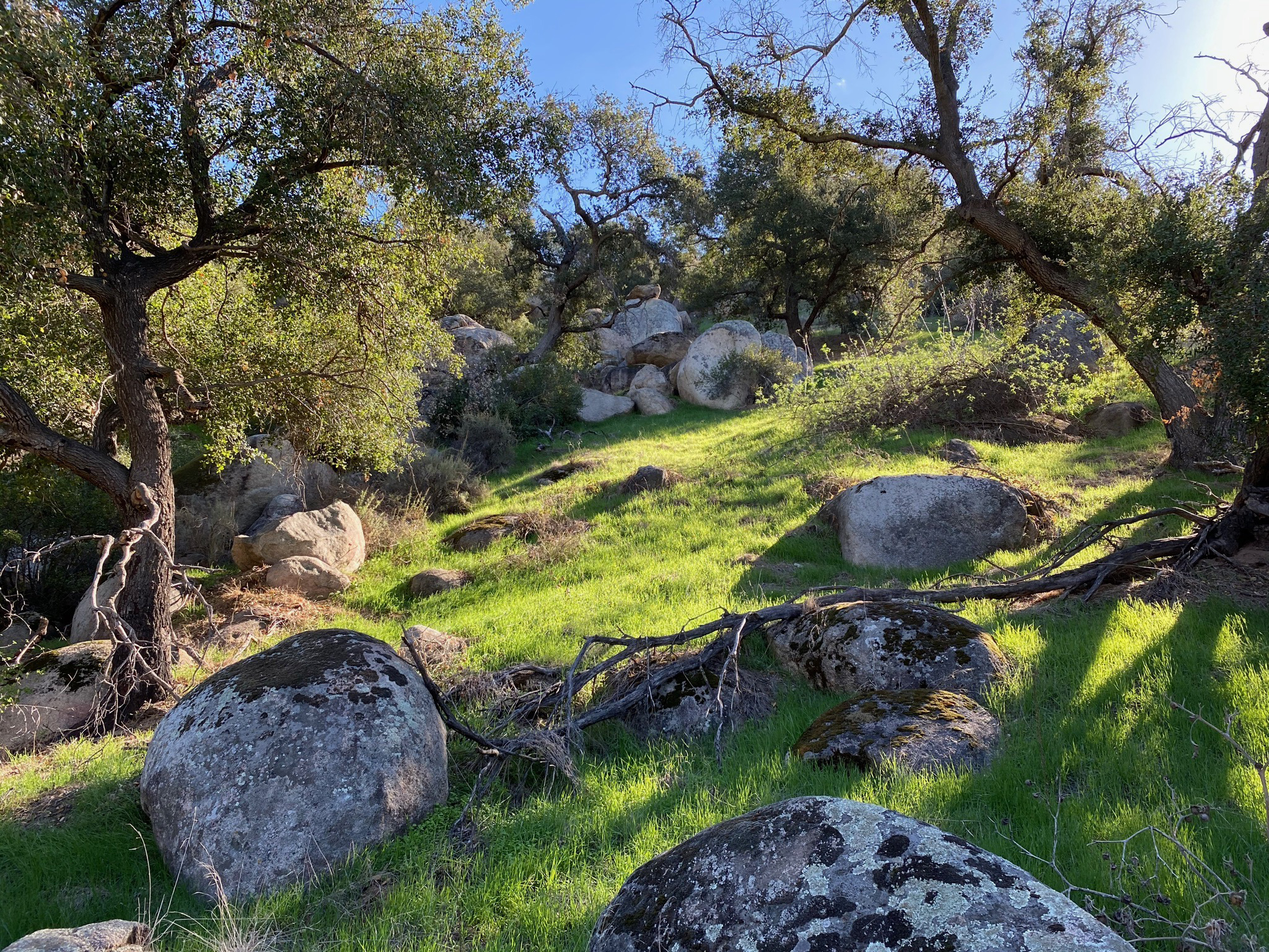
Fig. 22. Boulders and oaks along the trail. |
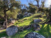
Fig. 23. Grass, boulders, and oaks along the trail. |
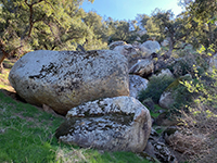
Fig. 24. Massive boulders along the trail. |
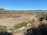
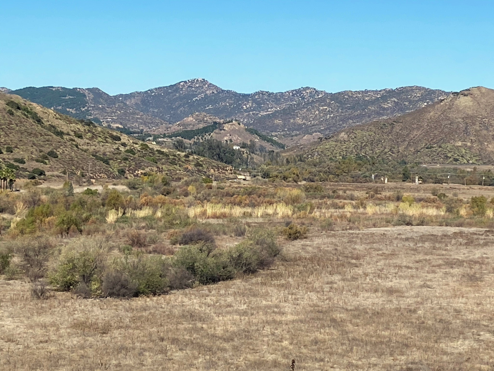
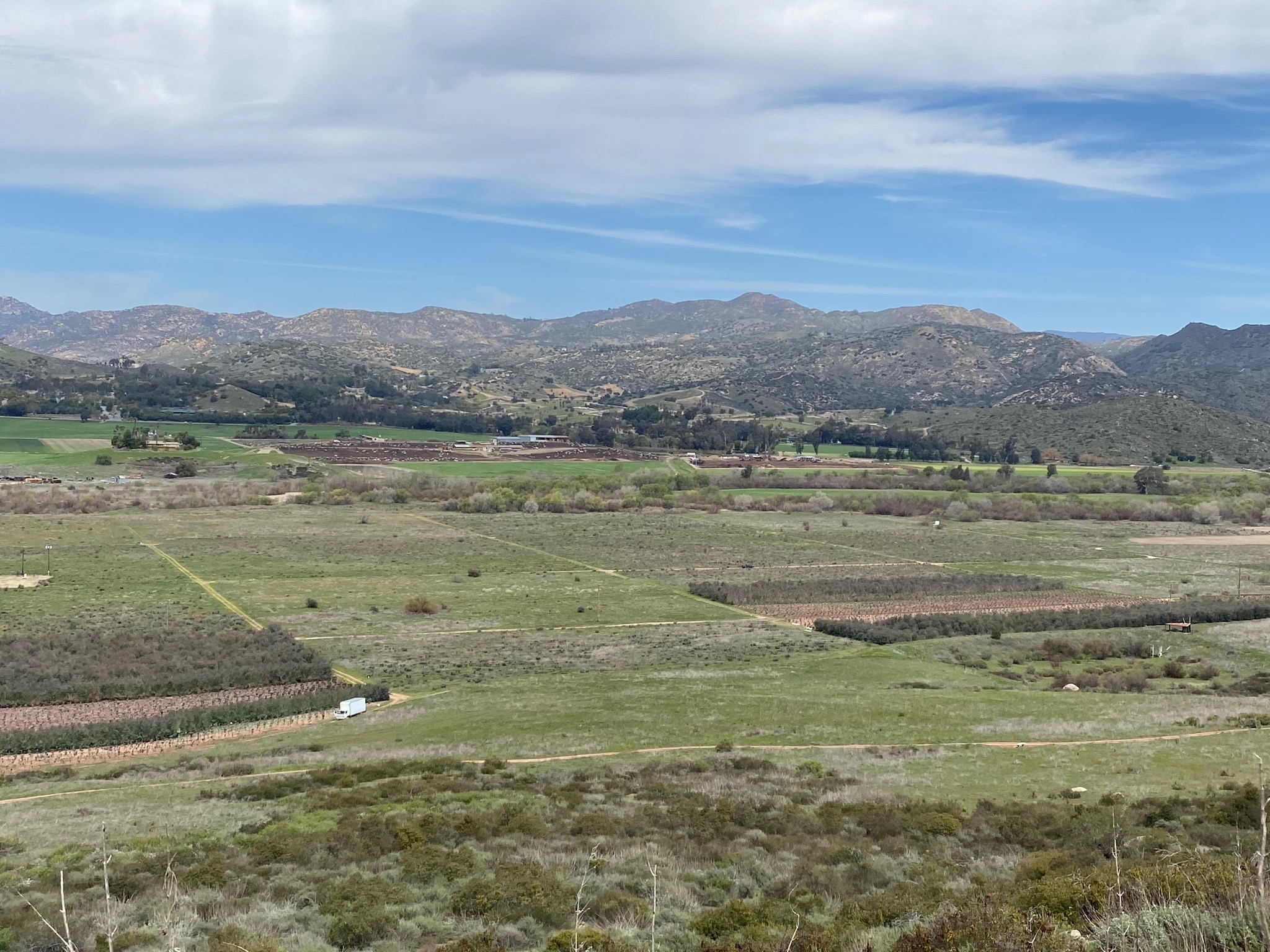
Fig. 25. View of the floodplain in Sn Pasqual Valley. |
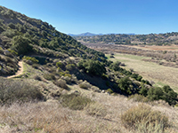
Fig. 26. View looking west back along the trail. |
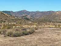
Fig. 27. View looking north across San Pasqual Valley. |

Fig. 28.View looking west along San Pasqual Valley |

Fig. 29. View of oak forest along the Raptor Ridge Trail. |
|
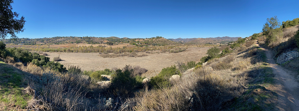
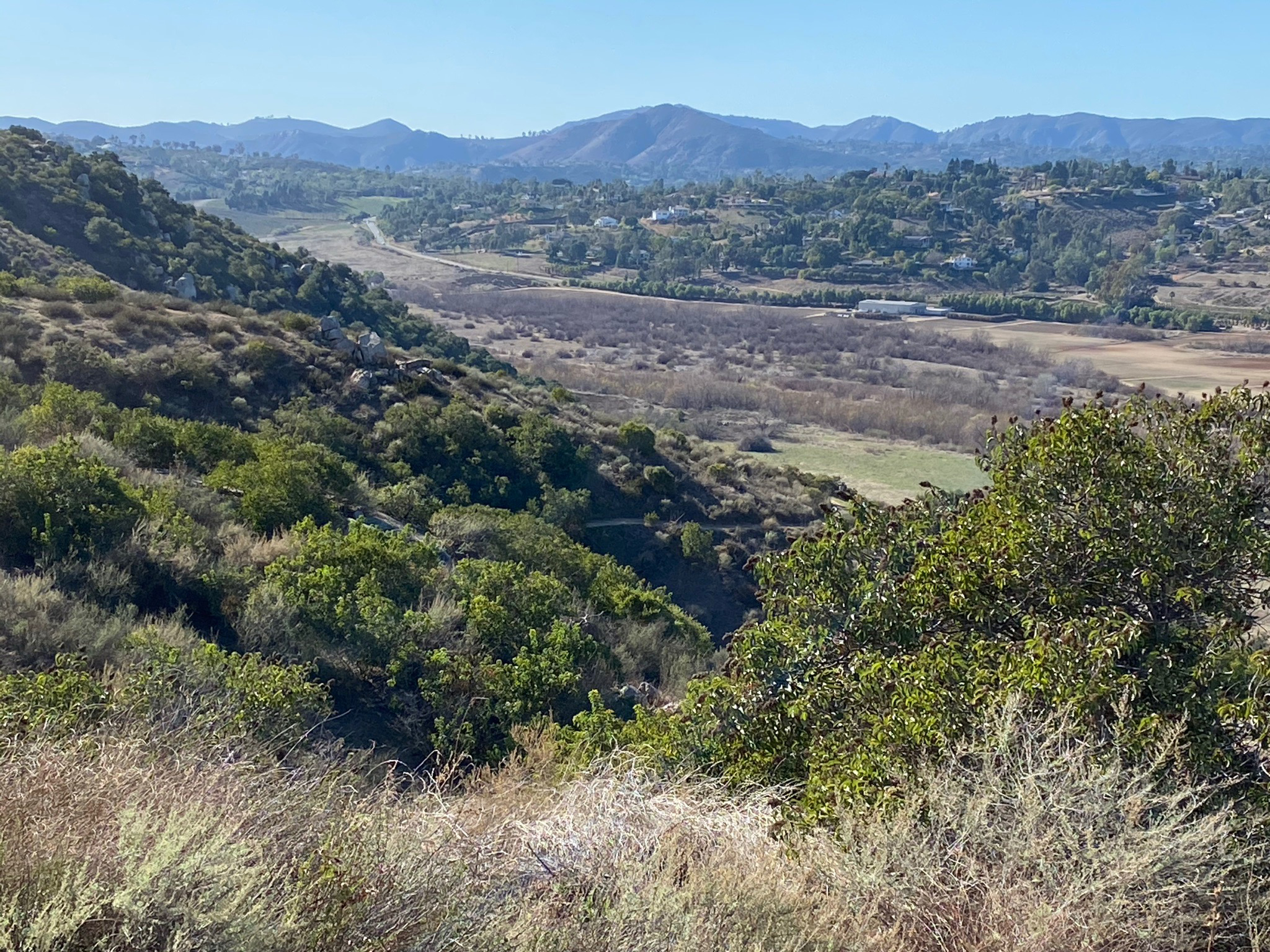
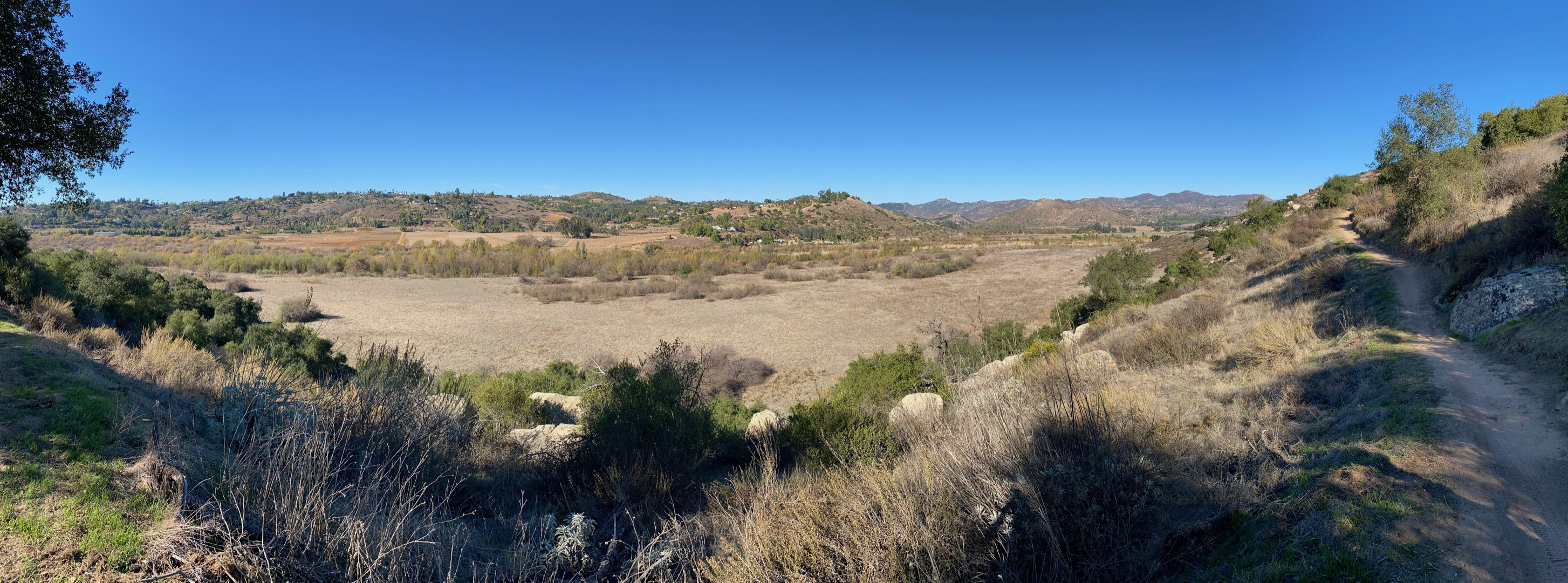
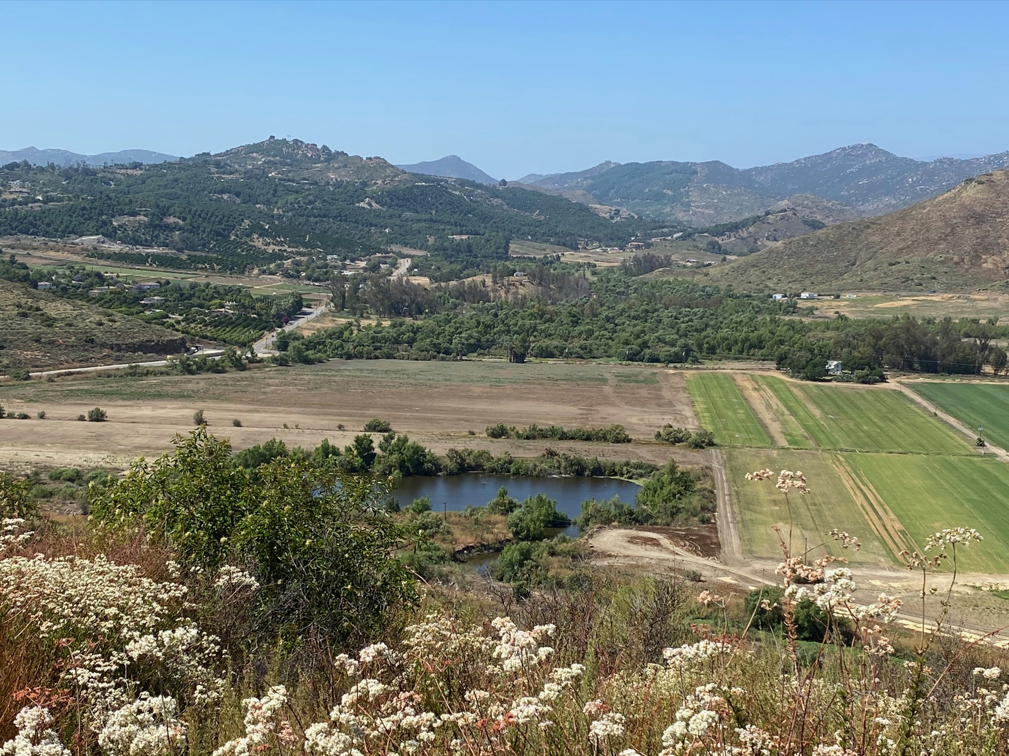
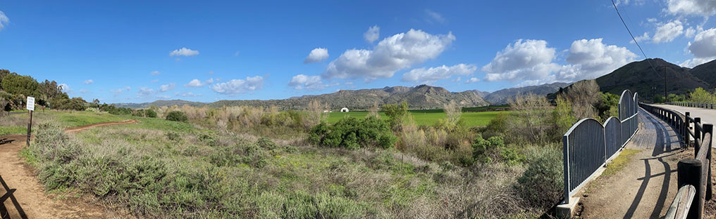
| Fig. 30. Panoramic view from along the Raptor Ridge Trail of the San Dieguito River floodplain open space in central San Pasqual Valley. |

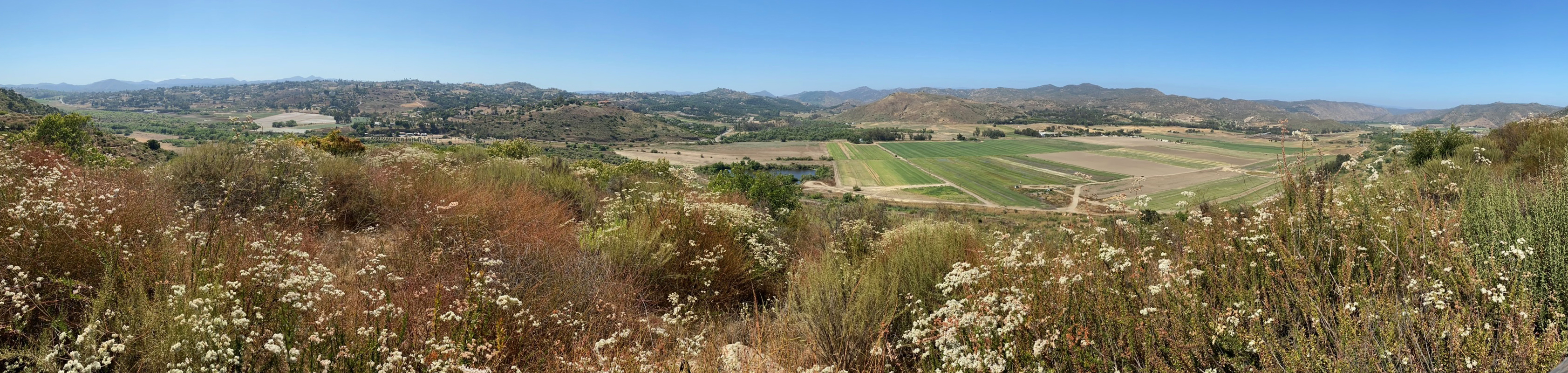
| Fig. 31. View of the SDRP Agricultural Preserve lands in eastern San Pasqual Valley as seen from the viewpoint area on the Raptor Ridge Trail. Buckwheat flowers are blooming in the foreground. |
A2
Raptor Ridge Trail Viewpoint Area To Ysabel Creek Road Staging Area
Raptor Ridge certainly deserves its name. Large birds-of-prey can almost always be seen circling on the rising winds on that blow along the mountainsides.
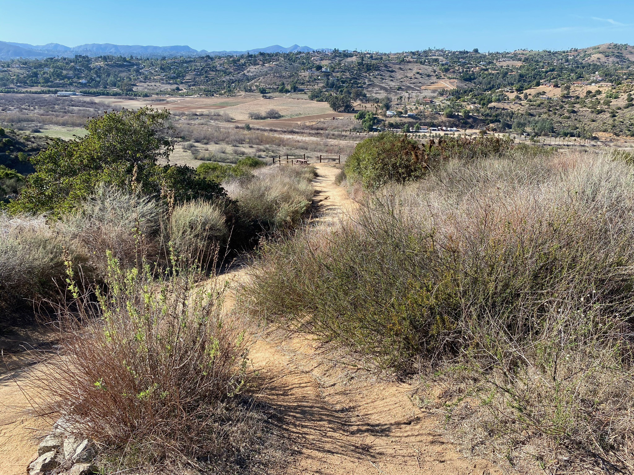
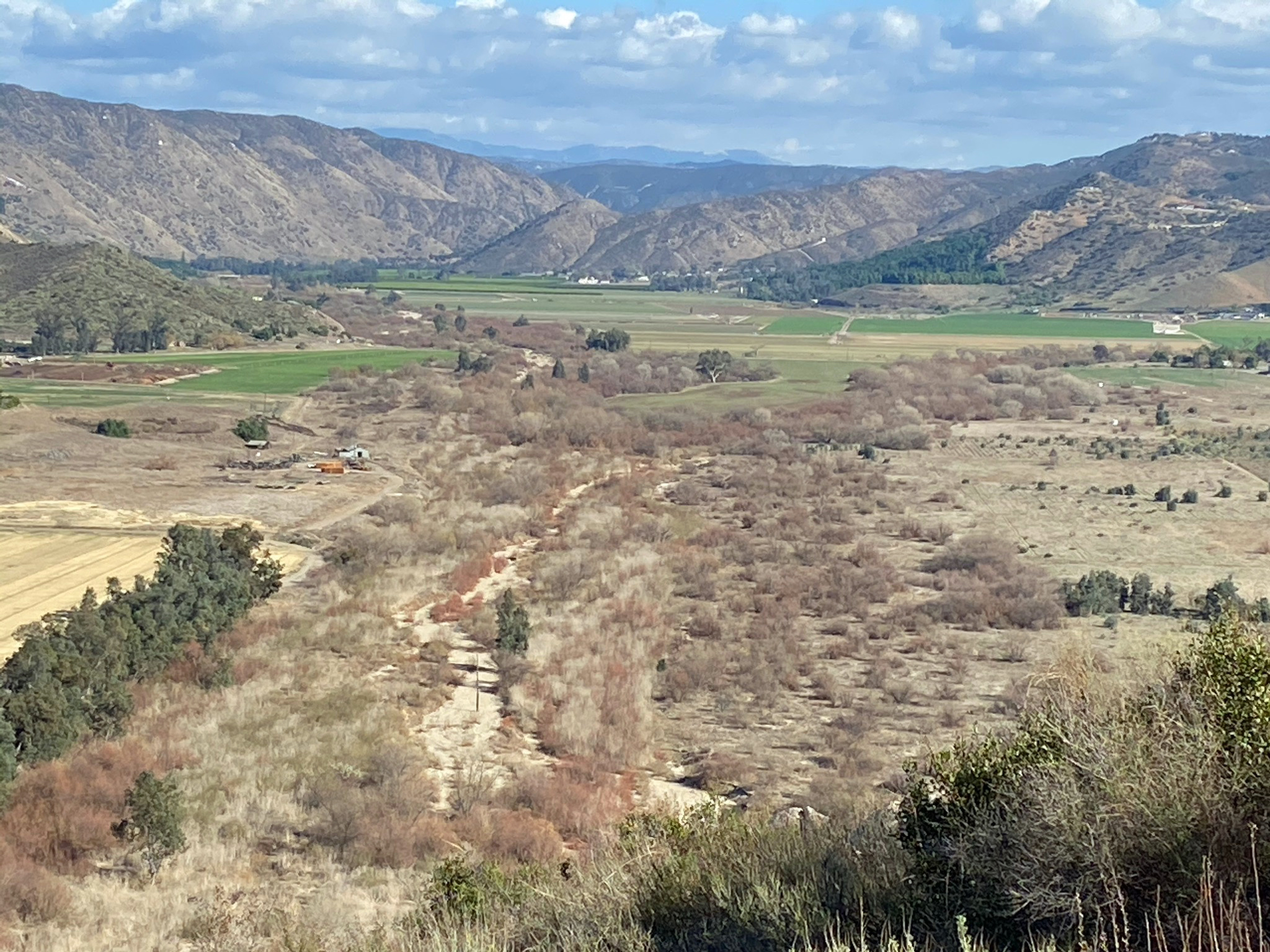
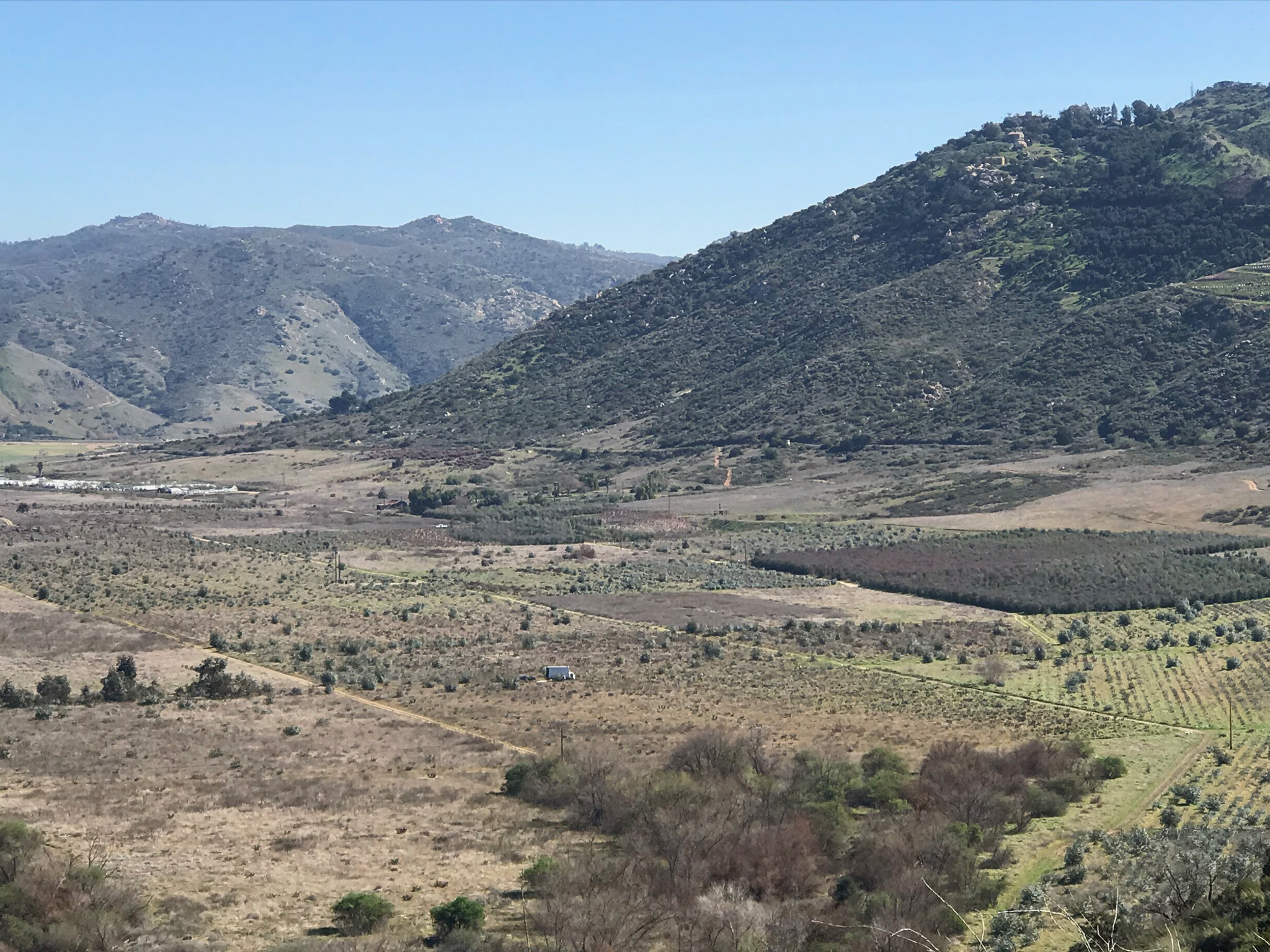
The viewpoint areas and the upland section of the trail provide spectacular view of the valley region and the wild lands preserved along the stream beds of Santa Ysabel Creek and Santa Maria Creek merge and become the San Dieguito River (Figures 36 and 37). The confluence of the two stream is just downstream of Ysabel Creek Road. East of the viewpoints the Raptor Ridge Trail descends eastward into the valley where it follows Bandy Canyon Road to the Ysabel Creek Road Staging Area. Figures 40 to 43 are views taken from a pull off along Bandy Canyon Road that show views of the Raptor Ridge Trail passing along the margin of fields in the SDRP Agricultural Preserve. |
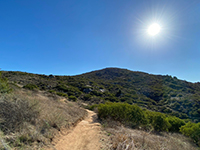
Fig. 32. Summit view of Raptor Ridge. |

Fig. 33. Trail view from 1st viewpoint area along the trail. |

Fig. 34. Valley view from 2nd viewpoint area along the trail. |
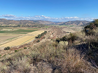
Fig. 35. View looking east from 2nd overlook area. |

Fig. 36. Santa Ysabel and Santa Maria Creeks merge. |

Fig. 37. San Dieguito River below the confluence. |
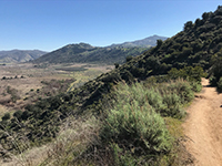
Fig. 38. View looking east from trail near overlooks. |

Fig. 39. Zoom view east toward Bandy Canyon. |
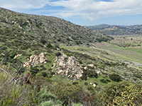
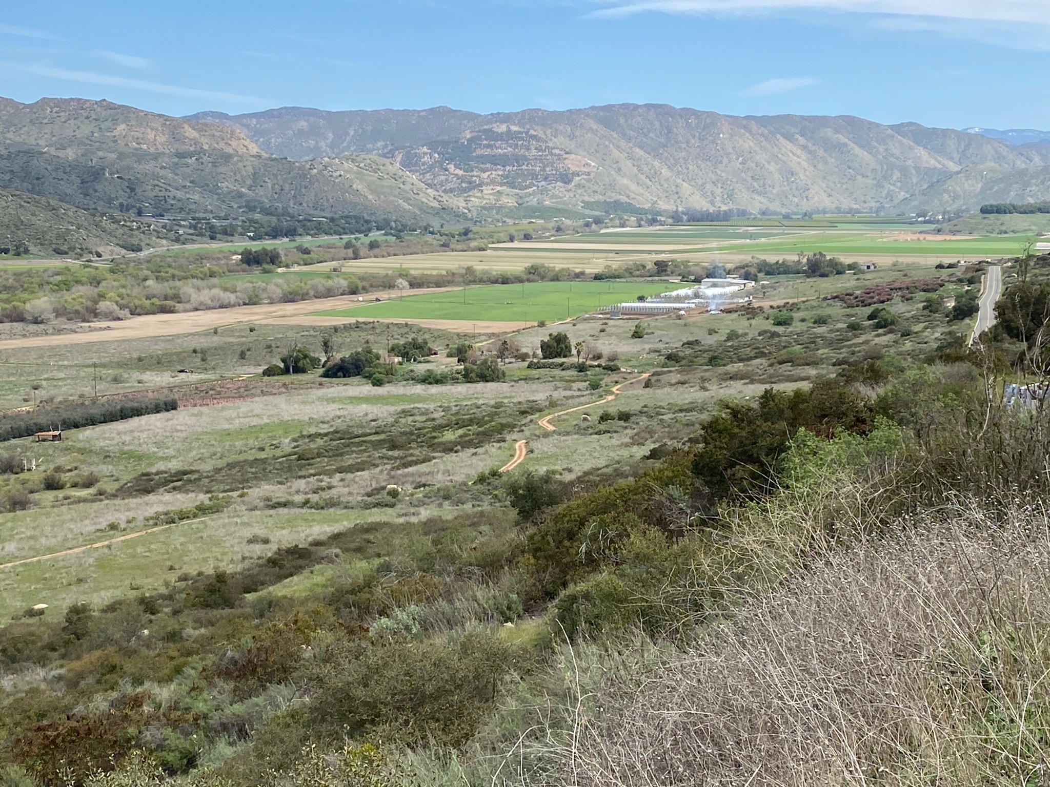
Fig. 40. View of Raptor Ridge Trail from Bandy Canyon Rd. |

Fig. 41. Agricultural fields beyond the Raptor Ridge Trail. |
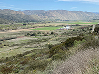
Fig. 42. East valley view Raptor Ridge Trail. |

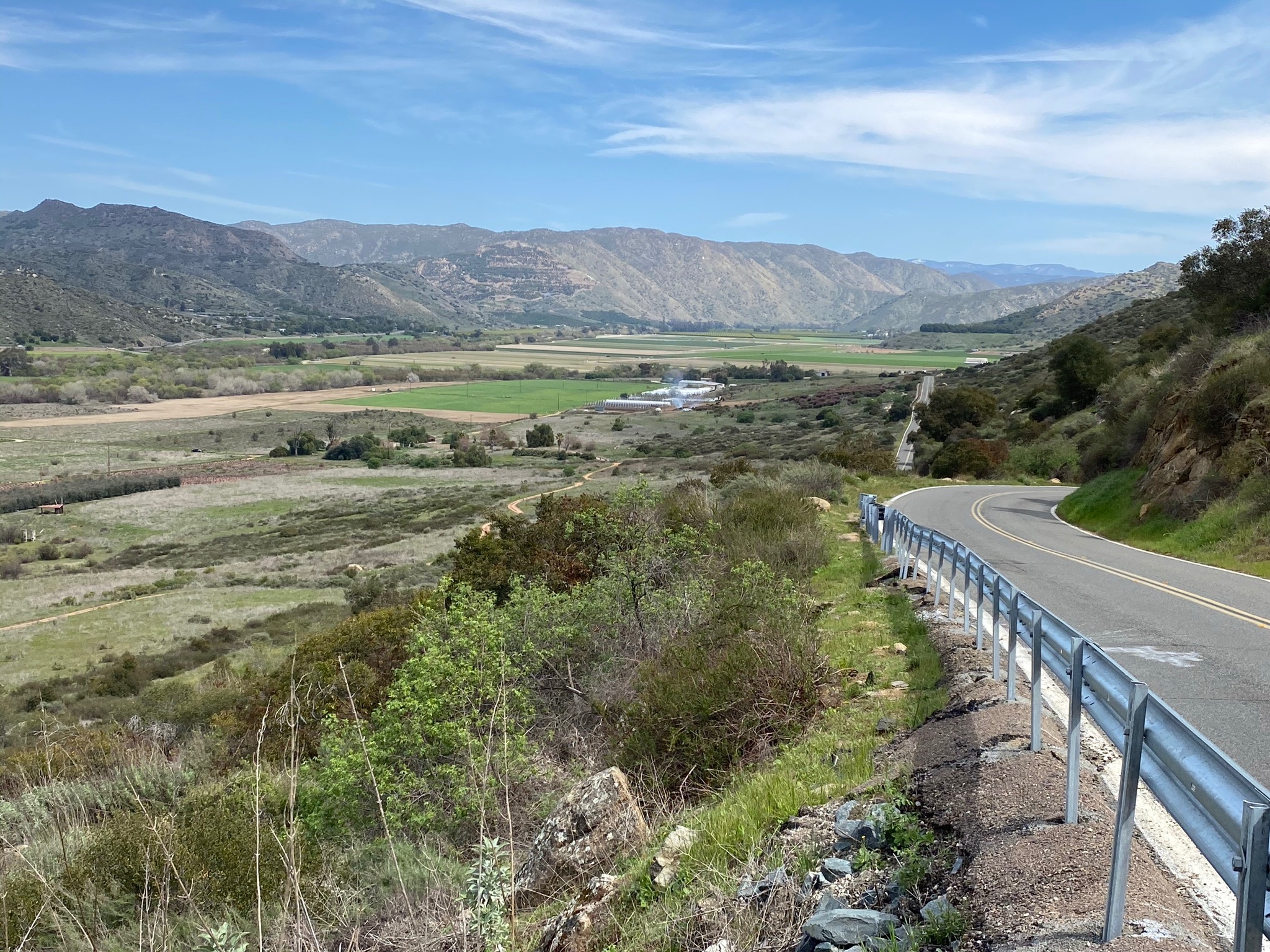
Fig. 43. View to east along Bandy Canyon Road. |
|
A3
San Pasqual Valley Trail
An interesting sign along the road pretty much describes the experience of hiking along the San Pasqual Valley Trail,
a 2.75 mile section of trail between the Ysabel Creek Road Staging Area and the San Pasqual Valley Trail Staging Area at the east end of the valley. The quotes from the sign pretty much tells the story.
|
"Welcome to Farm County!"
"If you enjoy
the sounds of cows mooing and smell of cow manure, you'll be right at home here."
"Customary agricultural practices in farm operations may include, but not limited to, noise, odors, dust, light, insects, the operation of pumps and machinery, the storage and disposal of manure, bee pollination,ground and aerial application of fertilizers, and pest and weed control measures. These agricultural practice may occur at any time during the 24-hour day. Individual sensitivities to those practices can vary from person to person." |

Fig. 44. Sign describing "Welcome to Farm Country." |
| Yeah... pretty much "leave our rural valley alone." In any case, the activities listed above pretty much will describes what you may see, hear, and smell while hiking the San Pasqual Valley Trail. The sign doesn't include roosters crowing at 4:00 in the morning, but people hiking, biking, or horseback riding will be doing so when the public trails are open. Sections of the trail may be closed when chemicals are being sprayed. Also note that there isn't much shade along parts of the route. But you will get to enjoy the scenery of farm country. As part of the SDRP Agricultural Reserve, hopefully it will stay that way. |
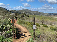
Fig. 45. Western end of the Raptor Ridge Trail section.
|

Fig. 46. Trail view looking east along the trail. |
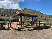
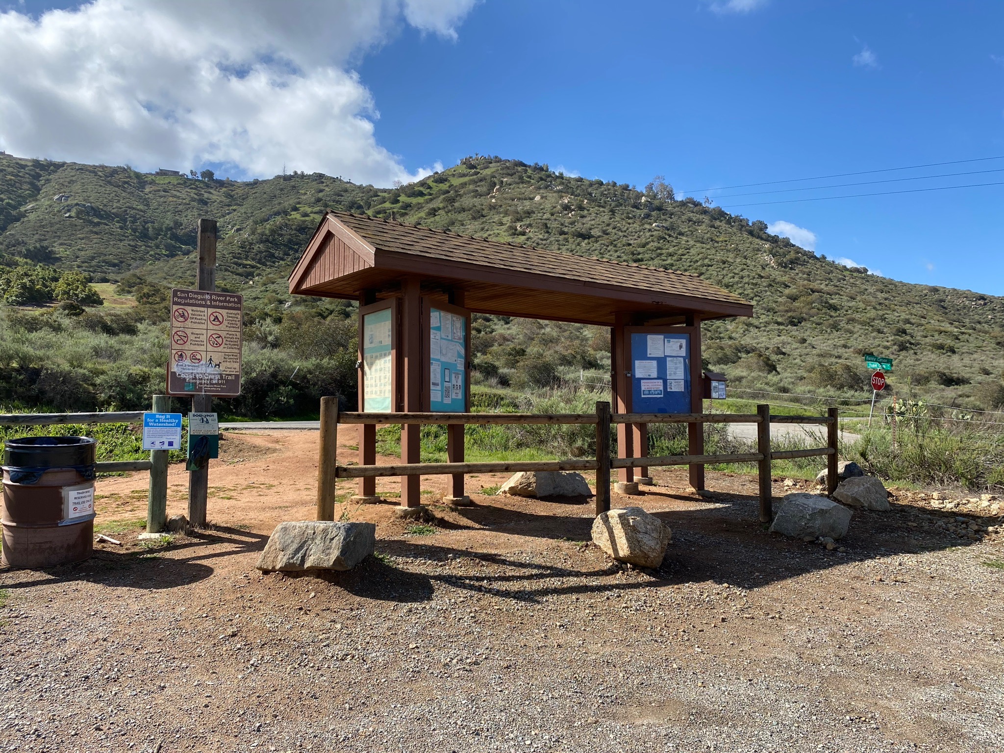
Fig. 47. Kiosk in the Ysabel Creek Road Staging Area. |

Fig. 48. Sign showing mileage along the Coast To Crest Trail. |

Fig. 49. View to the east along trail from the staging area. |
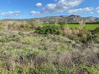
Fig. 50. Santa Maria Creek riparian habitat along trail. |
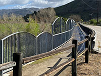
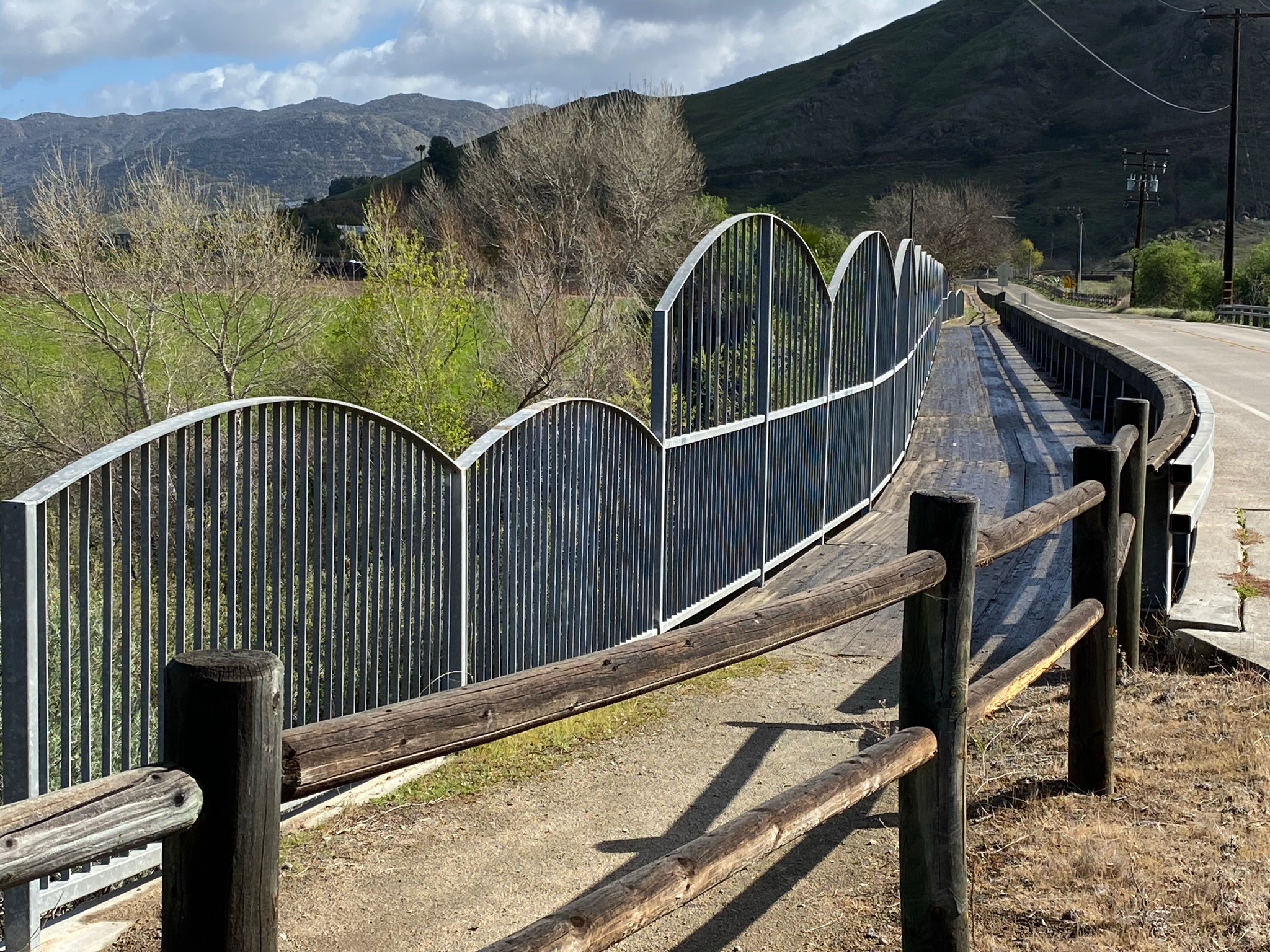
Fig. 51. Bridge over Santa Maria Creek at Bandy Canyon. |

Fig. 52. Sandy creek bed of Santa Maria Creek. |
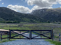
Fig. 53. View looking south at the mouth of Bandy Canyon. |

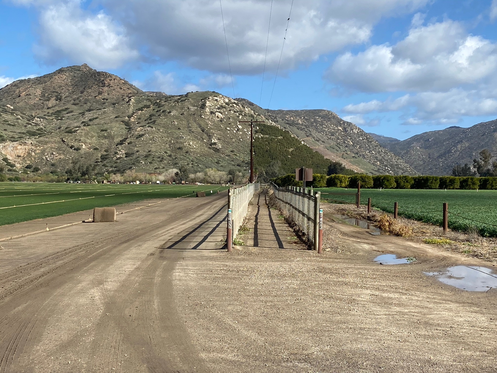
Fig. 54. Trail path between Bandy Canyon road and fields. |
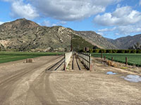
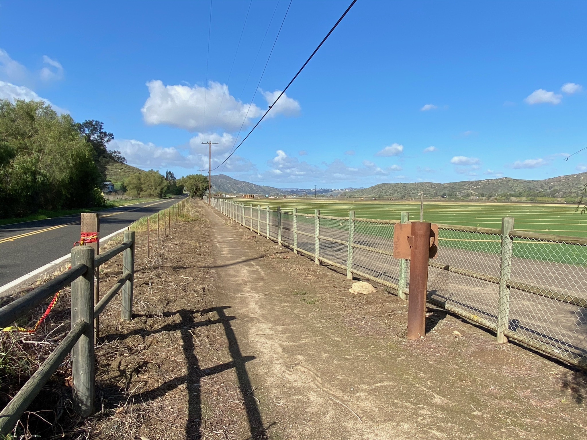
Fig. 55. Fenced path route between agricultural fields. |
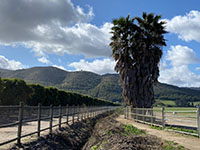
Fig. 56. Route passes between drainage ditch & orange grove. |
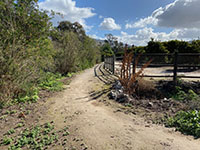
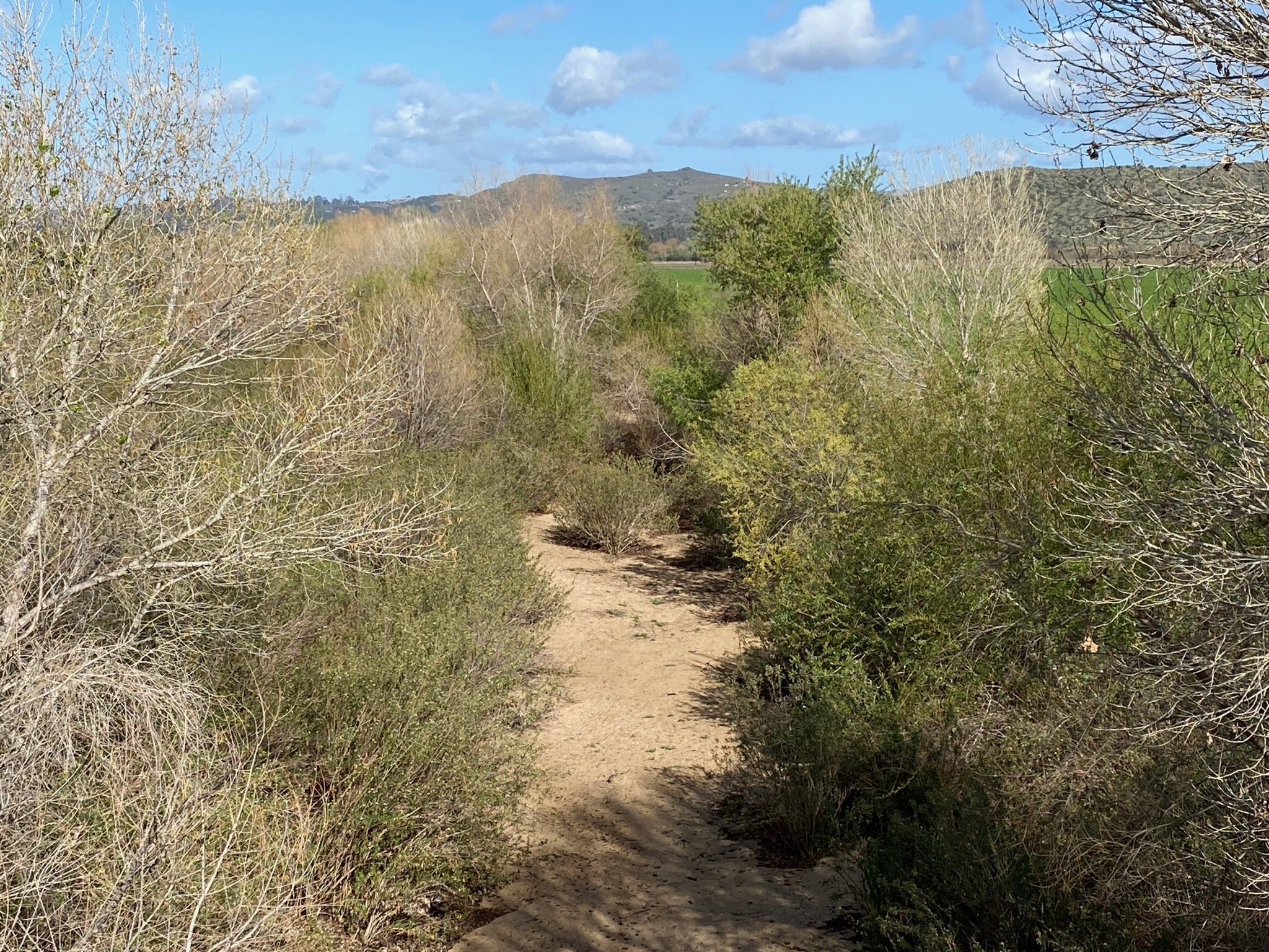
Fig. 57. Path between orange grove and Santa Ysabel Creek. |

Fig. 58. View of a white igneous dike on mountainside. |
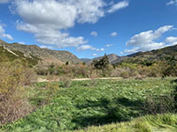
Fig. 55.View of Rockwood Canyon beyond Ysabel Creek. |
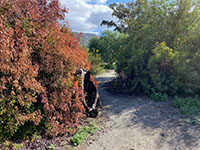
Fig. 59. Stumps of trees burned in 2007 wildfire. |
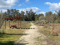
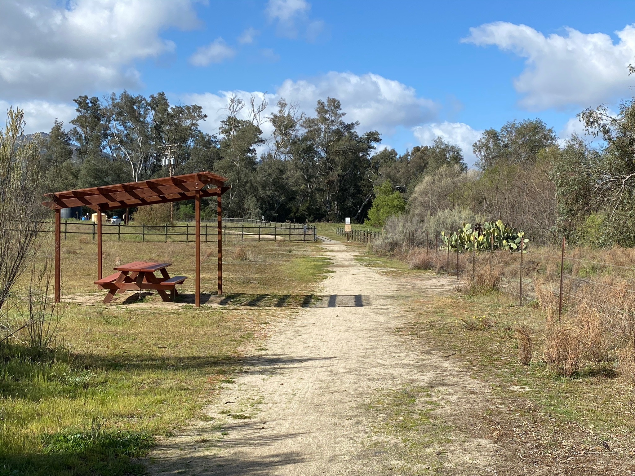
Fig. 60. Picnic table near the trailhead. |
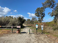
Fig. 61. Trailhead for the San Pasqual Valley Trail. |
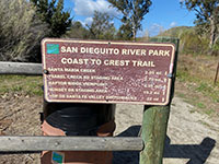
Fig. 62. Trail mileage sign at the trailhead. |
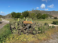
Fig. 63. Sign for San Pasqual Valley Trail Staging Area. |
|
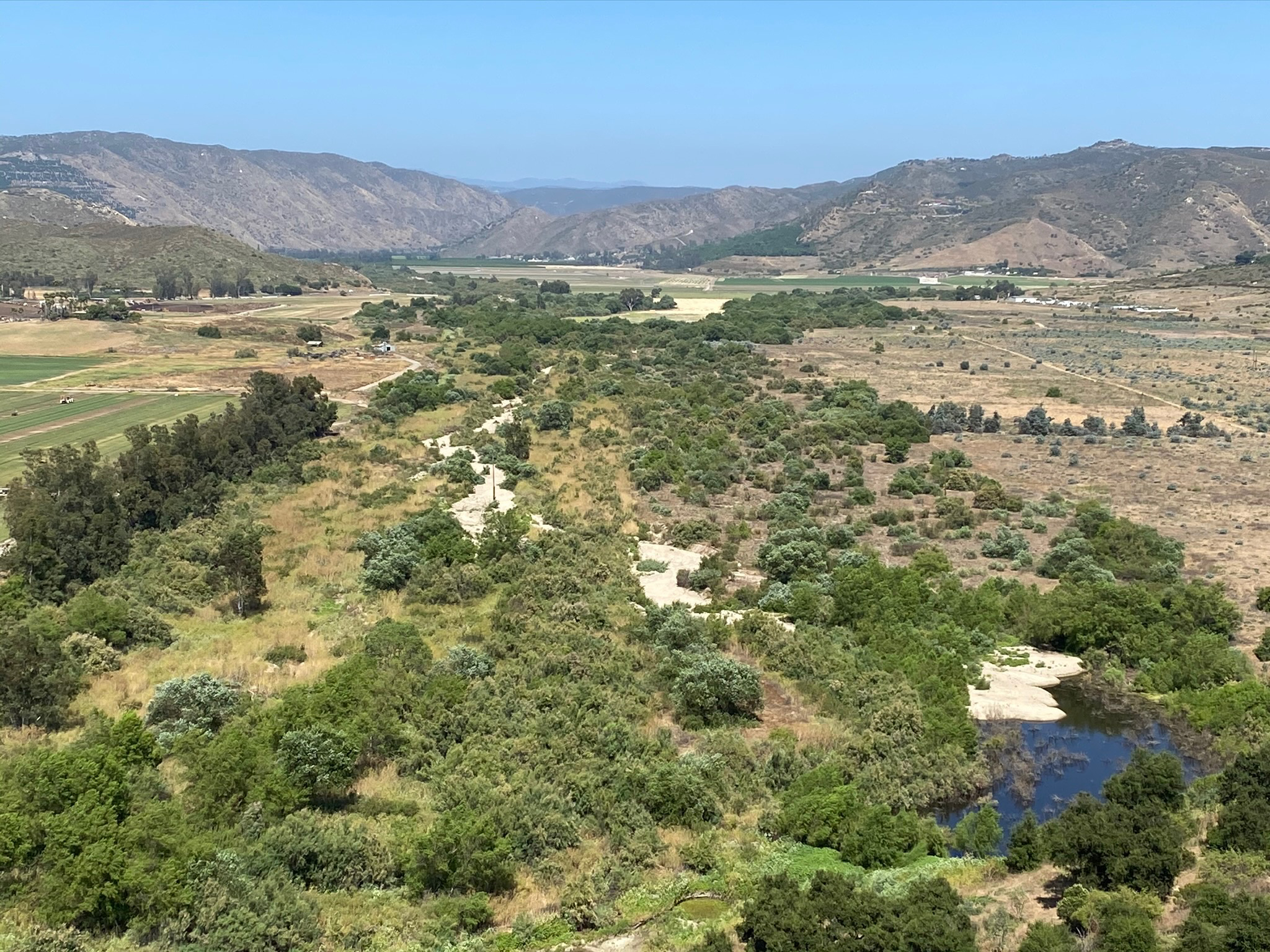
| Fig. 64. Panoramic view of the Santa Maria Creek riparian corridor and trail path west of the bridge at the mouth of Bandy Canyon on Bandy Canyon Road. |
A4
| https://gotbooks.miracosta.edu/fieldtrips/San Pasqual_Valley/Raptor_Ridge.html |
3/12/2021 |
|