Ramona Grasslands County Preserve |
|
The Ramona Grasslands County Preserve encompasses 3,521-acres located near the town of Ramona in central San Diego County (Figure 1). The landscape that includes the preserve is part of the broad Santa Maria Valley, a highland valley with low relief that stands out in topographic contrast to the surrounding mountainous uplands and mesas of the surrounding Peninsular Ranges.
Only the southwest section of the preserve is open to the public. That section has trails for hiking, cycling, and horseback riding (Figures 2 and 3). The area is very popular for bird watching and wildflowers in season.
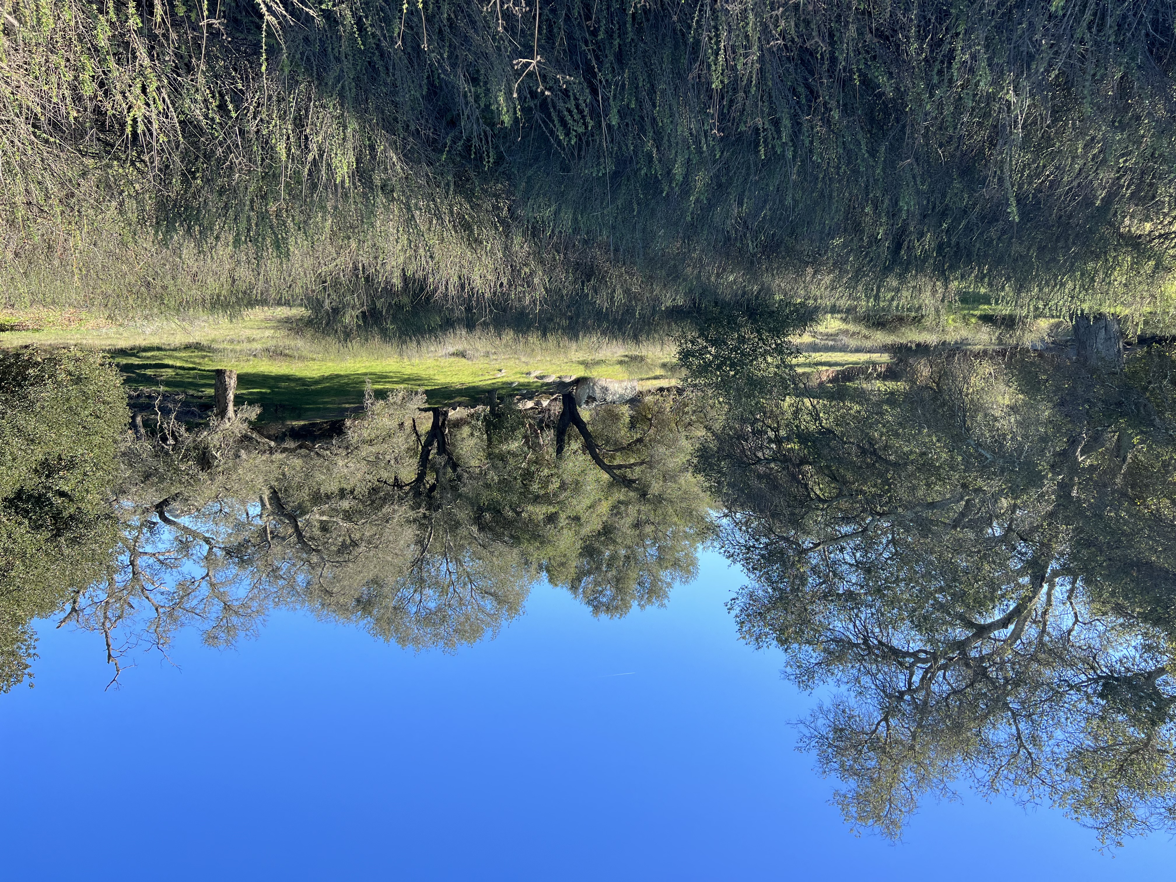
The preserve contains several miles of Santa Maria Creek and supports a mosaic of habitats including grasslands, coastal sage scrub, chaparral, oak woodlands, riparian woodlands, marsh/wetlands, and vernal pools. These habitats support with hundreds of unique plant and animal species (Figures 4 and 5).
Most of the of the preserve is inaccessible. It has been set aside is a conservation area for wildlife protection and requires a special permit is required for access. Limited cattle are permitted to graze in parts of the preserve.
Ramona Grasslands County Preserve (County of San Diego, Parks an Recreation website)
|
Click on images for a larger view. |
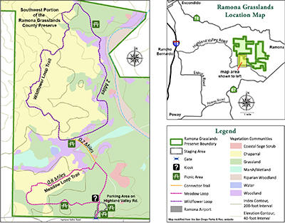
Fig. 1. Map of the hiking trails in the Ramona Grasslands County Preserve (in an area open to the public).
|
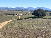
Fig. 2. View of the Ramona Grasslands in the vicinity of the parking area on Highland Valley Road. |
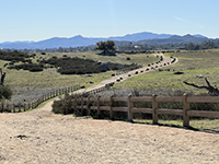
Fig. 3. View along the well-maintained Meadow Loop Trail in the Ramona Grasslands Preserve. |
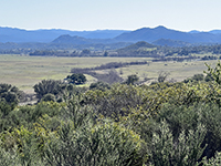
Fig. 4. Riparian woodlands follow Santa Maria Creek where it drains across the Ramona Grasslands Preserve. |
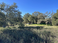
Fig. 5. Oak forest, coastal sage scrub and wetlands habitats in the Ramona Grasslands.
|
|
Bedrock Geology
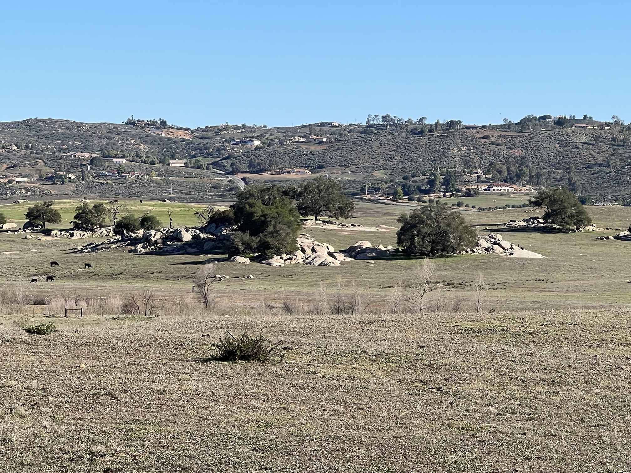
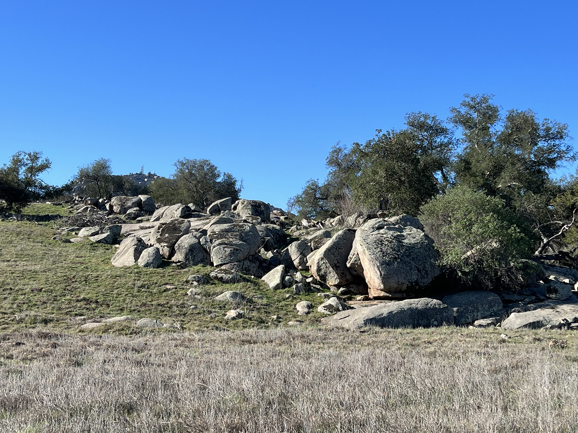
Scattered throughout the broad valley are small inselbergs and knockers (boulder piles and outcrops)
consisting of granite (Figures 6 to 9). These granite outcrops are evidence of the ancient Cordilleran volcanic mountain range that extended along the west coast (Alaska to Mexico) That was most active during part of Cretaceous Period, roughly 100 to 70 million years ago. The ancient volcanic mountains eroded away long ago as the landscape wore down to a broad coastal plain to a region of very low relief by middle Tertiary time about 40-30 million years ago. After that, changes in the plate tectonic setting of the region changes as "new" mountains and uplifted plateaus of the Peninsular Ranges began to rise. These mountains and plateaus are erosionally dissected crustal blocks that have been uplifted since the major fault systems in the region formed or became reactivated (including the San Andreas, Elsinore, and other regional fault). See Geology and Natural History of San Pasqual Valley for more information about the regional geologic history and formation of the highland valleys and plateaus. |

Fig. 6. Inselbergs (isolated granite outcrops) scattered across the grasslands. |
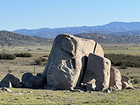
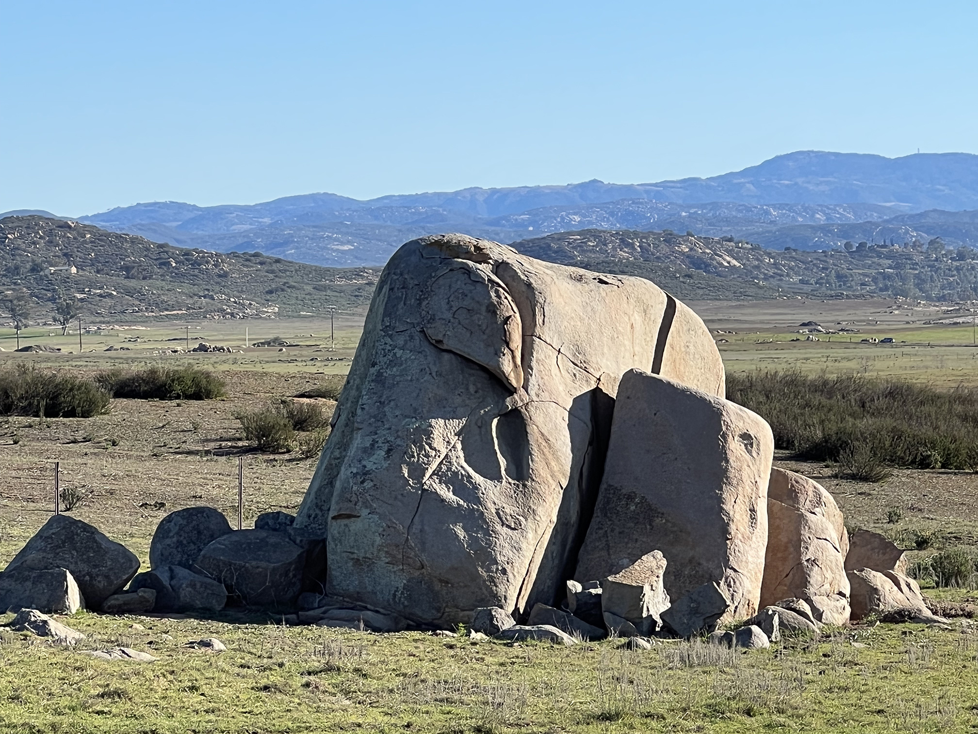
Fig. 7. Granite knocker in the Ramona Grasslands near the parking area. |
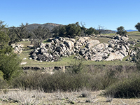
Fig. 8. Granite outcrop in the Ramona Grasslands.
|
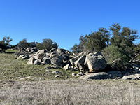
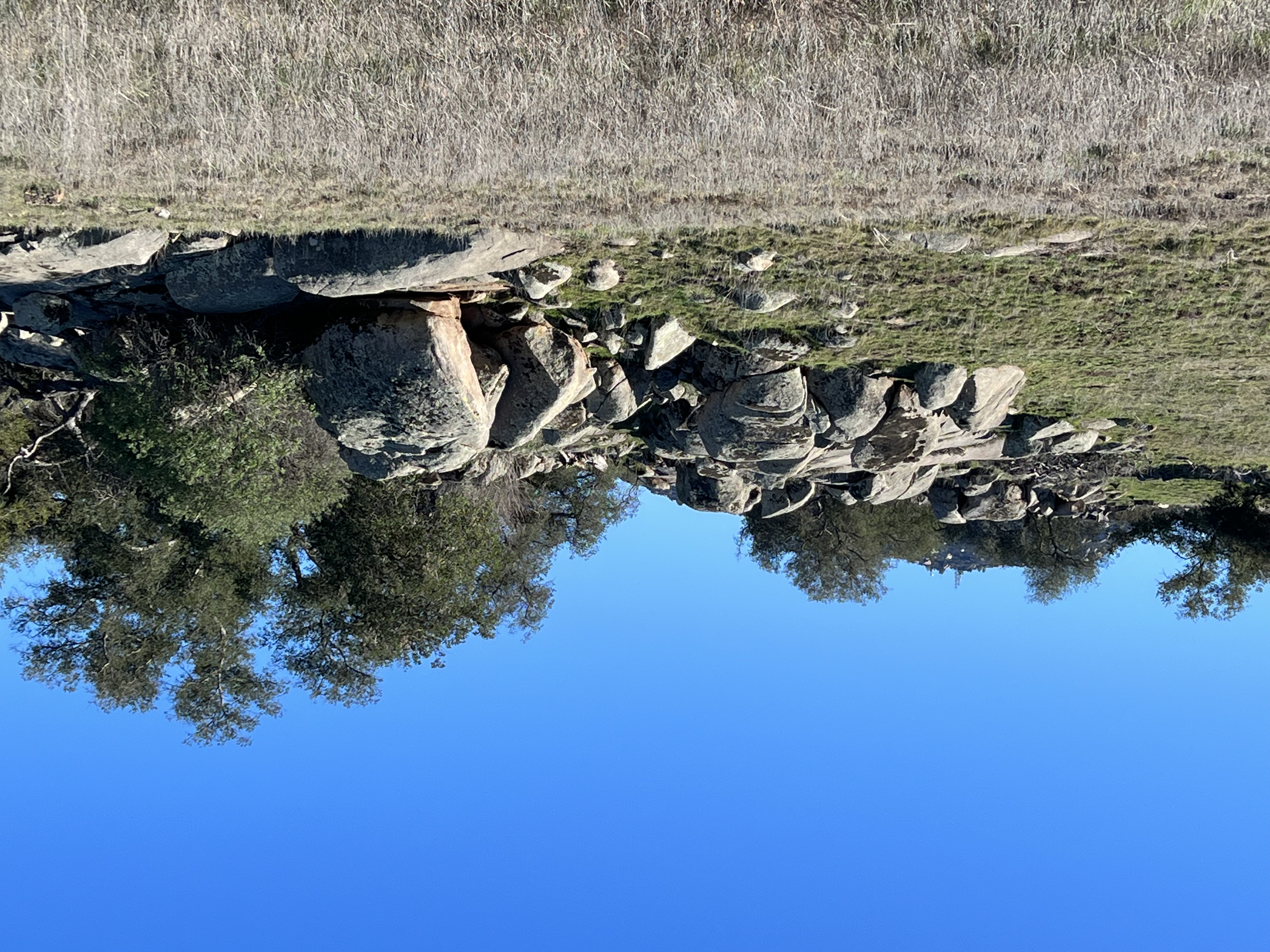
Fig. 9. Granite boulders and outcrops in the Ramona Grasslands. |
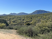
Fig. 10. Fault-bounded mountain front along Woodson Mountain, south of the preserve. |
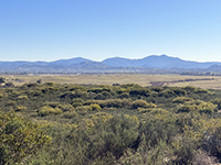
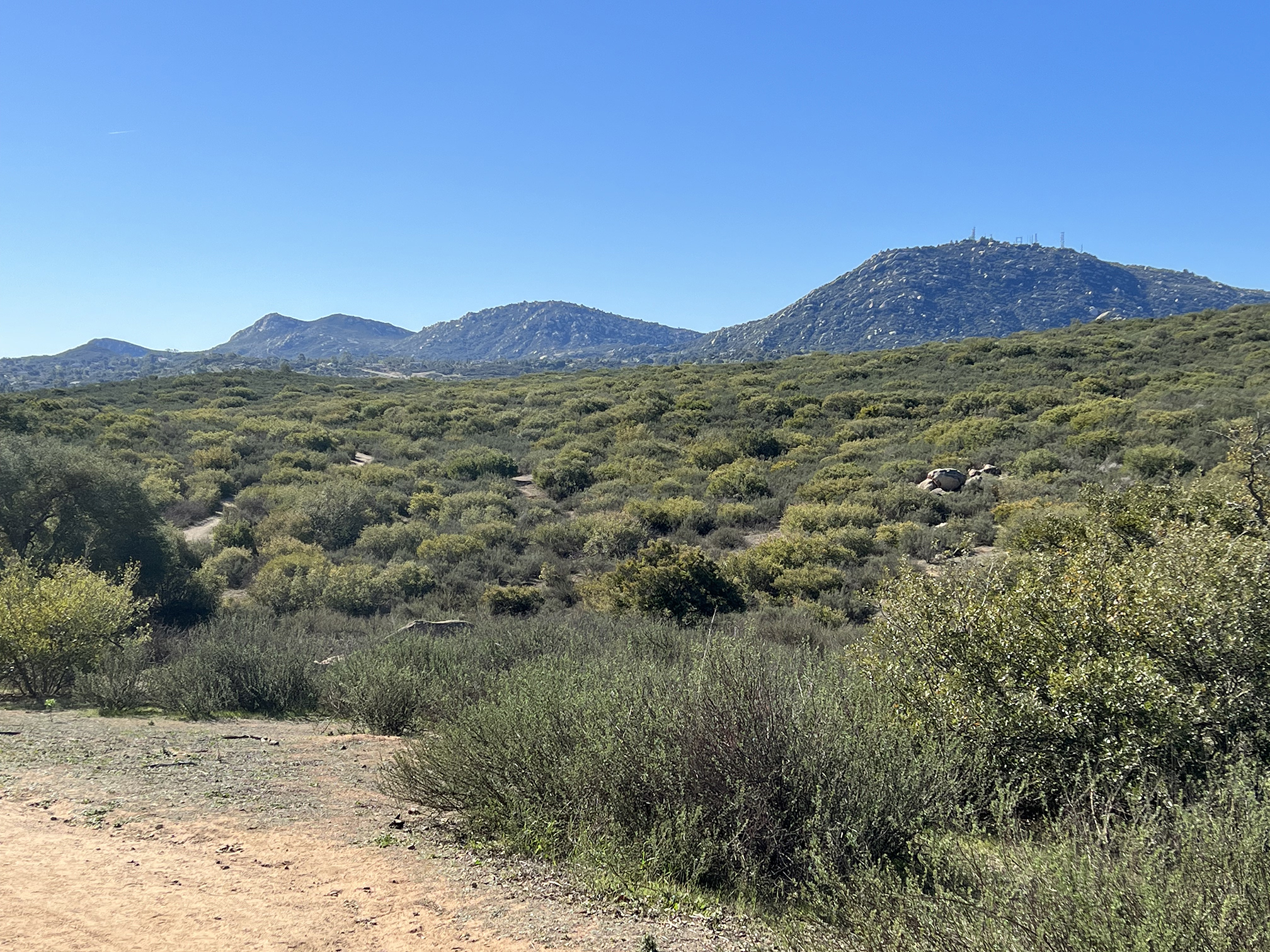
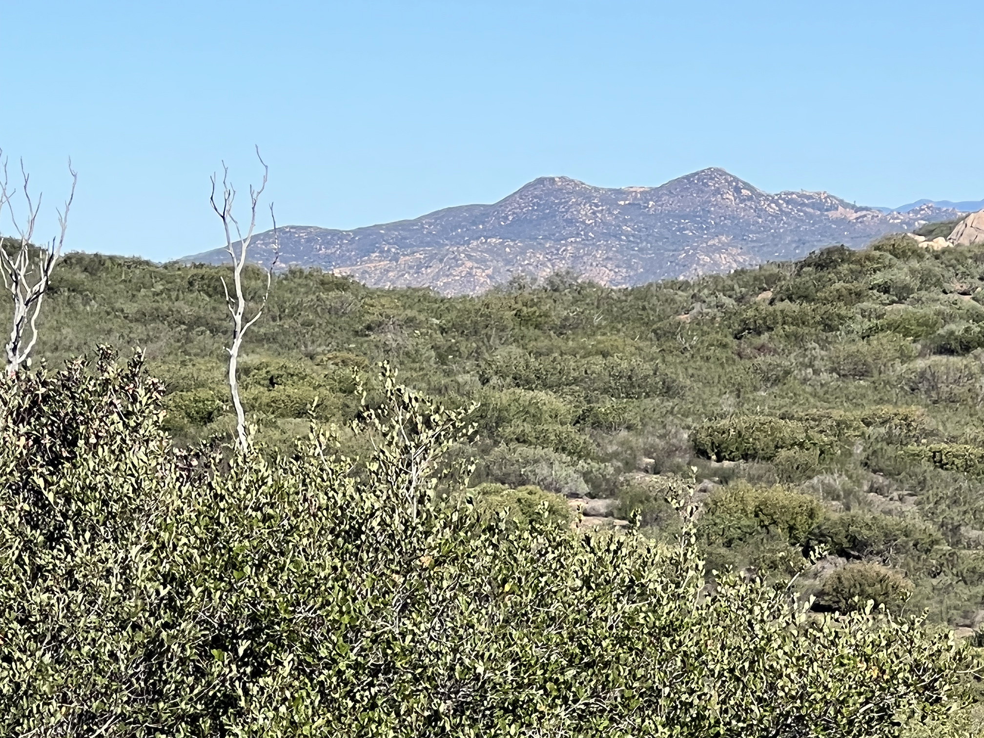
Fig. 11. High Peaks of the Cuyamaca Mountains in the Peninsular Ranges east of Ramona. |
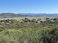
Fig. 12. Long ridgeline of Palomar Mountain with Mesa Grande northeast of the Ramona Grasslands. |

Fig. 13. Franks Peak (left) and Mt. Whitney (right) in the Double Peak area west of the Ramona near San Marcos. |
|
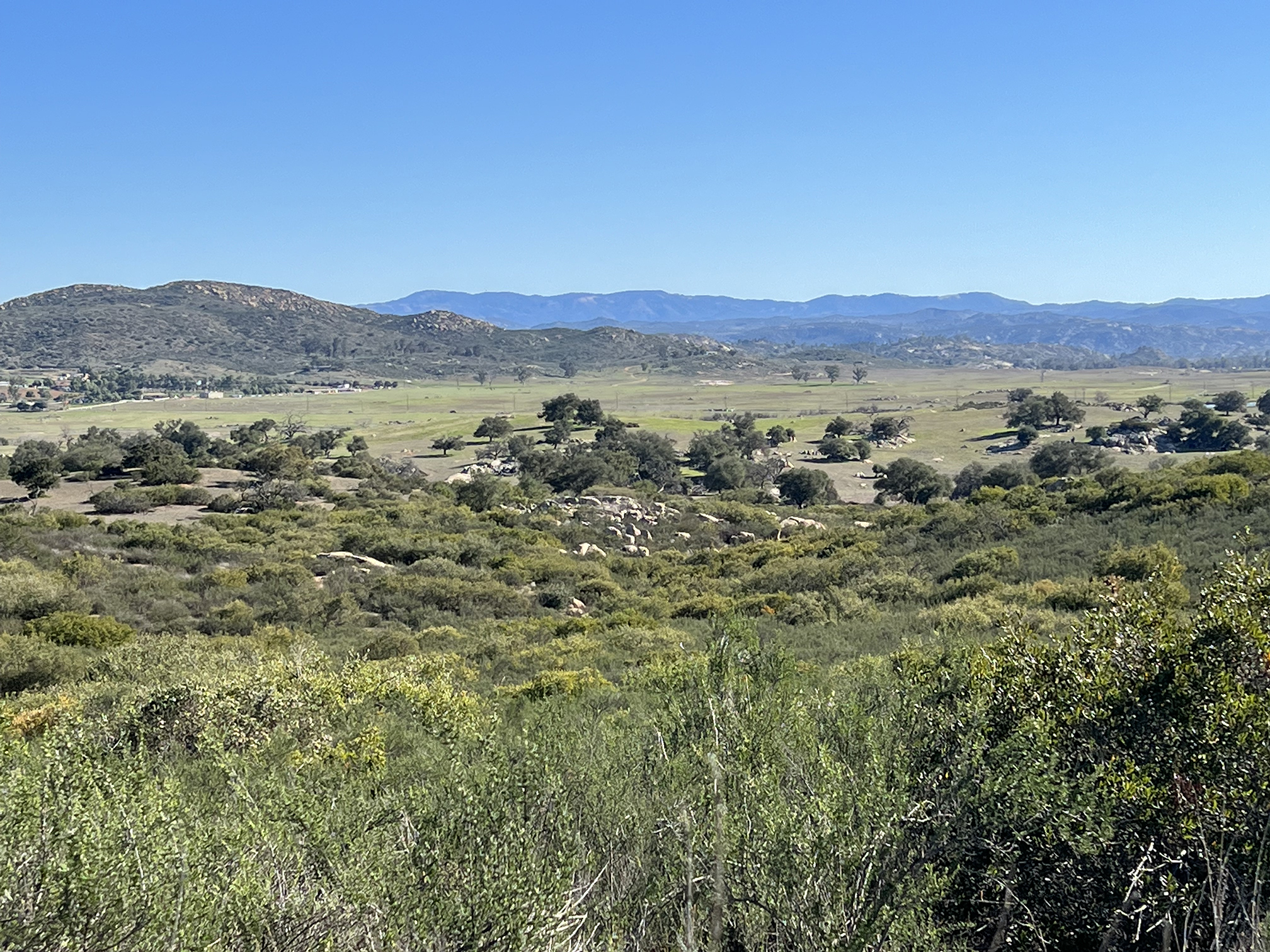
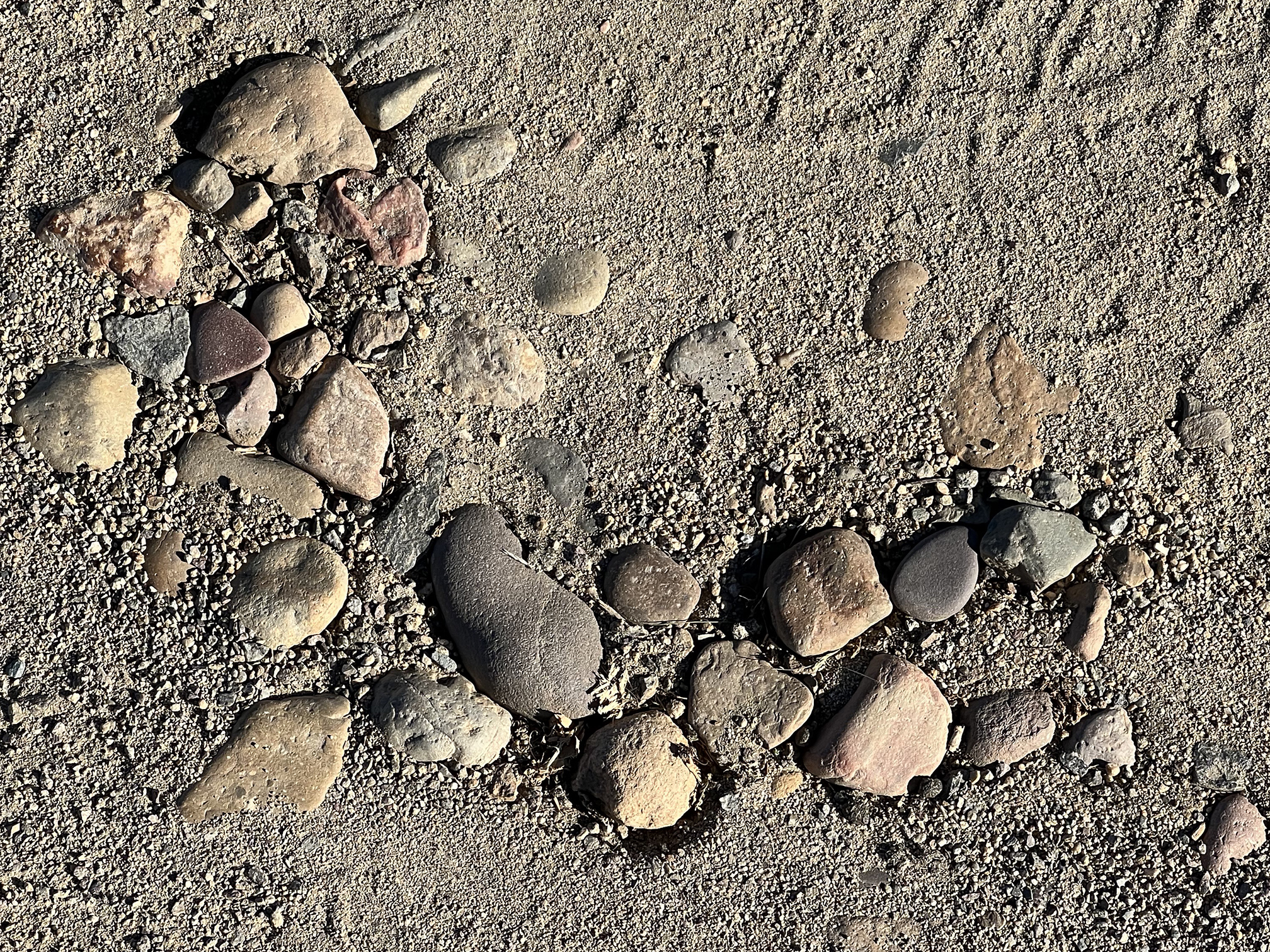
The Ramona Grasslands and Santa Maria valley are part of the "Area of High Plateaus" physiographic region of San Diego County. In middle Tertiary time, rivers drained from the volcanic highlands of what is now the Sonora region of northern Mexico. These rivers flowed westward into the Pacific Ocean until the San Andreas Fault system began to develop along with the opening of the Gulf of California. Traces of these ancient rivers are preserved as isolated pockets of ancient river gravels found on the ancient surfaces and stream terraces still preserved on of some of the plateaus. Rounded cobbles of porphyritic andesite and rhyolite can be found reworked into the local soil and alluvial deposits (Figure 14).
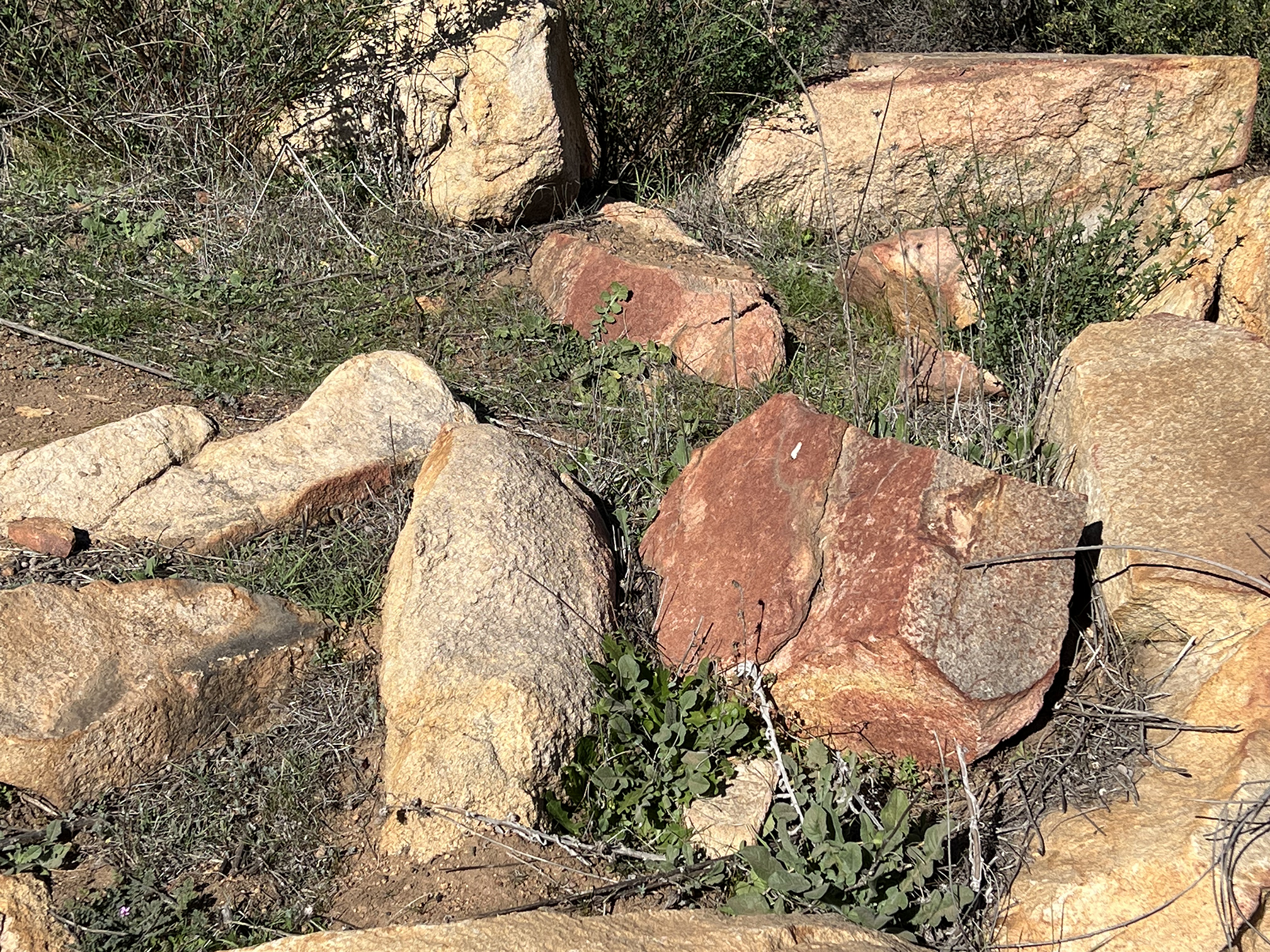
It is important to understand that wildfire is part of the natural erosion processes that the created the landscape. As plants grow that help break down the bedrock as roots penetrate fracture in the bedrock, and the decay of organic residues introduce acids to the groundwater that weathers rocks into sediment and soil. Every few decades, a wildfire would burn across the landscape. The locally intense heat scorches both rock and soil. Trapped moisture and in the rock expand and contributing to breaking of exposed surfaces. Figure 15 shows the bright red patina of red hematite on blocks of granite that have experience intense heat of past wildfire.
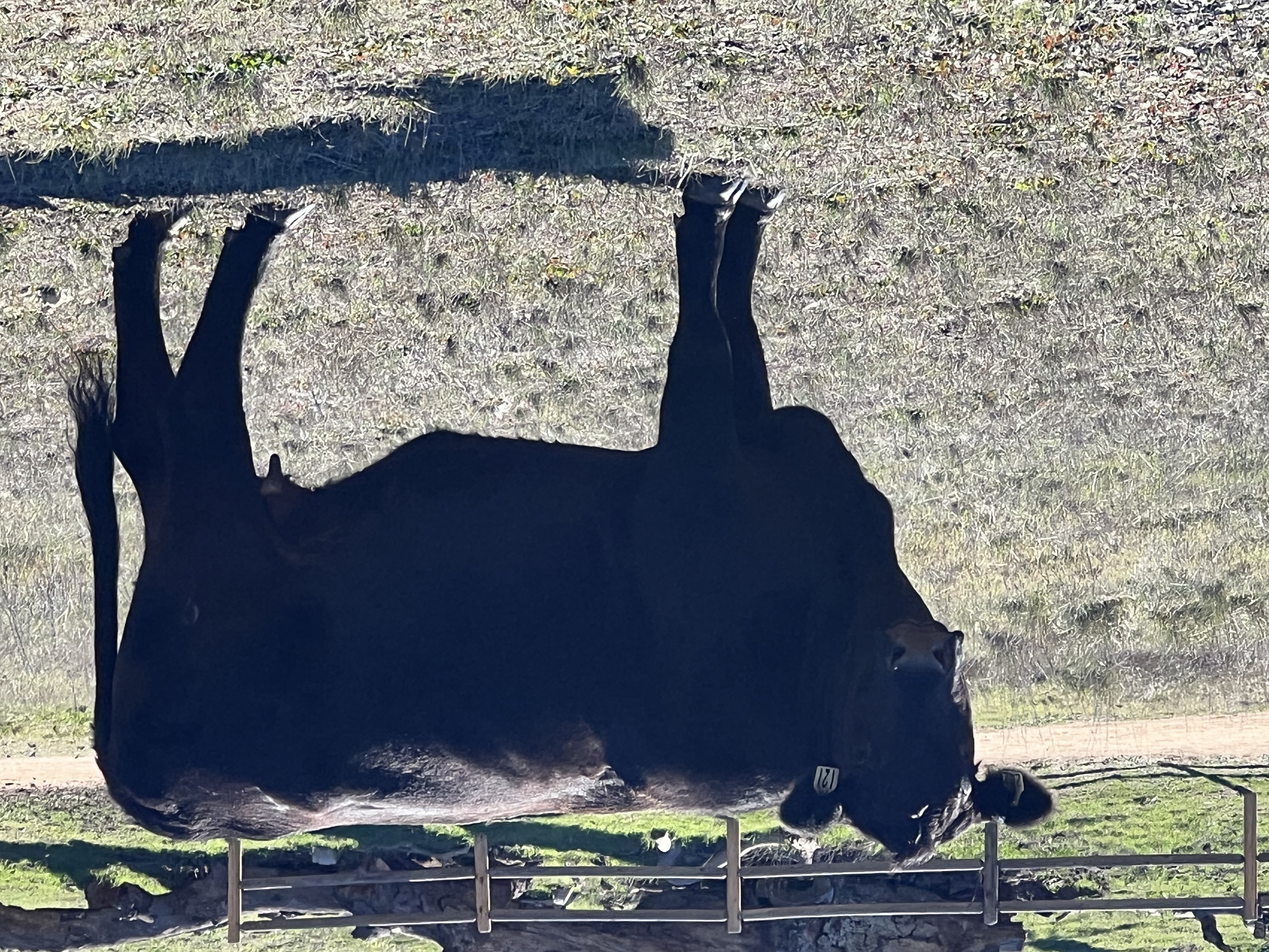
Other than a period of cattle ranching, the Ramona Grasslands are a remarkable well preserved landscape. Limited cattle access to parts of preserve continues to this day as part of the preserve's rangeland management. |

Fig. 14. Isolated pockets of ancient Sonoran river gravels. |

Fig. 15. Fire-scorched granite with a patina of red hematite. |
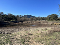
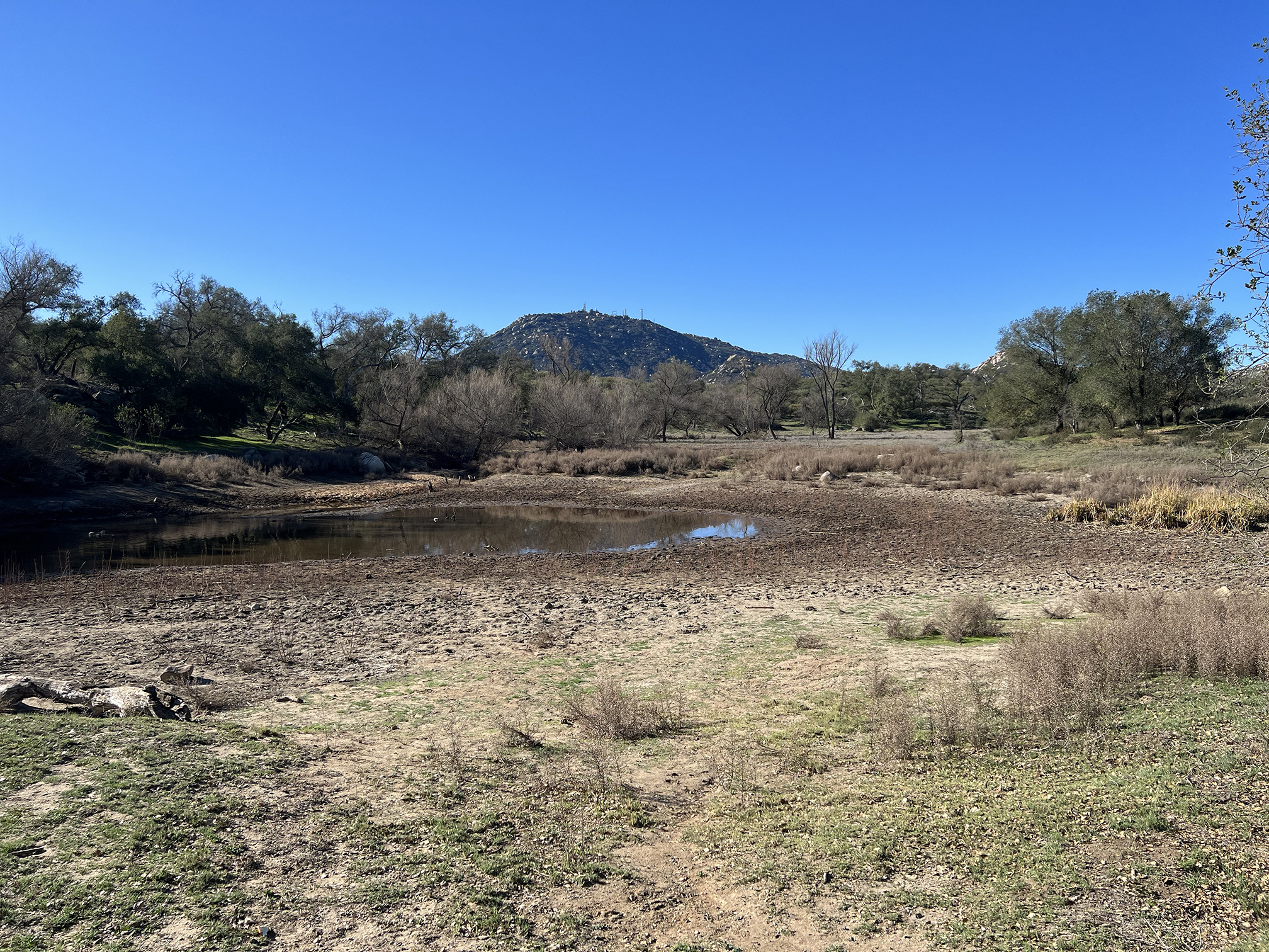
Fig. 16. Old stock pond in the Ramona Grasslands Preserve. |
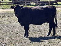
Fig. 17. Black Angus in the Ramona Grasslands Preserve. |
|
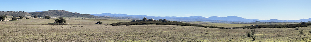
| Fig. 18. Panoramic view of the Ramona Grasslands County Preserve showing the high peaks and plateaus of the Peninsular Ranges in the distance. North is to the left; south is to the right; east is near the center of the image (Julian is in the distant skyline region near the center of the image, about 10 miles away). |
https://gotbooks.miracosta.edu/fieldtrips/Ramona_Grasslands/index.html
|
5/9/2022 |
|