
|
Click here to start
a tour of the Golden Gate National Recreation Area in California. Click on any of the images to continue to the next page in
the linked series of web pages. Or, see a thumbnail
gallery. |
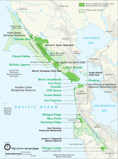 |
This website focuses on the Presidio and Marin Headlands portion of Golden Gate Recreation Area. See additional photography of outlying portions of park lands on websites for Point Reyes National Seashore and 3D Photography of the San Francisco Bay Region. This map is from from the Golden Gate National Recreaction Area website: http://www.nps.gov/goga. Learn more about the geologic resources of Golden Gate National Recreation Area at: http://www.nps.gov/goga/forteachers/geology-resources.htm. See selected references for Golden Gate National Recreation Area. Click here to see a geologic map of Golden Gate National Recreation Area. |
|---|
 |
 |
 |
||
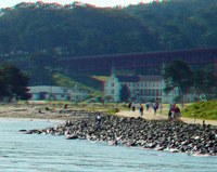
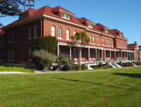
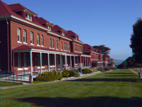
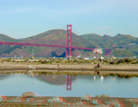
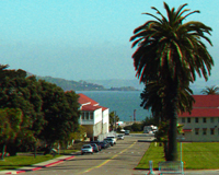
| Presidio | Presidio | Presidio | ||
 |
 |
 |
||
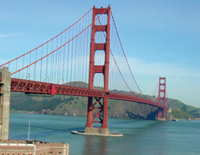
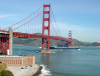
| Presidio | Presidio | Golden Gate Bridge | ||
 |
 |
 |
||
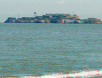
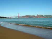
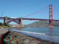
| Alcatraz | Golden Gate Bridge | Golden Gate Bridge | ||
 |
 |
 |
||
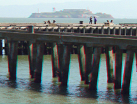
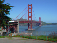
| Golden Gate Bridge | Pier at Presidio | Golden Gate Bridge | ||
 |
 |
 |
||
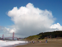
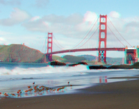
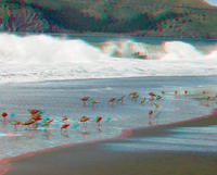
| Cloud over Golden Gate Bridge | Golden Gate Bridge | Birds on Baker Beach | ||
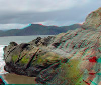 |
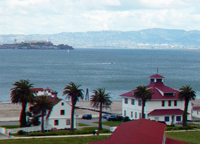 |
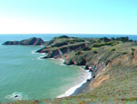 |
||
| Outcrops of Baker Beach | Presidio and Alcatraz | Marin Headlands | ||
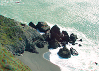 |
 |
 |
||
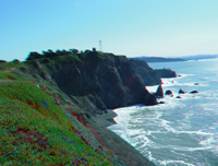
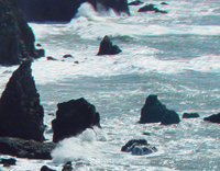
| Marin Headlands | Marin Headlands | Marin Headlands | ||
 |
 |
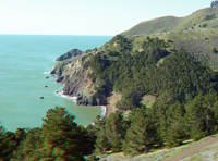 |
||
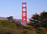
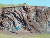
| Golden Gate Bridge | Ribbon chert layers | Marin Headlands | ||
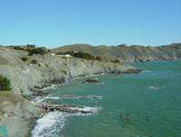 |
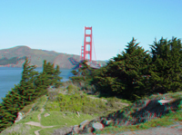 |
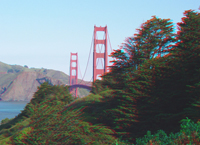 |
||
| Point Bonita Beach | Golden Gate Bridge | Golden Gate Bridge | ||
 |
 |
 |
||
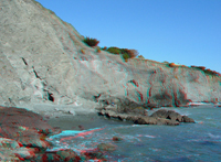
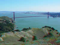
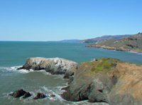
| Marin Headlands | Golden Gate Bridge | Marin Headlands | ||
 |
 |
 |
||
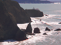
| Marin Headlands | Marin Headlands | Marin Headlands | ||
 |
 |
Click here to see San Francisco Bay region photography, including Pinnacles National Park and Point Reyes National Seashore. | ||
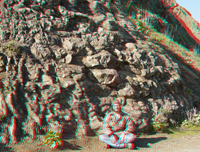
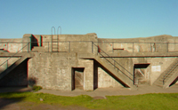
| Pillow basalts | Military bunker |
 |
This website contains images produced from stereo photo pairs that were manipulated into anaglyphs (3-D images). You will need red-and-cyan stereo viewing glasses to get the 3-D visual effects. All photography on this website was taken in 2003 and 2004. |
| This page is <https://gotbooks.miracosta.edu/gonp/goga/> Last modified 1/18/2011 |