|
Click here to start a tour of Carrizo Plain National Monument. Click on any of the images to continue to the next page in the linked series of web pages. Or, see a thumbnail gallery. |
|
|
|
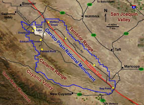
Map of Carrizo Plain National Monument. Click on the "Next Image" (below) to continue on the image tour, or click on any of the small yellow dots on the map above to go directly to selected images. |
 |
 |
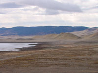 |
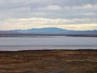
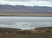
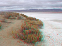
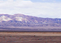
| Soda Dry Lake. | Soda Dry Lake with Temblor Range. | Soda Dry Lake with Caliente Range. |
 |
 |
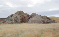 |
| Soda Dry Lake shoreline. | Painted Rock. | Painted Rock (east side). |
 |
 |
 |
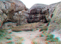
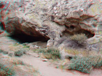
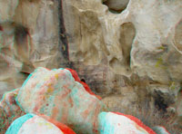
| Alcove in Painted Rock. | Alcove in Painted Rock. | Pictographs at Painted Rock. |
 |
 |
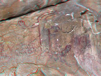 |
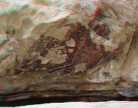
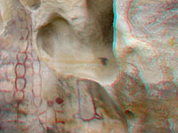
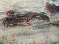
| Pictographs at Painted Rock. | Pictographs at Painted Rock. | Pictographs at Painted Rock. |
 |
 |
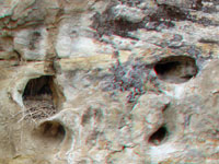 |
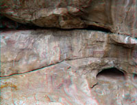
| Pictographs at Painted Rock. | Alcove in Painted Rock. | Bird Nest in Painted Rock. |
 |
 |
 |
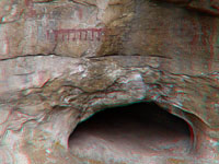
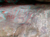
| Pictographs at Painted Rock. | Pictographs at Painted Rock. | Pictographs at Painted Rock. |
 |
 |
 |
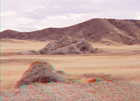
| Painted Rock (west side). | Soda Dry Lake Temblor Range | Wallace Creek and Temblor Range. |
 |
 |
 |
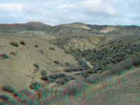
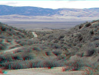
| Wallace Creek offset stream. | San Andreas Fault scarp. | San Andreas Fault south of Wallace Creek. |
 |
 |
 |
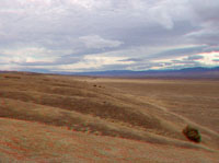
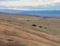
| Elkhorn Scarp area. | Elkhorn Scarp area with Caliente Range. | Elkhorn Scarp area with Caliente Range. |
 |
 |
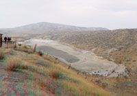 |
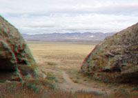
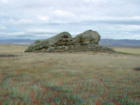
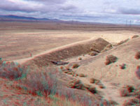
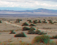
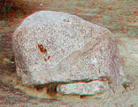
| View northwest toward Soda Lake. | Granite boulder with dike. | Sag Pond along San Andreas Fault (south end of park). |
|
The Carrizo Plain Natural Area became the Carrizo Plain National Monument in January 2001 by presidential proclamation. The park is noted for its geologic features (including the San Andreas Fault and Soda Dry Lake), archeological sites, and wildlife. The park is the largest remaining remnant of the original San Joaquin Valley habitat. The national monument encompasses almost 250,000 acres. The land is cooperative managed by the U.S. Bureau of Land Management, the California Department of Fish and Game, and The Nature Conservancy. The preserve still encompasses private land holdings that are used for limited cattle ranching and dry-land farming. Land management priority activities include restoration of the pre-colonial ecosystem and the protection of endangered species habitats while managing human use of the region's natural resources. The park is located about 160 miles north of Los Angeles, 260 miles south of San Francisco, about 55 miles west of Bakersfield, and and 50 miles north of Santa Barbara. Check out the U.S. Bureau of Land Management's Carrizo Plain National Monument website - http://www.ca.blm.gov/bakersfield/carrizoplain.html Click here here to see selected publications about the geology and natural history of the Carrizo Plain used to prepare this website. Many contain exhaustive bibliographies useful for research. |
 |
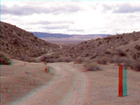
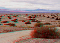
All photography on this website was taken in 2004. This website contains images produced from stereo photo pairs that were manipulated into anaglyphs (3-D images). You will need red-and-cyan stereo viewing glasses to get the 3-D visual effects. |
Click here to see more geology tours of National Parks.
Click here to see selected references.| This page is <https://gotbooks.miracosta.edu/gonp/carrizo/> Last modified Mon 1/12/2011 |