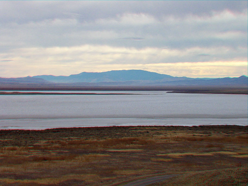
| View of Soda Lake from Overlook Hill. Soda Lake Road is in
the foreground. The Temblor Range is in the distance (to the east). The
Carrizo Plain is located in San Luis Obispo and Kern Counties, California. The national monument preserves a region of low relief between mountain ranges of the western Transverse and Coast Ranges. The low point in the preserve is Soda Lake Basin at about 1903 feet above sea level (shown here) (USGS, 2011). Soda Lake is a playa (or an ephemeral or dry lake) typically covered by alkali salts between infrequent winter wet periods. The lake bed held water throughout the year after the record rainfall season of 1998 (BLM, Bakersfield Field Office, 2010). The highest elevation in the park is about 2500 feet above sea level in the Southern Elkhorn Hills of the extreme southeastern Carrizo Plain.
Nearby, McKittrick Peak in Kern County (shown here in the distance) is in the
Temblor Range and is 4,332 feet above sea level. |