USGS Earth Science Photographic Archive digital file: hjk00597
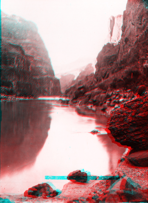
Narrow Canyon (named by Powell on the 1869 Expedition) extends from Mille Crag Bend to the mouth to the Dirty Devil River (later named Fremont River). Cliffs in this section of the canyon include sedimentary units of Pennsylvanian to Permian age along river level (now flooded by Lake Powell), and massive cliffs of Cedar Mesa Sandstone (Permian) that extend about 1,000 feet above the river. Today, Narrow Canyon is filled with water from Lake Powell except when lake levels drain to their typically lowest levels in the late fall. During low water, this section of the canyon is now deeply silted in with sediments accumulating in the upstream end of the reservoir.