|
California Clouds and Weather |
|
This website is a collection of selected photographs of different types of clouds and weather conditions that are fairly common in Southern California. Weather in Southern California is influenced by the climate's prevailing wind patterns, seasonal changes, regional geography, and larger scale factors influenced by seasonal and longer-term oceanographic climate conditions.
Naming clouds can be a challenge! Weather conditions are constantly changing. Most people are familiar with common weather terms, such as clear skies, cloudy, rainy, windy, warm or cold, or "cloud that looks like a duck" and so on. But knowing the technical names of clouds and how they form can be very useful information.
Click here to see a website about weather information (including a variety of weather maps, radar and satellite imagery maps) provided by the National Weather Service and collaborating organizations.
Click here to see a glossary of weather (Latin-based terminology used to describe clouds and weather).
|
Click on images for a larger view. |
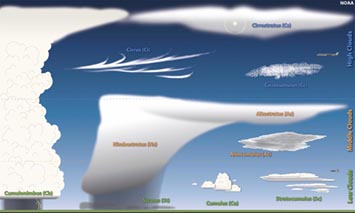
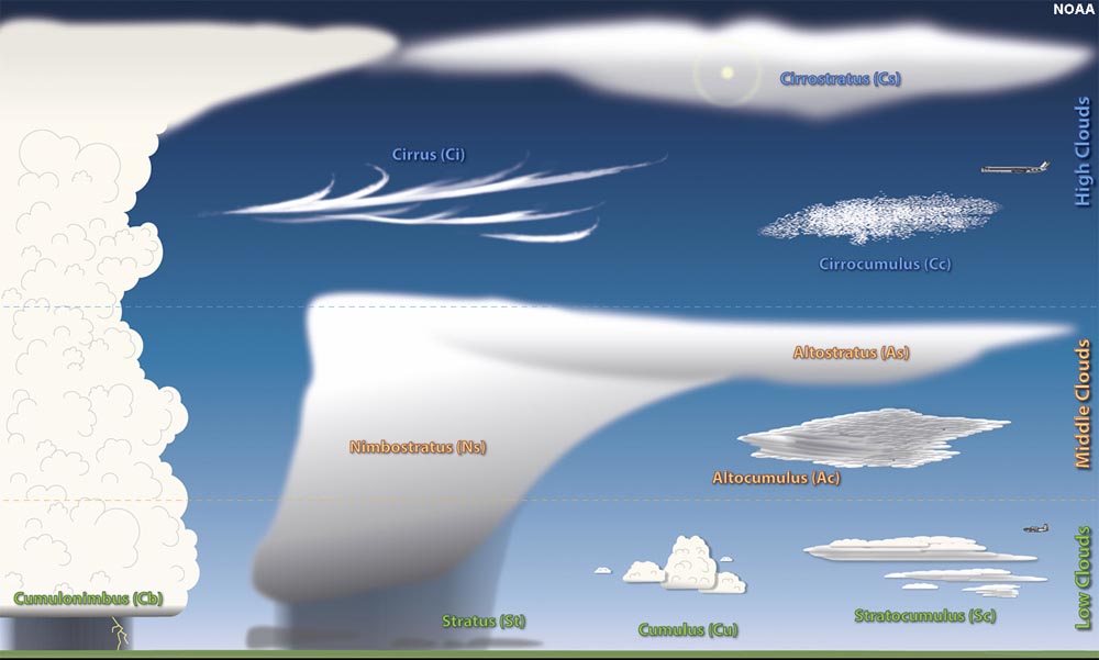
General classification of cloud types (NOAA) |
.1.1
| Click here for additional information about clouds and weather. or see a textbook chapter: Atmospheric Processes and Climate. |
General Classification of Naming Clouds
(Cloud Genera)
Clouds are named (classified) in three ways: This classification uses conjugated terms to create cloud names:
1. CLOUD SHAPE (general appearance):
● STRATUS applies to layered clouds formed by stable air (stratified by density).
● CUMULUS applies to heaped or billowing clouds created by rising and falling unstable air currents.
2. ALTITUDE WITHIN THE TROPOSPHERE: (altitude above the surface, not elevation relative to sea level)
● low-level
clouds - these are clouds typically below 2,000 meters or 6,500 feet.
---- examples include stratus, cumulus, stratocumulus, and nimbostratus clouds.
● mid-level clouds (uses the antecedent ALTO) - these are clouds typically below 6,000 meters or 20,000 feet in altitude.
---- examples include altostratus and altocumulus.
● high-level clouds (uses the antecedent CIRRO)- These are clouds that are typically above 6,000 meters or 20,000 feet in altitude.
----examples include cirrus, cirrostratus, and cirrocumulus clouds.
PRECIPITATION
● NIMBO or rain clouds: Clouds are named by whether or not they are producing precipitation.
----nimbostratus and cumulonimbus (rain clouds and thunderstorms) can include low-level, mid-level, to high-level clouds.
Cloud names are generated conjugating these terms along with special terms applied to special cloud characteristics.
|
Special Cloud Names: Cloud Species, Cloud Varieties, and Accessory Clouds
Some kinds of clouds are designated special names, described as cloud species that are grouped together by peculiarities in shape and internal structure.
As in naming plant or animal species, these terms are added after the name of a clouds. Click here to see a short Glossary of Cloud Terms and Classification
|
1.2
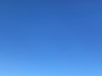
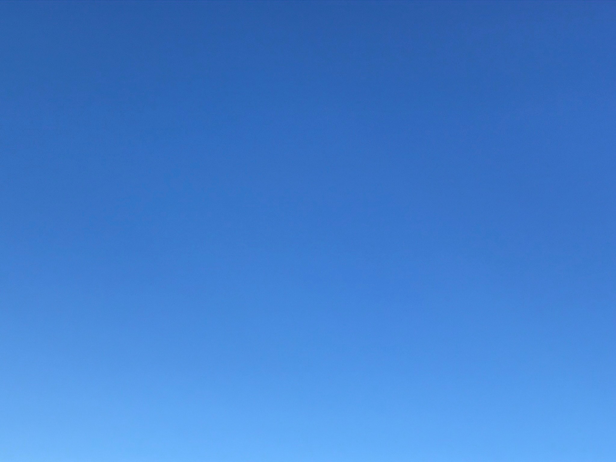
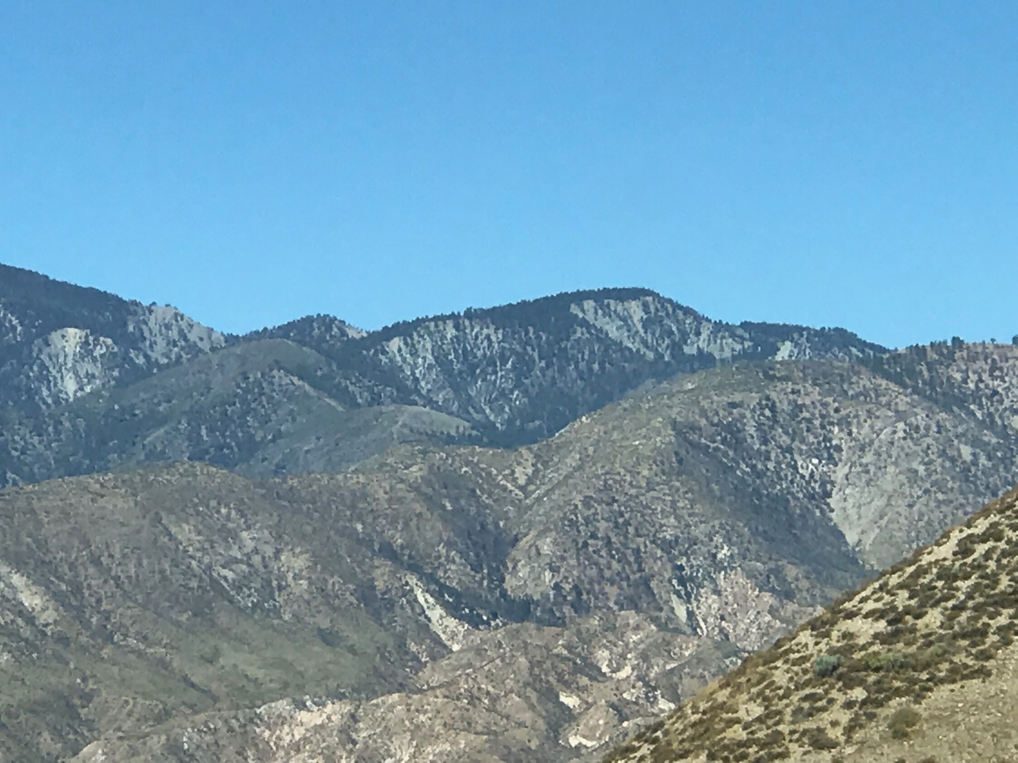
Clear Sky
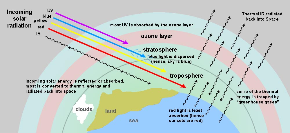
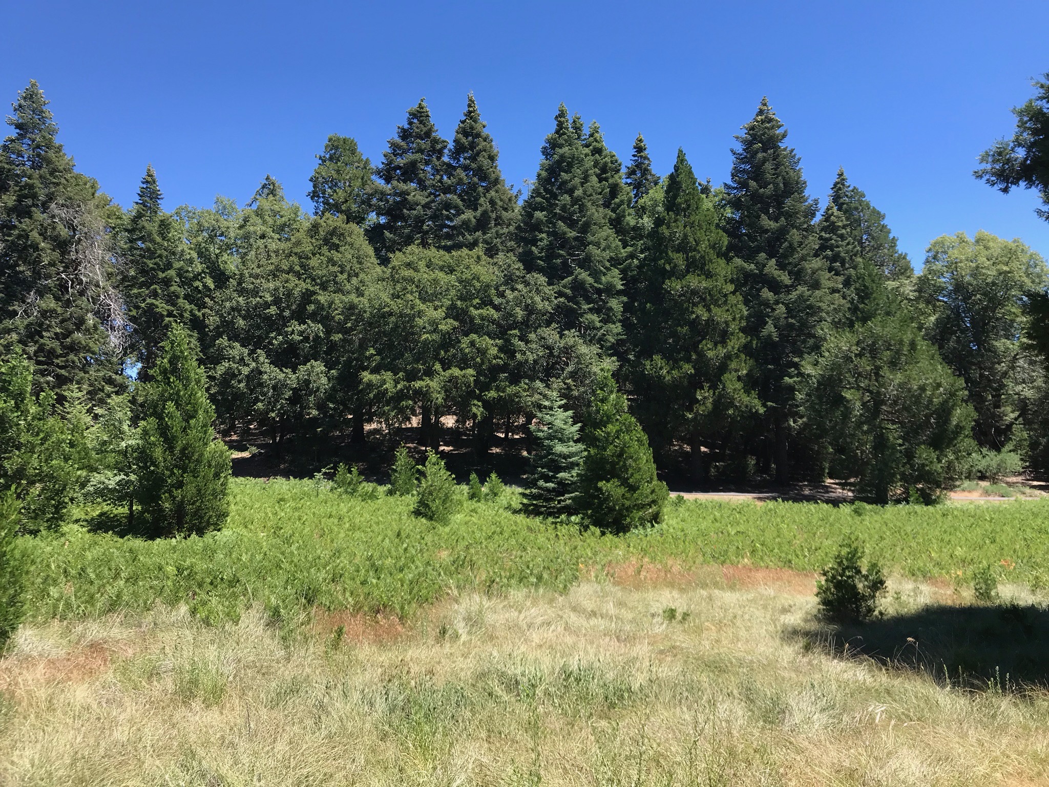
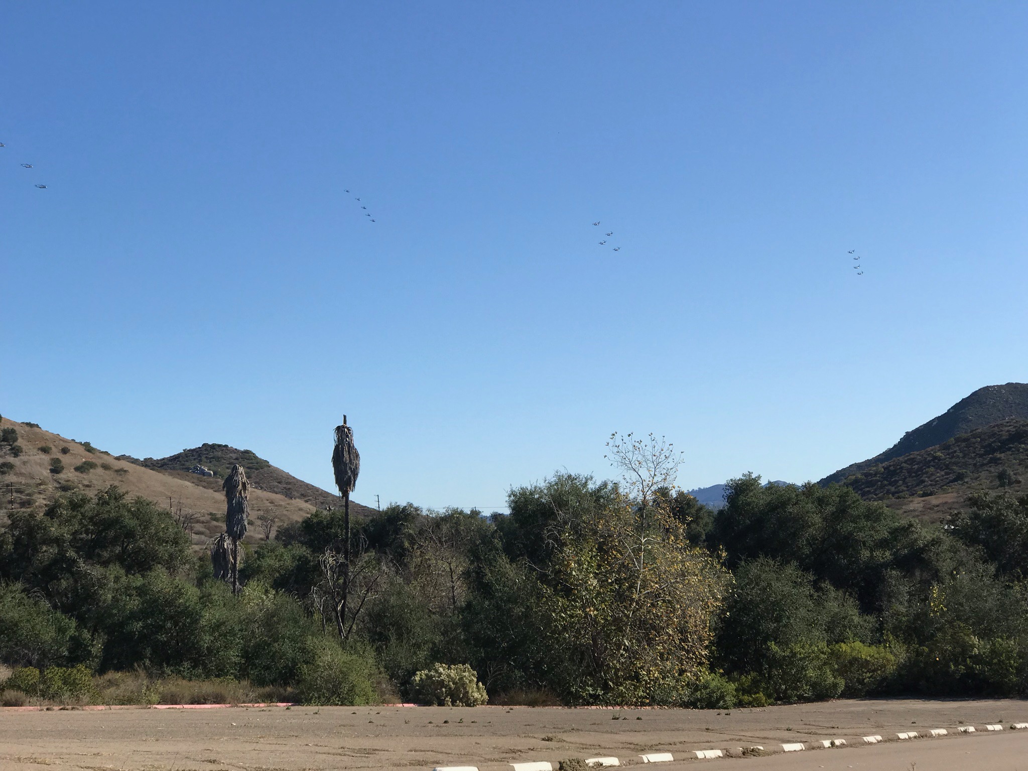
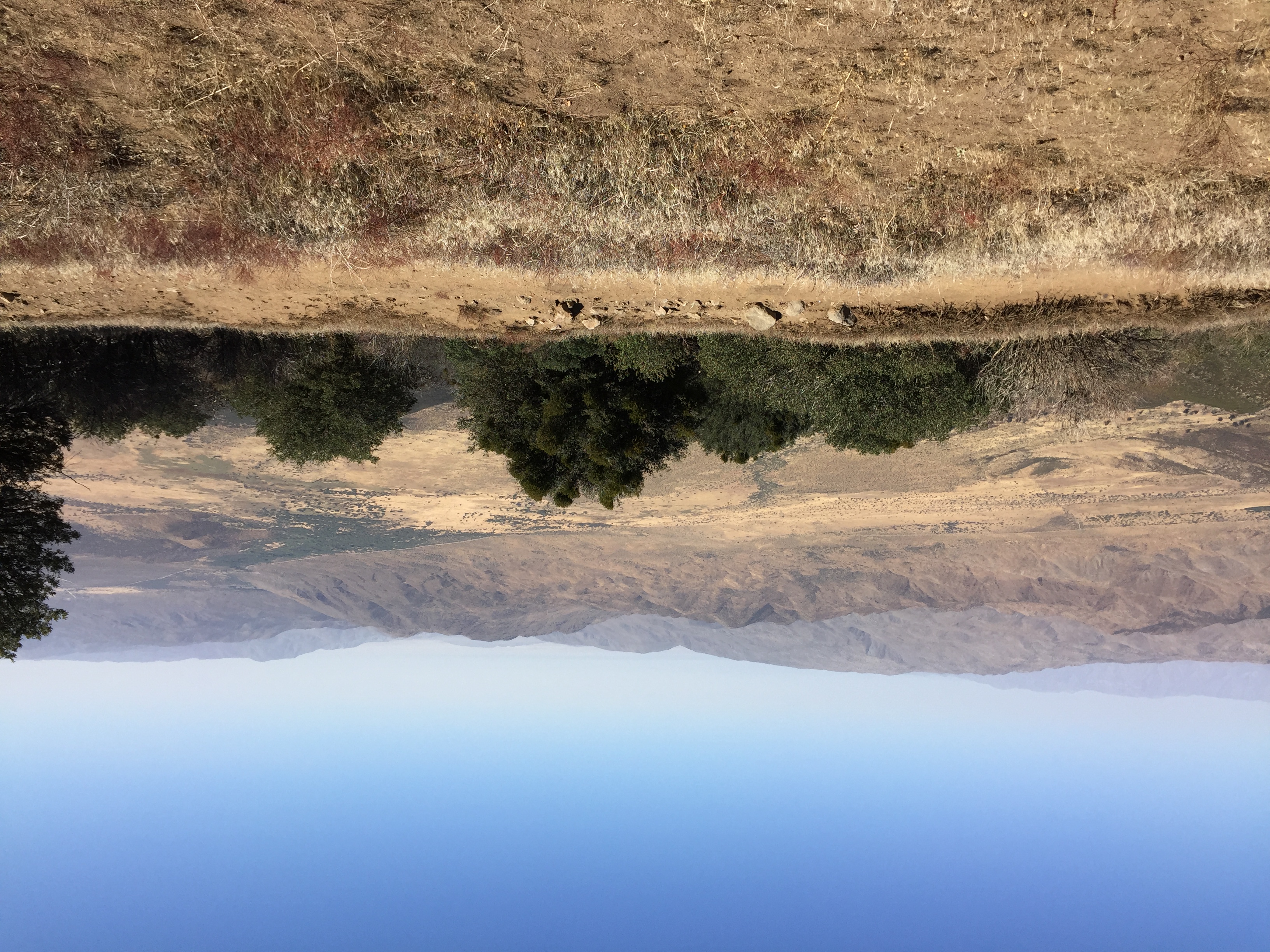
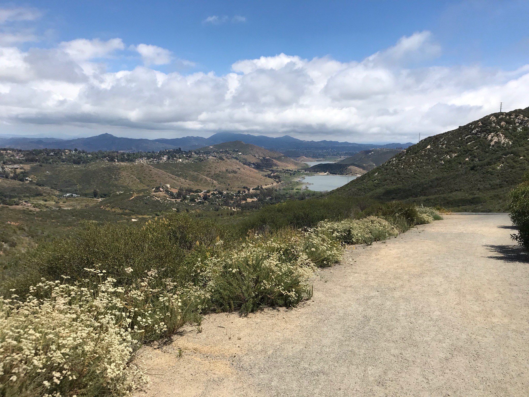
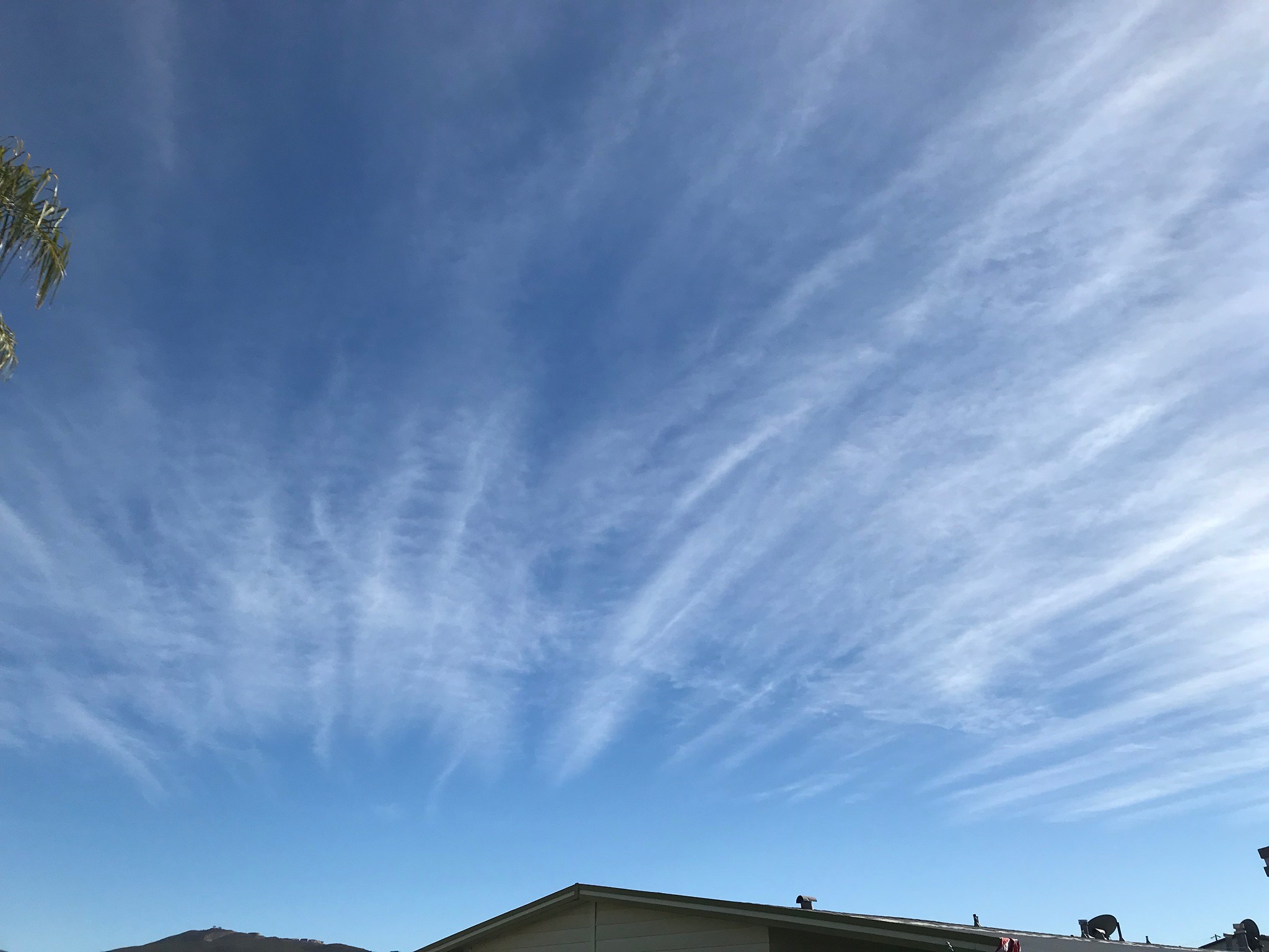
Blue skies are most common in southern California! Blue skies are associated with dry, high pressure air masses, and general stability in the atmosphere. The deepest shades of blue appear at higher elevations, when the air lacks moisture, and free of dust, pollution, or particulate matter of any source, natural or man made. Deepest shades of blue occur directly overhead where sunlight has a shortest distance to travel through the atmosphere, and less son ear the horizon due to atmospheric dispersion. Atmospheric dispersion causes in the whitening of the sky near the horizon, or red skies at sunrise or sunsets and sunset. |
 |
 |
 |
| Clear blue sky (up from anywhere, almost any day) |
Clear blue sky over the San Gabriel Mountains, CA |
Clear blue sky over Palomar Mountain, CA |
 |
 |
 |
| Blue sky grading to diffuse haze near horizon. |
Blue sky grading to haze from Volcan Mountain, CA |
Evening sky showing light dispersion (reddening) |
1.3
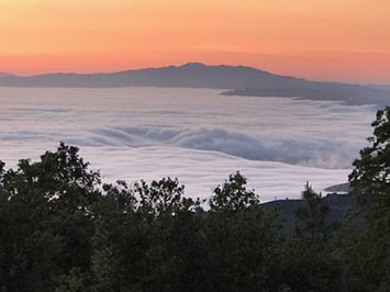
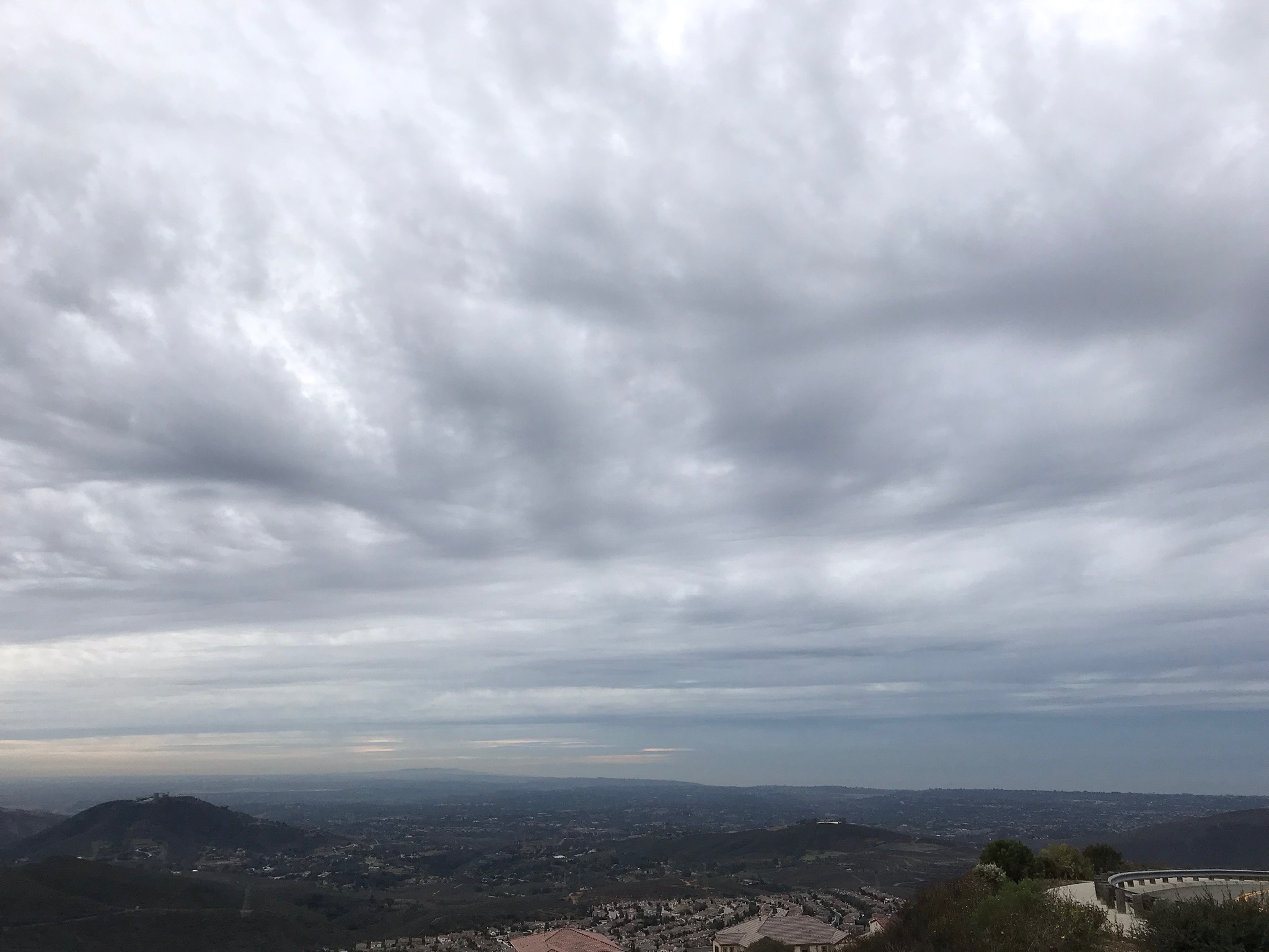
Stratus
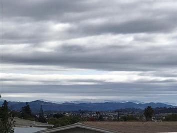
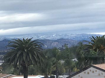
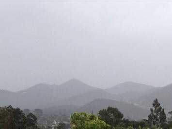
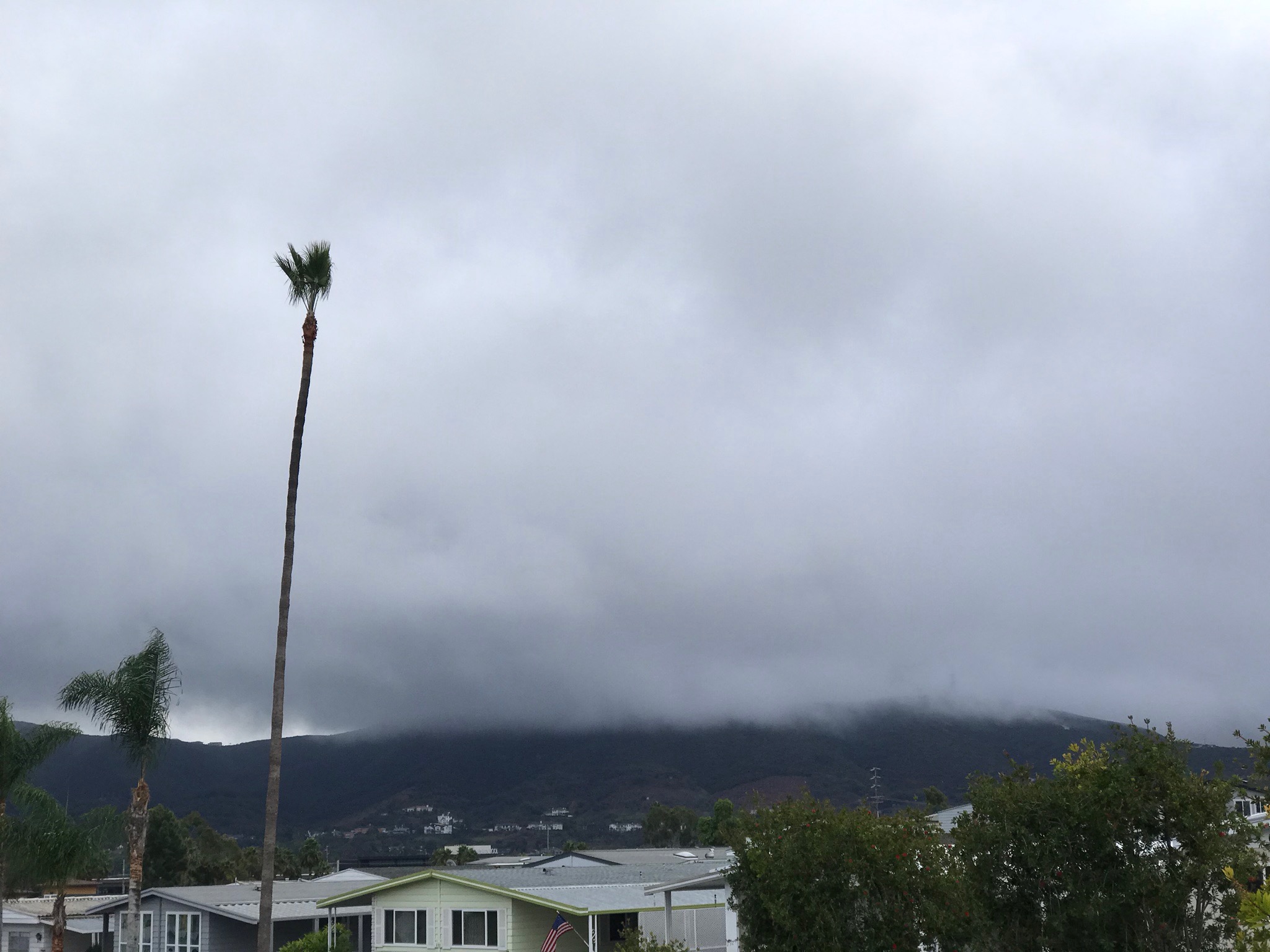
Stratus clouds are typically low-level clouds that generally create a flat layer with a fairly uniform base and top. In the case of fog it can be the land or ocean surface. Stratus clouds can range to thin layers that lightly obscure the sun or moon, to massive layers that produce light precipitation (typically drizzle or light snow).
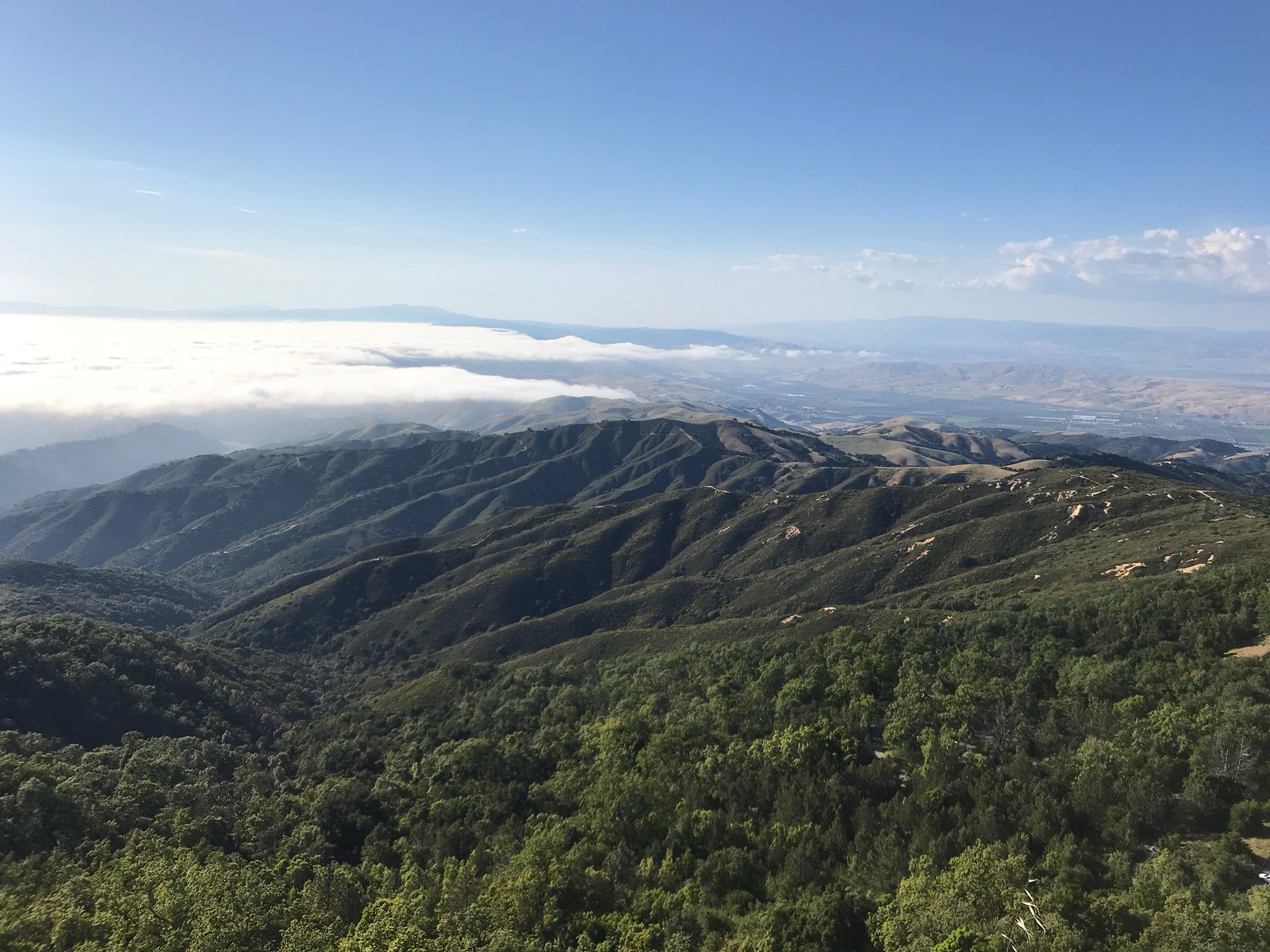
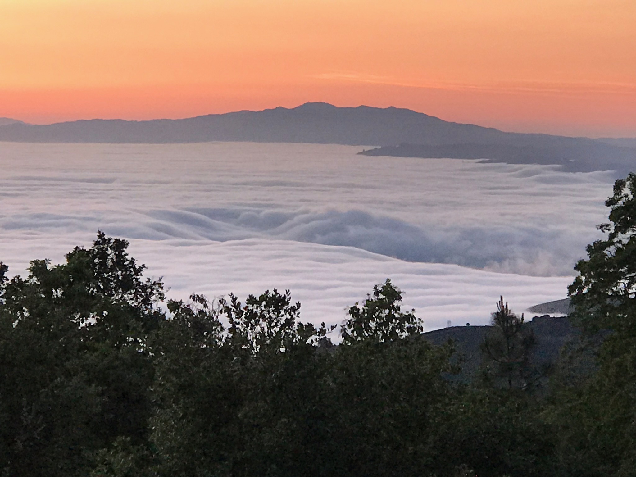
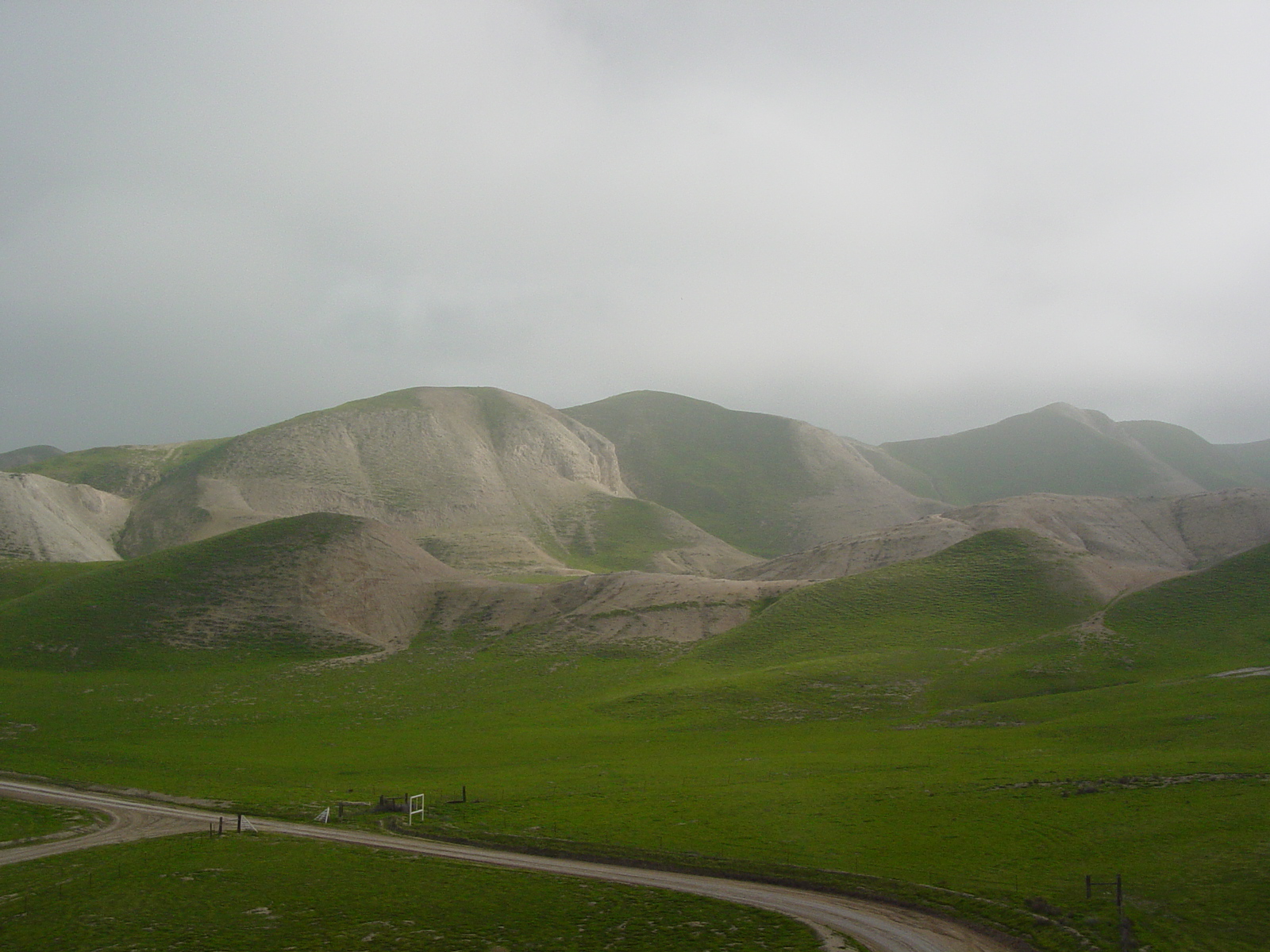
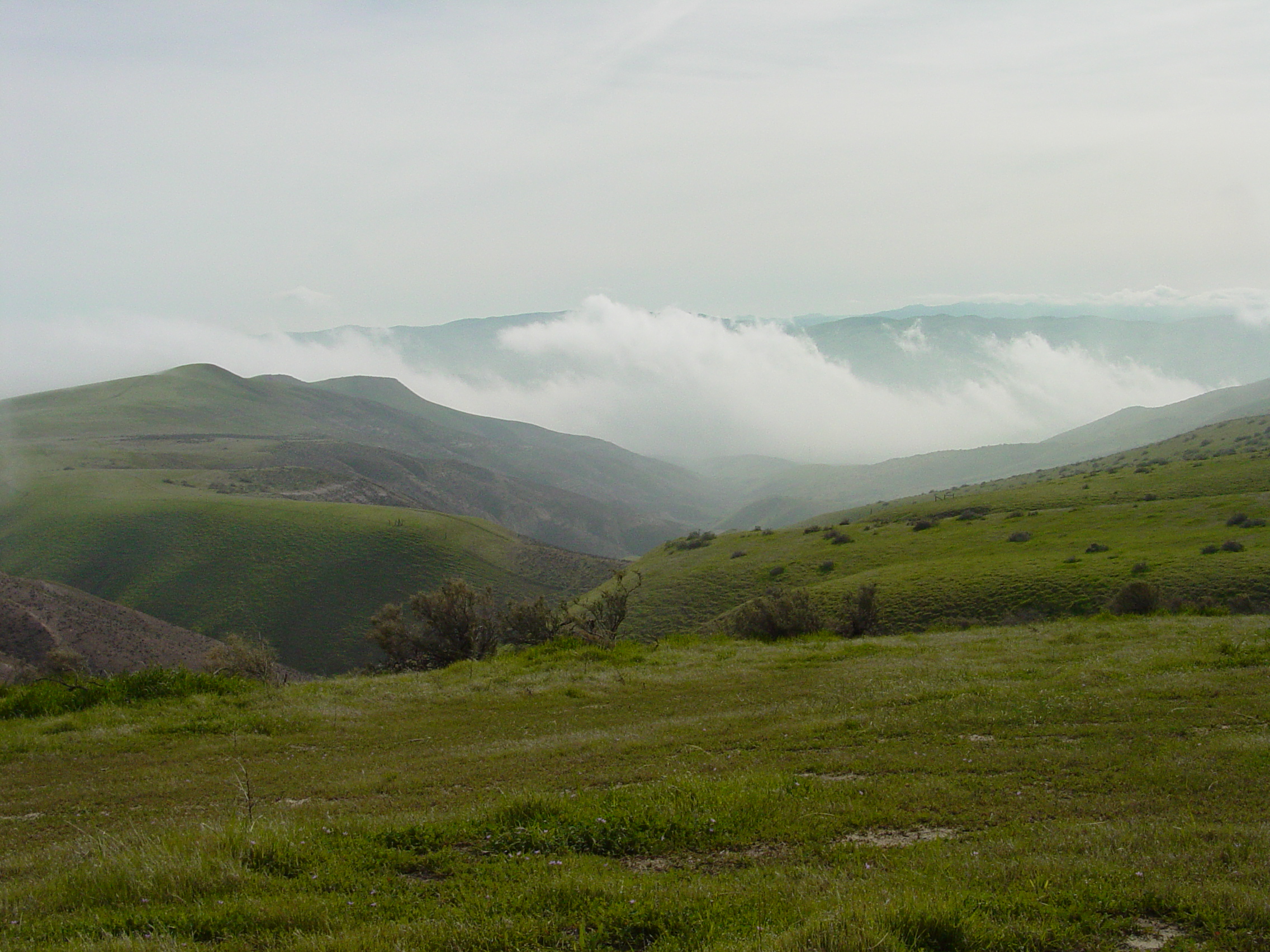
Along the coast, a stratus layer typically forms between cooler, moister air near the surface and warmer, stable air lawyer above. This creates what is locally called a marine layer along coastal areas that can move onshore with the prevailing sea breeze when conditions are right. |
 |
 |
 |
| Stratus (marine layer) over Monterey Bay. These views are from Fremont Peak State Park, CA |
A stratus marine layer trapped by the Santa Cruz Mountains along Monterey Bay. |
Sunset set on the marine layer with more distant stratus layers over the ocean at Monterey Bay. |
 |
 |
 |
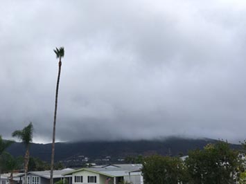
| Stratus clouds form a marine layer is that moved onshore along the coast in Encinitas, CA |
Status cloud become fog where they encounter the coast on the mountainsides along the Big Sur, CA |
A low marine layer (stratus) become fog at it moves inland into the upland hills of Vista and Carlsbad. |
 |
 |
 |
| The base of a stratus cloud (fog) blankets to top of Double Peak in San Marcos at about 1000 feet elevation. |
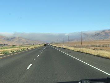
A ground-level stratus cloud (fog) is pouring out of a mountain gap and dissipating into the warmer air of the Central Valley along CA Highway 46. |
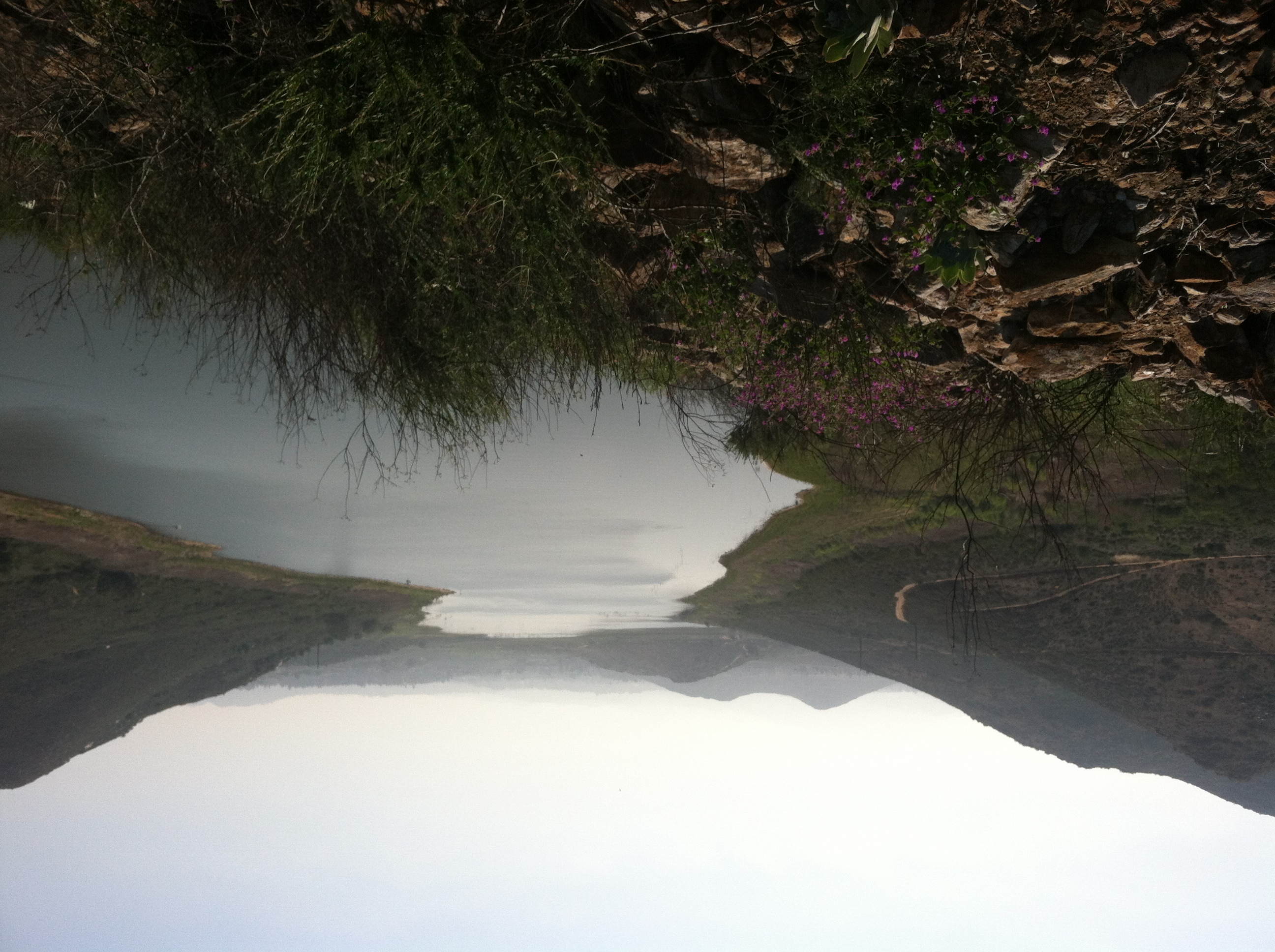
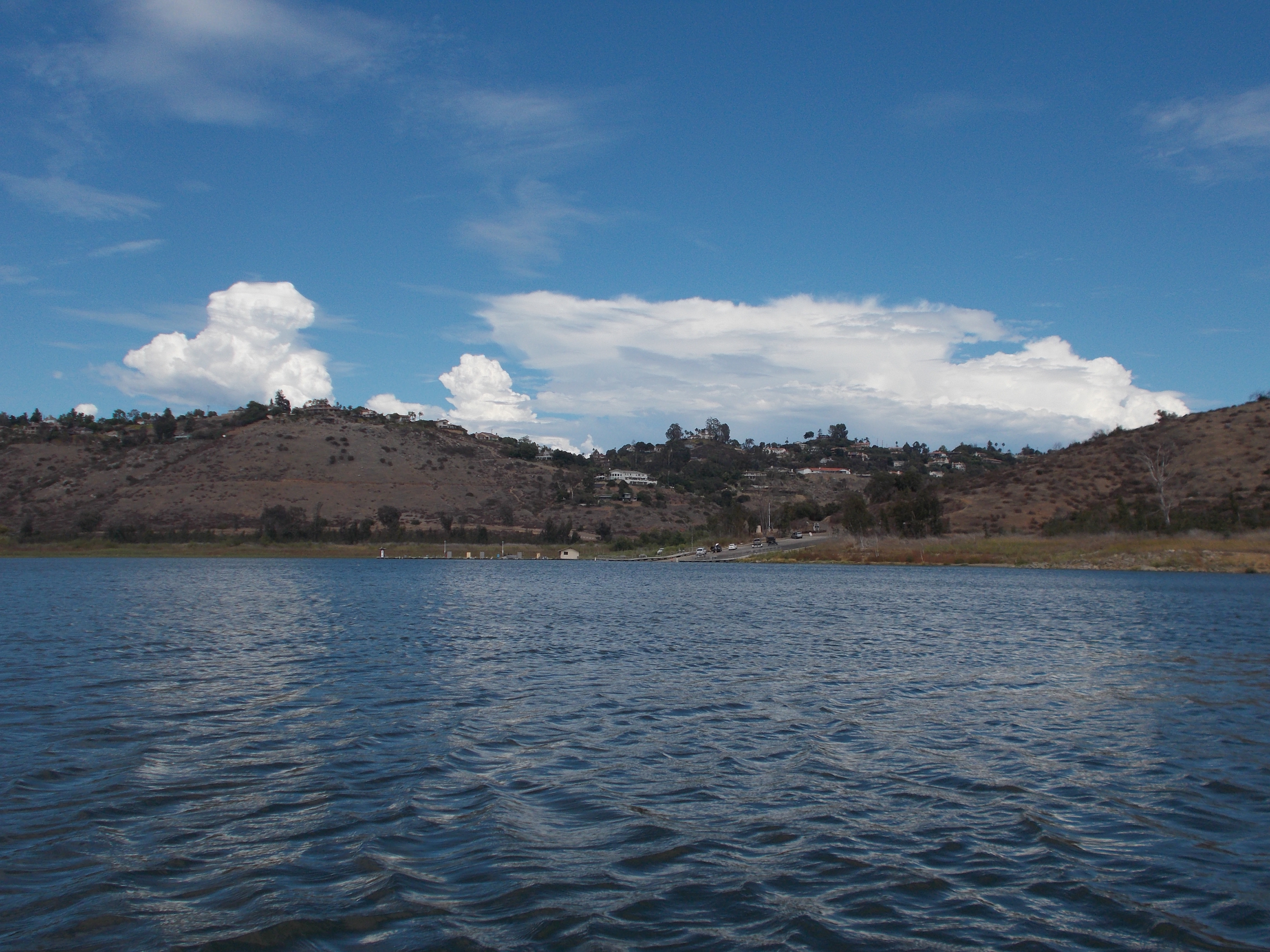
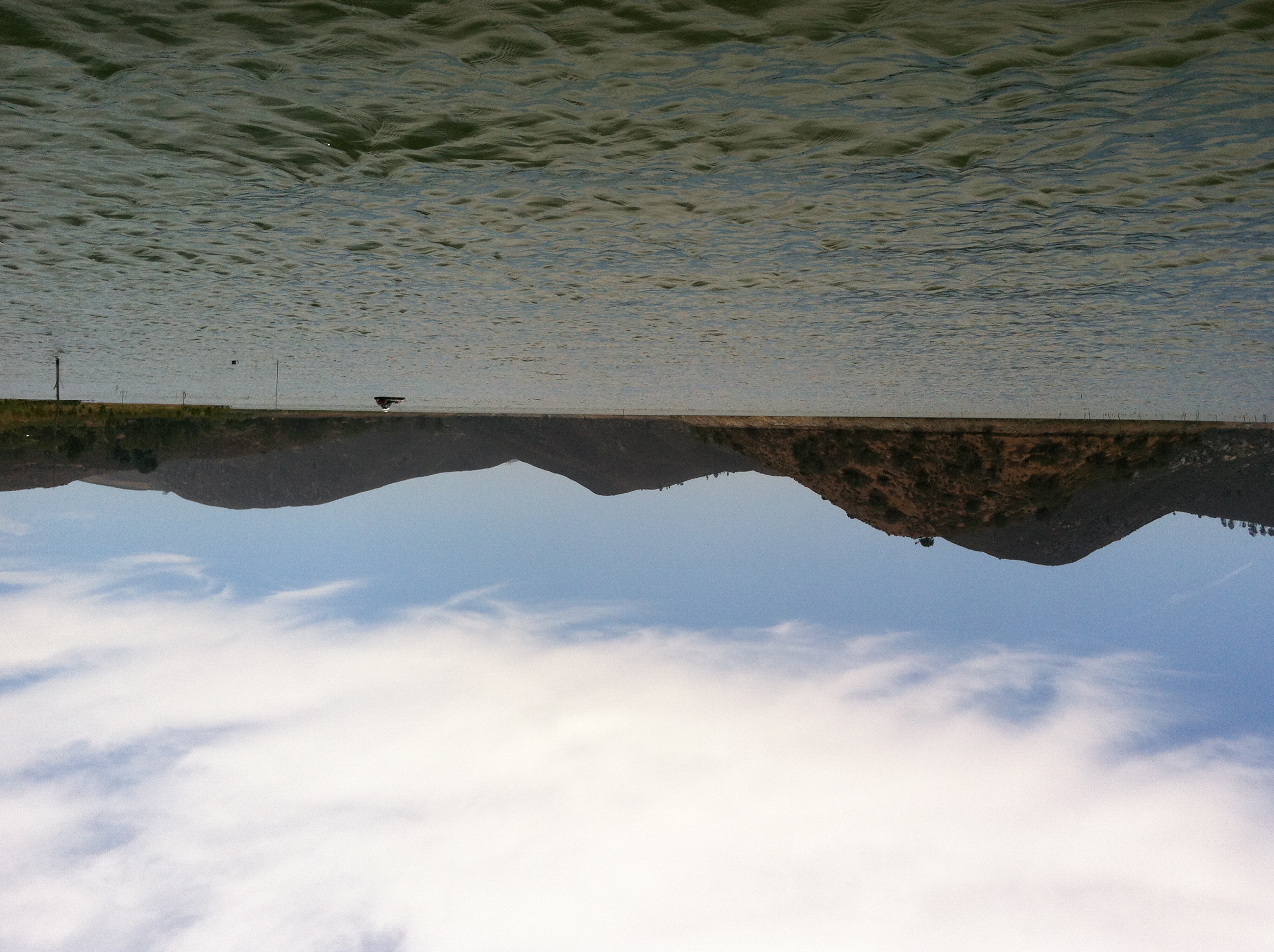
Diffuse stratus fog grading to haze over Lake Hodges, San Diego County, CA
|
 |
 |
 |
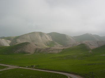
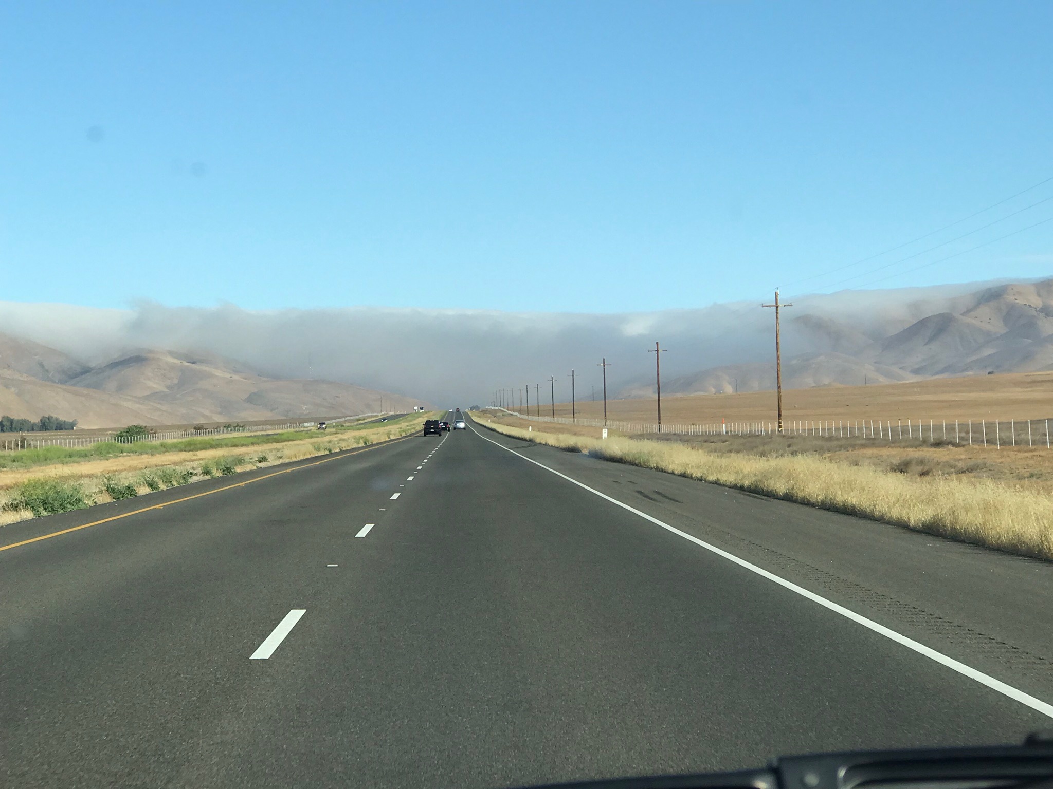
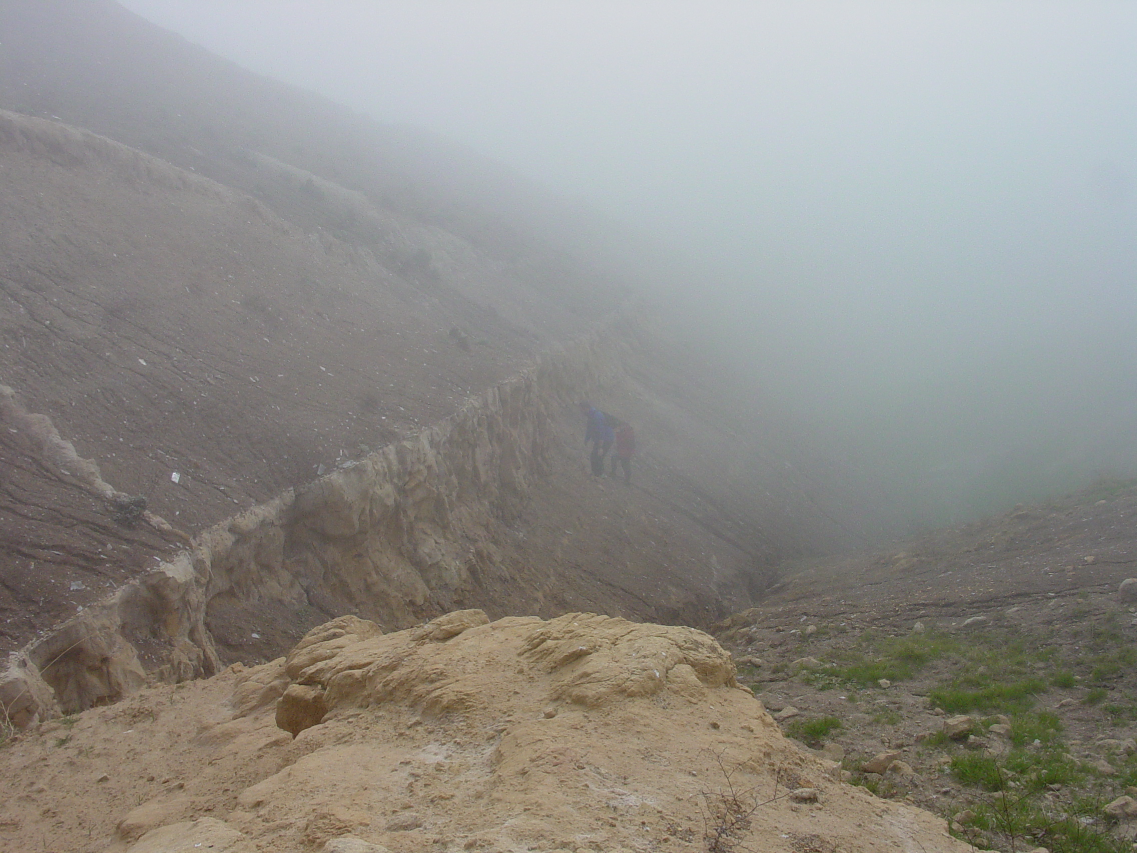
| Fog (stratus) over the Panoche Hills, CA. Fog in the Central Valley is locally called Tule fog. |
Tule fog (stratus) over the Tume Hills, eastern Central Valley region, CA |
Tule fog (stratus) over the Tume Hills, eastern Central Valley region, CA |
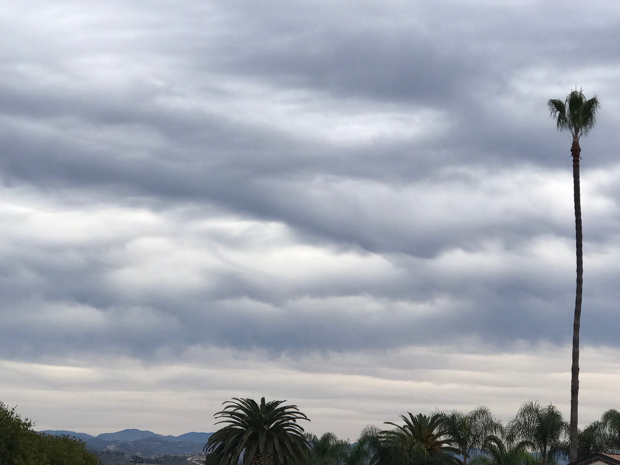
1.4
Altostratus
Altostratus are typically middle level strato-form clouds, but often extend higher. They display a flat and uniform type cloud texture. Altostratus clouds typically indicate the approach of a warm front and may thicken and lower into stratus, then morph into nimbostratus resulting in rain or snow. Altostratus clouds themselves do not produce significant precipitation at the surface, although sprinkles or occasionally light showers may occur. |
 |
 |
 |
| Altostratus |
Stratus and altostratus clouds |
Altostratus and stratocumulus clouds |
 |
 |
 |
| Altostratus (with altostratus undulatus) |
Altostratus |
Altostratus |
 |
 |
 |
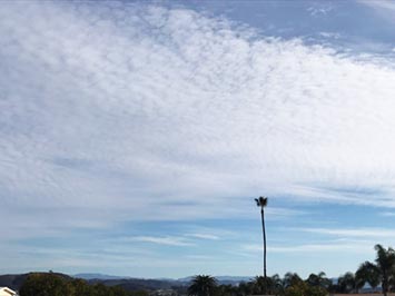
| Stratocumulus grading into altostratus |
Stratocumulus grading into altostratus |
Altostratus duplicatus grading into cirrostratus spissatus at sunset |
1.5
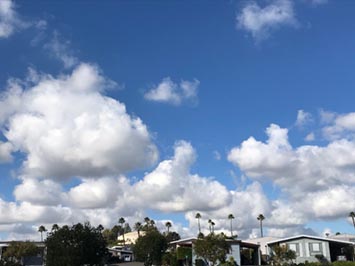
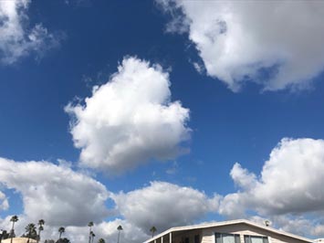
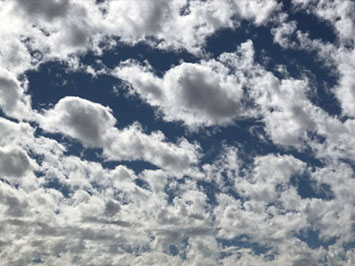
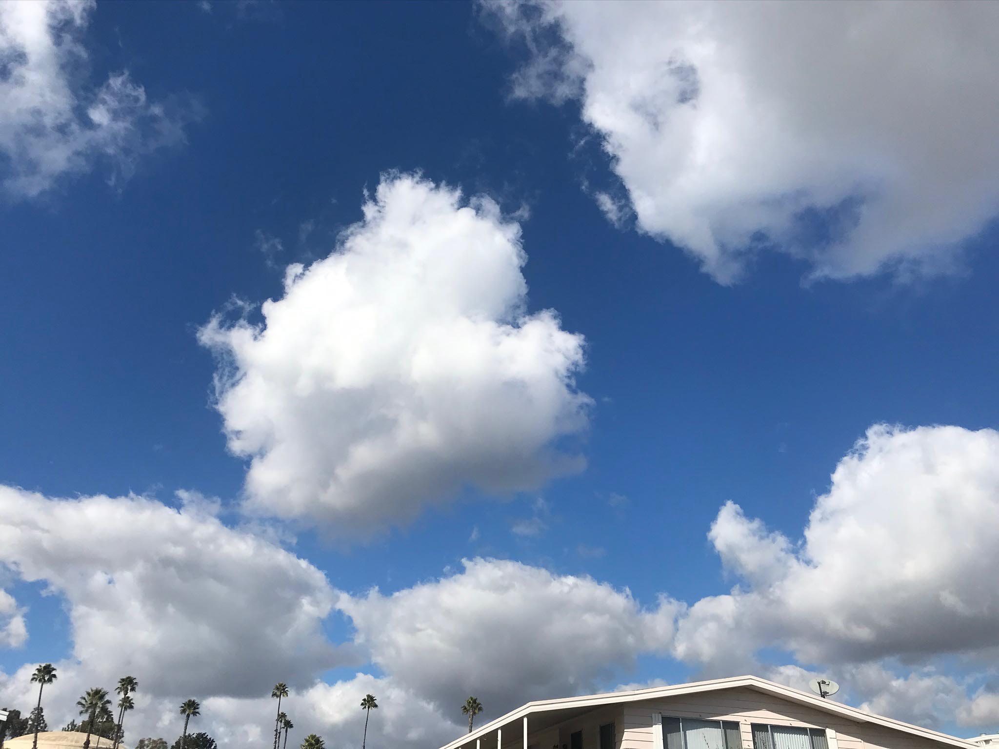
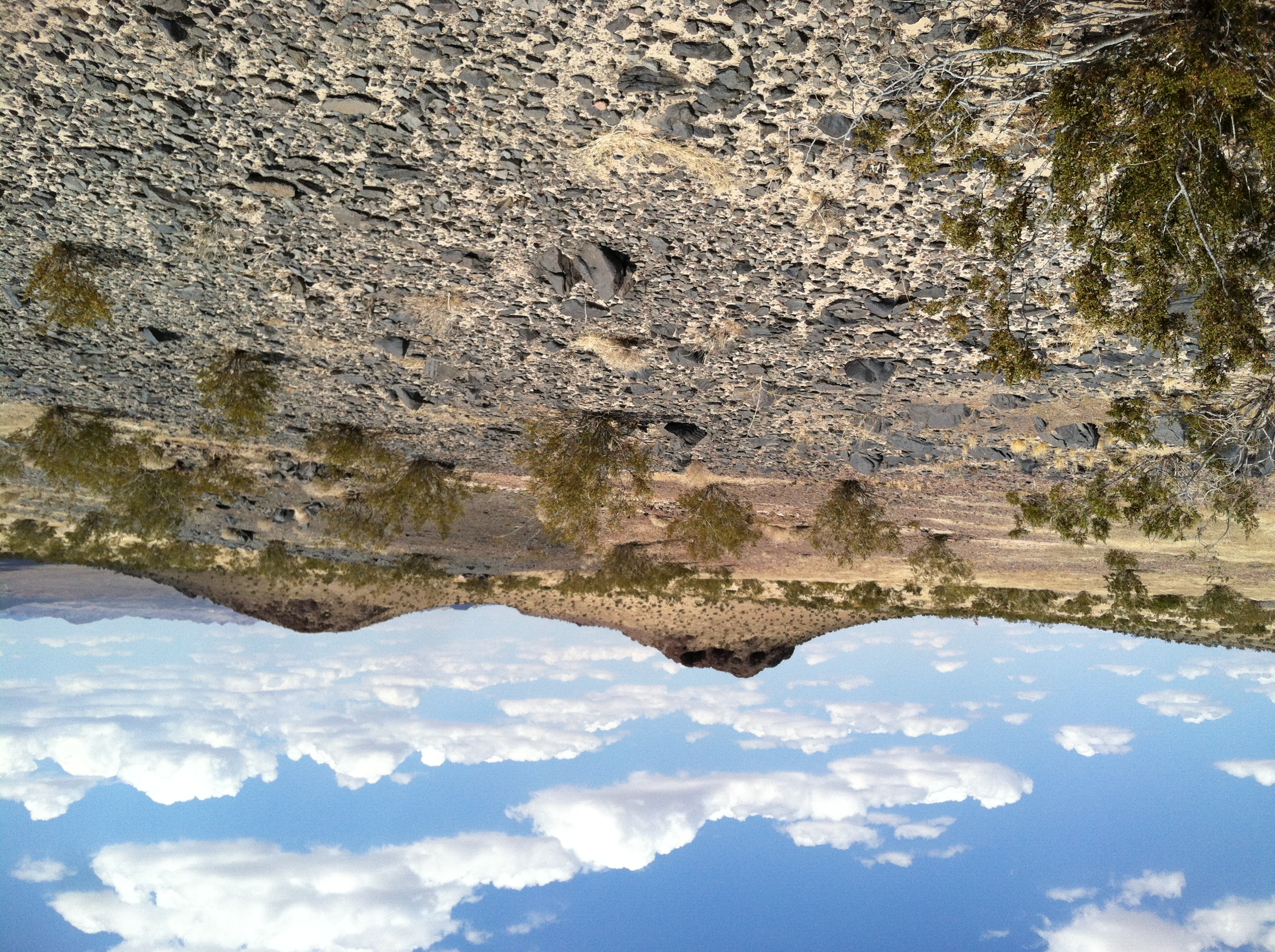
Cumulus
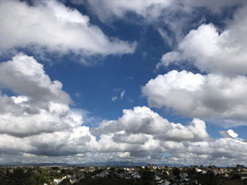
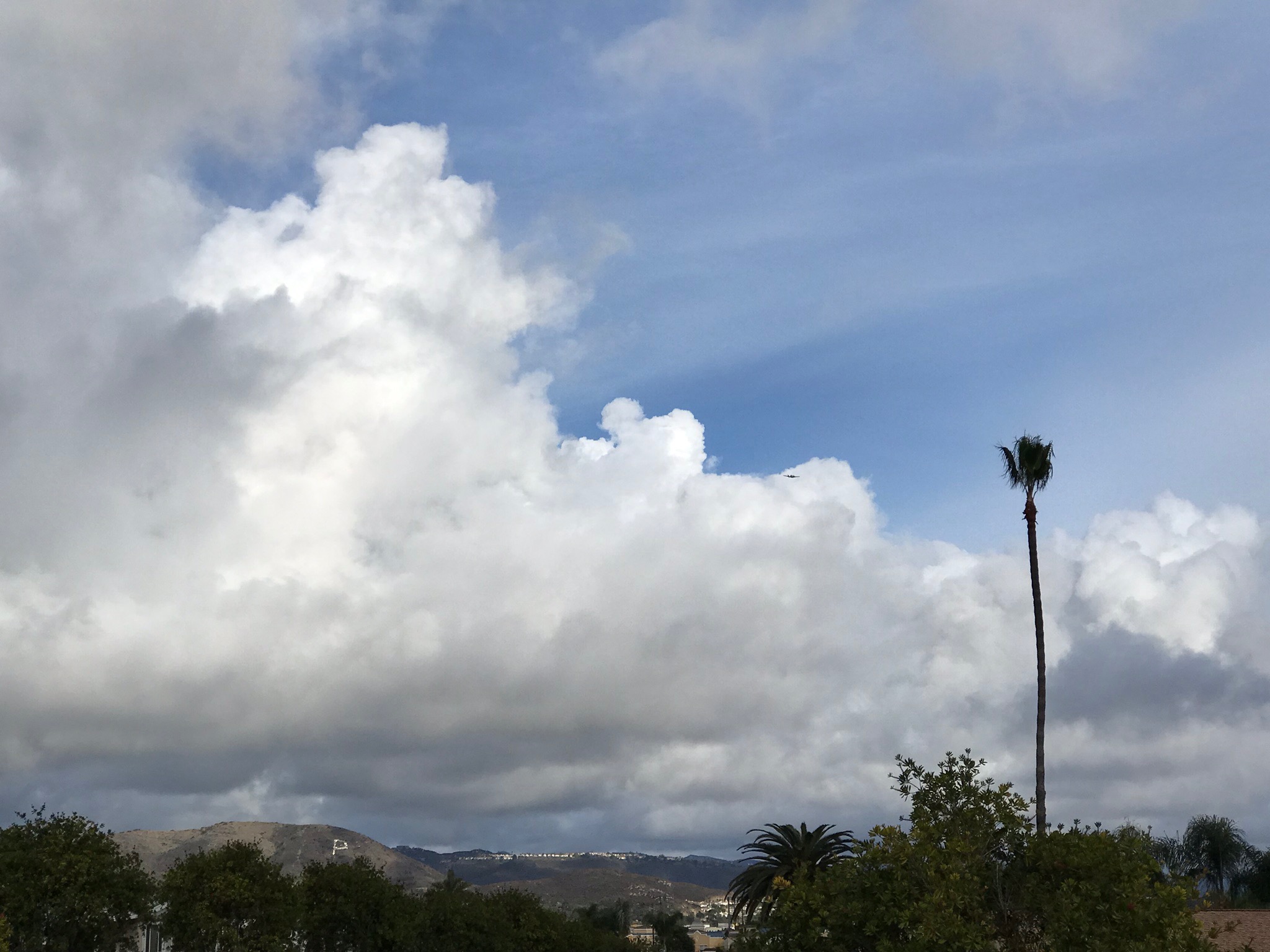
Cumulus clouds are low-level puffy white, cotton-ball-like clouds with gray bases. Cumulus clouds are often associated with fair weather condition. Cumulus clouds typically have flat bases and domed tops, somewhat resembling the shape of cauliflower. When viewed from a distance, the base of cumulus clouds appear to start at the same level in the atmosphere. Cumulus clouds usually have their bases in the low levels, but with time may build upward to middle and upper levels. |
 |
| Cumulus humilus (fair weather clouds) as seen from Double Peak overlooking the valley of San Marcos. The base of the cloud layer is about 2,500 feet. |
 |
 |
 |
| Cumulus |
Cumulus |
Cumulus |
 |
 |
 |
| Cumulus mediocris |
Cumulus mediocris |
Cumulus mediocris |
 |
 |
 |
| Cumulus congestus |
Cumulus humilus over the Cady Mountains, CA |
Cumulus clouds |
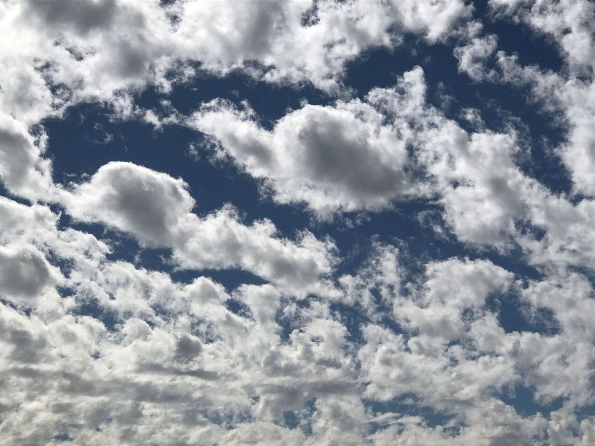
1.6
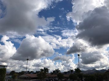
Altocumulus
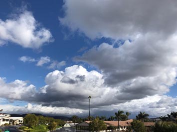
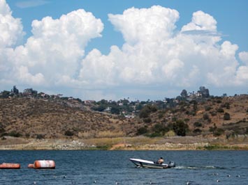
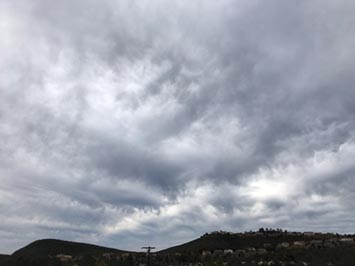
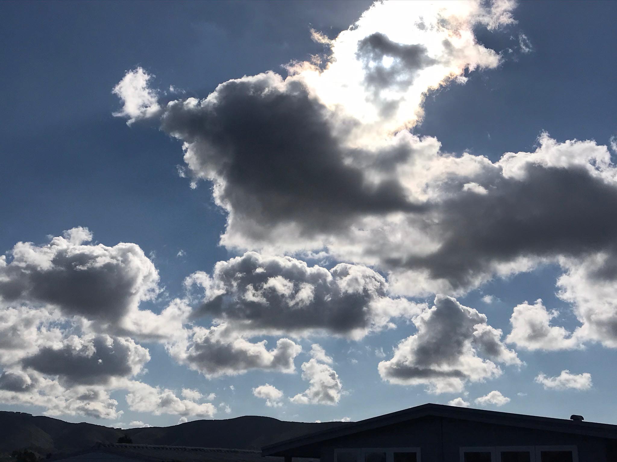
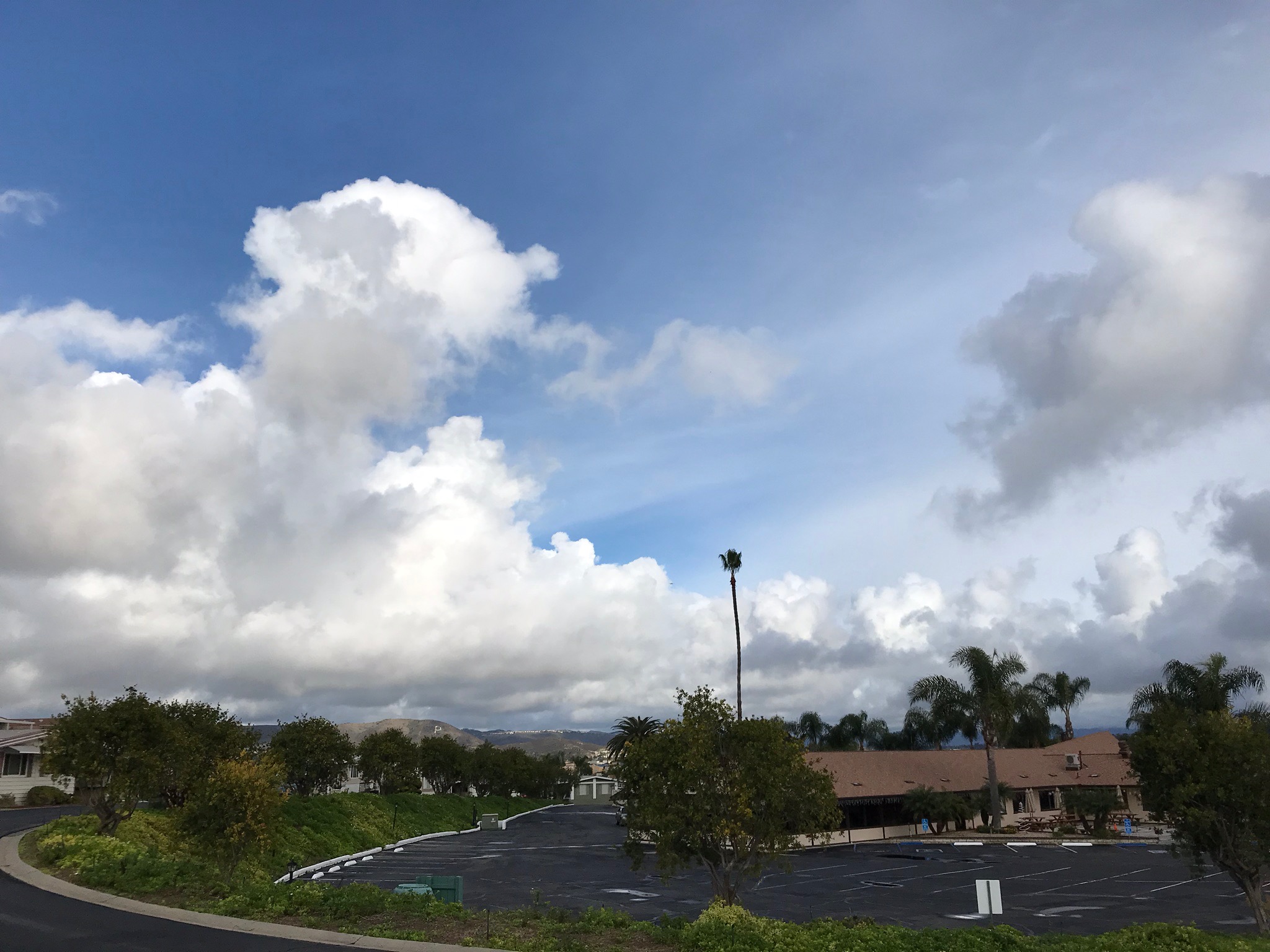
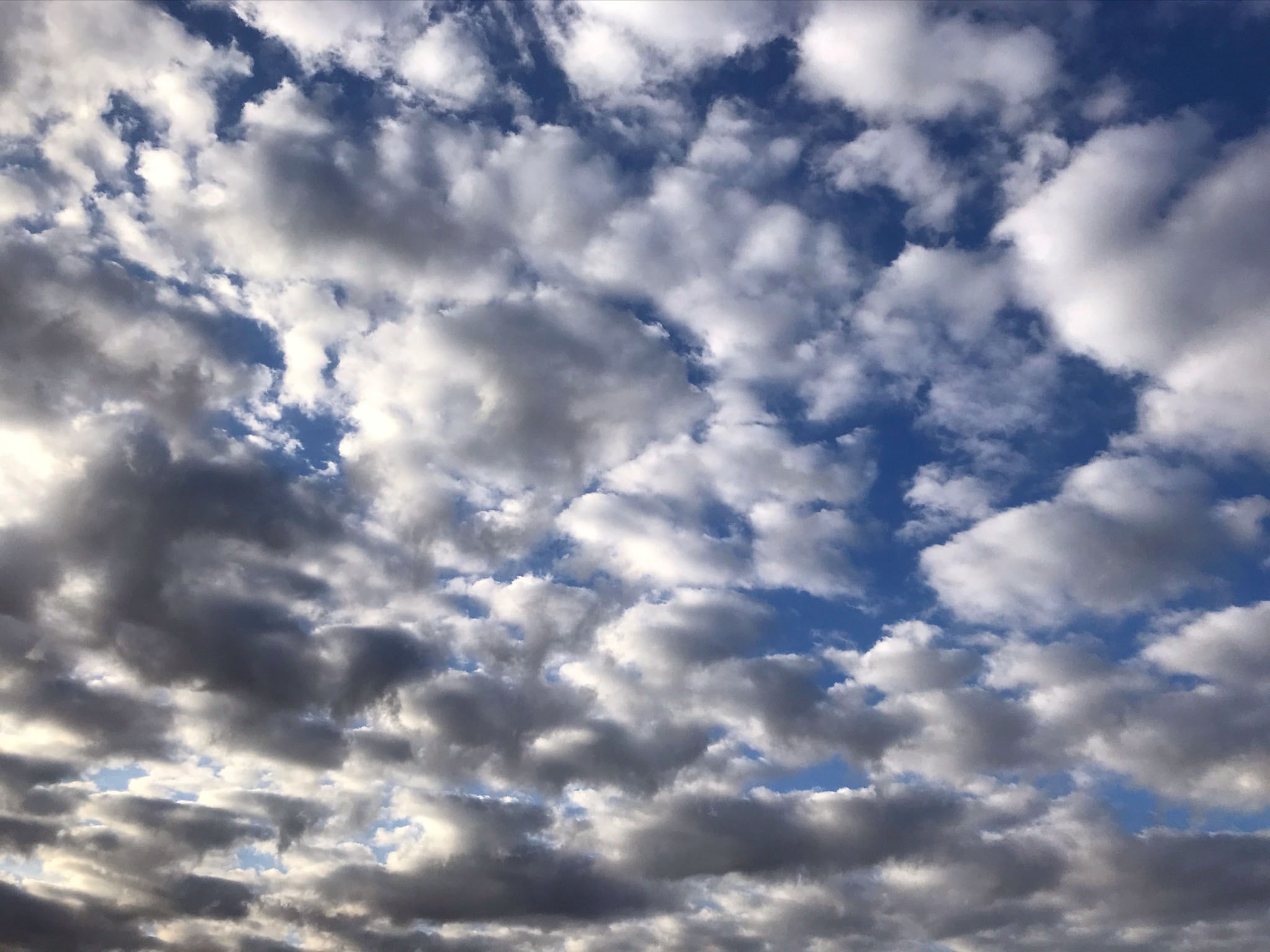
Altocumulus are heaping cumulo-form in mid levels that reveal convection in the atmosphere. altocumulus clouds may appear alone of may align in rows of clouds (grading into stratocumulus clouds). The clouds indicate zones where moist air is ascending, and the clear air between clouds where air is descending as drier air. Altocumulus clouds may grow into a more vertical cloud indicating deep convection, especially during the afternoon or evening, possibly building into cumulonimbus (thunderstorm) clouds. |
 |
 |
 |
| Altocumulus |
Altocumulus |
Altocumulus |
 |
 |
 |
| Altocumulus |
Cumulus congestus becoming altocumulus |
Altocumulus developing an anvil top |
 |
 |
 |
| Cumulus congestus becoming altocumulus clouds |
Cumulus congestus building into altocumulus clouds |
Cumulus congestus building into altocumulus clouds |
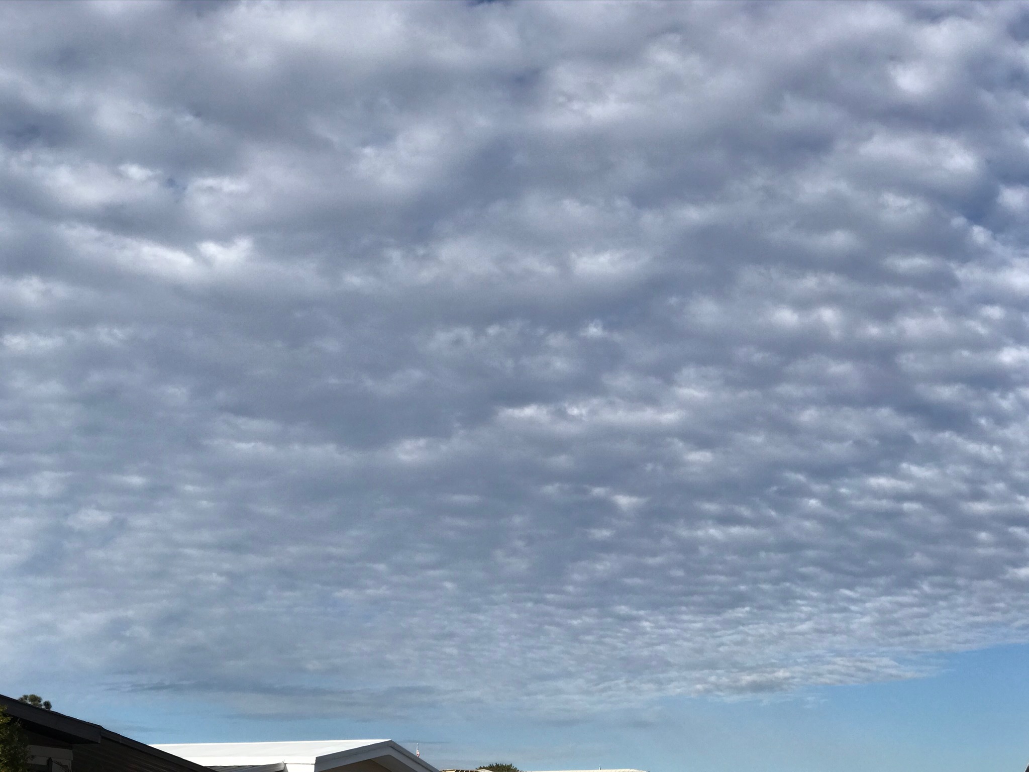
1.7
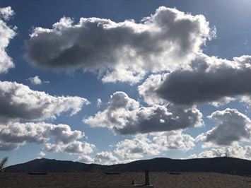
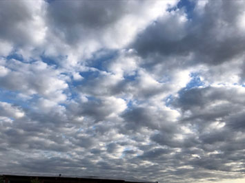
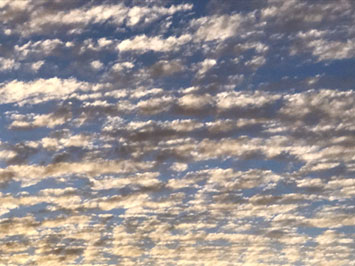
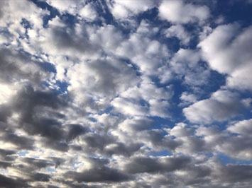
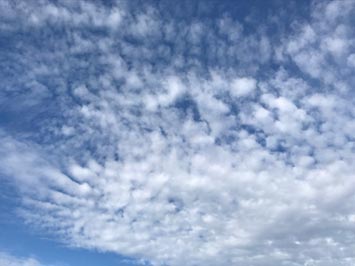
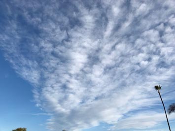
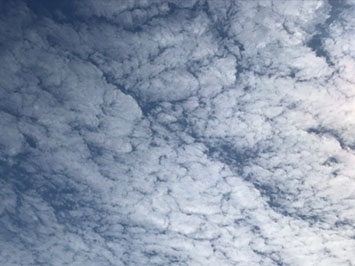
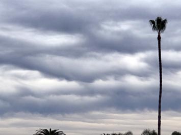
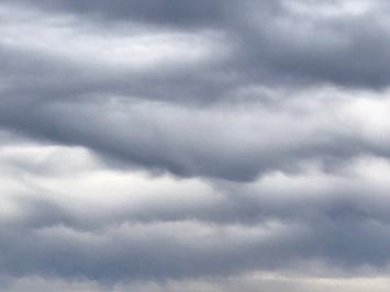
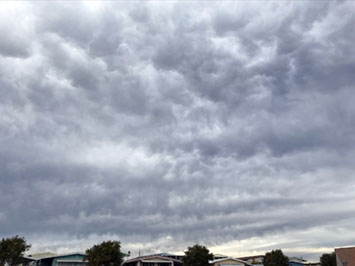
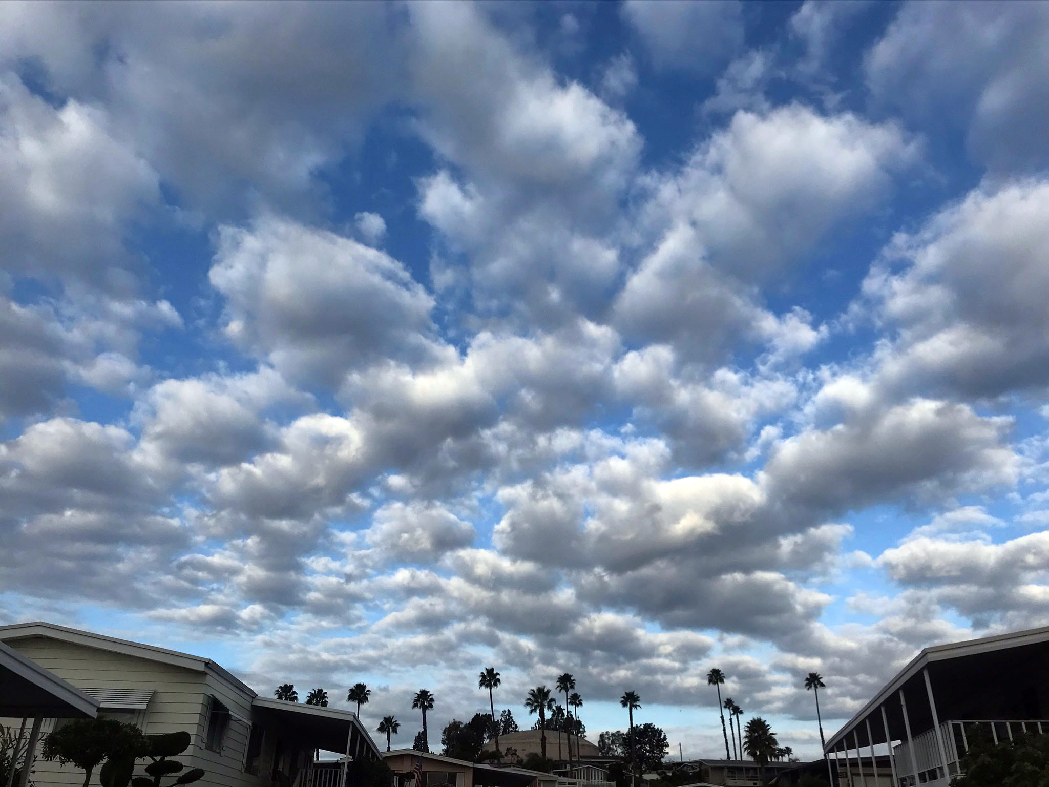
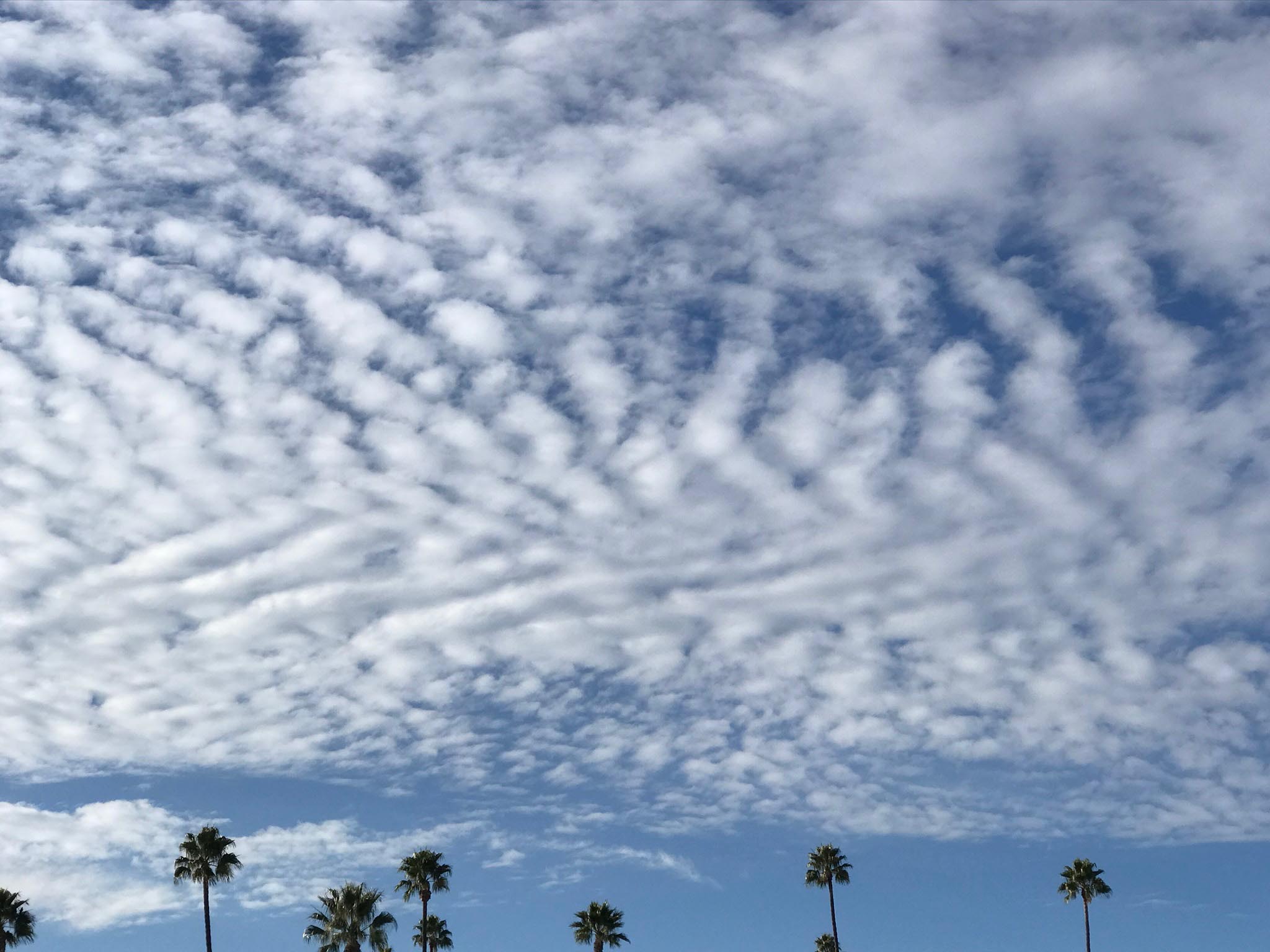
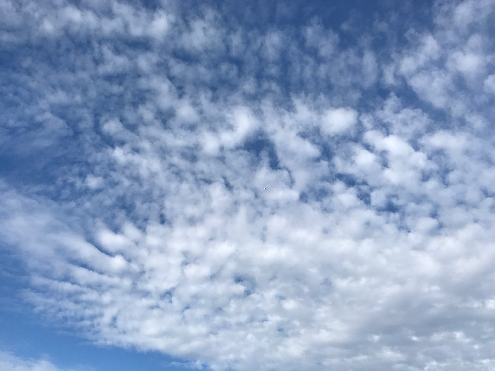
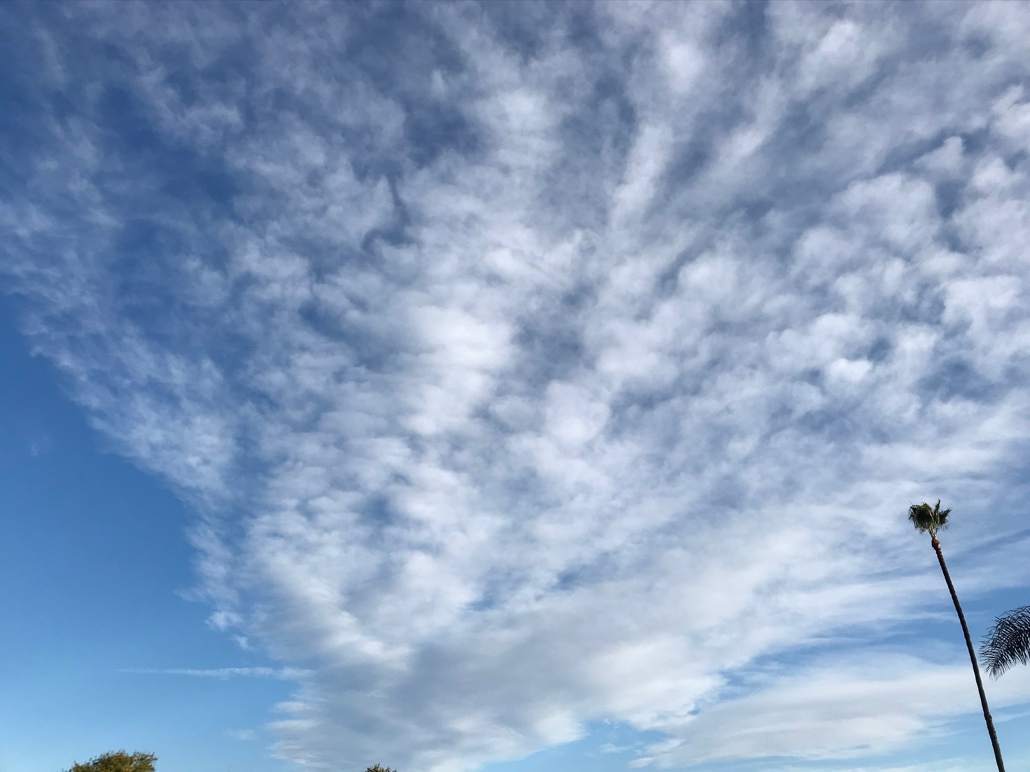
Stratocumulus
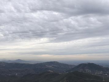
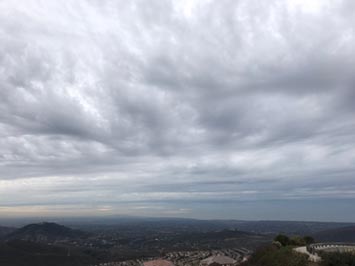
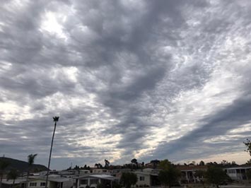
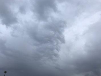
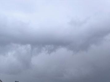
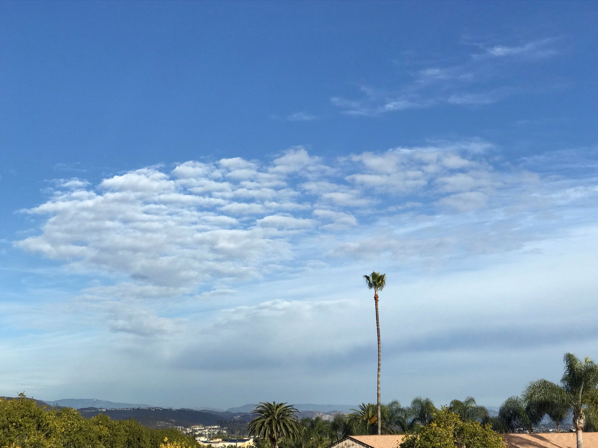
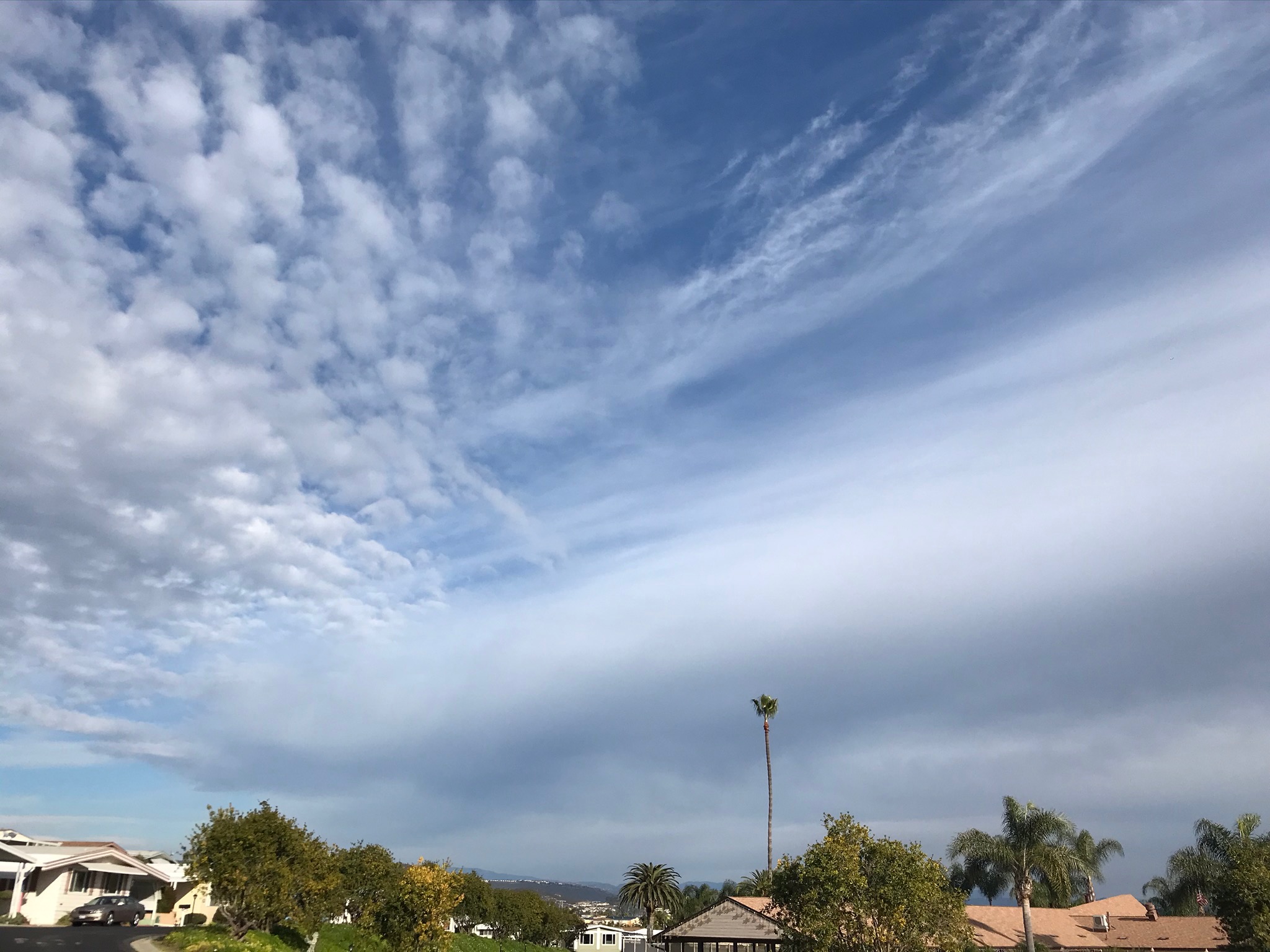
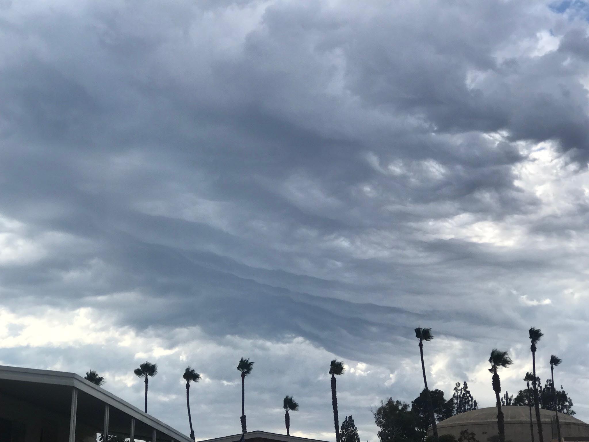
Stratocumulus clouds are hybrids of layered stratus and cumulus that may typically occur at mid-levels, but may be in higher or lower levels. Stratocumulus clouds can appear a low, distinct, gray or whitish patches or cloud clumps with thick and thin areas. The patches often have a rounded appearance that may merge into organized into rolls, rounded masses, or long sheets. These clouds appear frequently either ahead of or behind a frontal system. |
 |
 |
 |
| Stratocumulus at sunset |
Stratocumulus |
Stratocumulus (bordering on cirrostratus) |
 |
 |
 |
| Stratocumulus (with mammatus) |
Stratocumulus |
Stratocumulus |
 |
 |
 |
| Stratocumulus |
Stratocumulus |
Stratocumulus |
1.8
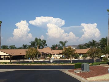
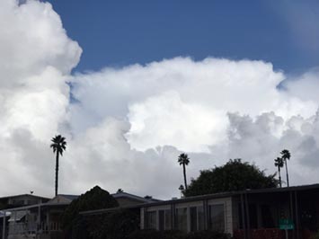
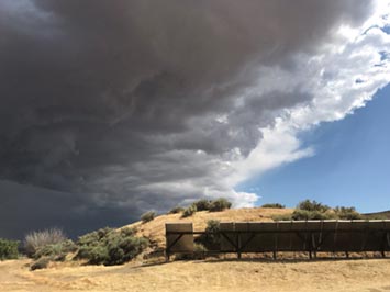
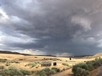
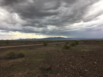
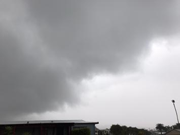
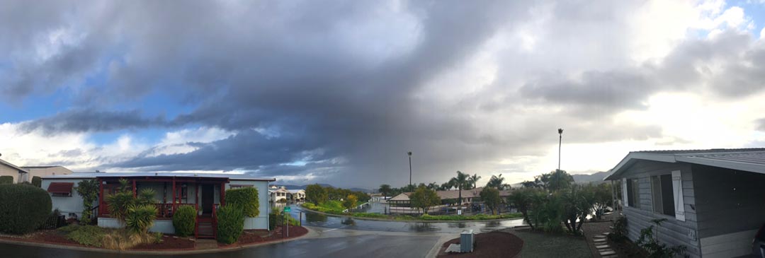
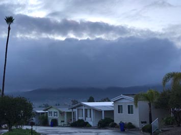
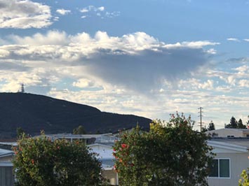
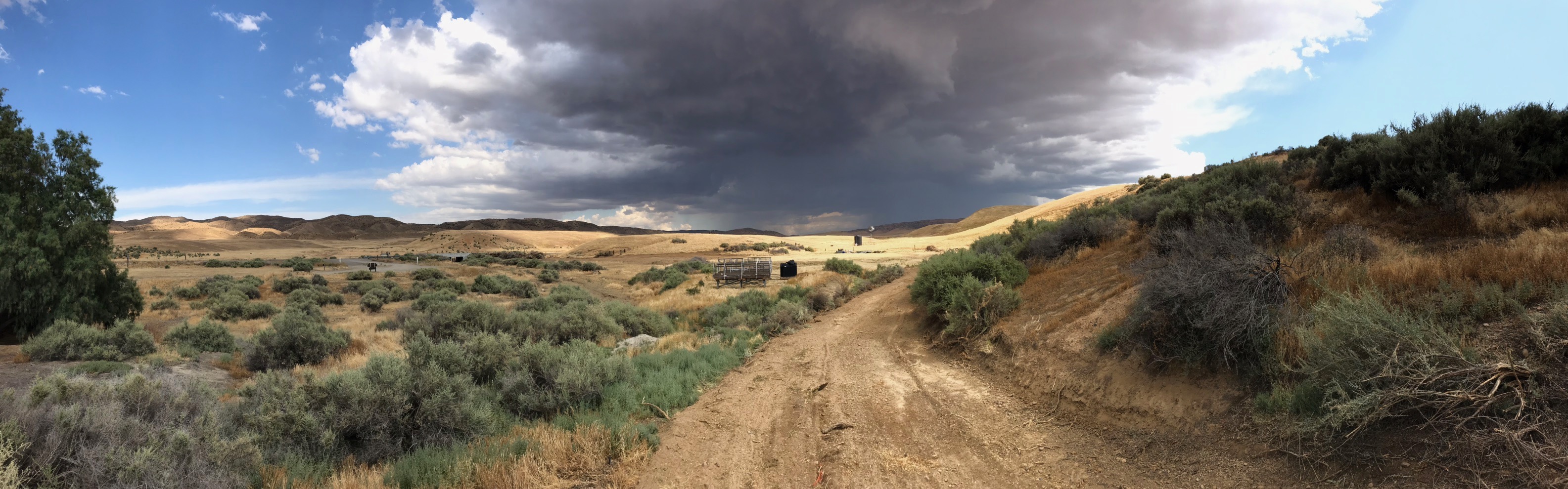
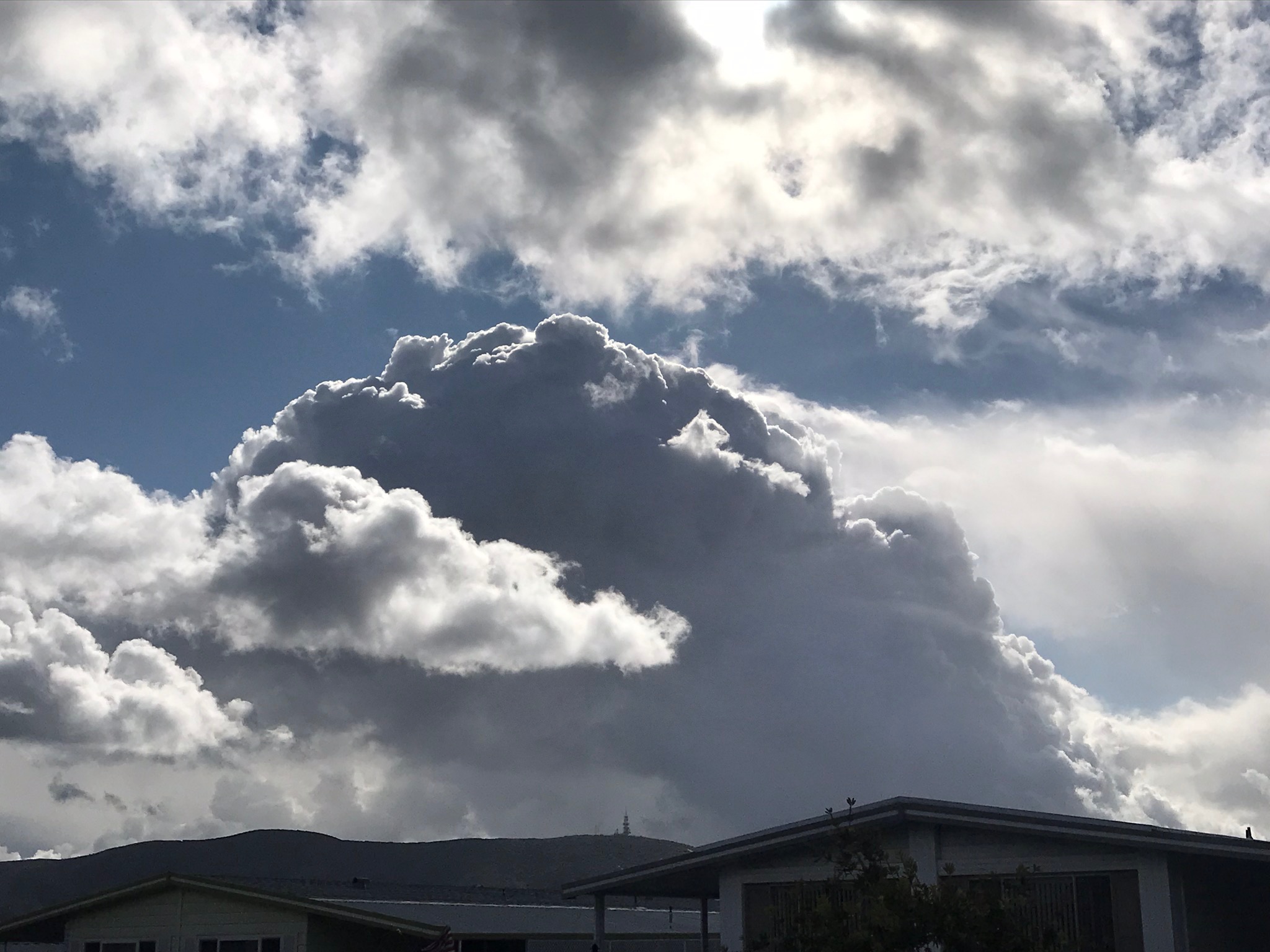
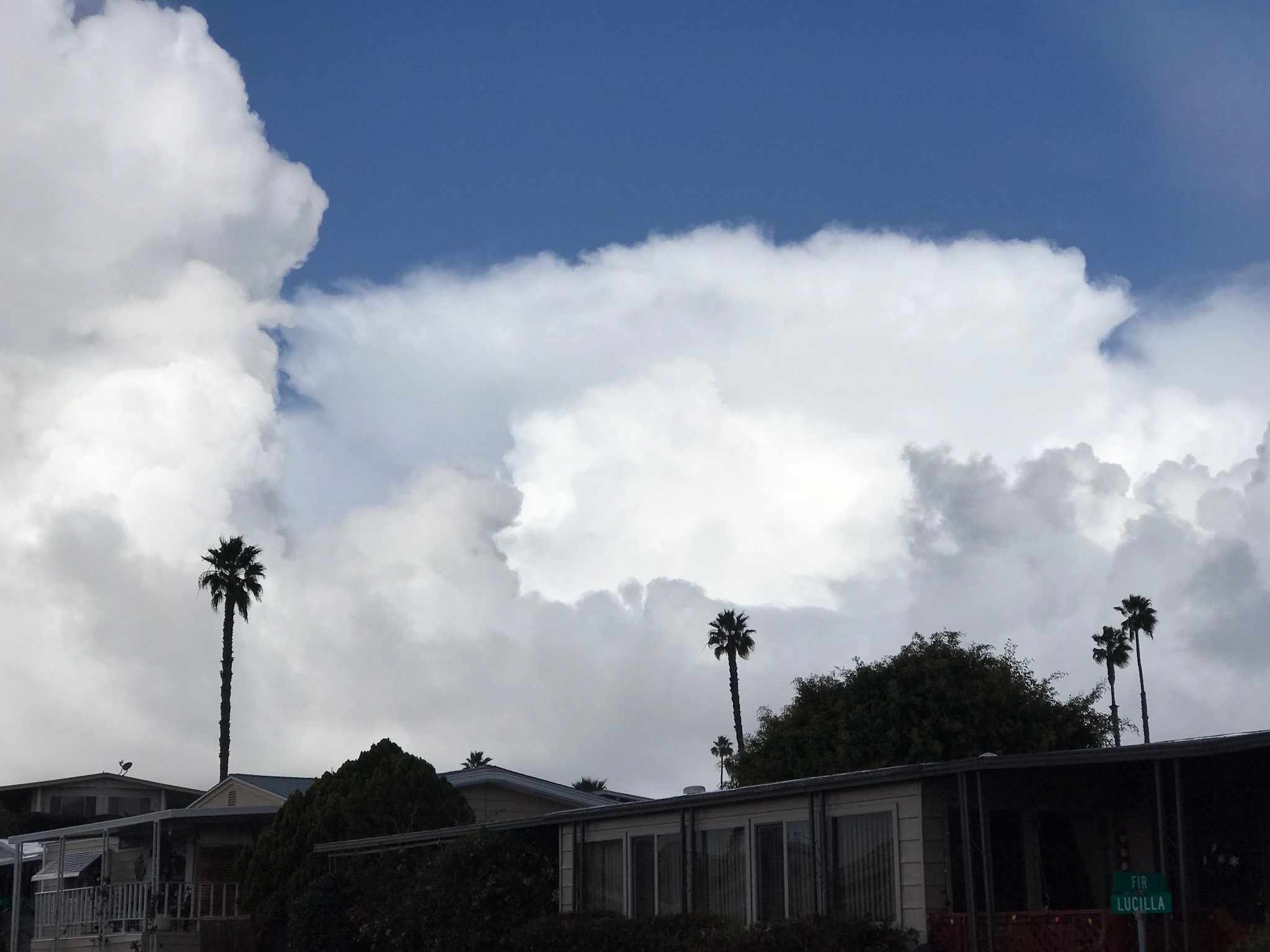
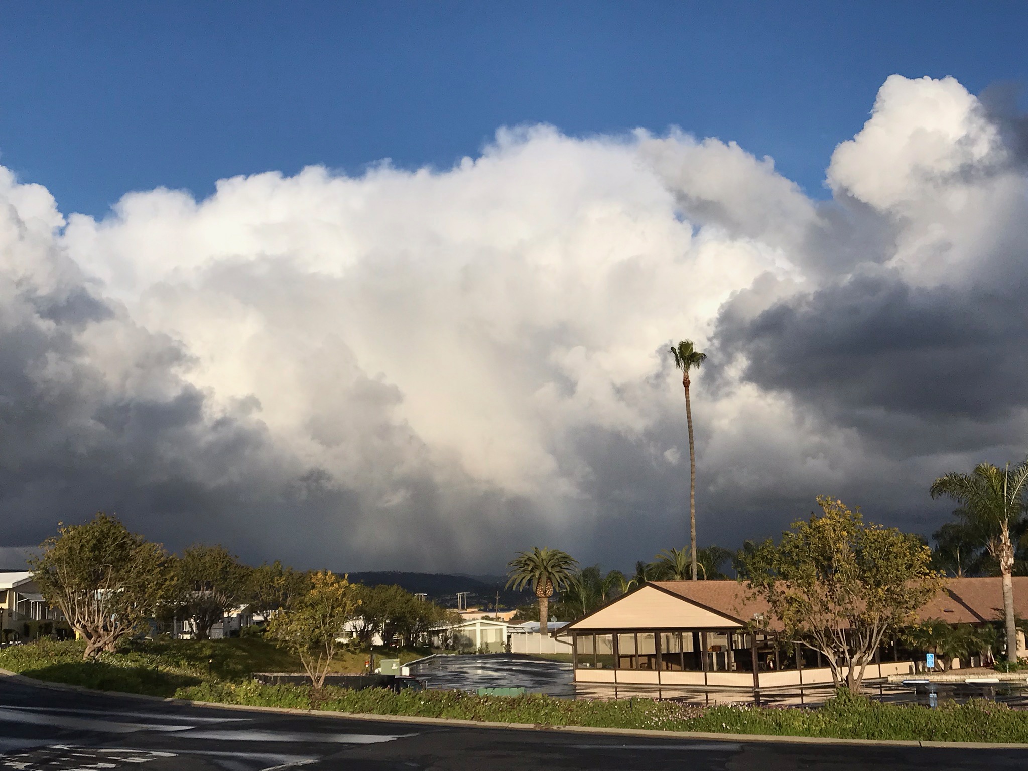
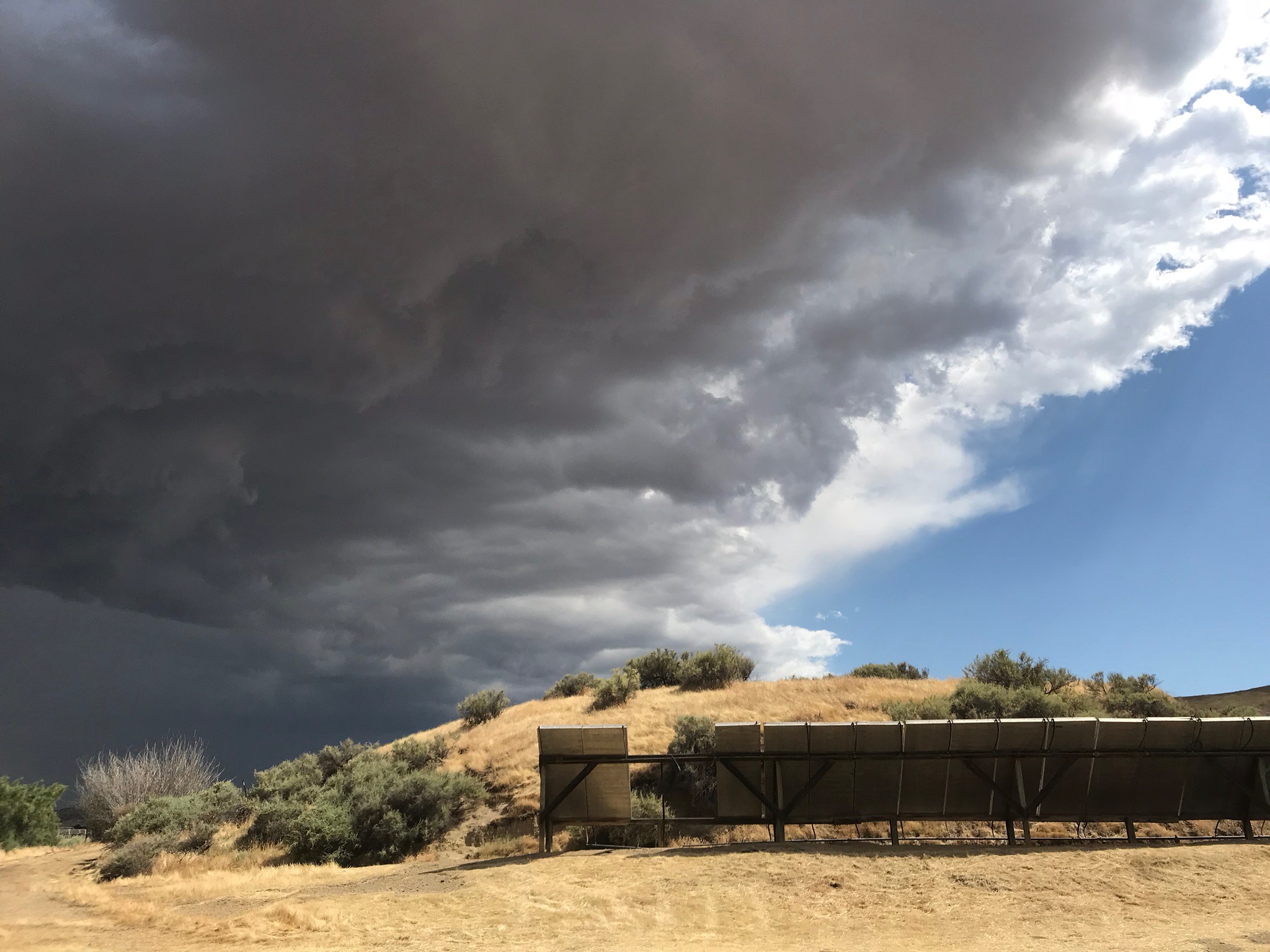
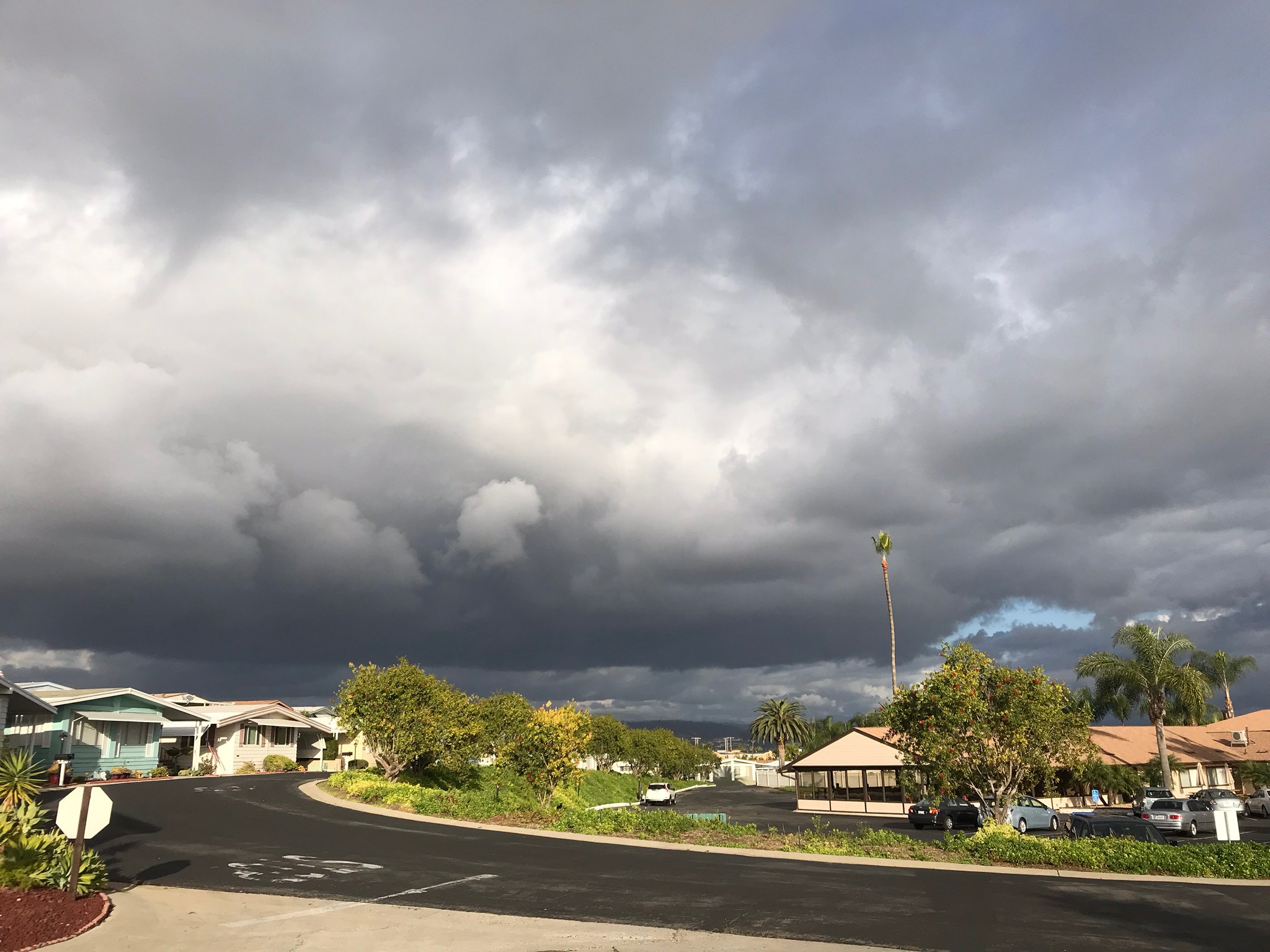
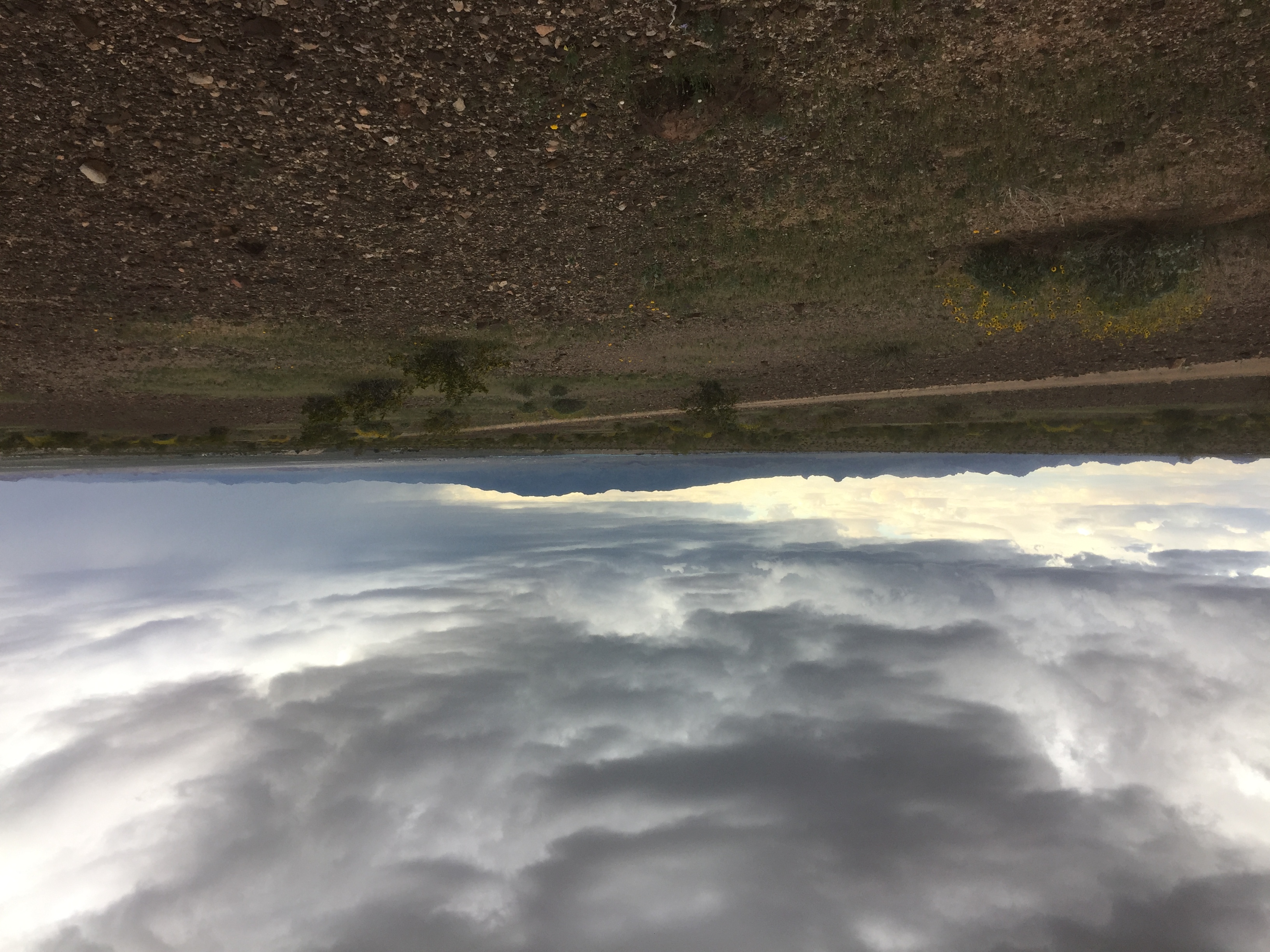
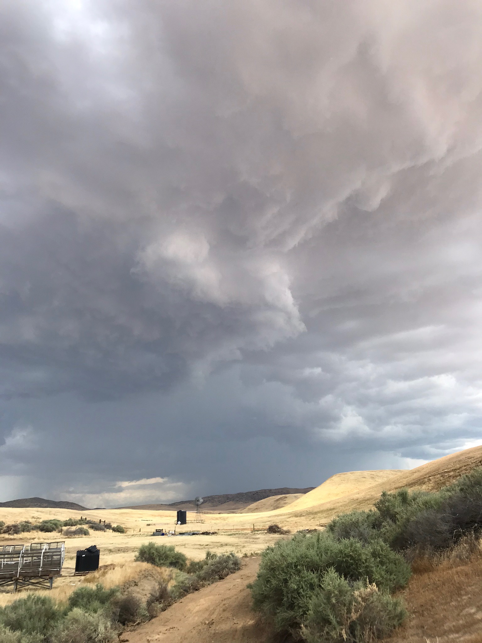
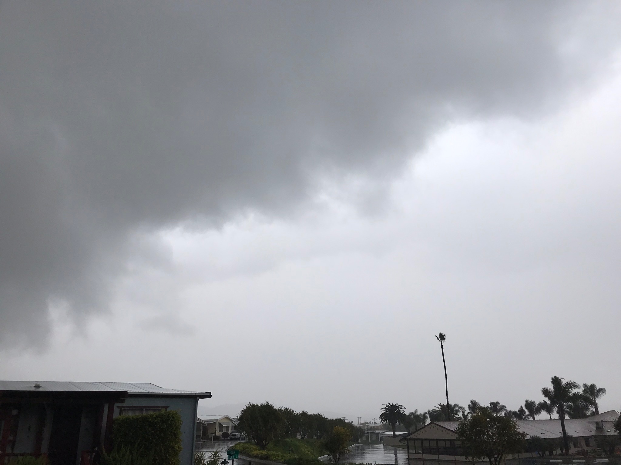
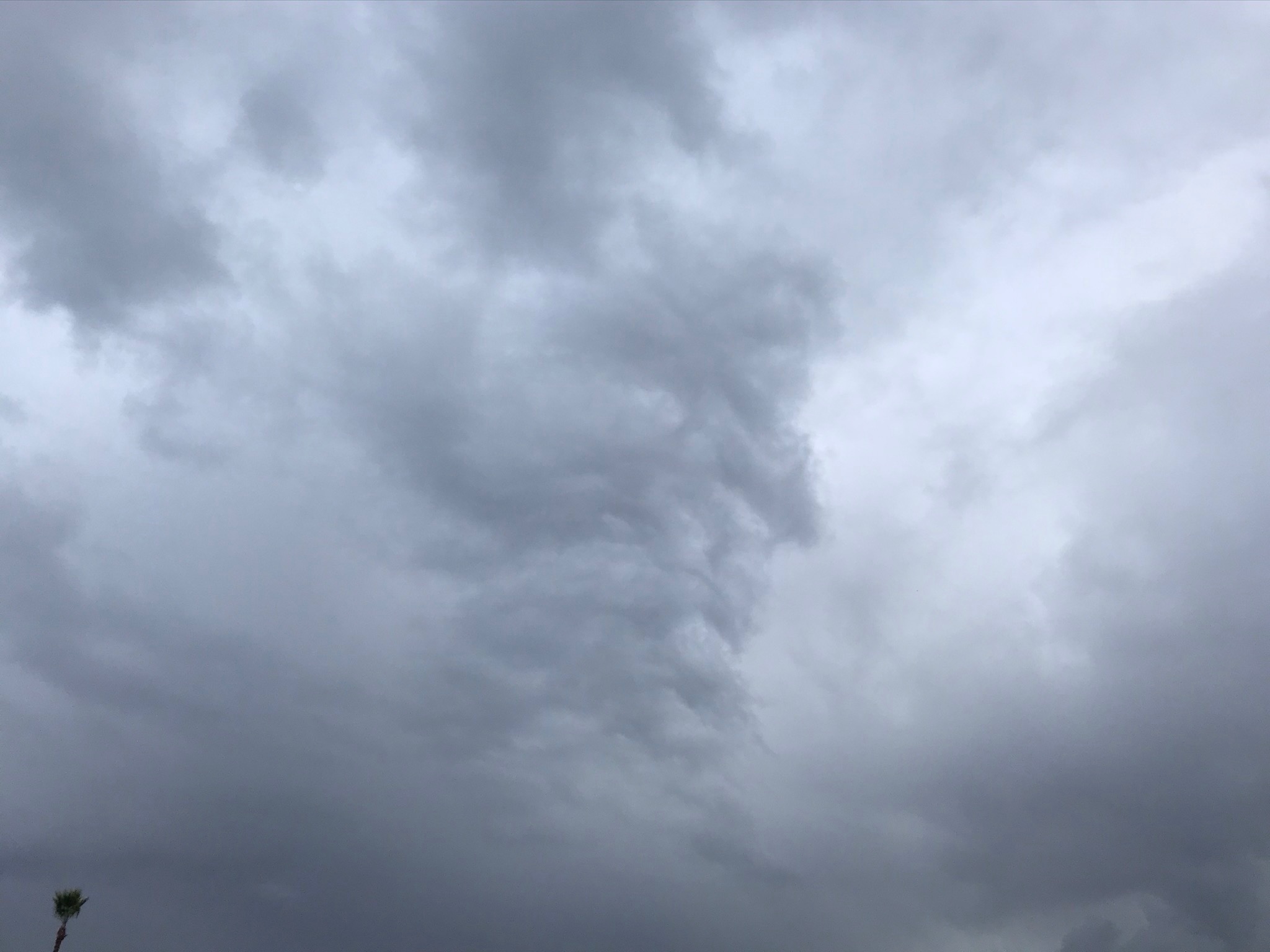
Cumulonimbus
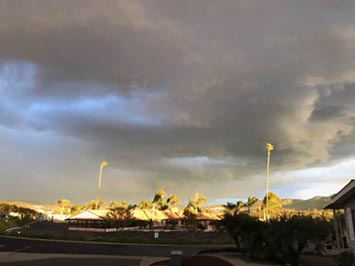
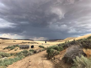
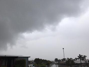
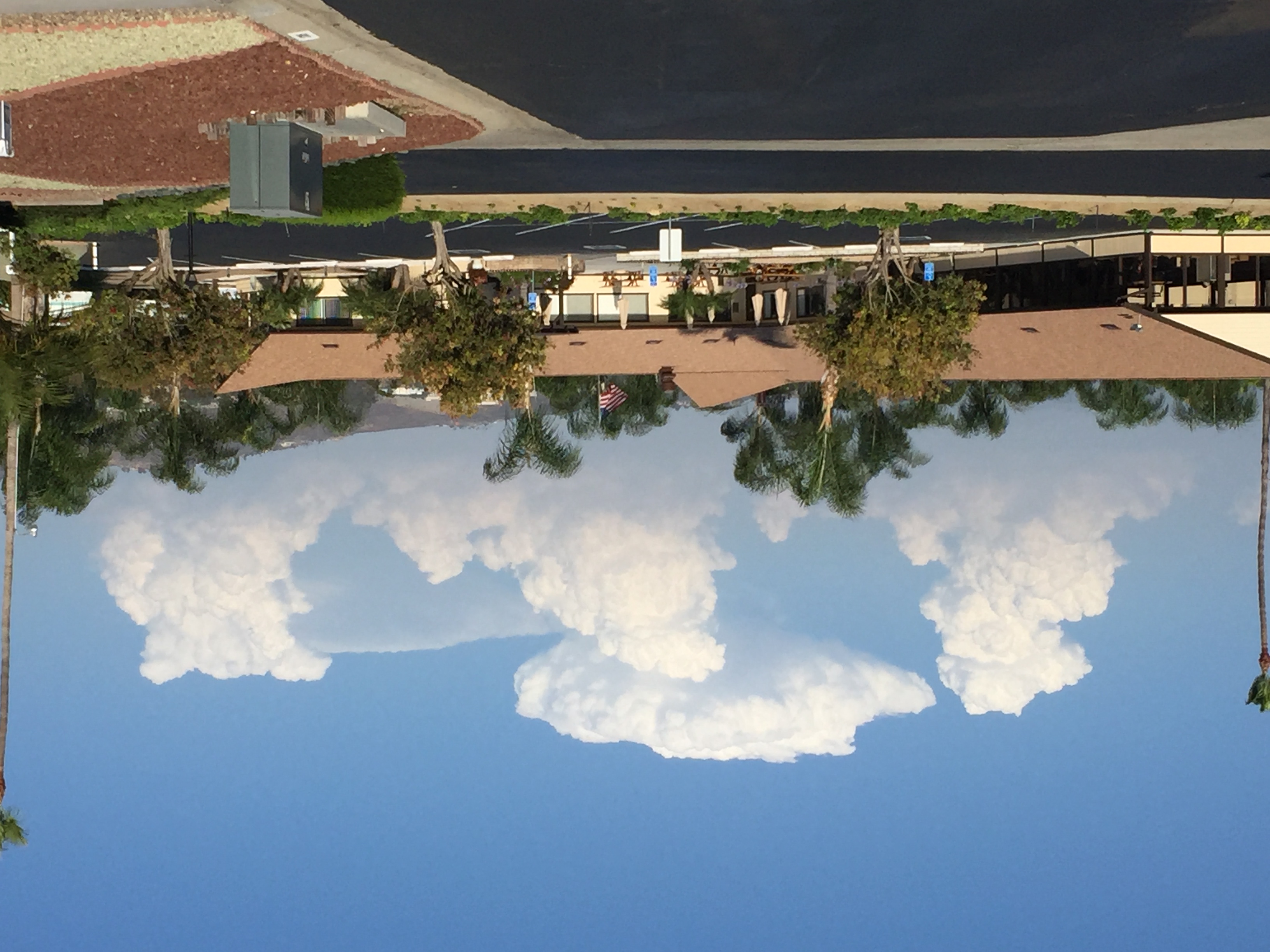
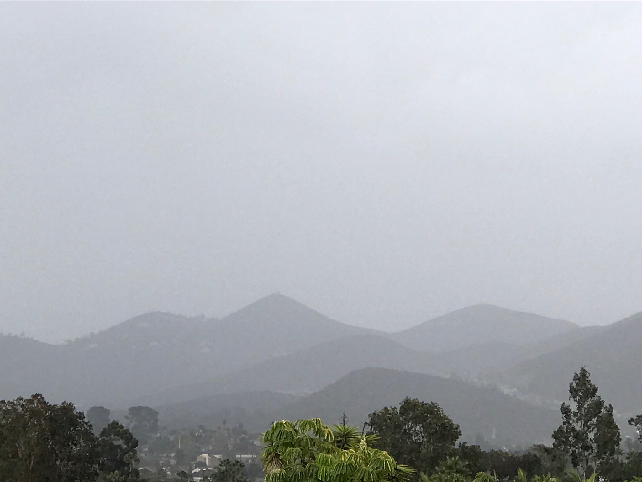
Cumulonimbus is a fancy name for a thunderstorm. However, storms here in coastal California usually don't produce as much lightning and thunder as they do farther inland. Cumulonimbus clouds reflect large-scale instability in the atmosphere caused by large contrasts between moisture content and temperature, winds, and air pressure differences in the atmosphere.
Thunderstorms typically are associated with passing cold fronts, but may be related to local or regional conditions, such as the movement of moist air passing over the local mountain ranges, resulting in orographic lifting in the atmosphere. Storm clouds typically build in a general progression from cumulus to altocumulus, to cumulonimbus, before gradually dissipating as a weather front moves through. Thunderstorm cells typically last only a few minutes to a couple hours before dissipating, moving on, or being replaced by more storm cells moving in as a large frontal system moves through. |
 |
| Cumulonimbus with gust front (thunderstorm near Mercy Hot Springs, CA) |
 |
 |
 |
| Altocumulus becoming cumulonimbus |
Cumulonimbus congestus (with anvil top) |
Altocumulus congestus becoming cumulonimbus |
 |
 |
 |
| Cumulonimbus praecipitatio |
Cumulonimbus praecipitatio |
Cumulonimbus praecipitatio |
 |
 |
 |
| Cumulonimbus praecipitatio |
Altocumulus becoming cumulonimbus |
Altocumulus congestus becoming cumulonimbus |
 |
 |
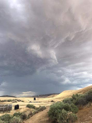
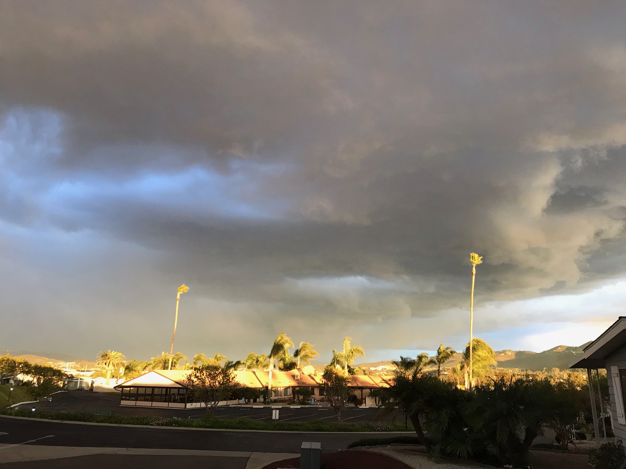
A large thunderstorm cell (or supercell) with a developing wall cloud, heavy down pours in the distance associated with this storm. This storm produced an abundance of lightning, strong wind justs, and local flooding, and lasted about 2 hours before dissipating. (Mercy Hot Springs, CA) |
| Cumulonimbus with wall developing cloud |
Cumulonimbus praecipitatio |
 |
 |
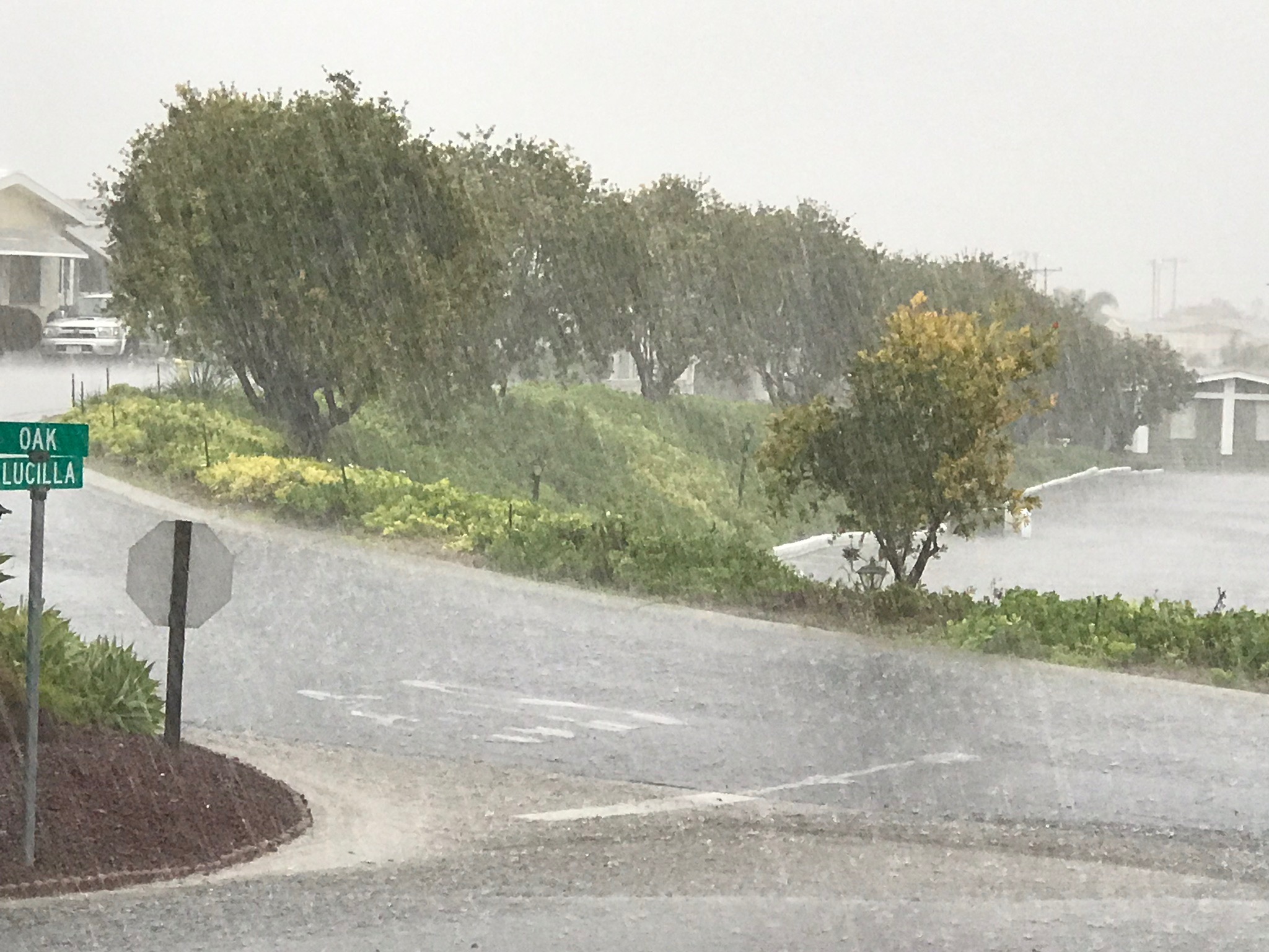
| Gust front with rain of an approaching thunderstorm |
Shelf cloud (gust front) in a thunderstorm |
 |
| Cumulonimbus praecipitatio (thunderstorm) over San Marcos, CA (with mix of stratus, cumulus, and stratocumulus clouds) |
1.9
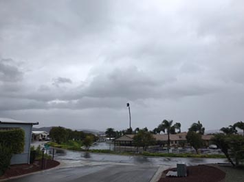
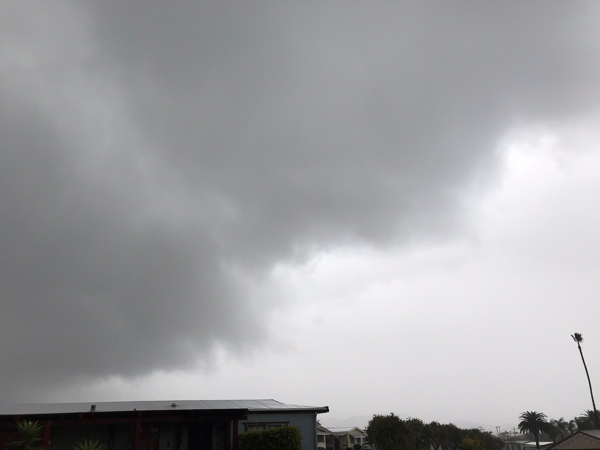
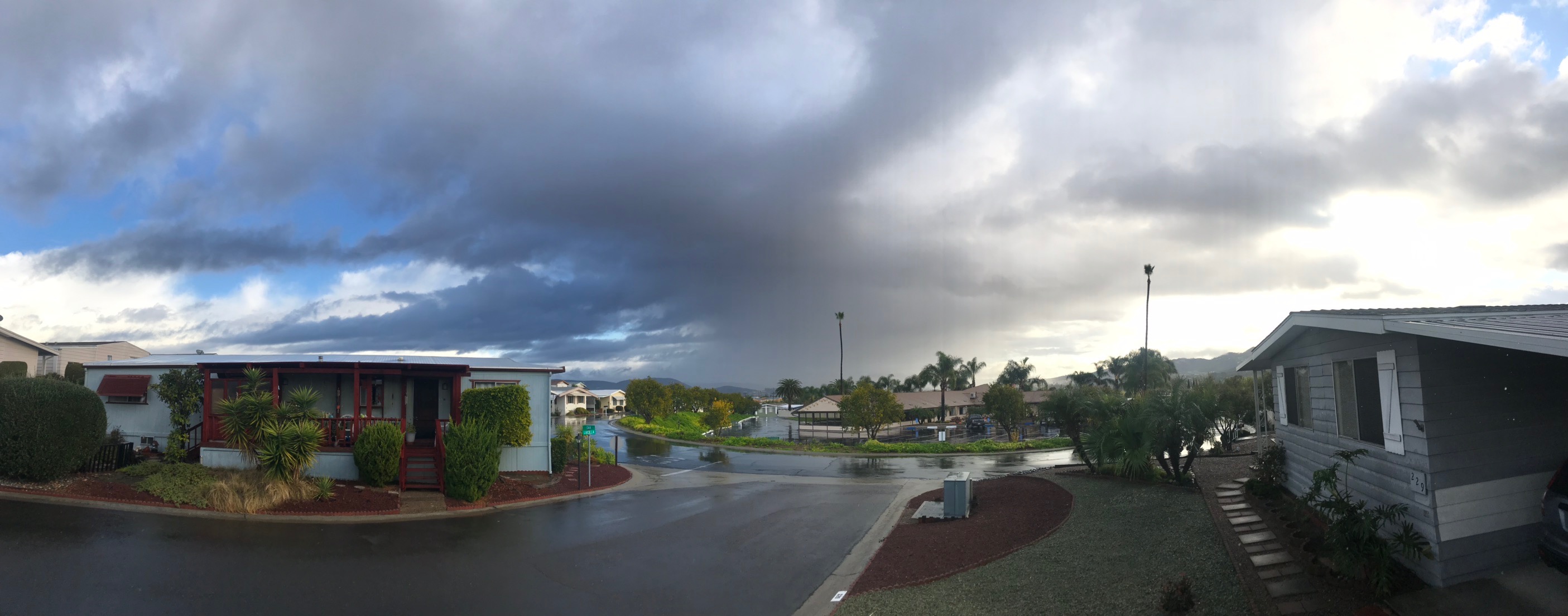
Nimbostratus
Nimbostratus are multi-level rain clouds, but may extend into higher and lower levels.
They appear gray, often dark, amorphous or uniform cloud and usually produces continuous rain, snow, or sleet but no lightning or thunder. Nimbostratus clouds usually produces precipitation over a wide area. |
 |
 |
 |
| Nimbostratus praecipitatio |
Nimbostratus (fog obscuring mountain top) |
Nimbostratus (with weather front) |
 |
 |
 |
| Nimbostratus praecipitatio |
Altocumulus duplicatus |
Nimbostratus gust front (with scud) |
1.10
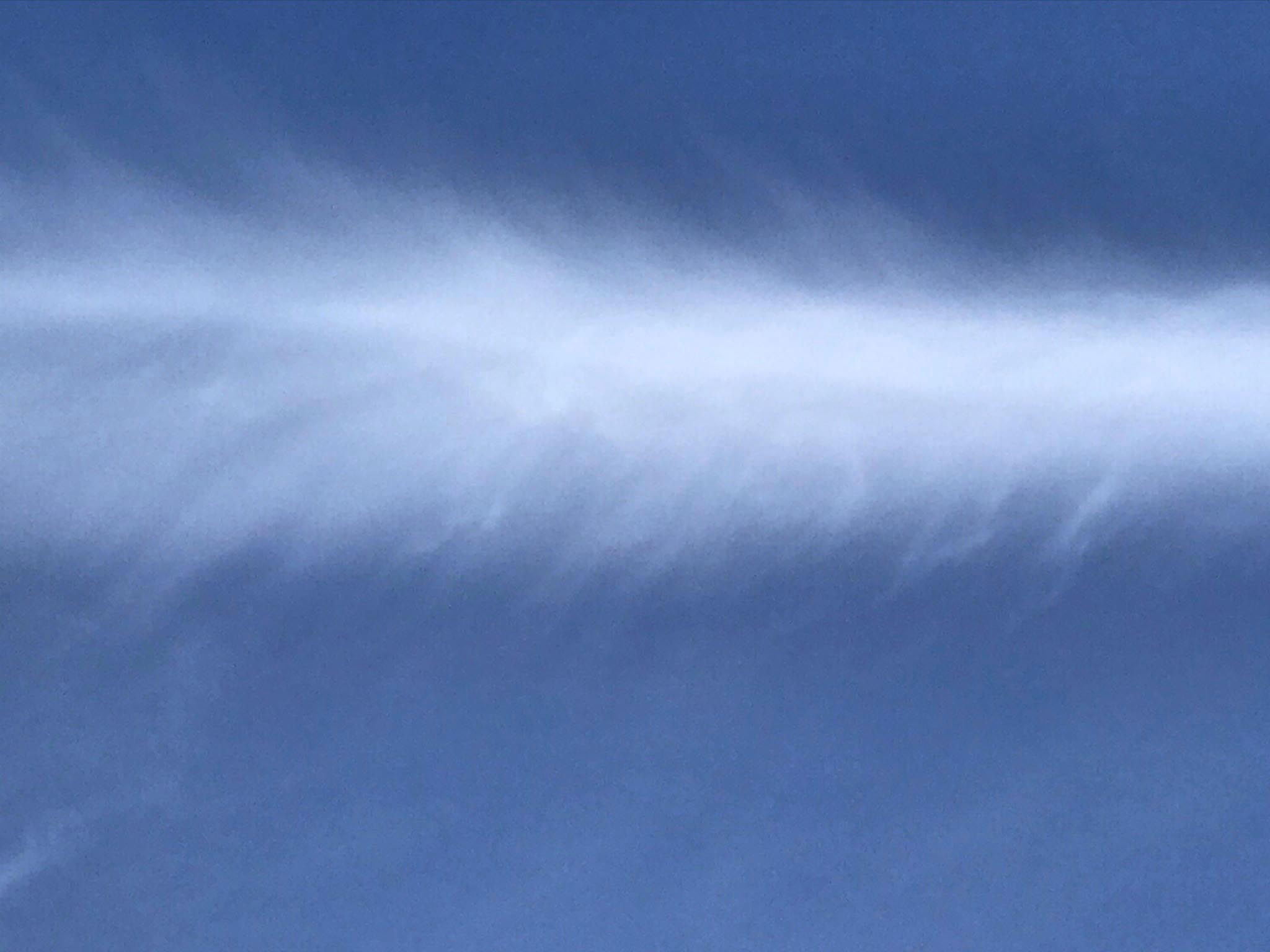
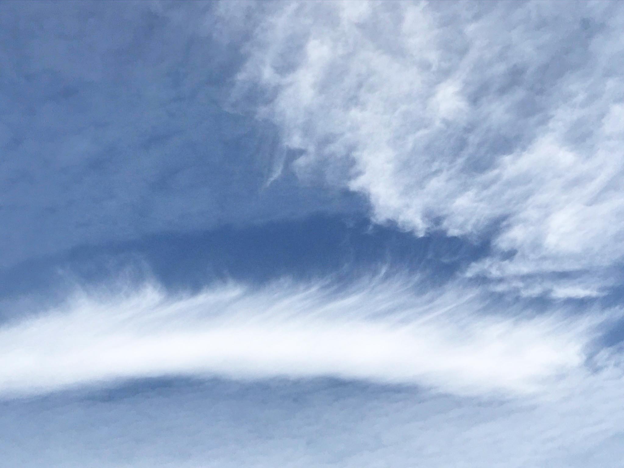
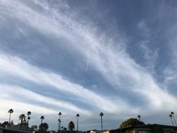
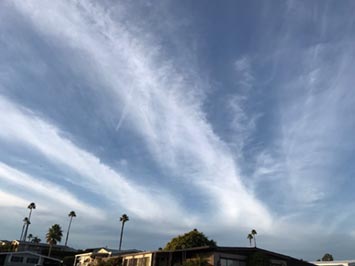
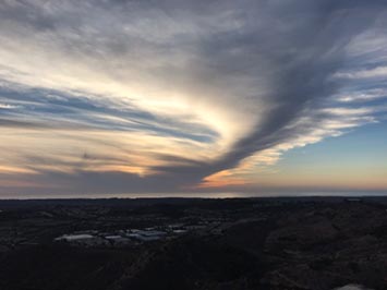
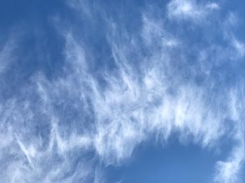
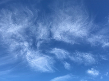
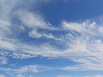
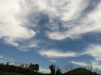
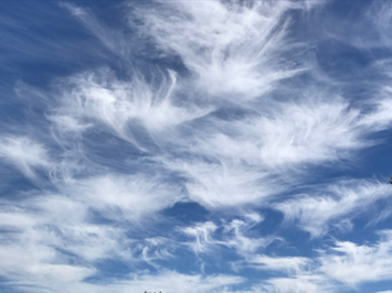
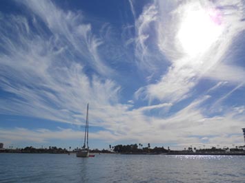
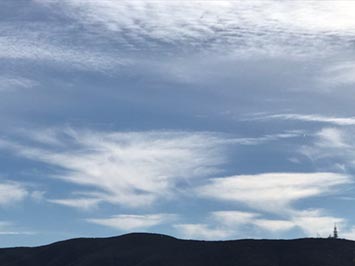
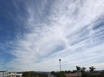
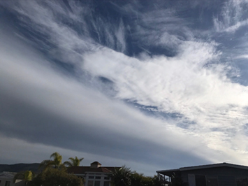
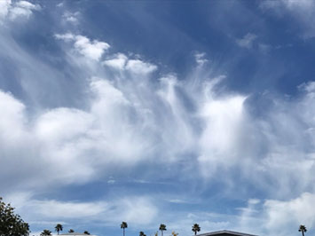
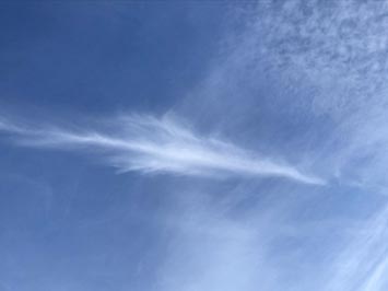
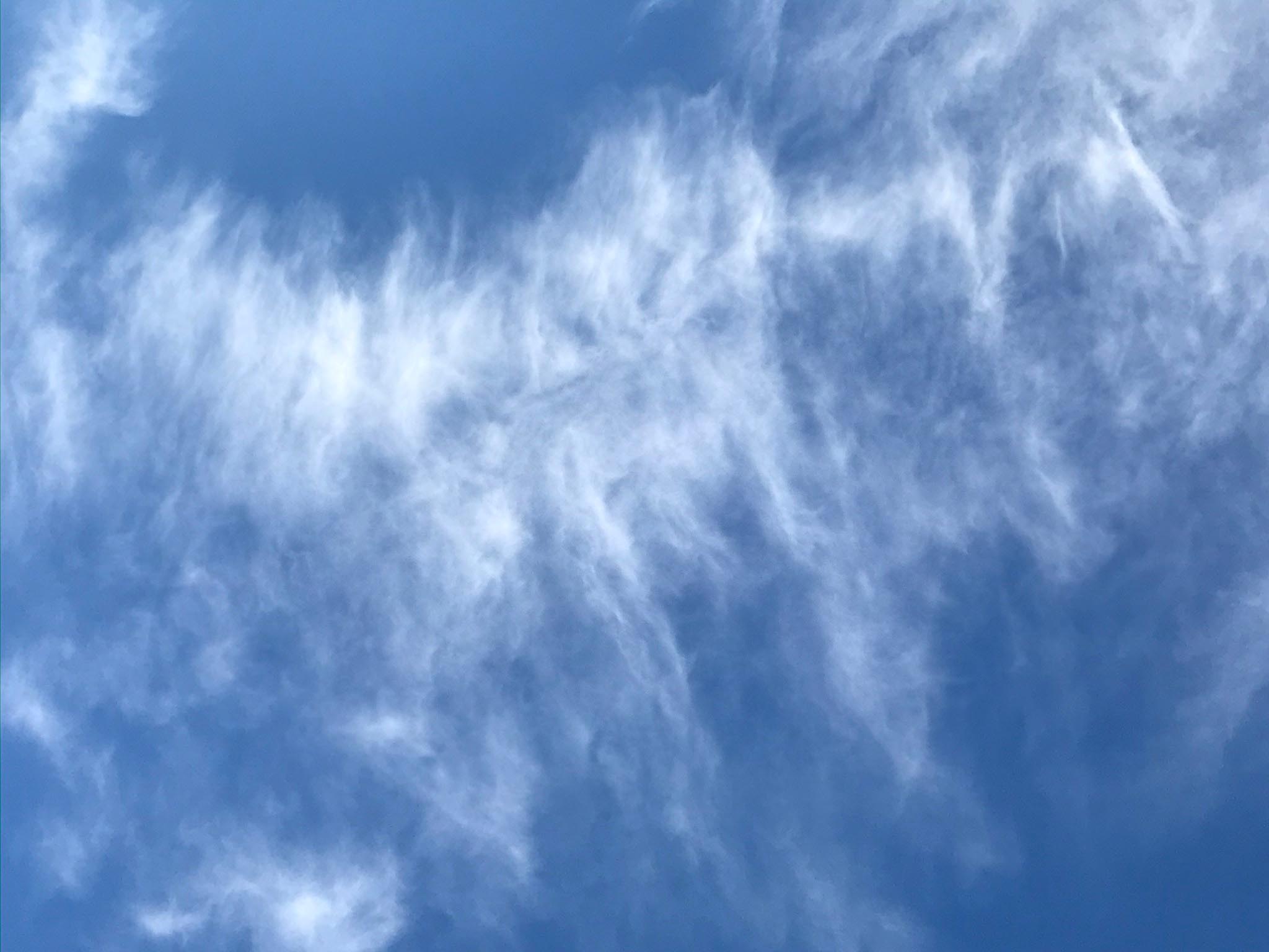
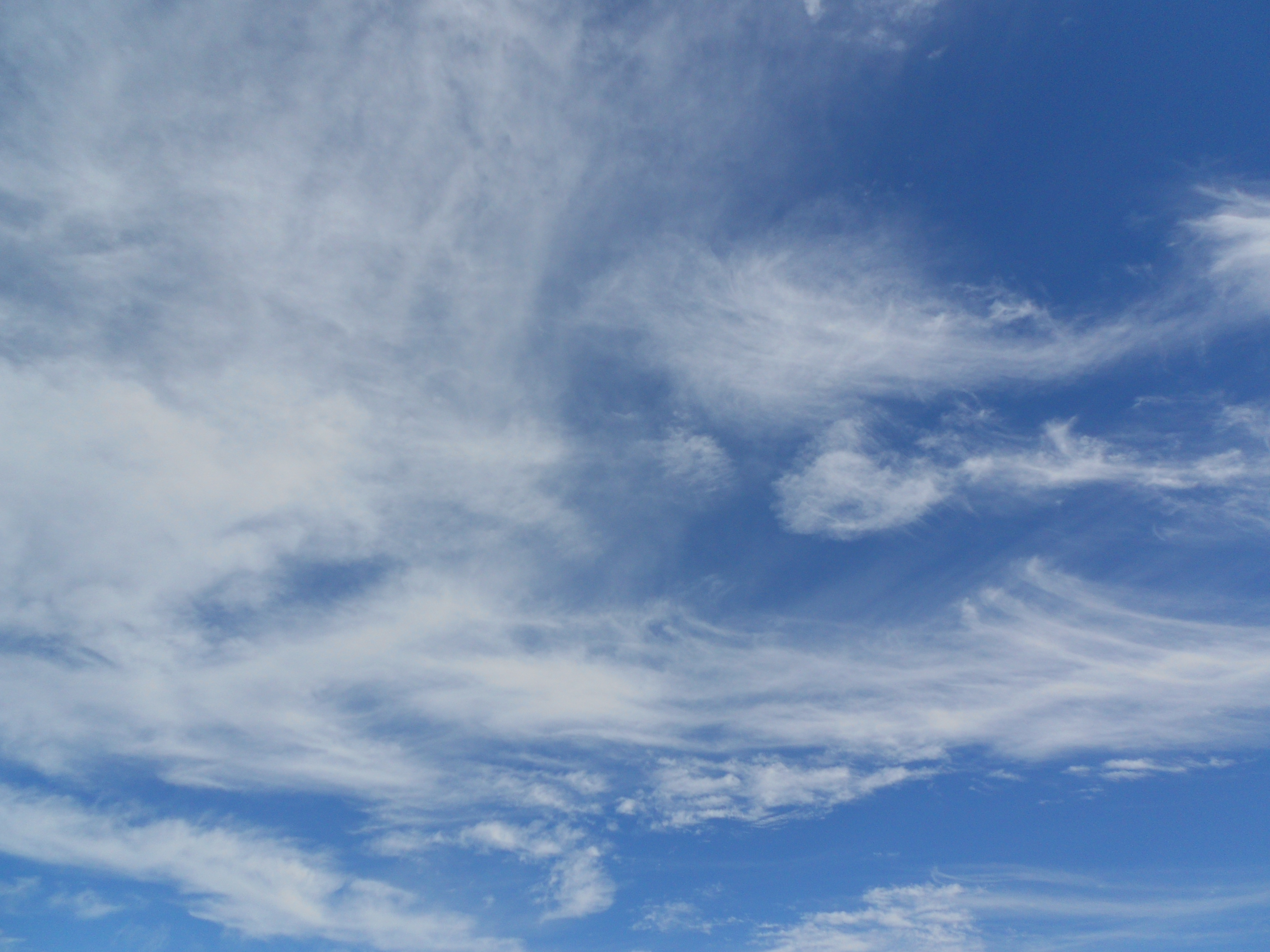
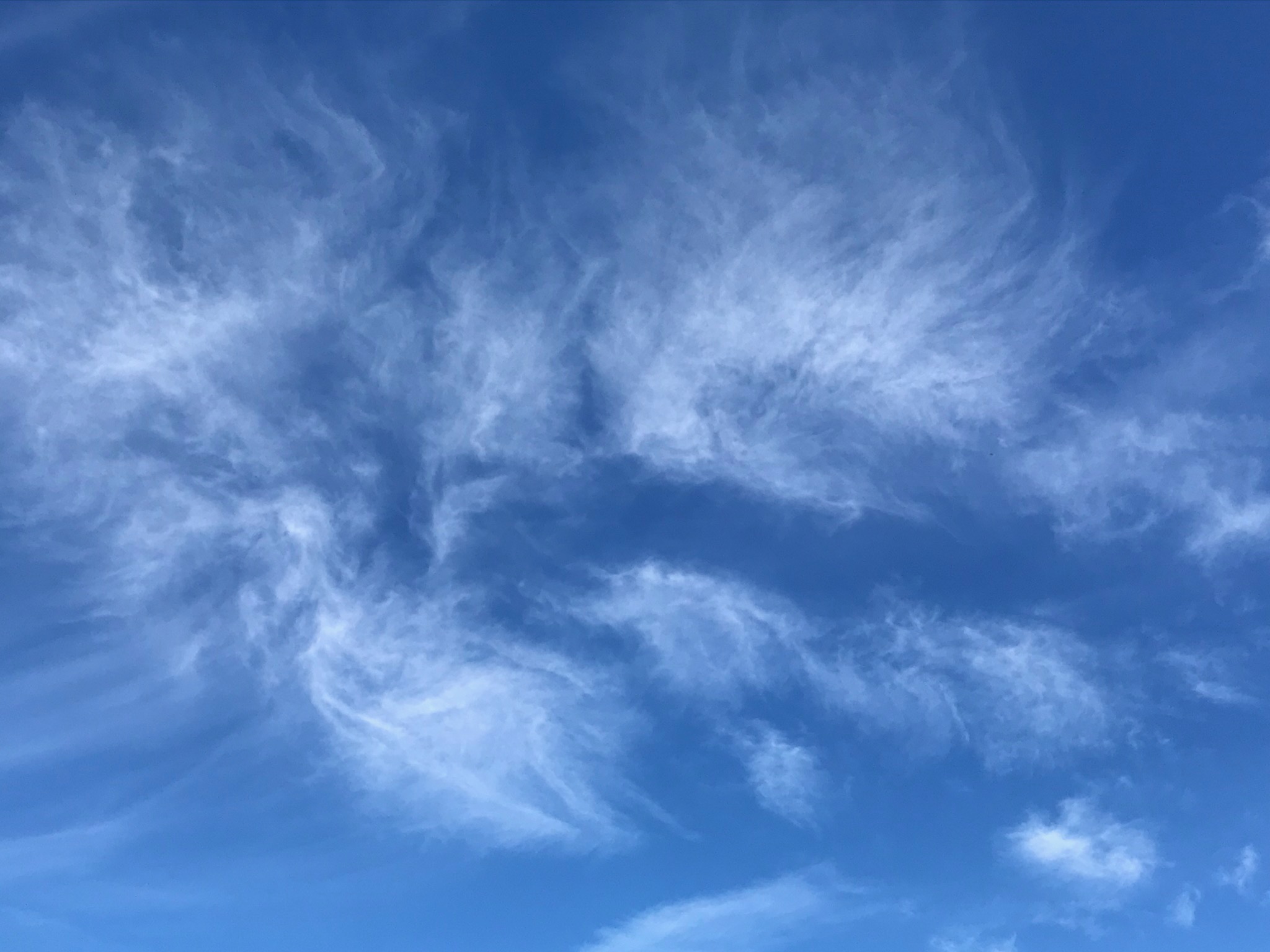
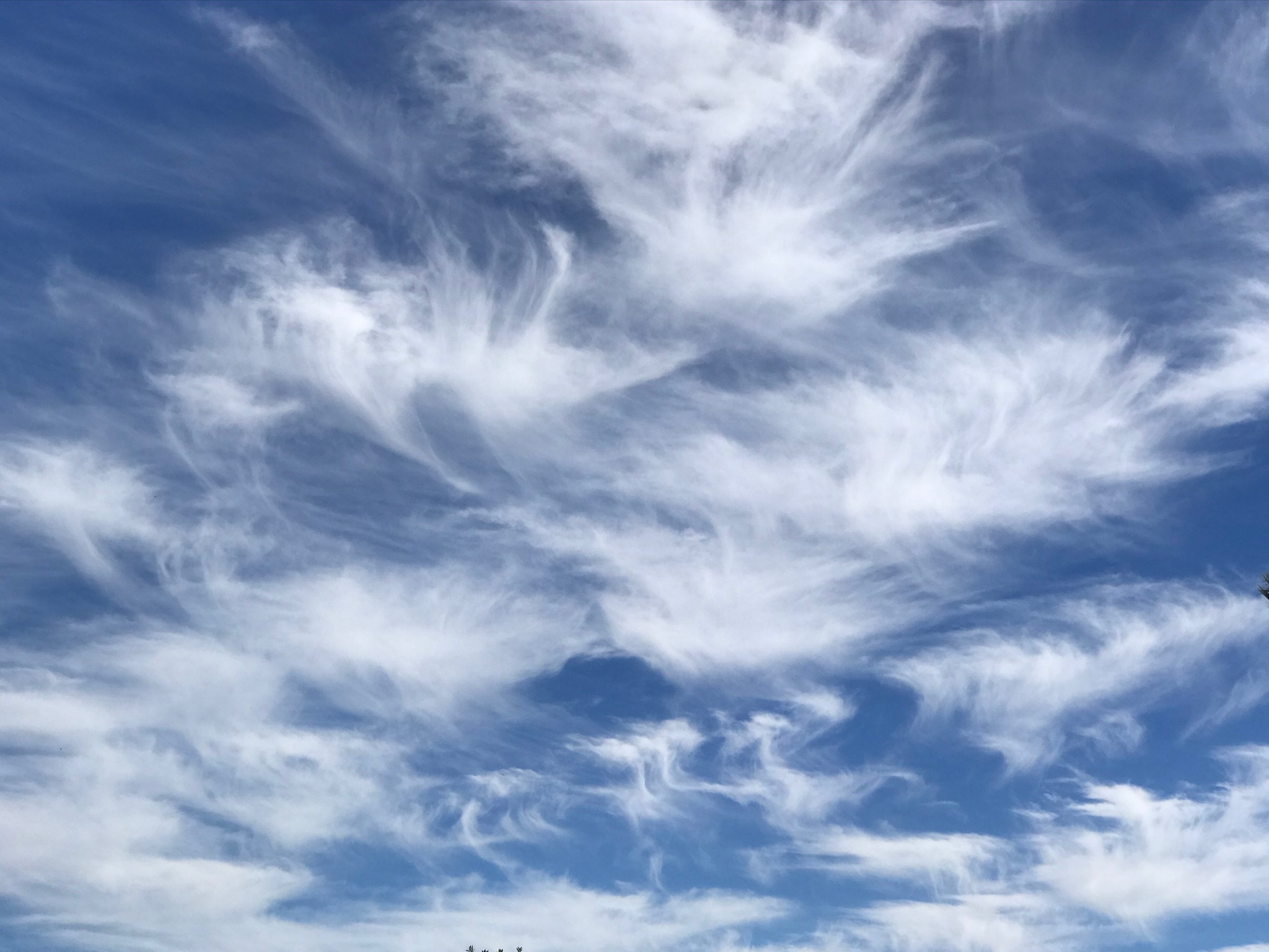
Cirrus
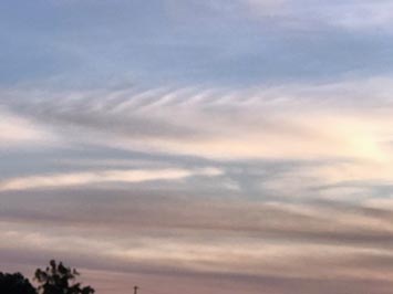
Cirrus are high-level clouds that are generally characterized by thin, wispy or feather-like strands. Cirrus gets its name from the Latin word cirrus, meaning a ringlet or curling lock of hair. From the surface of Earth, cirrus typically appears white, or a light gray in color. They are typically quite scenic and make exceptional clouds to view at sunset. They frequently merge or appear with other upper level clouds (cirrocumulus and cirrostratus) and may be associated with distant, but advancing warm fronts. |
Cirrus radiatus back lit by late afternoon sunlight.
This cirrus cloud developed the evening before nimbostratus clouds moved in the next morning.
|
 |
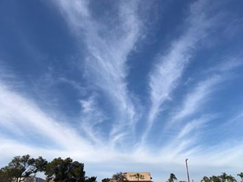 |
| Cirrus fibratus |
Cirrus fibratus |
 |
 |
| |
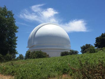
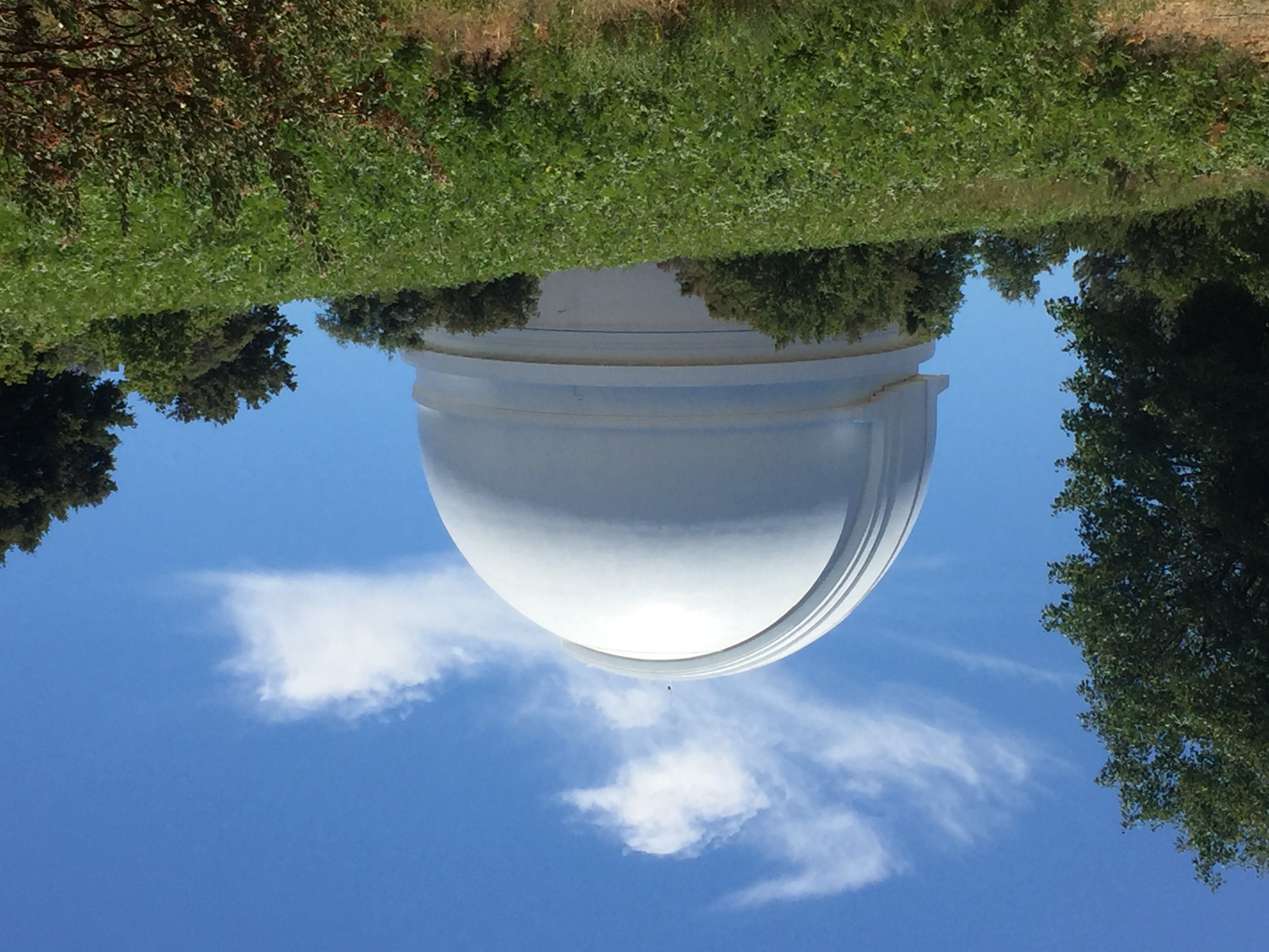
Cirrus uncinus (displaying virga) |
Cirrus uncinus over Palomar Observatory |
 |
 |
 |
| Cirrus fibratus |
Cirrus fibratus |
Cirrus radiatus with distant altostratus |
 |
 |
 |
| Cirrus (mixed species) |
Cirrus uncinus |
Cirrus uncinus |
 |
 |
 |
| Cirrus intortus |
Cirrus intortus |
Cirrus intortus |
 |
 |
 |
| Cirrus uncinus |
Cirrus (mixed species) |
Cirrus floccus |
 |
 |
 |
| Cirrus uncinus, translucidus |
Cirrostratus with cirrus floccus (in distance) |
Cirrus floccus becoming altocumulus with virga |
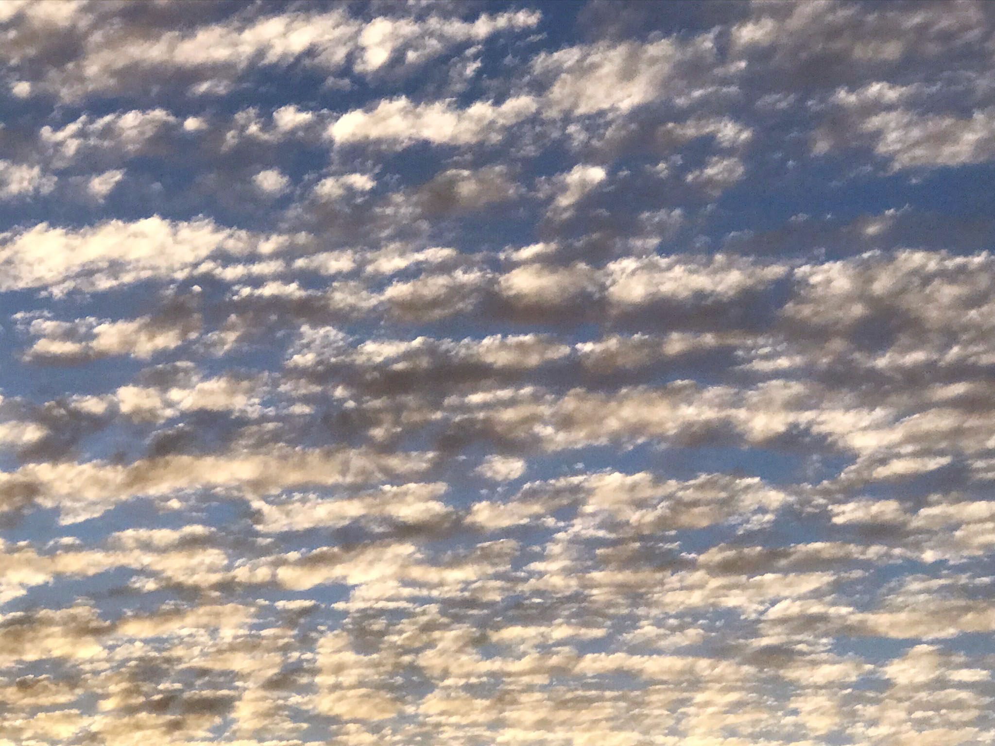
1.11
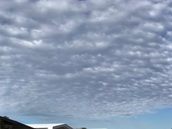
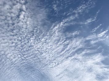
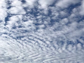
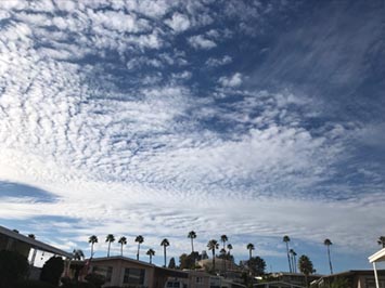
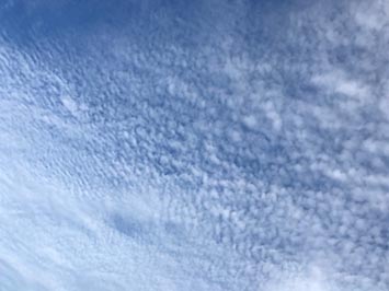
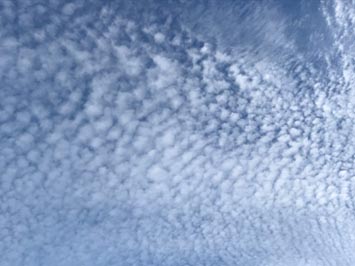
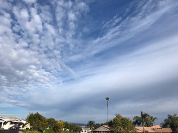
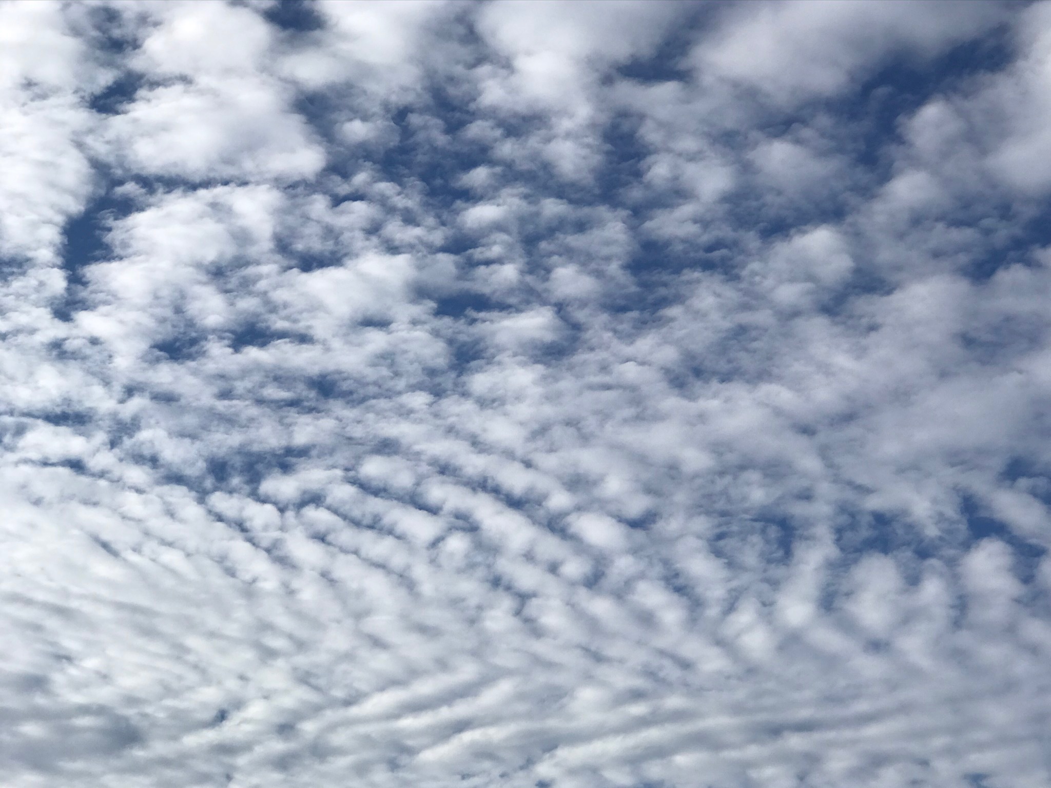
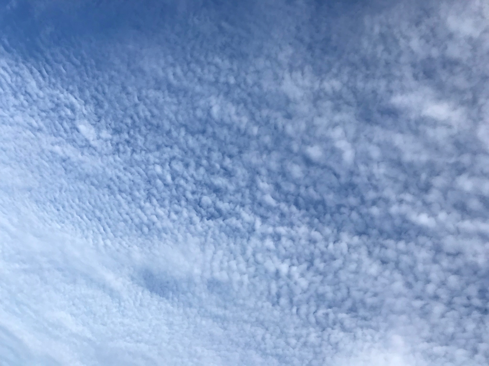
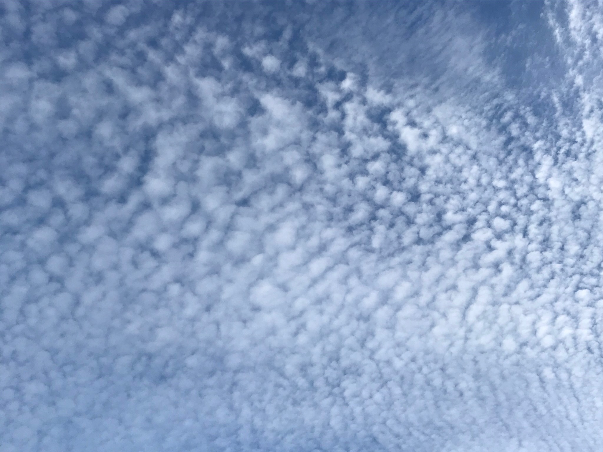
Cirrocumulus
Cirrocumulus clouds are generally thin high-level clouds that appear as sheets or layers without shading. They are composed of small puffs or tufts, and may display a dappled appearance and may locally display rippled or wave-like patterns. |
 |
 |
 |
| Cirrocumulus undulatus |
Cirrus vertebratus |
Cirrocumulus with some cirrostratus |
 |
 |
 |
| Cirrocumulus |
Cirrocumulus |
Cirrocumulus vertebratus |
 |
 |
 |
| Cirrocumulus above some altocumulus clouds |
Cirrocumulus above some altocumulus clouds |
Cirrocumulus |
1.12
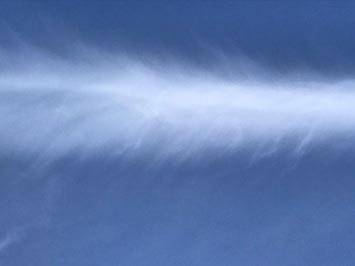
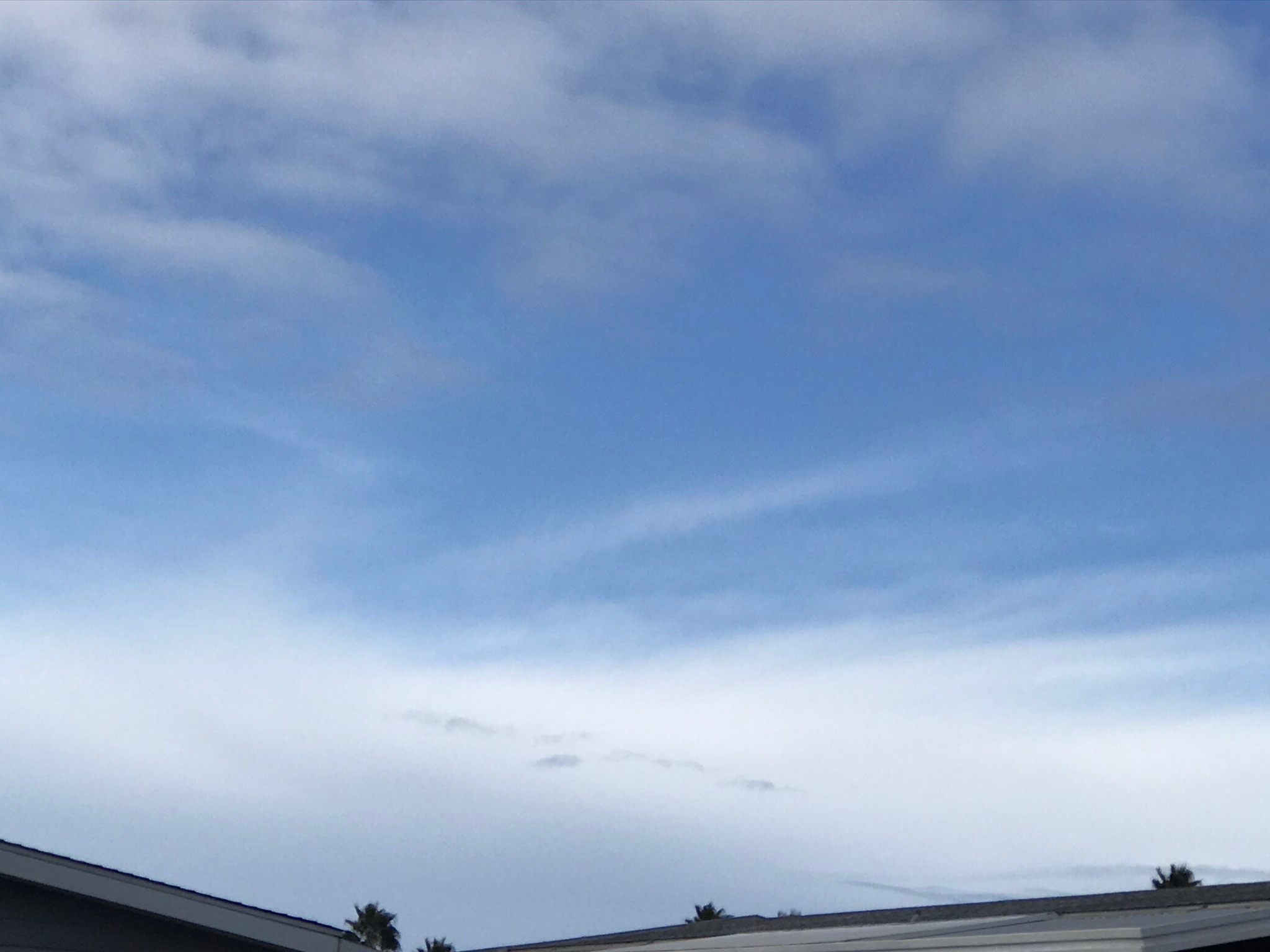
Cirrostratus
Cirrostratus are-high level stratus clouds. They are typically thin, usually translucent to diffuse, smooth layers, appearing as whitish to gray veil that can blanket part of or the entire sky, or grade into other types clouds. They are typically associated with overcast skies of an approaching warm front. |
 |
 |
 |
| Cirrostratus in advance of an approaching warm front |
Cirrostratus over Lake Hodges, CA |
Cirrocumulus merging with cirrostratus |
 |
 |
 |
| Cirrostratus from Double Peak, San Macros, CA |
Cirrostratus over Anza Borrego State Park, CA |
Cirrostratus from Lake Hodges Overlook, CA |
1.13
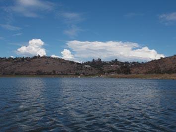
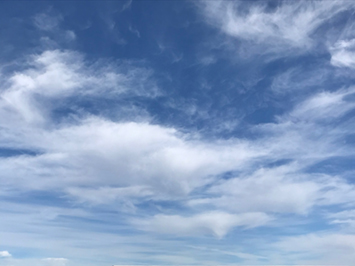
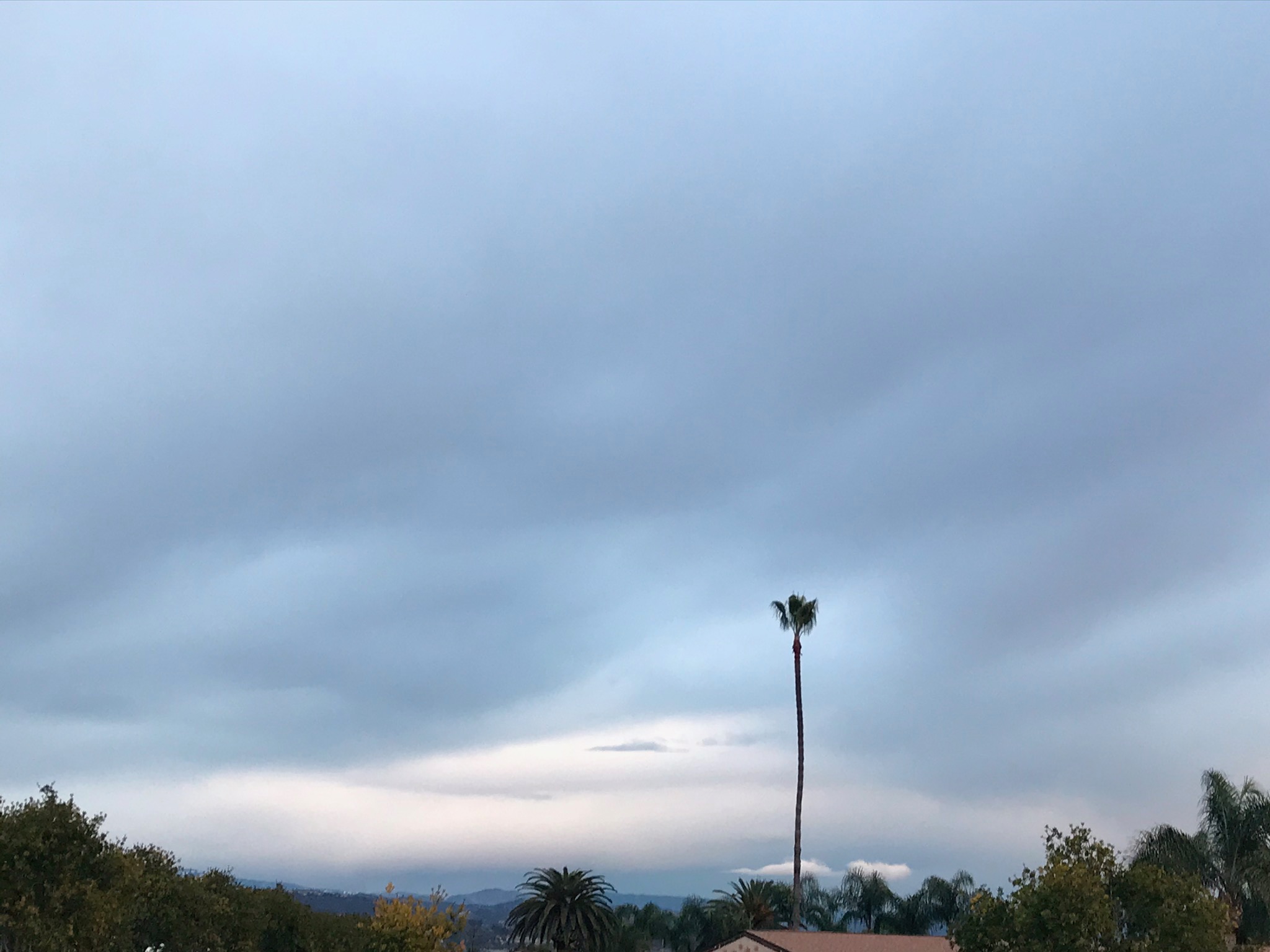
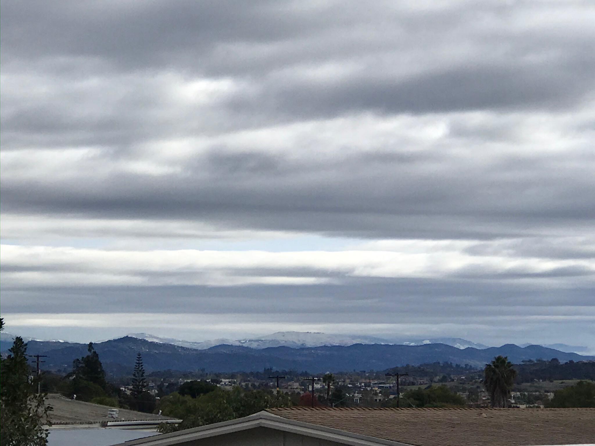
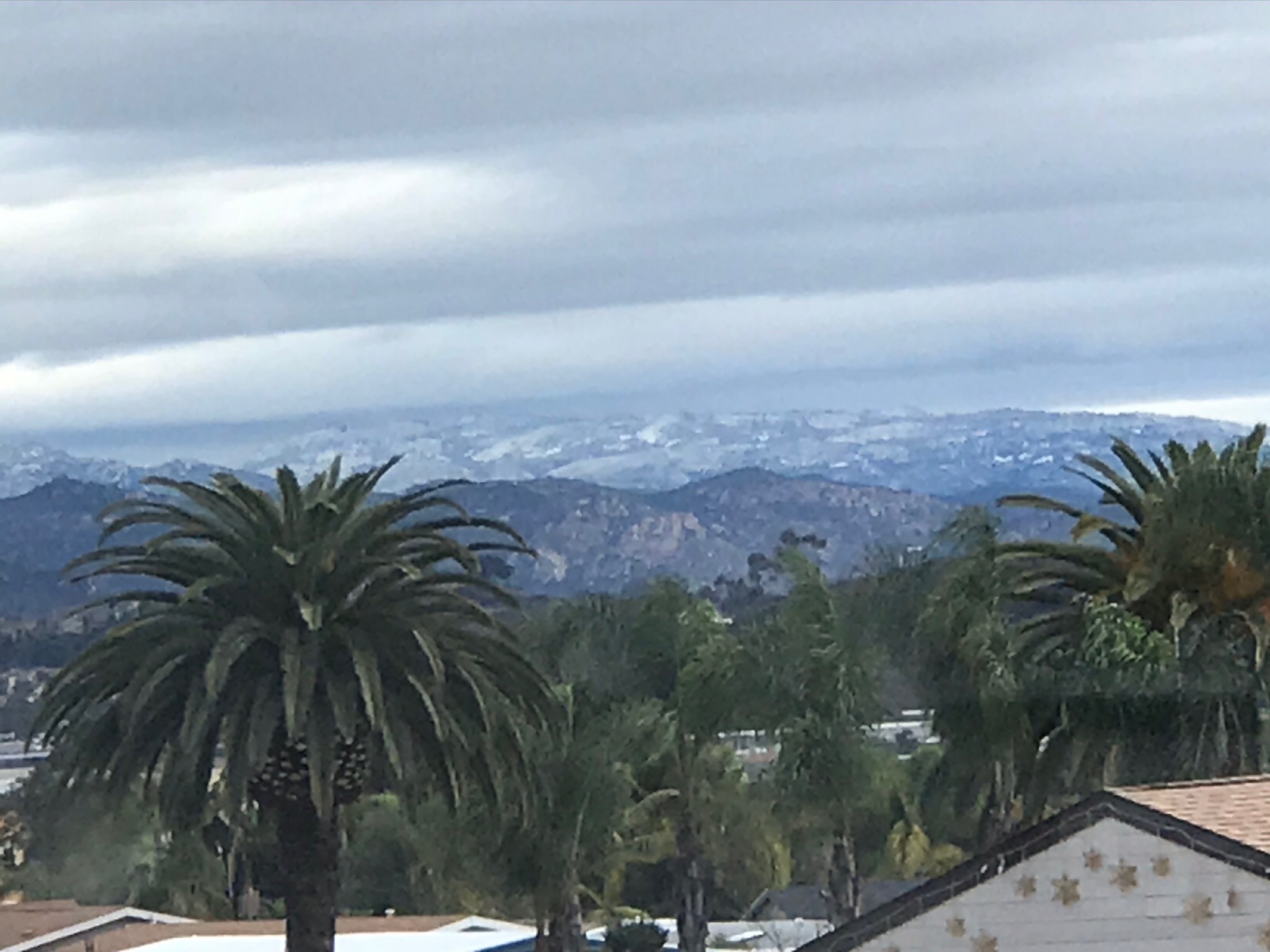
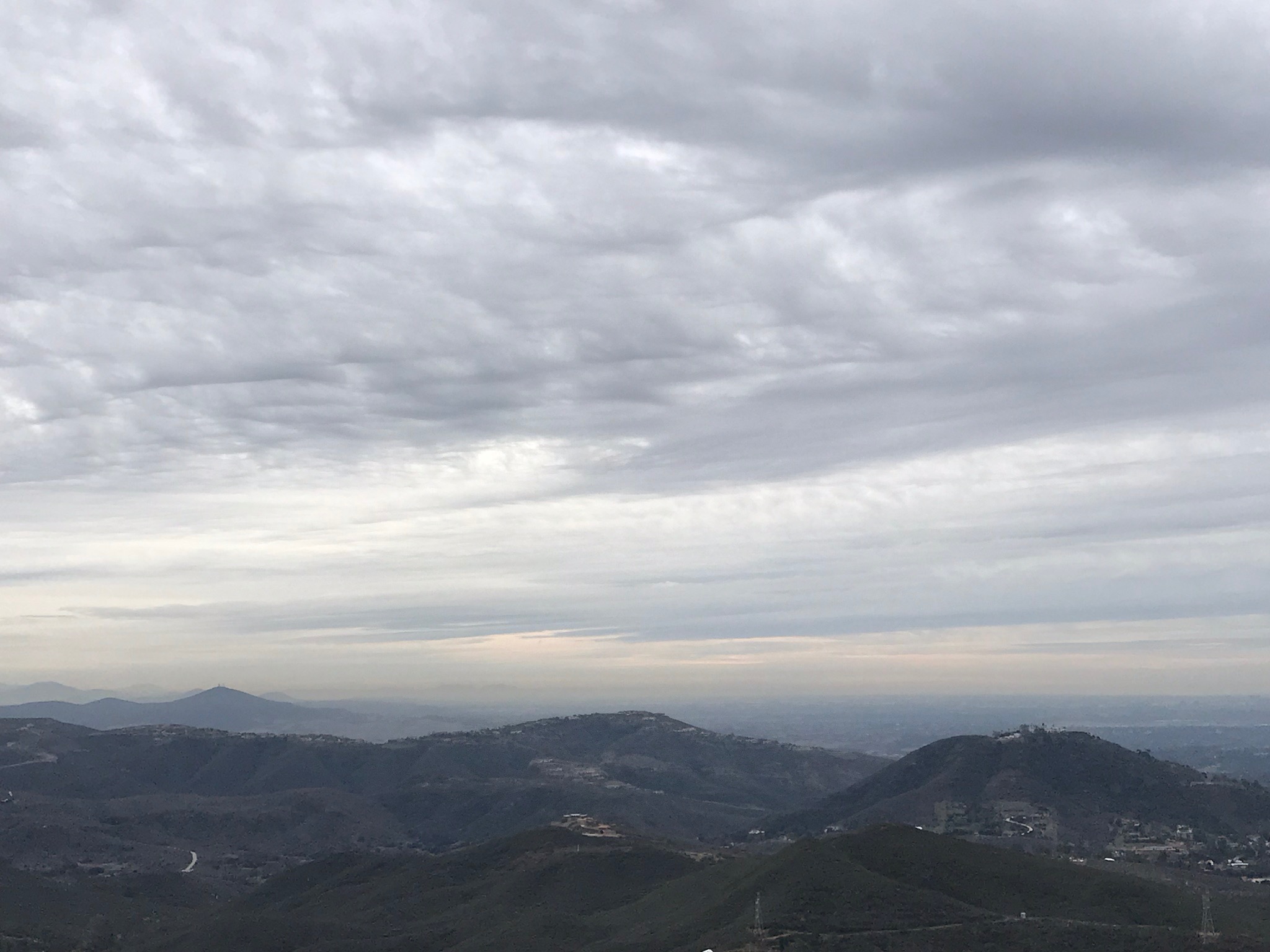
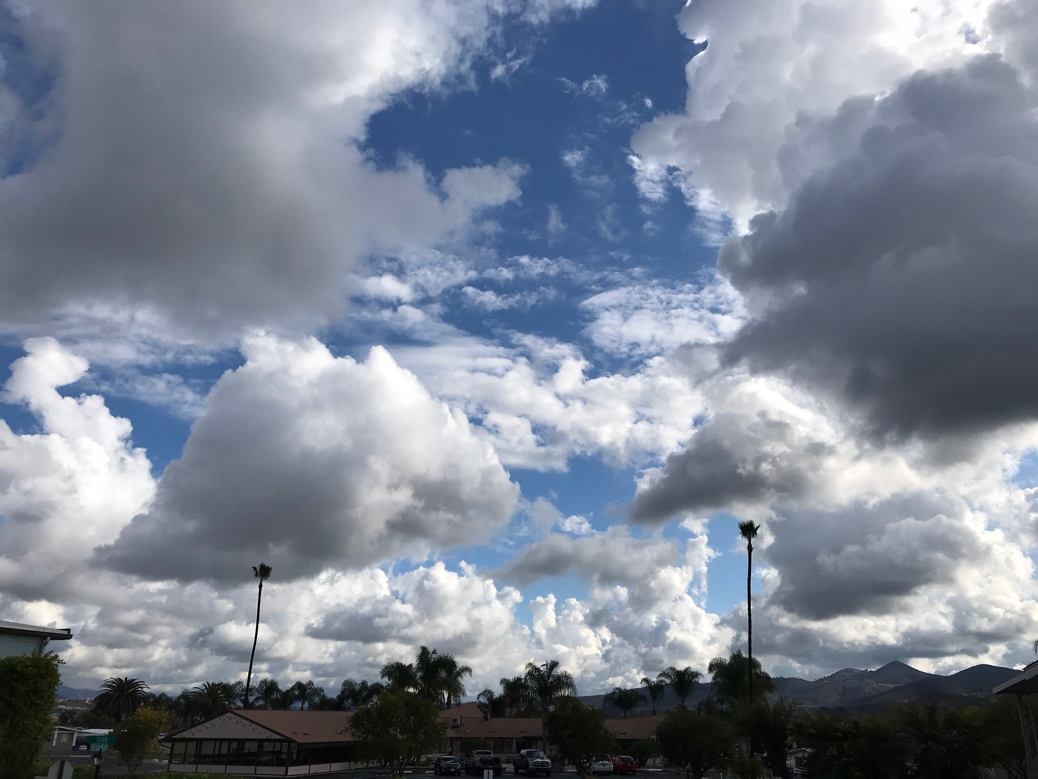
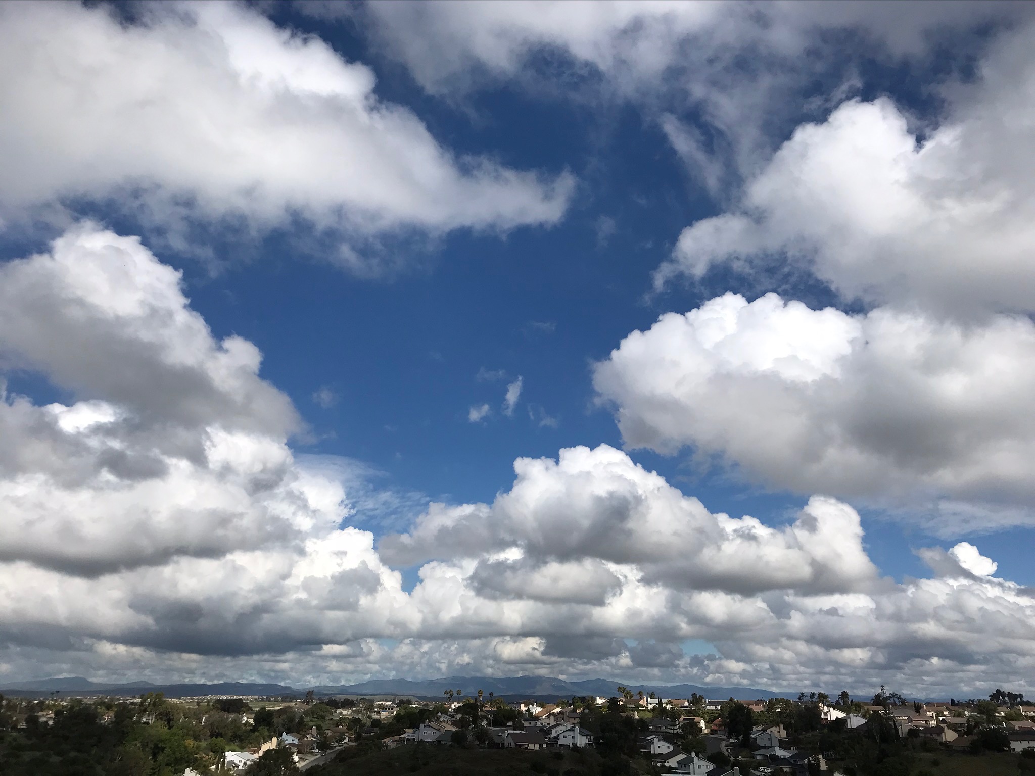
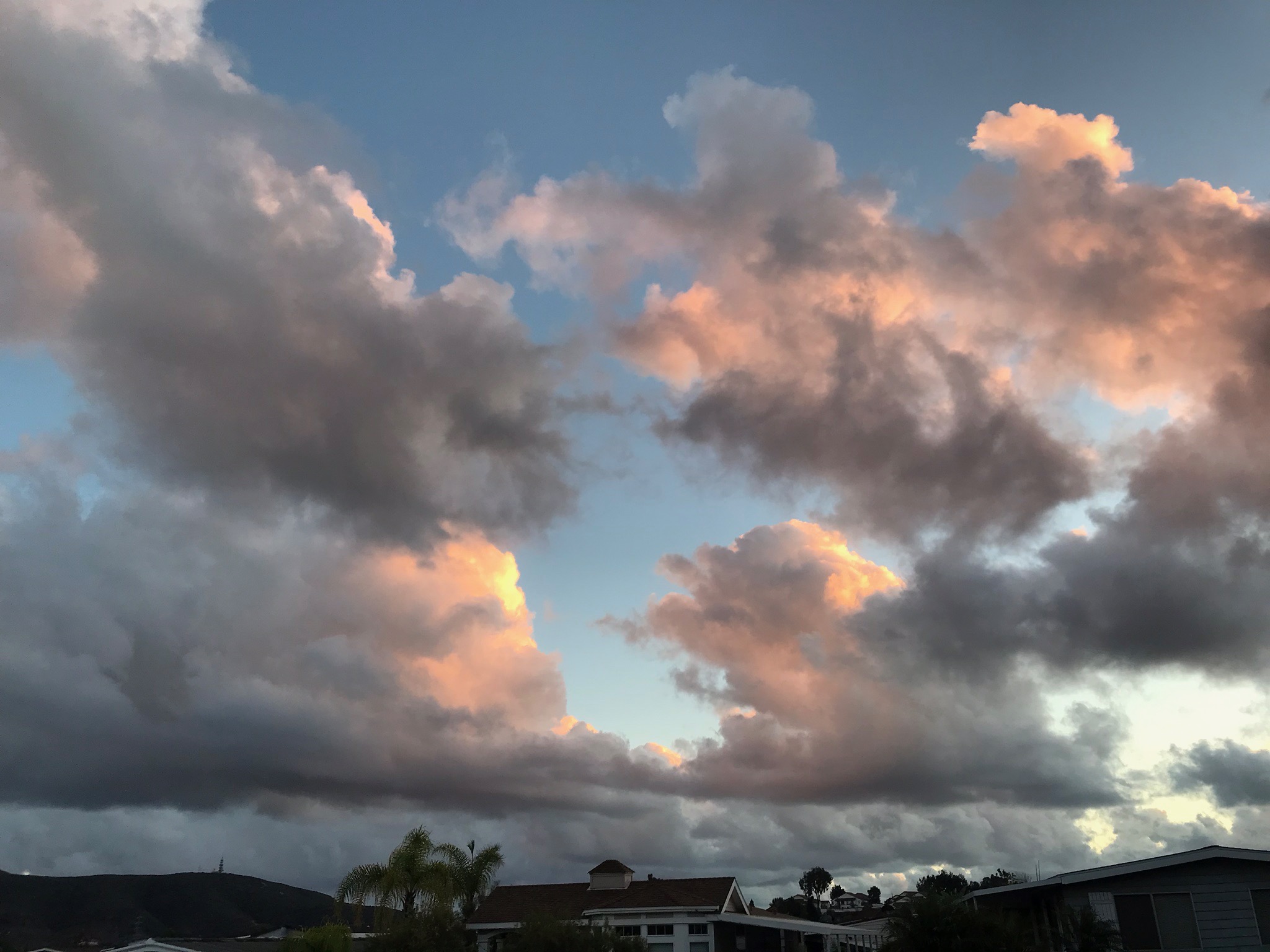
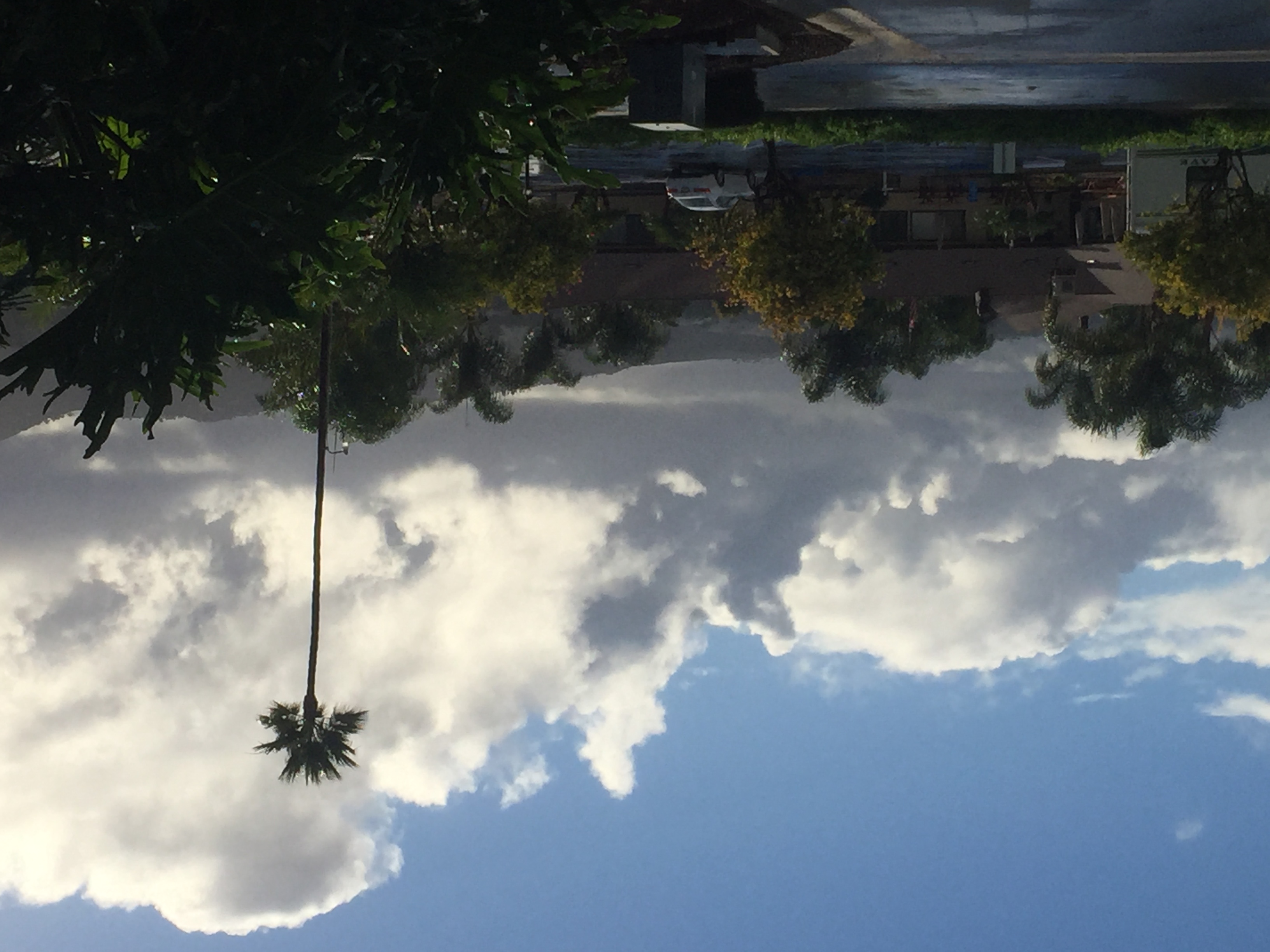
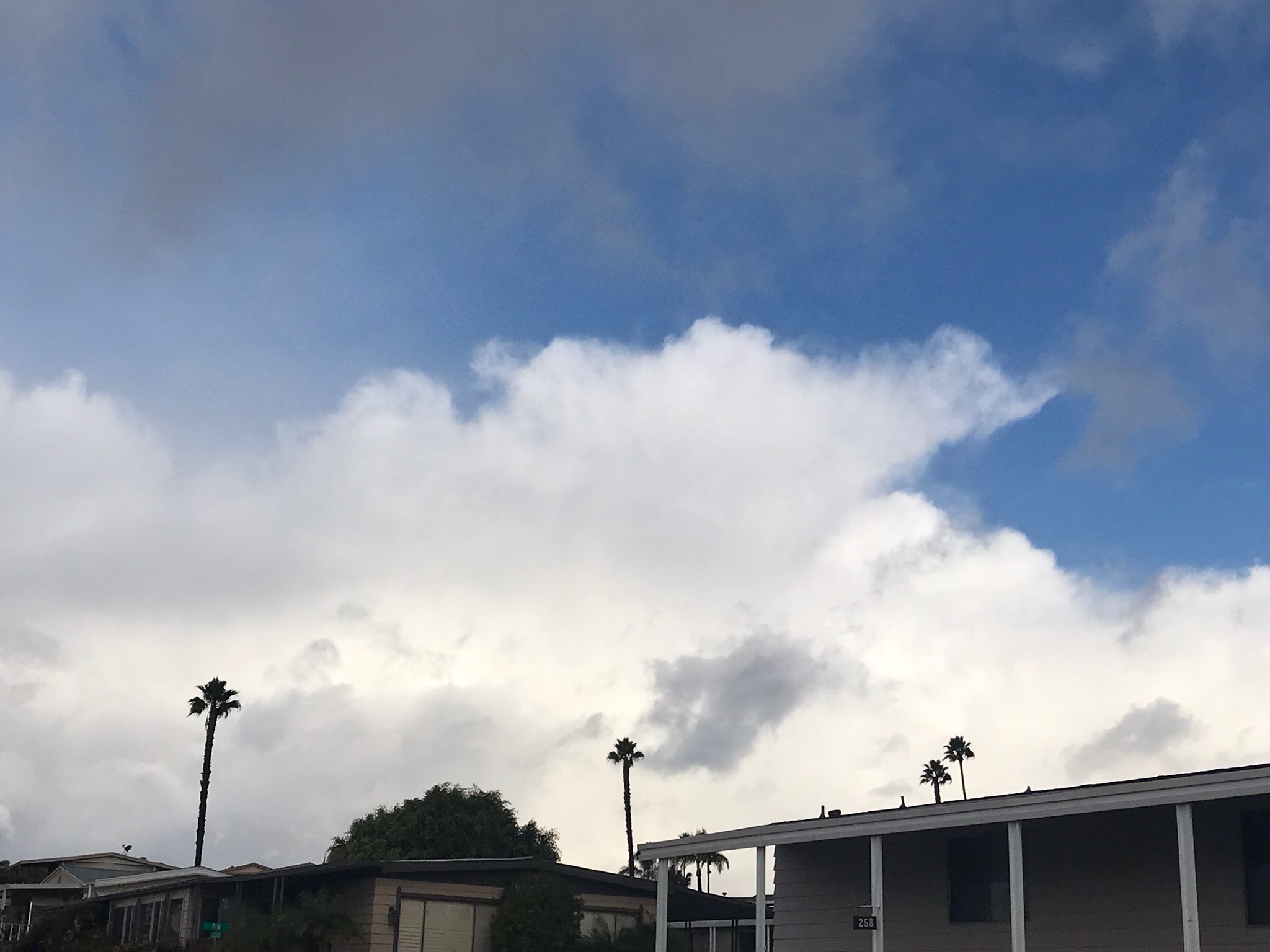
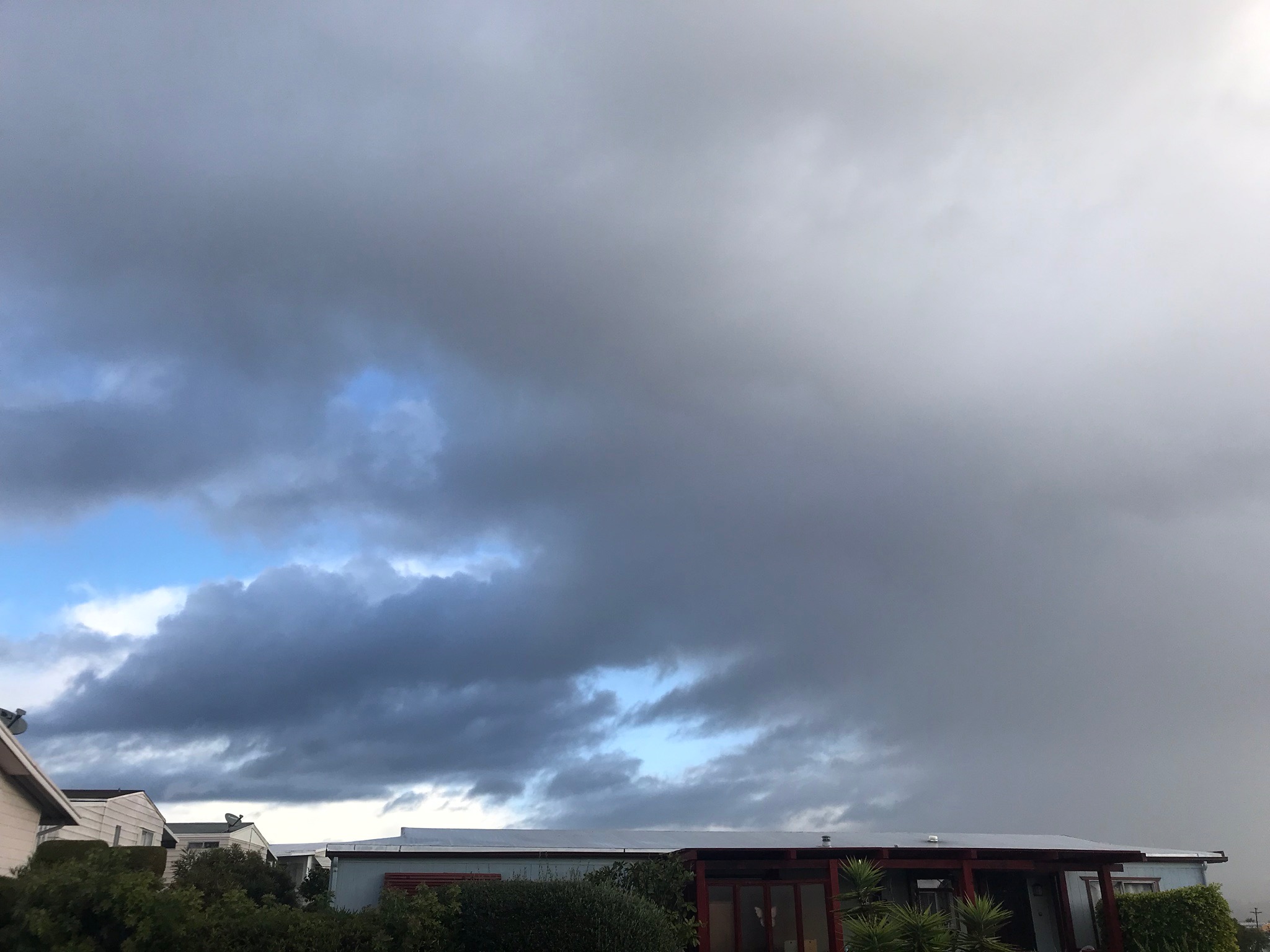
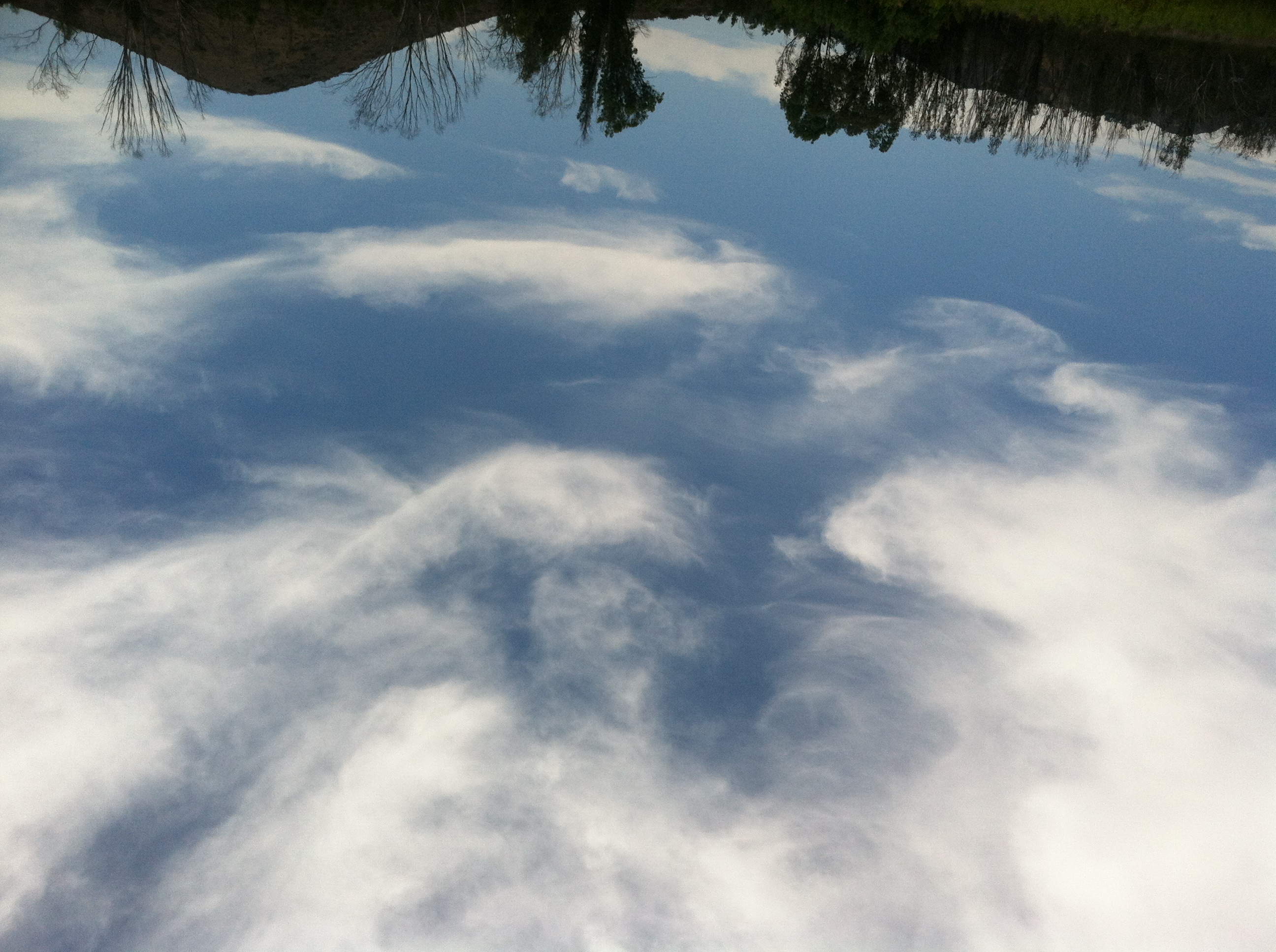
Mixed Cloudy Skies
Clouds can form and behave differently simultaneously in different levels of the atmosphere, sometimes moving in different directs and at different velocities.
|
 |
 |
 |
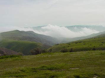
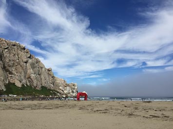
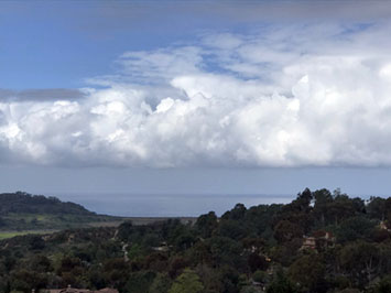
| A dark stratus marine layer (fog) hugs the ocean surface as fog offshore of Morro Rock (in Morro Bay). High-level cirrus cloud are at the top of the image. |
Marine layer dissipating as it moves inland. Altostratus clouds in the distance on the opposite side of the coastal mountain range. |
Mix of low-level mid-level stratus and cumulus clouds and upper-level cirrus clouds. |
 |
 |
 |
| Mid-level stratus and distant cumulonimbus |
Low-level cumulus with altostratus in the distance |
Low-level cumulus with altostratus in the distance |
 |
 |
 |
| Low- and mid-level stratus with cirrus clouds |
Low-level stratus and mid-level cumulus clouds |
Cumulus, stratus (with virga) and cirrus clouds |
1.14
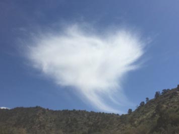
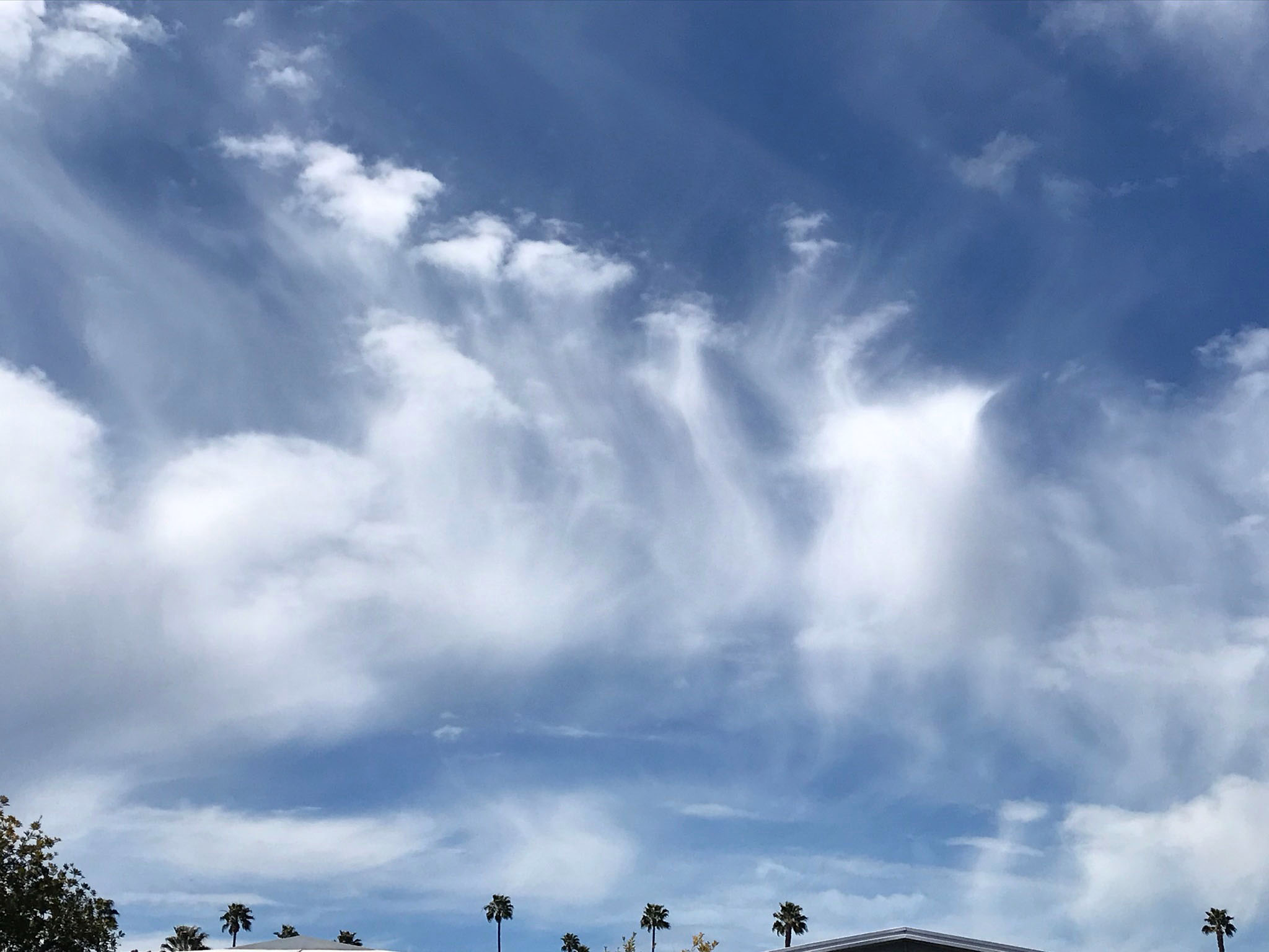
Unique Cloud Features |
 |
 |
 |
| Altocumulus floccus (displaying virga). |
Virga beneath mixed clouds. |
Undulating stratus cloud pouring through a mountain gap along the Pajaro River canyon, Monterey, CA |
 |
 |
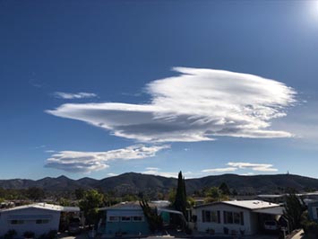 |
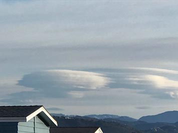
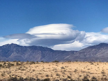
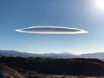
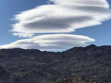
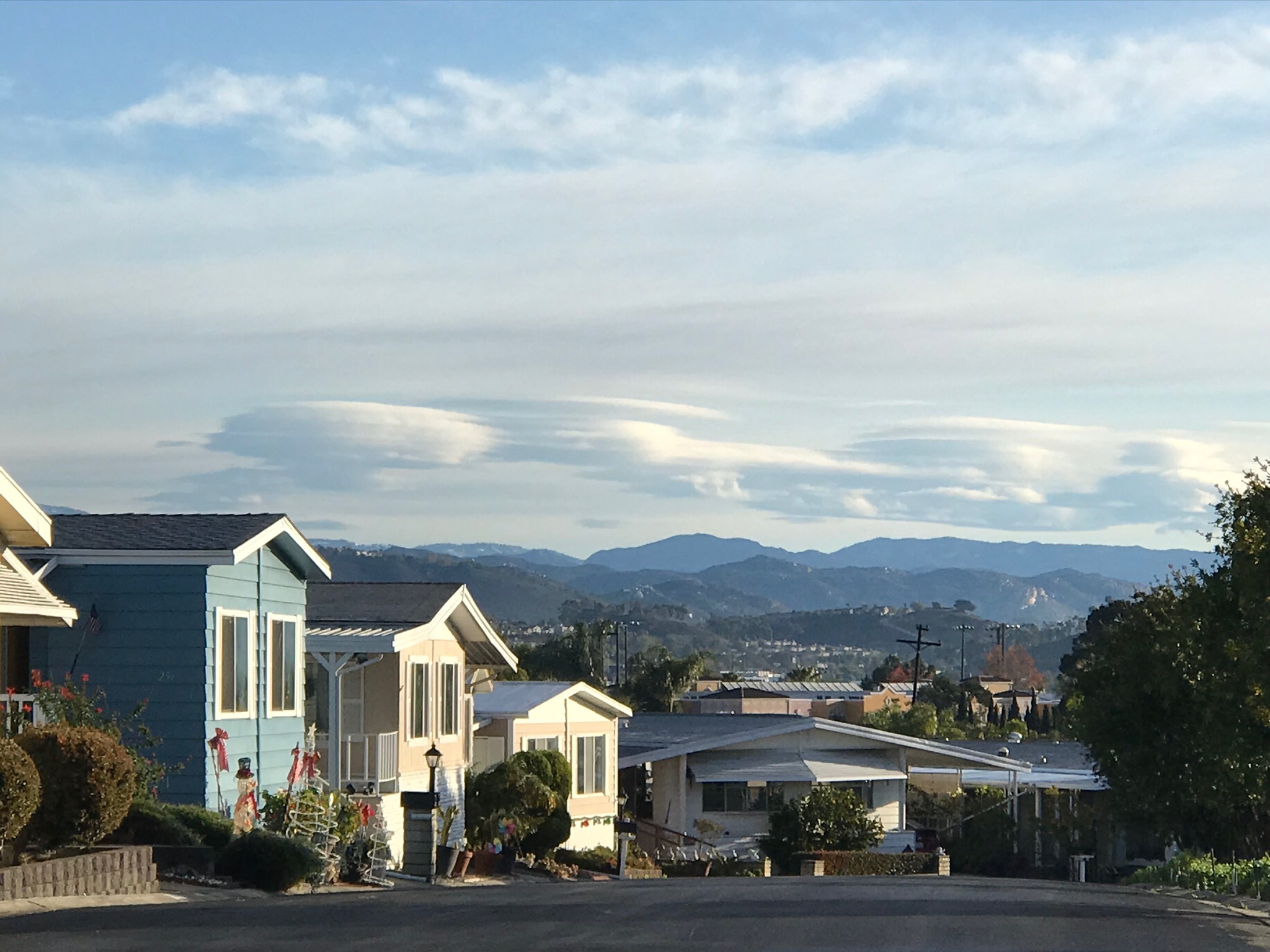
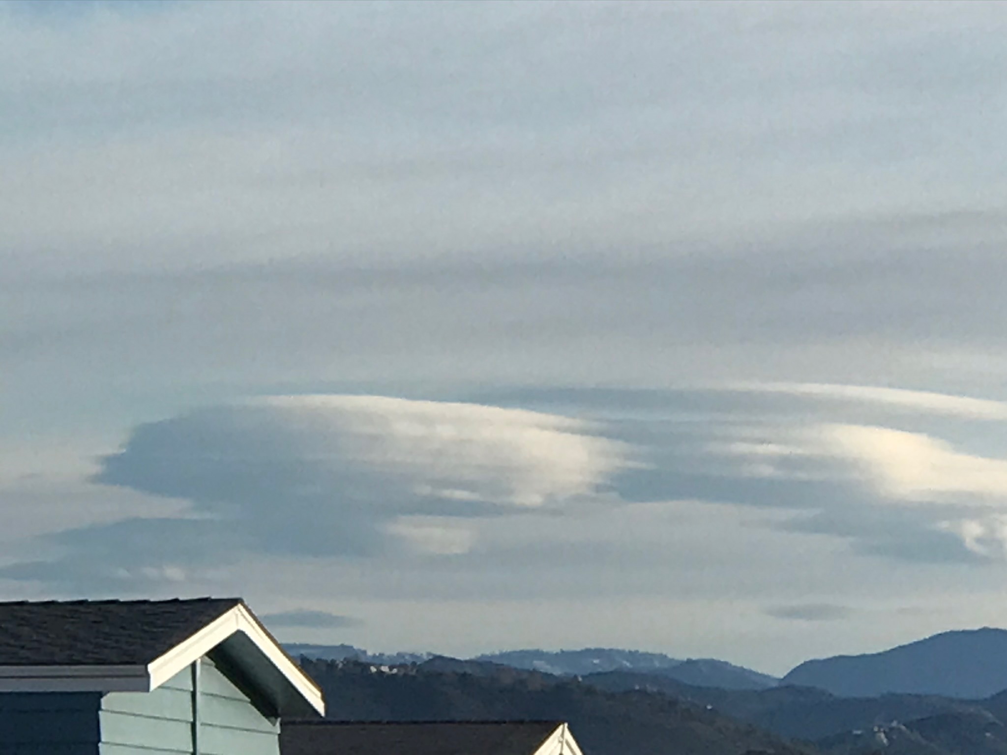
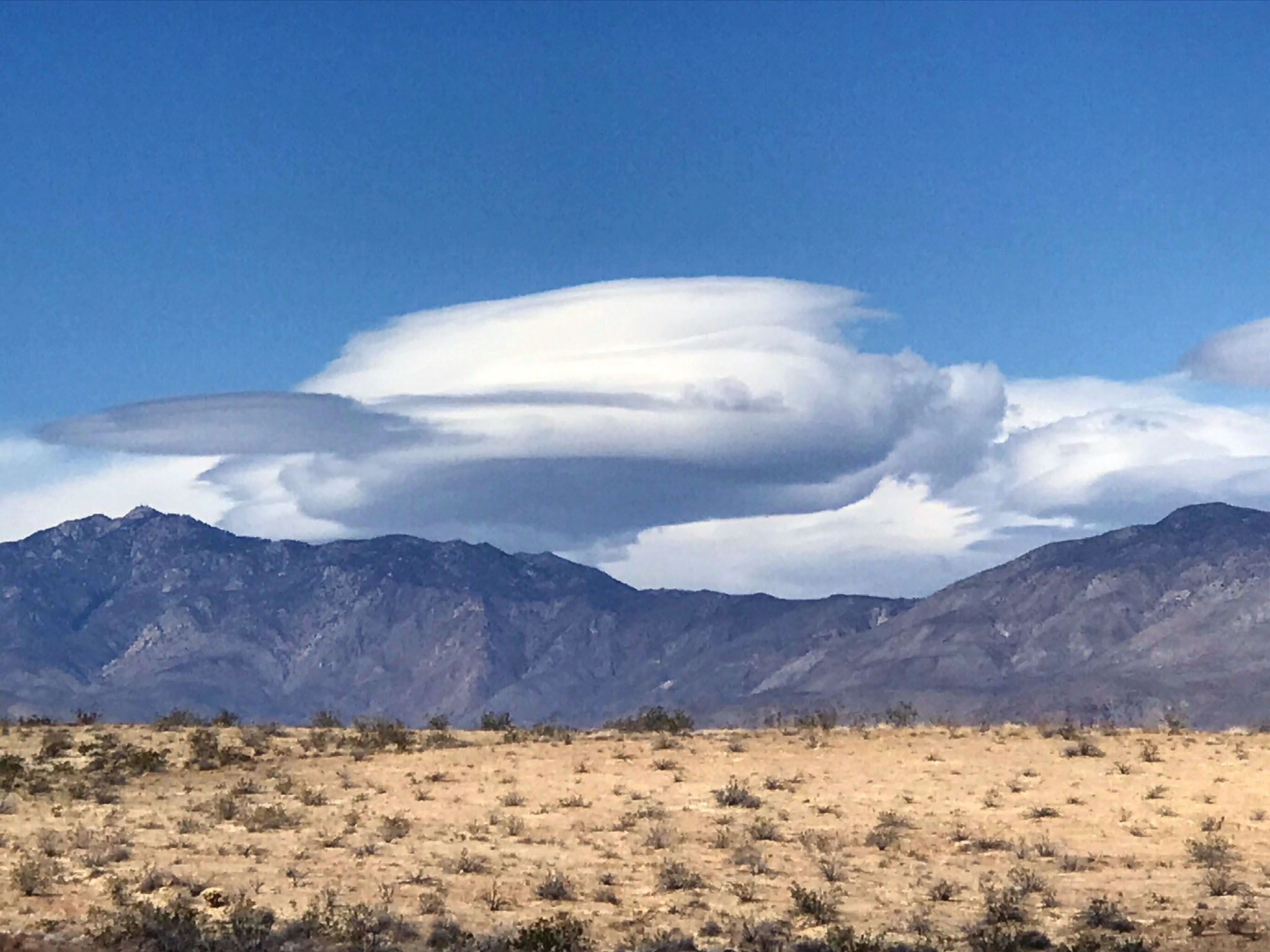
| Altocumulus lenticularis over high peaks near Julian |
Altocumulus lenticularis over high peaks near Julian |
Altocumulus lenticularis |
 |
 |
 |
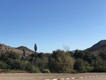
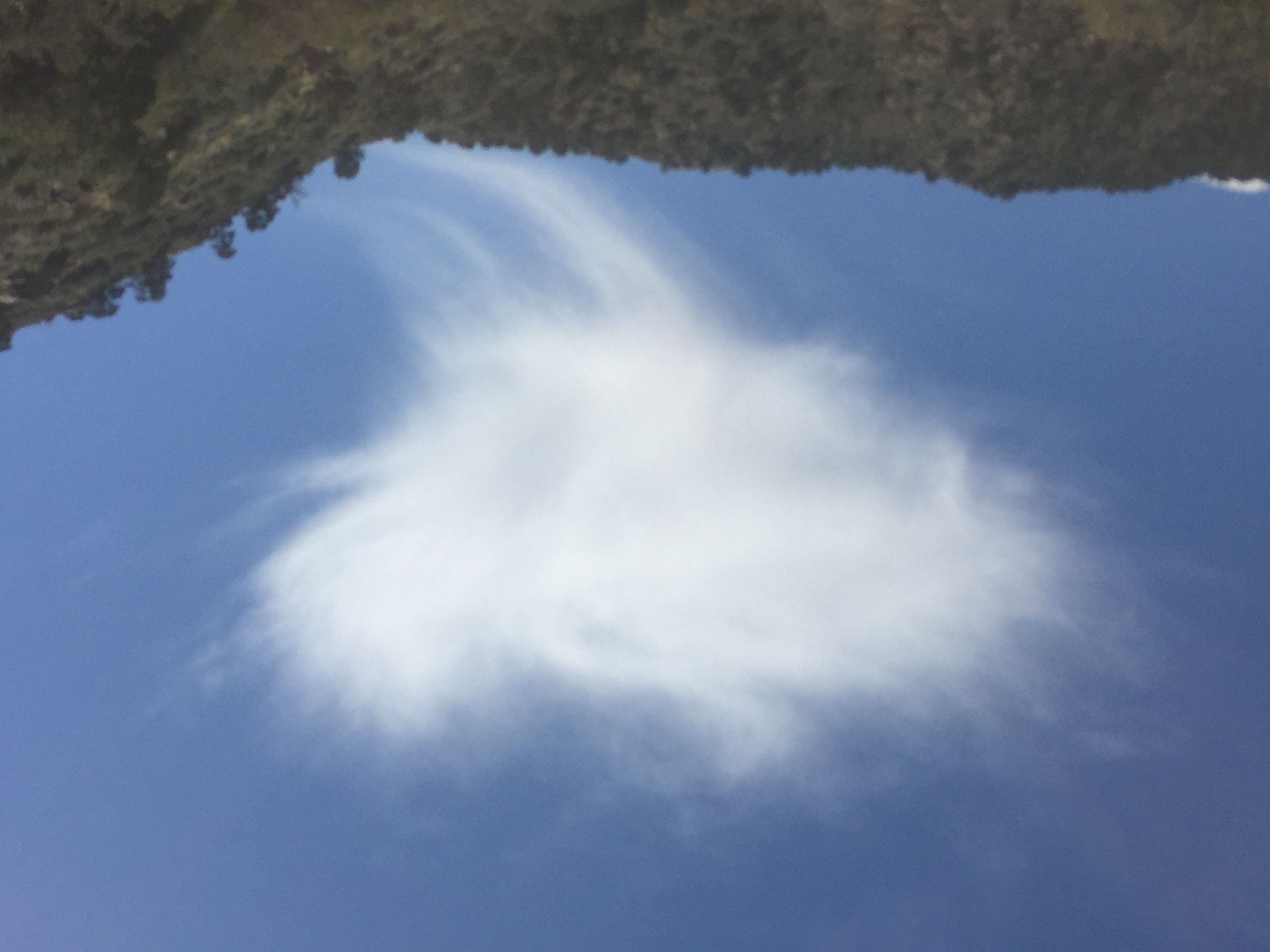
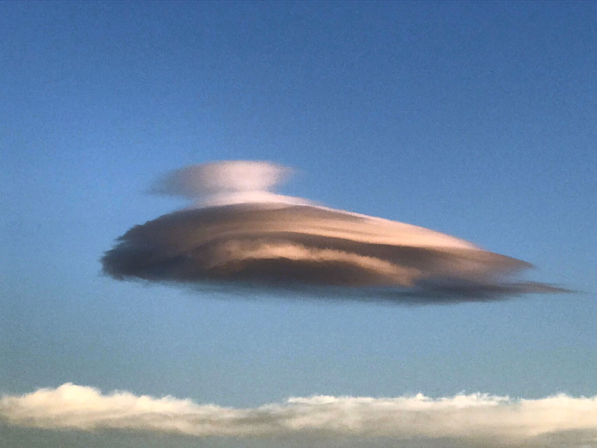
| Orographic cloud (looks like a bird) |
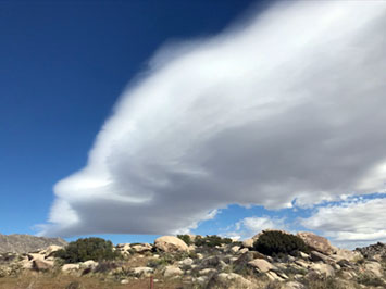
Orographic cloud bank over Borrego Springs, CA |
Orographic cloud bank over Anza Borrego St. Park |
 |
 |
 |
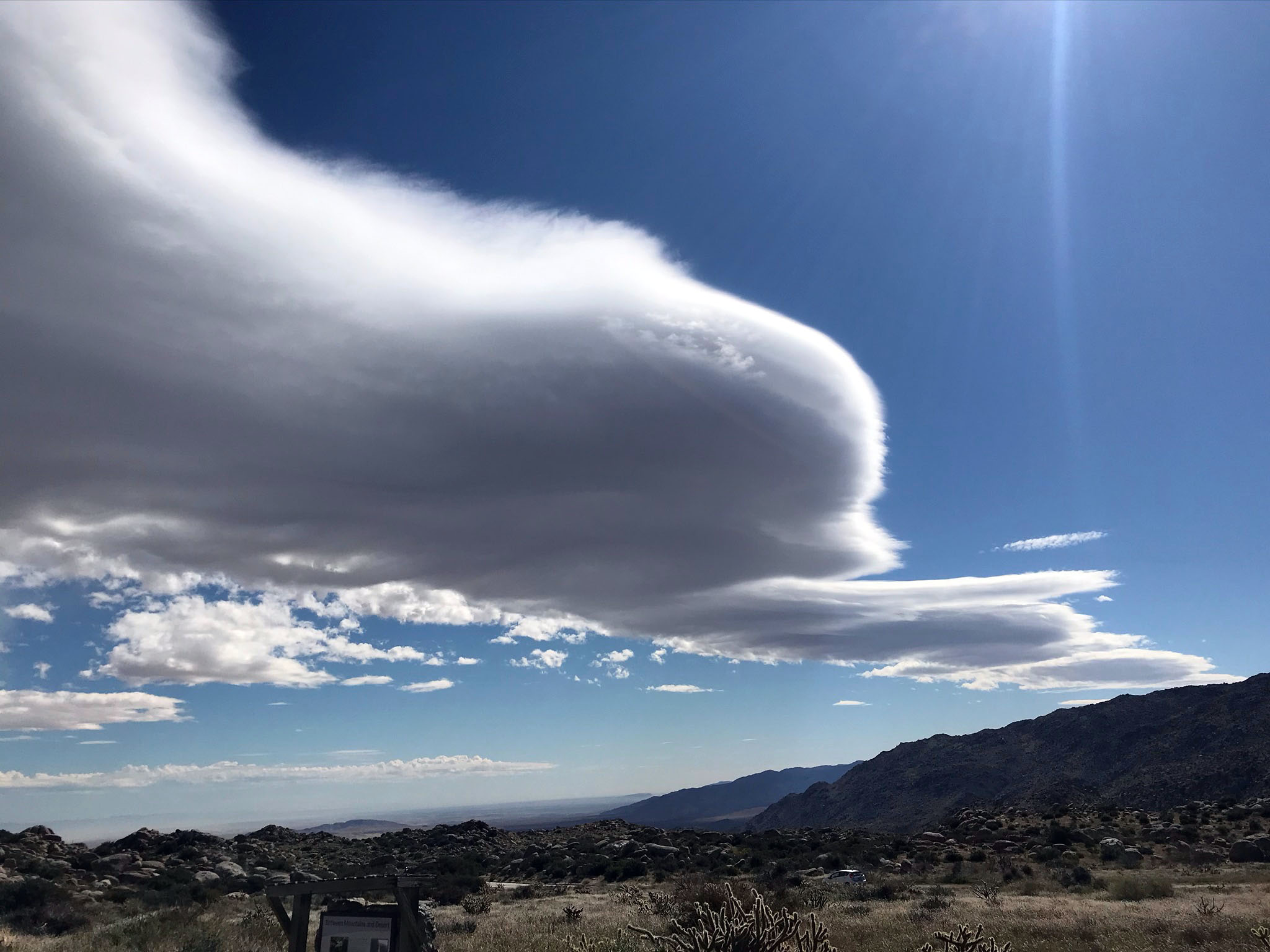
| Orographic clouds over Cuyamaca Mountains, San Diego County, CA |
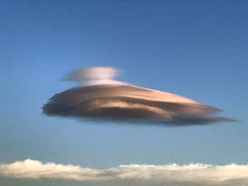
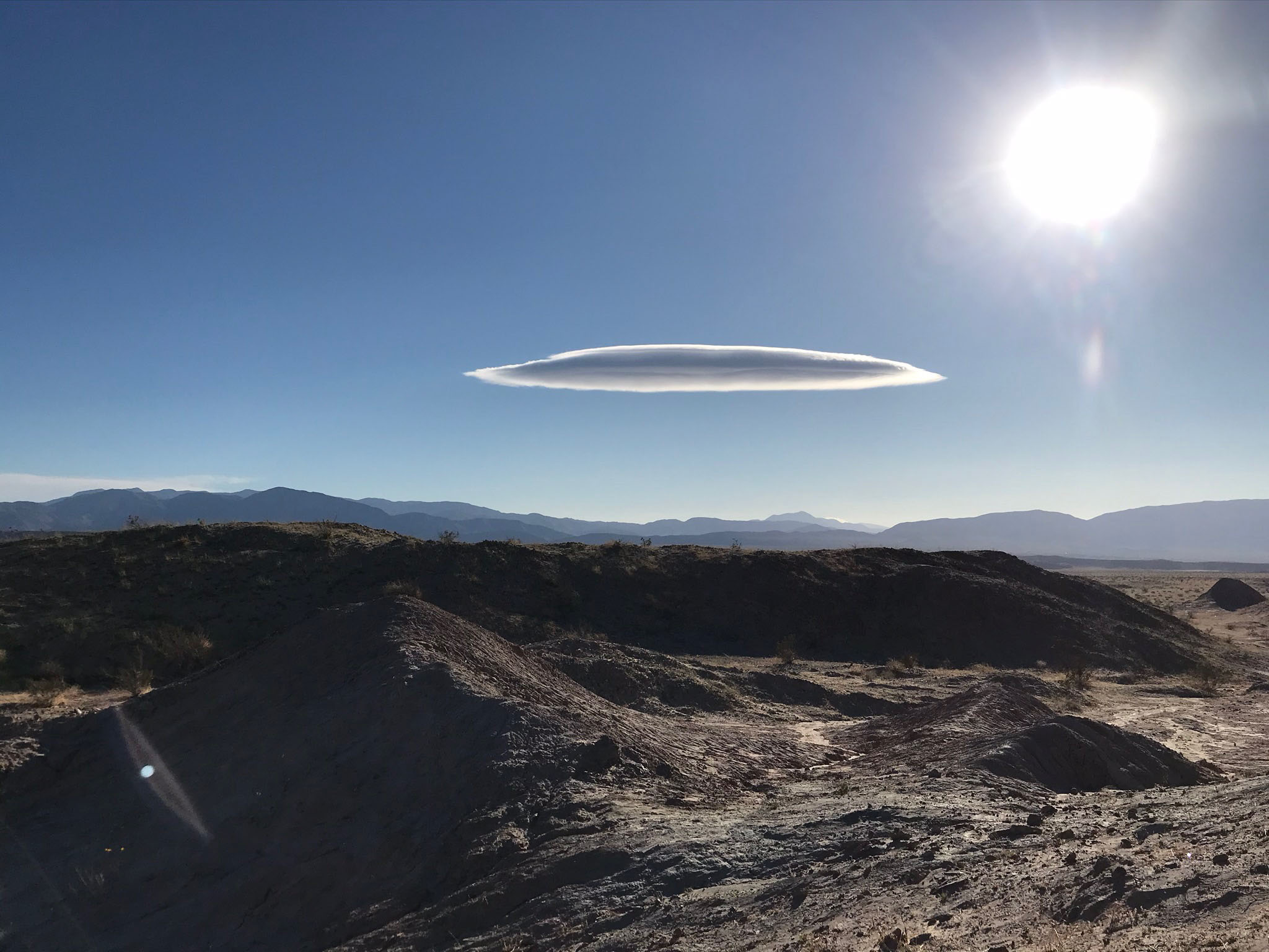
Solitary lenticular cloud over Anza Borrego Desert, CA |
Solitary lenticular cloud over Anza Borrego Desert, CA |
 |
 |
 |
| Orographic clouds over Cuyamaca Mountains, San Diego County, CA |
Fog bank hanging just offshore of Torrey Pines Beach, CA. |
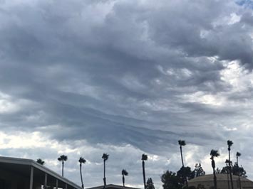
Ramp-like base to stratocumulus clouds associated with an advancing cold front |
 |
 |
 |
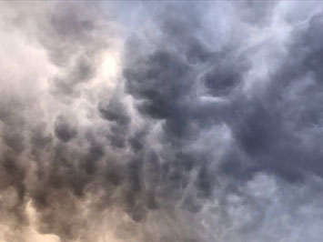
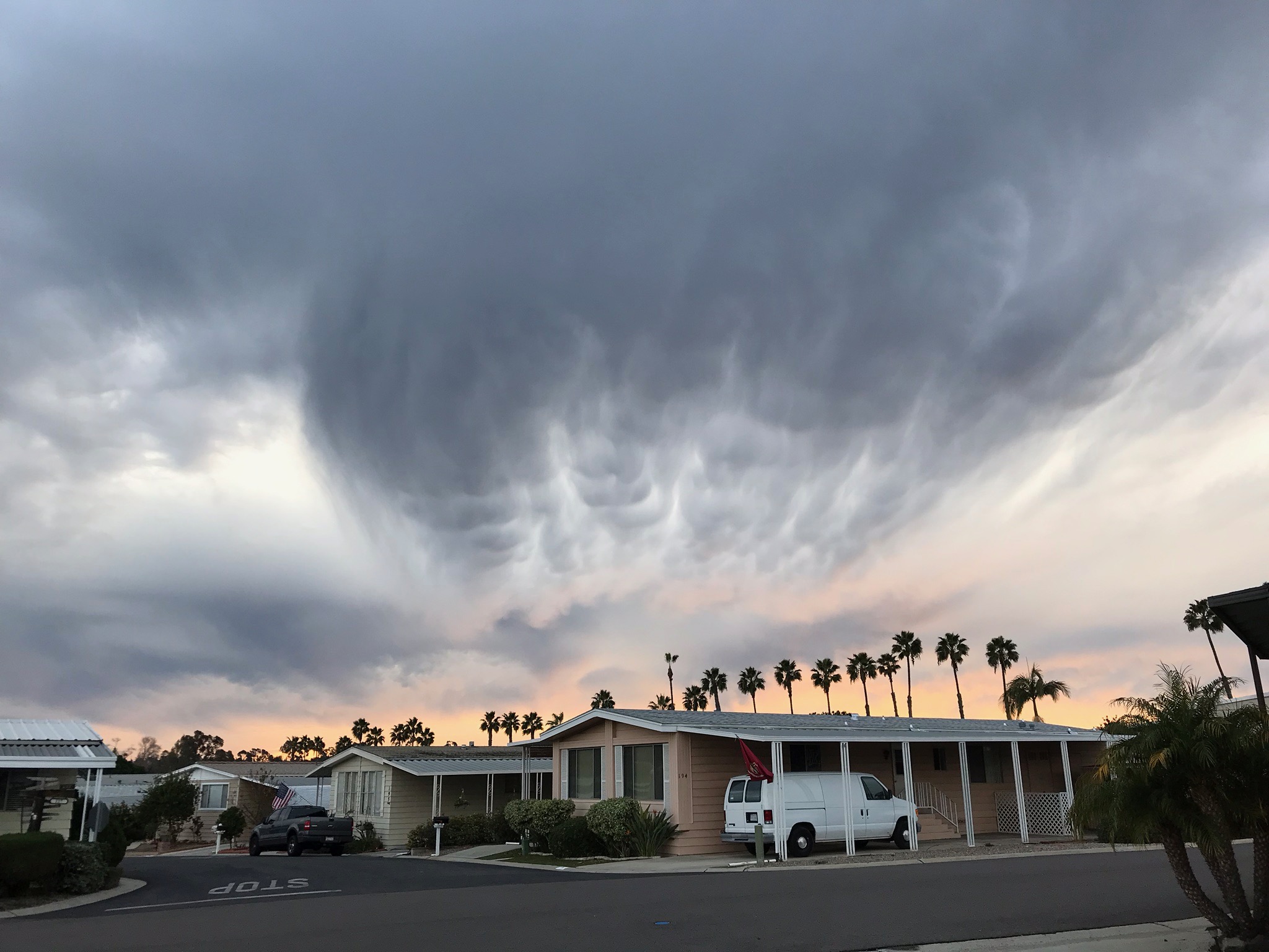
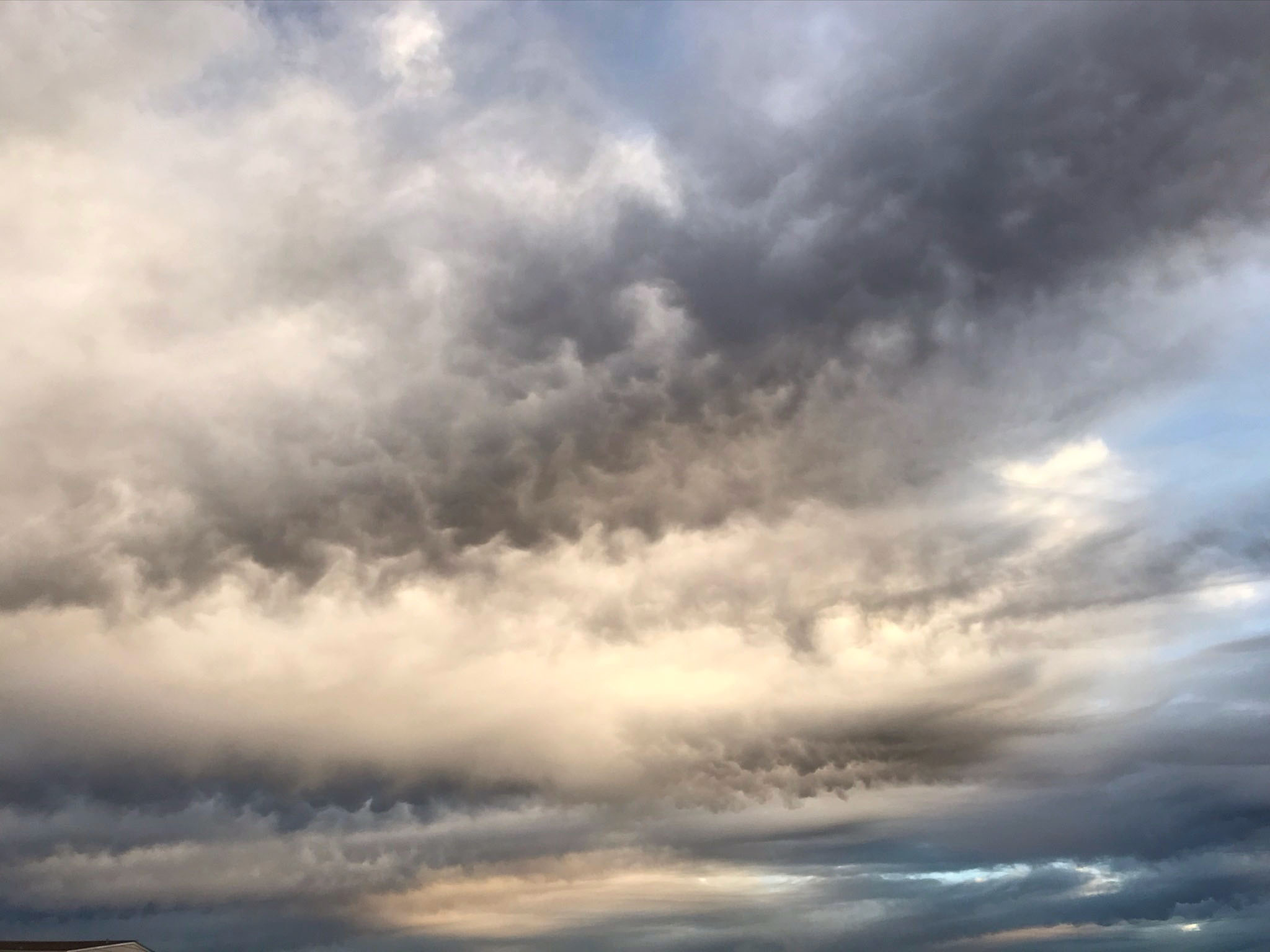
| Stratocumulus undulata with mammatus |
Stratocumulus displaying mammatus (down drafts) |
Cumulonimbus with mammatus |
 |
 |
 |
| Mammatus (down drafts) |
Mammatus on the base of altocumulus clouds |
Mammatus cloud structures along a frontal boundary |
 |
 |
 |
| Wall cloud beneath thunderstorm (pannus) |
Wall cloud beneath thunderstorm (pannus) |
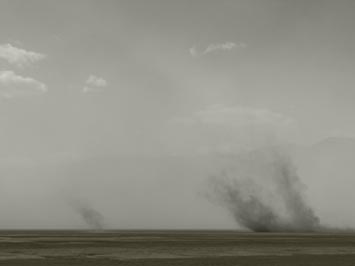
Dust storm with dust devils (Mojave Desert, CA) |
 |
 |
 |
| Squall line in altocumulus clouds |
Squall line in stratocumulus clouds |
Torrential squall downpour from thunderstorm |
 |
 |
 |
| Gust front (squall) shelf cloud in cumulonimbus |
Factus cloud (or scud) within a thunderstorm |
Factus cloud (or scud) within a thunderstorm |
 |
 |
 |
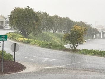
| Rain (stratus nebulosus) |
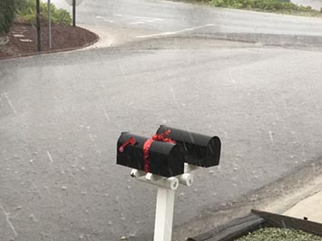
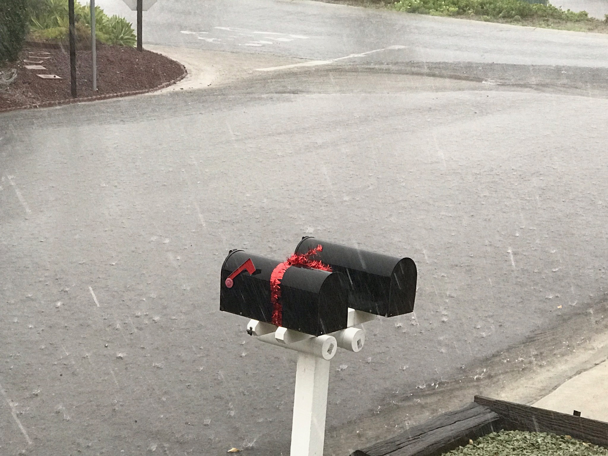
Small hail during a downpour |
Hail splashing during a downpour |
Mist vs. Fog: Mist is a cloud of tiny water droplets hangs in the air at or near the earth’s surface that limits visibility.
If visibility is greater than 1,000 meters it is called mist. However, if visibility is less than 1,000 meters it is called fog. |
1.15
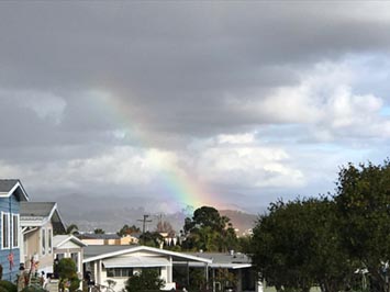
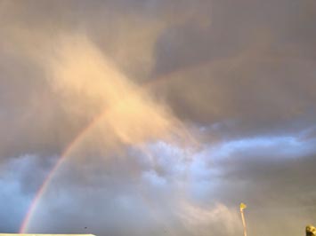
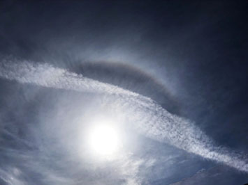
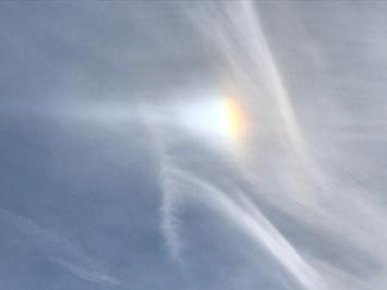
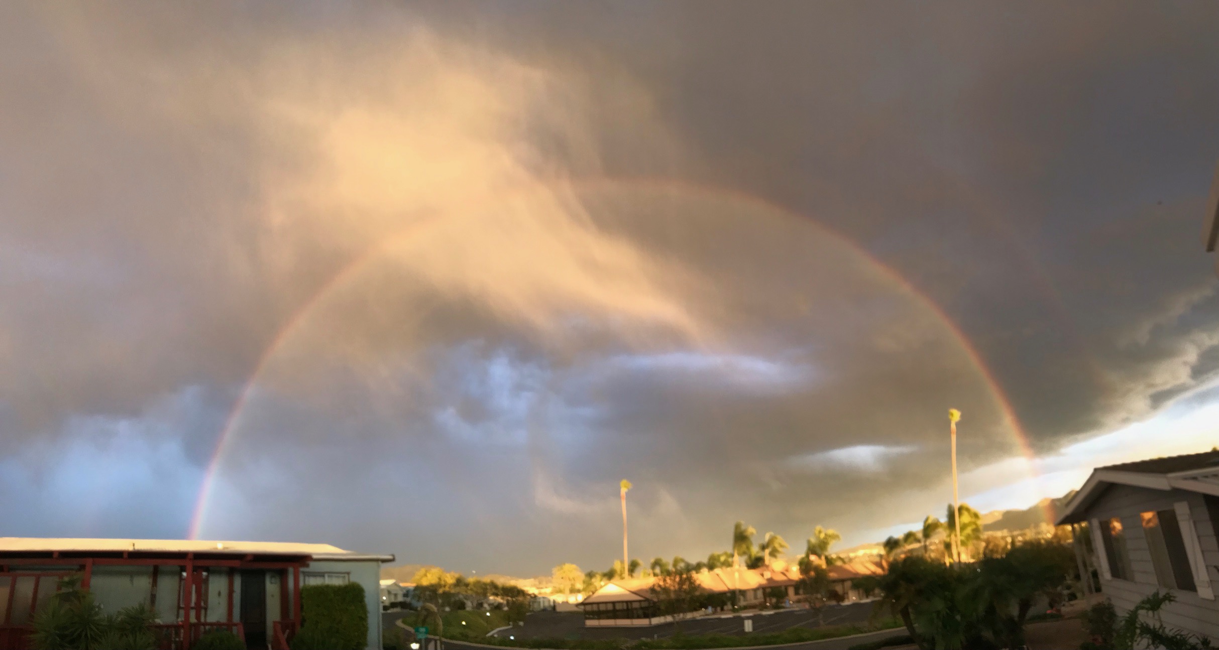
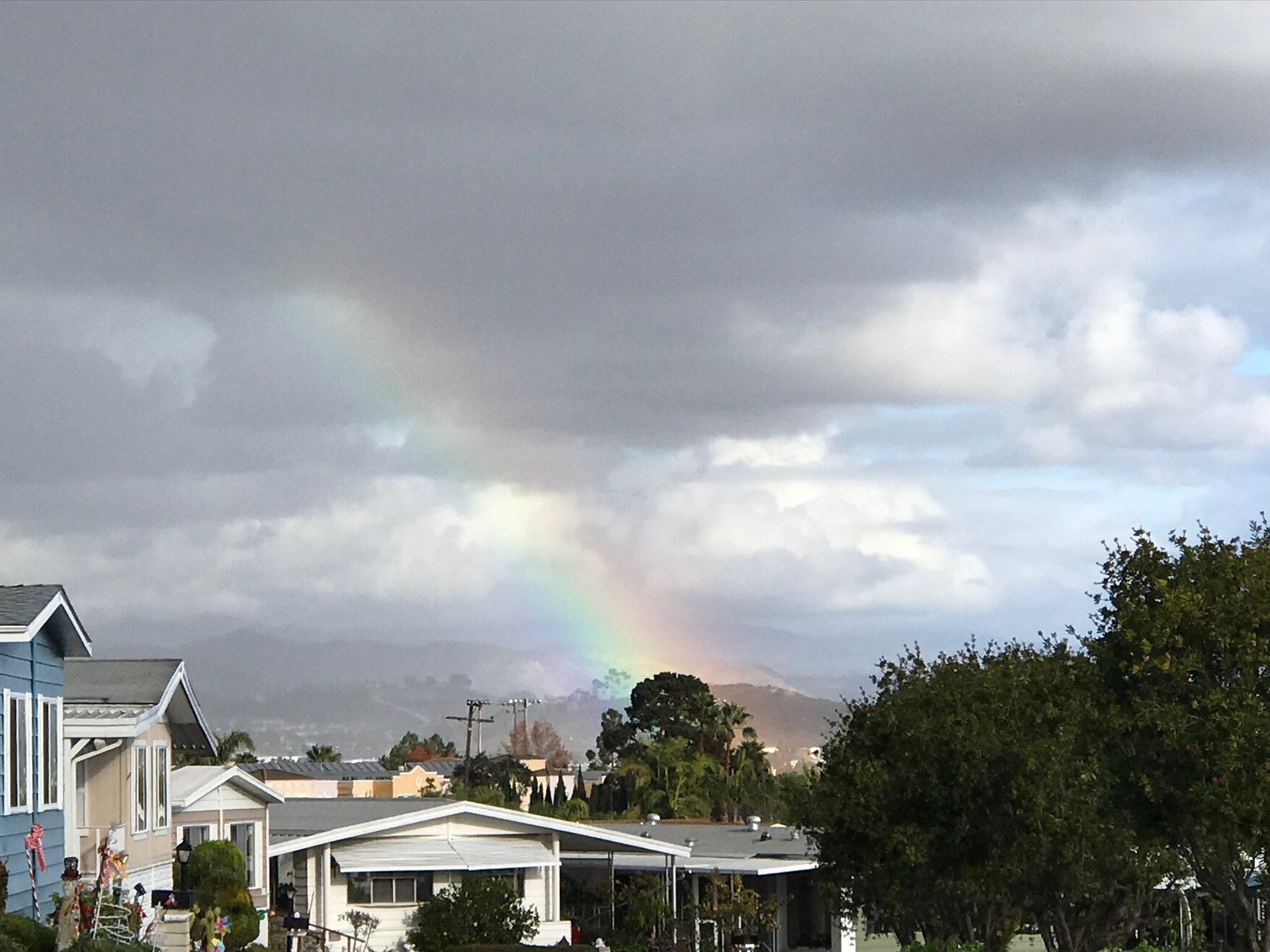
Rainbows, Parhalia (Sun Dogs), Halos, and Circumzenithal Arc
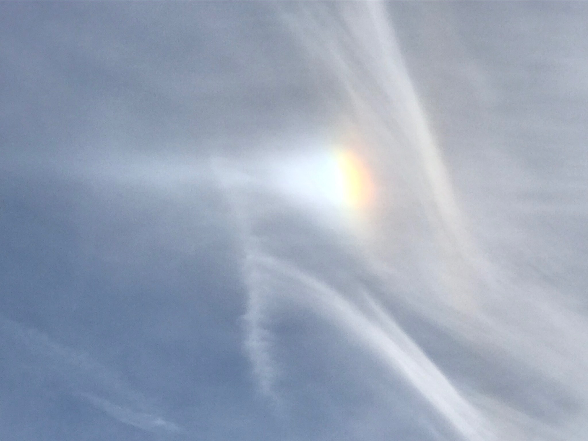
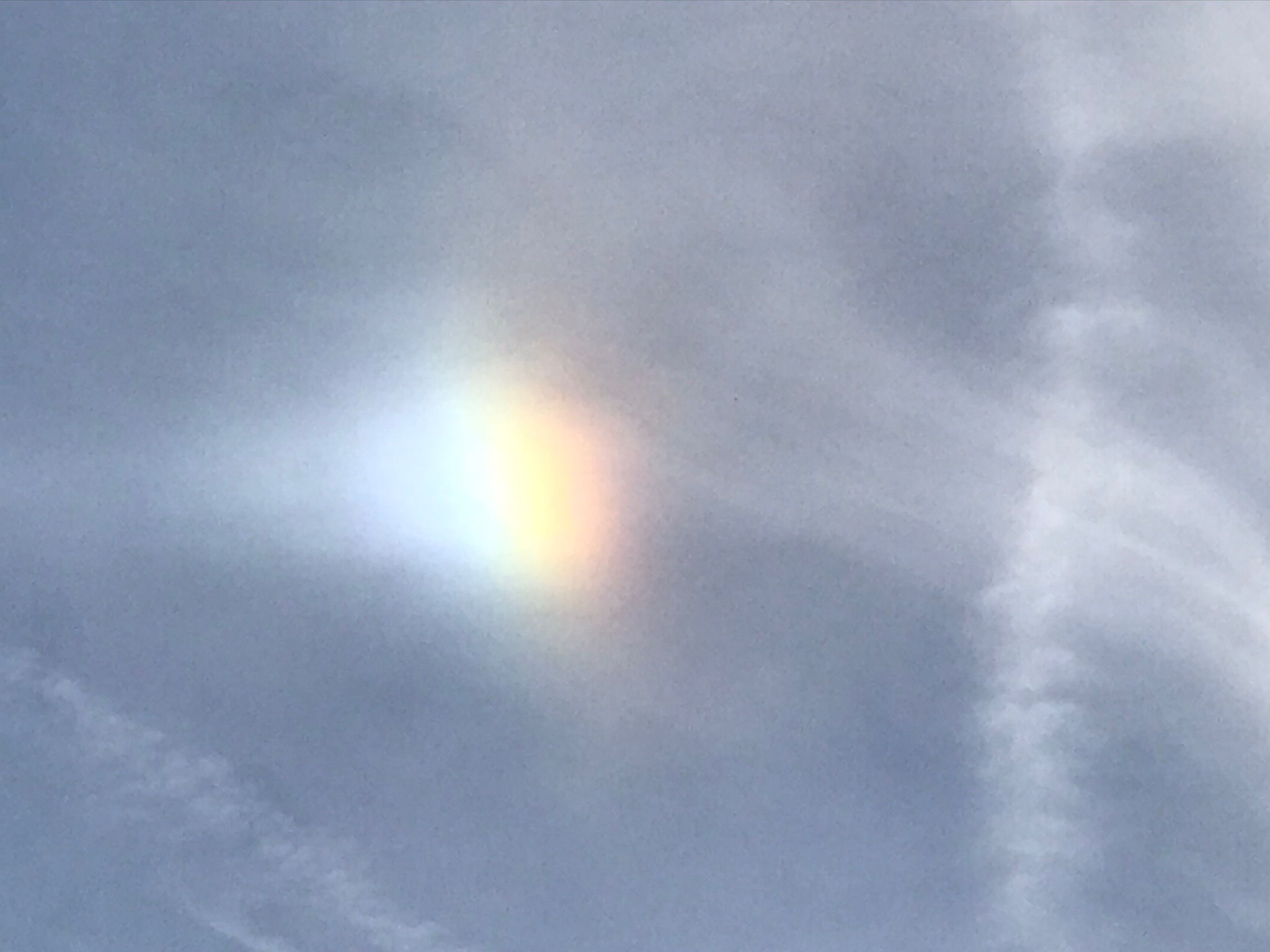
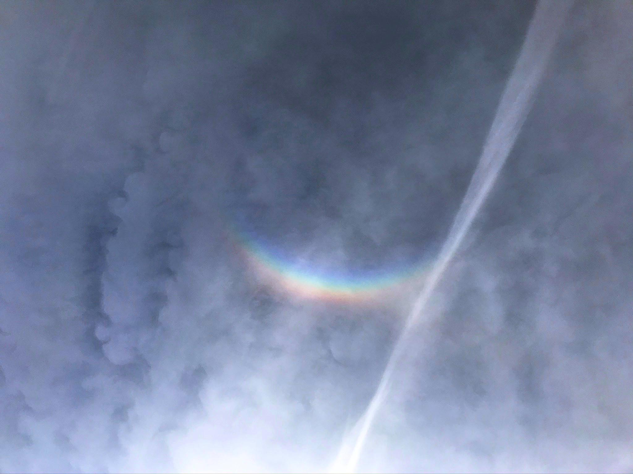
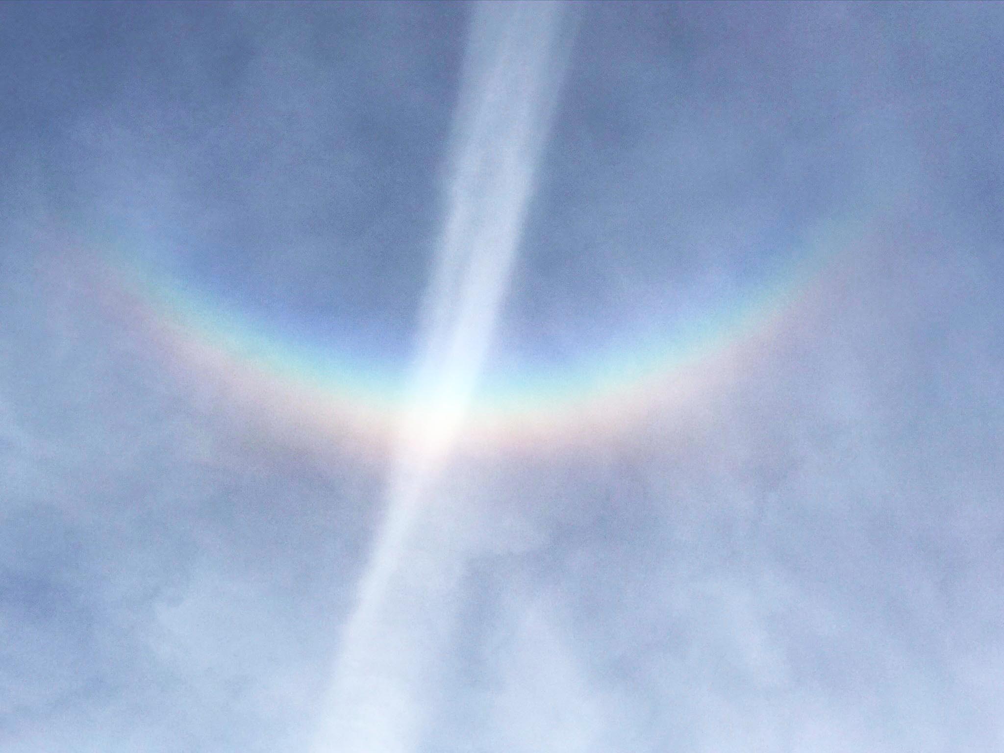
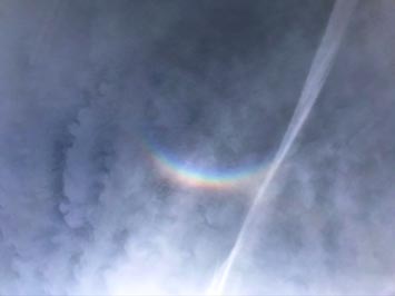
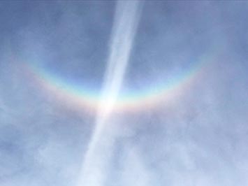
Sunlight passing through rain, snow, fog, and ice will create optical effects related to light diffraction, refraction, reflection, and absorption. Depending on the atmospheric setting, it will result in the formation of arc, halo, and prismatic spectrum of color. Rainbows are most common, usually associated with light refraction in a diffuse cloud of raindrops lit up by morning or afternoon sunlight when the sun is at a low angle. Longer wavelengths of visible light (blue and violet) are diffracted at a different angle the longer wavelengths toward the red end of the spectrum. The blue and violet wavelengths are absorbed and scatter by diffusion of the atmosphere, so rainbows appear redder at when the sun is closer to the horizon. Parhalia (sun dogs), halos, and circumzenitahal arcs are more associated with refraction of light by ice crystals in thin cirrus level clouds.
|
 |
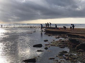
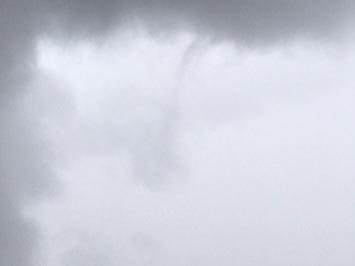
| Rainbow (partial double on right) with cloudburst of rain. A small funnel cloud briefly appeared with the gust front of this storm. |
 |
 |
 |
| A full-spectrum partial rainbow |
Cumulonimbus downpour with rainbow |
Halo around the sun in high ice clouds with contrail |
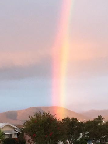 Rainbow in late afternoon sunlight loosing its green, blue, to violet portion of the spectrum due to atmospheric dispersion and absorption. Rainbow in late afternoon sunlight loosing its green, blue, to violet portion of the spectrum due to atmospheric dispersion and absorption. |
 |
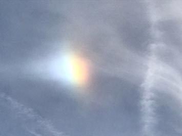 |
| Parhalia (sun dog) in cirrus cloud layer & contrails |
Parhalia (sun dog) in cirrus cloud layer & contrail |
 |
 |
| Rainbow circumzenithal arc (sun direction at bottom) |
Rainbow circumzenithal arc (with contrail) |
1.16
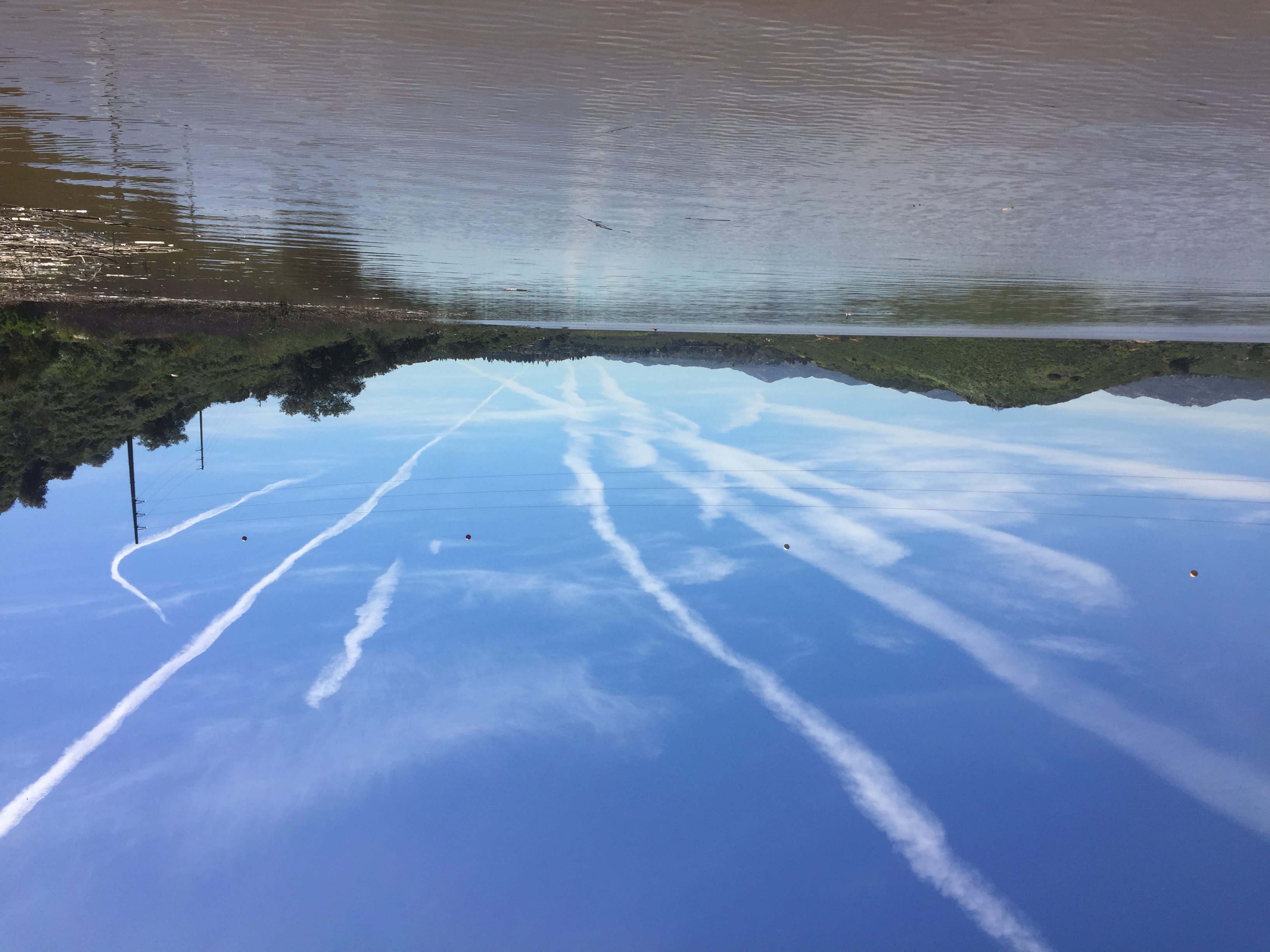
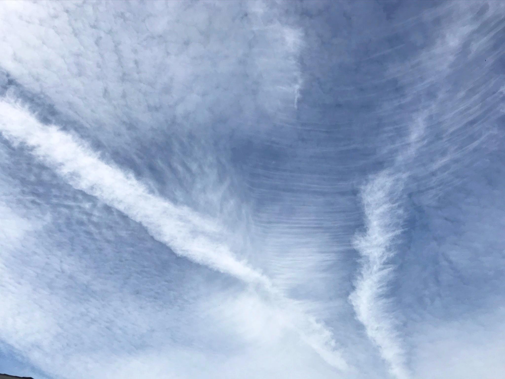
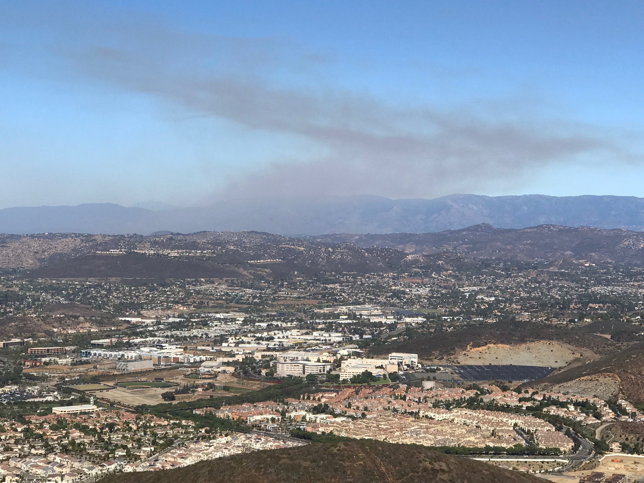
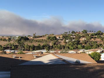
Fire, Smoke, & Contrails
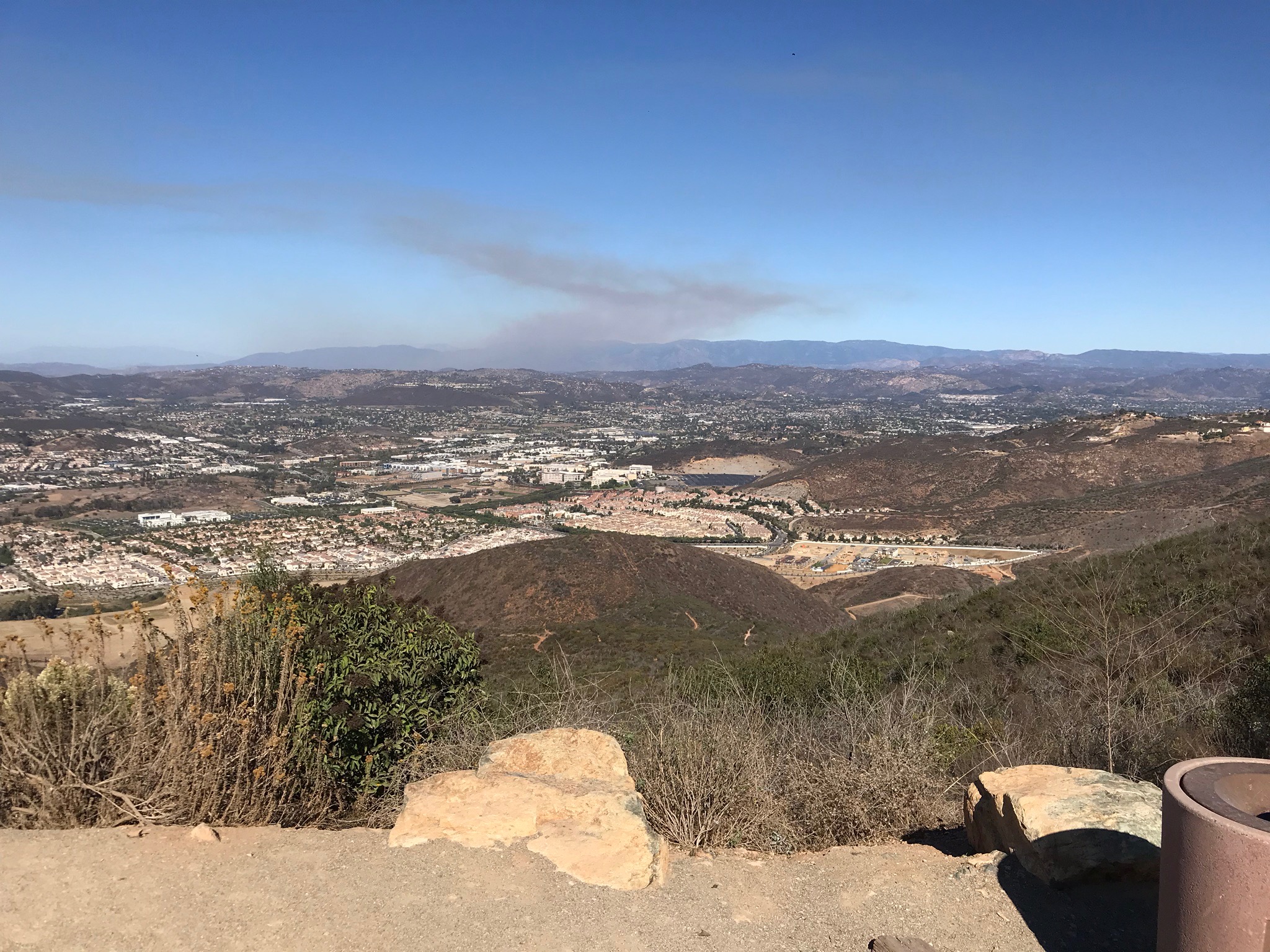
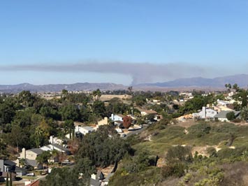
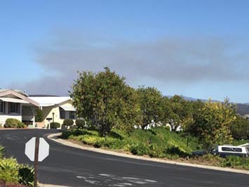
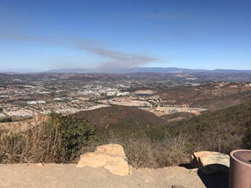
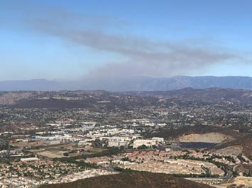
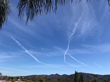
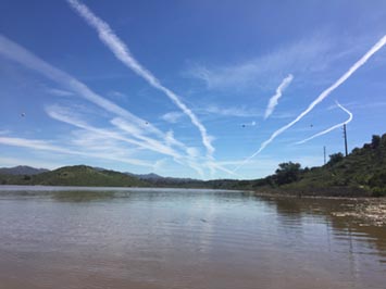
Wildfires are increasingly becoming a major source of air pollution in Southern California, Fall is wildfire season when the air is typically hottest and driest, and the region is subject to strong Santa Ana winds. Unfortunately most fires in coastal regions are now being started by human activity; lightning is more of a cause in the rural mountain regions. Atmospheric pollution come from the local urban sprawl, but fortunately air pollution control matters have seriously helped bring down pollution levels since their peak in the 1970s. Unfortunately, some of the pollution haze we are now seeing in California comes from pollution blowing across from China and surrounding region. Jet contrails are a very visible example of how human activity can affect cloud cover. |
 |
 |
 |
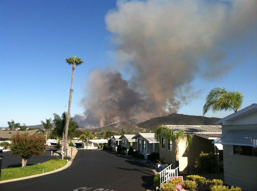
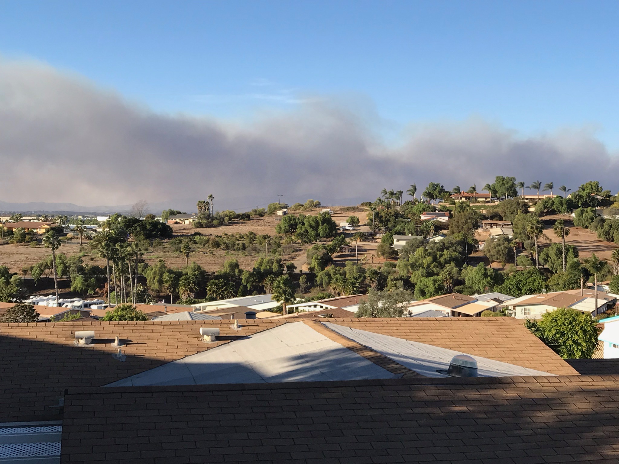
| Wildfire and smoke - 2014 fire in San Marcos, CA |
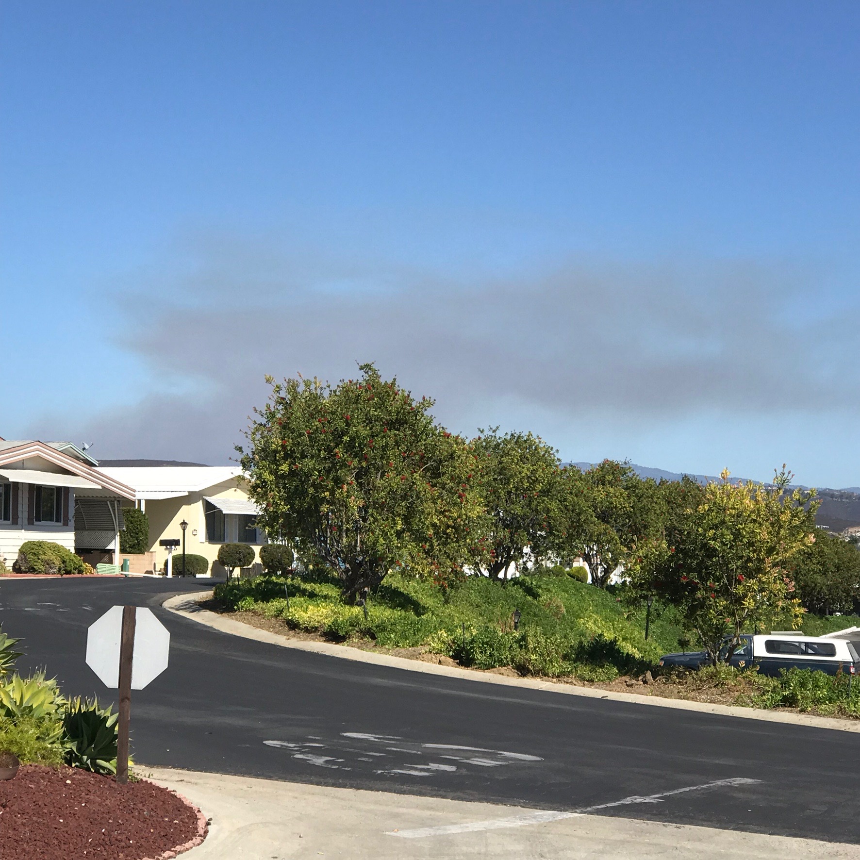
Wildfire smoke - Camp Pendleton, CA, 2019 |
Fire smoke - Camp Pendleton CA, 2019 |
 |
 |
|
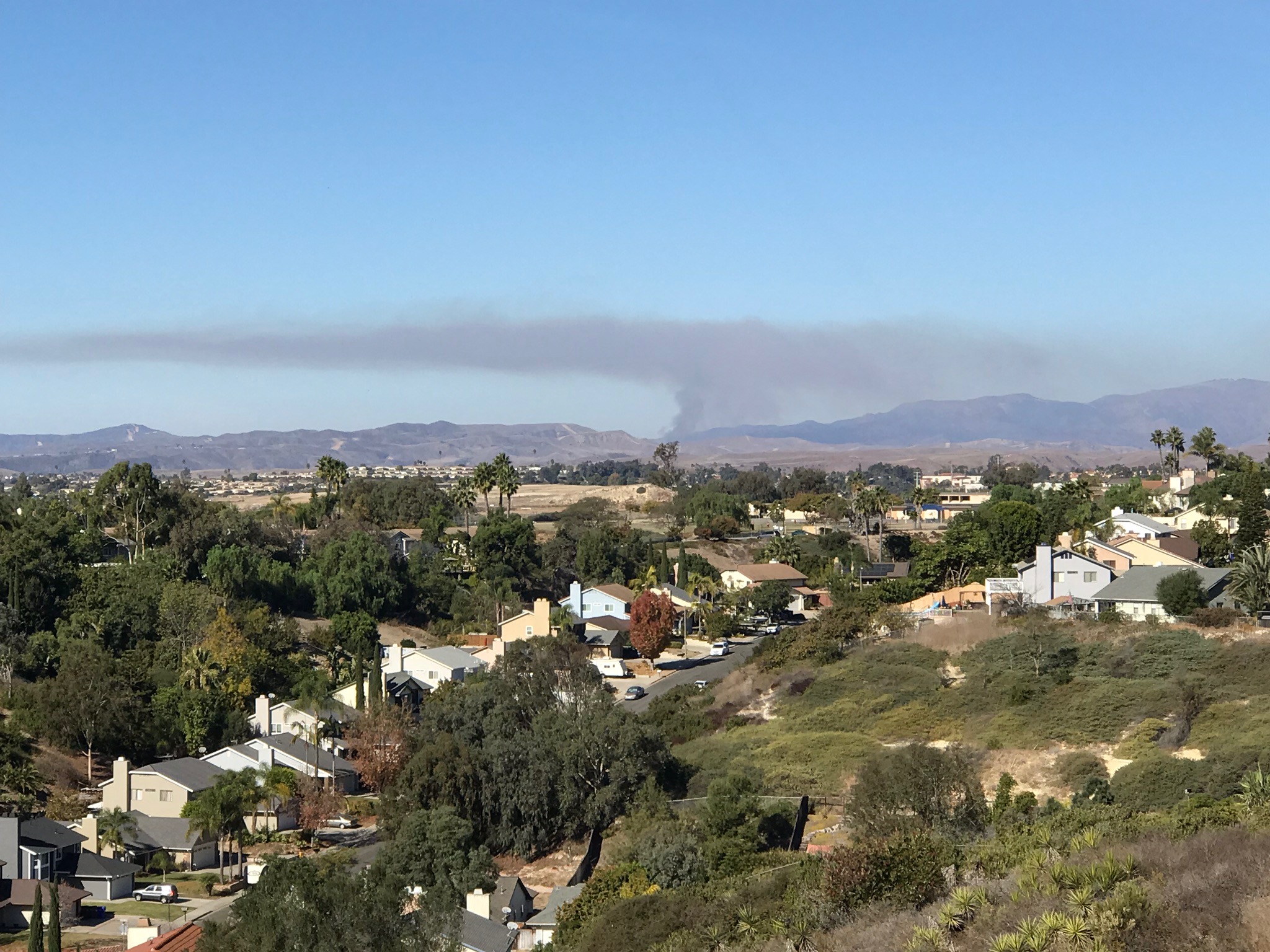
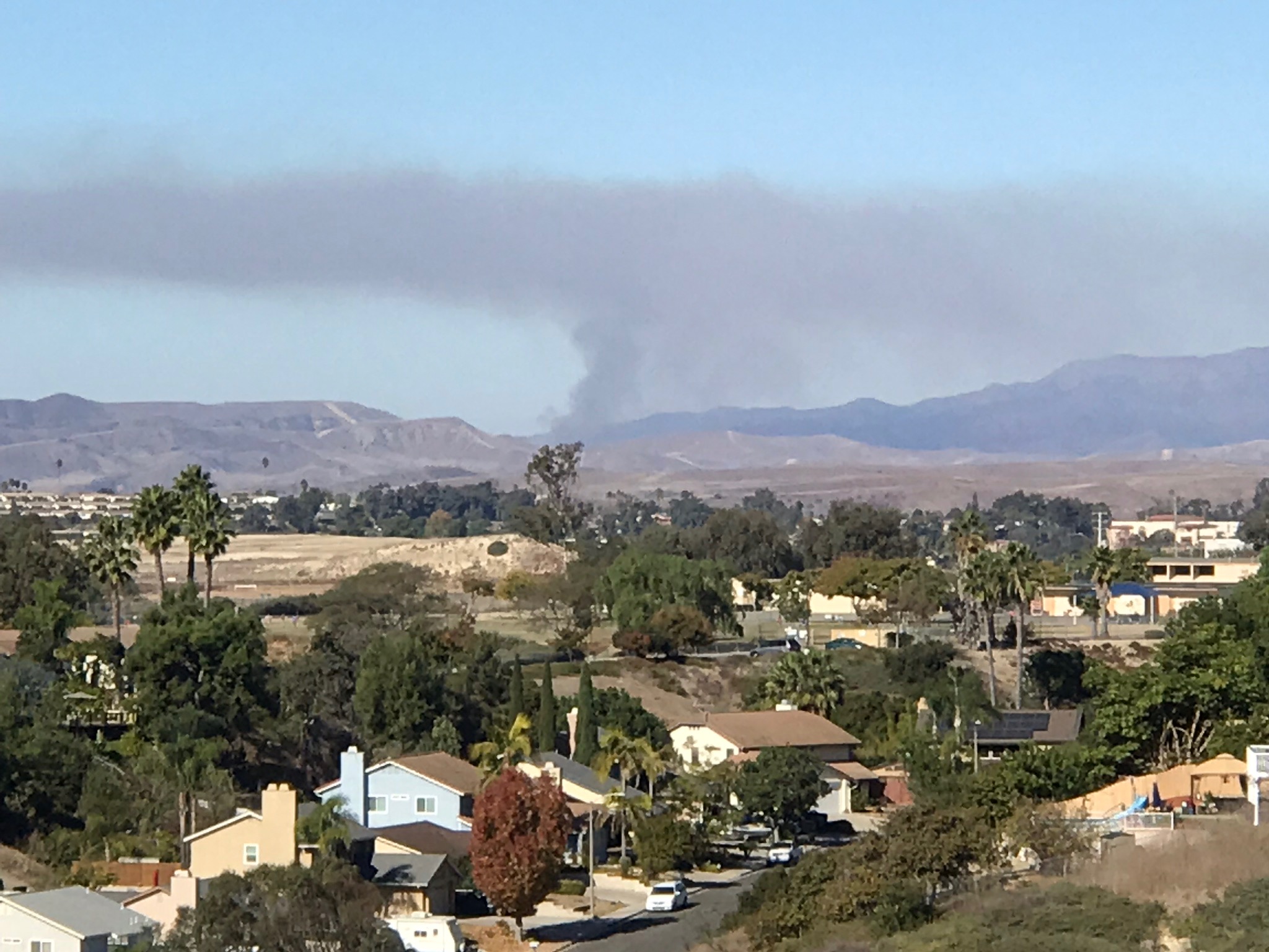
| Wildfire smoke from 2019 fire in Valley Center, CA |
Wildfire smoke from 2019 fire in Valley Center, CA |
Wildfire smoke from 2019 fire in Valley Center, CA |
 |
 |
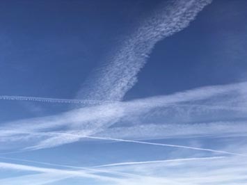 |
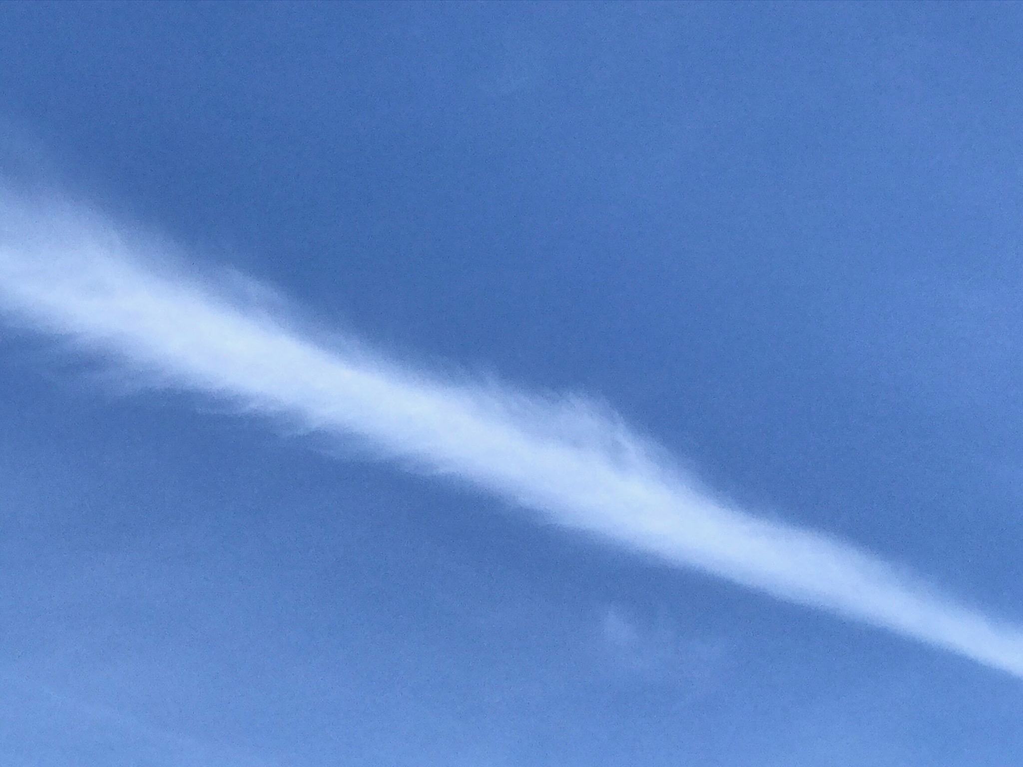
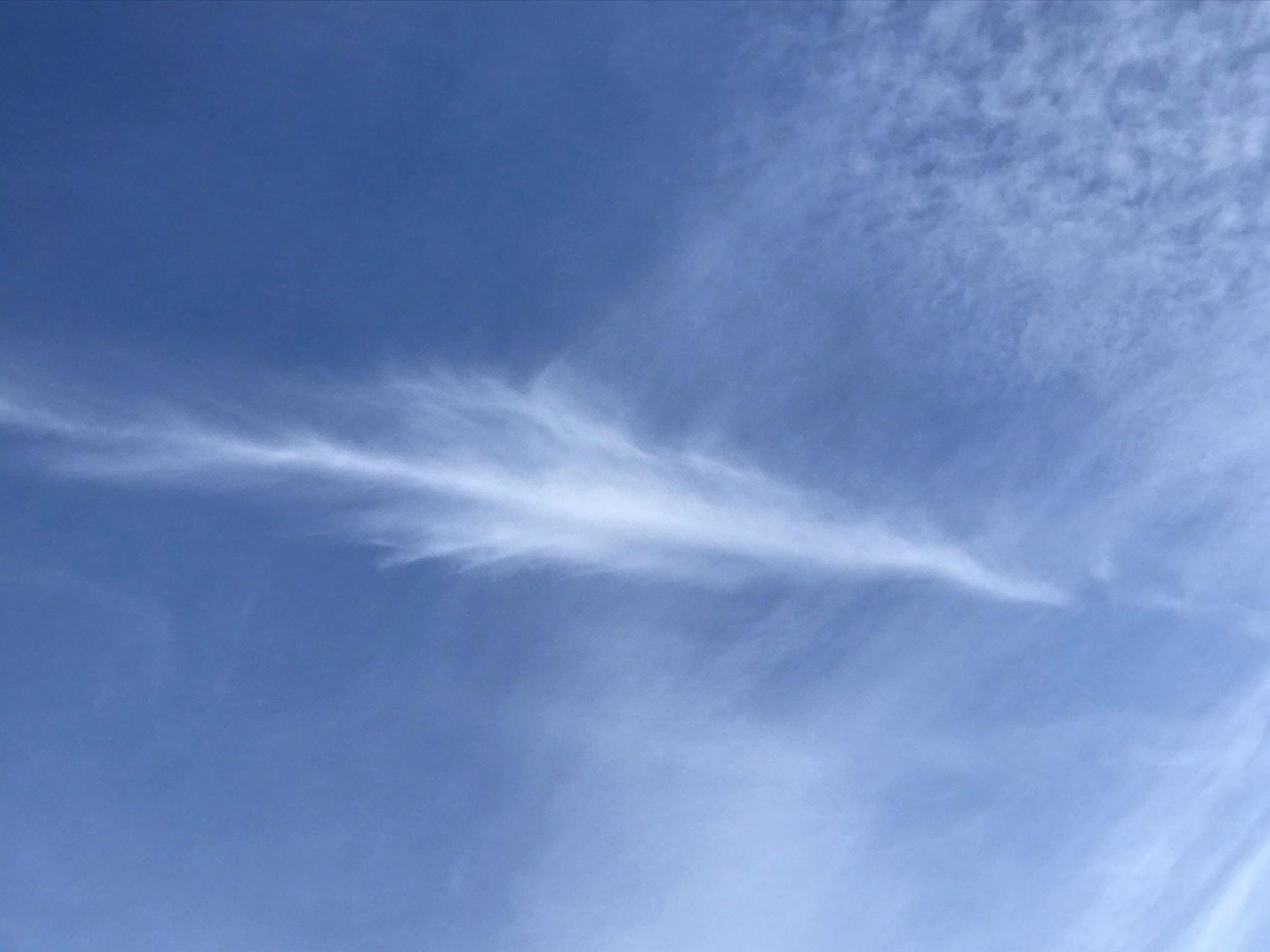
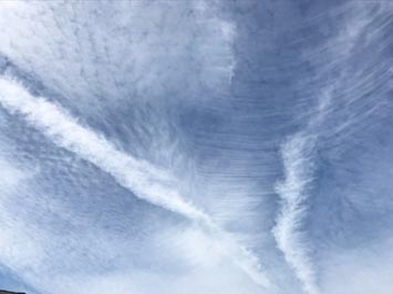
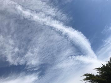
| Contrails with cirrus clouds |
Contrails morphing into cirrus clouds |
Overlapping contrails in different stages of dispersion. |
 |
 |
 |
| Contrails morphing into cirrus clouds (1) |
Contrails morphing into cirrus clouds (2) |
Contrails morphing into cirrus clouds (3) |
 |
 |
 |
| Contrails morphing into cirrus clouds (4) |
Contrails morphing into cirrus clouds |
Contrails morphing into cirrus clouds |
1.17
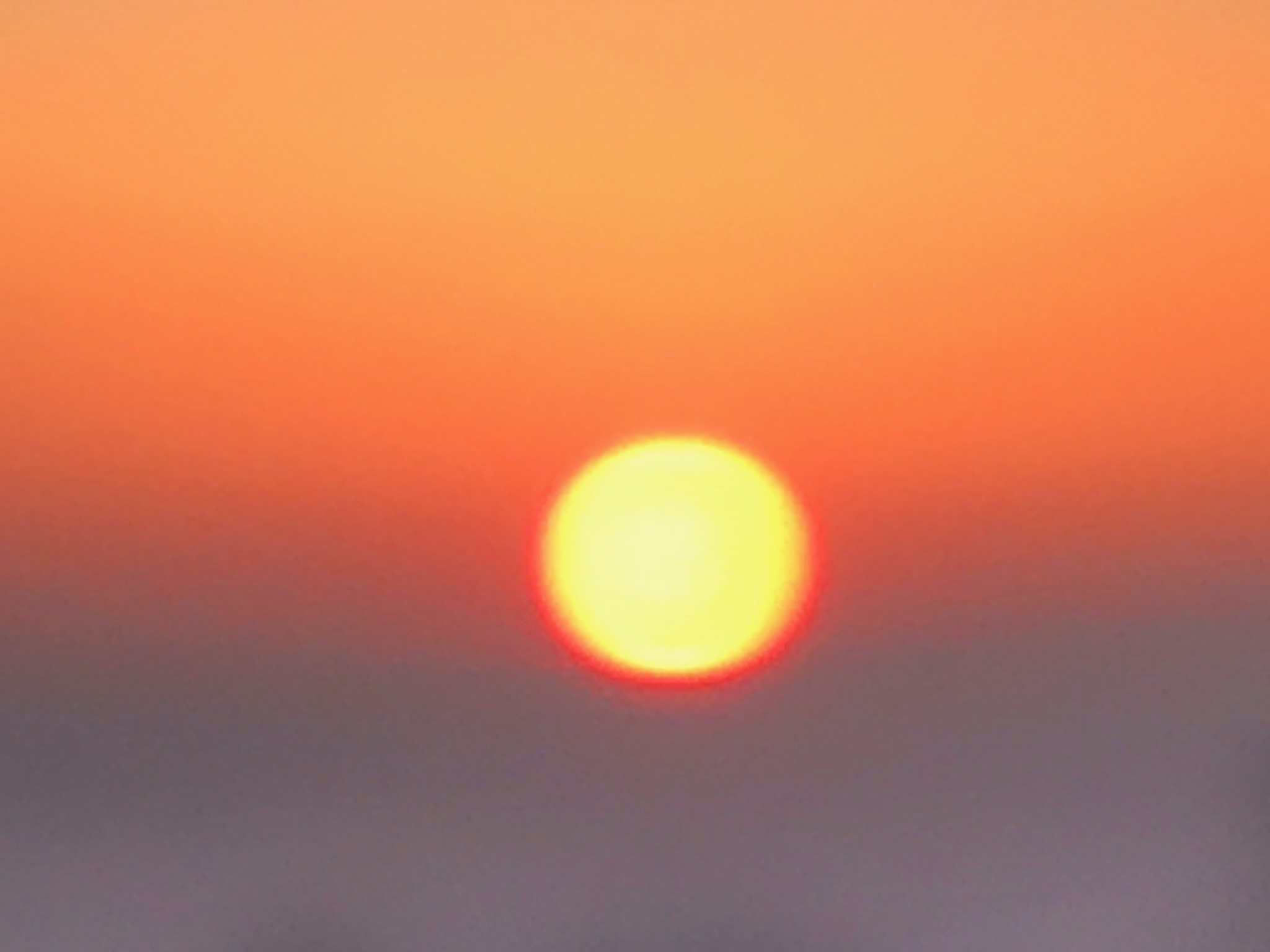
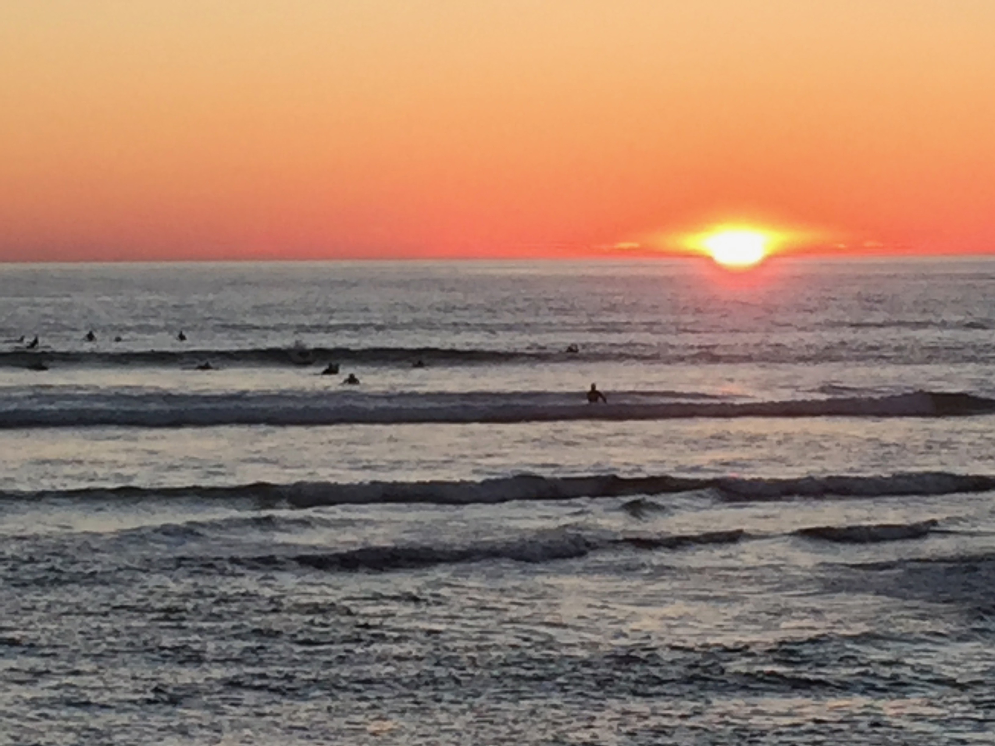
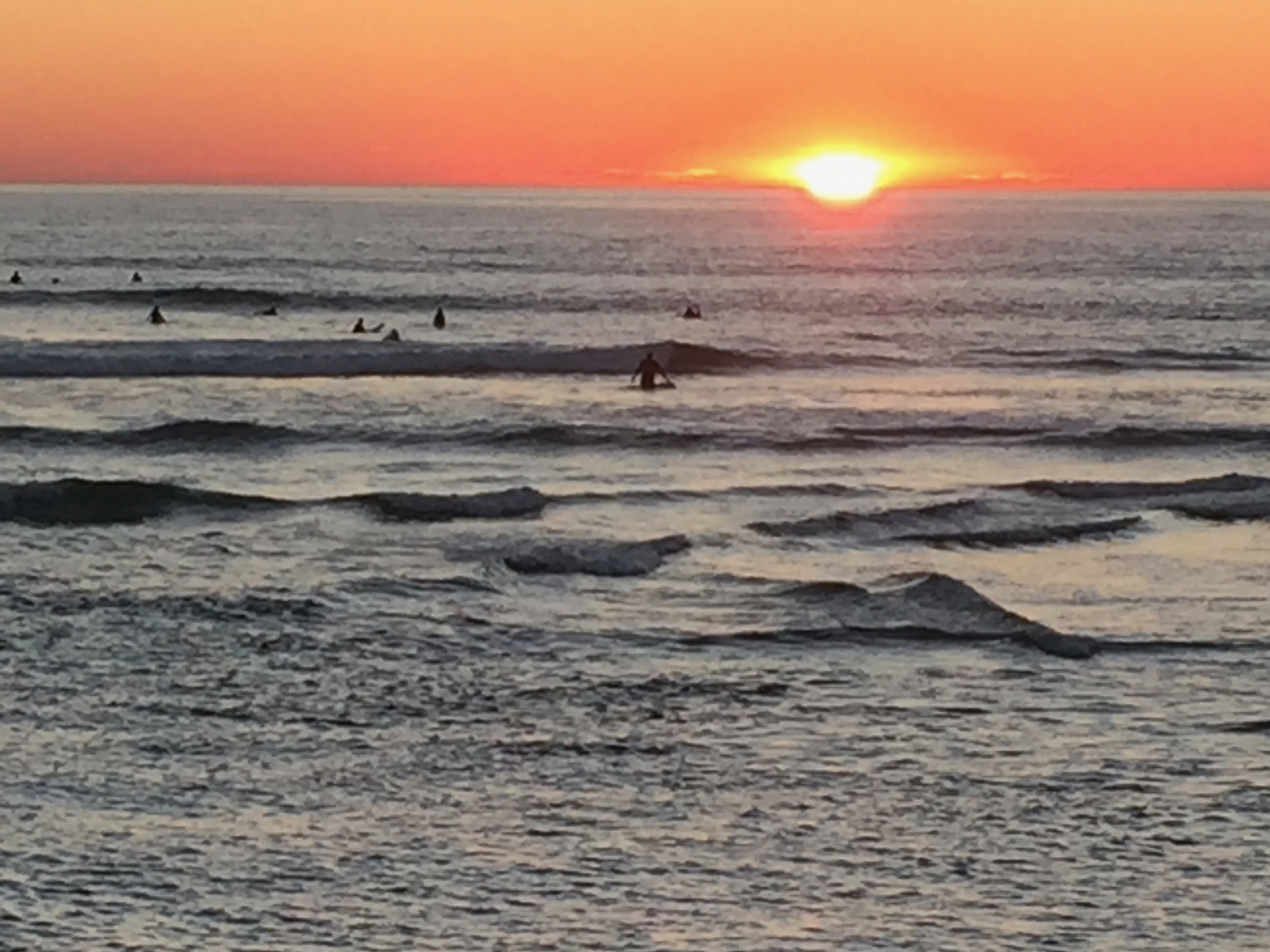
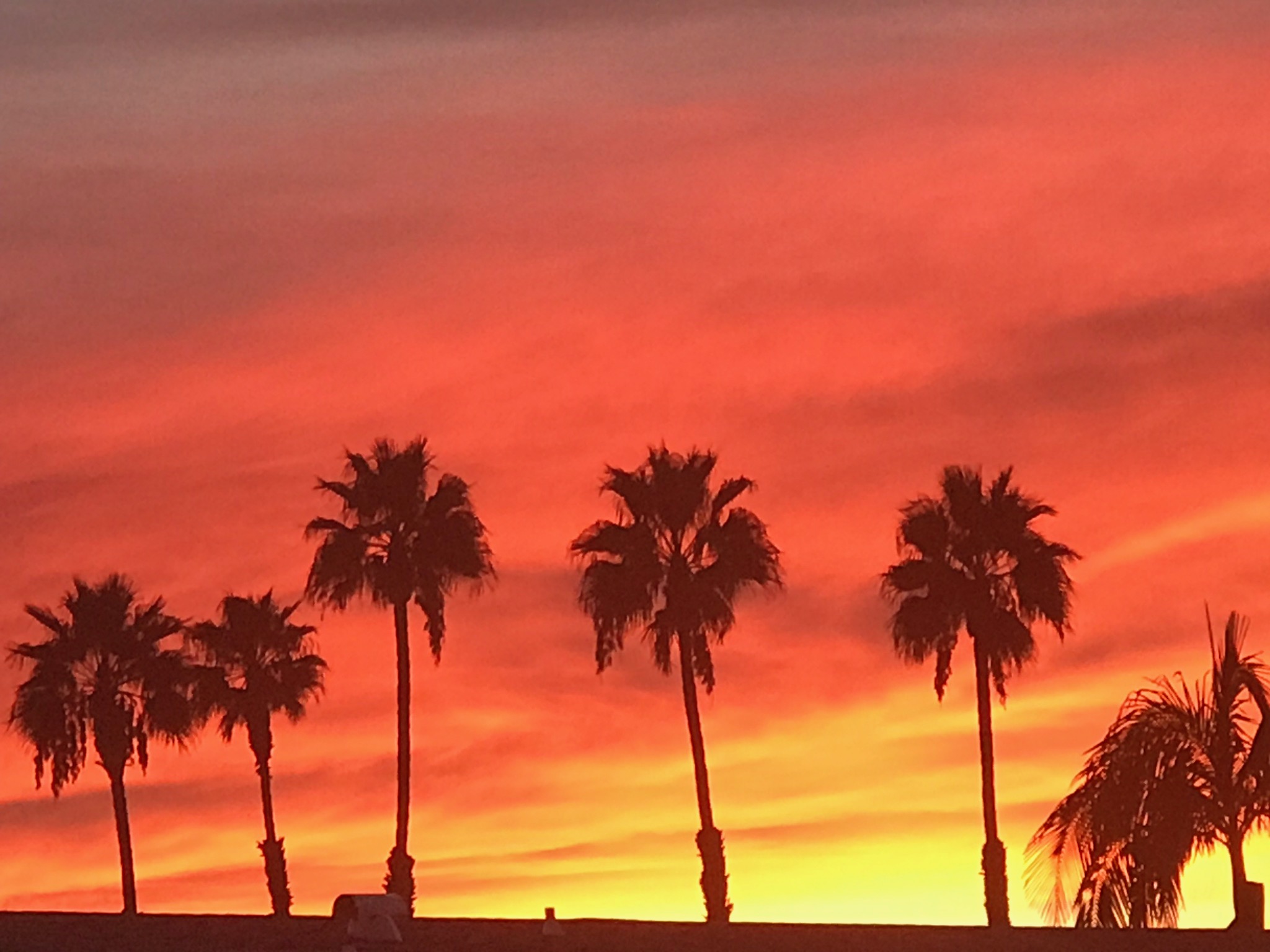
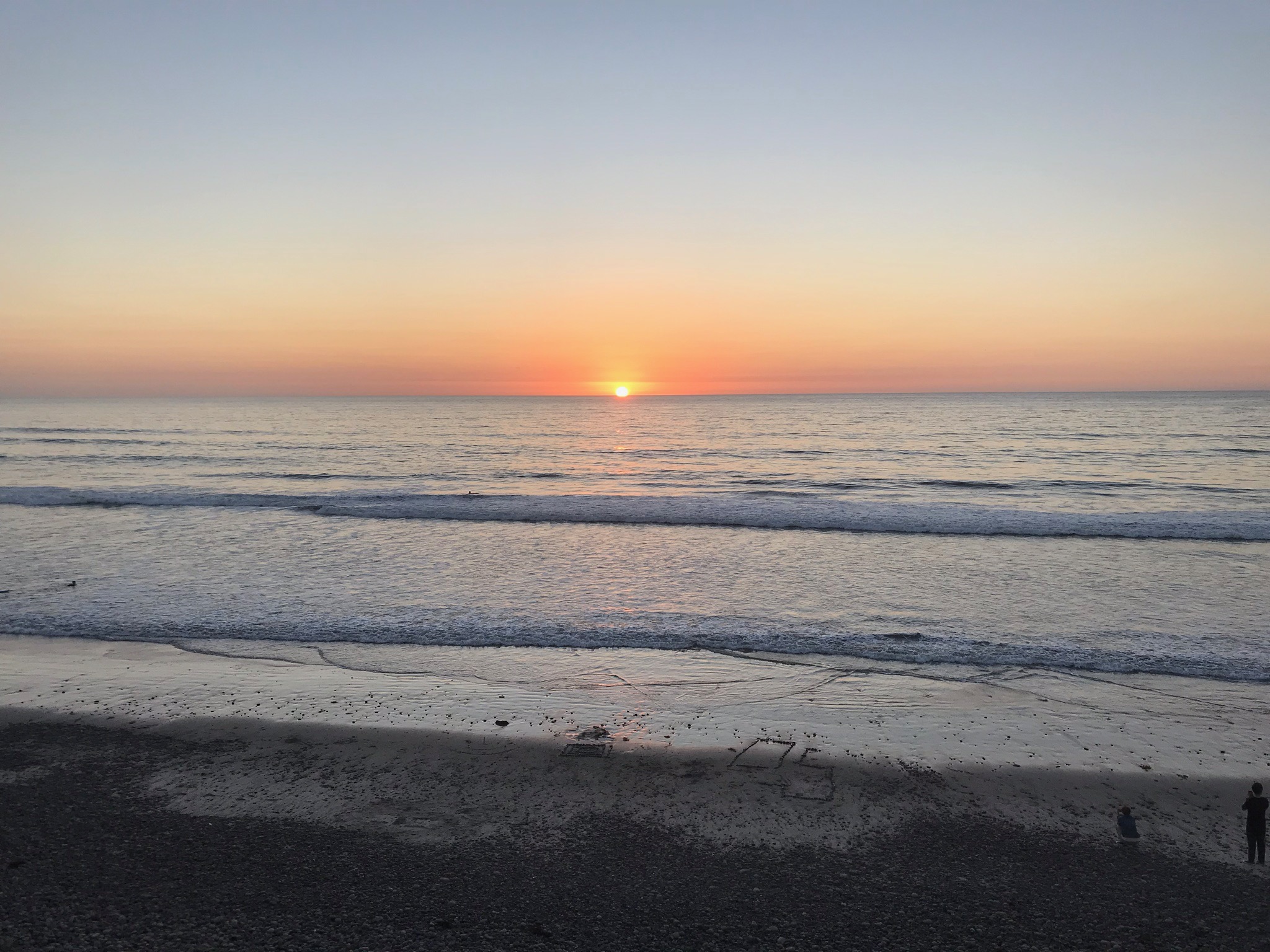
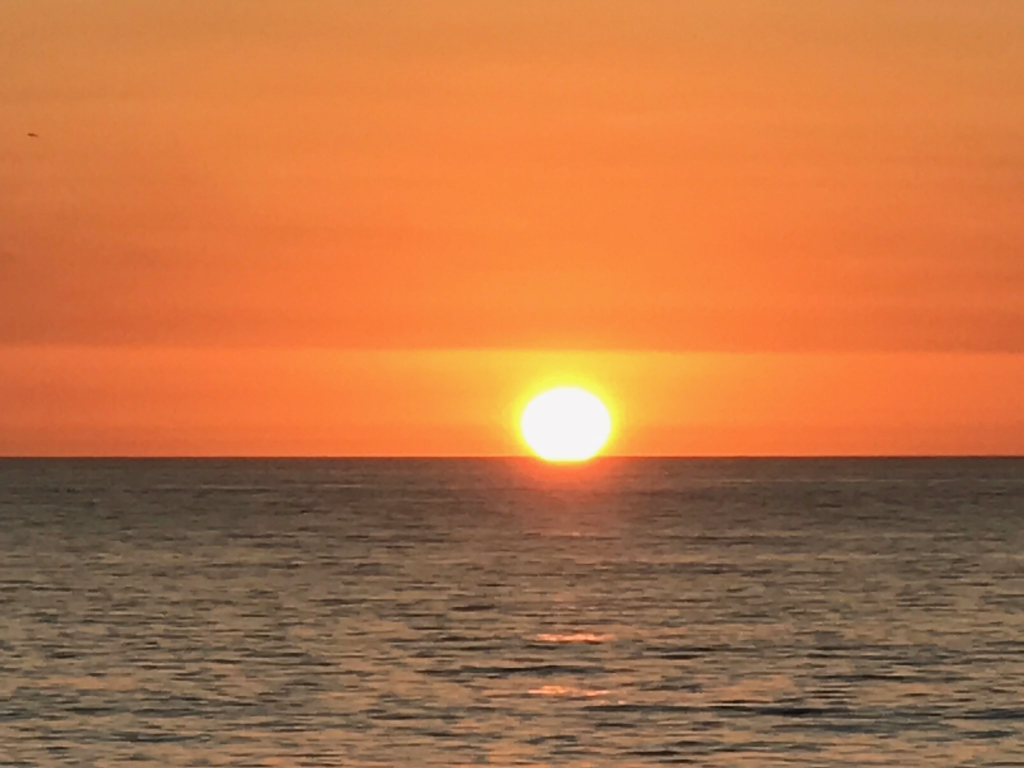
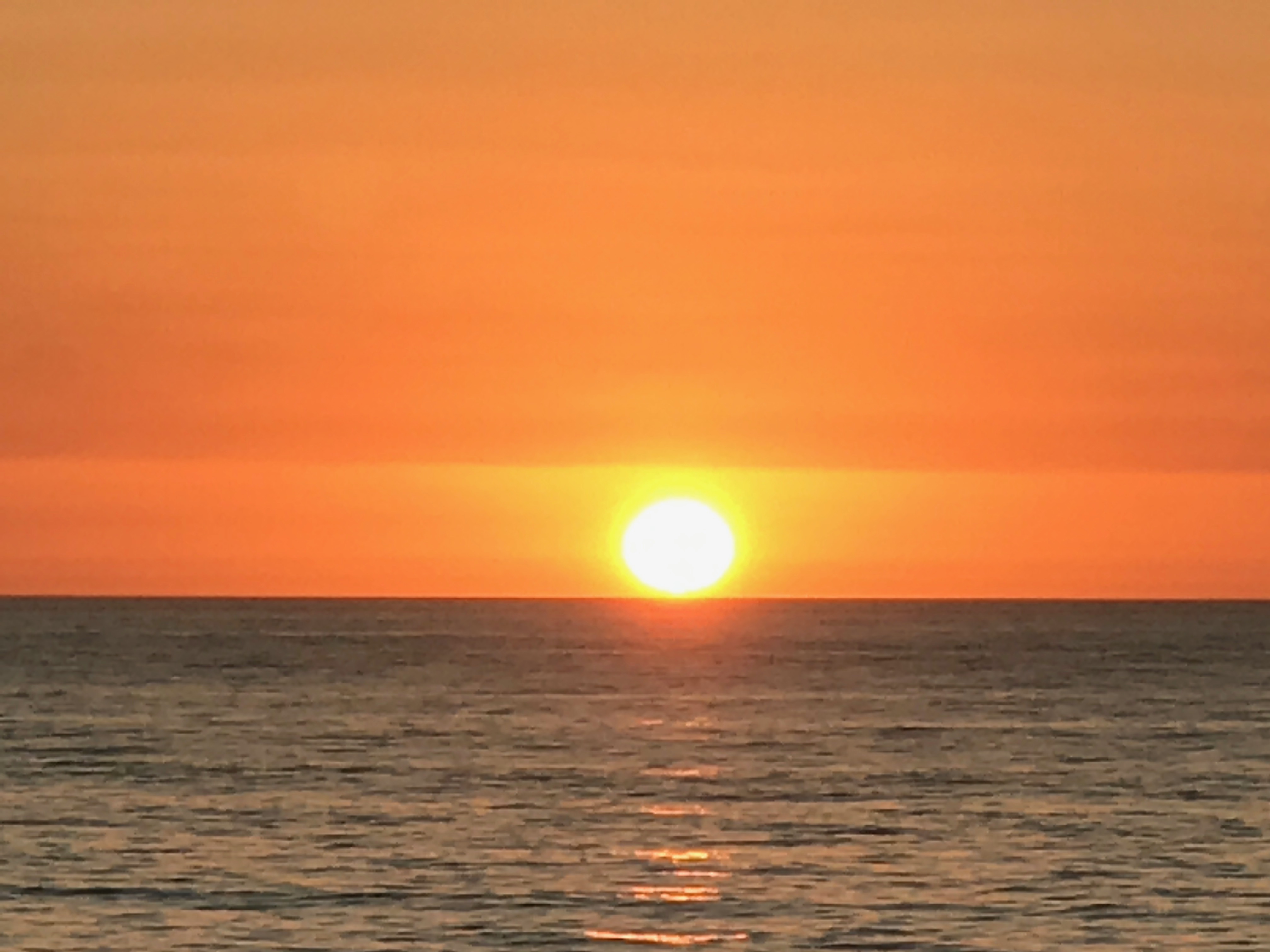
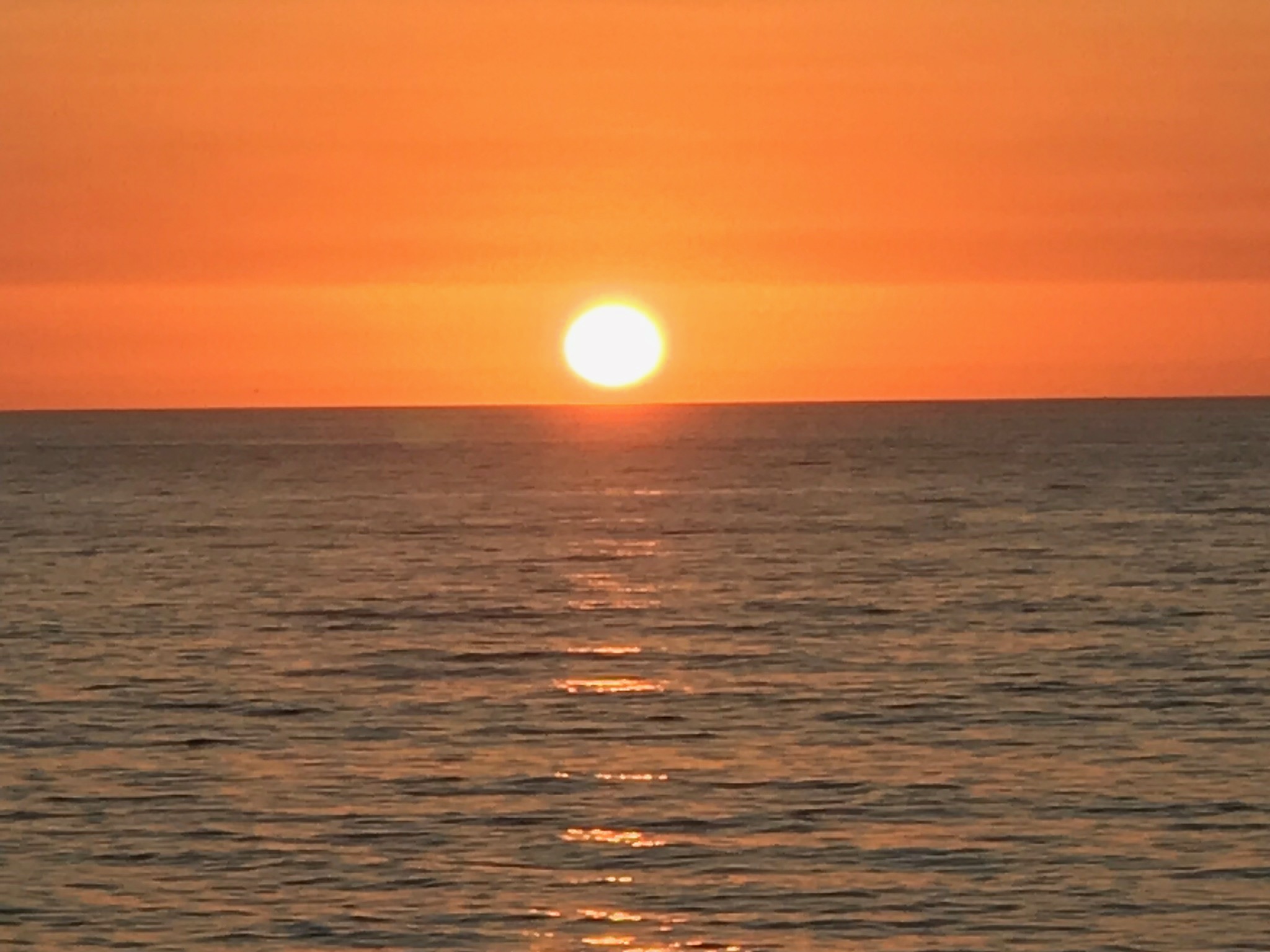
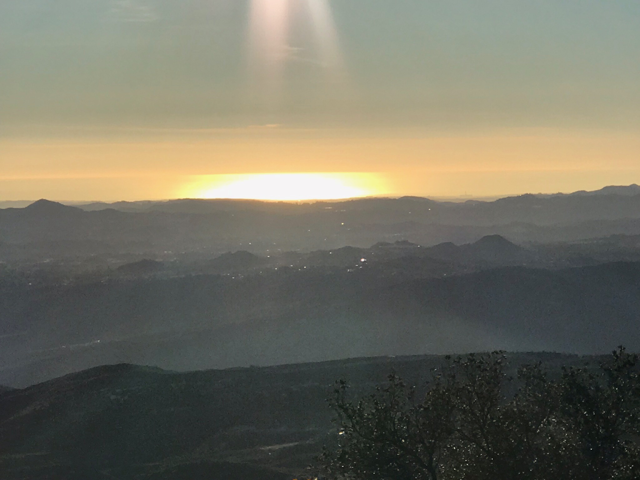
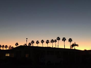
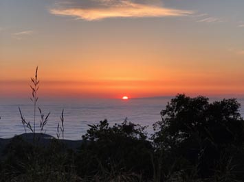
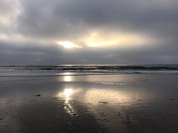
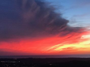
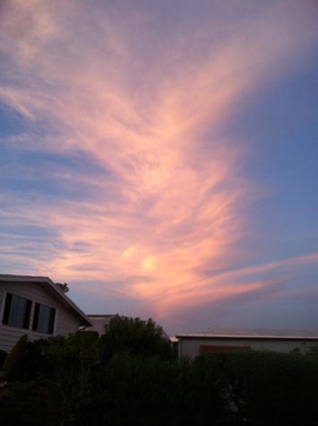
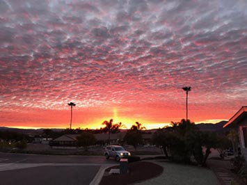
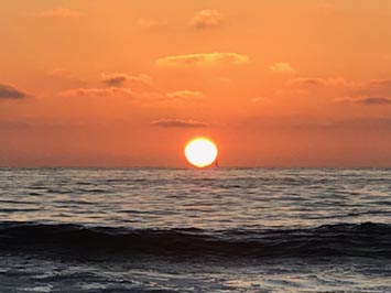
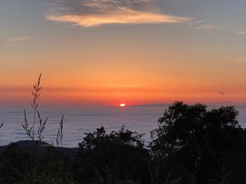
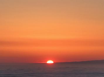
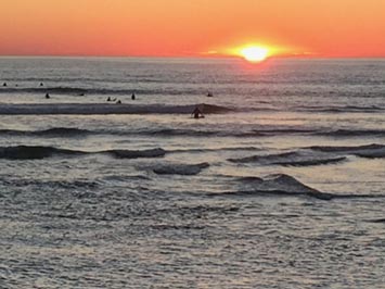
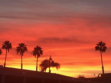
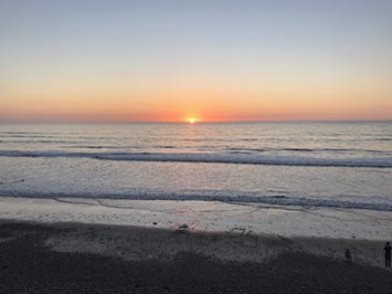
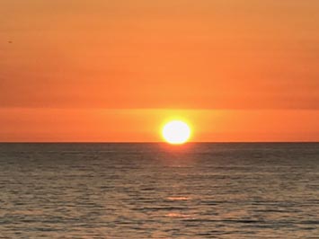
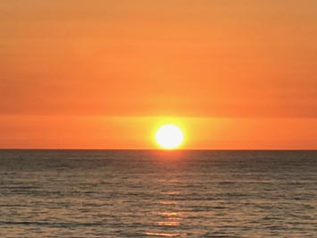
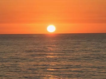
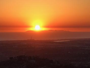
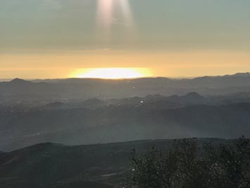
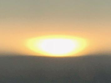
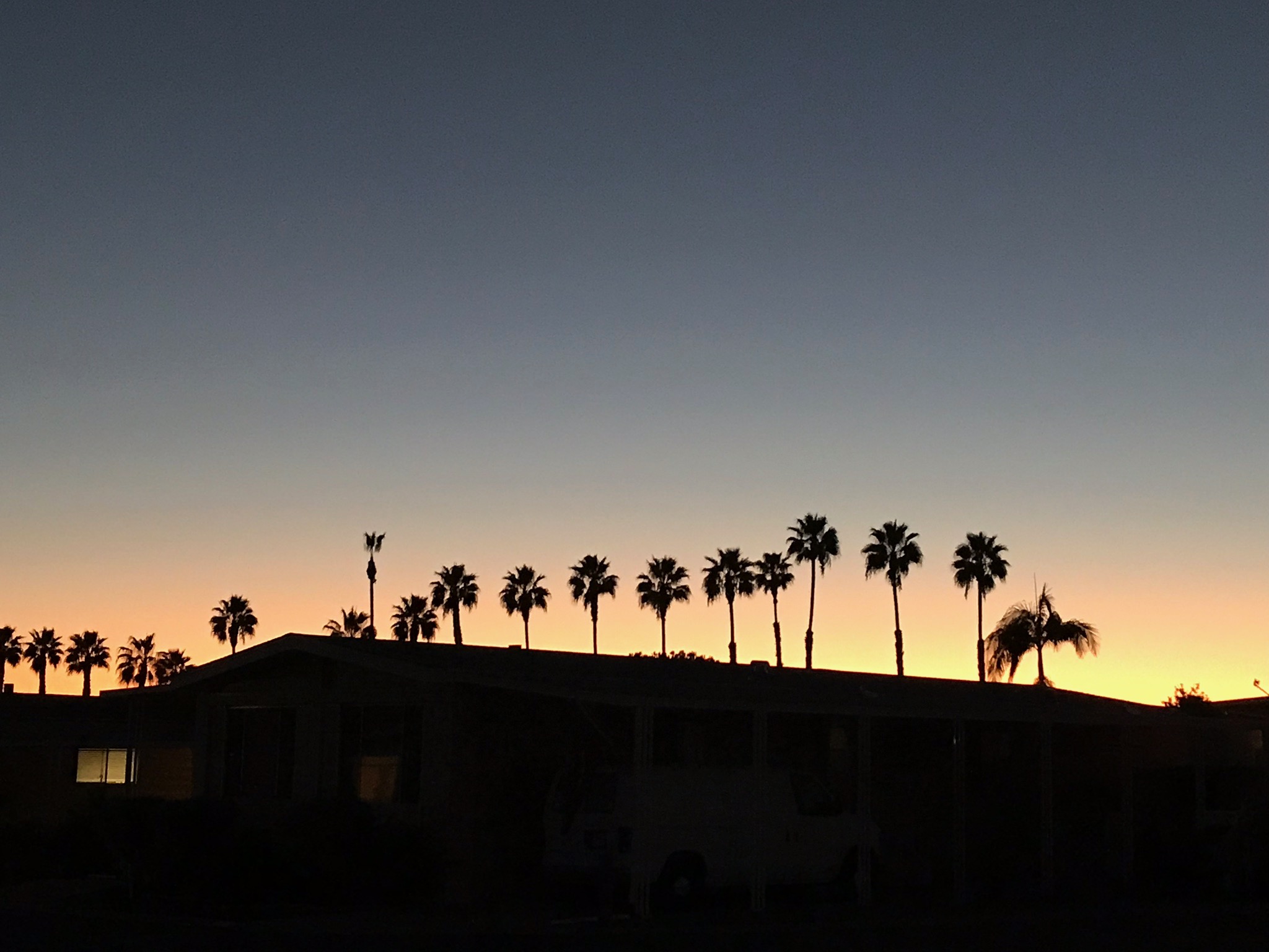
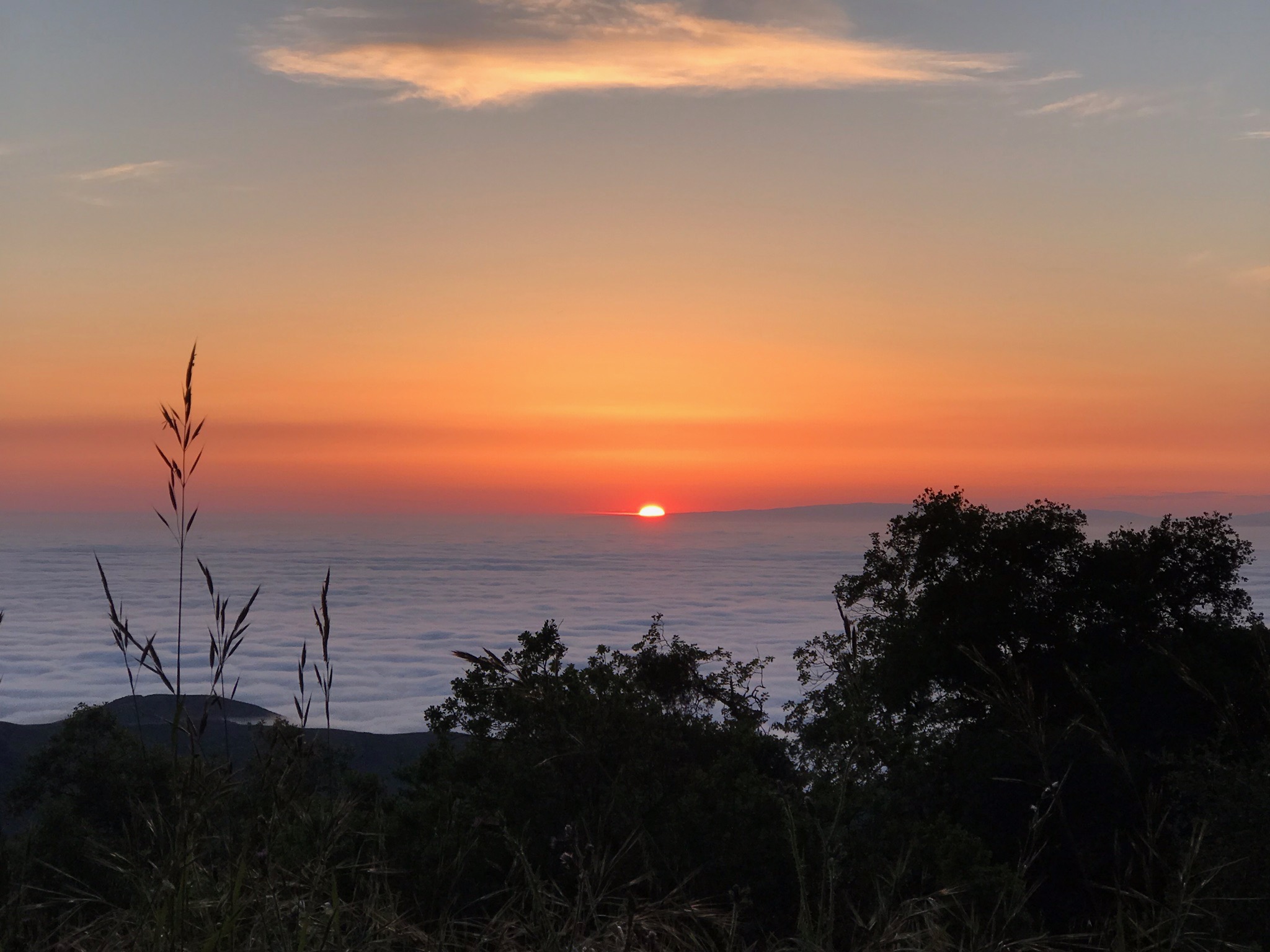
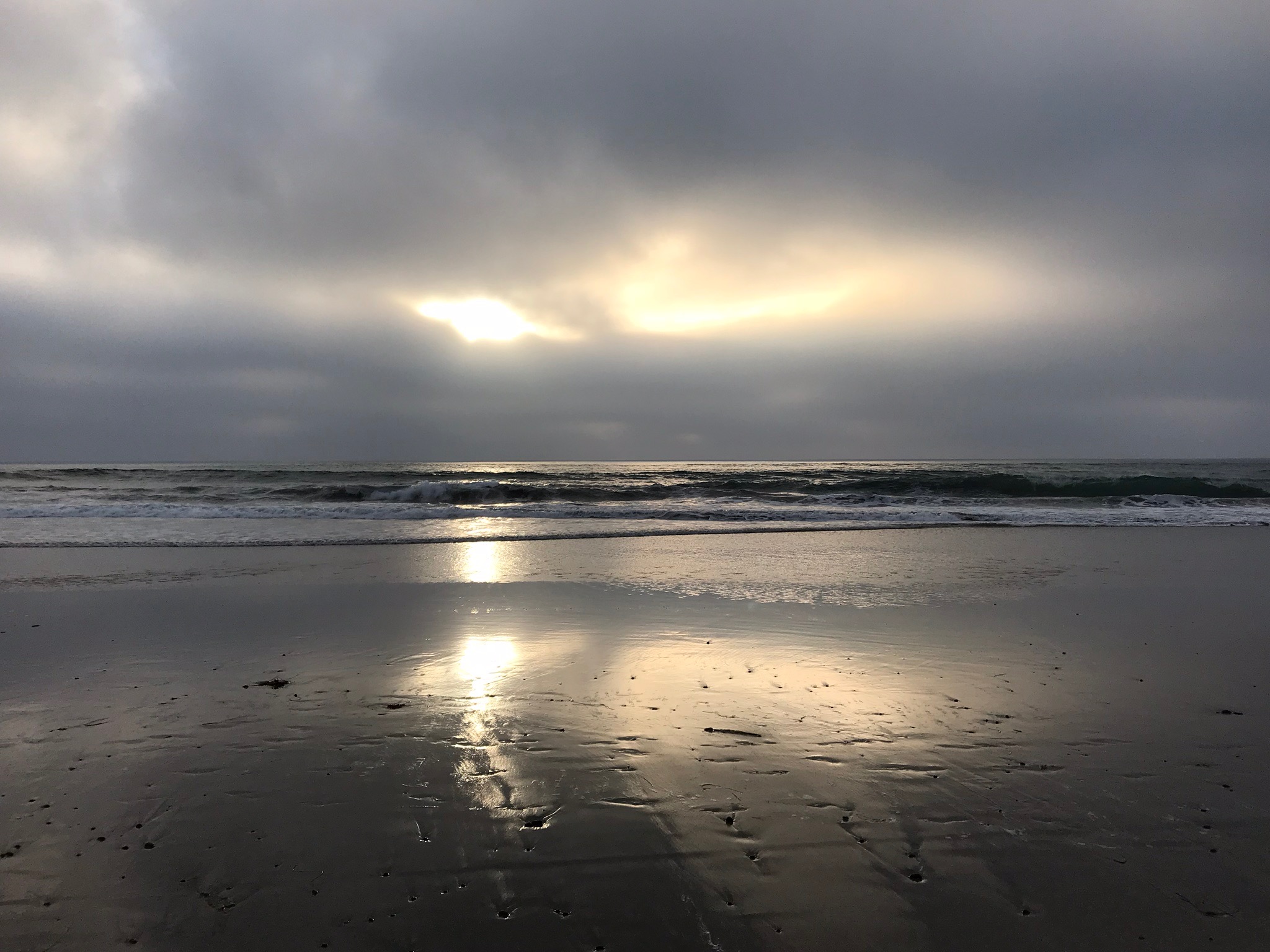
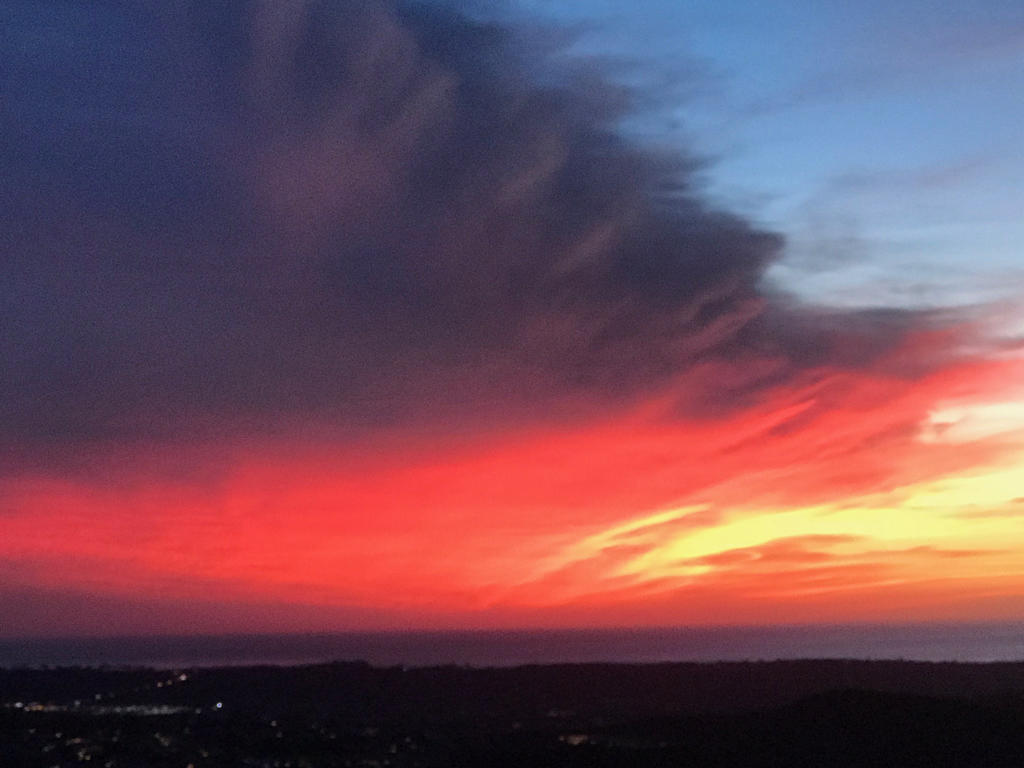
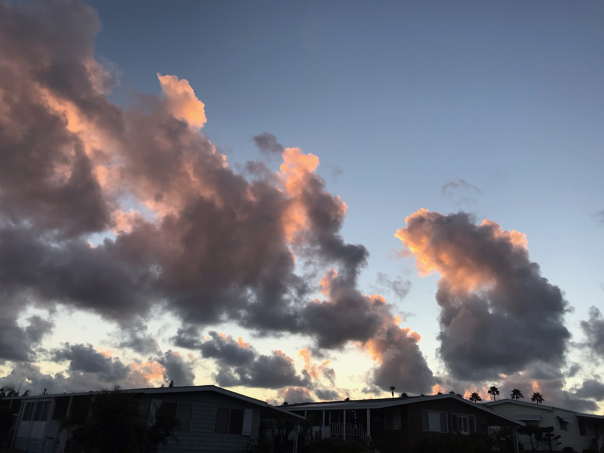
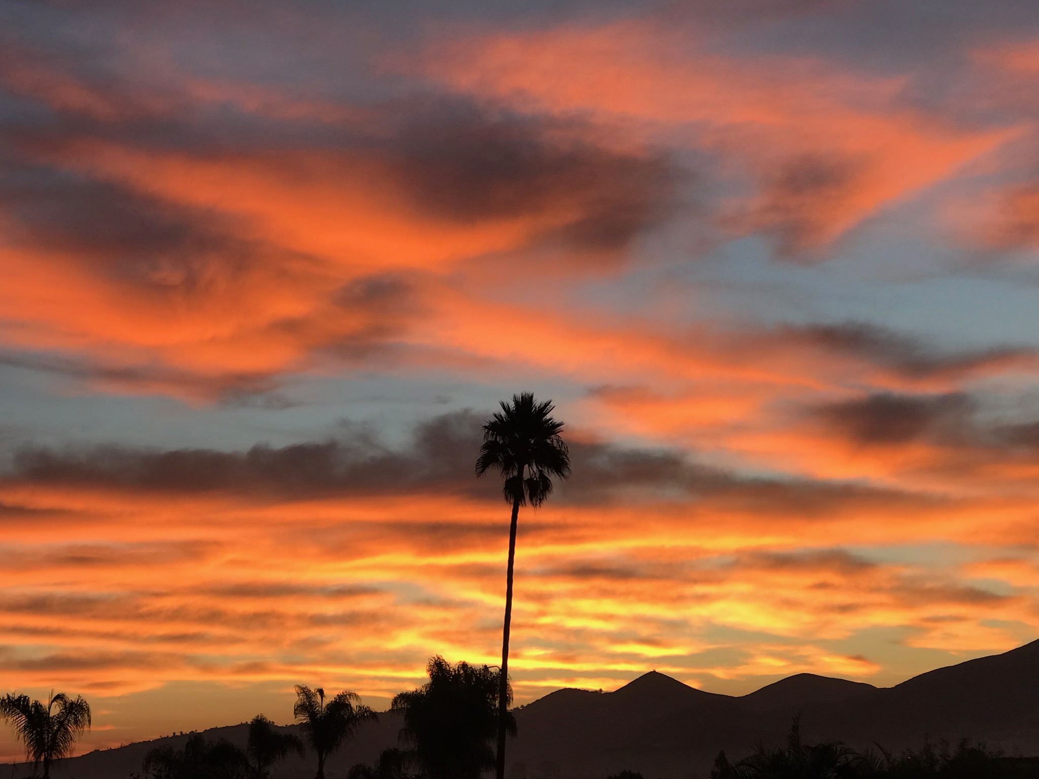
San Diego Sunsets
SoCal is host to sinking winds resulting in clear or nearly clear weather most days of the year. As a result, most days have spectacular sunsets.
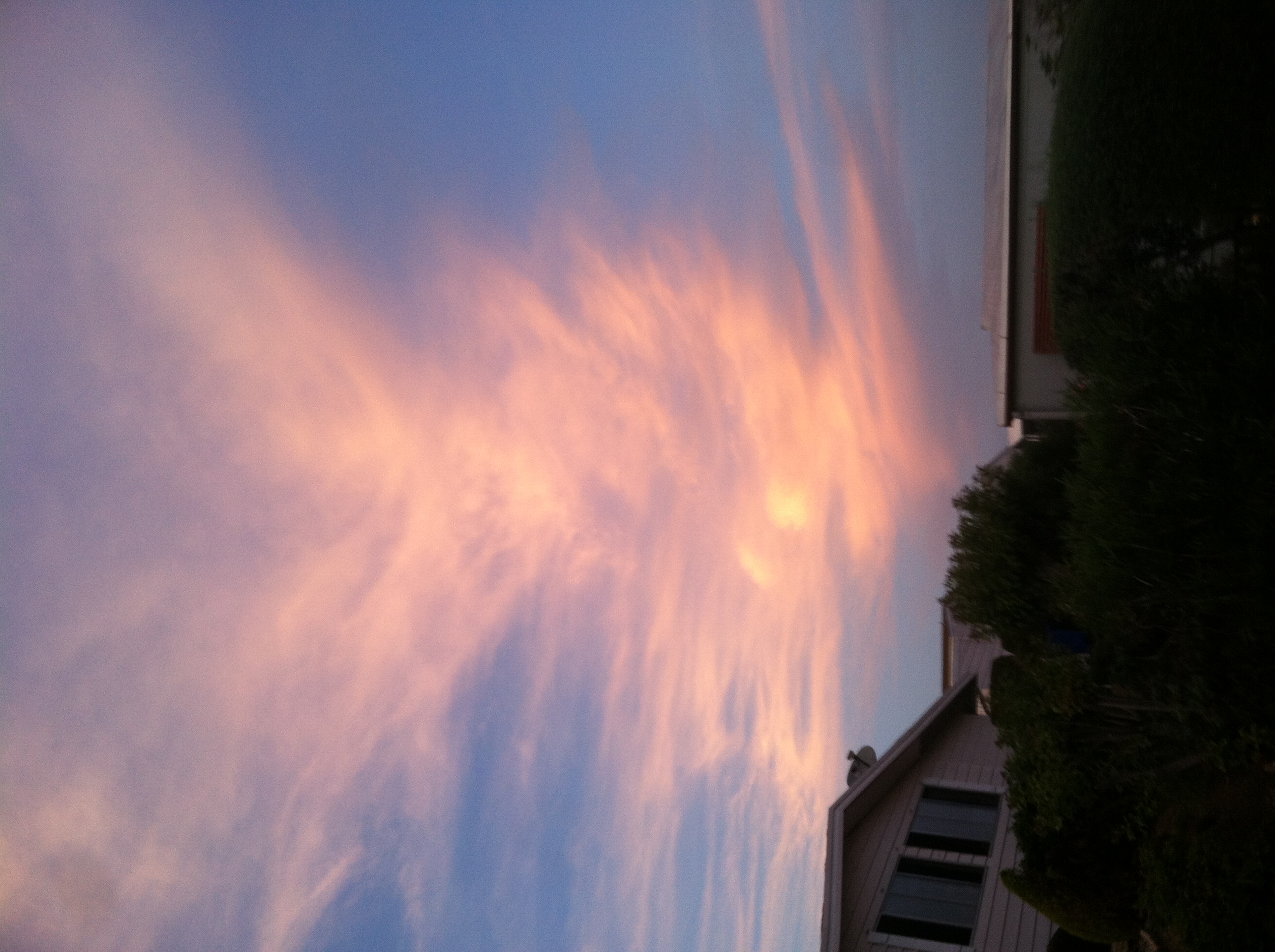
On average, San Diego has 266 sunny days per year. The national average for the United States as a whole is 205 sunny days. The beautiful red sunsets over the ocean (and less-seen sunrises over the mountains) get their red color from the dispersion and absorption of wavelengths at the blue end of the visible spectrum. As the sun sinks onto the ocean horizon, thin layers of stratus to cirrus clouds, and layers of air with different temperature and moisture content will distort the shape of the sun as it sets. |
 |
 |
 |
 |
 |
 |
 |
 |
 |
 |
 |
 |
 |
 |
 |
 |
1.18
The World Meteorological Organization has produced an excellent description of clouds with their International Cloud Atlas which includes an image gallery and a glossary of cloud-related terms that are used on this website. The Audubon Society Field Guide to North American Weather was used to compile this website.
|
|


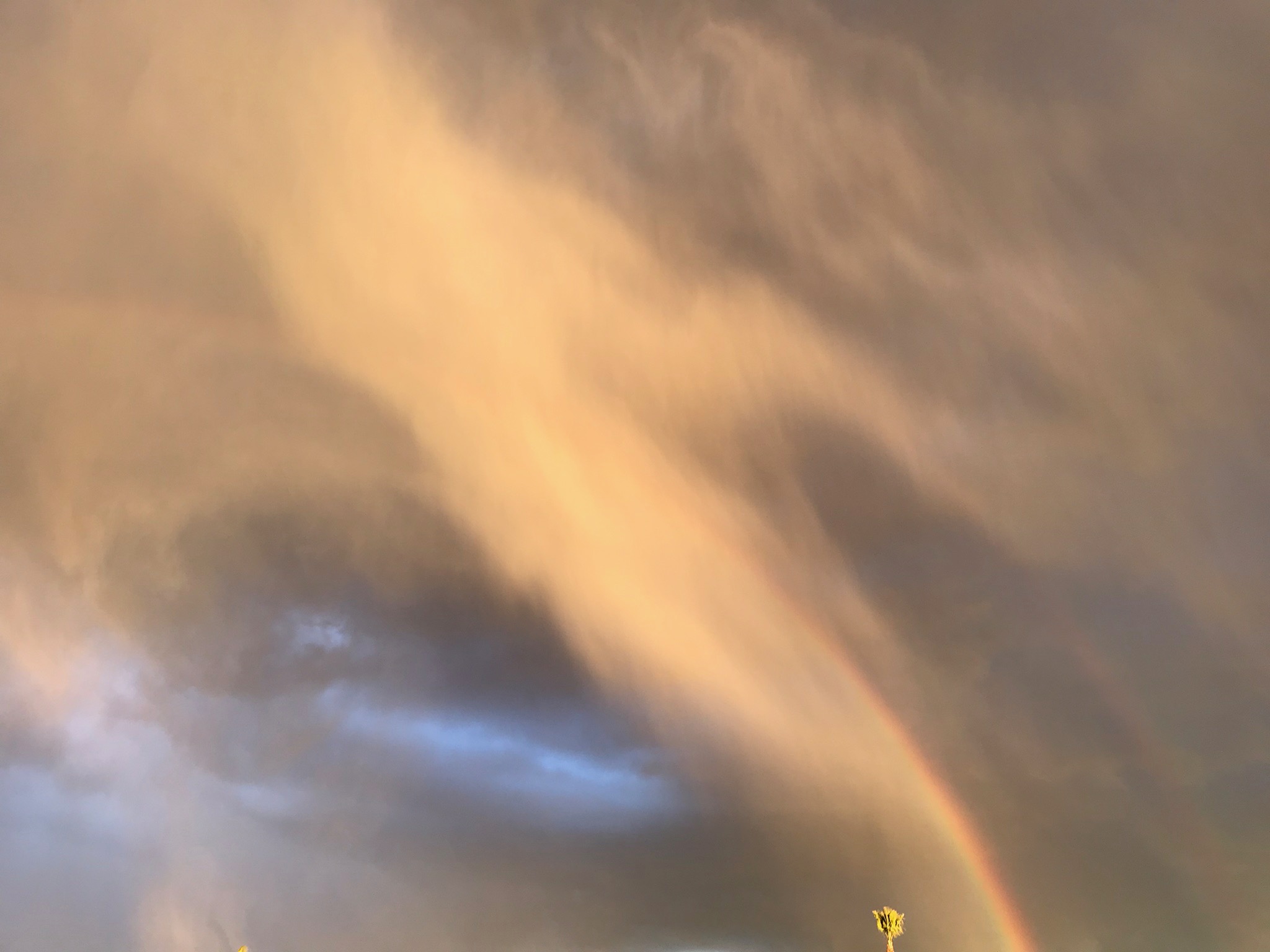
 Rainbow in late afternoon sunlight loosing its green, blue, to violet portion of the spectrum due to atmospheric dispersion and absorption.