|
Lake Hodges Recreation Area - Photo Tour |
|
B1
This website provides a photographic tour of the Lake Hodges Recreation Area. The discussion and photos below are a partial review of what to see in the Lake Hodges Area. The images presented here were taken between the years of 2013 and 2020 over all seasons of the year. Most of the images were taken from along trails associated with the San Diego River Parks system. Others were taken during kayaks excursions on the lake.
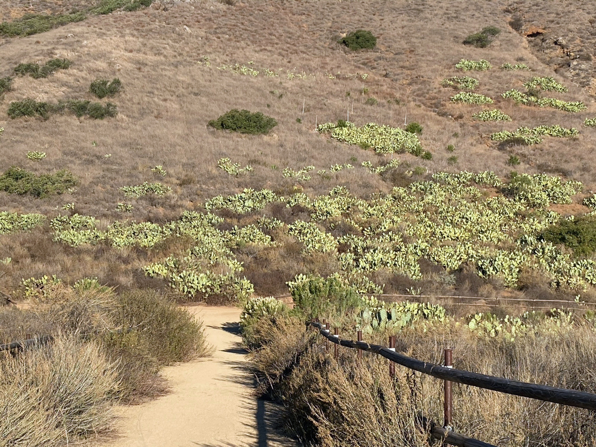
Note that there has been significant changes to the vegetation on the landscape over the period that these photographs wee taken. The Witch Creek Fire of 2007 burned through the whole area. Only small patches of the landscape were not burned, and those areas are now refugia for many species that once dominated larger areas of the landscape. A period of severe drought between 2011 and 2017 also contributed significant damage. Conservation effort are underway to re-establish native species to burn areas and remove invasive species with varying degrees of success.
This website is a companion to:
|
Click on images for a larger view. |

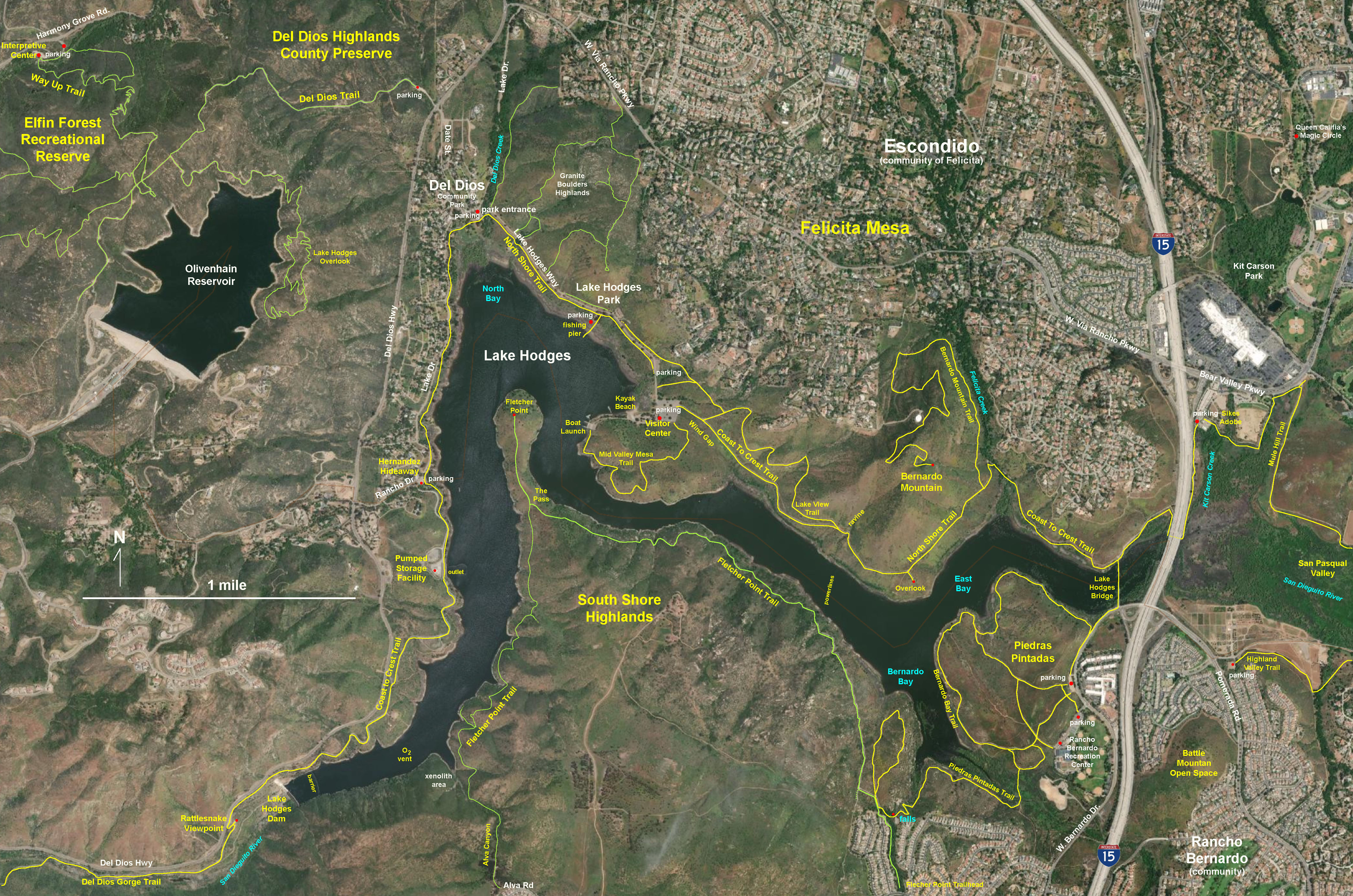
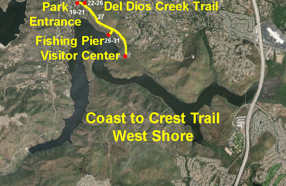
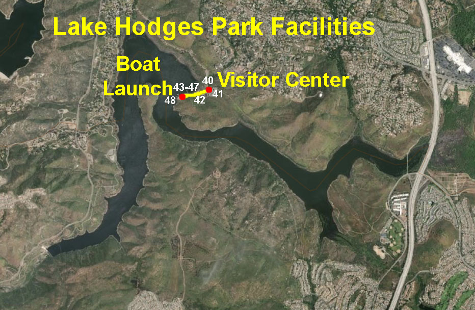
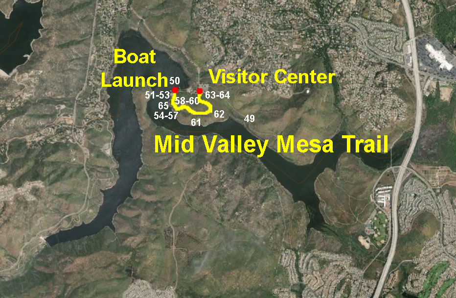
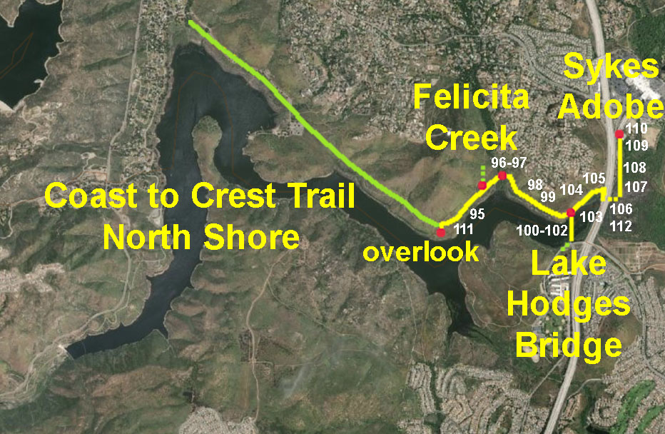
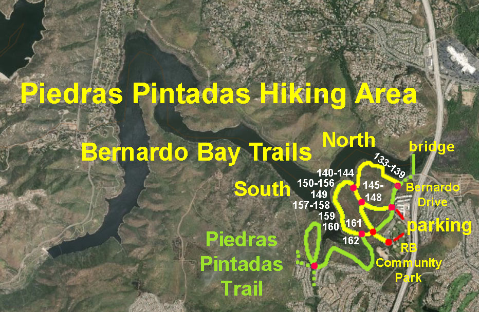
Fig. 1. Satellite map showing trails and landscape features of the Lake Hodges Recreation Area and vicinity. |
B2
Trails, Boating, and Park Facilities
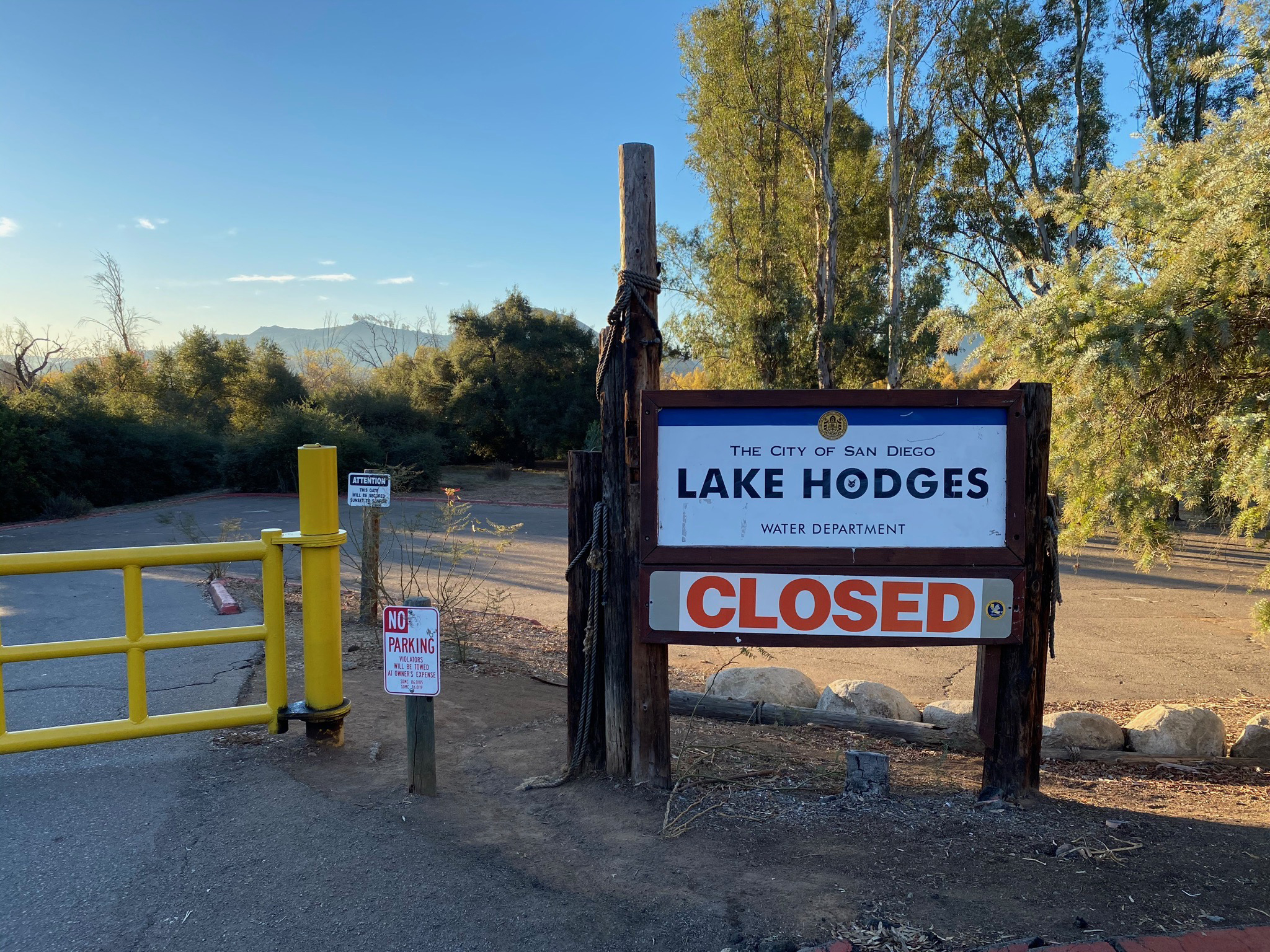
Lake Hodges facilities are only open on Wednesdays, Saturdays and Sundays, and are closed December through January (during bird nesting season). This applies to access to Lake Hodges Visitor Center, driving on park road and parking areas, and fishing and boating access to the reservoir.
San Dieguito River Park Trail hours: Open: 6 A.M. Daily, Close: 6 P.M. Oct. 1 - March 31; 7:30 P.M. April 1 - Sept. 30. Night time trail use is prohibited.
The park facilities and trails may be closed during stormy weather or during high-risk wildfire warning periods. For more information see the Lake Hodges website (City of San Diego).
Developed and maintained sections of the Coast to Crest Trail runs along the North Shore of Lake Hodges and the Piedras Pintadas Trails on the south shore. Below Lake Hodges Dam, the trail continues westward as the Santa Fe Valley and Del Dios Gorge Trail. To the east of Lake Hodges, the trail system continues through the San Pasqual Valley as the Mule Hill Trail and Highland Valley Trail (east of I-15).
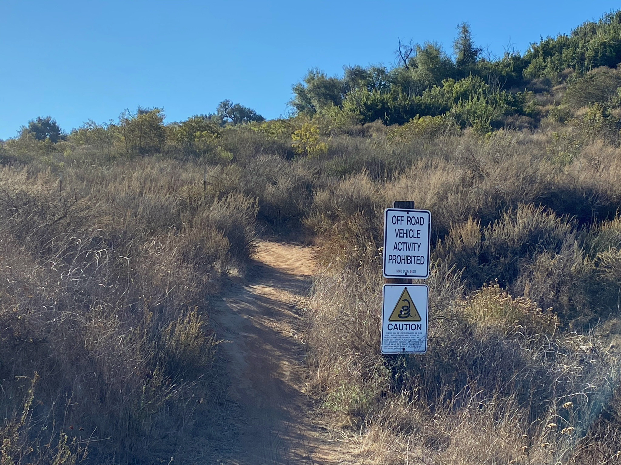
Some of the trail sections discuss below are on narrow paths with limited maintenance. During wet periods, these trails may become severely overgrown and largely inaccessible. Many former, unofficial trails are now closed for habitat restoration efforts. Note that encountering rattlesnakes, ticks, and other wildlife is always a possibility, and poison oak, cactus and other hostile vegetables may be encountered along the narrow trails.
|
Click on the small maps to see larger maps that show the location where pictures were taken.
|
B3
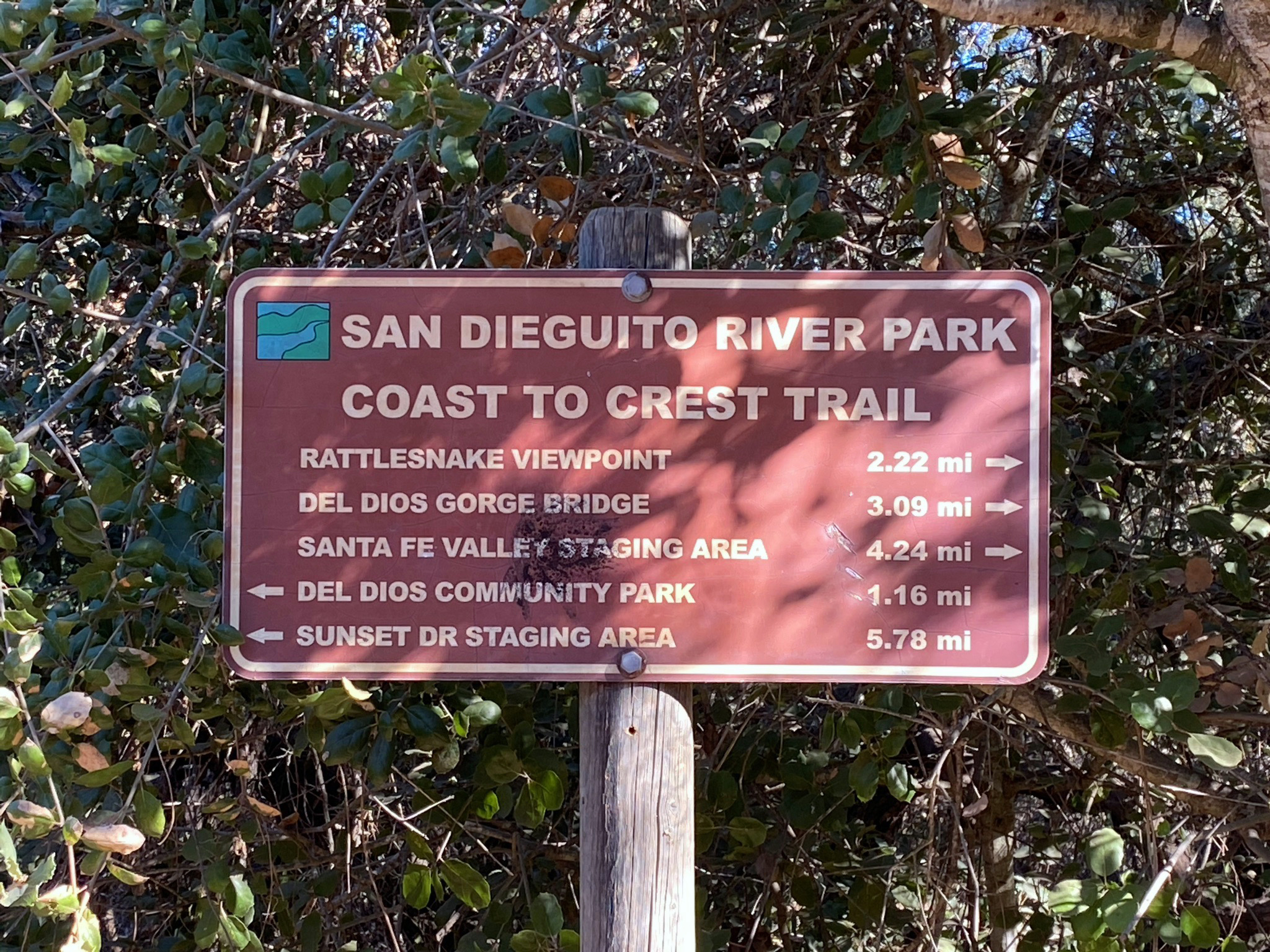
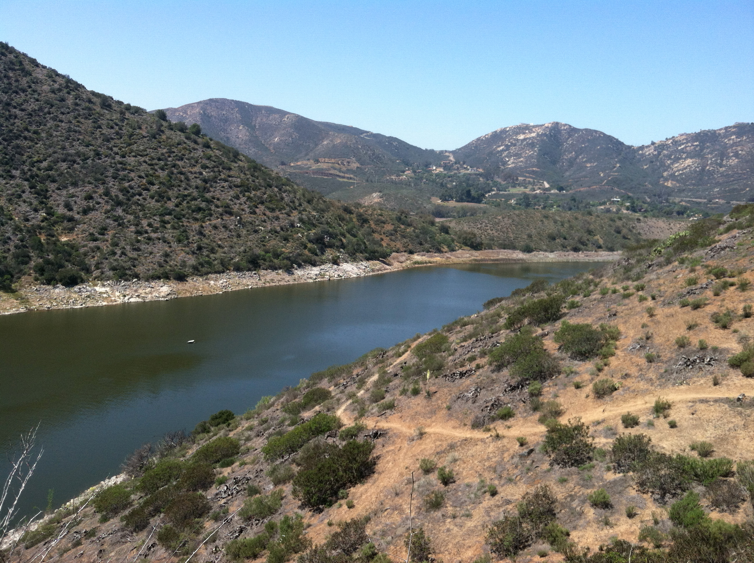
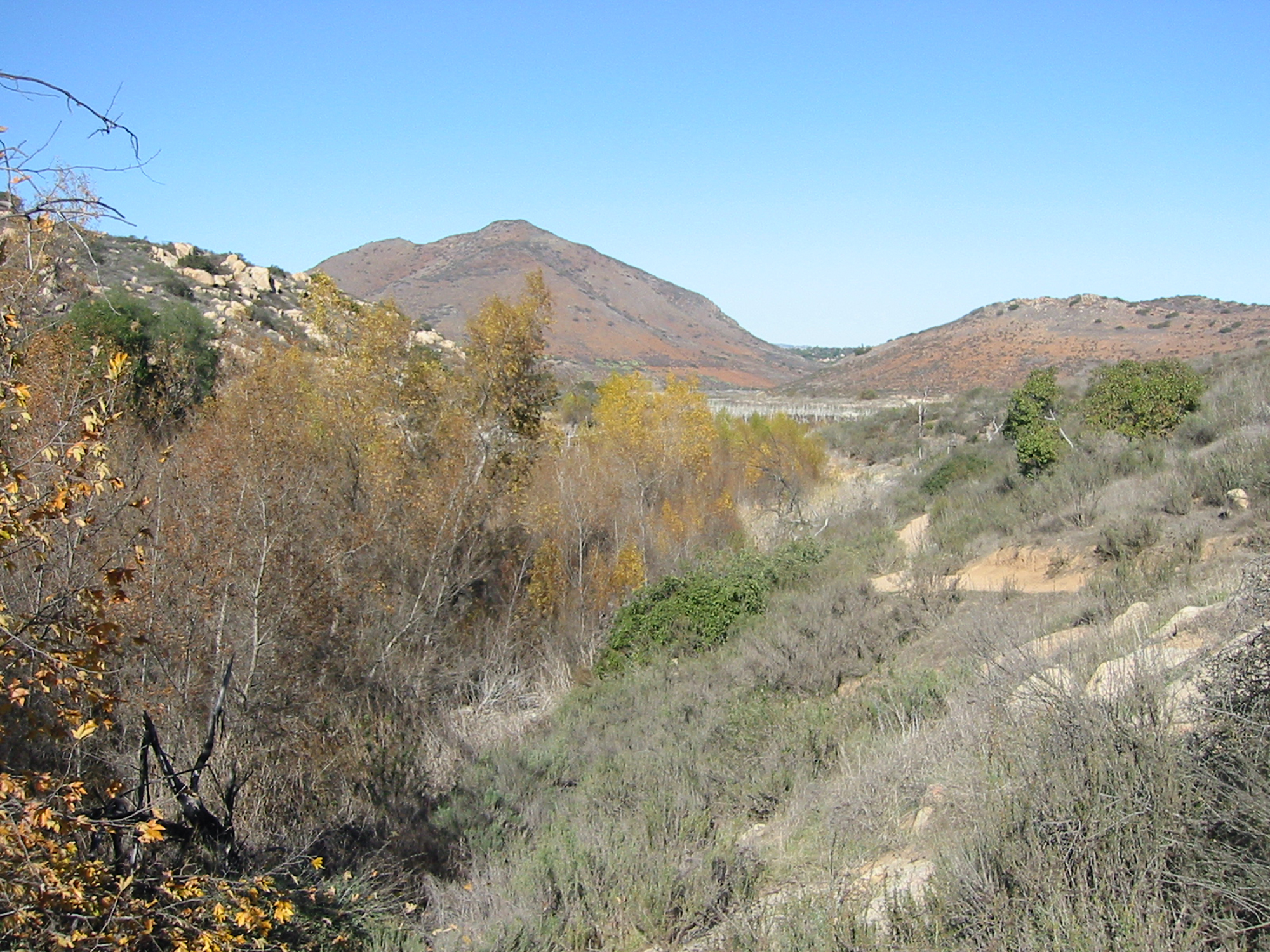
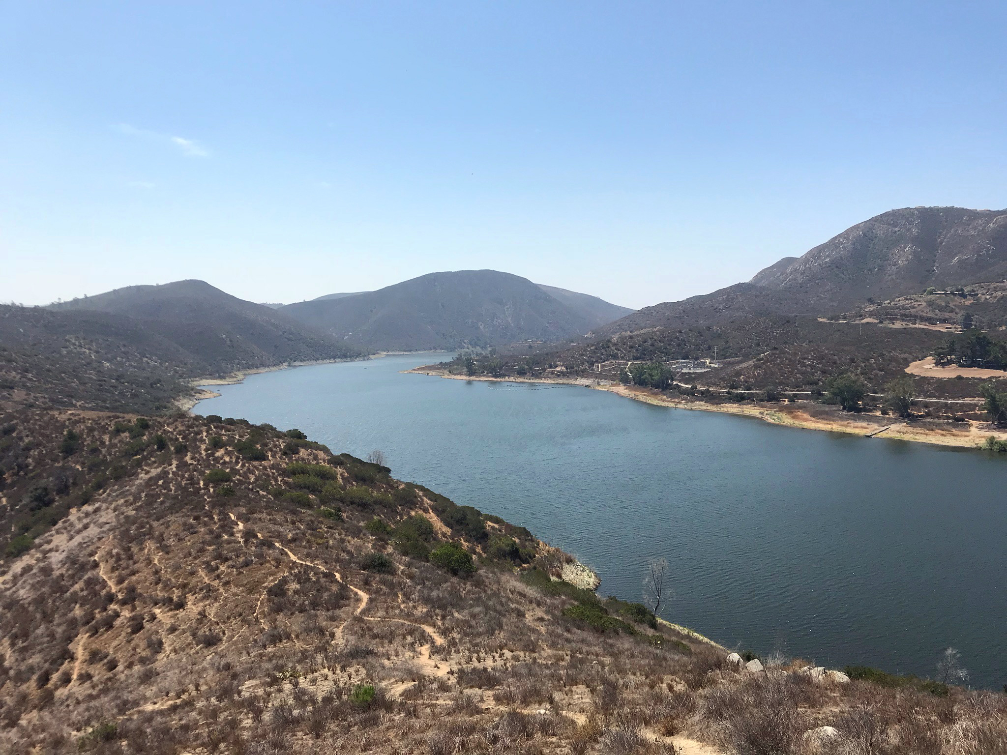
Coast To Crest Trail - Hodges Dam to Del Dios Community Park
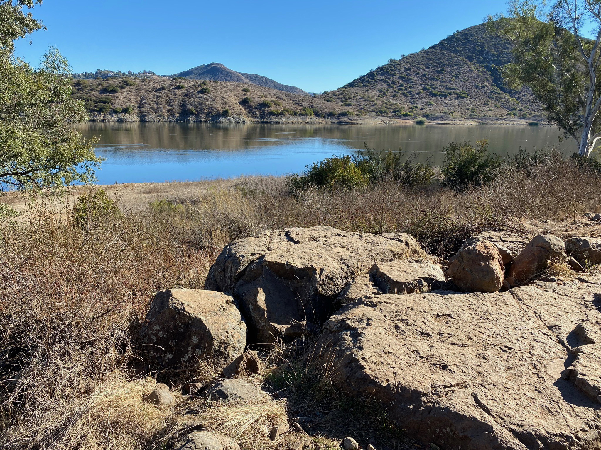
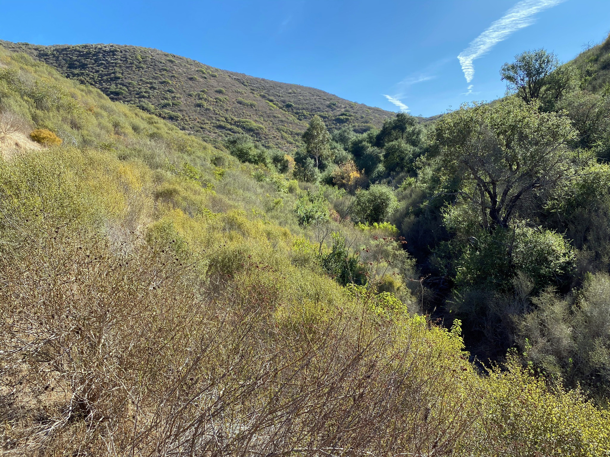
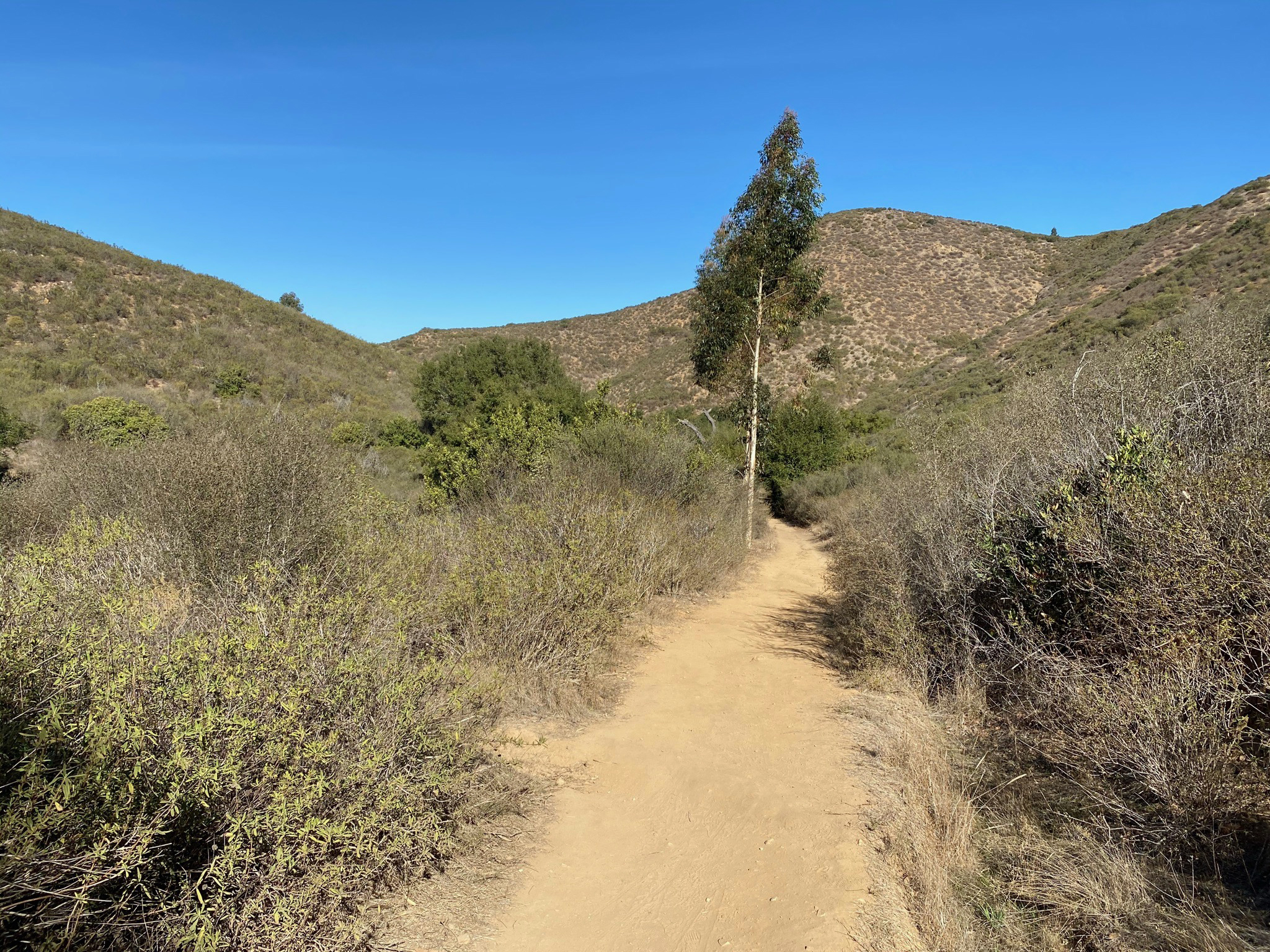
The Coast to Crest Trail runs along the north shore of Lake Hodges. The images below are selected views between the Rattlesnake Viewpoint below Lake Hodges Dam and Del Dios Community Park. The trail is mostly level, but some sections are rocky. Some sections are narrow, so mountain bikers need to especially cautious and courteous with hikers. The northern part of this trail section runs along Lake Drive in Del Dios. Parking along Lake Drive is limited. |
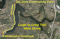 |

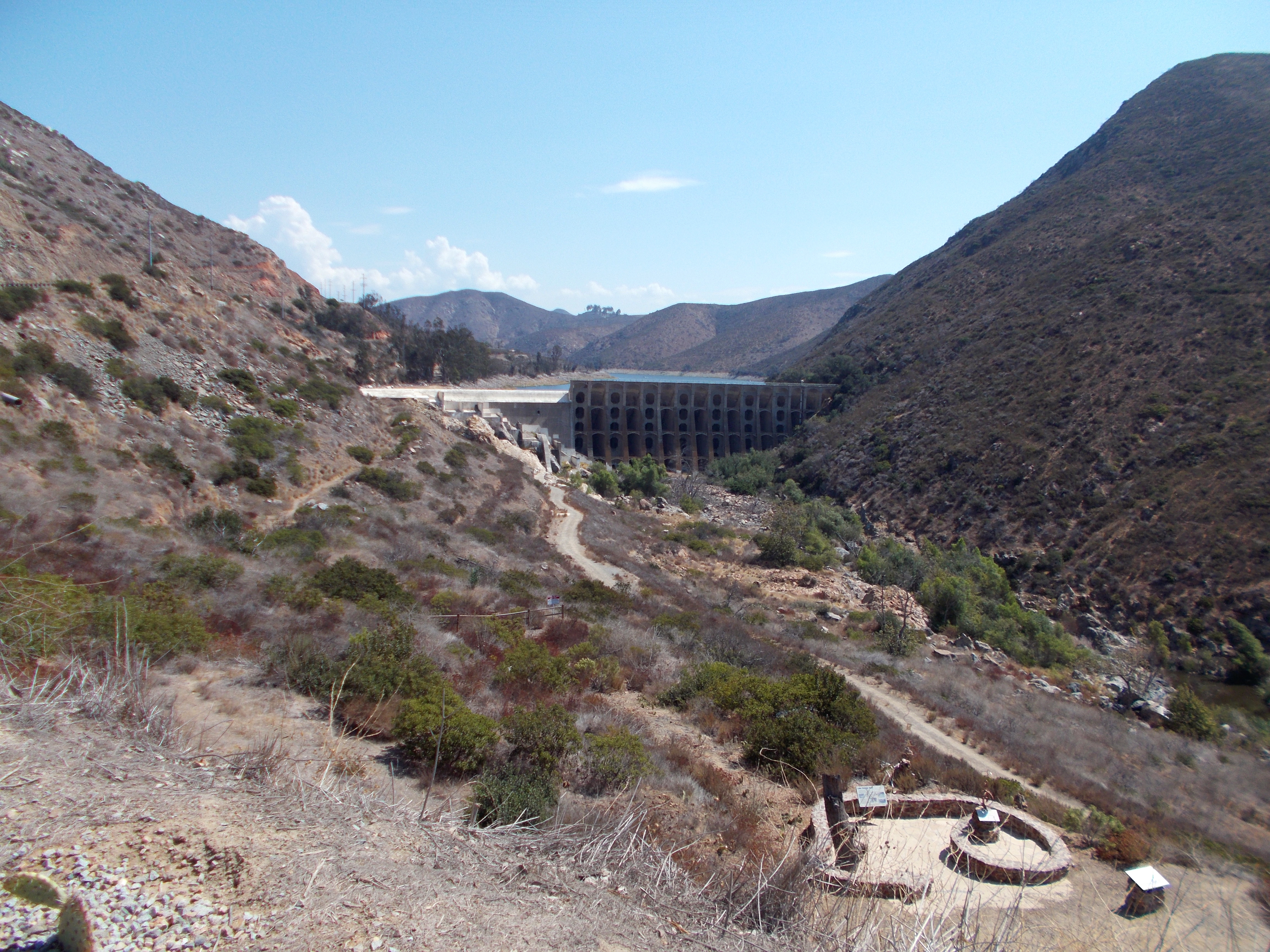
Fig. 2. Lake Hodges Dam from Rattlesnake Overlook. |
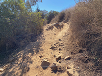
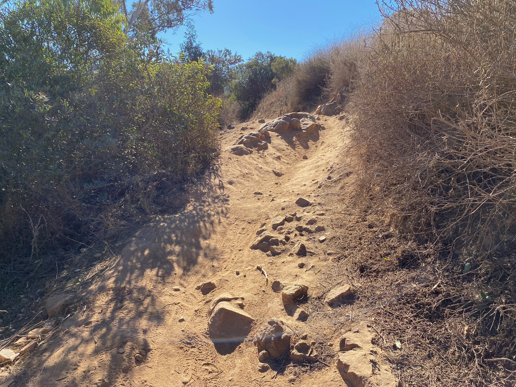
Fig. 3. Rocky section of the Coast To Crest Trail. |
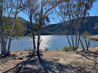
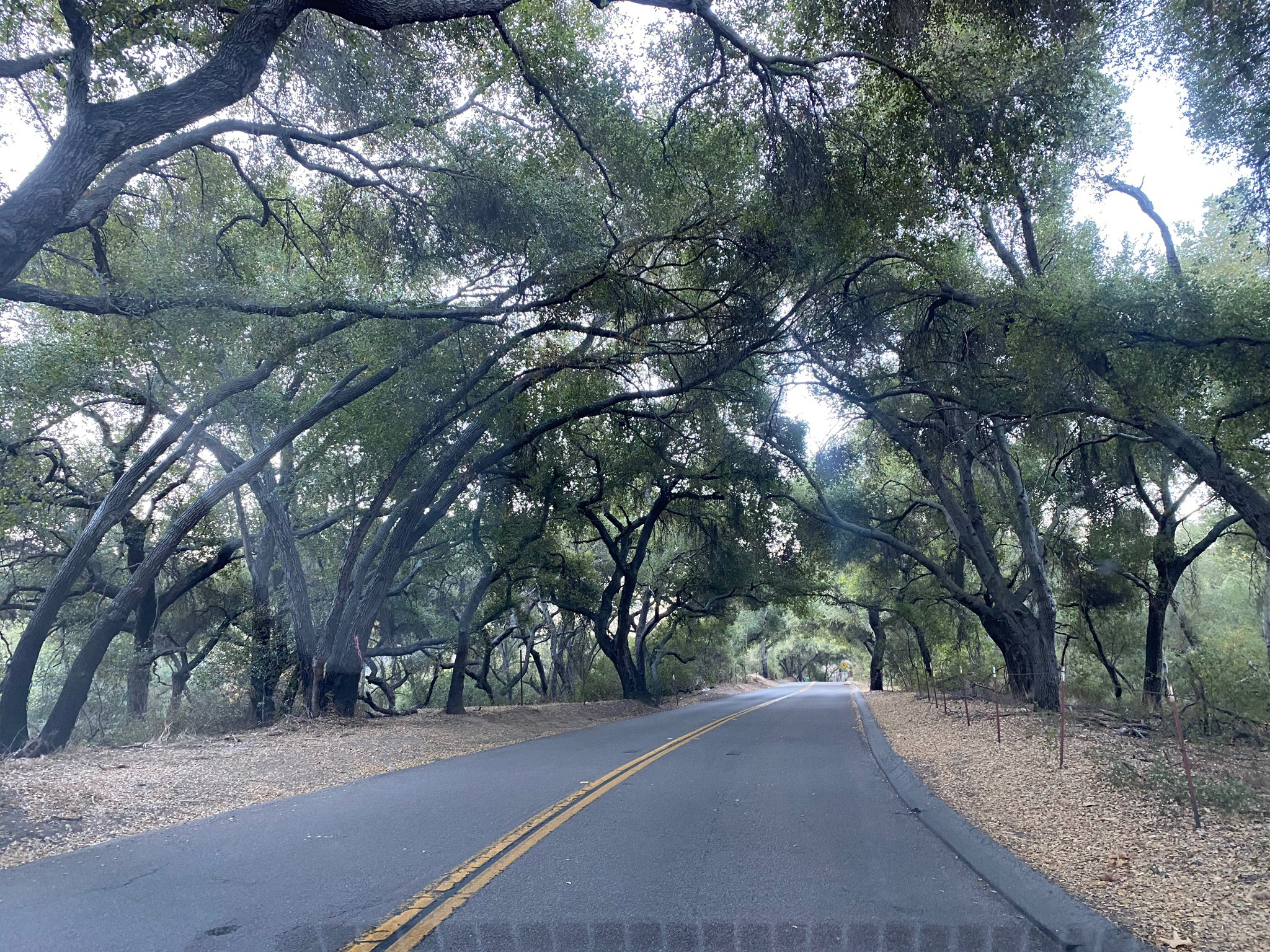
Fig. 4. Picnic bench along the CTC Trail - west shore. |
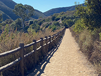
Fig. 5. CTC Trail near the Pumped Storage Facility. |

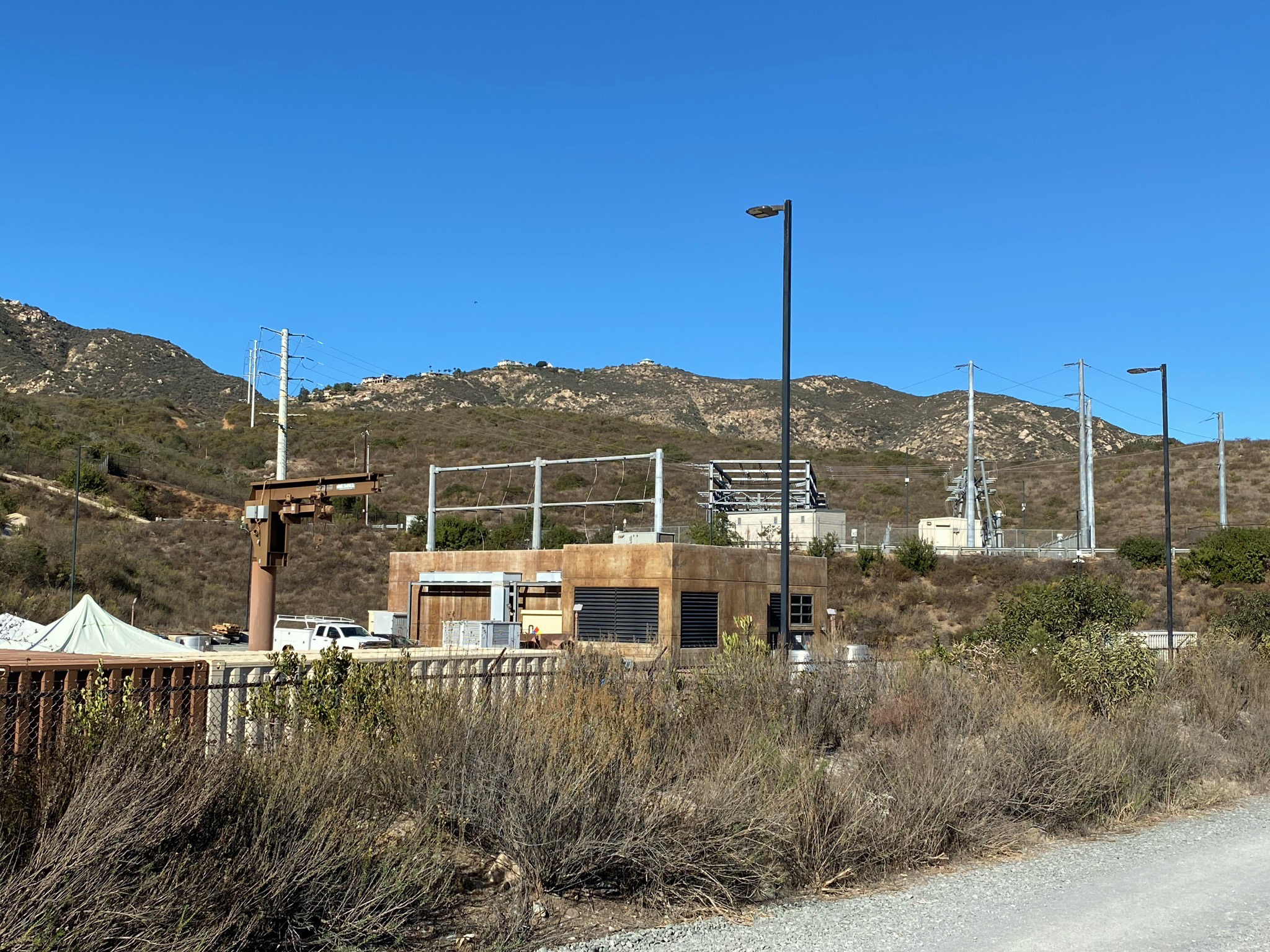
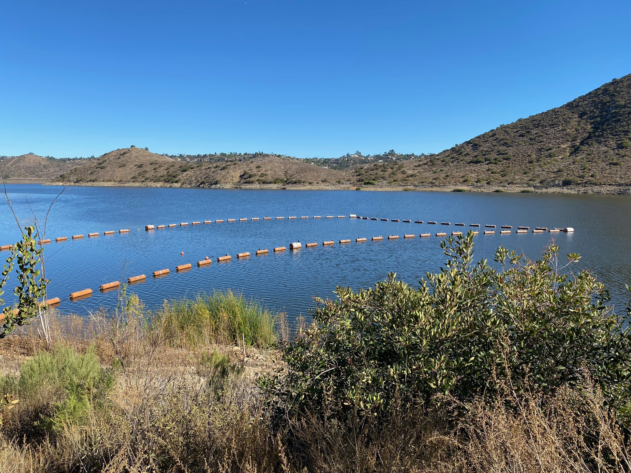
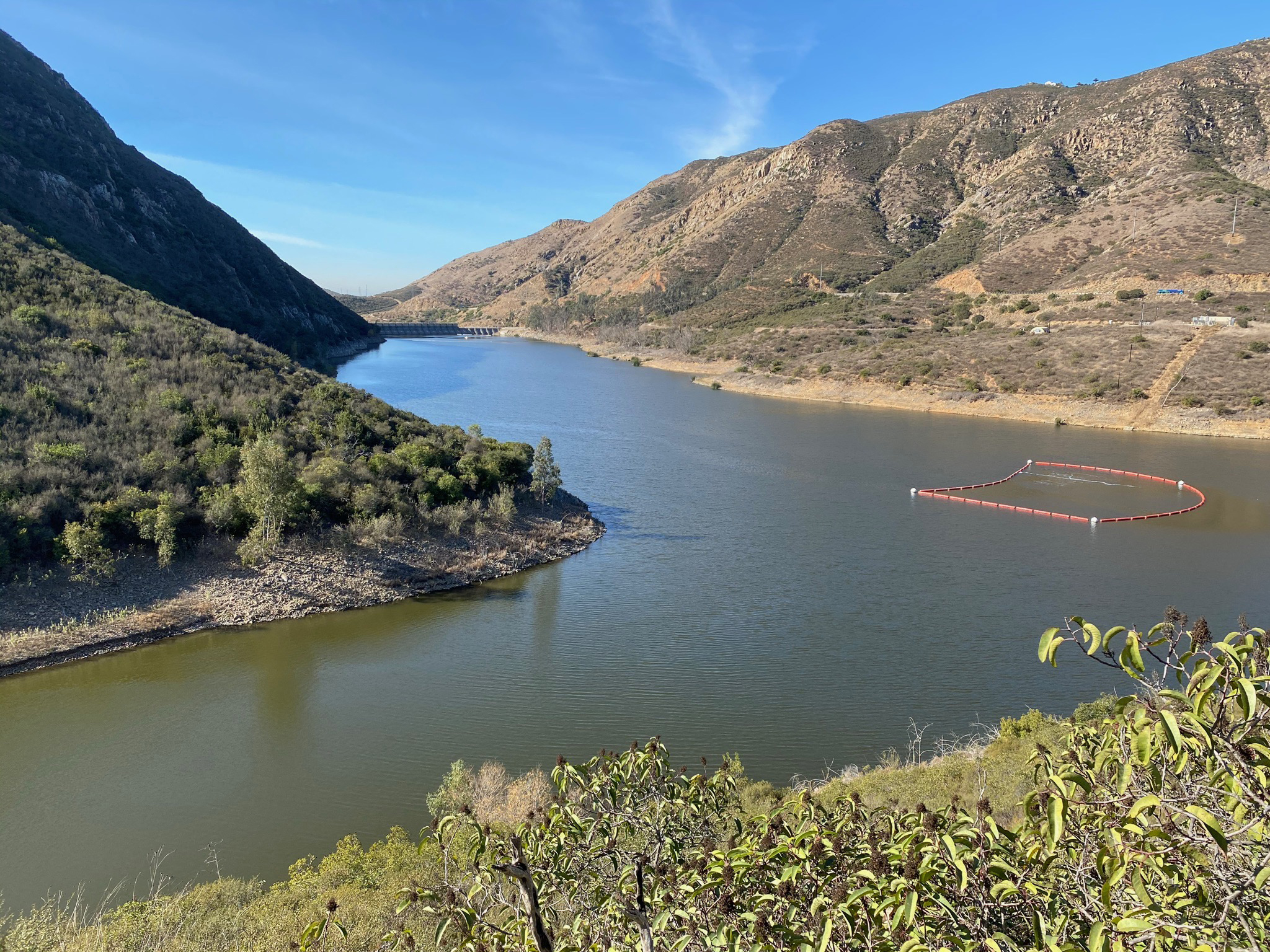
Fig. 6. Lake Hodges Pumped Storage Facility. |

Fig. 7. Float barrier near the Pumped Storage Facility inlet. |
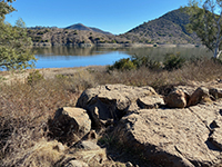
Fig. 8. View of the Pass from the CTC Trail near HH. |

Fig. 9. Coast to Crest Trail sign at Hernandez Hideaway. |
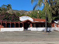
Fig. 10. Hernandez Hideaway, a Del Dios restaurant legend. |

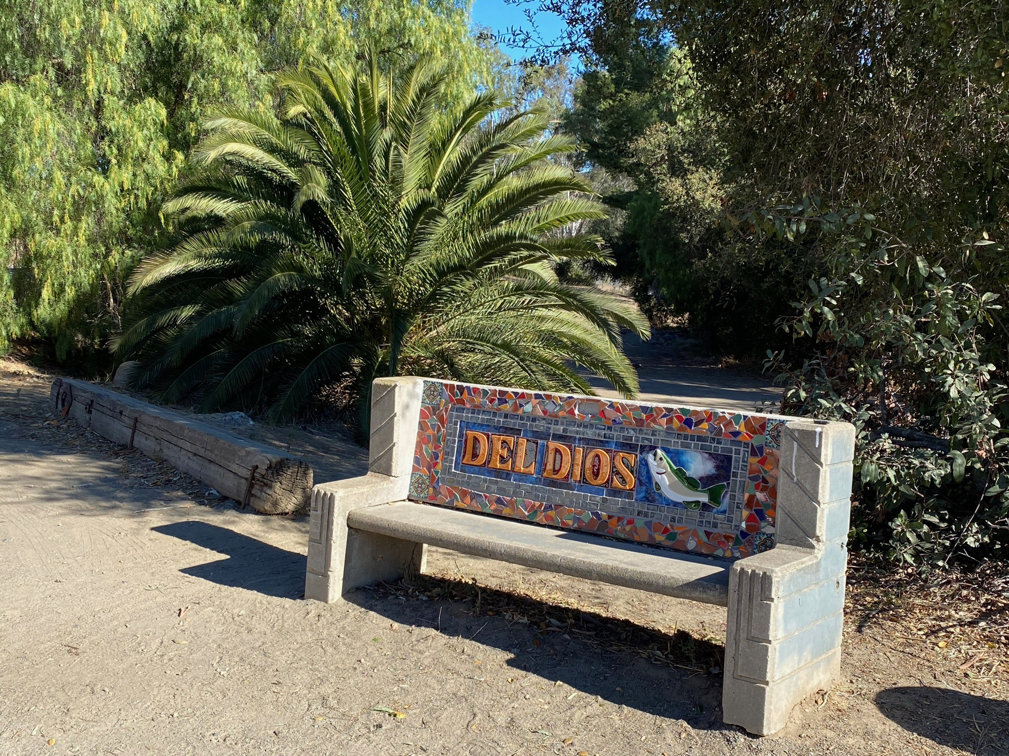
Fig. 11. Del Dios sign bench near Hernandez Hideaway. |

Fig. 12. CTC Trail near kiosk for shoreline access area. |
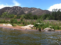
Fig. 13. Shoreline view of the Del Dios Highlands. |
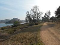
Fig. 14. Shoreline overlook in Del Dios along CTC Trail. |
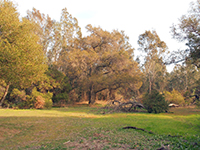
Fig. 15. Del Dios Community Park along CTC Trail. |
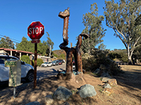
Fig. 16. Hodgee tree carving in Del Dios Community Park. |

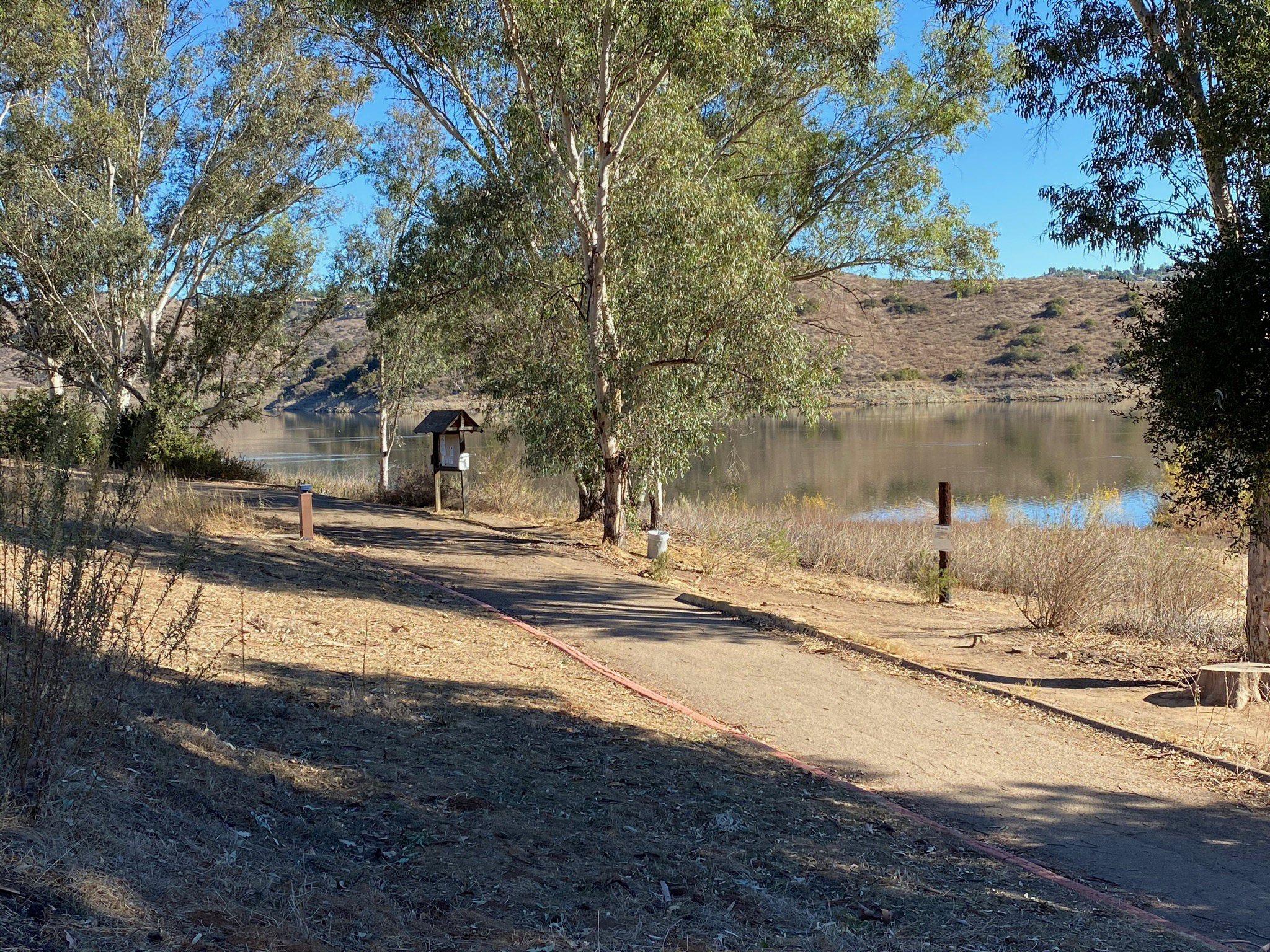
Fig. 17. CTC Trail kiosk at Del Dios Community Park. |
|

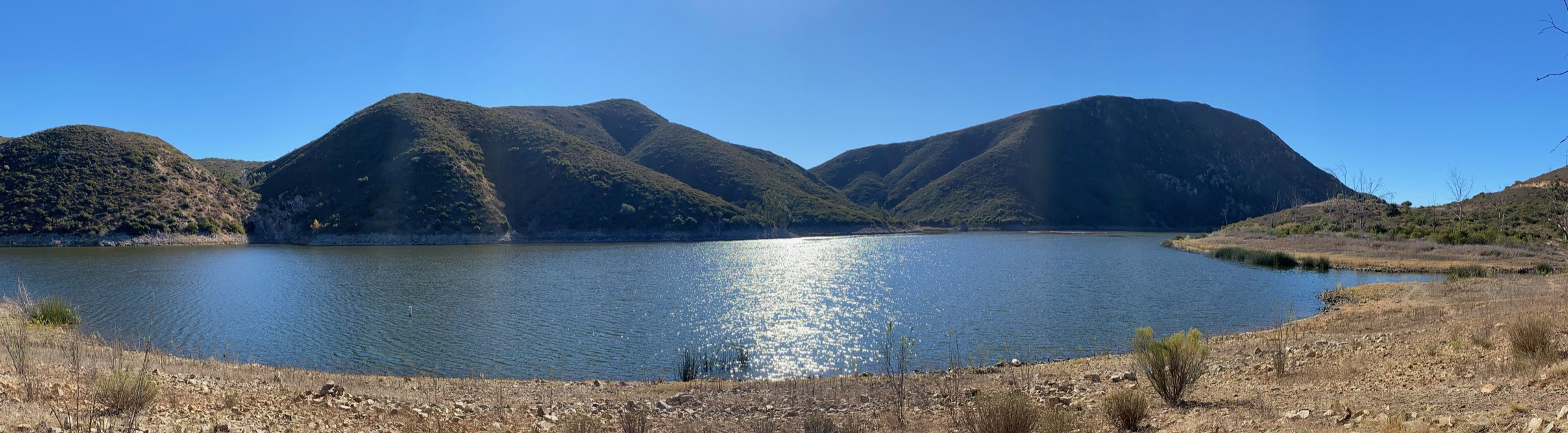
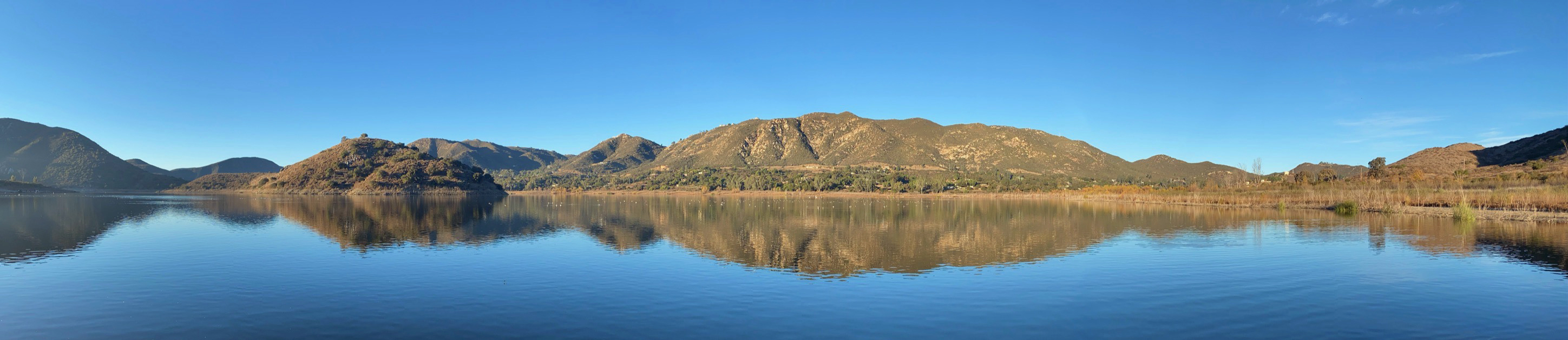
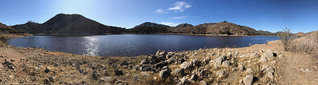
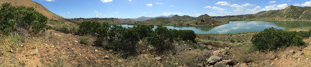
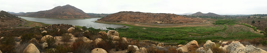
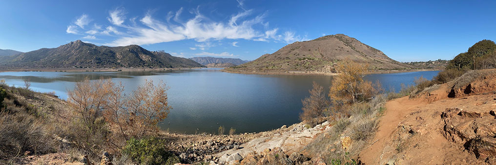
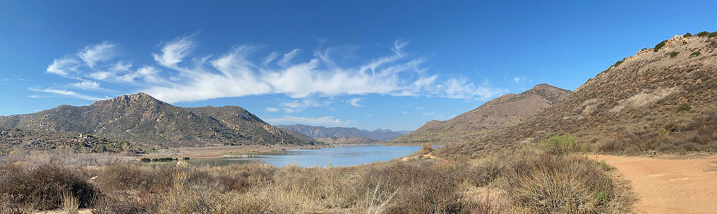
| Fig. 18. Panoramic view from the picnic table area on a small bay along the Coast To Crest Trail. This location provides a good view of the high cliffs and canyons on the south shore including Alva Canyon (right of center). |
B4
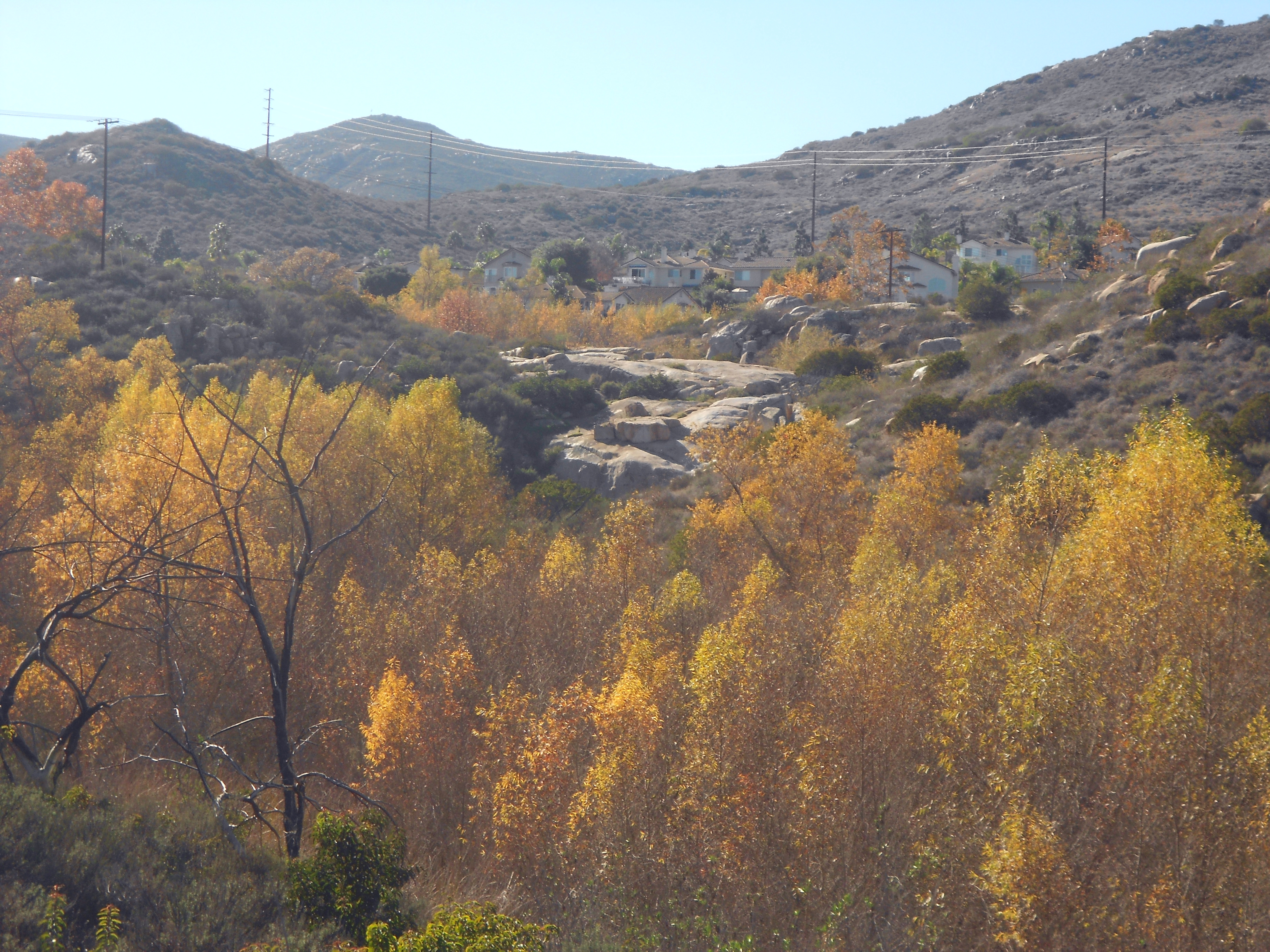
Coast To Crest Trail - Park Entrance to Visitor Center Park Area
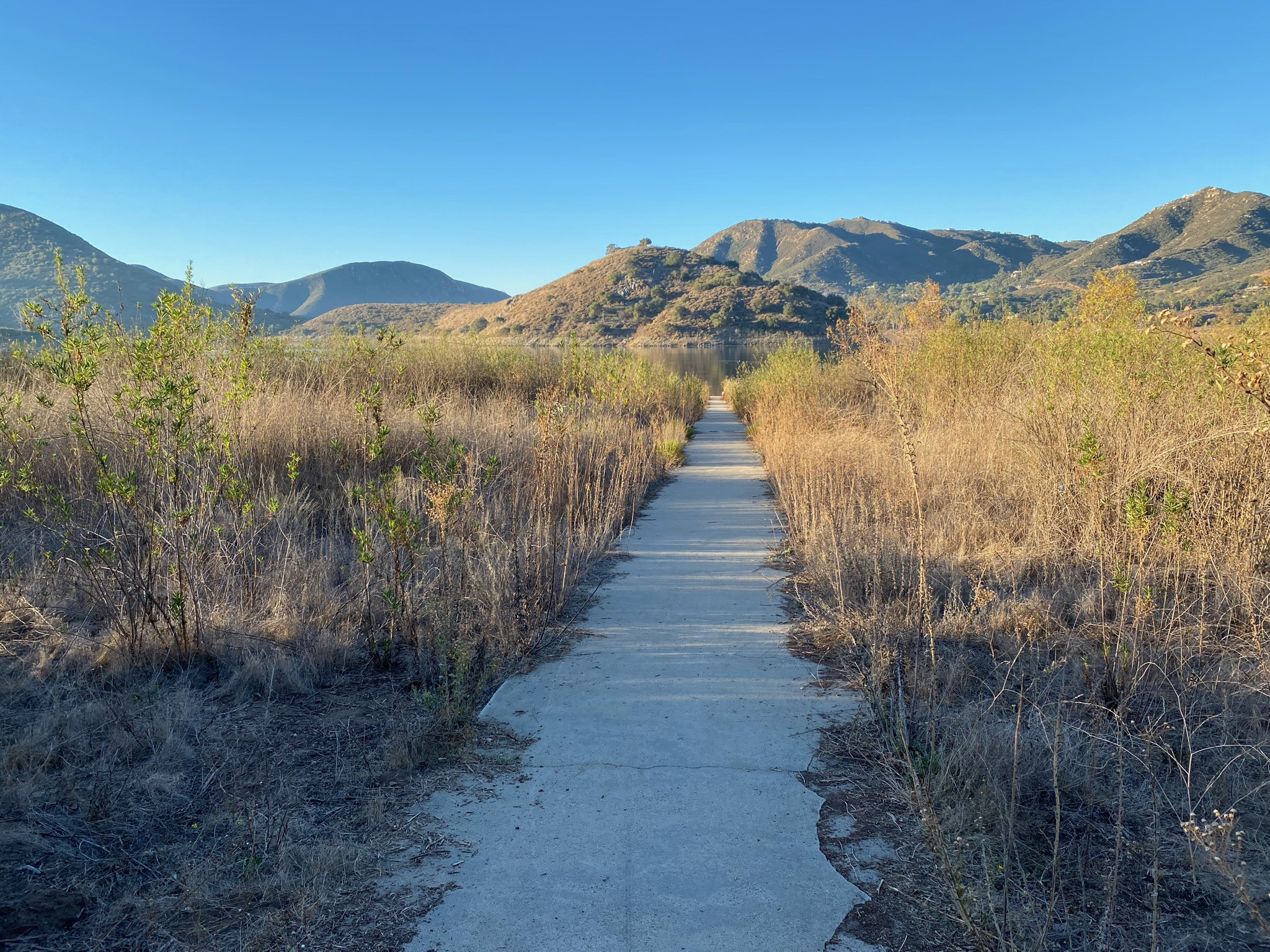
The Coast To Crest Trail continues east from Del Dios Community Park and runs parallel to the park road (Lake Hodges Way) to the Visitor Center (concession store with large parking lot). Along the way there are several side trails that spur off on either side of the road including a path along Del Dios Creek, a path to the Fishing Dock, and an unmaintained trail that leads through a granite boulder outcrop area (the Granite Boulders Highlands Trail discussed below).
|
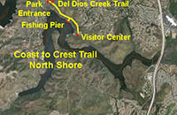 |

Fig. 19. Sign at the entrance to Lake Hodges. |
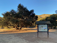
Fig. 20. Park rules kiosk in Del Dios Community Park. |
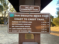
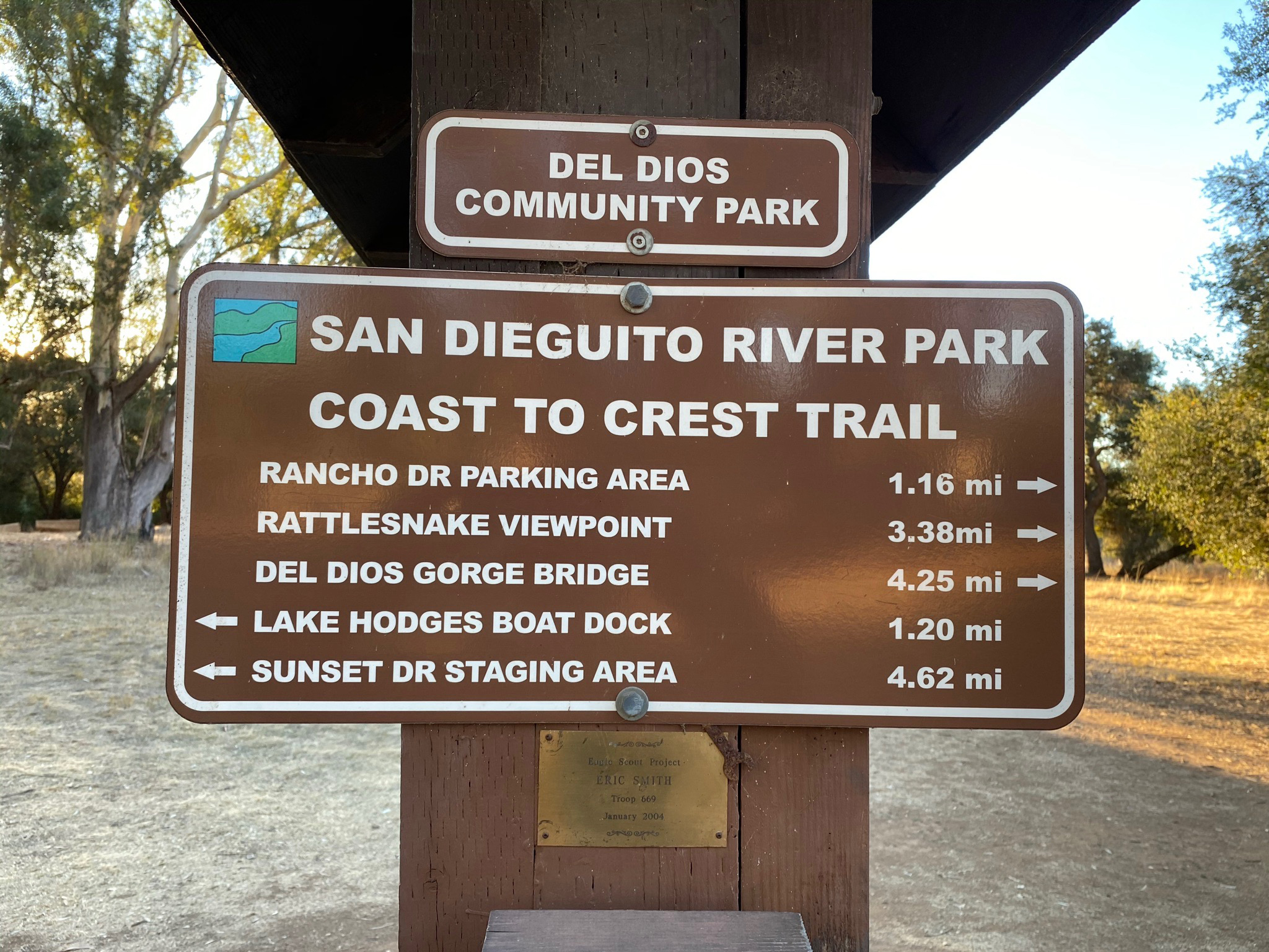
Fig. 21. CTCT mileage sign in Del Dios Community Park. |
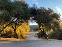
Fig. 22. Lake Hodges Way dips across Del Dios Creek. |
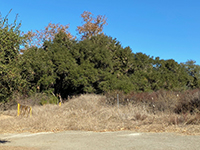
Fig. 23. Del Dios Creek path near park entrance. |
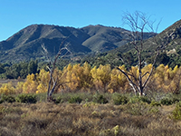
Fig. 24. Del Dios Creek riparian habitat near shore. |
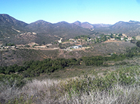
Fig. 25. Oak forest along Del Dios Creek and path. |
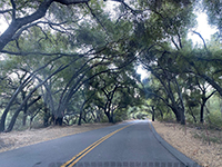
Fig. 26. A tree tunnel along Lake Drive near Del Dios. |
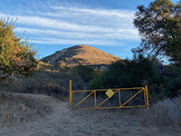
Fig. 27. Trailhead for Granite Boulder Highlands Trail. |

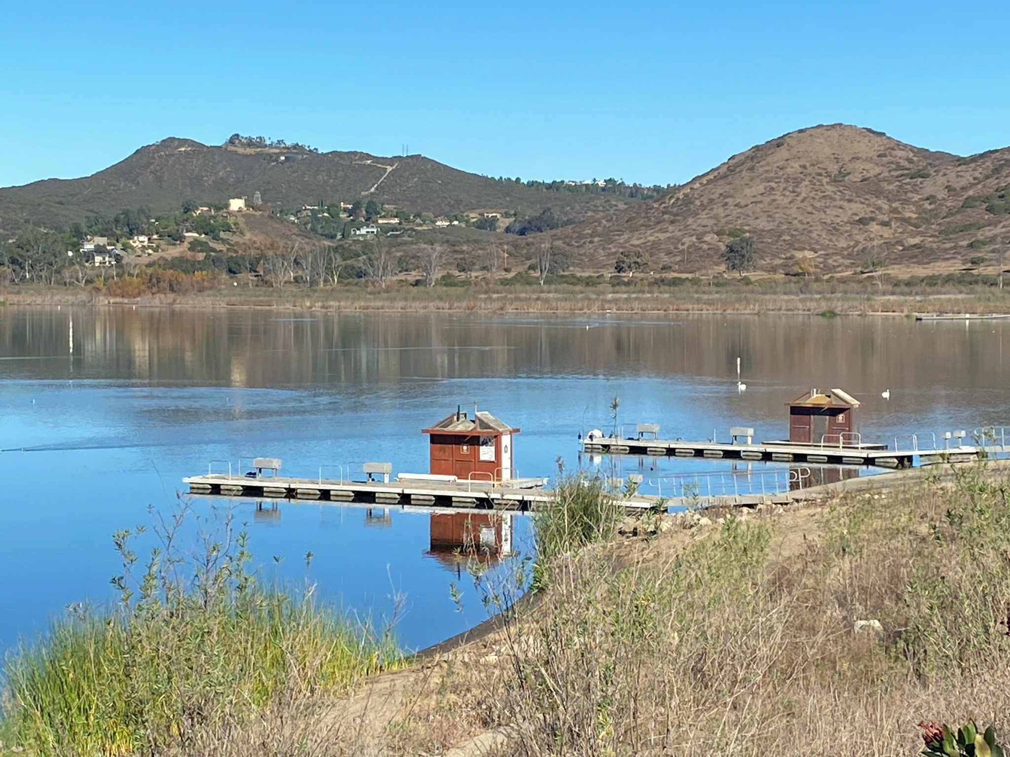
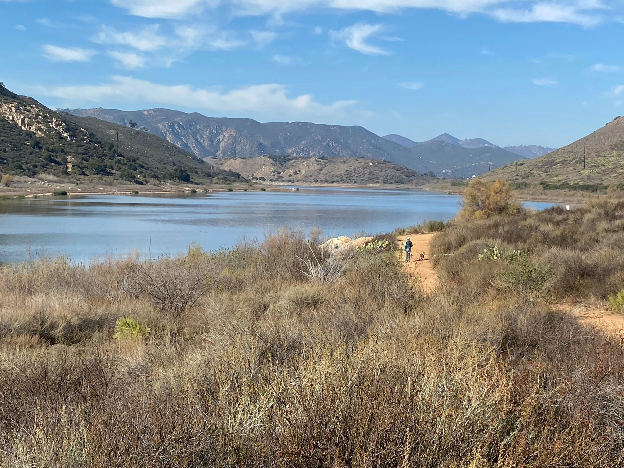
Fig. 28. Trail leading down to Fishing Dock on Lake Hodges. |
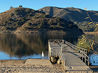
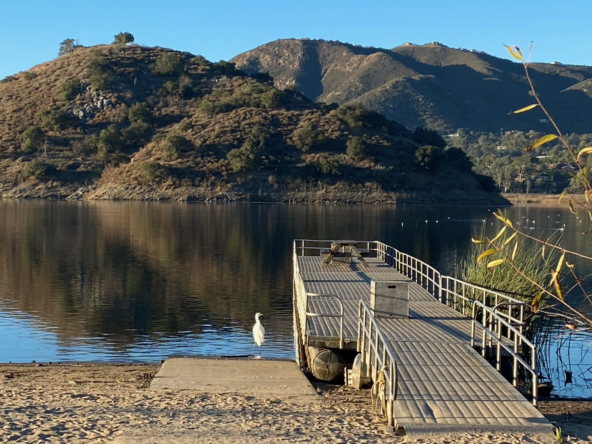
Fig. 29. An egret next to the Fishing Dock on Lake Hodges. |
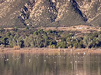
Fig. 30. Grebes in the North Bay seen from Fishing Dock. |
|

| Fig. 31. Panoramic view of the North Bay of Lake Hodges as seen from the end of the Fishing Dock. Fletcher Point peninsula is to the left. Del Dios Highlands are to the enter. North Bay shore is to the right. |
B5
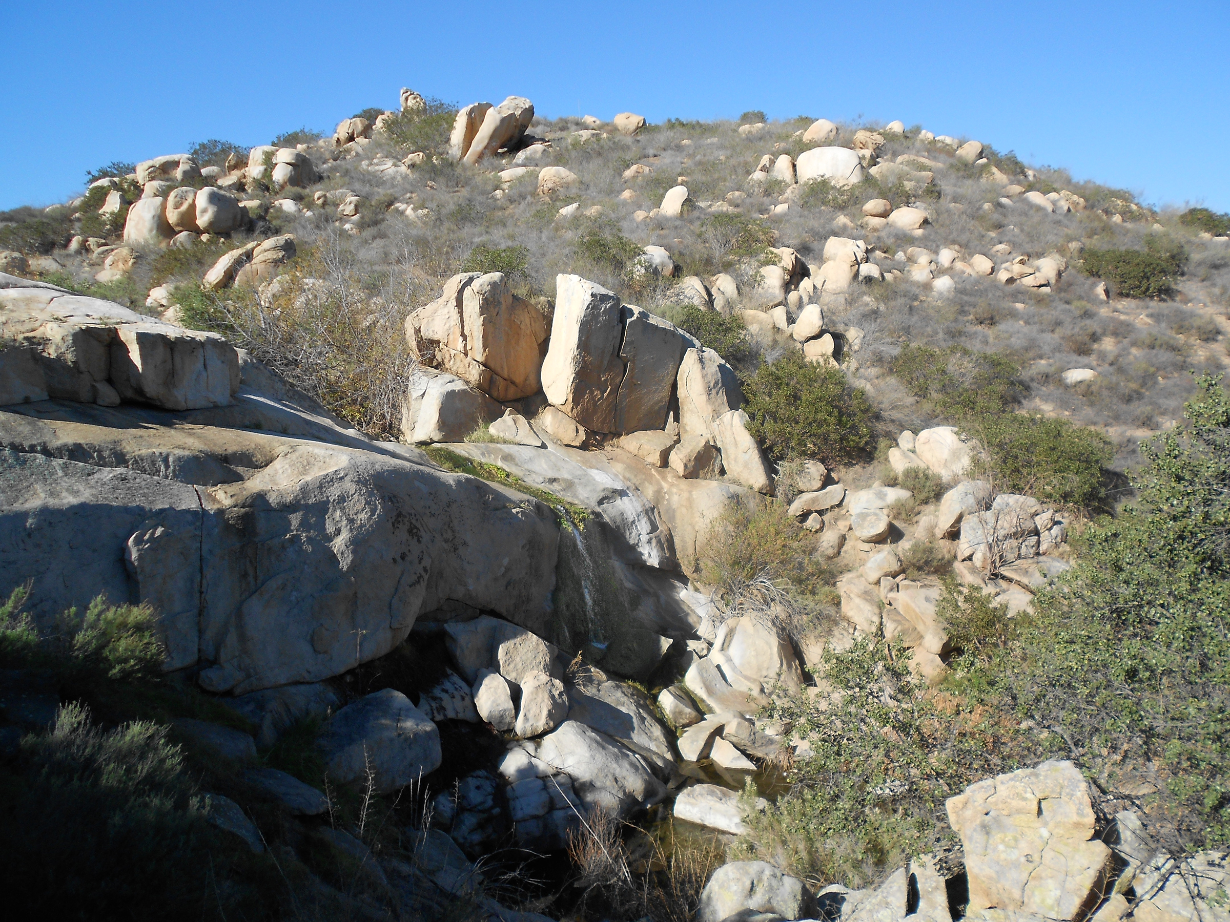
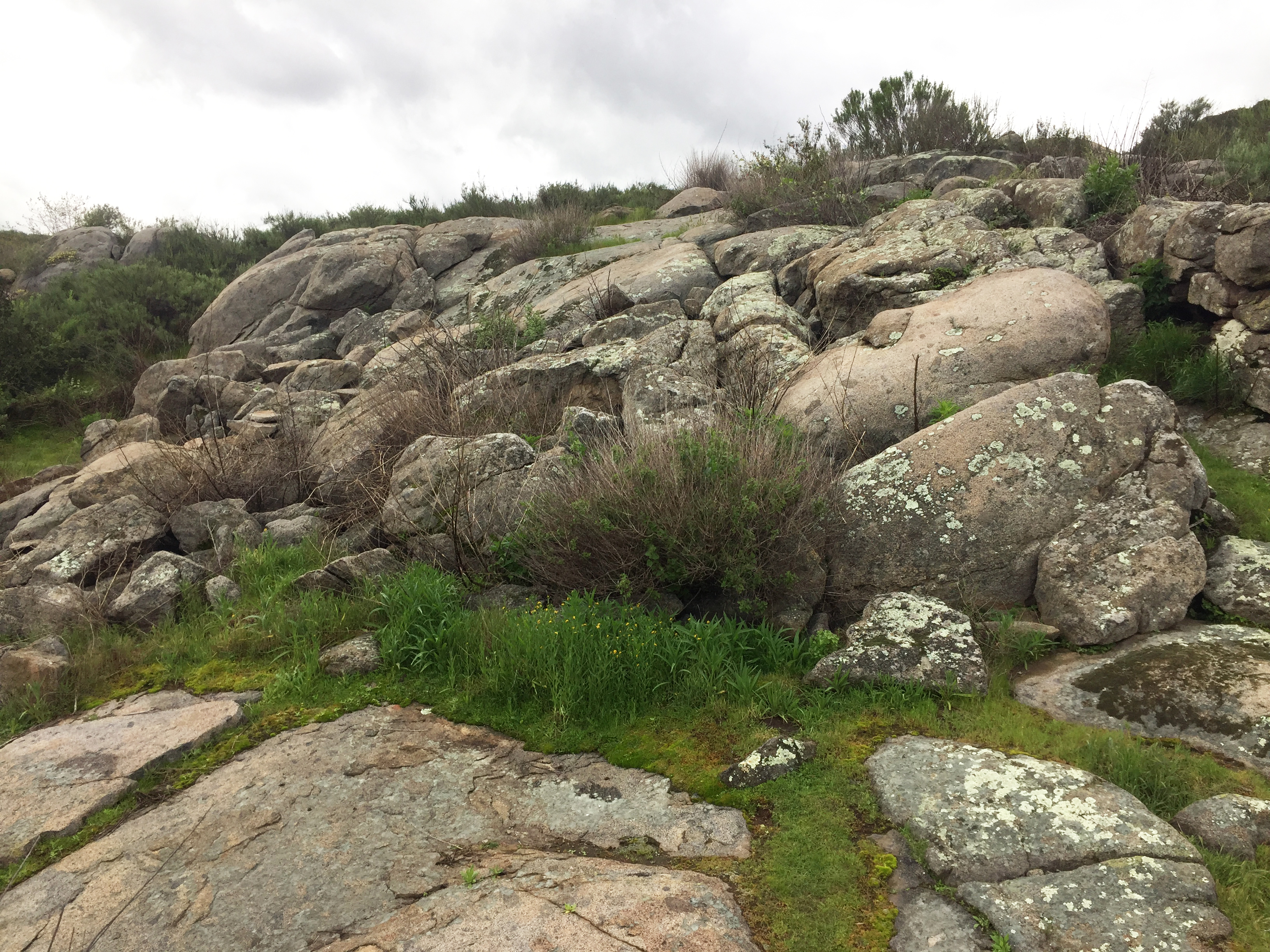
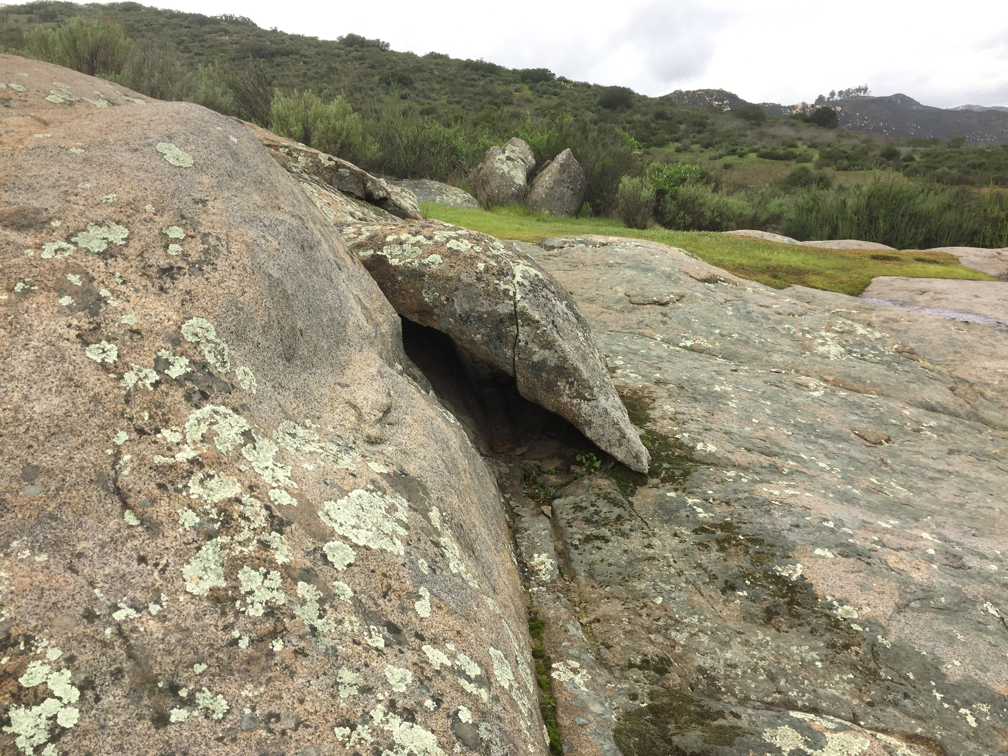
Granite Boulders Highlands Trail
This unofficial name is presented here for an unnamed, unmaintained trail that that leads to the top of a part of Felicita Mesa where an extensive belt of granitic outcrops and boulders dominate the landscape. It is easy to get lost in this area, and the trail is narrow, steep, and rocky, and is prime rattlesnake and tick habitat. That said, this is a remote and unusually scenic area if you like unusually shaped granite outcrops.
|
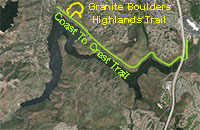 |

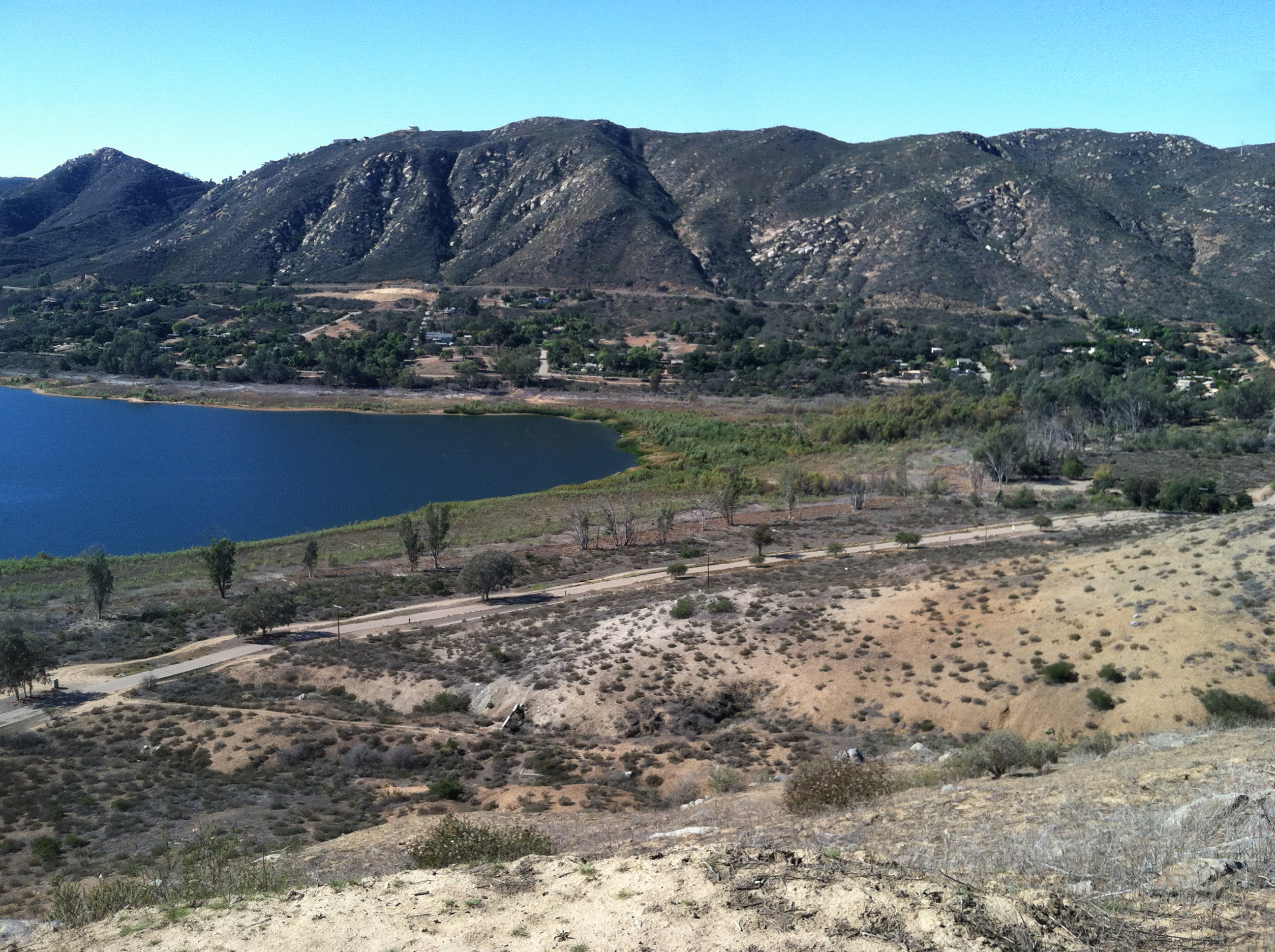
Fig. 32. View of North bay from near the park entrance. |
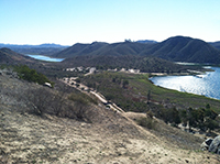
Fig. 33. View east toward the park's Visitor Center area. |
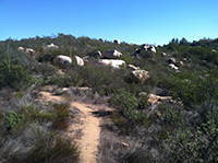
Fig. 34. The Granite Boulders Highlands Trail |
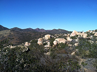
Fig. 35.The Granite Boulders Highlands Trail |
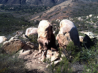
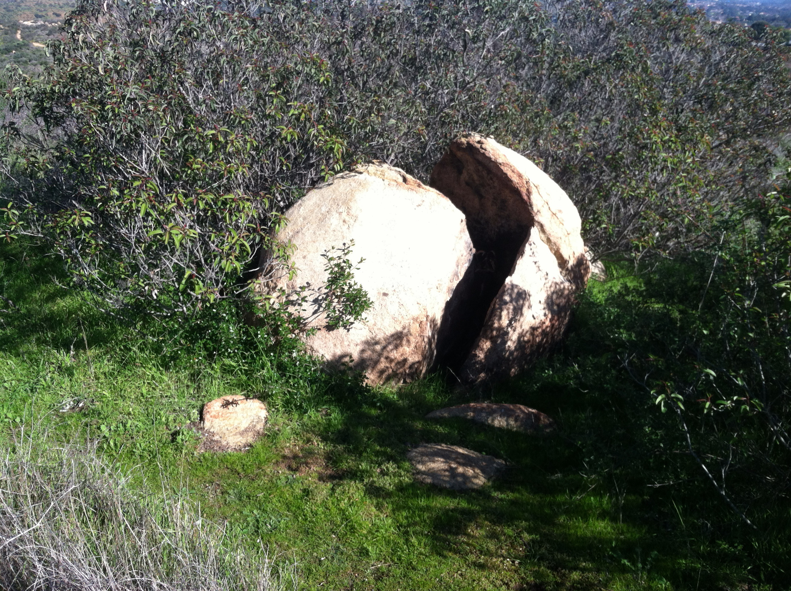
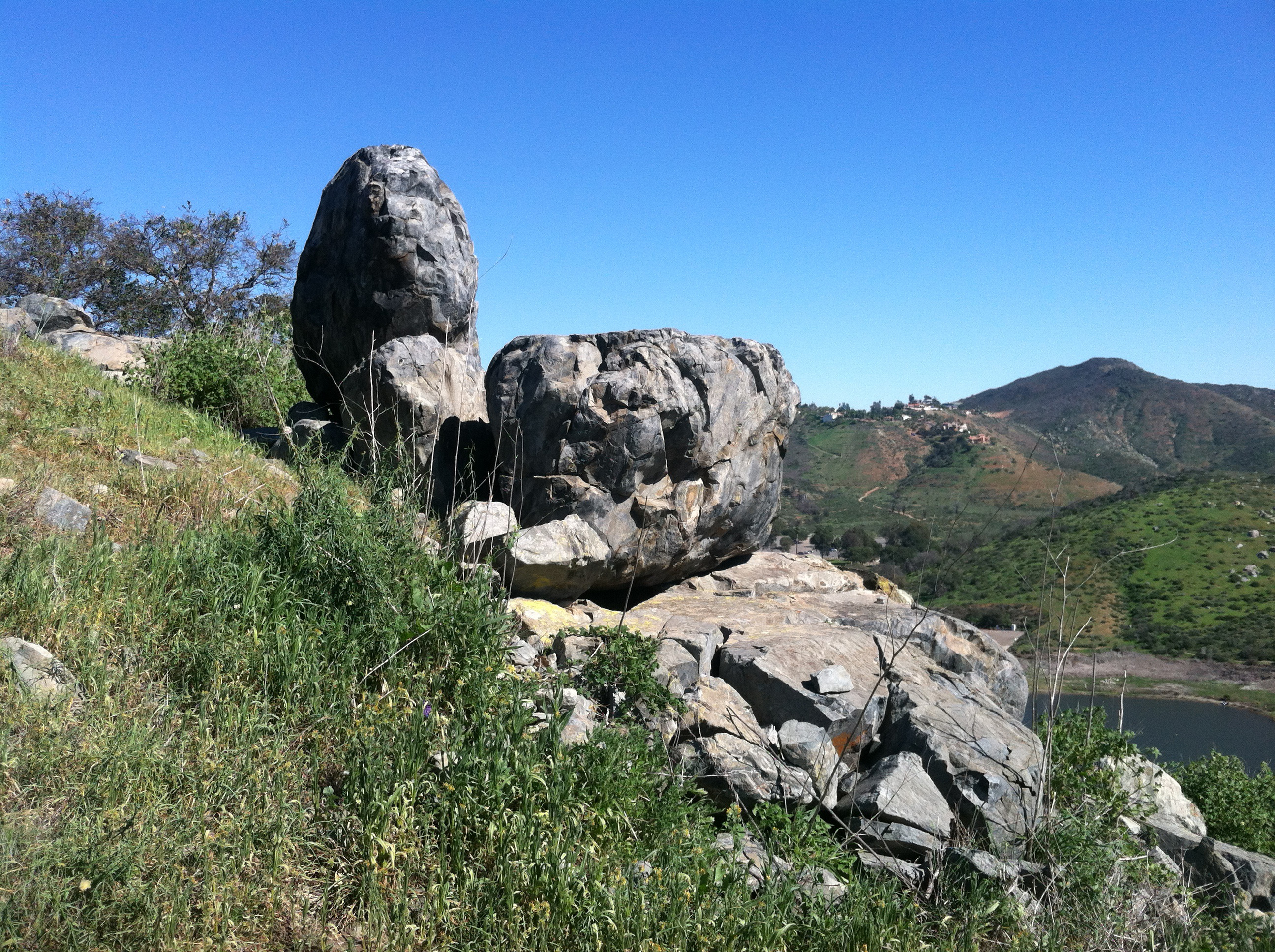
Fig. 36. Split Rock |

Fig. 37. Hot-Dog Rock |
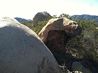
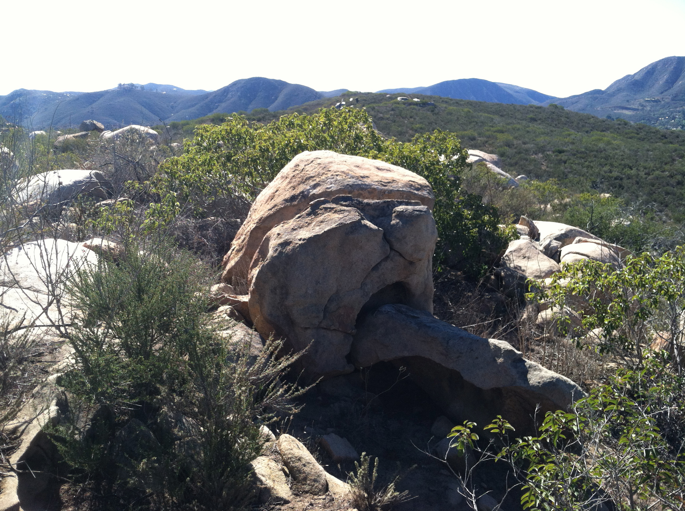
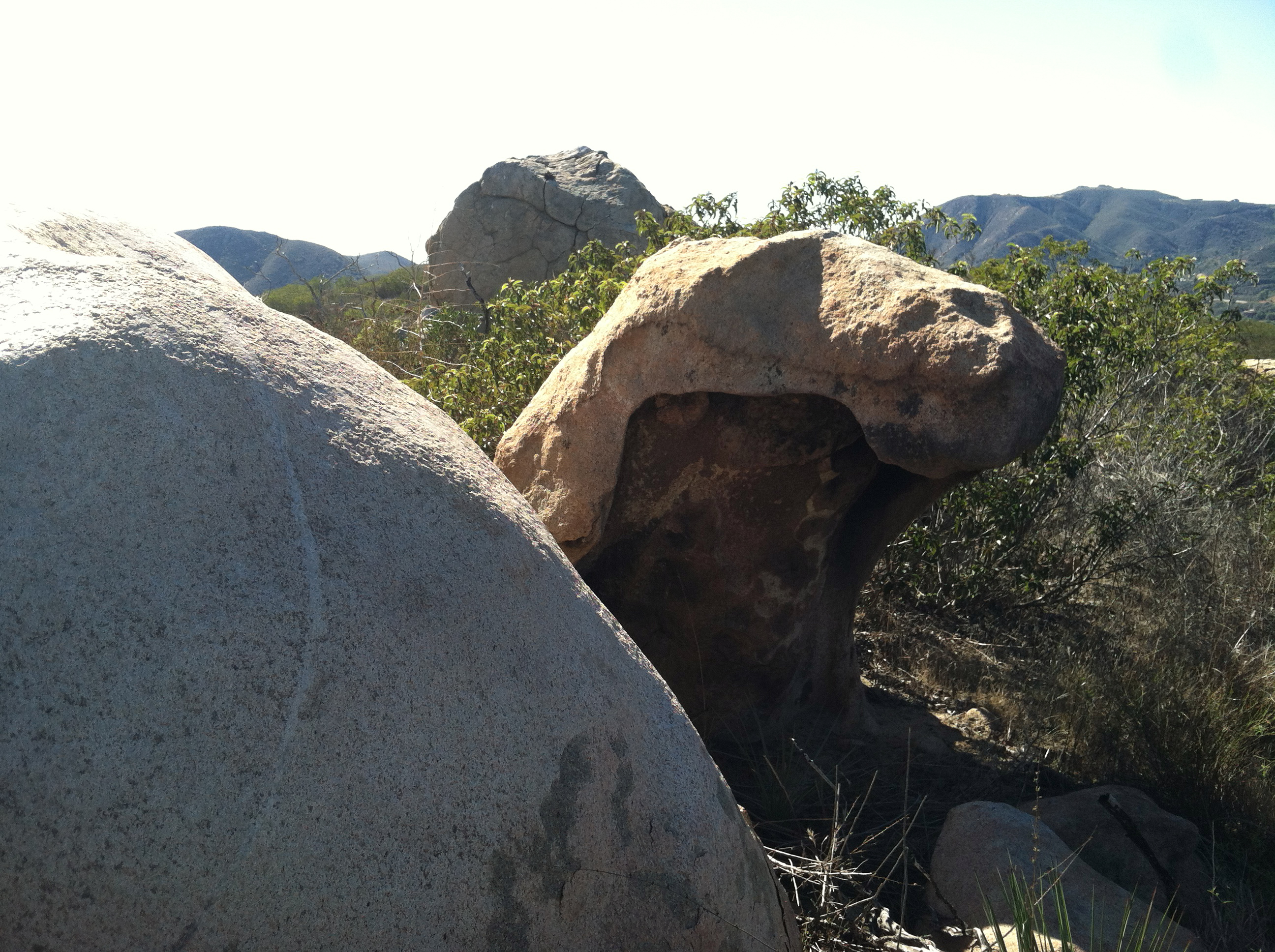
Fig. 38. Gaping Maw Rock |
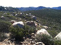
Fig. 39. Boulder field. |
|
B6
Lake Hodges Park Facilities - Visitor Center and Boat Launch Areas
The Lake Hodges Park area encompasses the parking areas around the Visitor Center, restrooms, picnic areas, boat launch, and kayak beach launch area. These areas can be quite crowded on warm weekends. The Coast To Crest Trail connects to the large parking area. The Mid Valley Mesa Trail starts at the Boat Launch loops back to the Visitor Center parking area. |
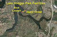 |
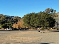
Fig. 40. Visitor Center parking lot with trees.. |

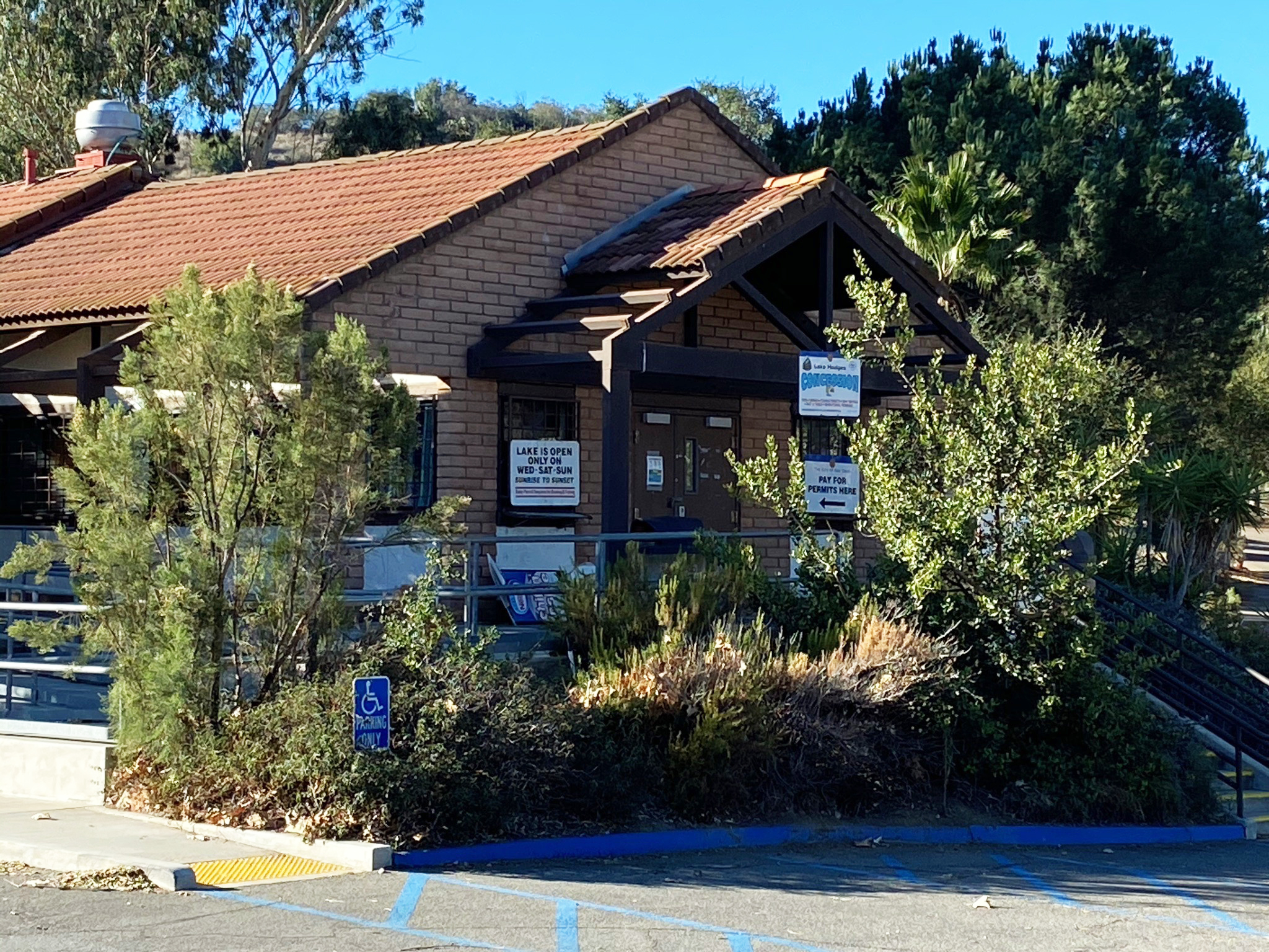
Fig. 41. Lake Hodges Visitor Center and store. |
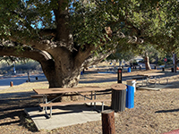
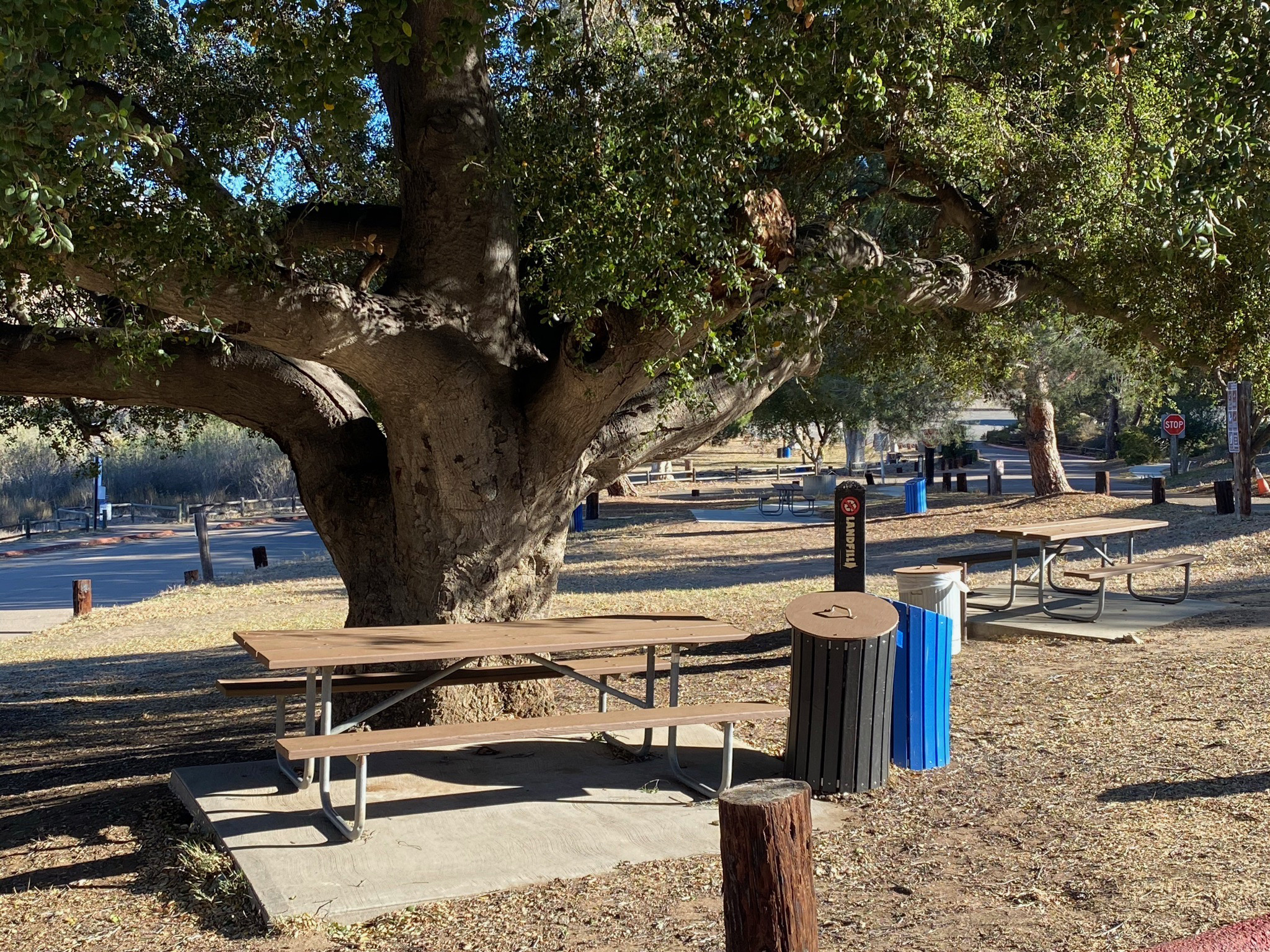
Fig. 42. Picnic area with oak tree near Visitor Center. |
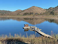
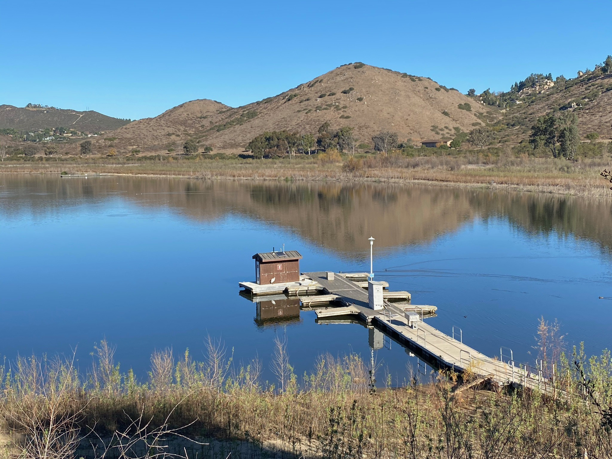
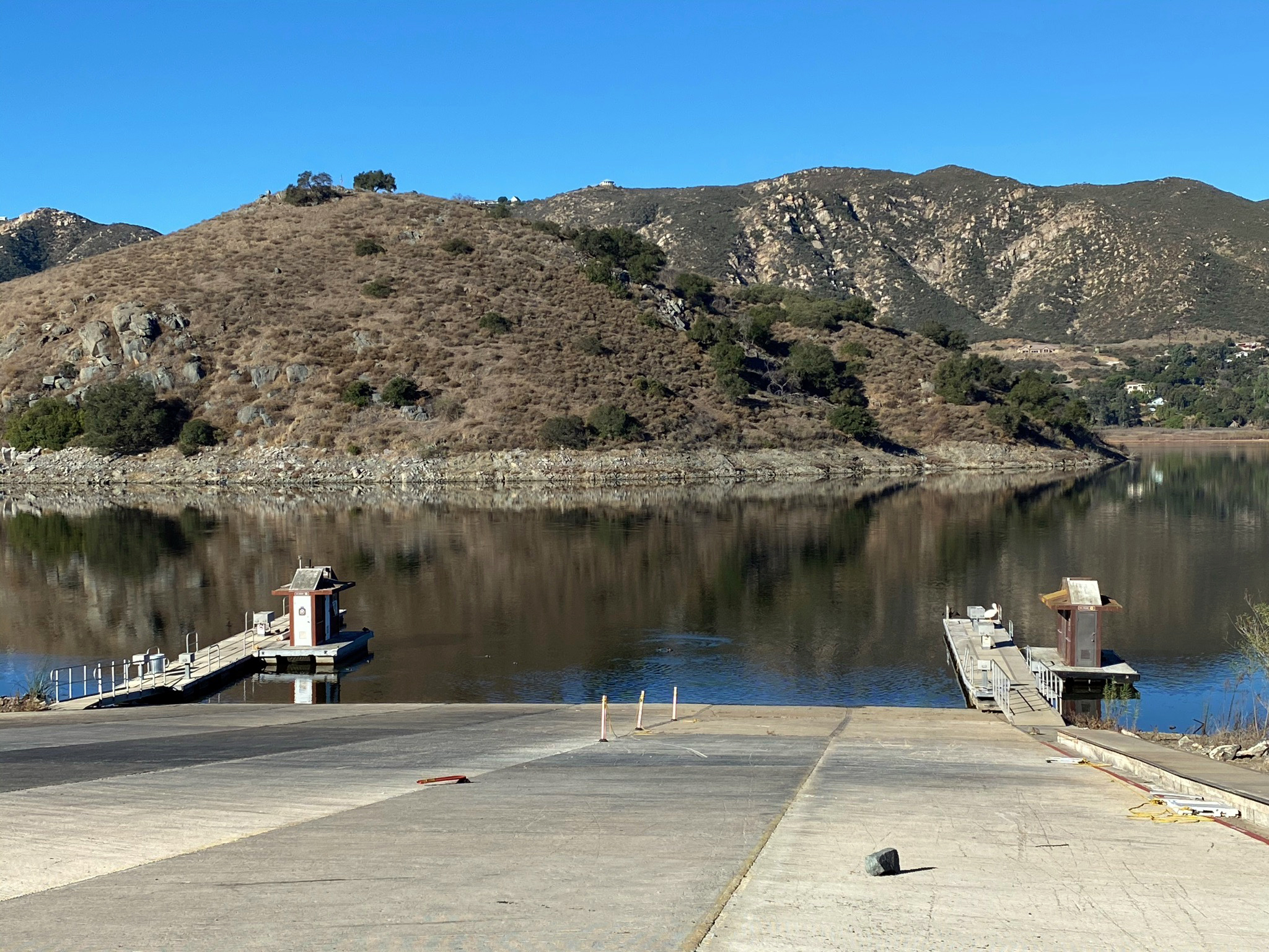
Fig. 43. Boat dock near the kayak put-in beach. |
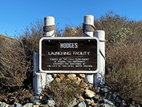
Fig. 44. Sign for the Hodges Launch Facility. |

Fig. 45. Two docks at the Hodges Launch facility. |
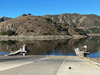
Fig. 46. Lake Hodges Boat Launch Facility. |

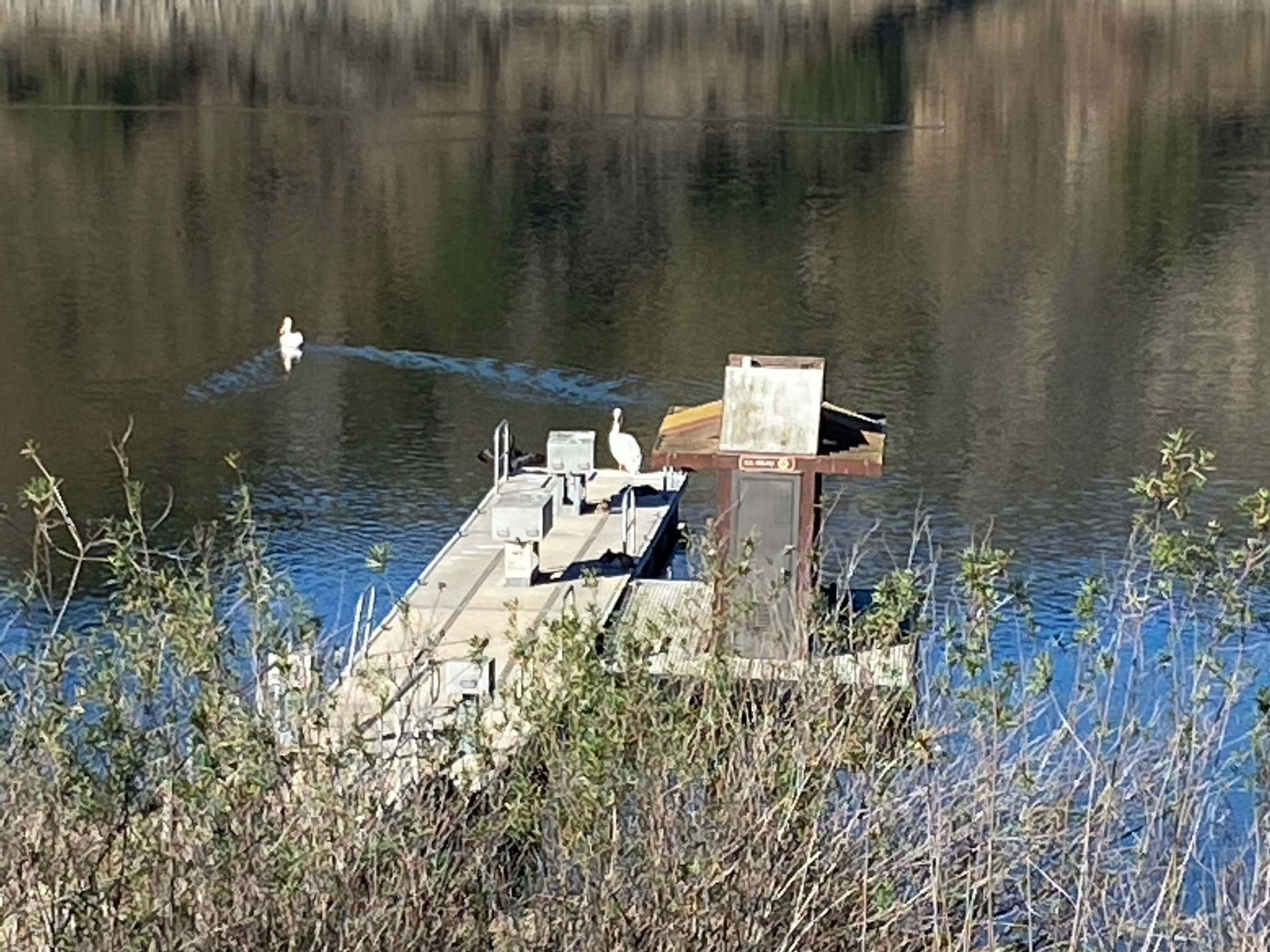
Fig. 47. Boat Launch dock with white pelicans. |
|

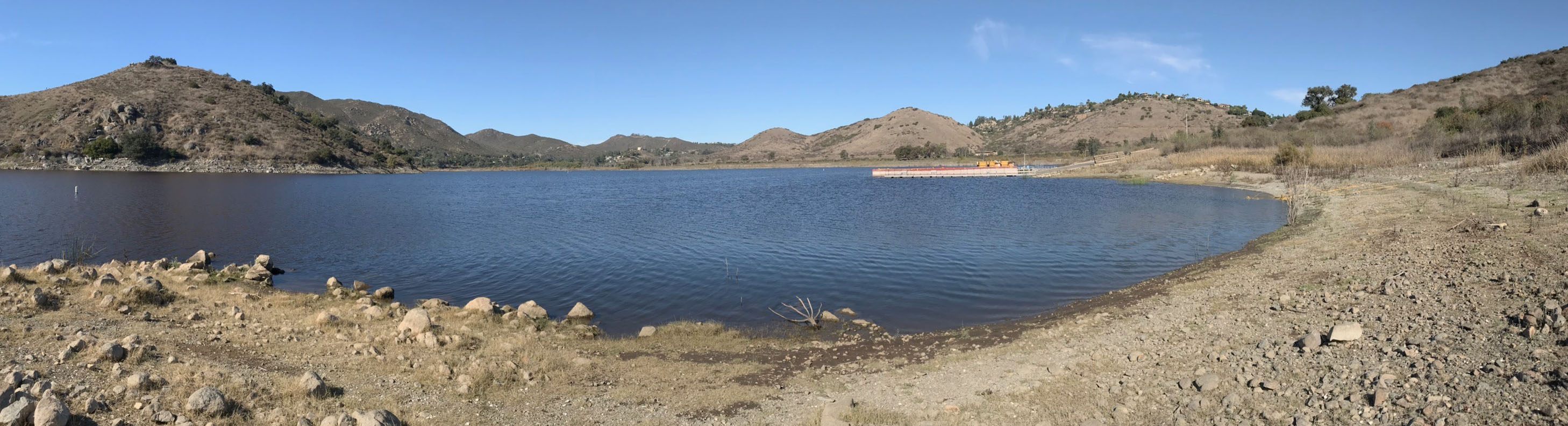
| Fig. 48. Panoramic view from the south end of the boat launch beach looking north. Fletcher point is to the left. Del Dios Community Park is near the center. |
B7
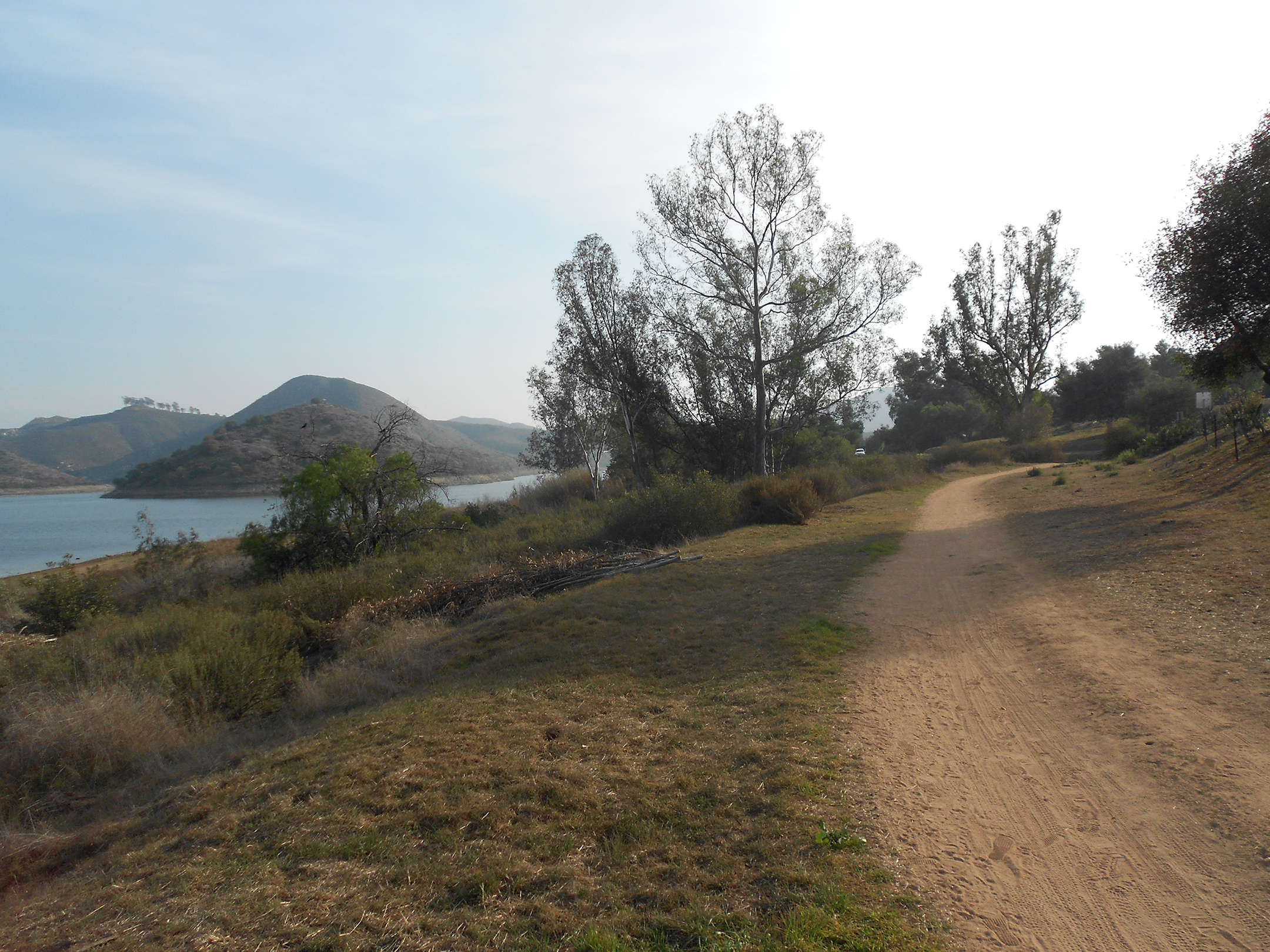
Mid Valley Mesa Trail
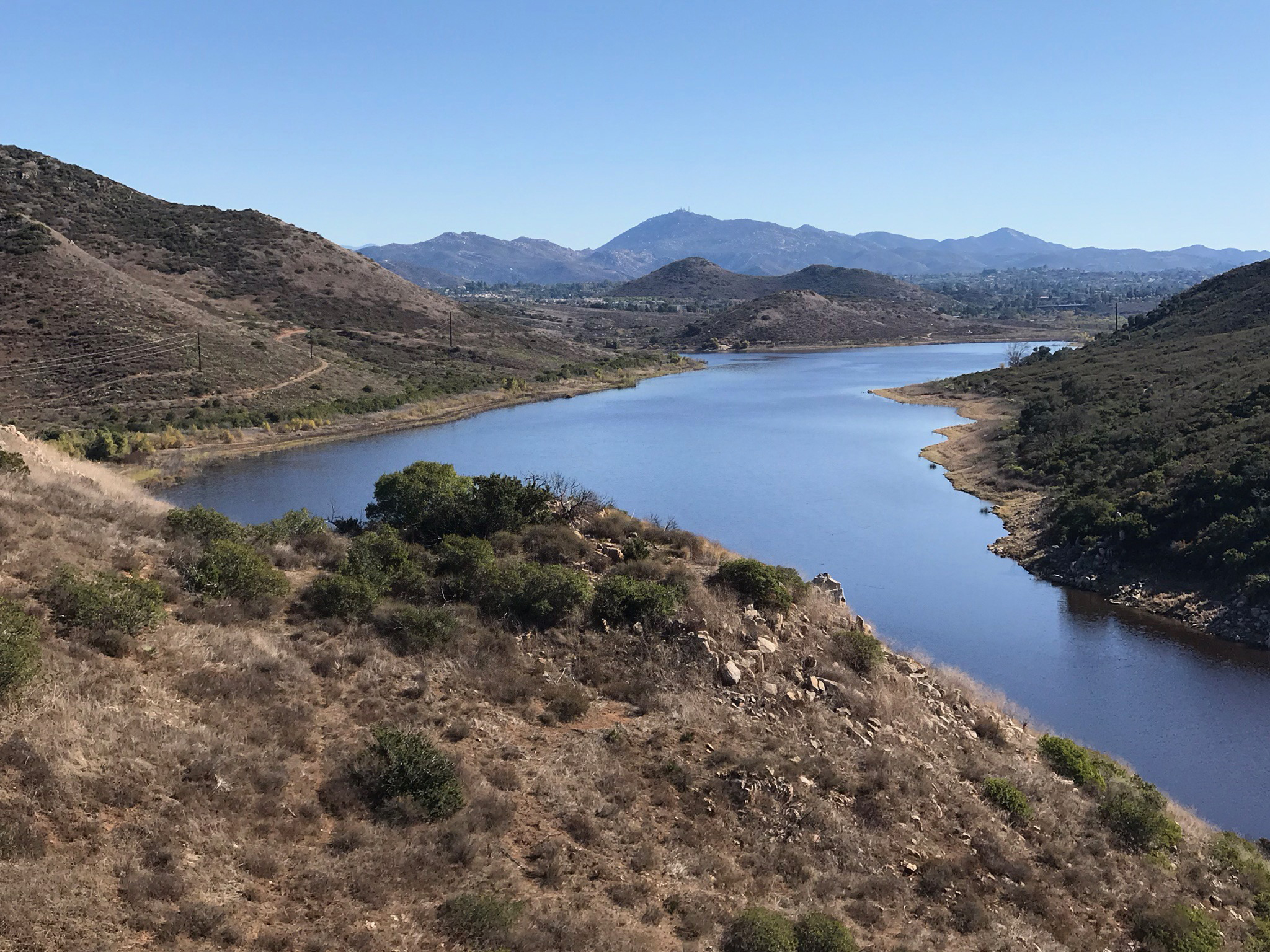
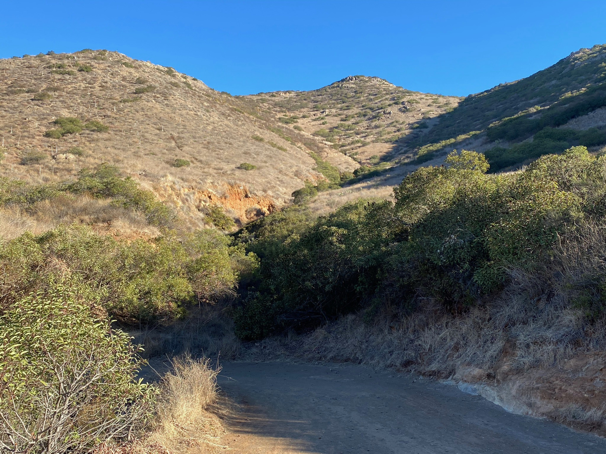
Mid Valley Mesa (unofficial name) is an erosional mesa in the middle of the Lake Hodges valley. The mesa is bordered on the west by the Upper Gorge (now flooded by Lake Hodges) and a wind gap (on the east side of the low mesa). The Mesa top is an eroded surface that formed when the top of the mesa was valley floor several million years ago. Since then the valley floor has eroded down to its current levels (as the lands has slowly risen as well).
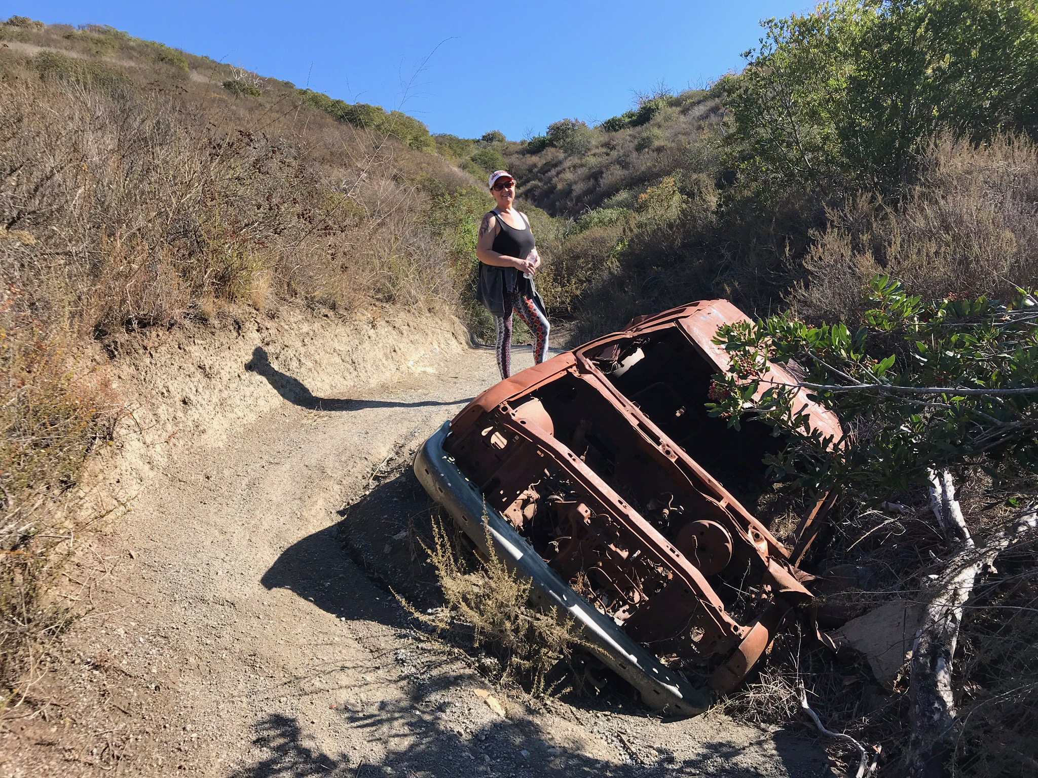
Rusty Car Canyon is also an unofficial, but seemingly appropriate name. How the car got there is uncertain, but it was scorched in the 2007 Witch Canyon Fire, along with everything else in the vicinity. How the car got there must have been quite a story. |
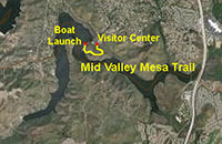 |

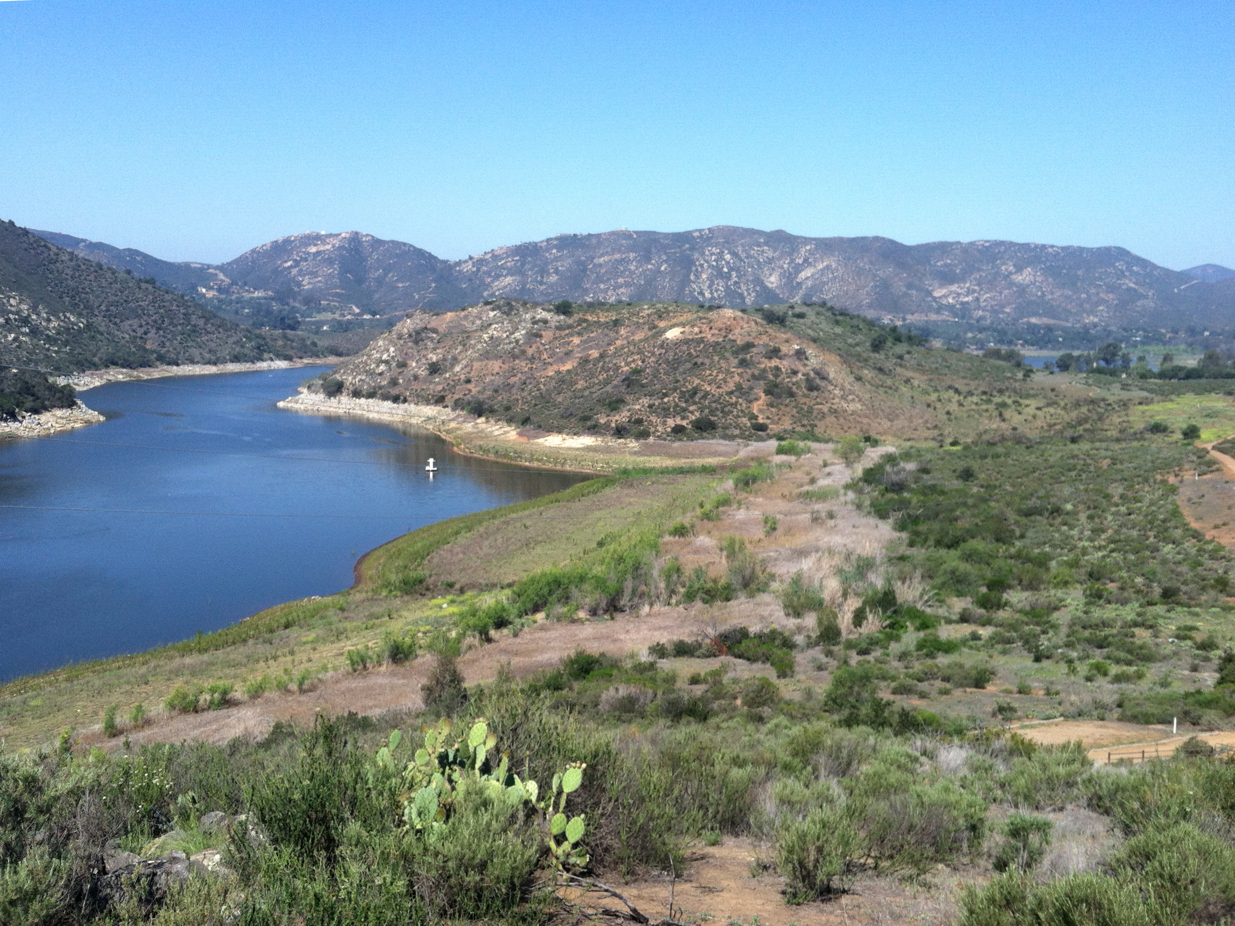
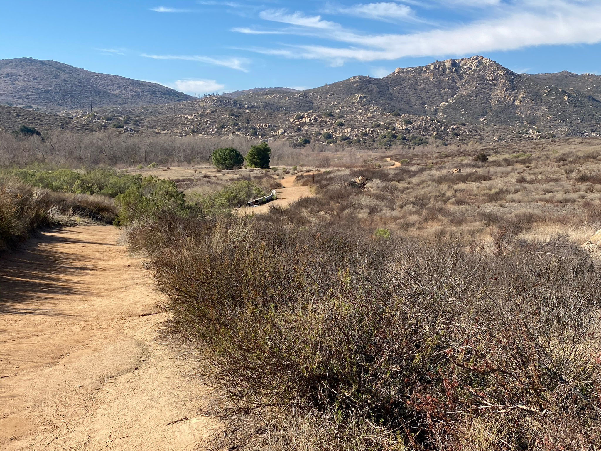
Fig. 49. Mid Valley Mesa between lake & Wind Gap. |
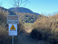
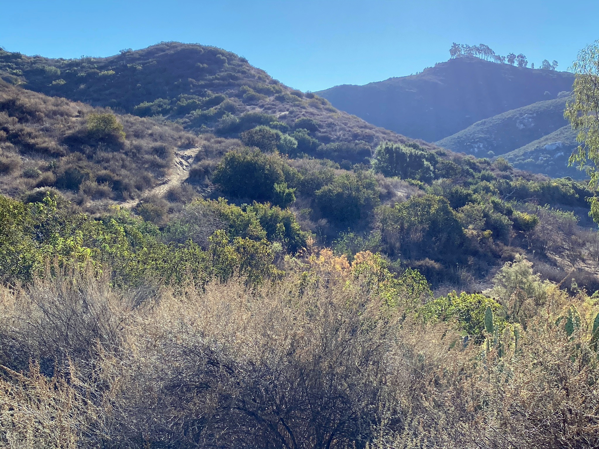
Fig. 50. Mid Valley Mesa Trail starts near the Boat Launch. |
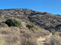
Fig. 51. View of a slope along Mid Valley Mesa Trail. |
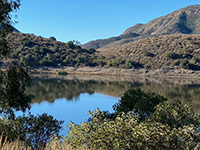
Fig. 52. View of The Pass from Mid Valley Mesa Trail. |

Fig. 53. Rocky slope along the Mid Valley Mesa Trail. |
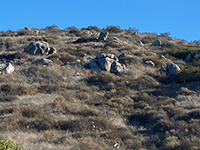
Fig. 54. Boulder patch along the Mid Valley Mesa Trail. |

Fig. 55. Rusty Car Canyon along Mid Valley Mesa Trail. |
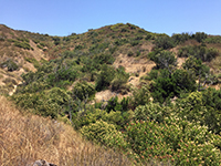
Fig. 56. Rusty Car Canyon along Mid Valley Mesa Trail. |
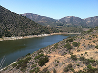
Fig. 57. Trail to the top of Mid Valley Mesa looking west. |
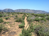
Fig. 58. Flat top of Mid Valley Mesa and Del Dios Highlands |
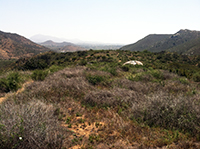
Fig. 59. Looking east along the top of Mid Valley Mesa. |
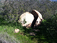
Fig. 60. Split granite boulder along the trail. |

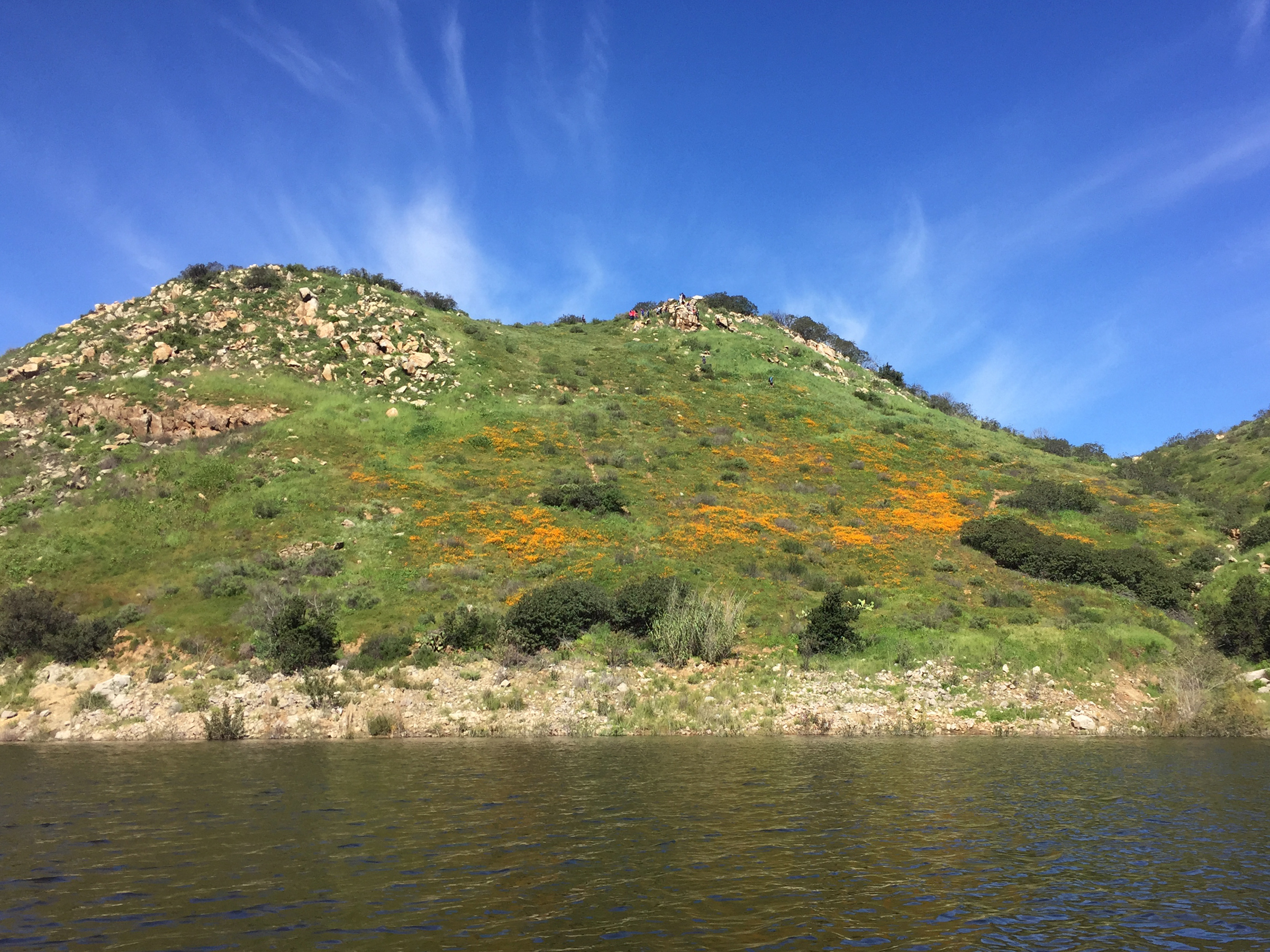
Fig. 61. Poppy fields on the south side of Mid Valley Mesa |

Fig. 62. View from east end Mid Valley Mesa. |
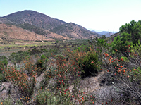
Fig. 63. View of the Wind Gap from Mid Valley Mesa Trail. |
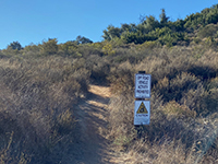
Fig. 64. Mid Valley Mesa Trailhead near Visitor Center. |
|
| Fig. 65. This panoramic view is from a rocky beach near the mouth of Rusty Car Canyon along the Mid Valley Mesa Trail. South Shore Highlands and Fletcher Point peninsula are on the opposite shore. The Wind Vortex area (discussed below) is on the lake in the vicinity of the The Pass in the peninsula near the middle of this panoramic view. |
B8
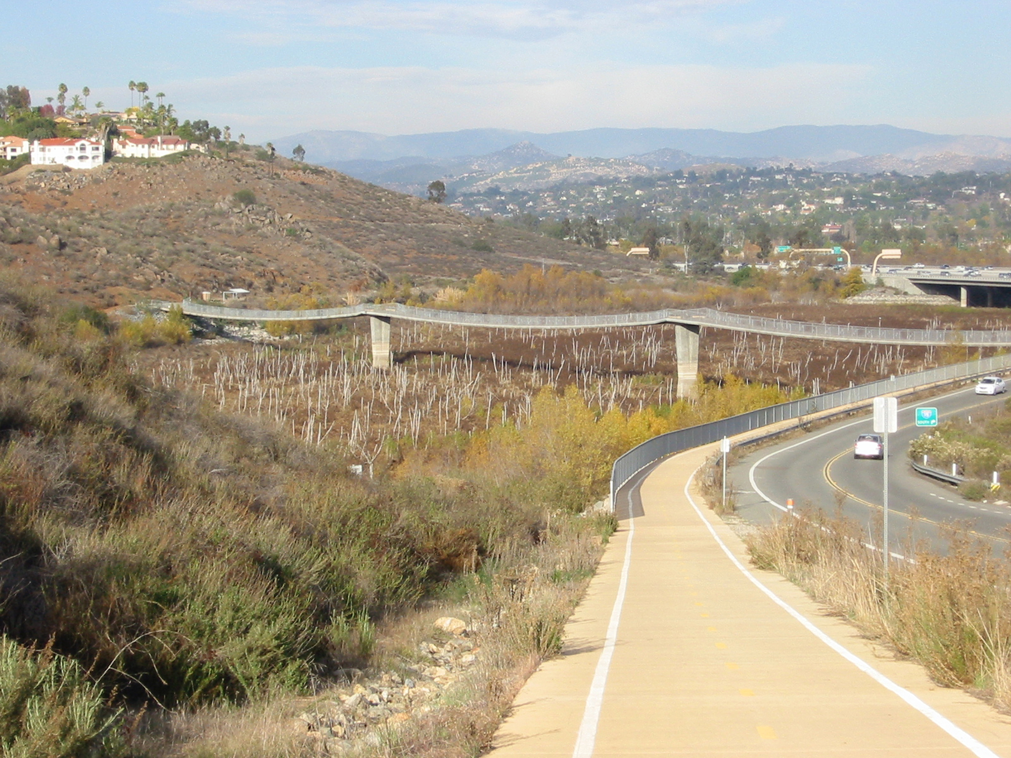
Coast To Crest Trail - Visitor Center to Bernardo Bay Overlook
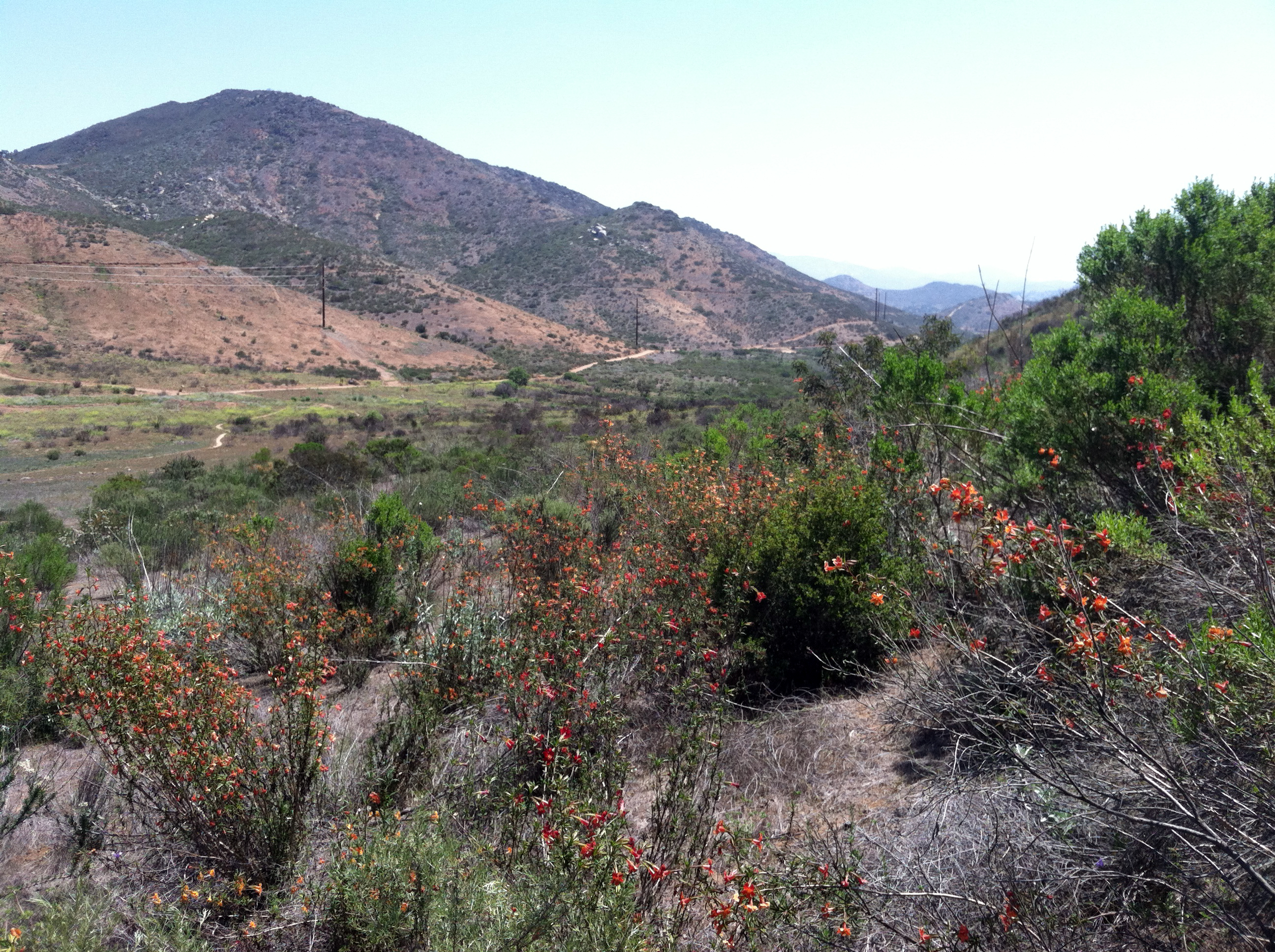
From the Visitor Center, the Coast To Crest Trail cuts though the Wind Gap and follows the shoreline eastward to the Bernardo Bay Overlook. The wind gap is underlain by elevated stream terrace gravel deposits. It used to be the main valley before stream capture created the Upper Gorge (now flooded by the lake). Dog Toy Beach is an unofficial name for the cove at the east end of the wind gap. Named here, because the writer collected 32 various old dog toys on this remote beach. How they all got there over time is uncertain.
Major habitat restoration from the 2007 fire is underway in this area. |
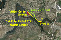 |
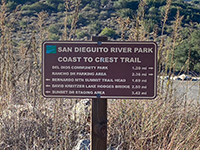
Fig. 66. Coast to Crest Trail sign near the Visitor Center. |

Fig. 67. Coast To Crest Trail near Visitor Center parking lot. |
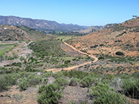
Fig. 68. View of the Wind Gap from the Lake View Trail. |
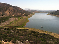
Fig. 69. Dog Toy Beach (cove) looking east. |
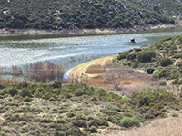
Fig. 70. Dog Toy Beach (cove) looking west. |
Fig. 71. Riparian shoreline and coastal sage scrub habitats. |

Fig. 72. North Shore lake view with the Upper Gorge. |
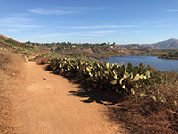
Fig. 73. View looking east along Coast to Crest Trail |
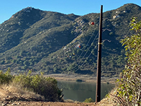
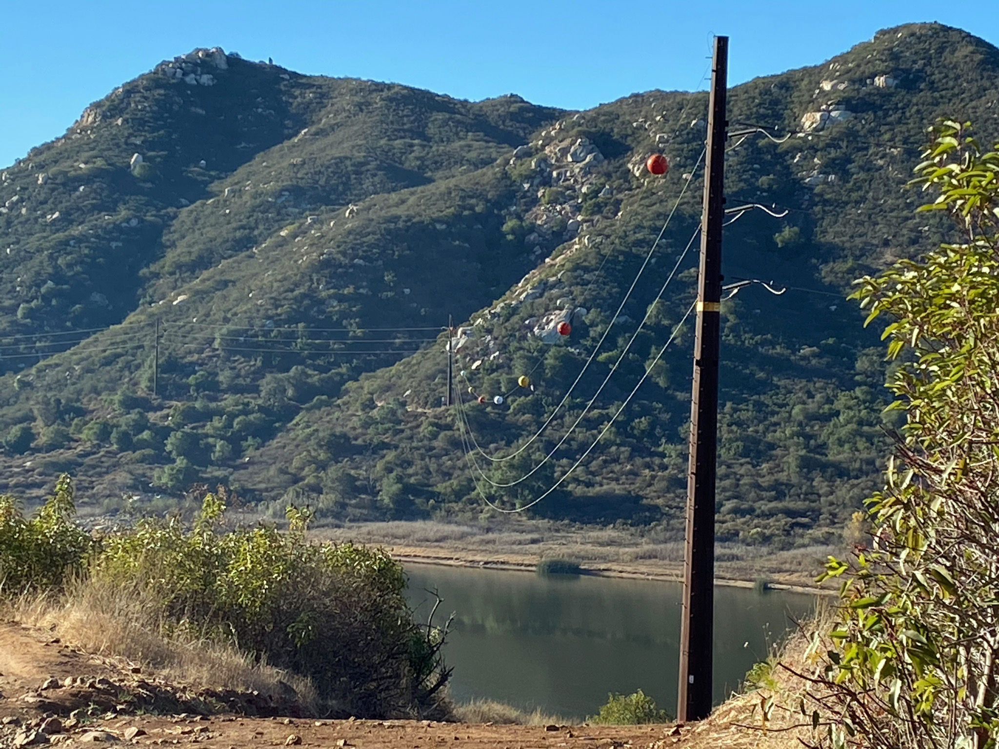
Fig. 74. Power-line pole and lines crossing Lake Hodges. |
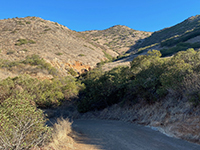
Fig. 75. View looking up the ravine on the North Shore. |
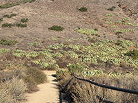
Fig. 76. Spur trail link to the North Shore Overlook. |
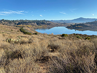
Fig. 77. View looking east from North Shore Overlook. |
|

| Fig. 78. Panoramic view looking south along a ravine near the power lines crossing from the North Shore Trail toward lake and south shore. |
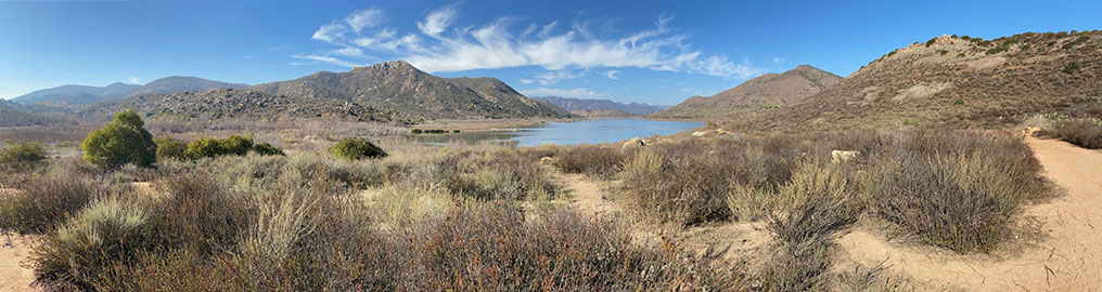
| Fig. 79. Panoramic view looking south from the North Shore Overlook toward Piedras Pintadas, Bernardo Bay, and the South Shore Highlands. |
B9
Lake View Trail
The Lake View Trail is a higher alternative route that connects back through the Wind Gap to the Coast to Crest Trail near the Visitor Center. The 1.15 mile trail is narrow and cuts across some rocky ravines. The route provides some higher and more encompassing views than the lower main trail. However, this narrow route is commonly used by speeding mountain bikers (and yes, rattlesnakes). |
|
Fig. 80. Trail for CTC Trail & Lake View Trail (upper). |
Fig. 81. Lake View Trail parallels the CTC Trail. |

Fig. 82. Granite outcrops below the Lake View Trail. |
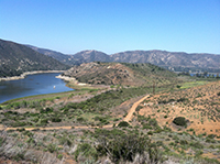
Fig. 83. Mid Valley Mesa from the Lake View Trail. |
|

| Fig. 84. Panoramic view from the North Shore upper bike trail looking west toward the gap of the old stream terrace. |
B10
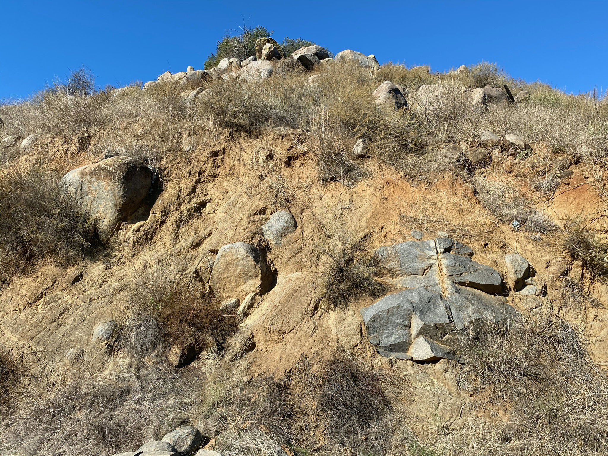
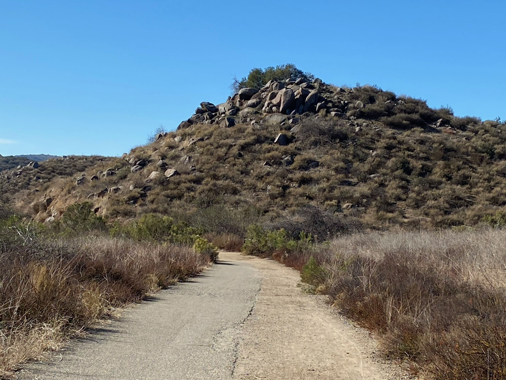
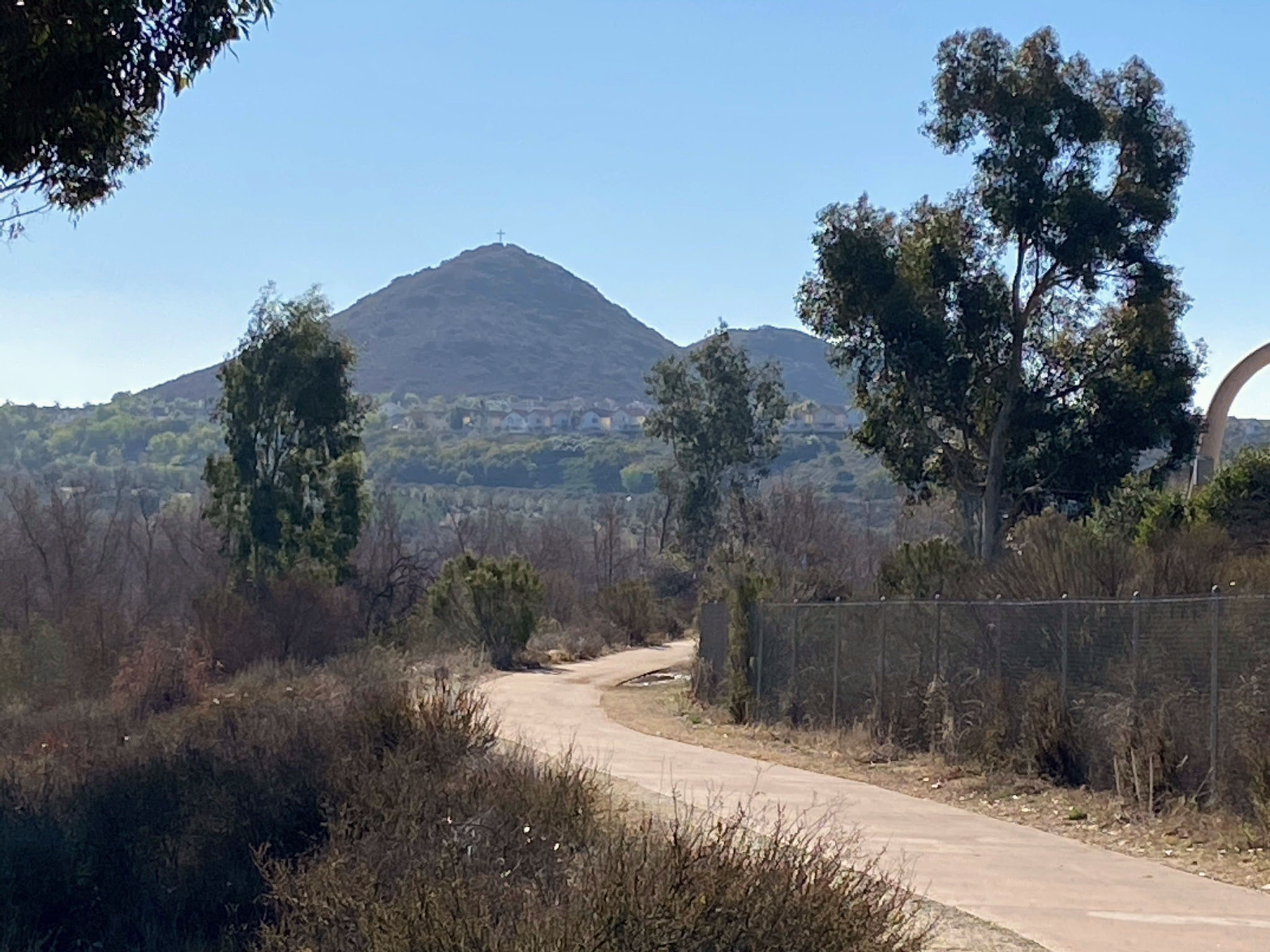
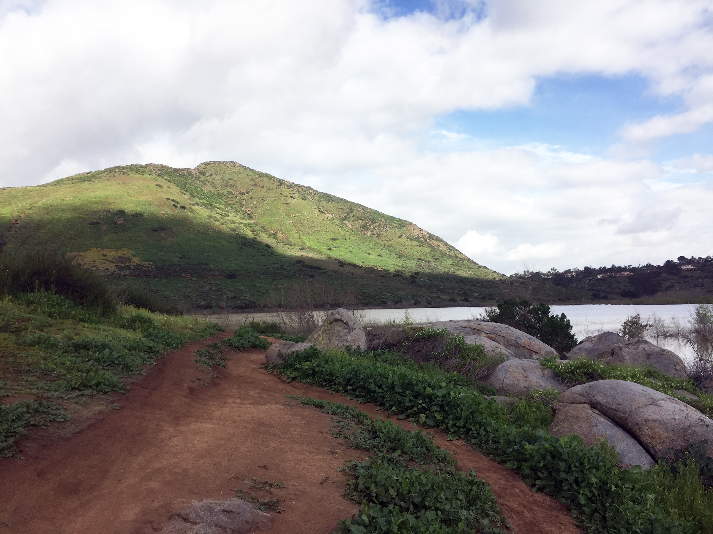
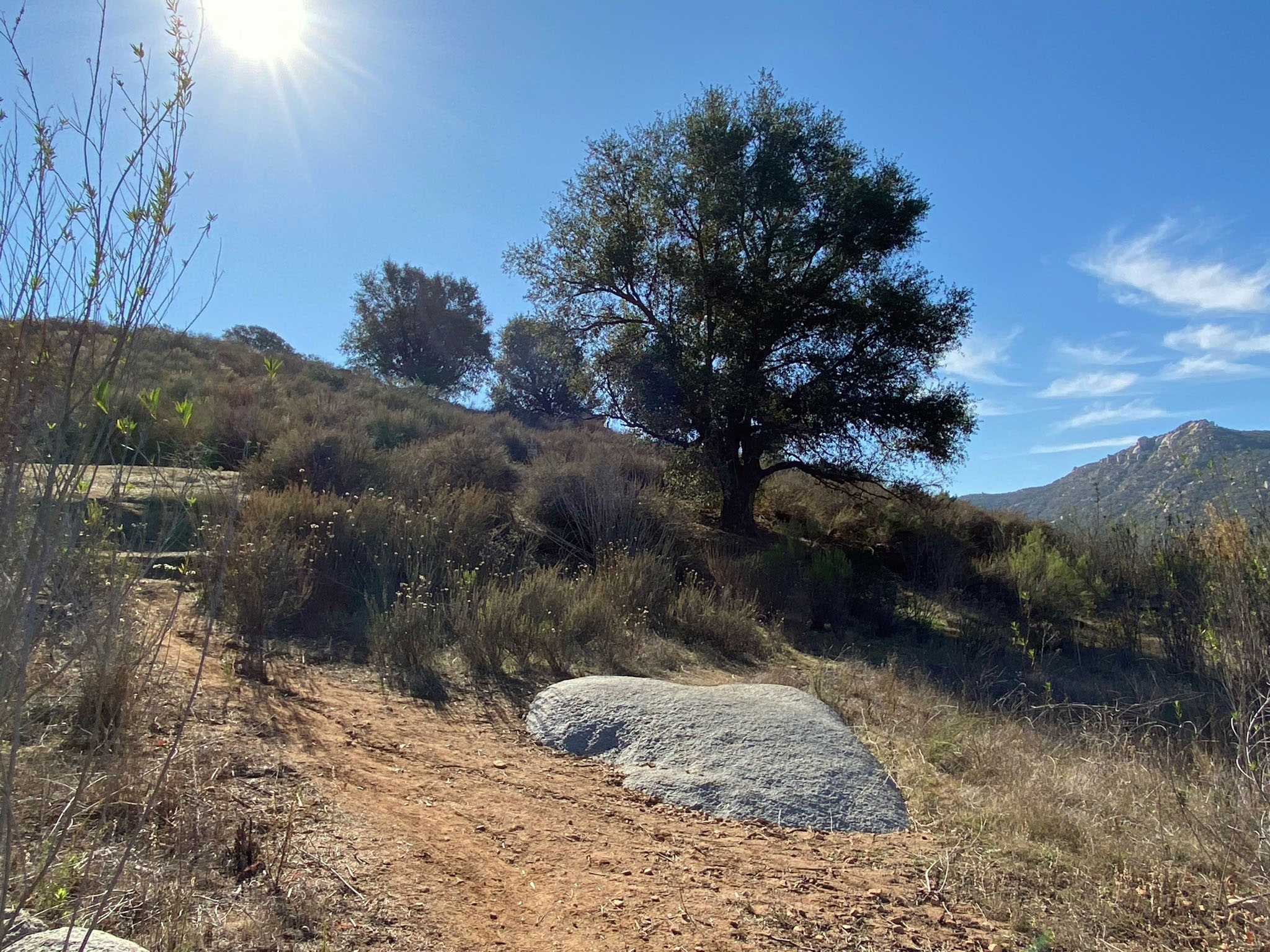
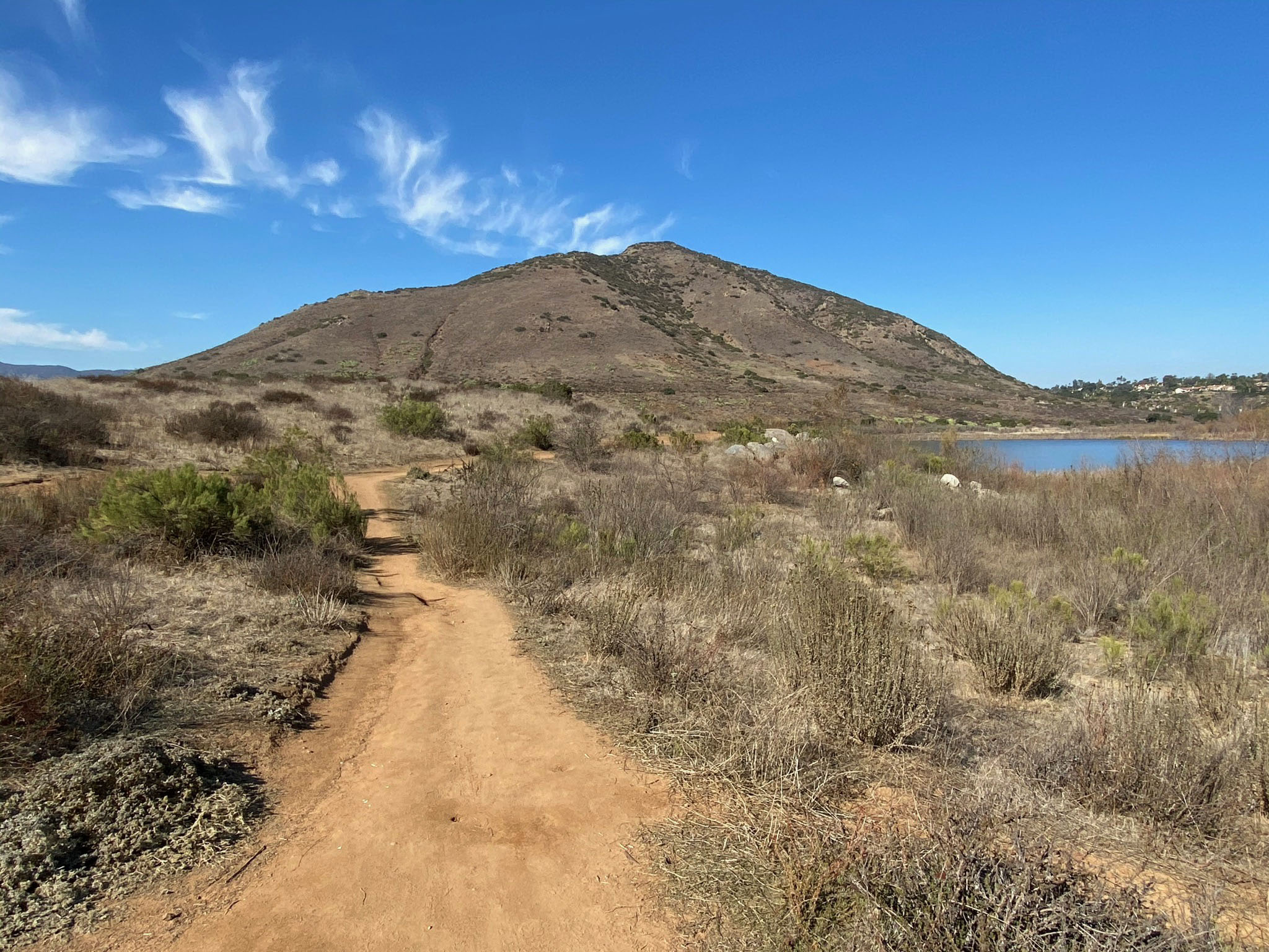
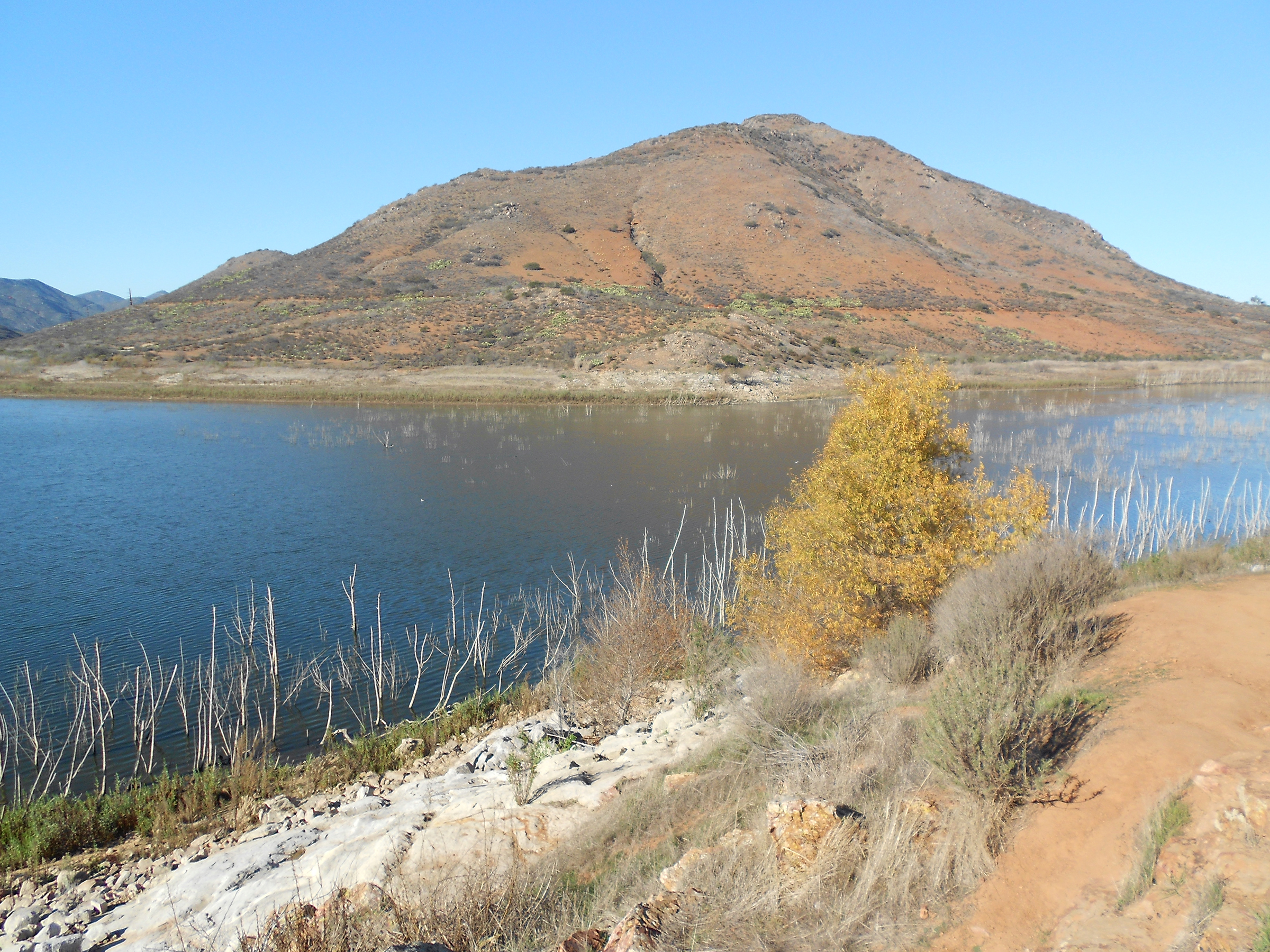
Bernardo Mountain Trail
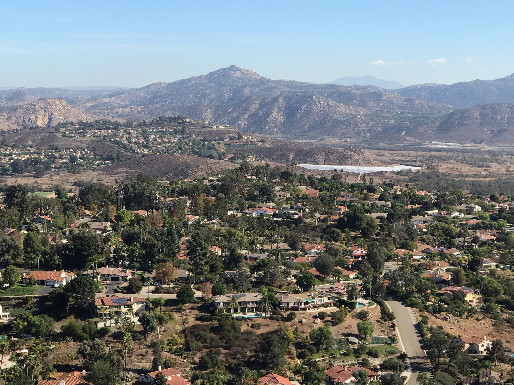
The Bernardo Mountain Trail links to the North Shore - Coast To Crest Trail a short distance west of the Felicita Creek crossing. The trail winds up the Felicita Creek Valley before climbing steadily and steeply to the summit of Bernardo Mountain. Unfortunately, the highway noise from Interstate 15 and Escondido is fairly constant for much of the hike, but the scenery of this mountain hike is awesome. The mountain is a monadnock that rises above the surrounding highlands region. |
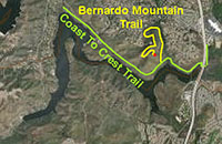 |
Fig. 85. Bernardo Mountain from Lake Hodges Bridge. |
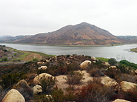
Fig. 86. Bernardo Mountain from Piedras Pintadas Trail. |
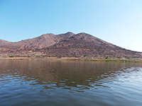
Fig. 87. Kayak view of Bernardo Mountain. |

Fig. 89. View east along Bernardo Mountain Trail. |
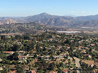
Fig. 88. View north toward Felicita and Gonzales Peak |
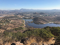
Fig. 90. Peak view toward the East Bay and I-15 bridges. |
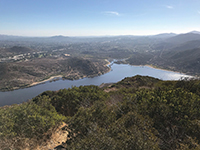
Fig. 91. Peak view of Piedras Pintadas and Bernardo Bay. |
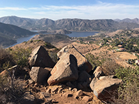
Fig. 92. Fire-scorched rocks on Bernardo Peak. |
|
| Fig. 93. Panoramic view looking east from the top of Bernardo Mountain toward the Felicita Highlands along the I-15 corridor. |
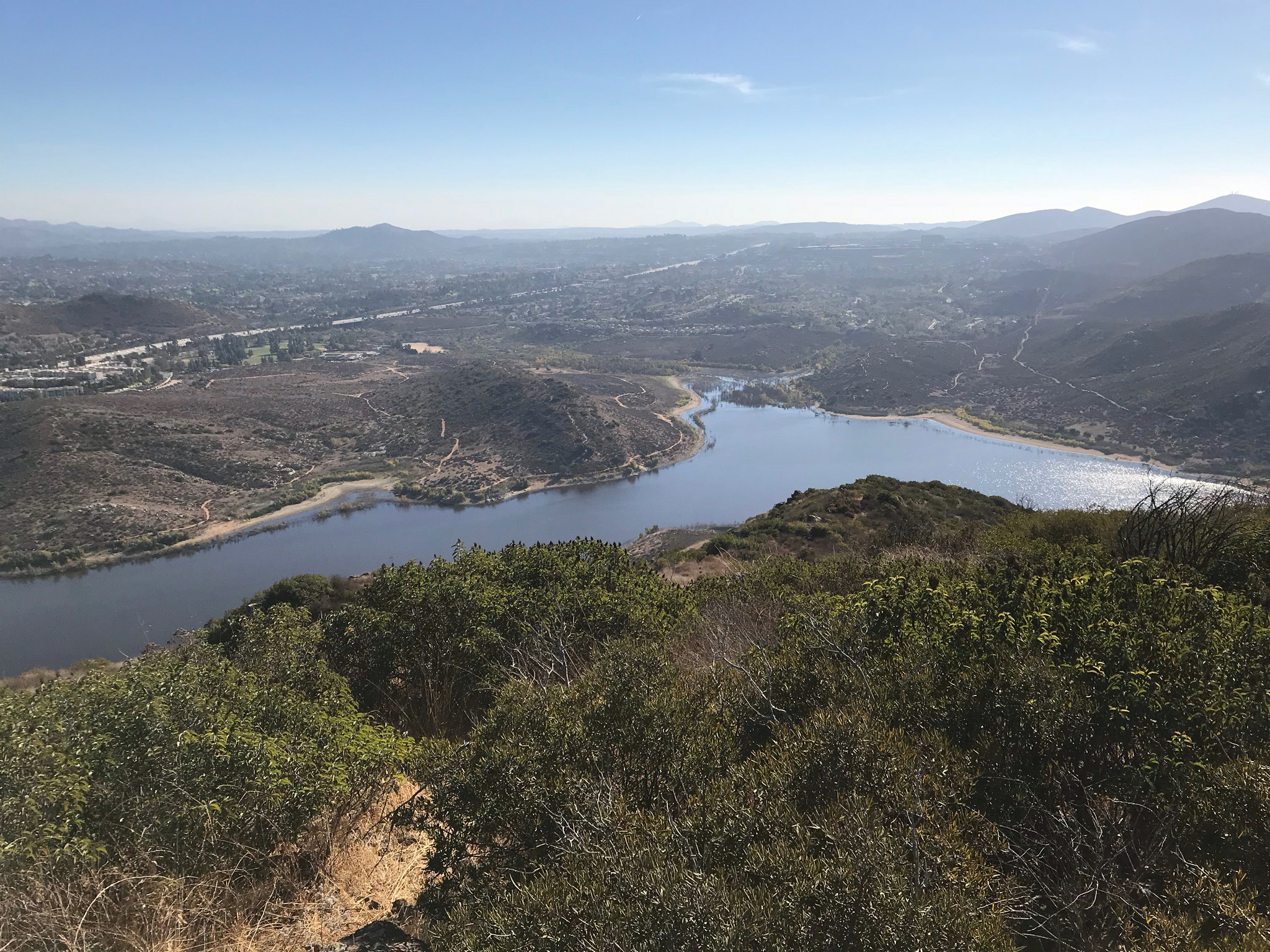
| Fig. 94. View looking north at Lake Hodges from the top of Bernardo Mountain. The community of Felicita is on the mesa on the right. The Del Dios Highland are in the distance beyond the lake. |
B11
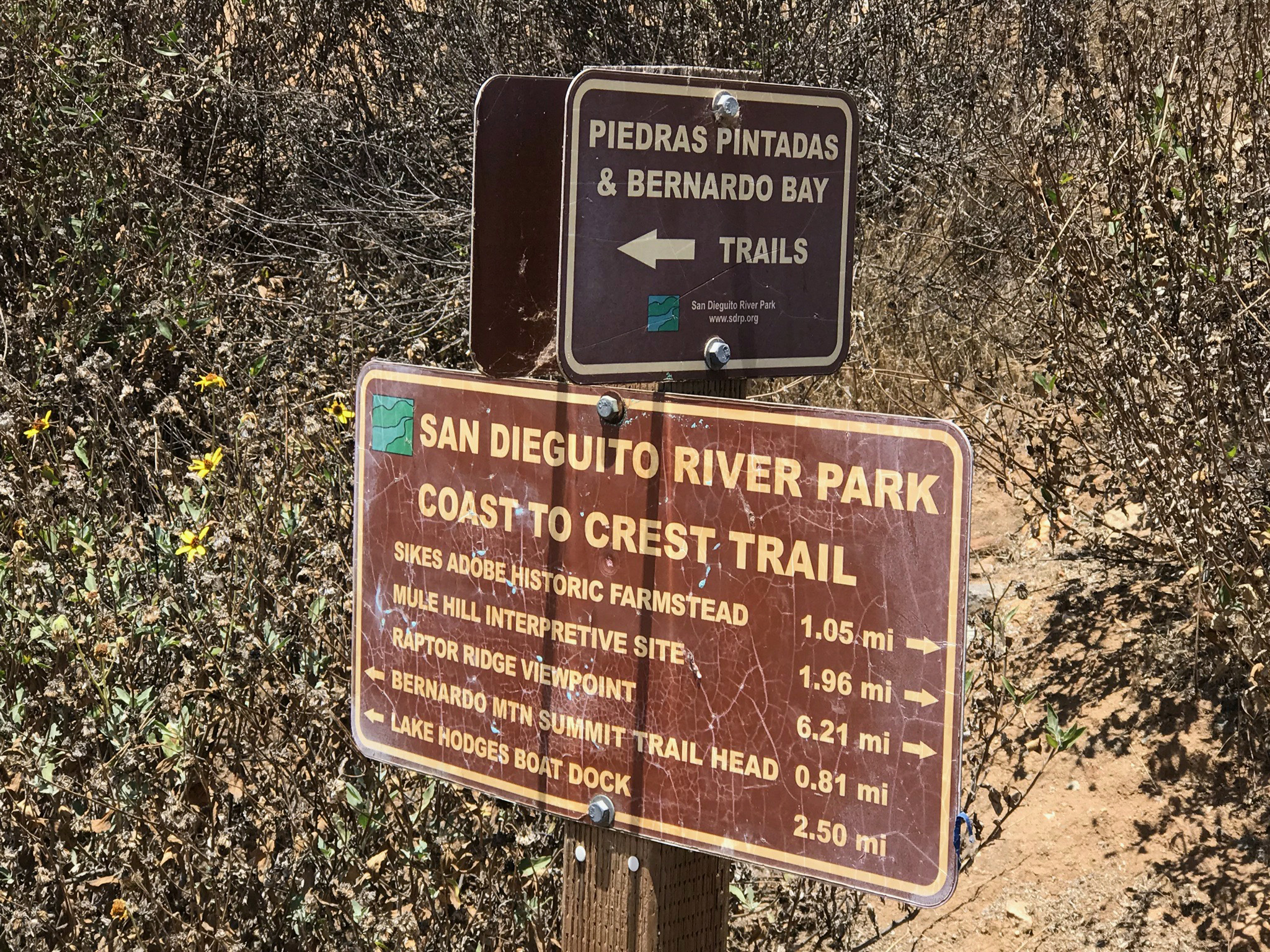
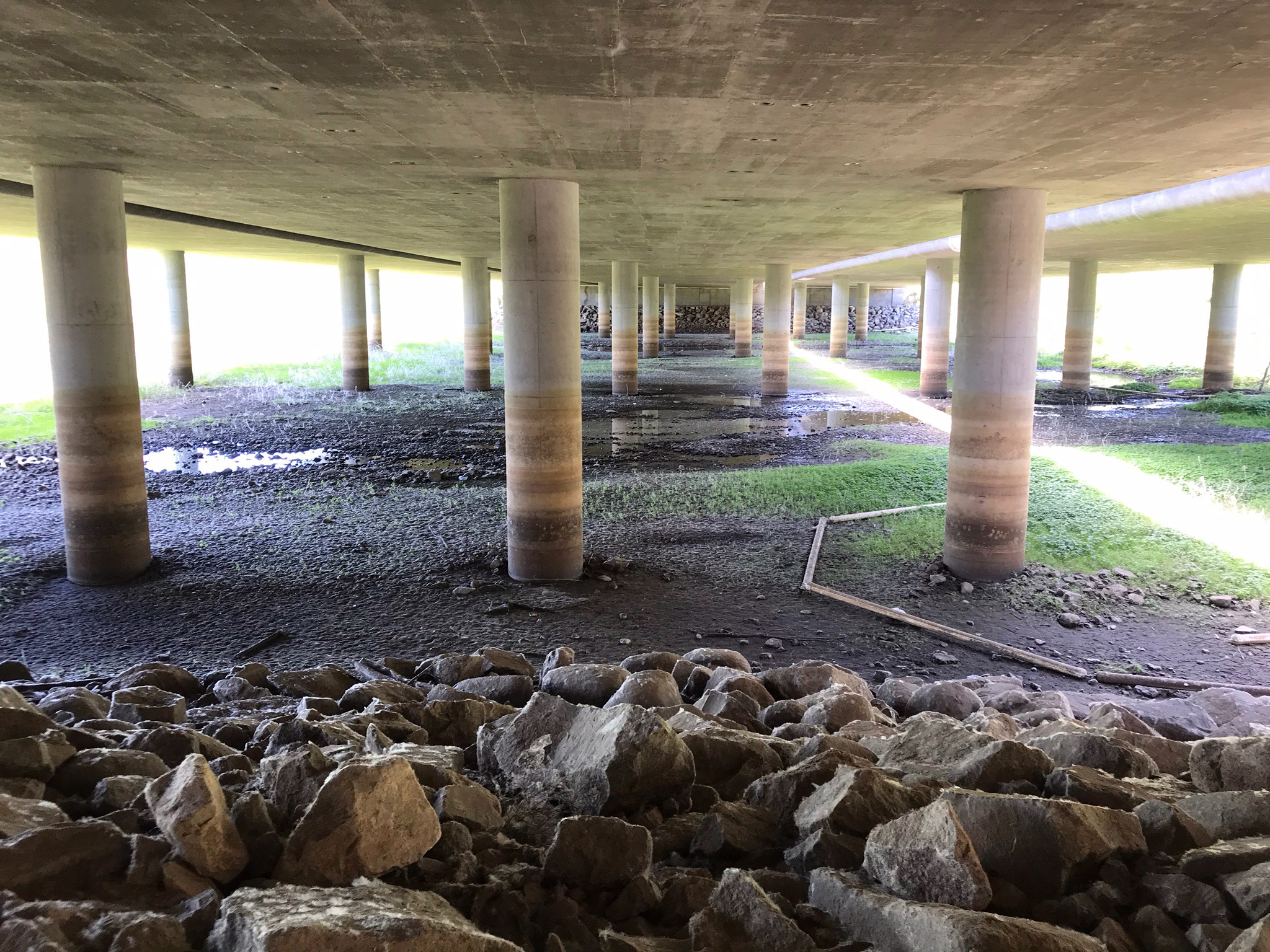
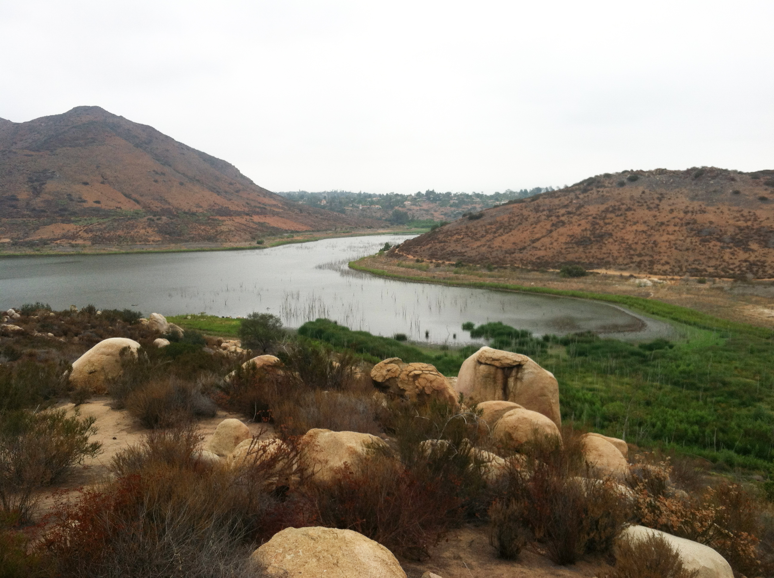
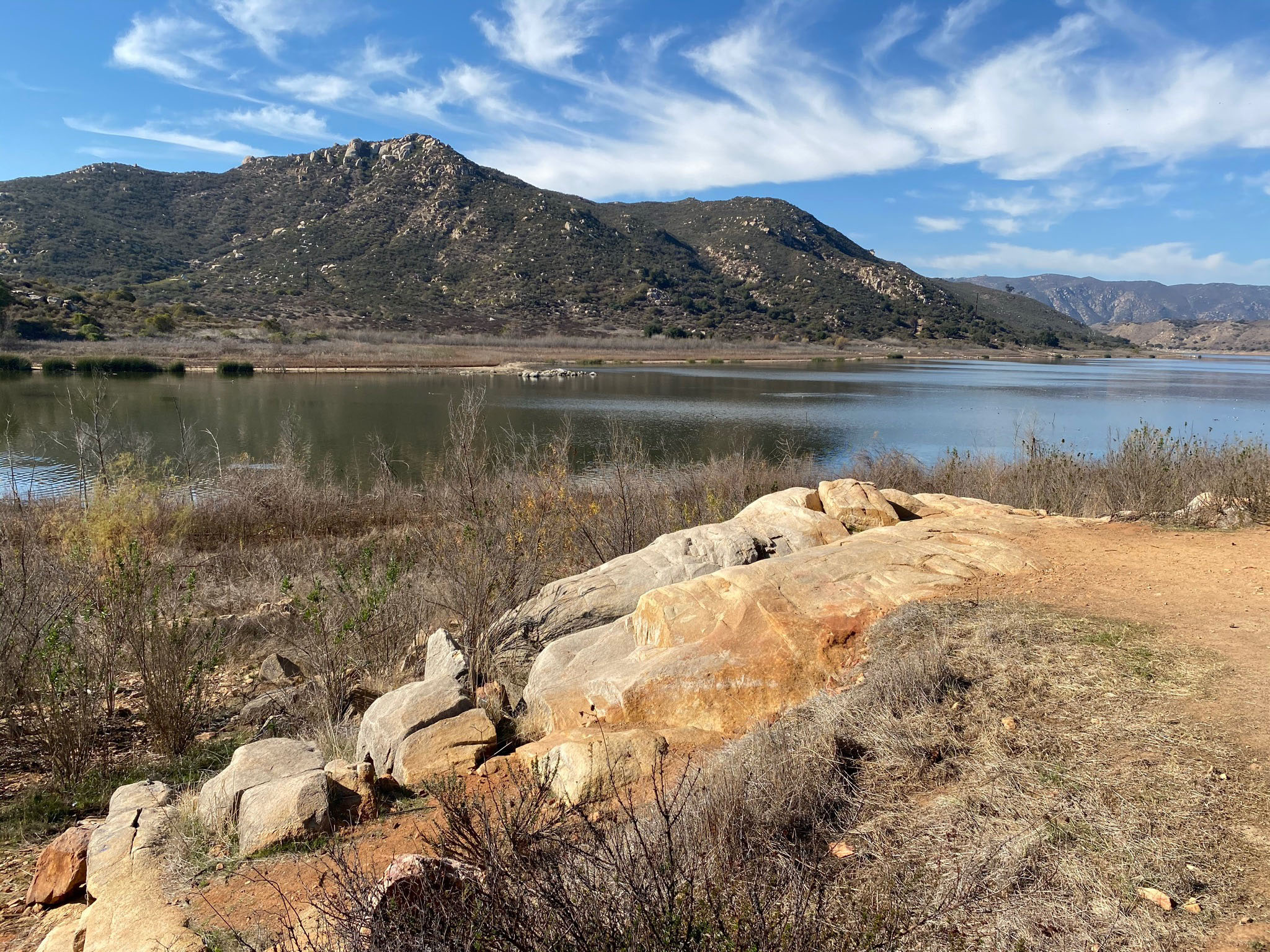
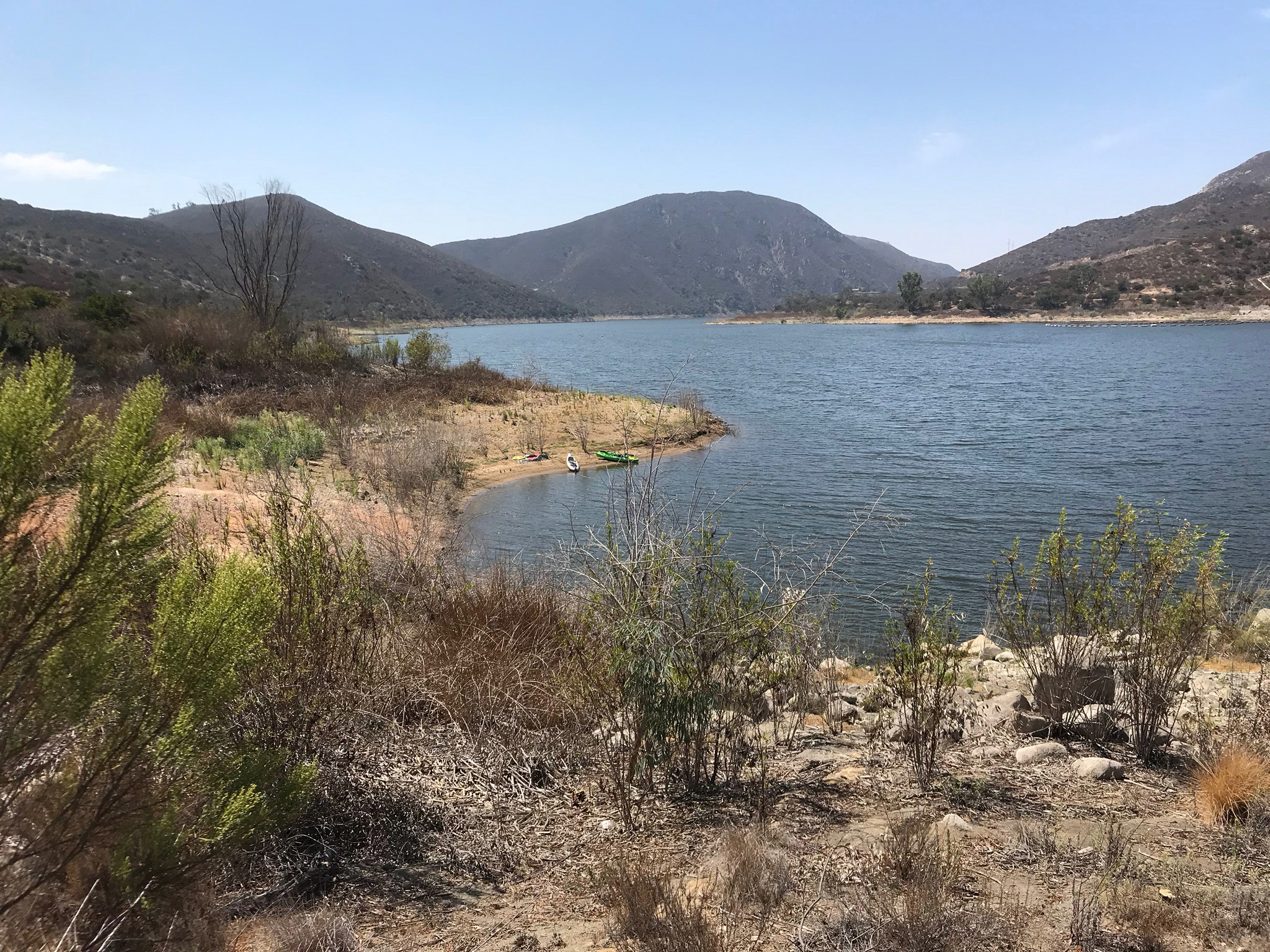
Coast To Crest Trail - Bernardo Bay Overlook to Sykes Adobe
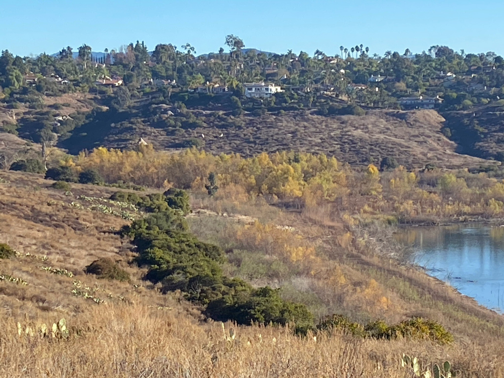
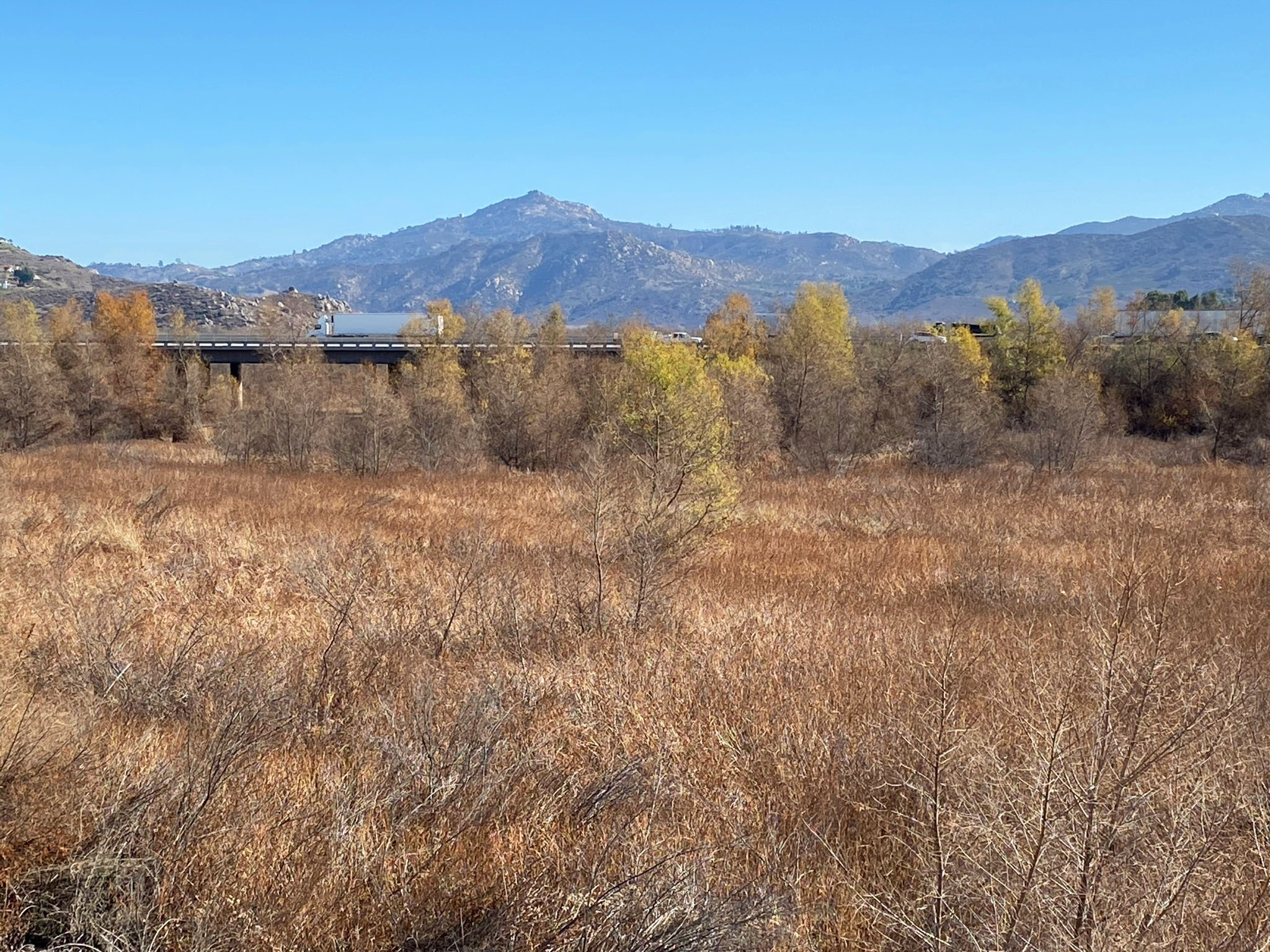
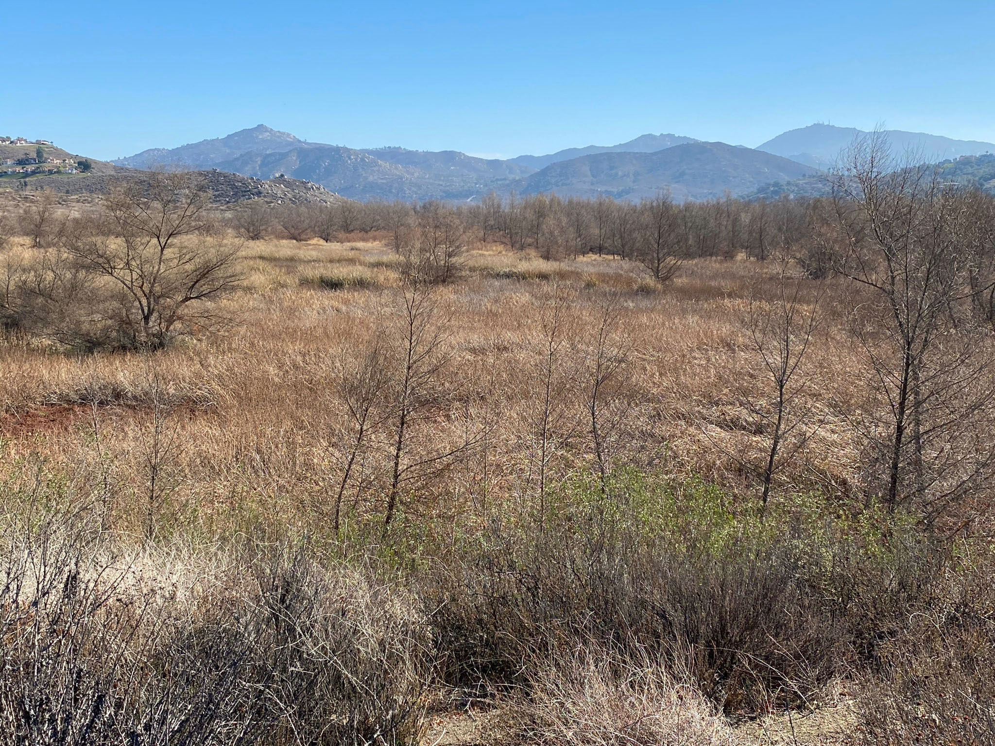
This section of the Coast To Crest Trail runs along the East Bay of Lake Hodges past wetlands habitats near the David Kreitzer Lake Hodges Bridge and I-15 bridges, and on to the Sunset Drive Trailhead near Sykes Adobe. The Felicita Creek crossing is a welcoming shady spot along the trail. Sikes Adobe historic farmstead has the oldest remaining building in northern San Diego County. It is only open to the public on Sundays 10:30 am to 3:30 pm. |
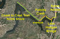 |

Fig. 95. View east from overlook to Felicita Creek. |
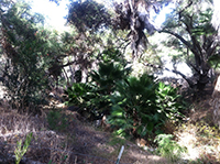
Fig. 96. Felicita Creek along Coast to Crest Trail, |
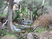
Fig. 97. Felicita Creek crossing along CTC Trail. |
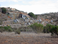
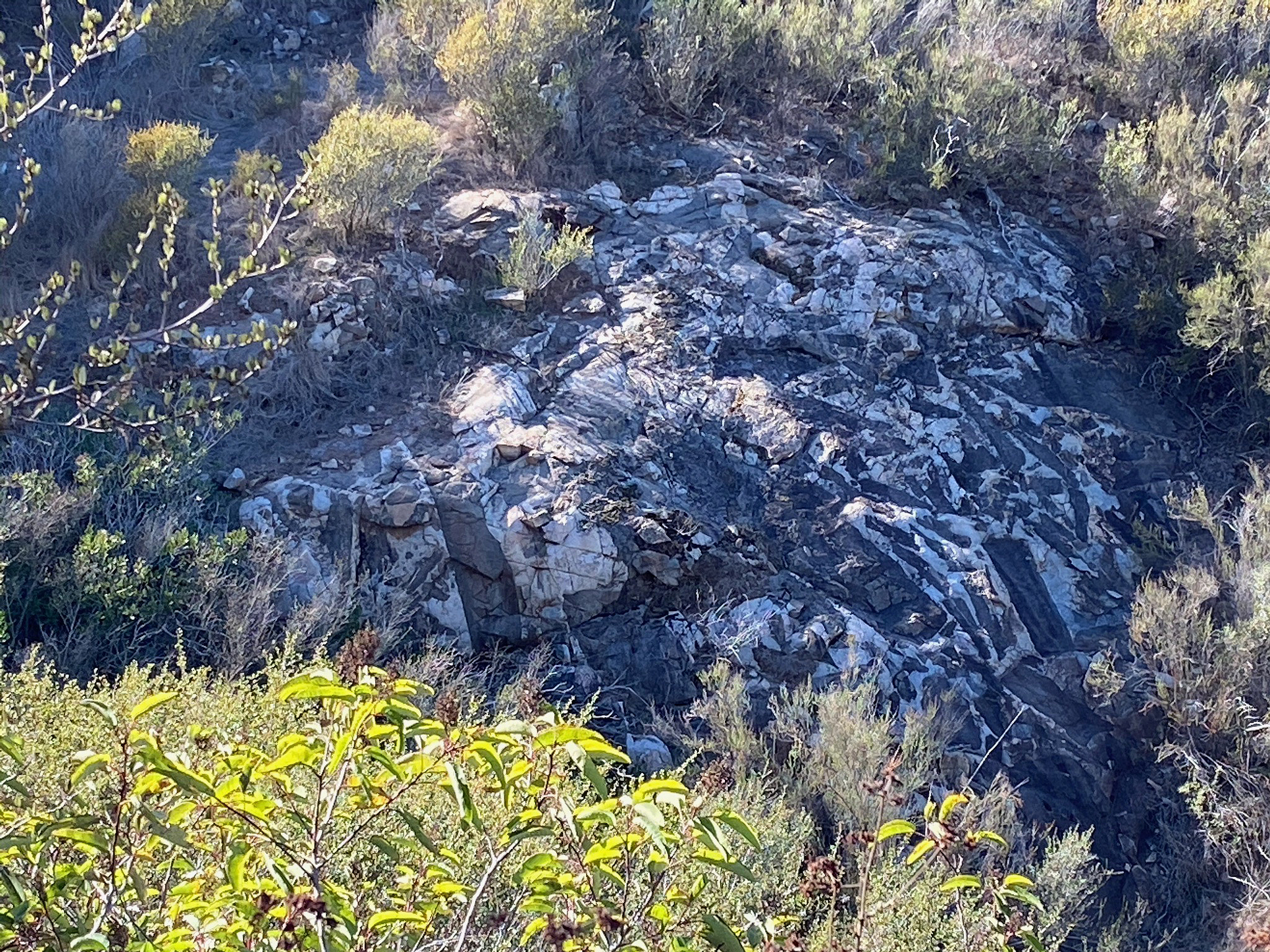
Fig. 98. Excavation in granitic bedrock along the CTC Trail. |
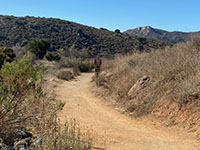
Fig. 99. Coast to Crest Trail west of Lake Hodges Bridge. |
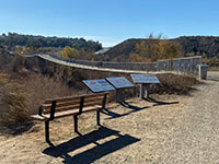
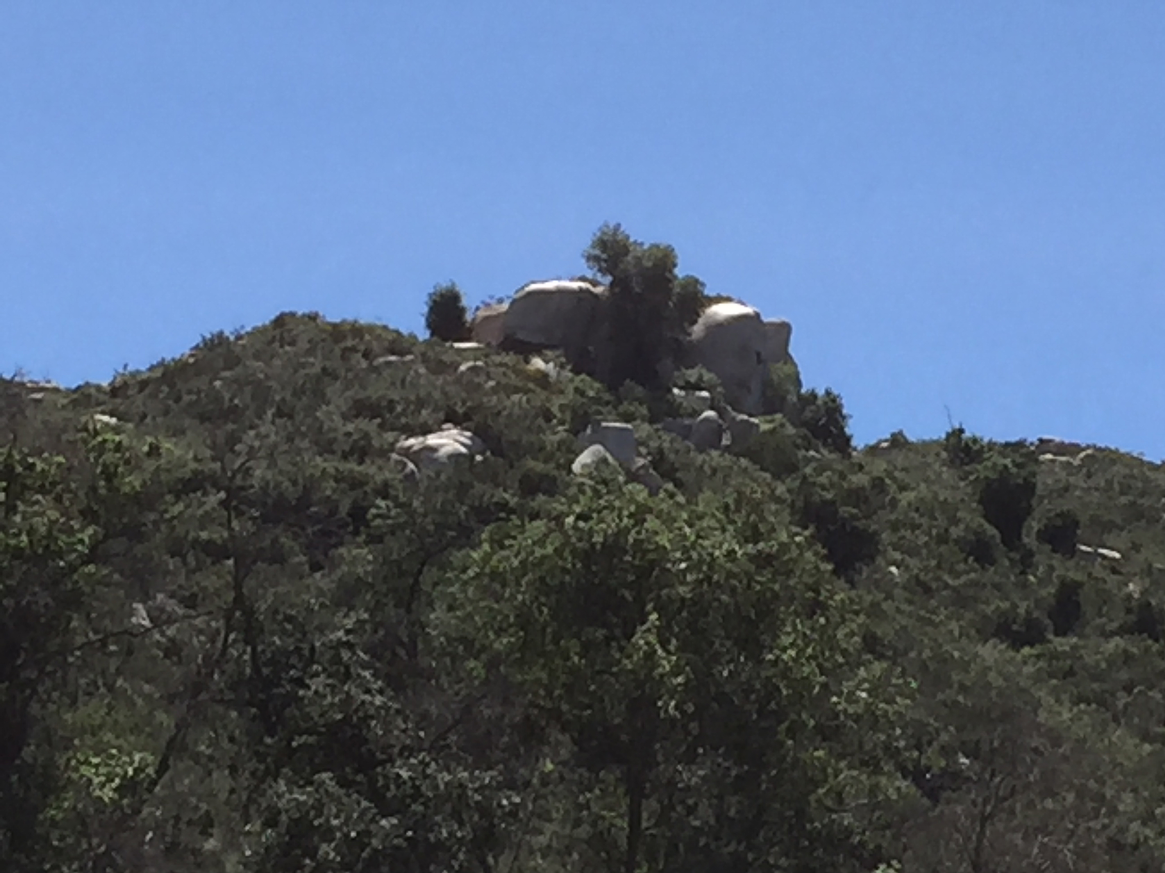
Fig. 100. David Kreitzer Lake Hodges Bridge with displays. |
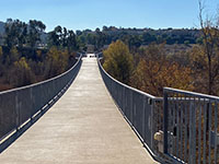
Fig. 101. View looking south across Lake Hodges Bridge. |

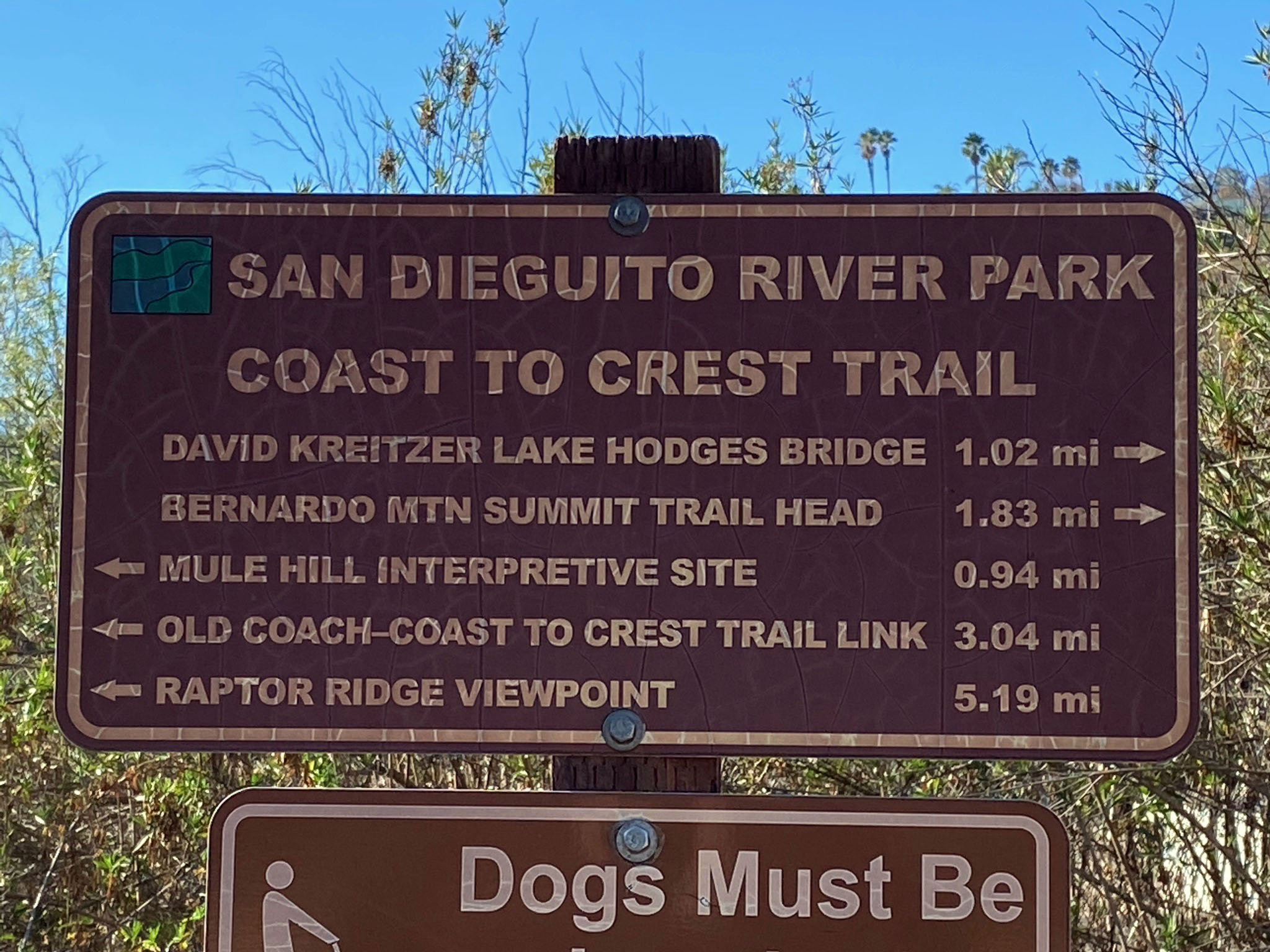
Fig. 102. Trail mileage sign at Lake Hodges Bridge. |
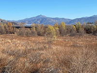
Fig. 103. View of wetlands, I-15, and Gonzales Peak. |
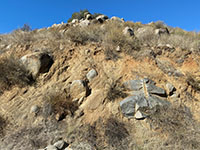
Fig. 104. Granitic boulders weathering from a hillside |

Fig. 105. Boulder-capped hill above old Highway 395. |
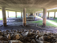
Fig. 106. Trail view under the I-15 bridges. |

Fig. 107. CTC Trail next to I-15 with Battle Peak to south. |
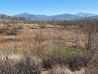
Fig. 108. Wetlands between I-15 and Mule Hill Battlefield. |
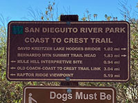
Fig. 109. Trail mileage sign at the Sunset Drive trailhead. |
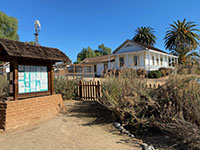
Fig. 110. Sikes Adobe and River Parks kiosk. |
|
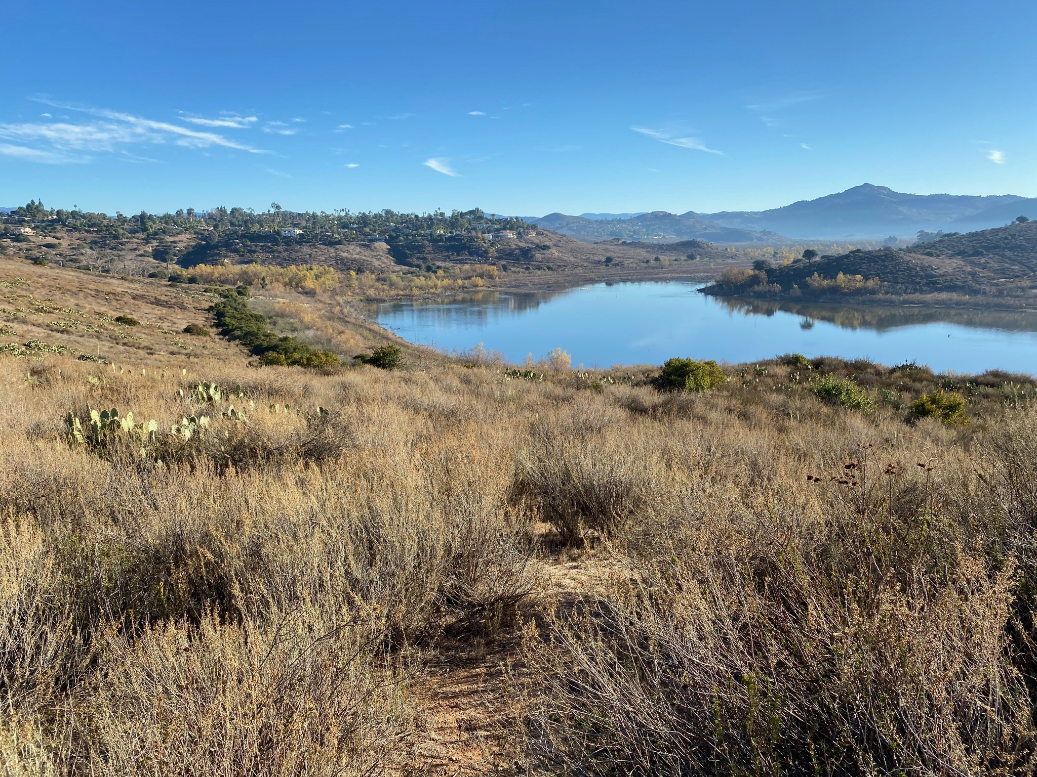
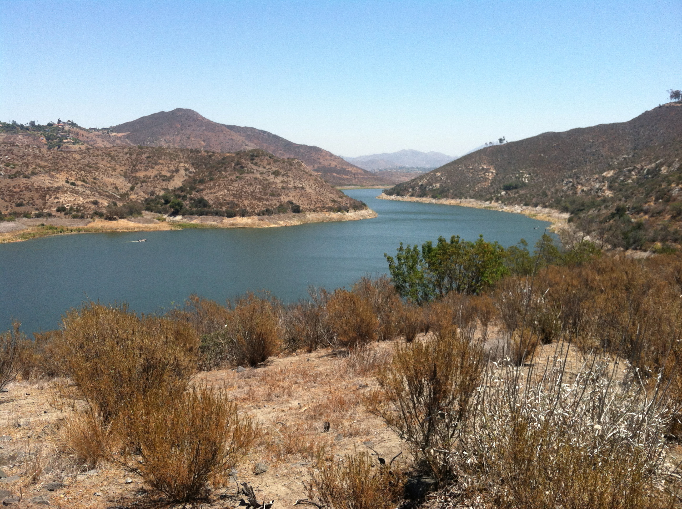
| Fig. 111. Panoramic view of Bernardo Bay and the East Bay of Lake Hodges with the Piedras Pintadas mesa region on the opposite shore (in center). |
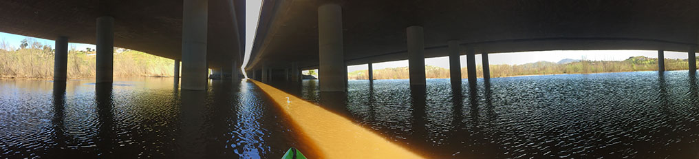
Fig. 112. Panorama of the view of Lake Hodges during high water under the Interstate 15 bridges (May, 2017). With new 2019 lake water level rules, this area may never flood again.
|
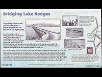
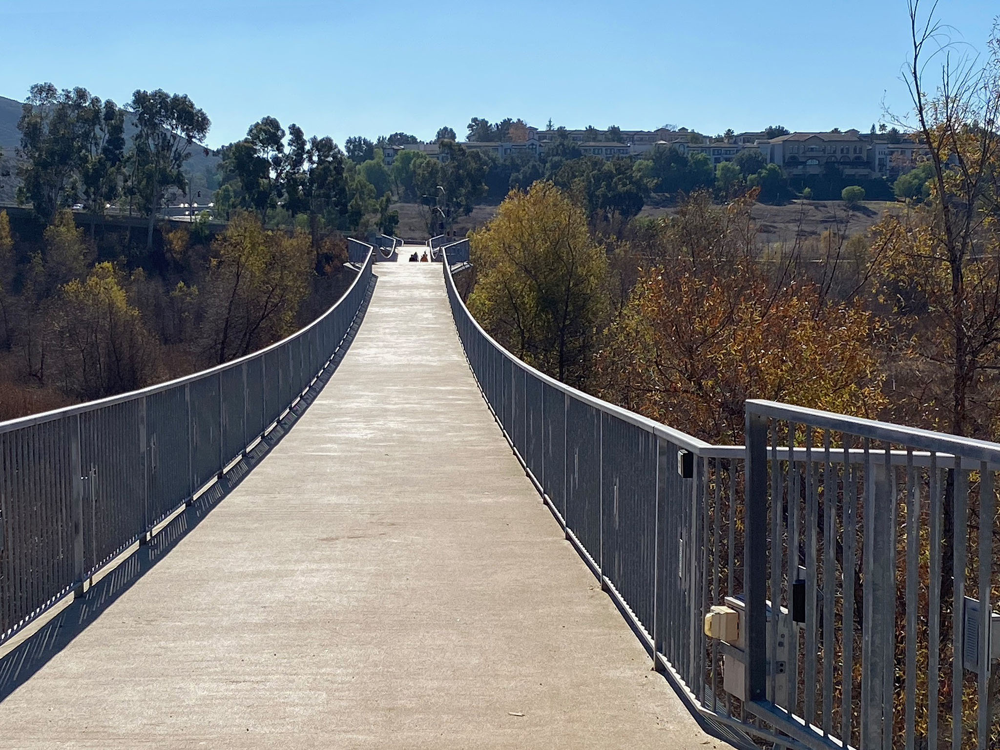
Fig. 113. History of bridges. |
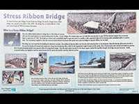
Fig. 114. Stress ribbon bridge. |
| Figures 113 and 114 are touched-up views of the display boards provided by the San Diego River Parks at the north end of the David Kreitzer Lake Hodges Bridge (see Figure 110). One tells a brief history of the Highway 395 bridges that once spanned the river valley before the construction of the I-15 bridges. The other describes the unique construction of the stress ribbon bridge (David Kreitzer Lake Hodges Bridge). |
B21
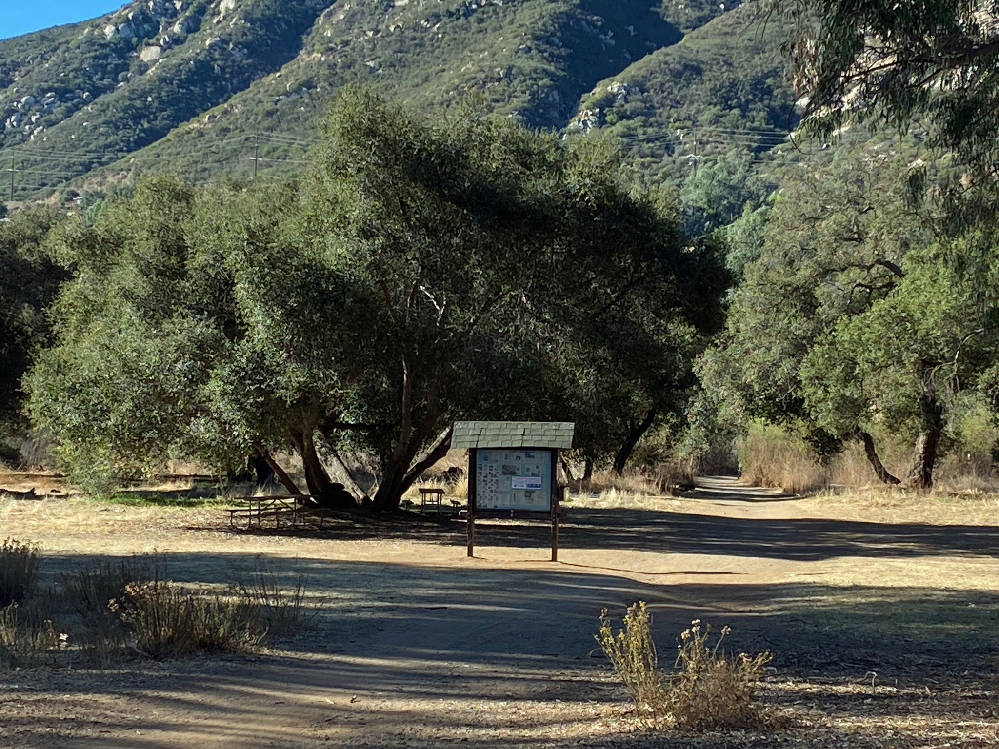
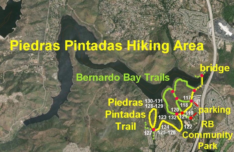
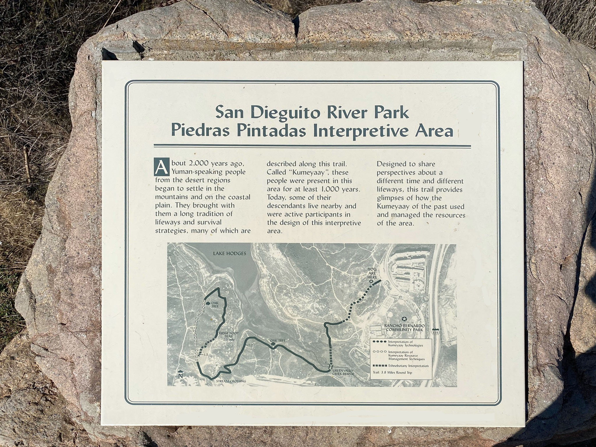
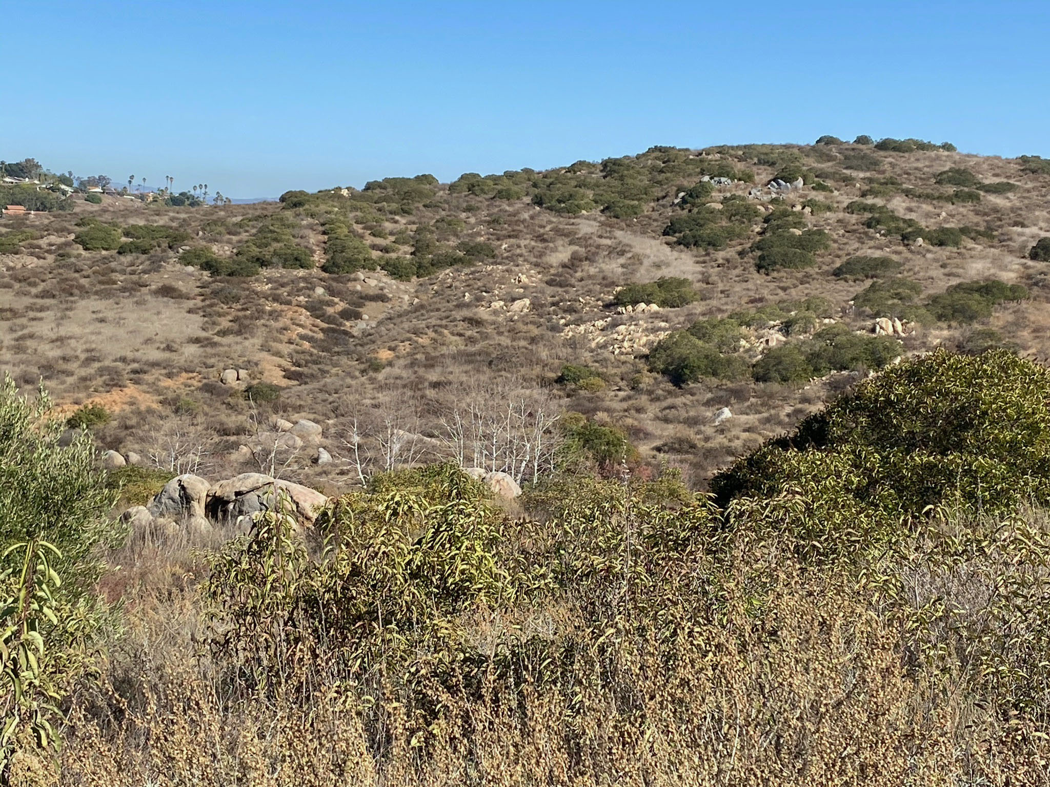
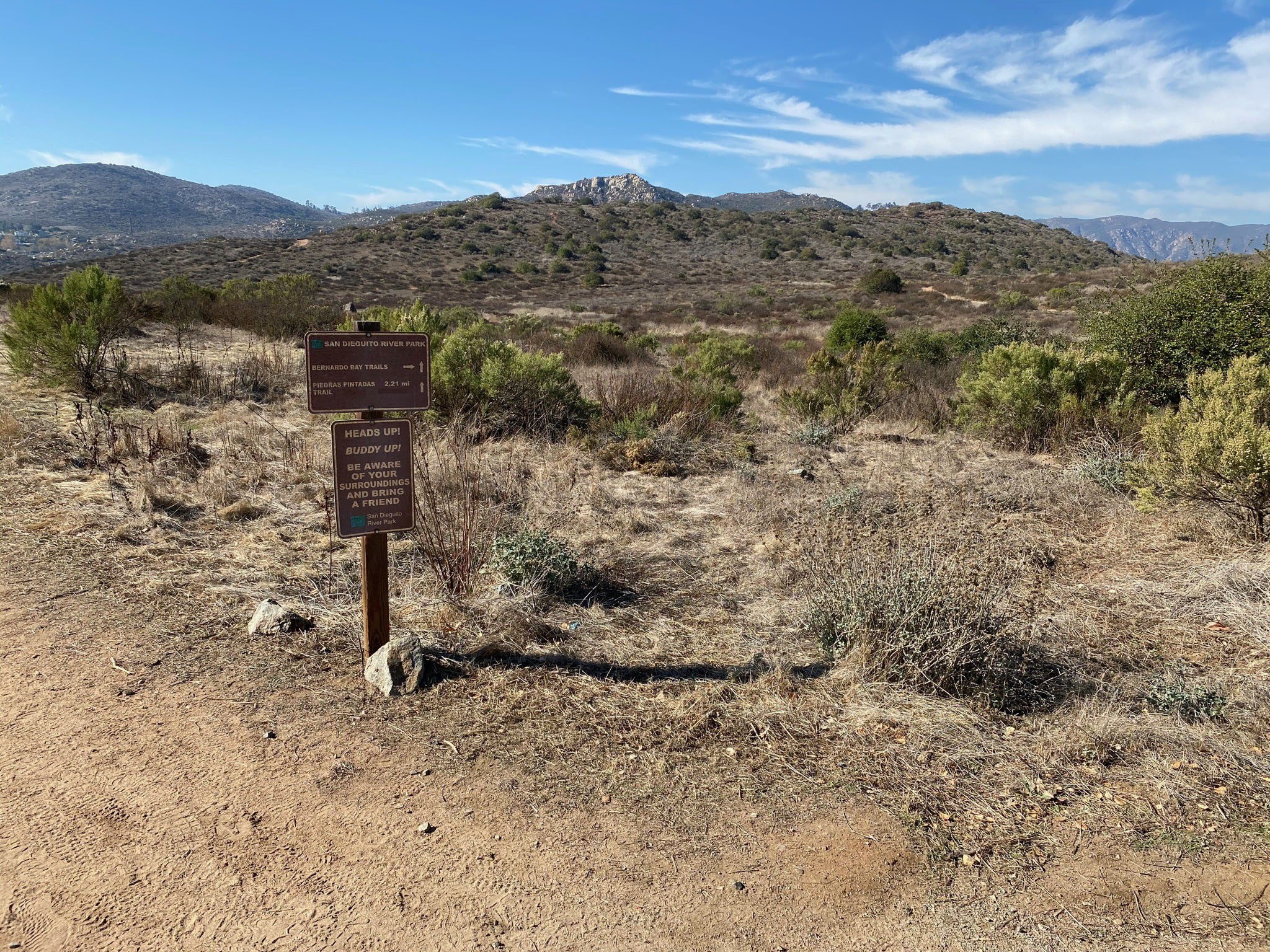
Piedras Pintadas Interpretive Trail
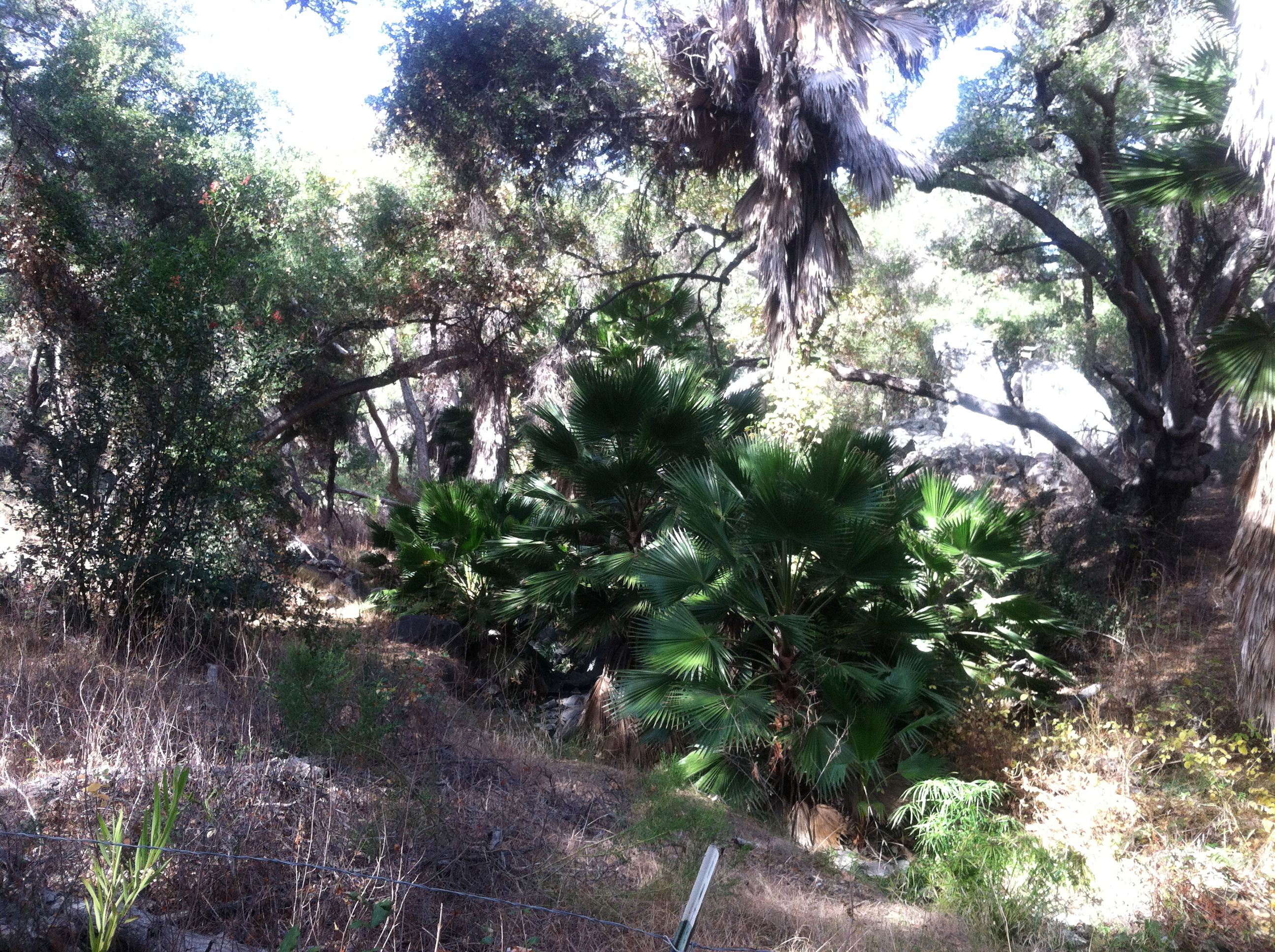
Piedras Pintadas means painted rocks. The low mesa area at the east end of Lake within the San Dieguito River Park is called Piedras Pintadas. People have migrated through the San Dieguito River Valley since the end of the last Ice Age. The latest to arrive, the Kumeyaay people, have been present in the area for at least the last 1,000 years. Their descendants live nearby and have shared in preparing numerous displays along this scenic interpretive trail. |
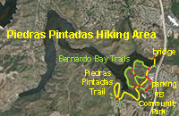 |

Fig. 115. Piedras Pintadas Interpretive Area display. |

Fig. 116. Example of Piedras Pintadas (painted rocks). |
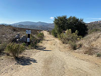
Fig. 117. Trailhead at parking area on W. Bernardo Drive |
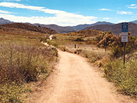
Fig. 118. Low plateau along the Piedras Pintadas Trail. |
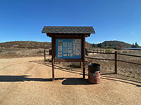
Fig. 119. Kiosk near Rancho Bernardo Community Park. |

Fig. 120. Piedras Pintadas (painted granitic rocks). |
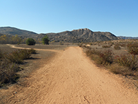
Fig. 121. Piedras Pintadas Trail goes left at trail fork. |
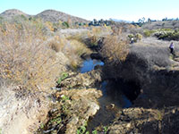
Fig. 122. Piedras Pintadas Trail and Green Valley Creek. |
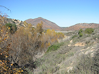
Fig. 123. Riparian habitat along Piedras Pintadas Trail. |

Fig. 124. Falls area beyond willow/sycamore forest. |
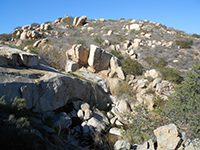
Fig. 125. Falls and granite outcrops along the trail. |
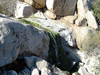
Fig. 126. Close up view of the falls during low flow. |
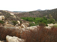
Fig. 127. View from above the falls area. |
Fig. 128. Bernardo Mountain at Piedras Pintadas viewpoint. |

Fig. 129. Bernardo Bay from Piedras Pintadas viewpoint. |
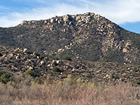
Fig. 130. Highlands above the Piedras Pintadas Trail. |
|
| Fig. 131. Panoramic view looking north toward the Piedras Pintadas highlands and Bernardo Bay on Lake Hodges. Bernardo Mountain is to the left. |
| Fig. 132. Panoramic view from near the intersection of the Piedras Pintadas Trail and the North Bernardo Bay Trail looking west toward the lake. |
B13
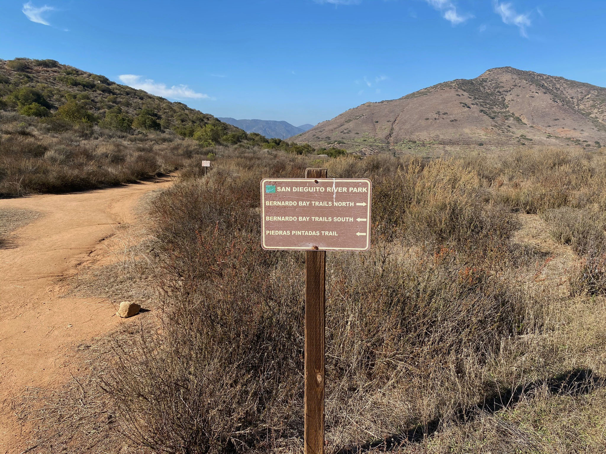
North Bernardo Bay Trail
The Piedras Pintadas area has numerous interconnecting trails. The North Bernardo Bay Trail connects to the paved bike path that runs along Bernardo Drive near Lake Hodges Bridge. The trail skirts a wetlands area before reaching the lake shoreline. This area is a prime bird-watching habitat area. There is an assortment of large granitic boulders and outcrops along the trail. Midway around the Piedras Pintadas peninsula the trail intersects and continues on as the South Bernardo Bay Trail before connecting with the Piedras Pintadas Trail. |
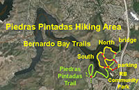 |

Fig. 133. Unpaved Bernardo Bay Trail left of bike path. |
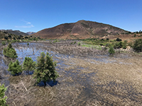
Fig. 134. East end of Lake Hodges near the footbridge. |

Fig. 135. North Bernardo Bay Trail along lake shoreline. |
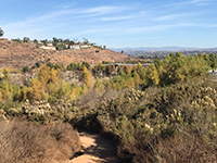
Fig. 136. The North Bernardo Bay Trail near the footbridge. |
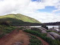
Fig. 137. North Bernardo Bay Trail along lake shoreline. |
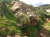
Fig. 138. Large boulder along the North Bernardo Bay Trail. |
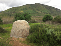
Fig. 139. Granite boulder by North Bernardo Bay Trail. |
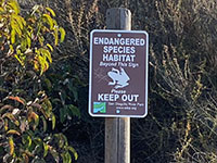
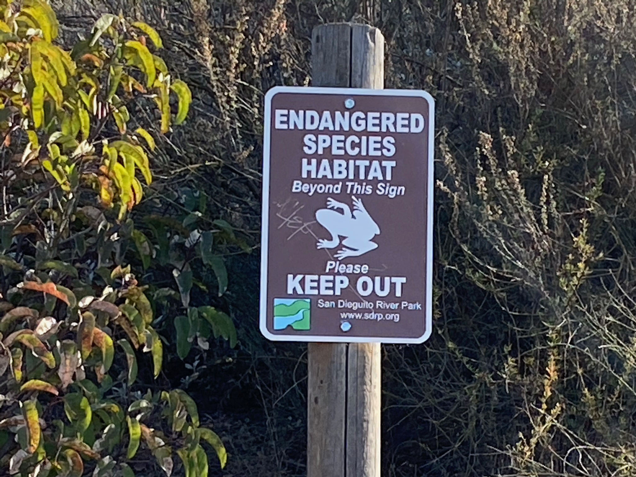
Fig. 140. Endangered species habitat keep out sign. |

Fig. 141. Massive outcrop along N. Bernardo Bay Trail. |

Fig. 142. Lichens and moss on massive rock outcrop area |
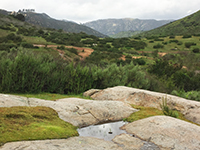
Fig. 143. Small vernal pool on massive rock outcrop area. |
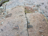
Fig. 144. Xenoliths in granitic rock outcrop area. |

Fig. 145. View looking down trail from hill along trail. |
Fig. 146. Three areas of granitic plutons on slope. |

Fig. 147. Intersection of trails on top of the mesa. |
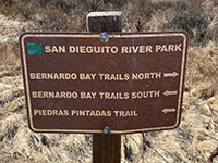
Fig. 148. Sign at the intersection of the trails. |
|
| Fig. 149. Panoramic view looking west from the Bernardo Bay Trail from the western tip of the Piedras Pintadas peninsula. Bernardo Mountain is on the right, Rancho Bernardo/South Shore Highlands are on the left. In the distance center, the Del Dios Highlands rise above the Mid Valley Mesa. |
B14
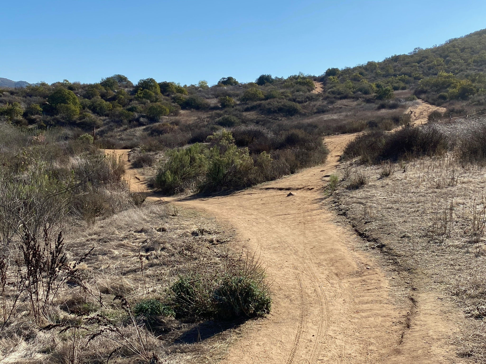
South Bernardo Bay Trail
The South Bernardo Bay Trail continues south from the intersection where the North Bernardo Trail. The trails follows the shoreline around the Piedras Pintadas mesa.
The trail is a mostly a flat open trail, and it is far enough away to have diminished interstate highway noise. There are a few rocky spots along the way. The views of the lake, Bernardo Mountain and surrounding highlands are spectacular. The trail connects with the Piedras Pintadas Trail. |
|
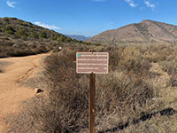
Fig. 150. North-South Trail intersection along the bay. |

Fig. 151. Bernardo Bay Trails split north (left), south (right), |
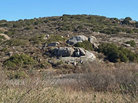
Fig. 152. Massive outcrop area north of the trail intersection. |

Fig. 153. Oaks that survived the 2007 Witch Creek Fire. |
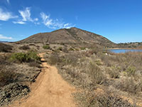
Fig. 154. South Bernardo Bay Trail near trail intersection with Bernardo Mountain. |
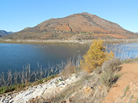
Fig. 155. South Bernardo Bay Trail with fire-scorched slopes on Bernardo Mountain. |
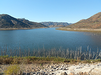
Fig. 156. Green north slope and dry south slope on opposite sides of the lake. |
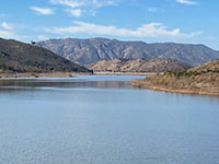
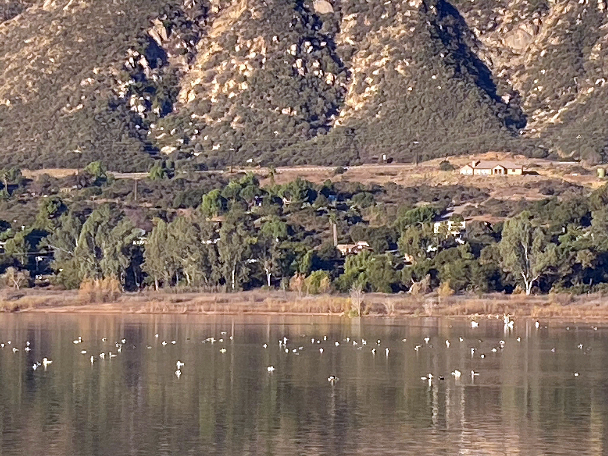
Fig. 157. Zoom view of Mid Valley Mesa and Del Dios Highlands in distance. |
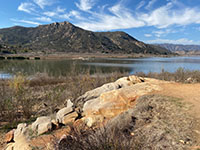
Fig. 158. Shoreline outcrop along South Bernardo Bay Trail. |

Fig. 159. View looking west at Bernardo Bay along the South Bernardo Bay Trail. |
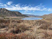
Fig. 160. View looking west at Bernardo Bay along the South Bernardo Bay Trail. |

Fig. 161. South Bernard Bay Trail near intersection with Piedras Pintadas Trail. |
|
| Fig. 162. Panoramic view near the intersections of the South Bernardo Bay Trail and the Piedras Pintadas Trails near east end of Bernardo Bay. |
B15
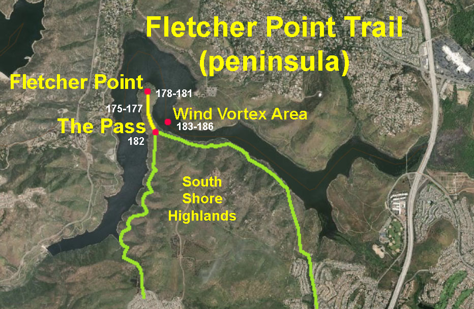
Fletcher Point Trail - East (Piedras Pintadas to The Pass on Fletcher Point)
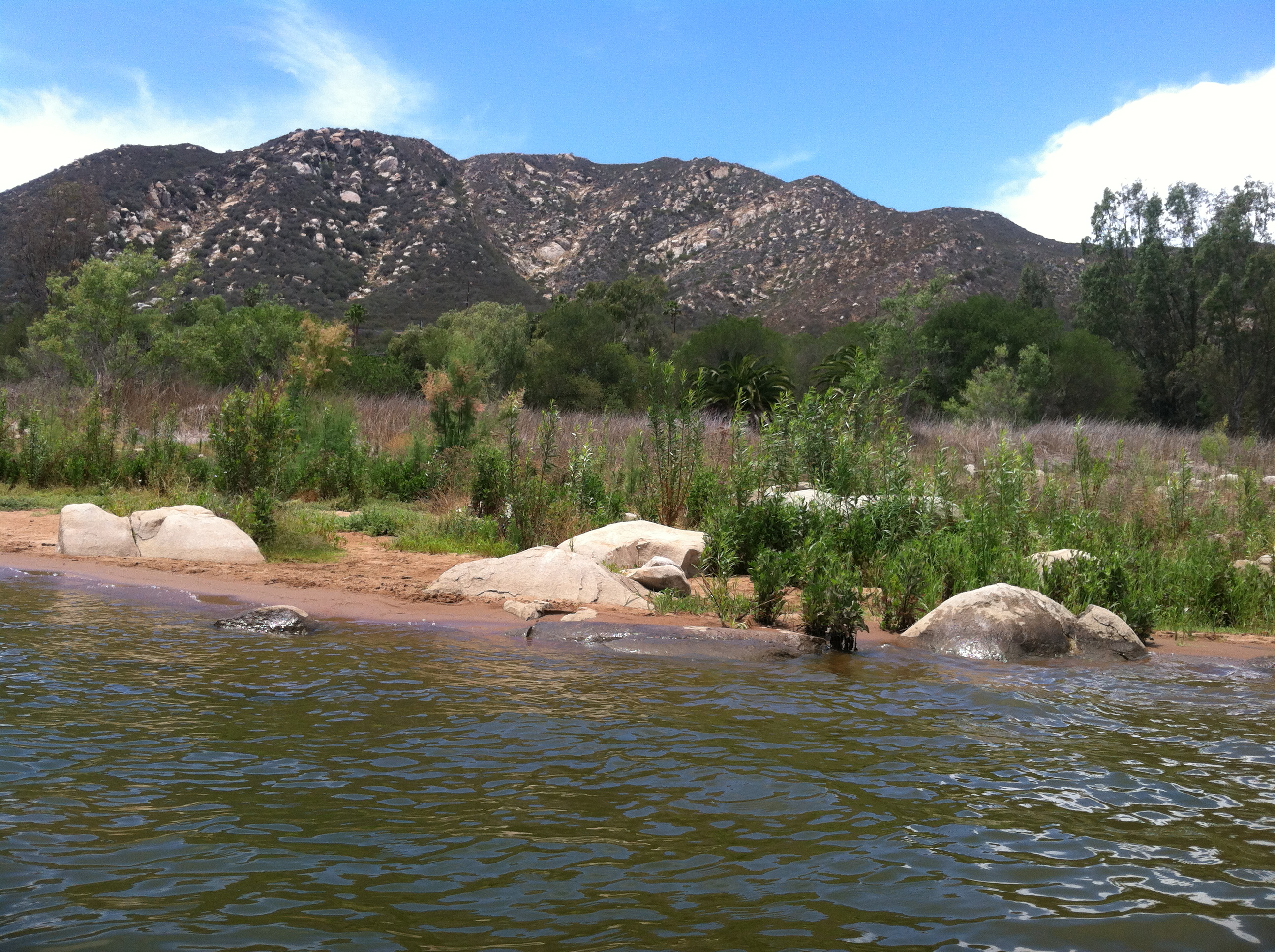
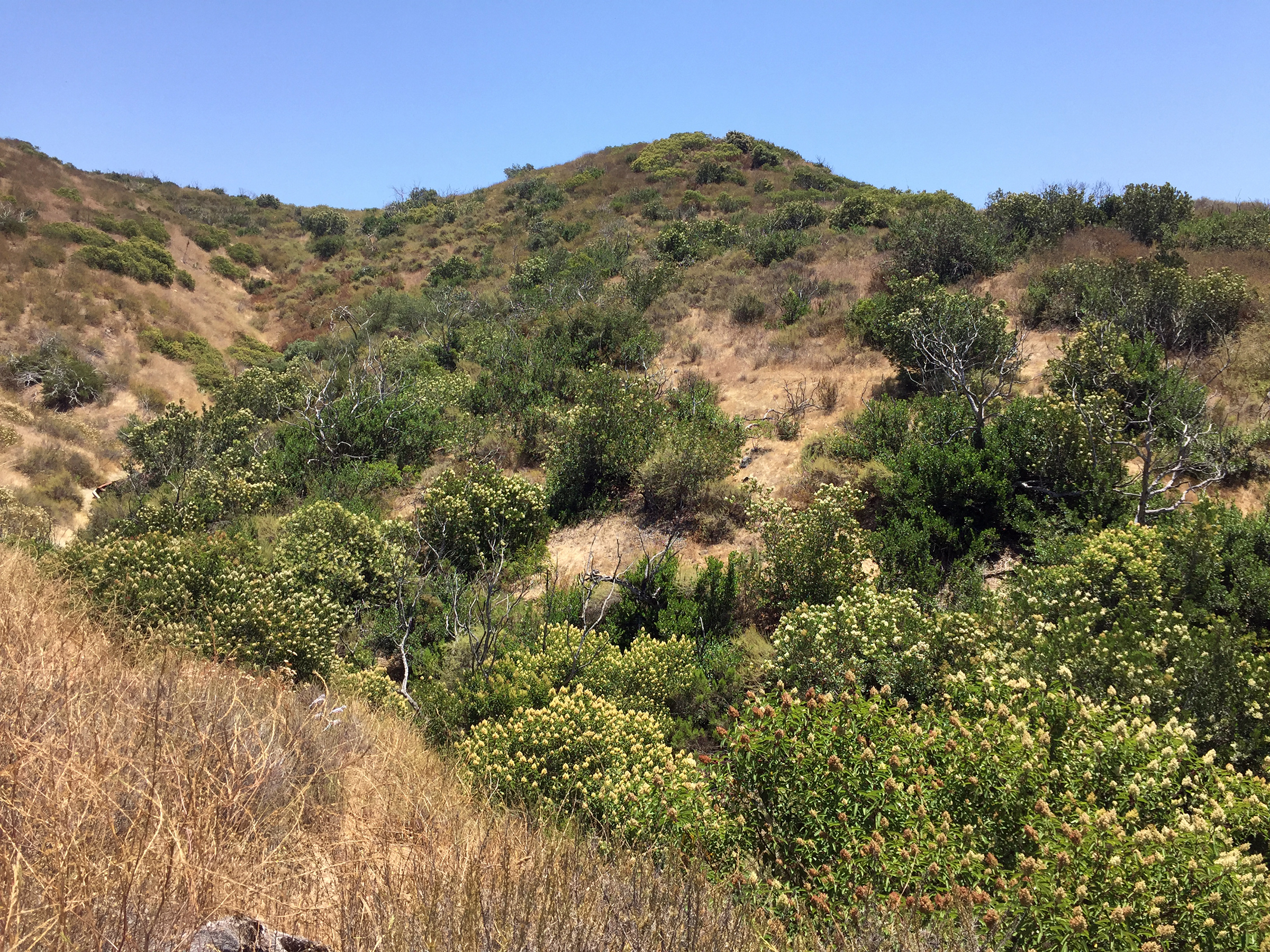
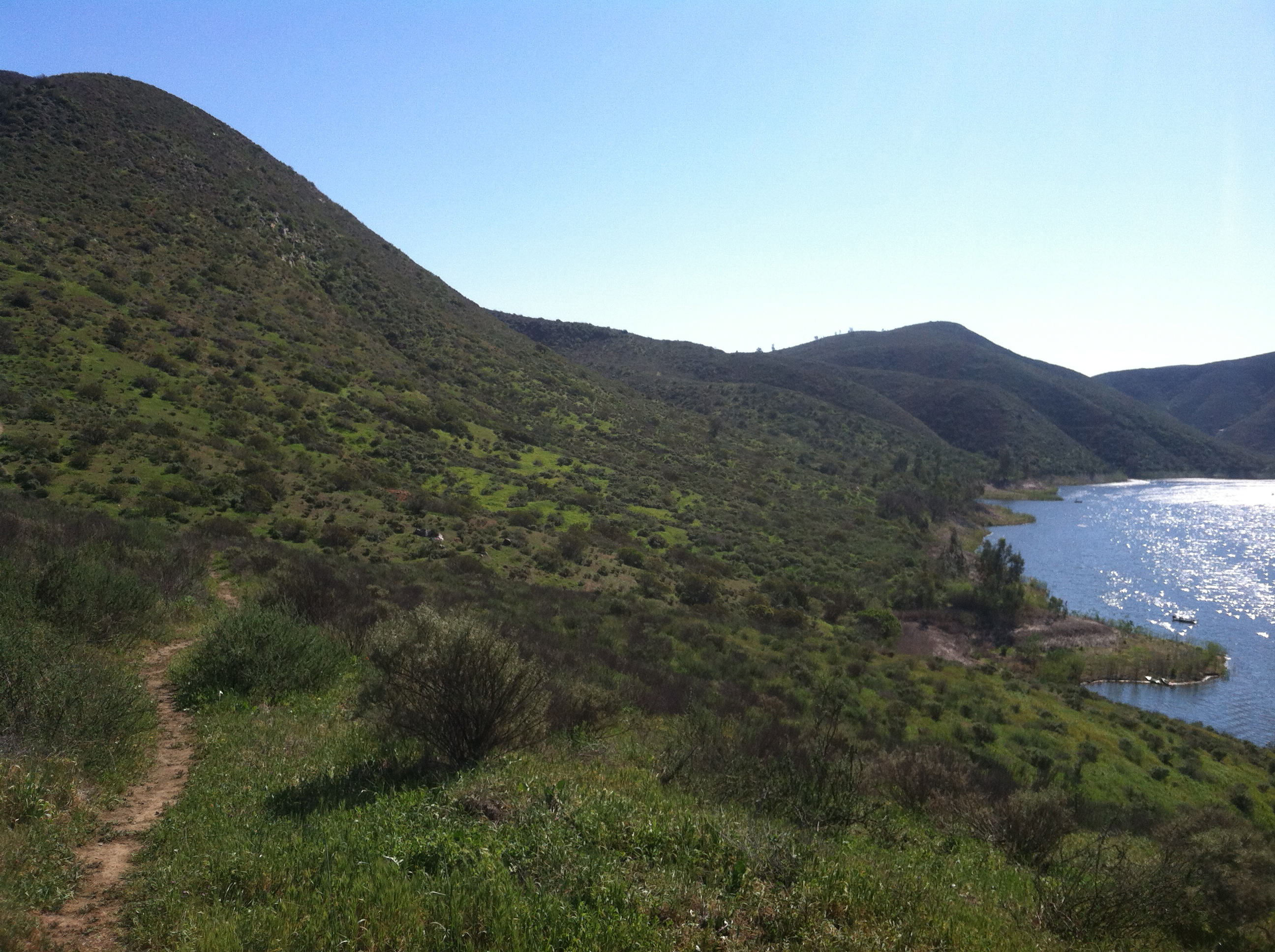
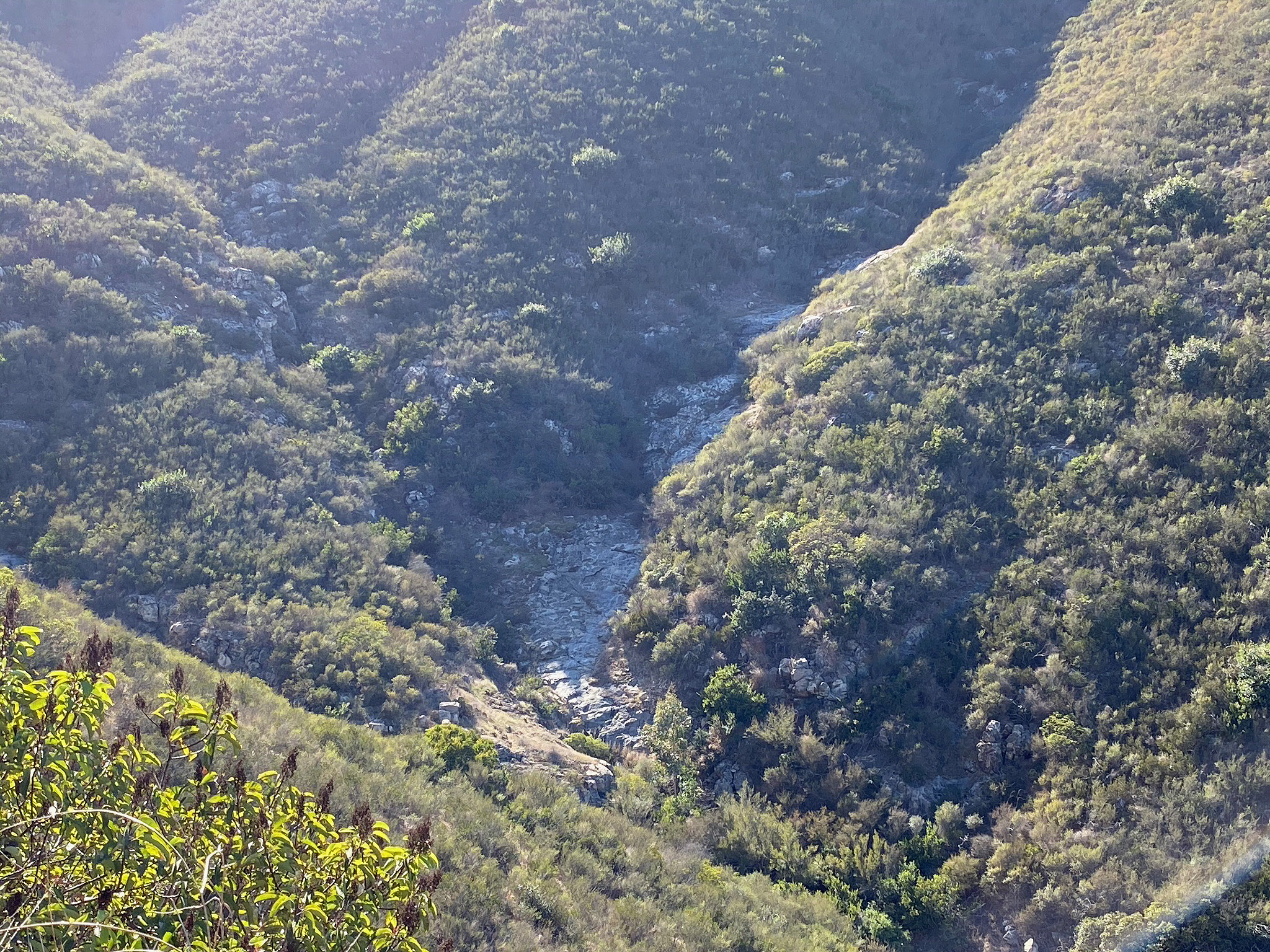
The The Fletcher Point Trail runs along the south shore of Lake Hodges connecting to Fletcher Point, a peninsula that juts into the North Bay. The trail is narrow, rugged, basically unmaintained, and located in one of the most isolated parts of the coastal mountains in northern San Diego County—perhaps that's what is makes it so wonderful! The eastern section connects with trails in the Piedras Pintadas area and provides some shoreline access. The north-facing slope provides some forested shade, but be aware of rattlesnakes, ticks, etc. The trail gets overgrown in wet seasons. |
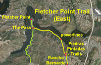 |
Fig. 163. East end of the Fletcher Point Trail. |
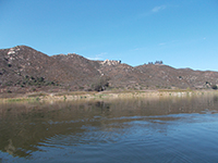
Fig. 164. Highlands above the eastern Fletcher Point Trail. |

Fig. 165. Shore access spur along the Fletcher Point Trail. |
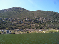
Fig. 166. Granite outcrop belt across the south shore slopes. |
Fig. 167. Granite peaks on ridge above the South Shore. |
Fig. 168. View of ravines along the South Shore. |
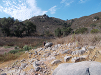
Fig. 169. Landslide deposits below ravine on South Shore. |
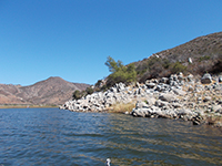
Fig. 170. Rocky bathtub ring on South Shore below the trail. |
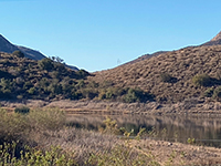
Fig. 171. View of The Pass from Mid Valley Mesa Trail. |
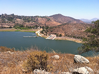
Fig. 172. View of the boat launch from The Pass area. |

Fig. 173. View looking east from the trail in The Pass area. |
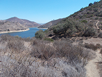
Fig. 174. Fletcher Point Trail in The Pass area. |
|
B16
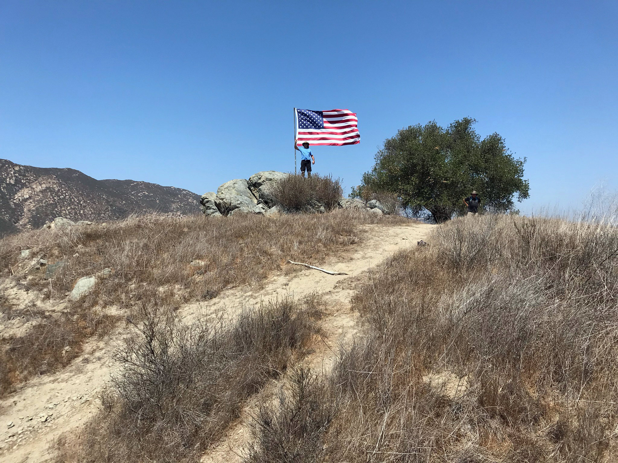
Fletcher Point Peninsula
There is no getting around the fact that it is a long, difficult hike to get to the US Flag on top of Fletcher Point, but the view from the top of the peninsula is arguably the best in the park. Just below the flag is a most unusual outcrop of blueschist, named here, the Blue Stone Chair (Figures 183 and 184). It is easy to imagine that the rock has archaeological significance in that it provides a most commanding view of what was once the resource-rich valley of the San Dieguito River. |
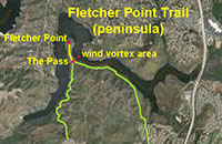 |
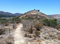
Fig. 175. Fletcher Point Trail on the peninsula. |
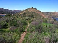
Fig. 176. Fletcher Point Trail on the peninsula. |
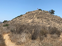
Fig. 177. Fletcher Point Trail on the peninsula. |

Fig. 178. US Flag on top of Fletcher Point. |

Fig. 179. Blue Stone Chair outcrop on Fletcher Point. |
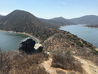
Fig. 180. Blue Stone Chair view of the peninsula. |
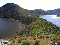
Fig. 181. Blue Stone Chair view of the peninsula. |
Fig. 182. A cove below The Pass on west side of peninsula. |
|
B17
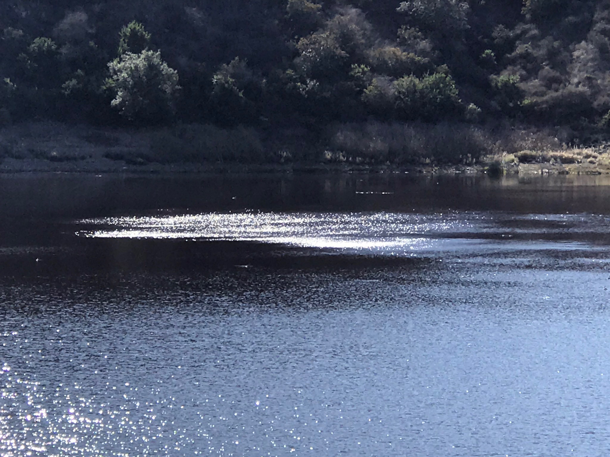
The Wind Vortex Area along the east side of The Pass on Fletcher Point
The easterly flowing sea breeze creates an unusual wind vortex area on the east side of The Pass on the Fletcher Point peninsula. During most warm, sunny days the sea breeze builds up midday. As the wind blows over the peninsula, the wind speed increases and is forced downward, most strongly in the vicinity of the low divide in the neck of the peninsula. Swirling wind vortexes create cats paw wind impact areas that visibly stand out on the surface of the water. The wind spreads out from the vortex area, pulling the surface waters away and create local upwelling currents. The local grebe bird population often gravitates to this area, perhaps for a possible increase food supply, cooler water, or they just enjoy spinning around with the changing wind and water currents in the area. |
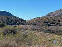
Figure 183. The Pass on Fletcher Point peninsula. |
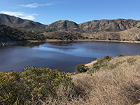
Fig. 184. View of the wind vortex area from north shore. |
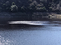
Fig. 185. Zoom view of a cats paw in the wind vortex area. |
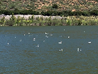
Fig. 186. Grebes gathering in the wind vortex area. |
|
B18
Fletcher Point Trail - West (The Pass on Fletcher Point to to Alva Canyon)
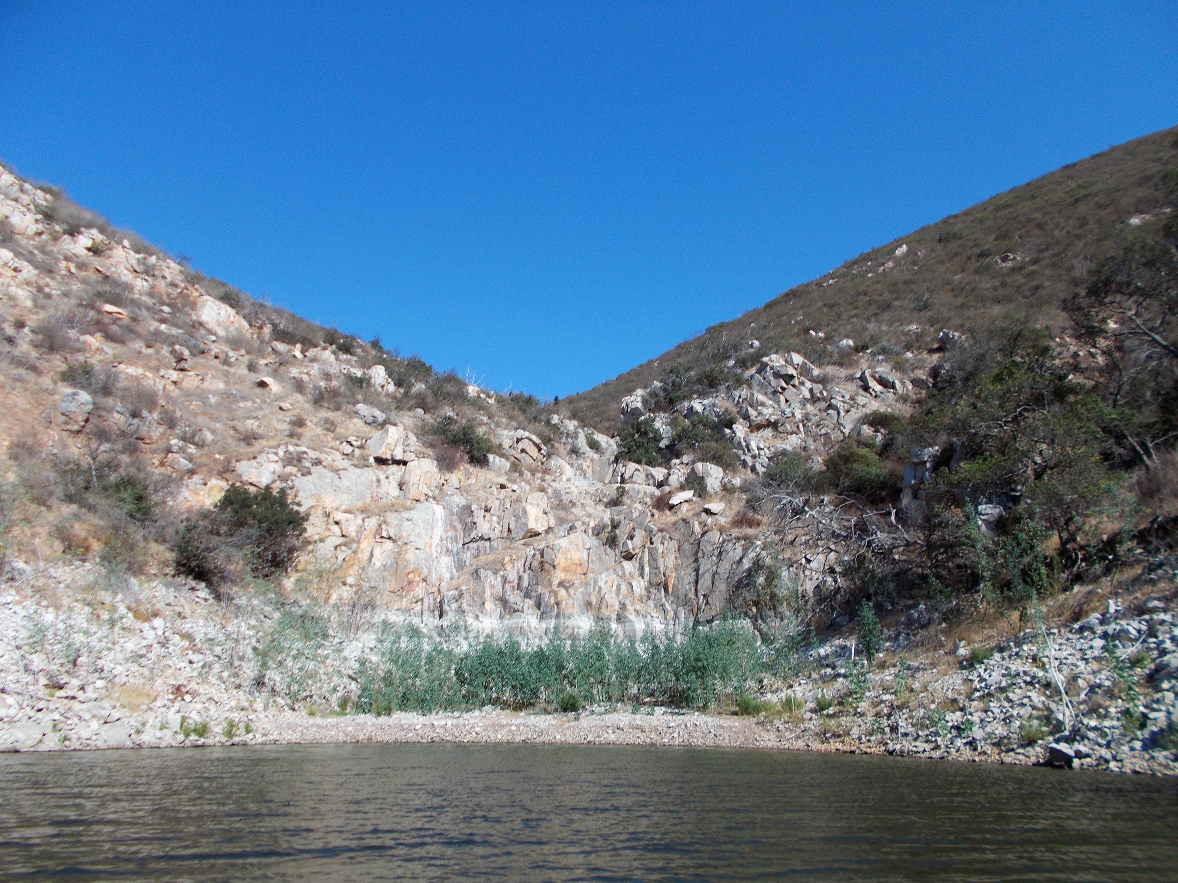
The hike starting at the west end of the Fletcher Point Trail starts off easy mile descent down Alva Canyon, but then gets increasing rocky, narrow, and strenuous, and some years is completely overgrown. However, the scenery and geology is particularly fascinating.
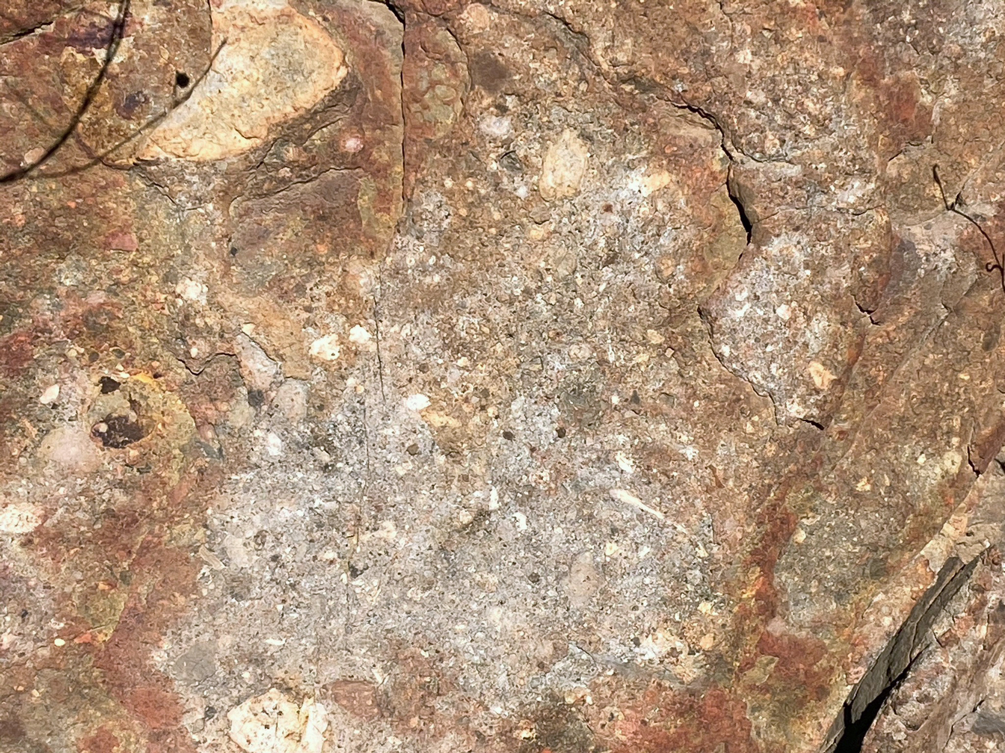
The scenery below is starting at The Pass and proceeds to the Alva Canyon near the Alva Road trailhead. Alva Canyon is carved along the margin of a large igneous pluton where unusually large xenoliths of basalt are preserved in the granitic host rock. Softer volcanic tuff is exposed on the opposite side of the canyon. |
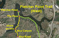 |
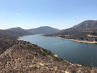
Fig. 187. Fletcher Point Trail in The Pass on the peninsula. |
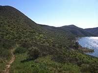
Fig. 188. Fletcher Point Trail south from The Pass. |
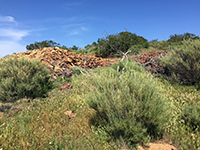
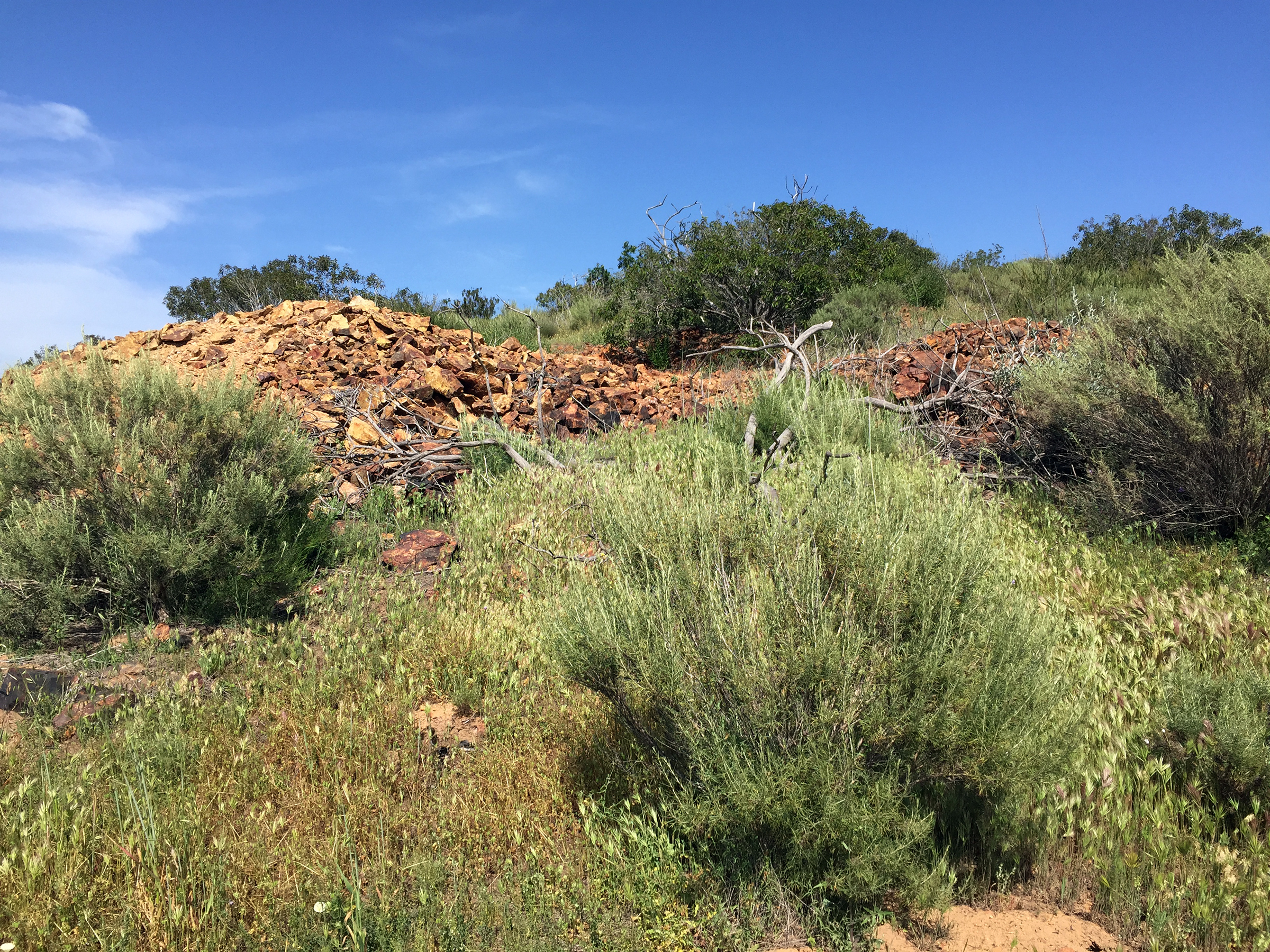
Fig. 189. Small historic mine tailing near The Pass. |
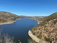
Fig. 190. View looking north from the Fletcher Point Trail. |
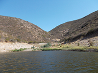
Fig. 191. Canyon along shore of the Fletcher Point Trail. |
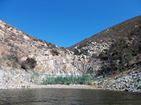
Fig. 192. Dry falls in a canyon along the Fletcher Point Trail. |
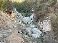
Fig. 193. Small dry falls along the Fletcher Point Trail. |
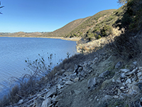
Fig. 194.Spur trail leads to the shore north of Alva Canyon. |
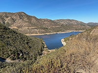
Fig. 195. View of Alva Canyon Bay from the trail. |

Fig. 196. Aeration area near mouth of Alva Canyon. |

Fig. 197. Dry falls in Alva Canyon.
|
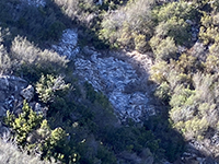
Fig. 198. Massive xenoliths in granite in Alva Canyon. |
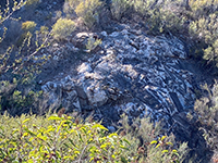
Fig. 199.Massive xenoliths in granite in Alva Canyon. |

Fig. 200. Volcanic tuff along the Alva Canyon Trail. |

Fig. 201. Forested stream area in Alva Canyon. |
Fig. 202. Fletch Point Trail in upper Alva Canyon. |
|
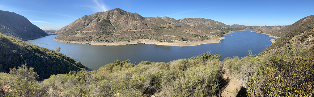
| Fig. 203. Panoramic view of the Lake Hodges from the dam to Del Dios and North Bay from a high point along the Fletcher Canyon Trail north of Alva Canyon. The Del Dios Highlands are on the opposite shore. |
B19
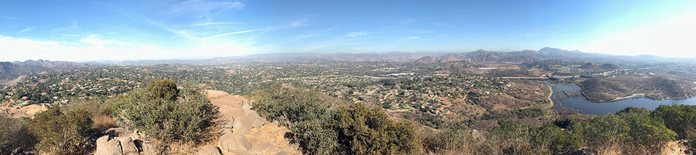
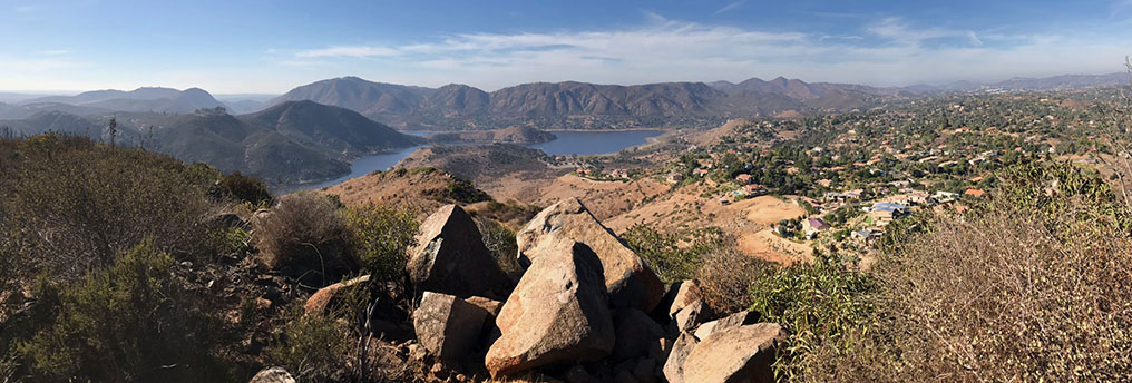
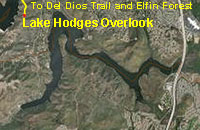
Lake Hodges Overlook in the Elfin Forest Recreational Reserve
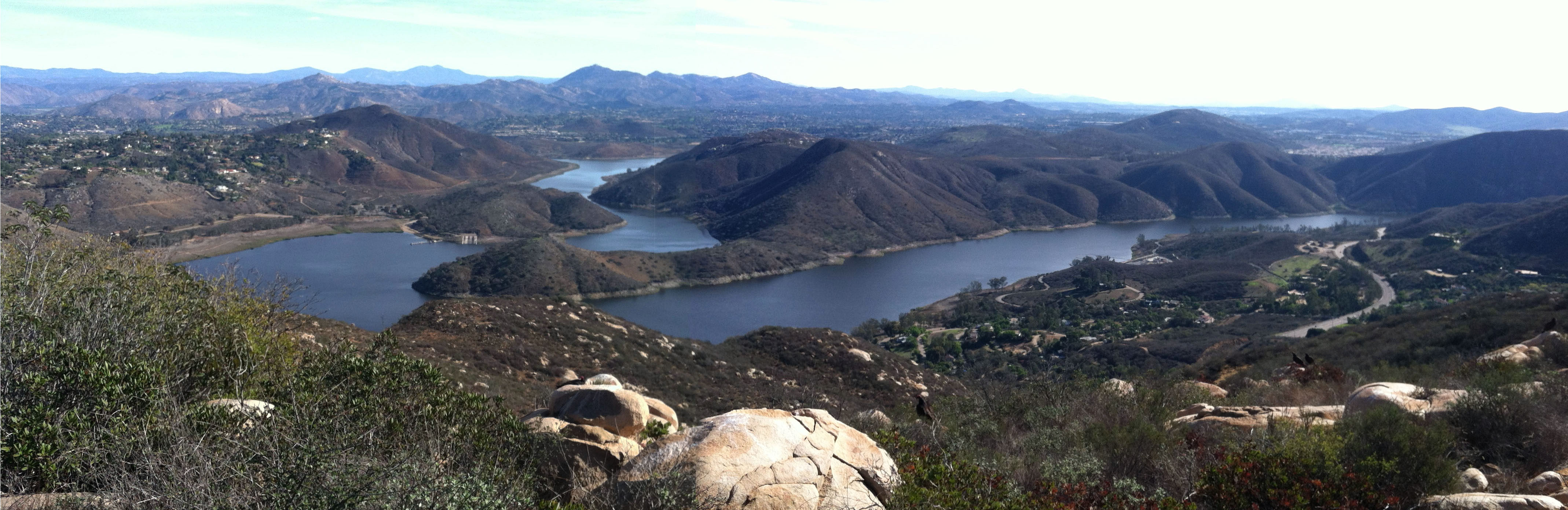
The Lake Hodge Overlook is a popular hiking destination form trails in both the Elfin Forest Recreational Reserve or the Del Dios Highlands County Preserve. Both hikes are strenuous, but the views when you reach the high final destination are spectacular. You can see most of Lake Hodges and surrounding highlands with even more distant views of the Peninsular Ranges to the Coast, even to downtown San Diego and mountains in Mexico on a clear day. |
 |

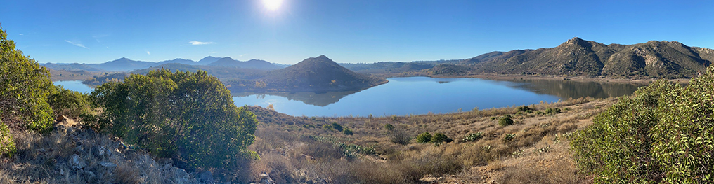
| Fig. 204. Panoramic view looking east from the Lake Hodges Overlook area in the Elfin Forest/Del Dios Highlands area. |
B20
| https://gotbooks.miracosta.edu/fieldtrips/Lake_Hodges/trails.html |
1/8/2021 |
|