
Click here to see tours of other Grand Canyon Tours.
Click on the map below to choose another park tour in the region. 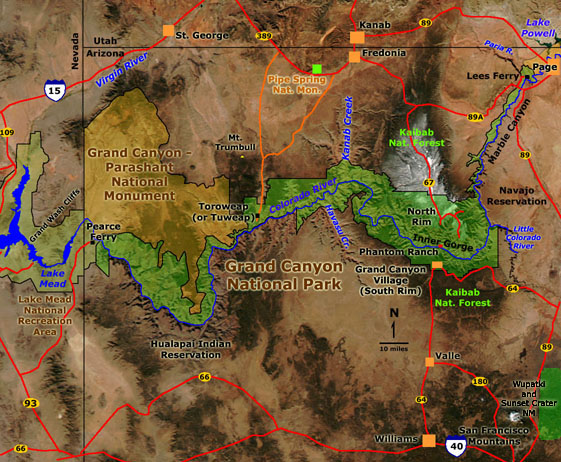
|
GRAND CANYON home North Rim South Rim Phantom Ranch Hike River Raft Trip Historic 3D Photography Glen Canyon NRA Lake Mead NRA Pipe Spring NM Sunset Crater NM Walnut Canyon NM Wupatki NM |
 |
 |
 |
 |
 |
|||||
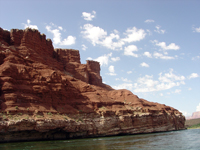
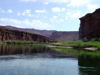
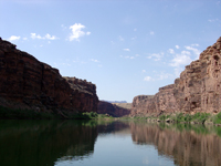
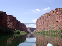
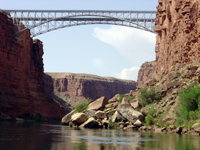
| ~ Mile 0: Contact of Moenkopi Formation and underlying Kaibab Limestone at Lees Ferry | ~ Mile 0: View up Colorado River toward lower Glen Canyon from the Lees Ferry river expedition launch site | ~ Mile 1: Still water on the Colorado River below Lees Ferry entering Marble Canyon | ~ Mile 3: Approaching Navajo Bridge over Marble Canyon and the Colorado River | ~ Mile 4: Rock fall on cliff below Navajo Bridge | |||||
 |
 |
 |
 |
 |
|||||
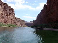
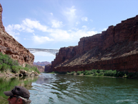
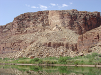
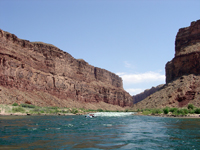
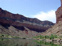
| ~ Mile 5: View looking downstream in Marble Canyon below Navajo Bridge | ~ Mile 5: View looking back upstream toward Navajo Bridge. Coconino (cliff), Toroweap (slope), and Kaibab (cliff) from bottom to top on right | ~ Mile 6: A fairly "fresh" (recent) massive rock fall from the Kaibab Limestone onto the north bank of the Colorado River | ~ Mile 8: View looking upstream at Badger Creek Rapids in Marble Canyon | ~ Mile 9: Talus ramps on the Hermit Shale (lower slope) on the south bank of the Colorado River in Marble Canyon | |||||
 |
 |
 |
 |
 |
|||||
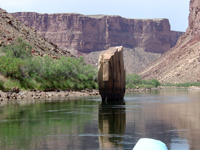
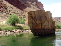
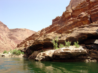
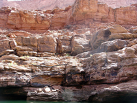
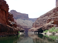
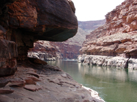
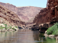
| ~ Mile 10: Ten Mile Rock, a large slab of sandstone imbedded in the Colorado River in Marble Canyon | ~ Mile 10: Ten Mile Rock, a large slab of sandstone imbedded in the Colorado River in Marble Canyon | ~ Mile 13.5: Sandstone ledges in the upper Supai Group on the north bank of the Colorado River | ~ Mile 13.5: A log left behind by a "pre-Glen Canyon Dam" flood resting on ledges of the Supai Group on the south bank of the Colorado River | ~ Mile 14: View looking downstream in Marble Canyon | |||||
 |
 |
 |
 |
 |
|||||
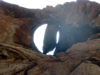
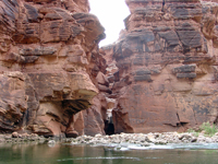
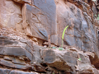
| ~ Mile 14: View looking down Marble Canyon above Sheer Wall Rapid from ledges of the Esplanade Sandstone in the Supai Group | ~ Mile 14: View looking upstream (east) at Marble Canyon. Cliffs of Supai Group (Esplanade Sandstone) are along the river | ~ Mile 14: View looking up through a pothole in a ledge of Esplanade Sandstone carved by the swirling water of the Colorado River | ~Mile 14.5: View of a slot canyon (Tanner Wash) carved in the Esplanade Sandstone on the south side of the Colorado River | ~ Mile 15: View of a blooming agave on sandstone ledges of the Wescogame Formation | |||||
 |
 |
 |
 |
 |
|||||
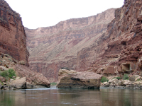
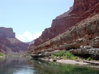
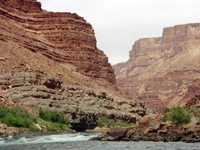
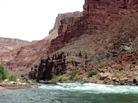
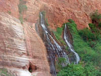
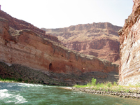
| ~ Mile 18.5: View of a great sandstone boulder in the Colorado River in Marble Canyon | ~ Mile 23: View looking downstream near where top of the Redwall Limestone first appears in Marble Canyon | ~ Mile 25.5: View looking downstream along the Colorado River from above Cave Springs Rapid | ~ Mile 25.6: View looking upstream along the Colorado River from below Cave Springs Rapid | ~ Mile 31.8: Springs issue from a cliff of Redwall Limestone at Vasey's Paradise in Marble Canyon | |||||
 |
 |
 |
 |
 |
|||||
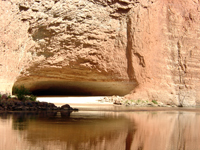
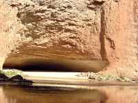
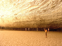
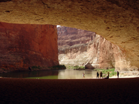
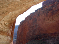
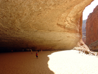
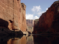
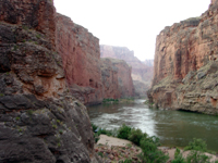
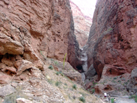
| ~ Mile 32: Upstream view of rapids on the Colorado River with cliffs of Redwall Sandstone (on the left) | ~ Mile 33: Redwall Cavern, a large natural alcove in the Redwall Limestone on the south side of the Colorado River | ~ Mile 33: Redwall Cavern, a large natural alcove in the Redwall Limestone on the south side of the Colorado River | ~ Mile 33: Redwall Cavern, a large natural alcove in the Redwall Limestone on the south side of the Colorado River | ~ Mile 33: Redwall Cavern, a large natural alcove in the Redwall Limestone on the south side of the Colorado River | |||||
 |
 |
 |
 |
 |
|||||
| ~ Mile 33: Redwall Cavern, a large natural alcove in the Redwall Limestone on the south side of the Colorado River | ~ Mile 33: Redwall Cavern, a large natural alcove in the Redwall Limestone on the south side of the Colorado River | ~ Mile 34: Stillwater and cliffs of Redwall Limestone in Marble Canyon | ~ Mile 34.5: View of Marble Canyon from near the mouth of Nautiloid Canyon | ~ Mile 34.5: Chasm and dry falls near the mouth of Nautiloid Canyon | |||||
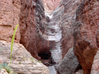 |
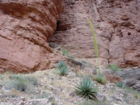 |
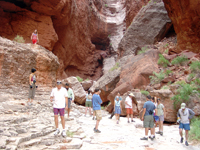 |
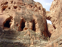 |
 |
|||||
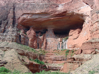
| ~ Mile 34.5: Chasm and dry falls near the mouth of Nautiloid Canyon. An agave bloom is on the left | ~Mile 34.5: Agave plants at Nautiloid Canyon | ~Mile 34.5: Canyon adventures looking at fossils in the Redwall Limestone at Nautiloid Canyon | ~ Mile 35.7: The "Bridge of Sighs" and three large alcoves in the Redwall Limestone on the north side of the Colorado River in Marble Canyon | ~ Mile 41.7: "Royal Arches" are cavernous alcoves with seeps in Redwall Limestone along the north side of the Colorado River in Marble Canyon | |||||
 |
 |
 |
 |
 |
|||||
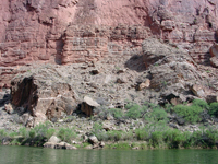
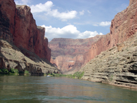
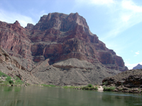
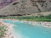
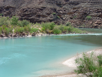
| ~ Mile 42.5: Large slumped blocks of Temple Butte Limestone rest on the south bank of the Colorado River. Mesquite grows along the pre-dam flood line | ~ Mile 45: View looking downstream in Marble Canyon. Grayish ledges of Temple Butte and Muav Limestone crop out along the Colorado River | ~ Mile 61: View looking downstream toward the mouth of the Little Colorado River canyon (on left). The river confluence defines the boundary between Marble Canyon (upstream) and the Grand Canyon (downstream) | ~ Mile 61.5: The Little Colorado River is colored blue by a high concentration of dissolved mineral material. It turns a dirty reddish brown from suspended sediments during floods | ~ Mile 61.5: Warm blue water of the Little Colorado River mixes with the cold green water of the Colorado River at the confluence | |||||
 |
 |
 |
 |
 |
|||||
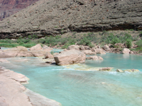
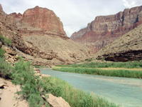
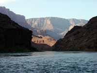
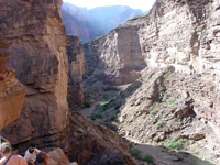
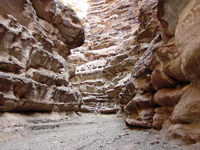
| ~ Mile 61.5: Large boulders in the Little Colorado River reveal the powerful forces associated with floods | ~ Mile 61.5: View upstream in the lower Little Colorado River canyon near the confluence with the Colorado River | ~ Mile 64.5: View downstream from near the mouth of Carbon Canyon. Morning light shines on the South Rim in the vicinity of the Desert View Watchtower | ~ Mile 64.5: Lower Carbon Canyon | ~ Mile 64.5: Narrows in lower Carbon Canyon | |||||
 |
 |
 |
 |
 |
|||||
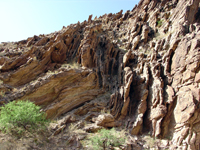
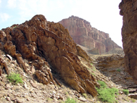
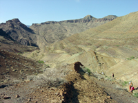
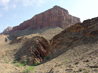
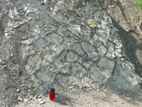
| ~ Mile 64.5: Folded Precambrian-age sedimentary strata about 1.5 miles upstream along Carbon Canyon | ~ Mile 64.5: Folded Precambrian-age sedimentary strata about 1.5 miles upstream along Carbon Canyon | ~Mile 65.5: View of sedimentary rocks of the Dox Sandstone of Precambrian age in upper Lava Creek drainage (about a mile south of the Colorado River) | ~Mile 65.5: View of cliffs of Precambrian-age Cardenas Basalt (above) over sedimentary beds of the Dox Sandstone in the Lava Creek drainage (about a half mile south of the Colorado River) | ~Mile 65.5: Desiccation cracks preserved in Precambrian-age sedimentary beds of the Dox Sandstone in the Lava Creek drainage (about a half mile south of the Colorado River) | |||||
 |
 |
 |
 |
 |
|||||
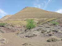
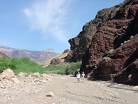
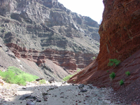
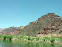
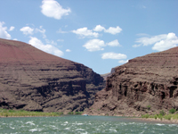
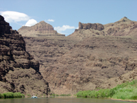
| ~Mile 65.5: Barren hills of sedimentary beds of the Precambrian-age Chuar Group in the Lava Creek Drainage | ~Mile 65.5: Dark red Precambrian-age Dox Sandstone crops out near the mouth of Lava Creek | ~Mile 65.5: The confluence of Lava Creek and the Colorado River. Dox Sandstone (red) and Cardenas Basalt (gray) crop out on the south side of the river | ~ Mile 68: Dark cliffs formed on exposed face of a Precambrian-age volcanic sill (consisting of diabase); Dox Sandstone is below the sill, and Nankoweap Formation is above the sill | ~ Mile74: View looking downstream at Nevills Rapid at cliffs of inclined sedimentary beds of the Precambrian-age Shinumo Quartzite | |||||
 |
 |
 |
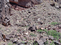 |
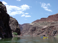 |
|||||
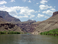
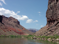
| ~ Mile74.5: View looking upstream at cliffs of inclined sedimentary beds of the Precambrian-age Shinumo Quartzite | ~ Mile 75: Rising cliffs of sedimentary rocks of the Precambrian Grand Canyon Series near the mouth of Papago Creek | ~ Mile 76: Downstream view of red slopes consisting of the Hakatai Shale overlain by cliff exposures of Shinumo Quartzite | ~ Mile 77: A desert bighorn sheep stands on blocks of Bass Limestone along the banks of the Colorado River | ~ Mile 78.5: The Colorado River enters the inner Granite Gorge of the Grand Canyon | |||||
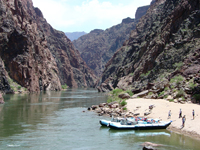 |
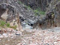 |
 |
 |
 |
|||||
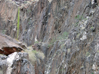
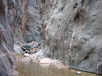
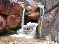
| ~ Mile 81.5: A Colorado raft trip stops at a small sandy beach near the mouth of Grapevine Creek in the upper Granite Gorge | ~ Mile 84: The mouth of Clear Creek canyon where it meets the Colorado River in the Granite Gorge | ~ Mile 84: A blooming agave grows on an outcrop Vishnu Schist along Clear Creek | ~ Mile 84: The narrow gorge of Clear Creek is cut into the Precambrian Vishnu Schist | ~ Mile 84: A short hike of Clear Creek canyon leads to a waterfall that has a horizontal splash zone | |||||
 |
Click here to take a "detour" to the Phantom Ranch, and the Kaibab and Bright Angel Trails (between river miles ~87-89) | 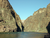 |
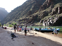 |
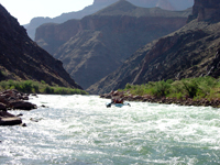 |
|||||
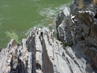
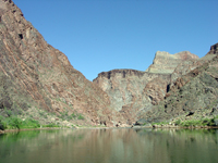
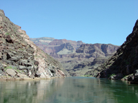
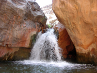
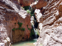
| ~ Mile 84: Erosion by the Colorado River carved these smooth and irregular shaped surfaces of the Vishnu Schist near the mouth of Clear Creek | ~ Mile 90: View looking downstream in the Granite Gorge in the vicinity of Corn Creek Rapid | ~ Mile 91.5: A raft crew sets up evening camp on a sand bar near the mouth of Trinity Creek | ~ Mile 95: A raft running Hermit Rapid in the Granite Gorge | ||||||
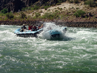 |
 |
 |
 |
 |
|||||
| ~ Mile 95: A raft slashing through the waves on Hermit Rapid | ~ Mile 99: Approaching Tuna Creek Rapid in the Granite Gorge | ~ Mile 106.5: Approaching the western end of the Granite Gorge | ~ Mile 108.5: Falls along Shinomo Creek near the Colorado River | ~ Mile 116.5: Elves Chasm in Royal Arch Creek canyon | |||||
 |
 |
 |
 |
 |
|||||
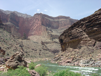
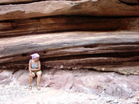
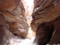
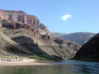
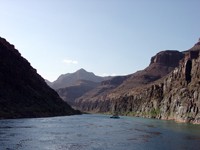
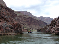
| ~ Mile 116.5: View looking downstream from the Elves Chasm area toward cliffs in the Tapeats Sandstone (on the right) | ~ Mile 120: The Great Unconformity is well exposed along lower Blacktail Canyon | ~ Mile 120: View of the narrow slot of lower Blacktail Canyon and the Great Unconformity (between the Precambrian Vishnu Schist and the overlying Cambrian Tapeats Sandstone | ~ Mile 133: View looking upstream in the vicinity below Mile 133 Rapid | ~ Mile 133.5: View downstream of a large Precambrian-age (Middle Proterozoic) volcanic sill exposed along the north bank of the river | |||||
 |
 |
 |
 |
 |
|||||
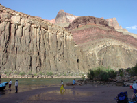
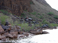
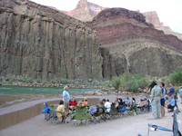
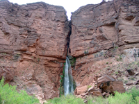
| ~ Mile 133.5: Late afternoon sun shines on cliffs consisting of a large Precambrian-age volcanic sill below red Hakatai Shale exposed along the north bank of the river | ~ Mile 133.5: A Bighorn Sheep ram along the Colorado River | ~ Mile 133.5: An evening biology lecture in the "tidal zone" along the Colorado River | ~ Mile 135: A raft enters the Granite Narrows at the head of the Little Granite Gorge | ~ Mile 136.5: Deer Creek Falls cascade from the Tapeats Sandstone | |||||
 |
 |
 |
 |
 |
|||||
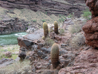
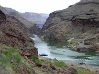
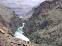
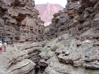
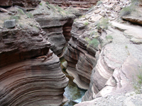
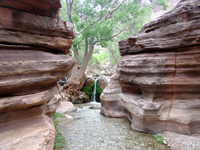
| ~ Mile 136.5: Barrel Cactus along the Deer Creek Trail | ~ Mile 136.5: View looking upriver toward the Little Granite Gorge from along the Deer Creek Trail | ~ Mile 136.5: Zoomed-in view looking upriver toward the Little Granite Gorge from along the Deer Creek Trail | ~ Mile 136.5: Looking up the chasm in the Tapeats Sandstone along the Deer Creek Trail | ~ Mile 136.5: Looking into the chasm carved into the Tapeats Sandstone along Deer Creek | |||||
 |
 |
 |
 |
 |
|||||
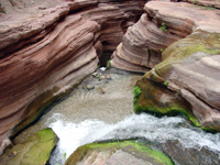
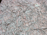
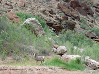
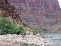
| ~ Mile 136.5: A small waterfall near the head of the chasm along Deer Creek | ~ Mile 136.5: Looking down over al waterfall near the head of the chasm along Deer Creek | ~ Mile 136.5: Fossil worm burrows in Cambrian age sediments in the Tapeats Sandstone | ~ Mile 140: A Bighorn Sheep along the bank of the Colorado River | ~ Mile 140: A Bighorn Sheep on a gravel bar along the Colorado River | |||||
 |
 |
 |
 |
 |
|||||
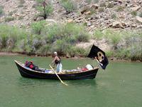
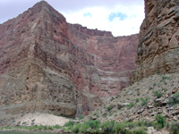
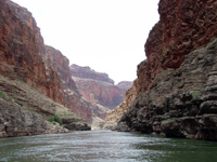
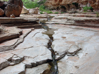
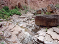
| ~ Mile 142: Pirate in the Grand Canyon | ~ Mile 143.5: The mouth of Kanab Creek Canyon on the north side of the Colorado River | ~ Mile 147: Looking downstream along the Colorado River | ~ Mile 148: Stream-polished Cambrian-age limestone ledges in Matkatamiba Canyon | ~ Mile 148: Matkatamiba Canyon | |||||
 |
 |
 |
 |
 |
|||||
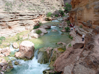
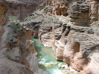
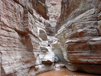
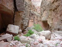
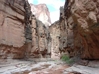
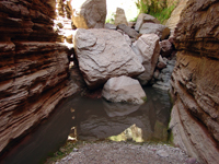
| ~ Mile 156.5: Havasu Creek near the confluence with the Colorado River | ~ Mile 156.5: Havasu Creek gorge near the confluence with the Colorado River | ~ Mile 165.3: Narrows, pools, and falls in National Canyon | ~ Mile 165.3: Boulders in the streambed in National Canyon | ~ Mile 165.3: The narrow gorge of lower National Canyon | |||||
 |
 |
 |
 |
 |
|||||
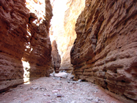
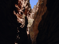
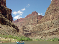
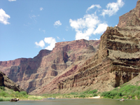
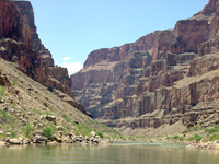
| ~ Mile 168: The narrow gorge of Fern Glen Canyon | ~ Mile 168: The narrow gorge of Fern Glen Canyon | ~ Mile 168: A pool and boulder jam in Fern Glen Canyon | ~ Mile 174: View looking downstream in the vicinity of Cove Canyon, a tributary on the north side of the river (right) | ~ Mile 174.5: View looking downstream at Cove Canyon toward the Red Slide and Toroweap Overlook area | |||||
 |
 |
 |
 |
 |
|||||
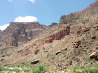
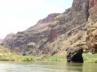
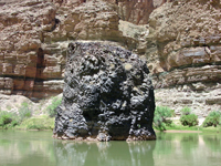
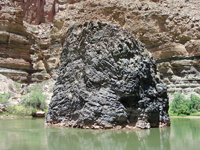
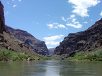
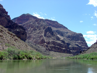
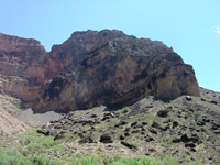
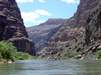
| ~ Mile 175: The Red Slide, a massive "young" landslide in Quaternary alluvium on the north side of the river near Toroweap | ~ Mile 176: Looking down river at the massive cliffs below the Toroweap Overlook | ~ Mile 177.8: Approaching Vulcan's Anvil below the Toroweap Overlook area | ~ Mile 178: Vulcan's Anvil is thought to be a remnant of a basaltic volcanic plug or stock of latest Tertiary to Quaternary age | ~ Mile 178: Vulcan's Anvil is the first visible indication of volcanic activity see along the river for about the next 75 miles | |||||
 |
 |
 |
 |
 |
|||||
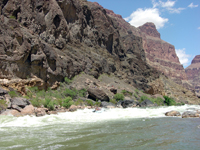
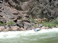
| ~ Mile 178.5: Looking downstream at remnants of massive volcanic flows that poured into the Grand Canyon in Quaternary time | ~ Mile 178.8: A volcanic cinder cone sits on the edge of the rim on the south side of the canyon | ~ Mile 179: Remnant of a large volcanic stock juts out from the south side of the Grand Canyon | ~ Mile 179: Looking dow river toward Lava Falls Rapid with lava flows cascades from the north side of the canyon in the distance | ~ Mile 179.5: A raft entering Lava Falls Rapid, one of the largest rapids in the Grand Canyon | |||||
 |
 |
 |
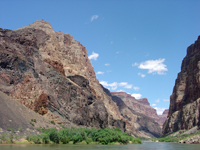 |
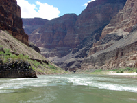 |
|||||
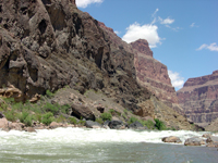
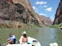
| ~ Mile 179.5: A raft in Lava Falls Rapid | ~ Mile 179.5: looking up river from below Lava Falls Rapid | ~ Mile 182: Classic view of Colorado River boatmen in action | ~ Mile 182: Basalt flows and Paleozoic rocks in the Grand Canyon | ~ Mile 185: Small rapids with lava flows along-side and flowing-into the Grand Canyon | |||||
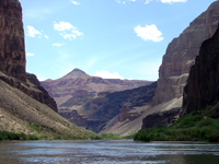 |
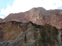 |
 |
 |
 |
|||||
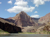
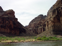
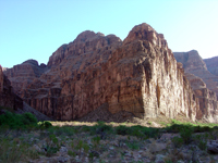
| ~ Mile 186.5: View downstream toward cliffs of Paleozoic rocks, lava flows, and a cinder cone on the north rim of the canyon | ~ Mile 186.5: Looking up at a basalt flow and the cliff of the Redwall Limestone on the north side of the canyon | ~ Mile 188: Lava flows near Whitmore Wash | ~ Mile 198.5: The confluence of Parashant Wash | ~ Mile 198.5: The mouth of Parashant Wash in morning light | |||||
 |
 |
 |
 |
 |
|||||
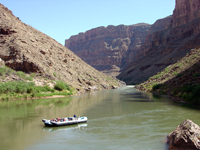
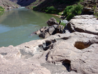
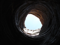
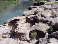
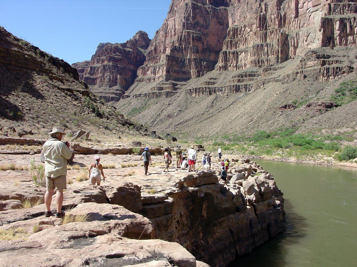
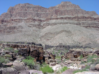
| ~ Mile 212: View looking up river below Fall Canyon | ~ Mile 212.5: potholes in the Tapeats Sandstone along the Colorado River | ~ Mile 212.5: Looking up through toward the entrance to a large pothole in the Tapeats Sandstone | ~ Mile 212.5: potholes in the Tapeats Sandstone along the Colorado River | ~ Mile 212.6: Exploring potholes in the Tapeats Sandstone along the Colorado River | |||||
 |
 |
 |
 |
 |
|||||
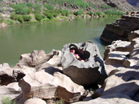
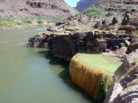
| ~ Mile 212.7: A person sitting in a ppotholes in the Tapeats Sandstone along the Colorado River | ~ Mile 212.7: potholes in the Tapeats Sandstone along the Colorado River | ~ Mile 213: Pumpkin Spring, a travertine terrace along the south shore of the Colorado River | ~ Mile 214: Basalt flows near the mouth of 214 Mile Canyon | ~ Mile 215.5: View looking north from Three Springs Canyon (side side of the Colorado River) toward cliffs, alluvial cones, and basalt flows on the north side of the river |
Click here to see more geology tours of National Parks. |
| Click here to learn more about Grand Canyon National Park (National Park Service website: http://www.nps.gov/grca). Click here to see historic 3D photography taken by the John Wesley Powell Survey of 1871-72. Click here to learn about the USGS mapping expedition of 1923 through the Grand Canyon. Click here to learn more about sedimentary rock formations exposed in the Grand Canyon. Click here to see selected references. USGS Geologic maps of the Grand Canyon include: Billingsley, G. H., 2000, Geologic Map of the Grand Canyon 30' by 60' Quadrangle, Coconino and Mohave Counties, Northwestern Arizona: U.S. Geological Survey Geologic Investigation Series I-2688. Available on-line at: http://pubs.usgs.gov/imap/i-2688/. Billingsley, G. H. and Wellmeyer, J. L., 2004, Geologic Map of the Mount Trumbull 30' x 60' Quadrangle, Mohave and Coconino Counties, Northwestern Arizona: U.S. Geological Survey Geologic Investigation Series I-2766. Available on-line at: http://pubs.usgs.gov/imap/i-2766/. |
 |
This website contains images produced from stereo photo pairs that were manipulated into anaglyphs (3-D images). You will need red-and-cyan stereo viewing glasses to get the 3-D visual effects. |