Click here to start a 3-D
tour of the park. Click on each image to see a series of pictures and discussion.
Click here to see a thumbnail gallery.
|
|
|
Map of Grand Staircase-Escalante National Monument. Click on the "Next Image" (below) to continue on the image tour, or click on any of the small red dots on the map above to go directly to selected images. |
 |
 |
 |
||
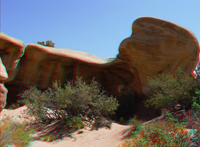
| Calf Creek | Calf Creek | Navajo Sandstone slickrock | ||
 |
 |
 |
||
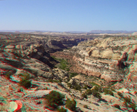
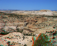
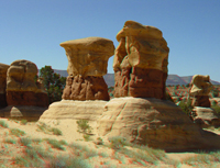
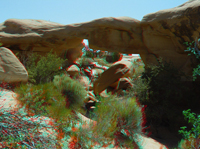
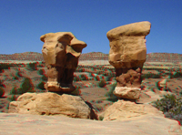
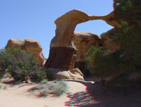
| Devils Garden | Devils Garden | Devils Garden | ||
 |
 |
 |
||
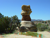
| Devils Garden | Devils Garden | Devils Garden | ||
 |
 |
 |
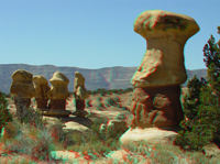
||
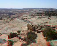
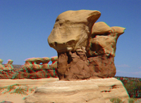
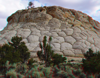
| Devils Garden | Devils Garden | Polygonal joints & weathering | ||
 |
Also see images of the Escalante River region from the Thompson Expedition of 1872. | |||
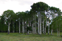
| Aspen trees on Boulder Mtn. | ||||
|
Click here to see 3D photography from the Powell Survey (1872-3) of the Escalante Canyons region. Check out the Bureau of Land Management's Grand Staircase-Escalante National Monument site - http://www.ut.blm.gov/monument/ Click here to see information about park stratigraphy and historic geologic reports. This website is an image tour of Grand Staircase-Escalante National Monument. All pictures were taken in early June 2003. |
 |
A search on the World Wide Web will yield many sites about anaglyphs and where to get 3-D glasses. |
| This page is <https://gotbooks.miracosta.edu/gonp/escalante/> Last modified Mon 1/6/2011 |