
|
Click here to start a tour of Columbia River Gorge National Scenic Area. Click on any of the images to continue to the next page in the linked series of web pages. Or, see a thumbnail gallery. Featured with this page are a collection of images of the Columbia River Plateau in central Washington including the Grand Coulee and Columbia River Gorge in that region. |
|
|
 |
 |
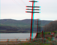 |
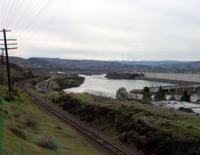
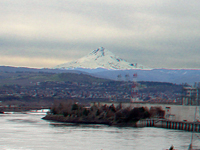
| The Dalles Dam | Mount Hood, Oregon | Columbia River Gorge |
 |
 |
 |
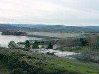
| The Dalles Dam | Mayer State Park, Oregon | Mayer State Park, Oregon |
 |
||
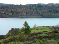
| View looking north across the Columbia River from Mayer State Park, Oregon | ||
 |
 |
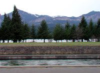 |
| Memaloose State Park | Union Pacific Railroad | Cascades Lock |
 |
 |
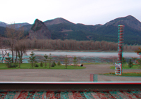 |
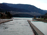
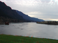
| Bridge of the Gods | Columbia River Gorge | Beacon Rock (Washington) |
 |
 |
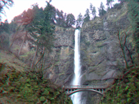 |
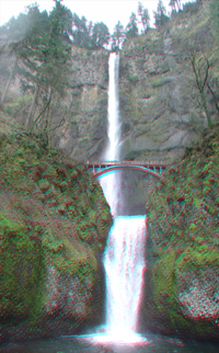
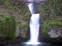
| Multnomah Falls | Multnomah Falls | |
 |
Click here to see images of the Columbia River Gorge of central Washington in the Grand Coulee Region. | |
| Multnomah Falls |
Columbia River Gorge | |
| Click here to see more geology tours of National Parks. |
|
The U.S. National Forest Service website for the Columbia River Gorge National Scenic Area is: http://www.fs.fed.us/r6/columbia/forest/ See selected references about the Columbia River Gorge National Scenic Area. |
 |
This website contains images produced from stereo photo pairs that were manipulated into anaglyphs (3-D images). You will need red-and-cyan stereo viewing glasses to get the 3-D visual effects. Photography on this website was taken in 2004. |
| This page is <https://gotbooks.miracosta.edu/gonp/columbiariver/> Last modified Mon 1/5/2011 |