 |
 |
 |
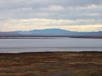
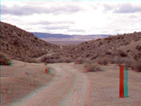
| Soda Dry Lake. |
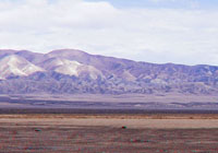
Soda Dry Lake with Temblor Range. |
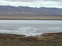
Soda Dry Lake with Caliente Range. |
 |
 |
 |
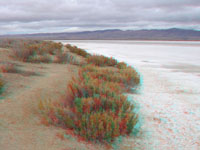
| Soda Dry Lake shoreline. |
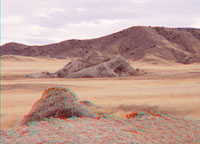
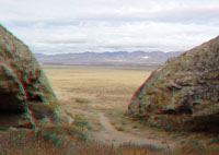
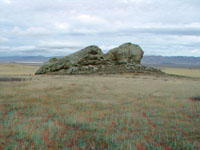
Painted Rock. |
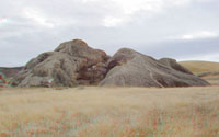
Painted Rock (east side). |
 |
 |
 |
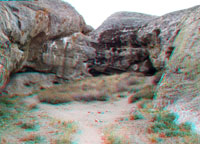
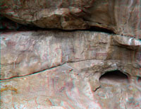
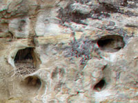
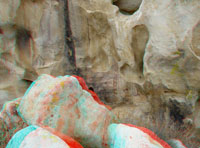
| Alcove in Painted Rock. |
Alcove in Painted Rock. |
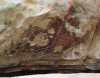
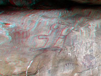
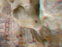
Pictographs at Painted Rock. |
 |
 |
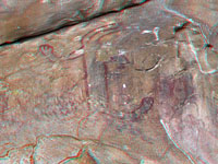 |
| Pictographs at Painted Rock. |
Pictographs at Painted Rock. |
Pictographs at Painted Rock. |
 |
 |
 |
| Pictographs at Painted Rock. |
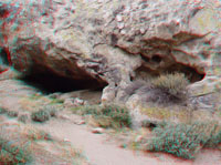
Alcove in Painted Rock. |
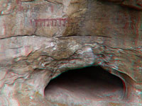
Bird Nest in Painted Rock. |
 |
 |
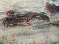 |
| Pictographs at Painted Rock. |
Pictographs at Painted Rock. |
Pictographs at Painted Rock. |
 |
 |
 |
| Painted Rock (west side). |
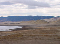
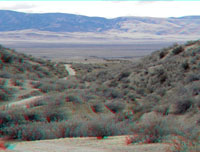
Soda Dry Lake Temblor Range |
Wallace Creek and Temblor Range. |
 |
 |
 |
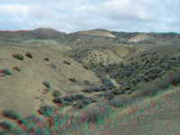
| Wallace Creek offset stream. |
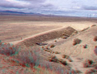
San Andreas Fault scarp. |
San Andreas Fault south of Wallace Creek. |
 |
 |
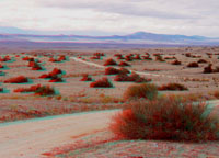 |
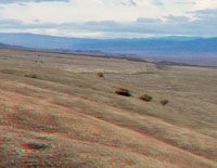
| Elkhorn Scarp area. |
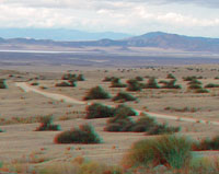
Elkhorn Scarp area with Caliente Range. |
Elkhorn Scarp area with Caliente Range. |
 |
 |
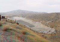 |
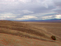
| View northwest toward Soda Lake. |
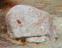
Granite boulder with dike. |
Sag Pond along San Andreas Fault (south end of park). |