USGS Earth Science Photographic Archive digital file: hjk00848 and hjk0848a
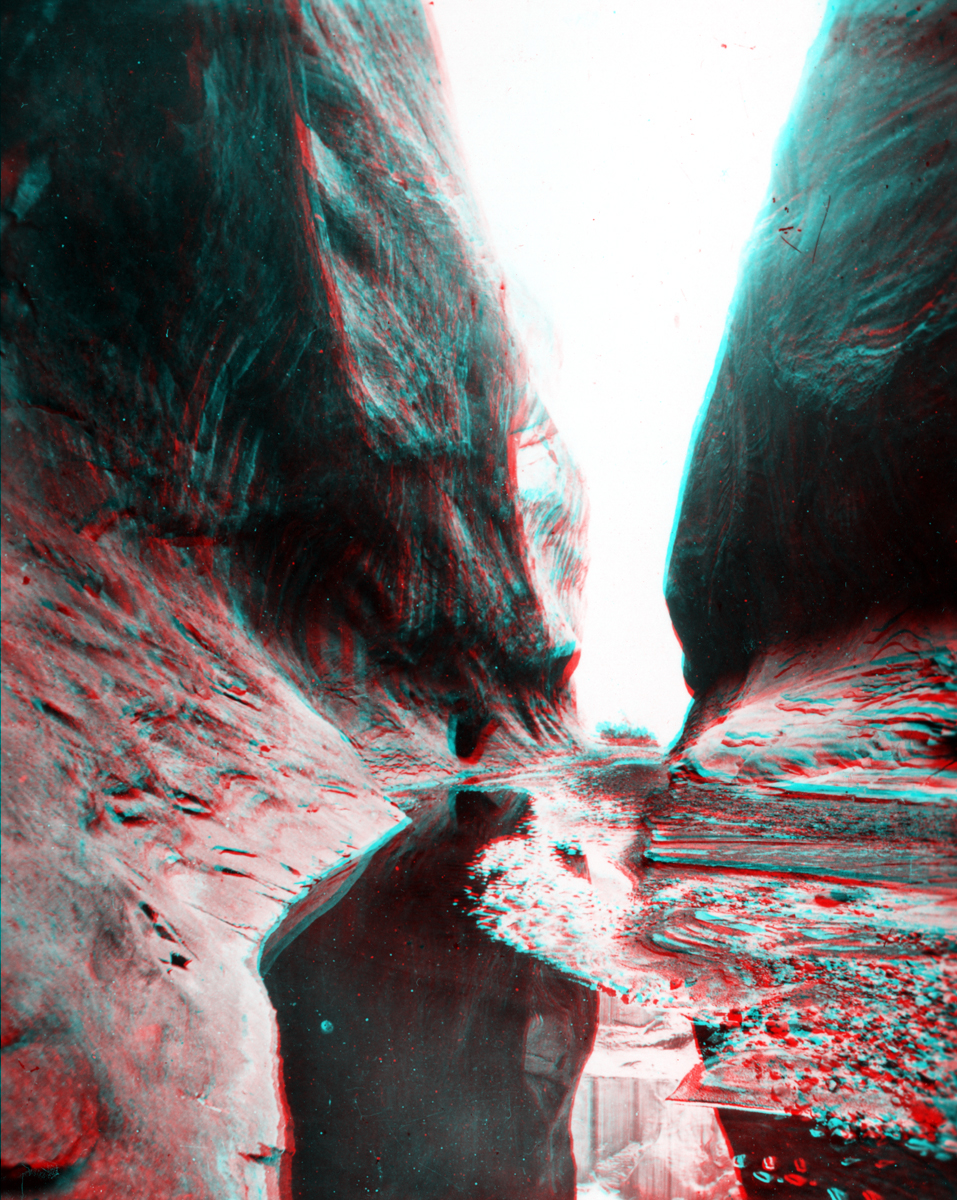
The Waterpocket Fold runs north-to-south through Capitol Reef National Park in central Utah. Numerous canyons cut through a great hogback ridge of Navajo Sandstone that runs down the fold. The Thompson party probably crossed these canyons midway through the fold (in the vicinity of Notom, Utah) before ascending a pass in the Henry Mountains (between Mt. Ellen and Mt. Pennell, both named by "Prof" Thompson; he also named a third peak, Mt. Hillers -- after Jack Hillers). The location of this narrow canyon is in the Waterpocket Fold and is probably along Pleasant Creek (also named Tantalus Creek) in Capitol Reef National Park.