USGS Earth Science Photographic Archive digital file: hjk00749
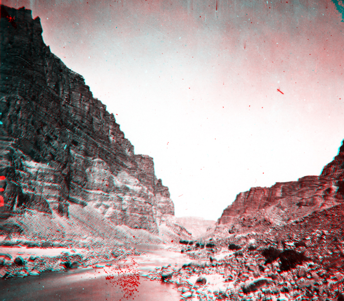
The sharp contrast between these units probably reflect the formation boundary between the Wasatch Formation and the overlying, darker, more organic-rich Green River Formation. These strata formed from deposits laid down in the subsiding Uinta Basin during the Laramide Orogeny. The Wasatch Formation represents inter-fingering sedimentary deposits (gravel, sand, and mud) that accumulated in stream channels, on floodplains, or in swamps or lakes, whereas the Green River Formation represents sediments deposited in a great lake basin that extended throughout northwestern Utah and parts of western Colorado and southwestern Wyoming. Through time, "Green River Lake" fluctuated with climatic conditions, ranging from freshwater to hypersaline conditions. At times, extensive algal reef formed along margins of the basin. In addition, stagnant water at depth allowed organic-rich sediments accumulated in the lake bed. Concentrations of organic material in some sections of the Green River Formation are rich enough to burn freely if ignited.