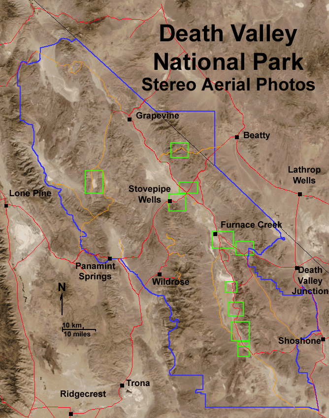
Click on any of the green boxes to see a stereo aerial view taken in 1948. Click here to see all the images in series. Scale on all images is about 1 inch equals a mile (1:48,000); north is to the left; elevation is highly exaggerated by stereoscopic effect (converted to anaglyph, requiring 3D red-and-cyan glasses for viewing). The "left is north" orientation as an artifact of the flight path and orientation of the original stereo pairs of the photographs. To see these images as regular aerial photographs, click here.
Click "next image" to start a 3D aerial photo tour.
For a larger view of this map, click here.