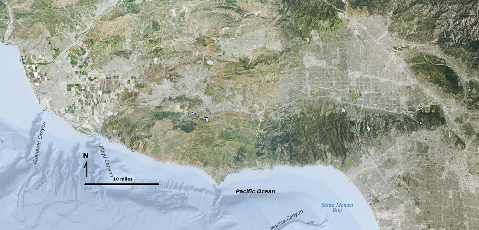
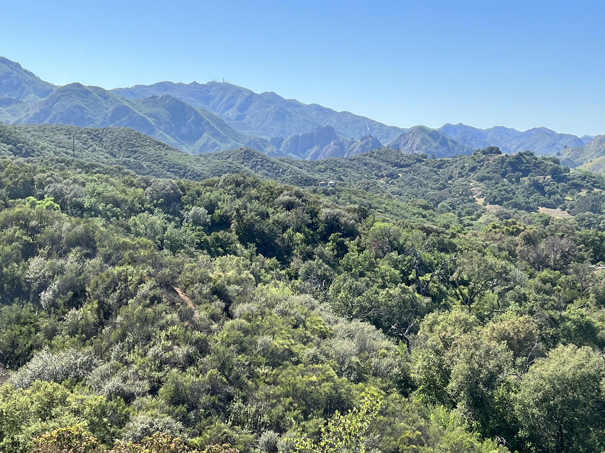
Santa Monica Mountain National Recreation Area offers easy access to wild places in the coastal mountains west of Los Angeles. The mountains rise to roughly 3,000 feet from the coast near the popular beaches of Malibu, California. The park is host to numerous historical and cultural sites, including "old movie ranches" to Native American centers. Much of the park consist of former ranch lands that have gradually been restored to native habitats.
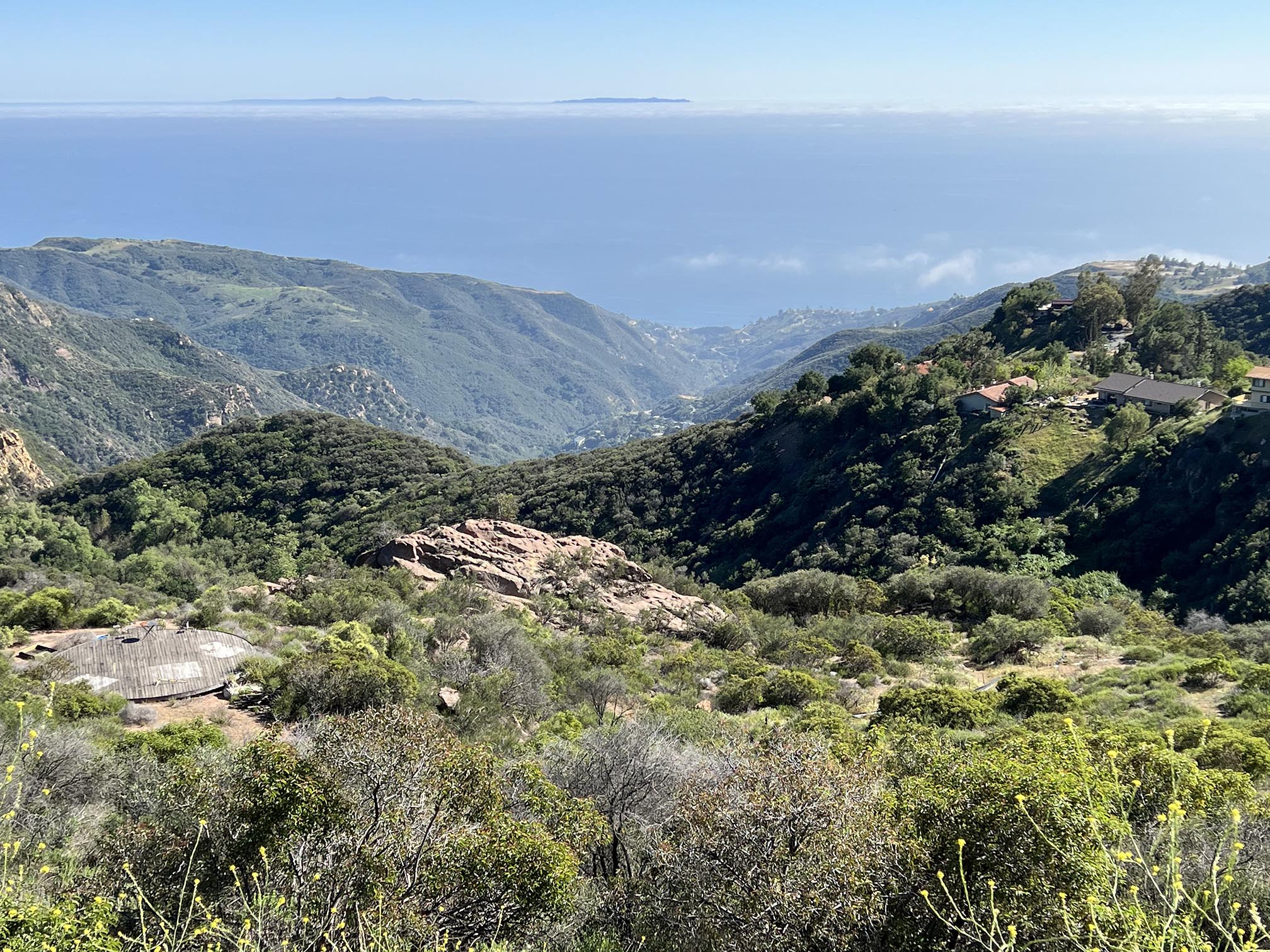
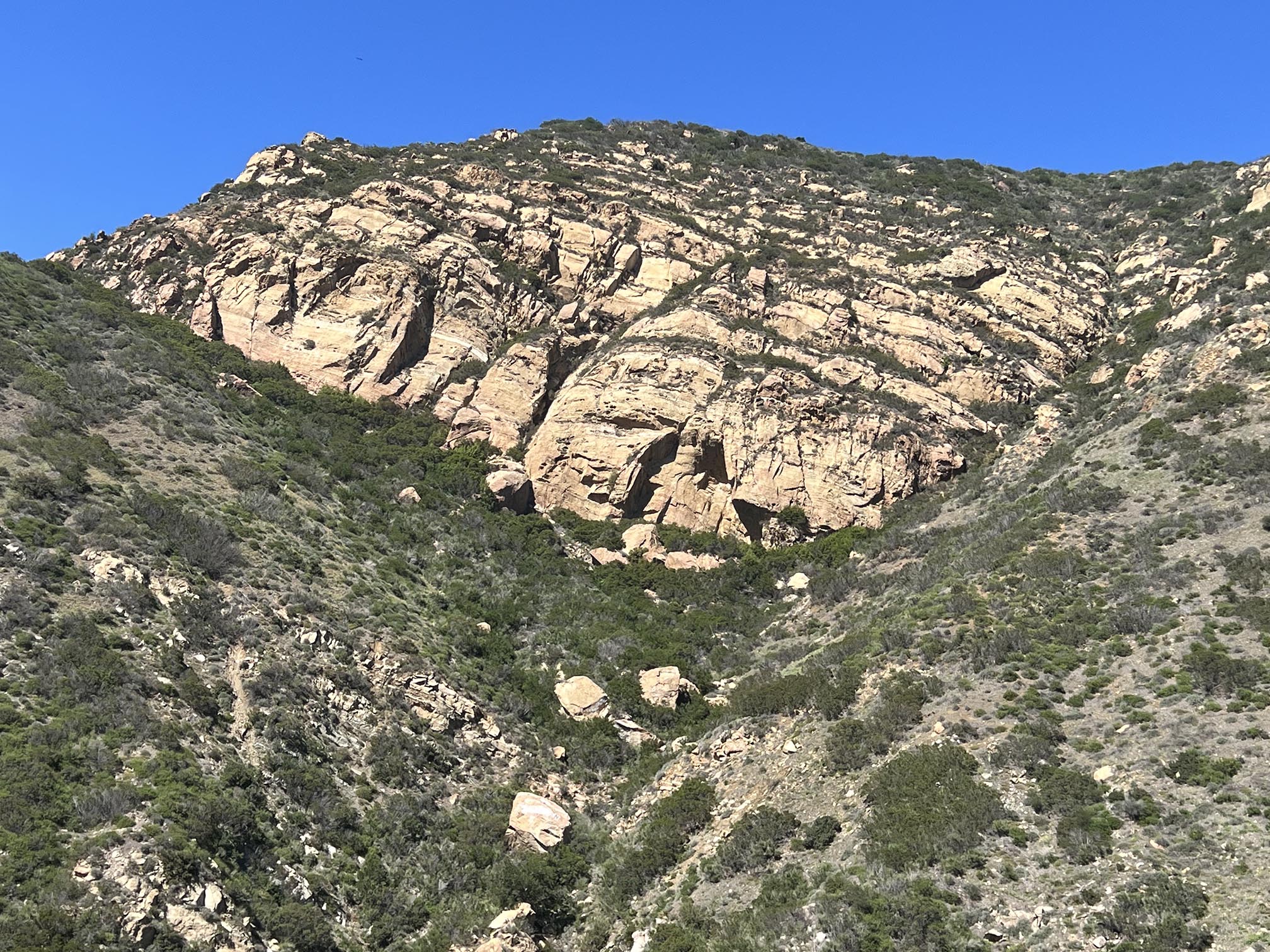
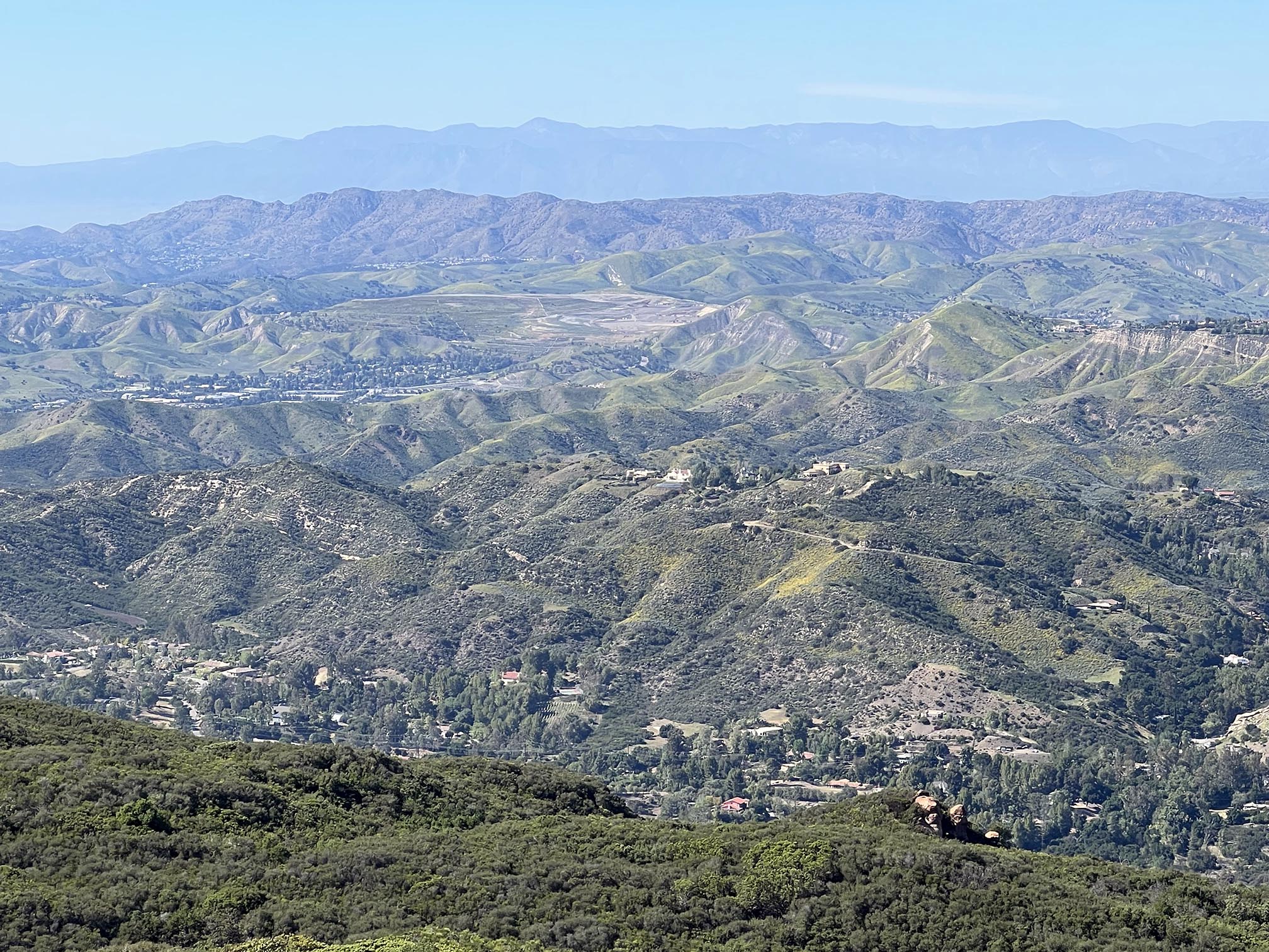
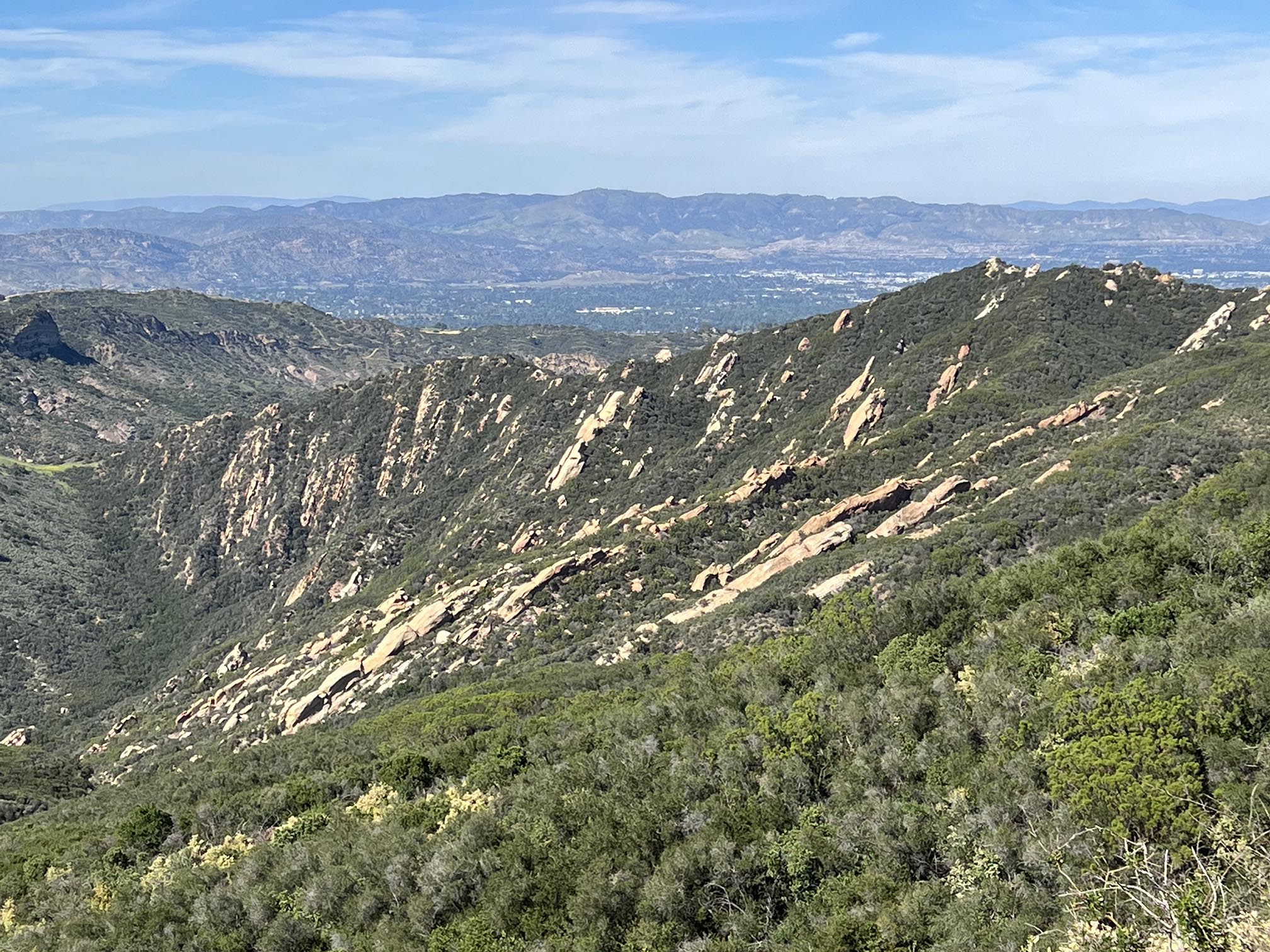
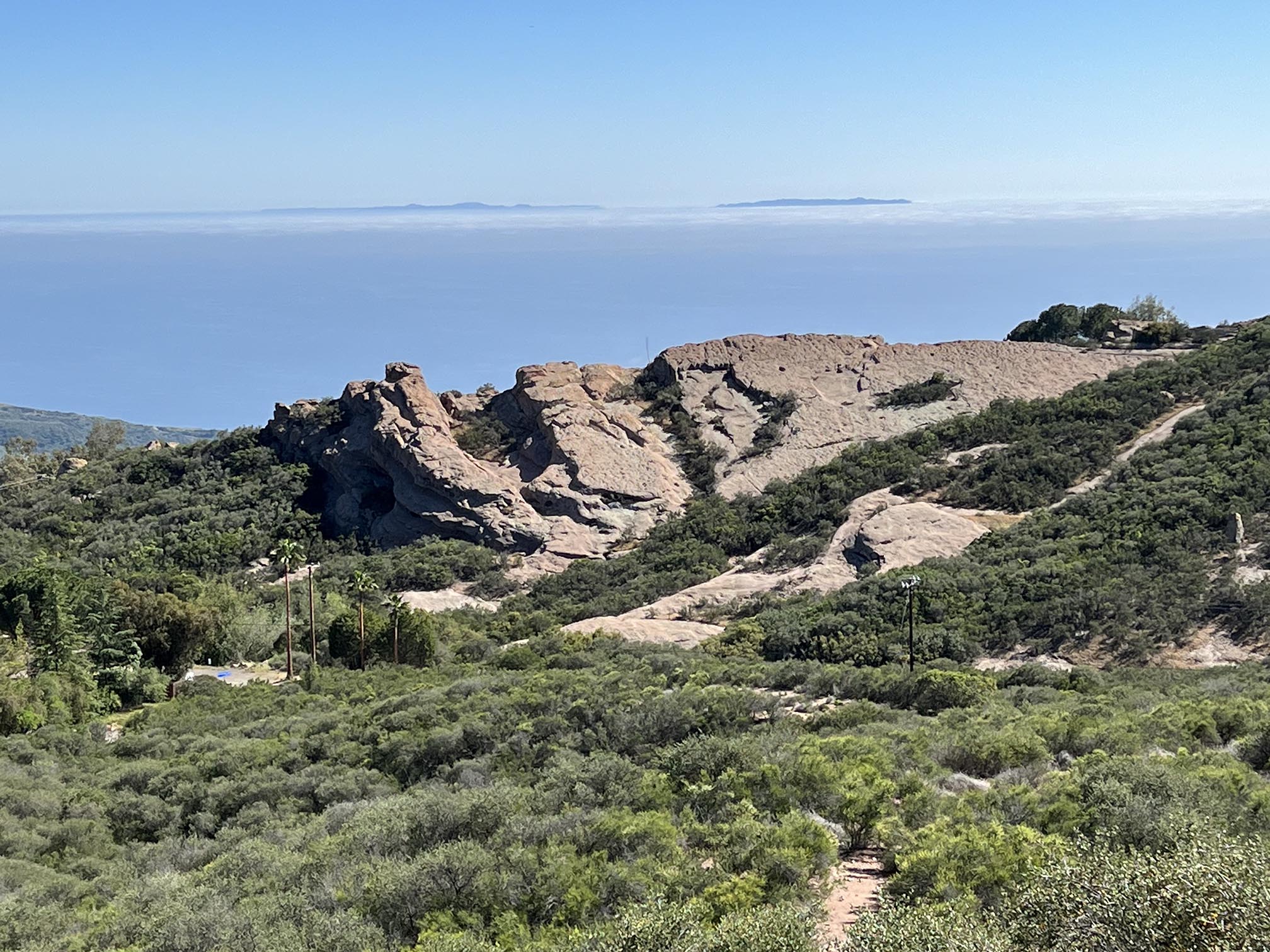
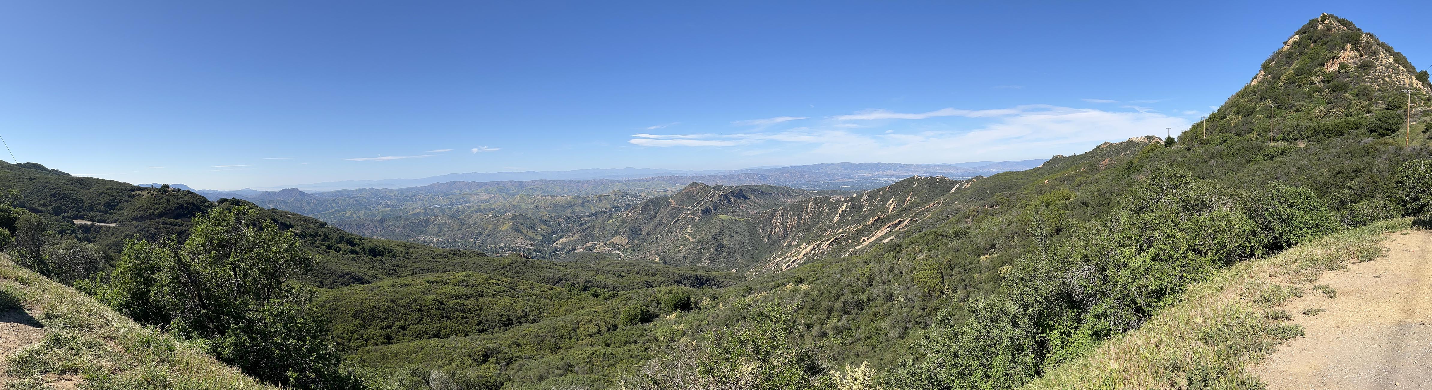
Access to the park involves winding canyon roads that lead to the crest of the Santa Monica Mountains. The views from the ridgeline are spectacular on clear days, encompassing the Pacific shoreline and the Channel Islands offshore (to the south and west), the Los Angeles basin to the east, and mountainous ridgelines of the Transverse Ranges to the north. The park has more than 500 miles of trails, including Backbone Trail that extends for 67 miles, connecting the Santa Monica Mountains (from Will Rogers State Historic Par to the east, and Point Magu State Park to the west). The trail connects the rock highlands, including Saddle Peak, peaks to the sandy beaches along the coast. The park is also a popular destination for mountain biking, horseback riding, rock climbing, and ranger guided hikes and activities. The coastal mountains are popular for wildlife and wildflower viewing. The park lands are dominated by chaparral, coastal sage, and oak scrubland habitats, with some conifer forests in upland areas.
(See NPS website "Natural Features & Ecosystems").
Learn more about the park and plan your visit using the National Park Service website:
https://www.nps.gov/samo/index.htm |
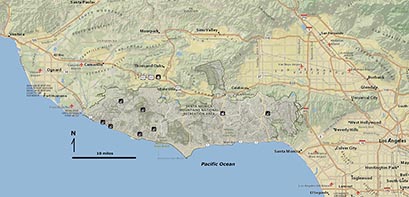
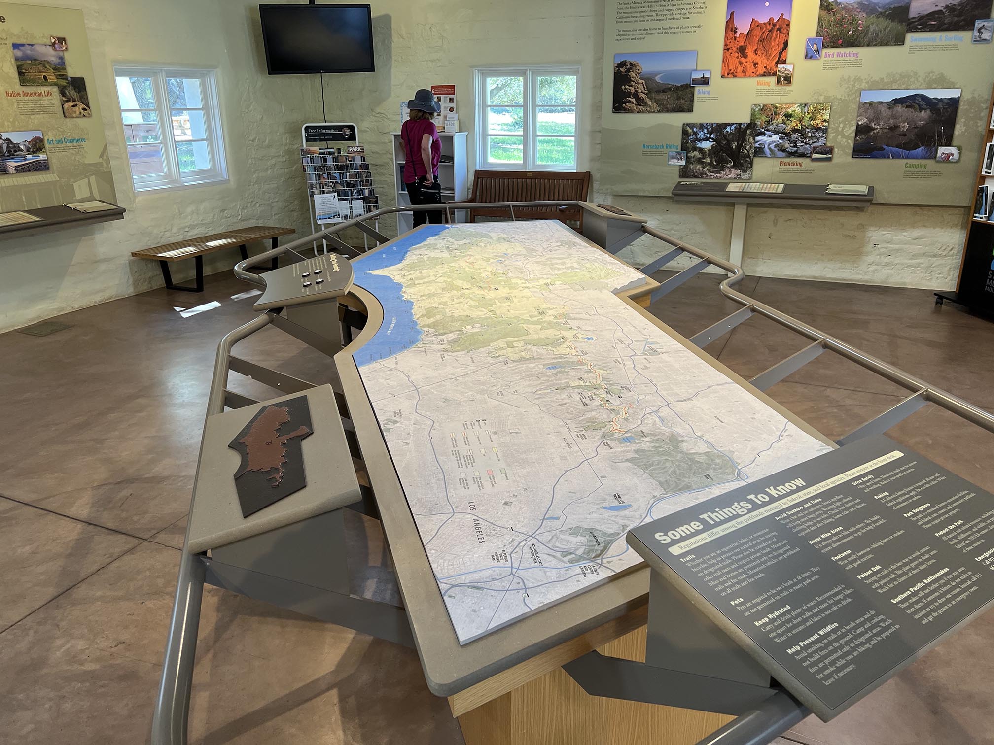
Map of the Santa Monica Mountains National Recreation Area

Satellite and bathymetry map of the region. |