
Regional Geology of North America |
Transverse Ranges |
Click on images for a |
|
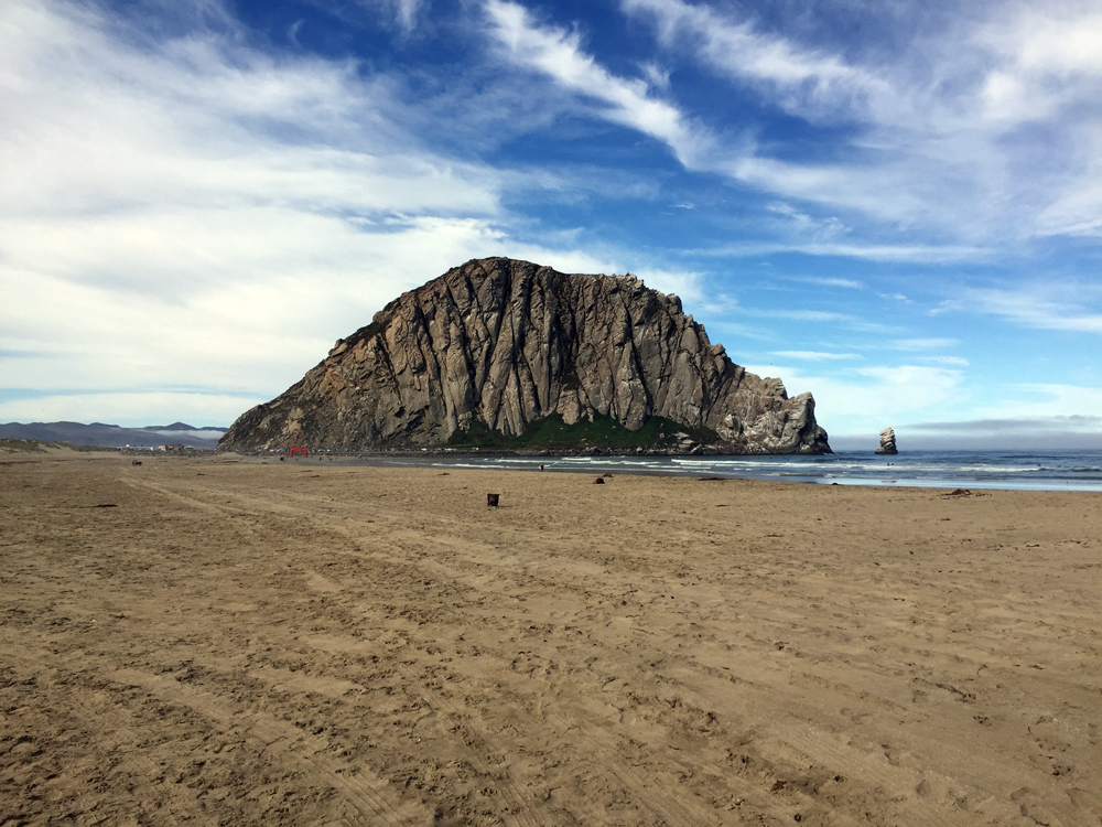
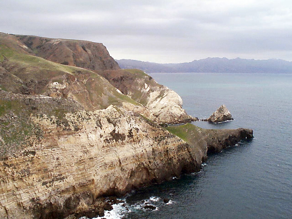
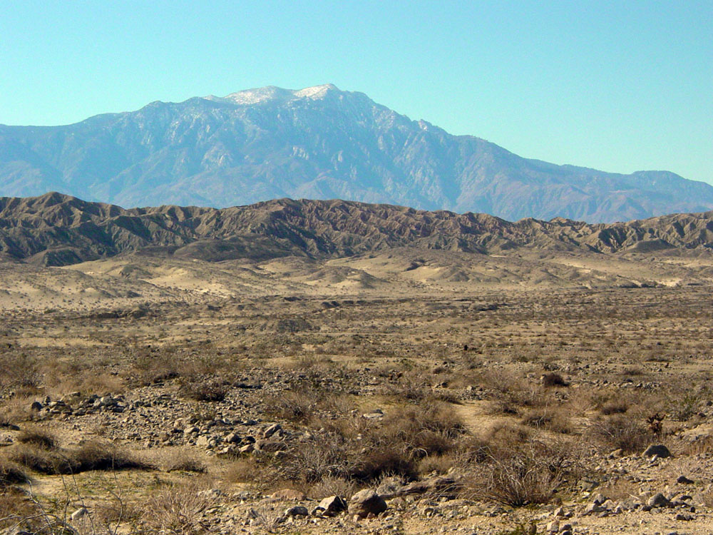
The Transverse Ranges are generally east-to-west trending coast ranges between San Luis Obispo and Los Angeles. The Transverse Ranges are the highest of the coast ranges, and consist of about a dozen named mountain ranges. The Transverse Ranges are fairly complex because of if the dynamic interaction of the San Andreas Fault system with the east-west trend Garlock Fault. The largest historic earthquake in California was the Tejon Pass Earthquake of 1857 (estimated M7.9) happened near the intersection of the two great fault systems. At the north western end are the Nine Sisters, a volcanic field consisting of a series of 13 volcanic plugs and intrusive bodies, including Morro Rock at its western end (Figure 279). The volcanic features formed about 23 to 28 million years ago (Late Oligocene to Early Miocene). Strands of the San Gregorio-Hosgri Fault system comes onshore at Morro Bay and near Avila Beach in San Luis Obispo County. The Santa Ynes Mountains are an east-west trending mountain range that rise along the coast in Santa Barbara and Ventura Counties (contributing to the scenery along Highway 101 west of Los Angeles). The Santa Monica Mountains on the southwest side of Los Angeles are the southernmost of the Transverse Ranges. Channel Islands National Park encompasses four islands south of the Santa Barbara (Figures 280 and 281). The islands follow a geologic trend that continues west from the Santa Monica Mountains. Los Padres National Forest and Angeles National Forest encompasses the forested highland ranges inland from the coast. The San Gabriel Mountains are on the north of the Los Angeles Basin. Mount San Antonio, elevation 10,064 (3,068 m) is the highest peak. The San Bernardino Mountains are at the eastern end of the Transverse Ranges—they are also the highest of the Coast Ranges. San Gorgonio Peak is the highest peak in the range, elevation 11,501 feet (Figure 282). The San Andreas Fault runs along the north side of the San Gabriel and San Bernardino Mountains. |
|

| https://gotbooks.miracosta.edu/geology/regions/transverse_ranges.html 1/20/2017 |