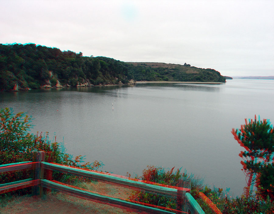
Tomales Bay as viewed from an overlook (looking north) in Tomales Bay State Park. Granitic rocks are exposed along the shore to the left. Tomales Bay roughly follows the trace of the San Andreas fault zone valley. Olema Valley is a continuation of the San Andreas fault zone valley to the south of Tomales Bay.