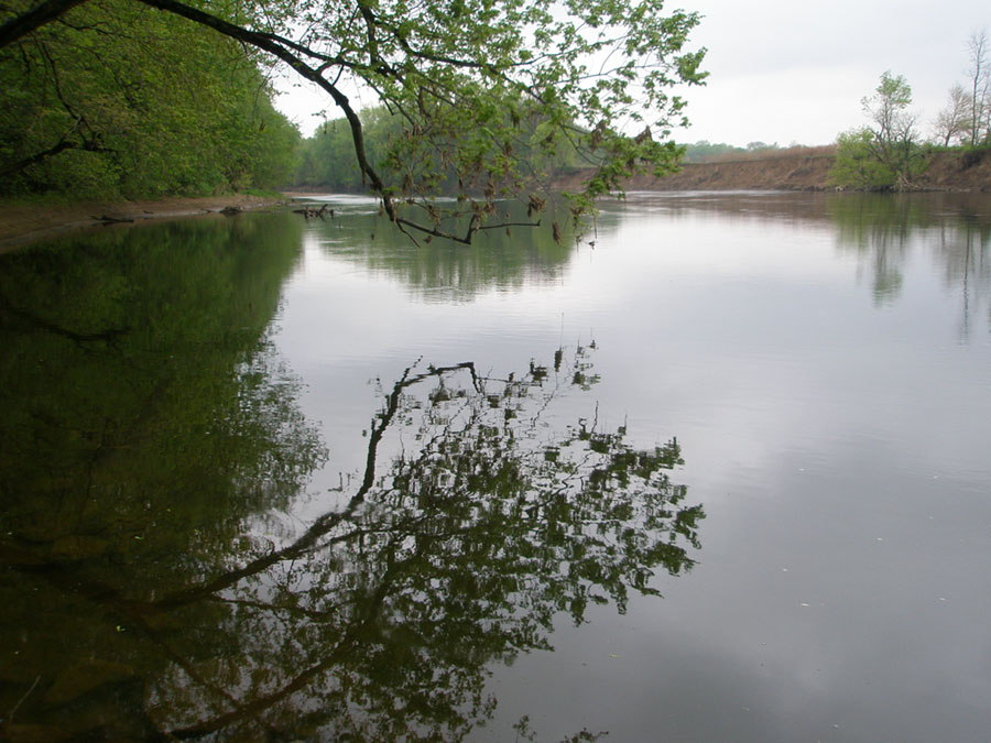
Chillicothe is located in a very scenic part of Ohio. The scenic landscape reflects its geologic setting. The Scioto River flows north-to-south in its valley along the east side an escarpment of high hills (by Ohio standards). The bedrock in the hills consists of erosionally resistant strata of Devonian and younger age. This escarpment partly impeded the flow of continental glacial ice southward out of Canada into the Ohio region during the ice ages. The region of Ohio that is southeast of this escarpment was not scoured by the continental glaciers during the Pleistocene ice ages. In contrast, the landscape east of the Scioto River Valley was glaciated. In the glaciated region, the arrangement of stream valleys partly reflects the geometry of the retreating continental glaciers and the terminal moraines and till deposits the last glacier left behind. As the glaciers retreated, streams carved canyons and then broadened them into valleys with floodplains we see today. The region was basically ice free by about 14,000 years ago, about the time when the first ancestral American Indians left evidence of their migrated into the area.
The scenic escarpment to associated with Mount Logan is located just several miles north-and-east of Chillicothe. Mount Logan is a scenic high peak in the hills and is part of Great Seal State Park. Mount Logan is depicted in the Great Seal of the State of Ohio. The Great Seal was established in 1803 while Chillicothe was the capital of Ohio.
See Bedrock geologic map of Ohio: Ohio Department of Natural Resources.