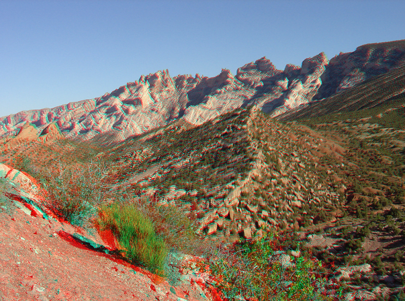
| This view from the end of the Petroglyph Trail shows the high, rugged core of the Split Mountain. Split Mountain is a great anticlinal fold. The mountain gets its name because the Green River cuts through the mountain rather the flowing through lower country that surrounds the uplift. The fact that the river cuts through the mountain is a reflection of the antiquity of the landscape and the ongoing erosional processes shaping it. The Uinta Mountains and surrounding structured developed during the Laramide Orogeny (Late Cretaceous to Oligocene). In Eocene time, great lakes covered much of the region that slowly filled with sediments derived from mountain ranges in the region during the Laramide Orogeny (Gregson and Chure, 2000). By Miocene time, erosion had practically leveled the landscape and the ancestral Green River probably flowed across a gentle alluvial plain. In the last several million years the land has risen and rivers and streams have carved downward. In middle Pleistocene time, the Green River was diverted by stream capture from its ancestral easterly course in southern Wyoming (Hansen, 1986). The ongoing entrenchment by the Green and Yampa Rivers has exposed the colossal Laramide structures and thick sequence of pre-Laramide rock formations visible in the park today. |