|
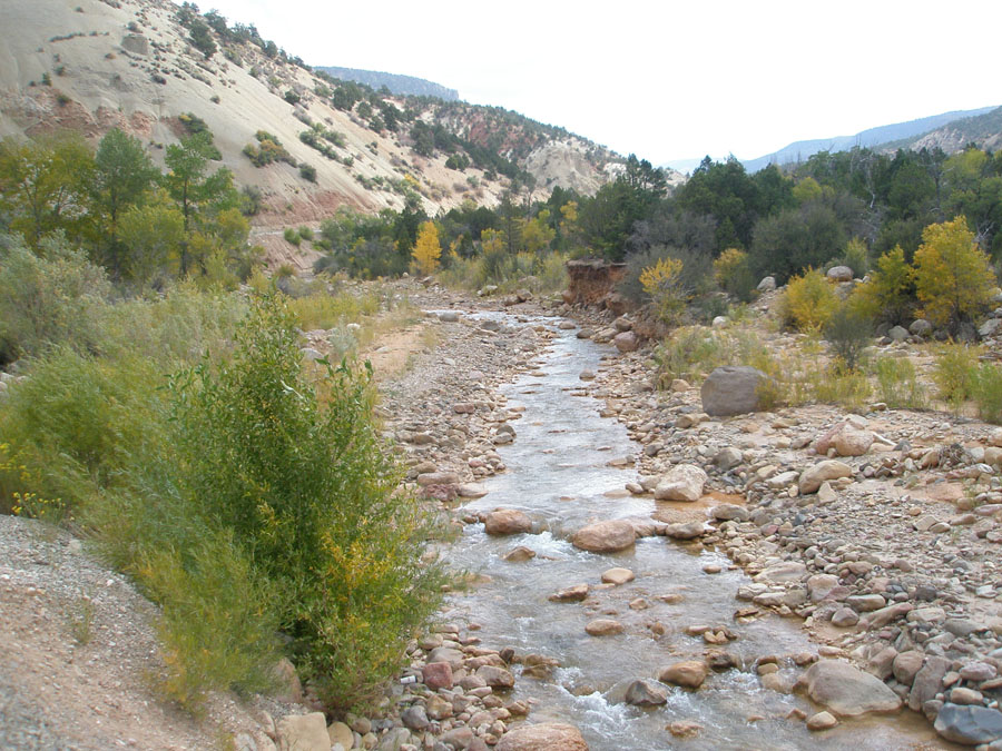
| Coal Creek in Cedar Canyon (downstream of the park) is prone to high stream flow and flooding during spring runoff and late summer monsoonal thunderstorms. This view is looking east from Utah Highway 14 in Dixie National Forest between Cedar City, Utah and Cedar Breaks National Monument (in the distant left). The drive from Cedar City to the national monument ascends from below 6,000 feet to above 11,000 feet on the Cedar Breaks National Monument road. The route crosses through the Hurricane Fault zone near Cedar City and through a thick section of Mesozoic and early Tertiary-age sedimentary rocks along the western margin of the Colorado Plateau. Click here to learn about the stratigraphy of the Cedar Breaks National Monument area. |