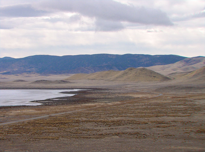
This view is looking south from Overlook Hill toward the Caliente Range. Soda Lake Road passes just east of the fringes of saltbush habitat. Plant-stabilized clay-dust dunes are in the foreground area.
During the summer months when daily temperatures typically range above
100 degrees F, the surface of the playa and other sag ponds along the
San Andreas Fault become incrusted with sodium sulfate (less
than 10 percent is sodium-chloride salt). Salt and sodium sulfate were mined intermittently from the playa between the 1880s and 1940s (Hildinger, 1995).
In the past, the lake was perennial
and more extensive. The occurrence of Plio-Pleistocene Pasa Robles Formation gravels beneath the Soda Lake basin sediments suggest that the Carrizo basin drainage probably extended to Monterey Bay. During the Pleistocene, tectonic warping and faulting associated with San Andreas Fault and uplift along on the southwest side of the basin probably blocked drainages, allowing a large freshwater lake to stand in the Soda Lake basin during wet periods. Studies of clay dune deposits in the Soda Lake basin suggest that the lake went saline before 16,700 years ago (Rhodes, 2005).