Click here to see a stratigraphic chart for the Badlands.
Click here to see a geologic map of the Black Hills region.
|
|
|
|
|
||||
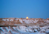
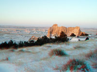
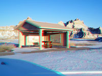
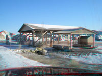
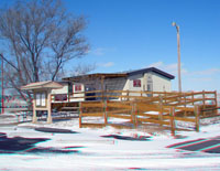
| Moon rise-Northeast Entrance | Badlands at Northeast Entrance | Cliff Shelf Nature Trail | Cliff Shelf Nature Trail | Cliff Shelf Nature Trail | ||||
|
|
|
|
|
||||
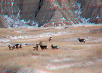
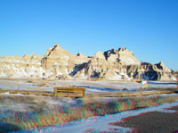
| Cliff Shelf Nature Trail | Badlands at Cedar Pass Lodge | Deer near Cedar Pass Lodge | Deer near Cedar Pass Lodge | Big Badlands | ||||
|
|
|
|
|
||||
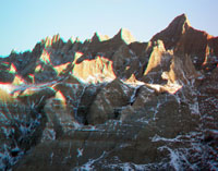
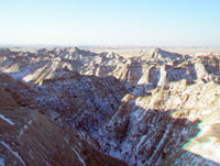
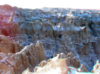
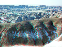
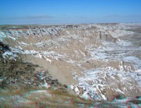
| Big Badlands | Big Badlands | Big Badlands | Fossil Exhibit Trail | Near Fossil Exhibit Trail | ||||
|
|
|
|
|
||||
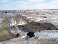
| Near Fossil Exhibit Trail | Pig Dig Shelter | Dillon Pass/Conata Basin | Dillon Pass/Conata Basin | Ancient Hunters Overlook | ||||
|
|
|
|
|
||||
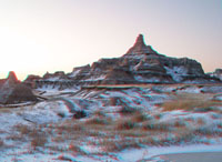
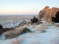
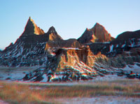
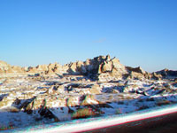
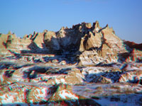
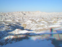
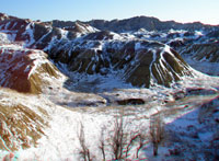
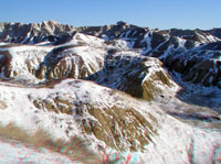
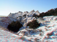
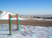
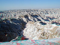
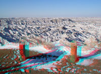
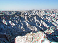
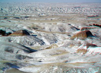
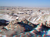
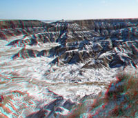
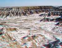
| Ancient Hunters Overlook | Pinnacles Overlook | Pinnacles Overlook | Pinnacles Overlook | Pinnacles Overlook | ||||
|
|
|
|
|
||||
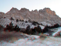
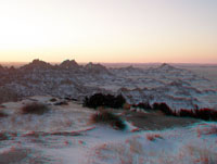
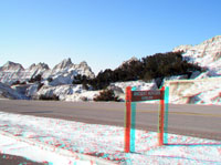
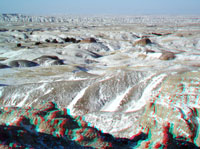
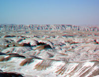
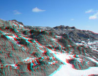
| Pinnacles Overlook | Pinnacles Overlook | Pinnacles Overlook | Grassy Tables Overlook area | Grassy Tables Overlook area | ||||
|
|
|
|
|
||||
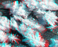
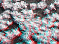
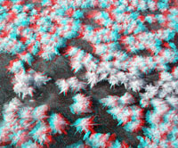
| Frost ice crystals at -10°F | Frost ice crystals at -10°F | Frost ice crystals at -10°F | Grassy Tables Overlook area | American Bison | ||||
|
|
|
|
|
||||
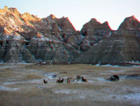
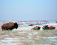
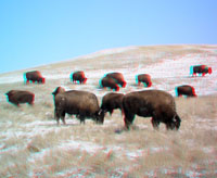
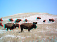
| Yellow Mounds | Yellow Mounds | Yellow Mounds | American Bison | American Bison | ||||
|
|
|
|
|
||||
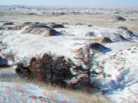
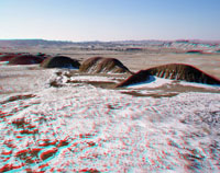
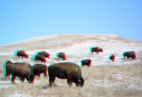
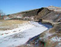
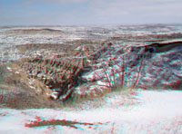
| American Bison | Sage Creek Valley | Cutbank in Sage Creek | Sheep Mountain access road | Sheep Mountain area | ||||
|
|
|
|
|
||||
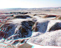
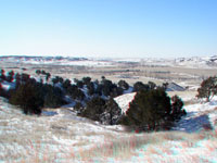
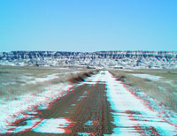
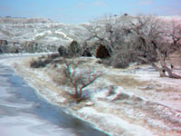
| Sheep Mountain area | Sheep Mountain area | Sheep Mountain area | White River Visitor Center | White River | ||||
|
|
|
Click here to see a stratigraphic chart for the Badlands. Click here to see a geologic map of the Black Hills region. |
|||||
| Cedar Creek Valley | Cedar Creek Valley | Red Shirt, South Dakota | ||||||
|
The URL is: https://gotbooks.miracosta.edu/gonp/badlands/html/thumbs.htm Last modified: 11/15/2009 |