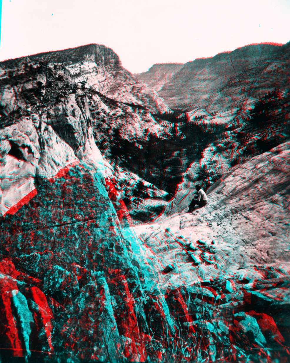
Winslow Creek, a branch of the Escalante River, Aquarius Plateau. Utah.
USGS Earth Science Photographic Archive digital file: hjk00825 and hjk0825a
Winslow Creek does not appear on any USGS topographic map of the Aquarius Plateau region. This view is possibly in the region north of the town of Escalante, Utah where a massive fold along the southern Aquarius Plateau exposed a thick sequence of Navajo Sandstone.