Zion National Park
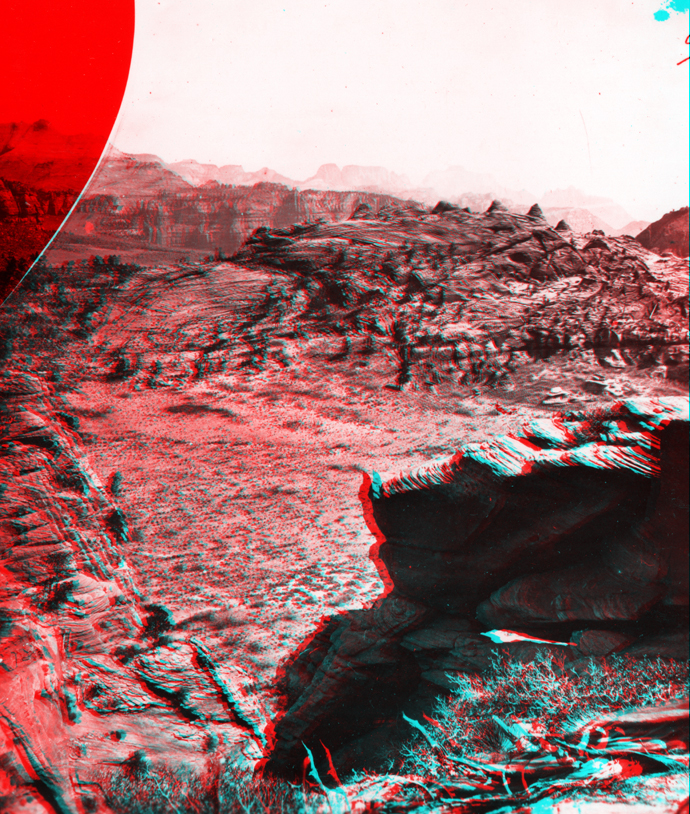
Kolob Country. Buttes of the Mukuntuweap Branch of the Virgin River in distance. On the horizon is shown the Great Temple, or, as the Mormons call it, "Steamboat Rock," which is 7500 feet high. Springdale is just on the other side of the square-topped buttes. Southern Utah. (Negative broken).
USGS Earth Science Photographic Archive digital file:hjk00712

Springdale is the community just outside the southern park entrance (near the Zion Canyon Visitor Center). On topographic maps, the "Great Temple" is labeled "Towers of the Virgin" with a high point, "Altar of Sacrifice" labeled with an elevation of 7,505 feet.
Next Image Return to Main Page
The URL is: https://gotbooks.miracosta.edu/gonp/3Dcanyons/pages/zion13.htm
Last modified: 2/14/2004