USGS Earth Science Photographic Archive digital file: hjk00735
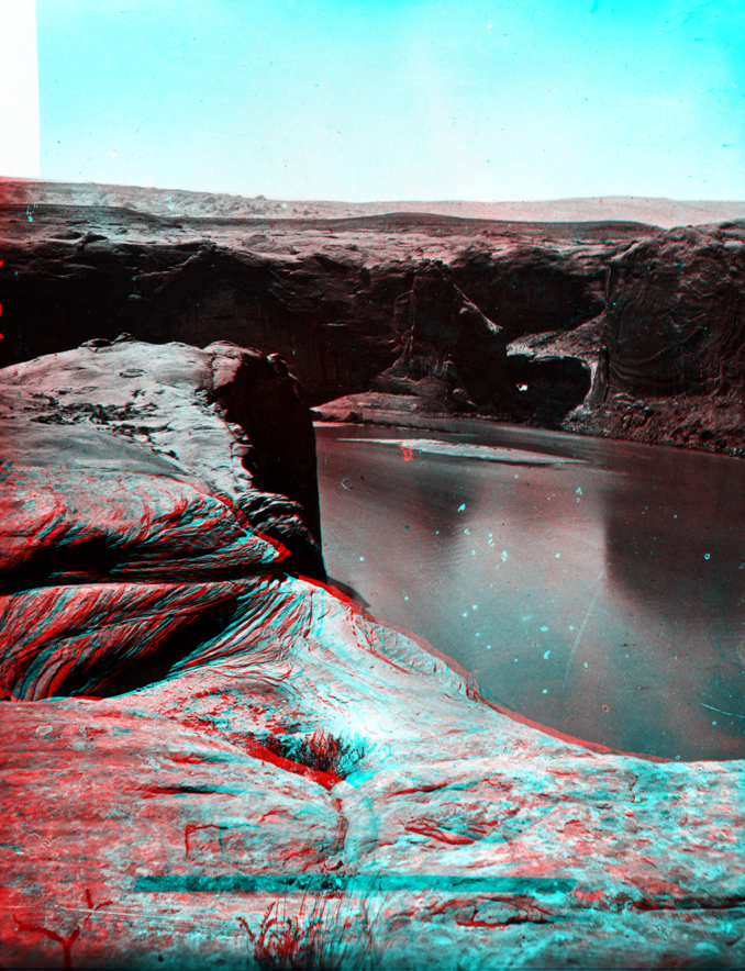
This view is probably looking north across the slick-rock caprock of Navajo Sandstone in the vicinity west of Halls Crossing. To the northwest, low dark hills of middle and upper Jurassic-age formations crop out along the eastern side of the Waterpocket Fold. Beyond (barely visible on the left horizon) is the jagged white hogback of Navajo Sandstone exposed along the crest of the Waterpocket Fold in Capitol Reef National Park. The region extending to the horizon on the right is in the vicinity of the Circle Cliffs extending upward to the high escarpment of the Aquarius Plateau-Boulder Mountain area, nearly 50 miles away.