USGS Earth Science Photographic Archive digital file: hjk00670
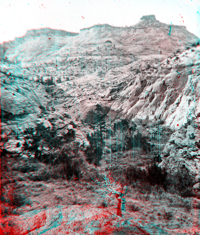
The "White Cliffs" consist of Navajo Sandstone. The Navajo Sandstone crops out throughout the headwaters of Escalante River region between the towns of Escalante and Boulder, Utah. Today, Utah Highway 12 follows part of the Thompson route through the region.