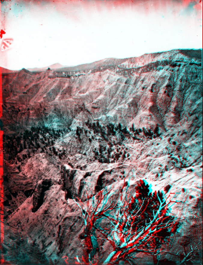
At head of Paria River. Utah.
USGS Earth Science Photographic Archive digital file: hjk00525
This photograph was probably taken in the vicinity of Henrieville, Utah. Rough canyon country like this exists throughout the Gray and Pink Cliffs regions on the Aquarius Plateau and nearby on the Kaiparowits Plateau. The Gray Cliffs consist of Cretaceous-age shale and sandstone beds deposited in shallow marine and coastal floodplain environments in the era when dinosaurs still existed prior to 65 million years ago. The Pink Cliffs reflect sediments deposited in a great inland lake and marginal floodplains that existed in the region across central Utah through early Tertiary time until about 40 million years ago.