USGS Earth Science Photographic Archive digital file: hjk00739
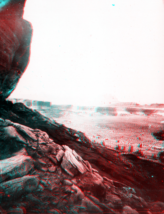
The Second Powell Expedition stopped at Bonita Bend on September 12, 1871 (located 86 miles downstream of "Gunnison Crossing" at Green River State Park, Utah). They recognized that Anderson Bend (nearby) is a cutoff stream meander that formed when the Green River cut through the neck in a bend in the river. The flat water through this section of the river canyon prompted Powell to name it Stillwater Canyon. Stillwater Canyon extends from just above Bonita Bend to the rapids just above the Confluence of the Green and Colorado rivers.