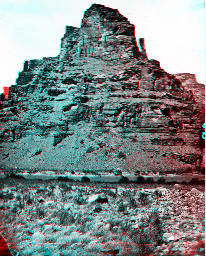
USGS Earth Science Photographic Archive digital file: hjk00713
Desolation Canyon is along the south side of the Uinta Basin, an asymmetrically-shaped downwarp surrounded by mountain ranges surrounding the northern Colorado Plateau. Whereas the center of the basin is near Ouray, Utah, at its maximum thickness the sedimentary strata above Precambrian basement rocks is about 15,000 feet just south of the Uinta Range. The south side of the basin is a gentle upwarp that flattens out gradually to a structural high in south central Utah in the Canyonlands National Park region. In that region, Mesozoic strata overlies an older structural downwarp called the Paradox Basin (discussed below). Traveling downstream along the Green River from Ouray through the canyon the rocks grow progressively older at stream level (the strata dips gently upstream, to the north). Three rock formations of Tertiary Age (Eocene Epoch) crop out throughout Desolation Canyon, and they are exposed youngest to oldest downstream. Near Ouray, the Uinta Formation is exposed in a region of relative low relief. The progressively higher cliffs of Desolation Canyon consist of Wasatch Formation (nearly 3,000 feet thick), and along the southern end of the canyon, the Green River Formation is exposed (also about 3,000 feet thick). These strata overlay a thin interval of Paleocene age rocks that, in turn, overlie rocks of Cretaceous rocks that croup out in Gray Canyon and the Book cliffs south of Desolation Canyon near Green River, Utah.