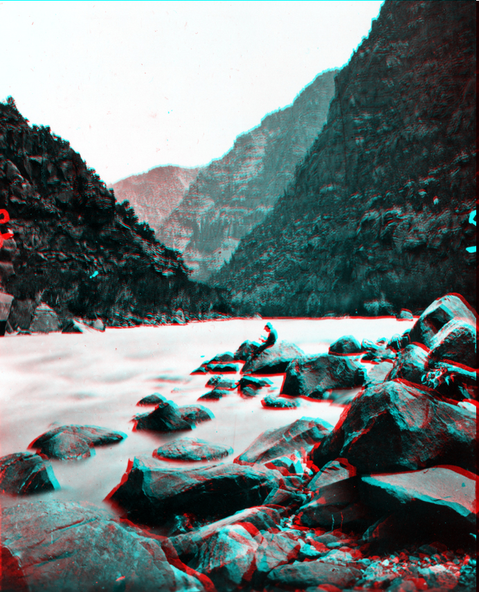
Clem Powell reading while sitting on a boulder in Cataract Canyon, Colorado
River. Arizona.
USGS Earth Science Photographic Archive digital file: hjk00603
Downstream of the Confluence with the Green River, the gradient of the Colorado increases, and the result is what Powell aptly named, Cataract Canyon. Cataract Canyon extends downstream for almost 50 miles with a drop of over 400 feet. Cataract Canyon extends to Mille Crag Bend, about 5 miles upstream of the mouth of the Dirty Devil River (which is located near Hite Crossing on Lake Powell). Cataract Canyon follows a system of fractures that trend toward the southwest (an ancient fracture system called the "Colorado Lineament" that extends from Arizona to Minnesota). As the river has carved downward the landscape along the river has raised, forming a series of anticlinal folds along the path of the river. The arching along the river path is probably the result of salt flowing gradually upward under the canyon due to the release of overburden pressure as the river carves downward. The salt beds are hundreds to thousands of feet below the surface in the lower Paradox Formation (Pennsylvanian age). The oldest rocks exposed in the region in parts of Cataract Canyon include gypsum, sandstone, and shale of the uppermost beds of the Paradox Formation. Gypsum of the Paradox Formation is exposed near the mouth of Gypsum Canyon (about 21 miles downstream of the Confluence).