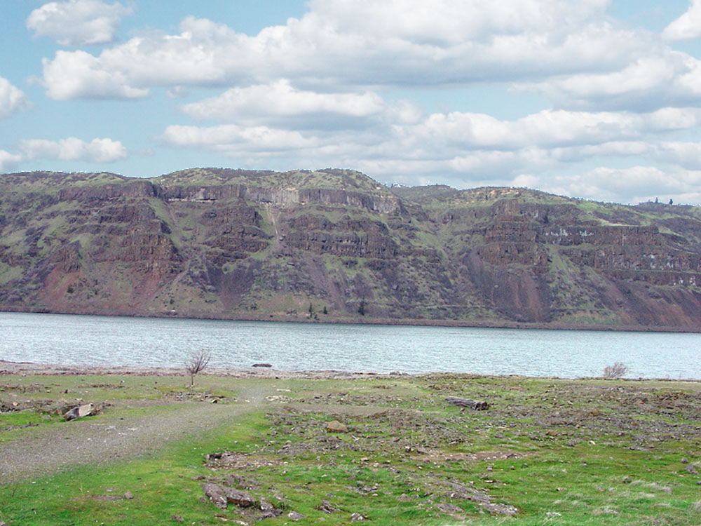
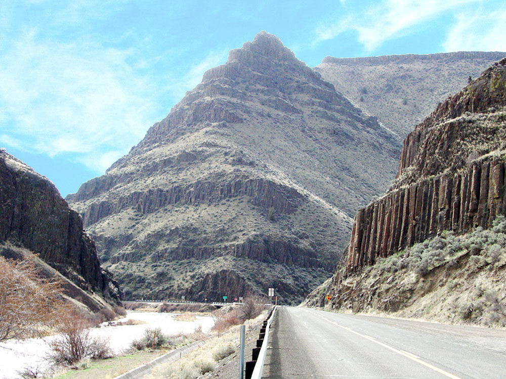
The Columbia River Plateaus region is located west of the Rocky Mountain and east of the Cascades and Coastal Ranges in the Pacific Northwest (Figure 125). The region has unusually catastrophic geologic history. Between 16 and 6 million years ago, massive eruptions of basaltic lava poured from rift zones and flooded the landscape throughout much of central and eastern Washington and Oregon. Floods of lava filled in valleys and eventually covered upland areas over thousands of square miles eventually creating an elevated plain (the Columbia Plateaus). They are collectively called the Columbia River Basalt Group—because they well exposed along the Columbia River Gorge (between Washington and Oregon, Figure 126). South of the Columbia River the region underlain by basalt flows is called the Oregon Plateau (exceptional exposures can be seen at John Day Fossil Beds National Monument, Figure 127). Exposures of the Columbia River Basalt can be seen all along the Columbia River in central and western Washington on the Columbia Plateau.
Grand Coulee, the Spokane Flood, and the Channeled Scablands
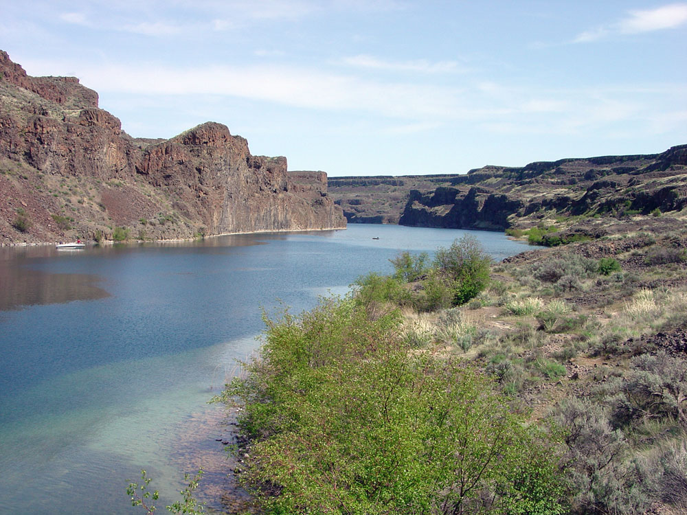
Exceptional exposures of the Columbia River Basalt can also be seen along the Grand Coulee—an unusual and scenic gorge with a series of lakes connected only by a small stream. Dry Falls on the Grand Coulee are the remnants of a series of waterfalls and plunge pools that formed from the Spokane Flood, a great flood that occurred at the end of the Pleistocene Epoch when the moraine dam of a huge lake collapsed (Figures 128 to 130). The flood occurred sometime between 18,000 and 12,000 years ago. The lake that existed in northern Washington and parts of Canada was comparable in size and volume to some of the modern Great Lakes. The natural dam probably consisted of loosely consolidated glacial till (rock and soil) that originally accumulated along the advancing front of a great piedmont glacier. The lake possibly drained in a matter of days or weeks, causing flood waters to spread across the relatively flat Columbia River Plateau before finding passage to the Columbia River. Erosion along hundreds of channels formed the Channeled Scablands - a region crisscrossed by dry channels that are generally barren of soil and still preserve many small pools and basins where the floodwaters carved potholes in the channel beds. The Spokane Flood would have dwarfed any known flood in modern history. |
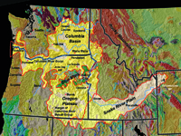
Fig. 125. Map showing the extent of the Columbia River Plateaus and Snake River Plain. Both are regions that have experienced massive volcanic rift eruptions that covered the landscape with basalt lava flows. |