Geology Banner

Regional Geology of North America

Colorado Desert Province

Click on images for a
larger view.

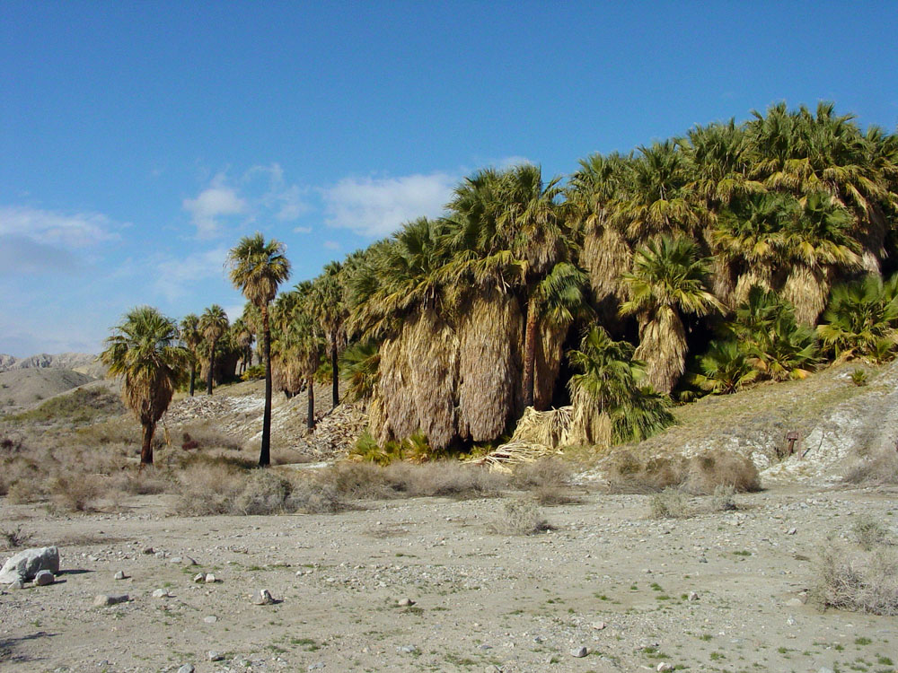
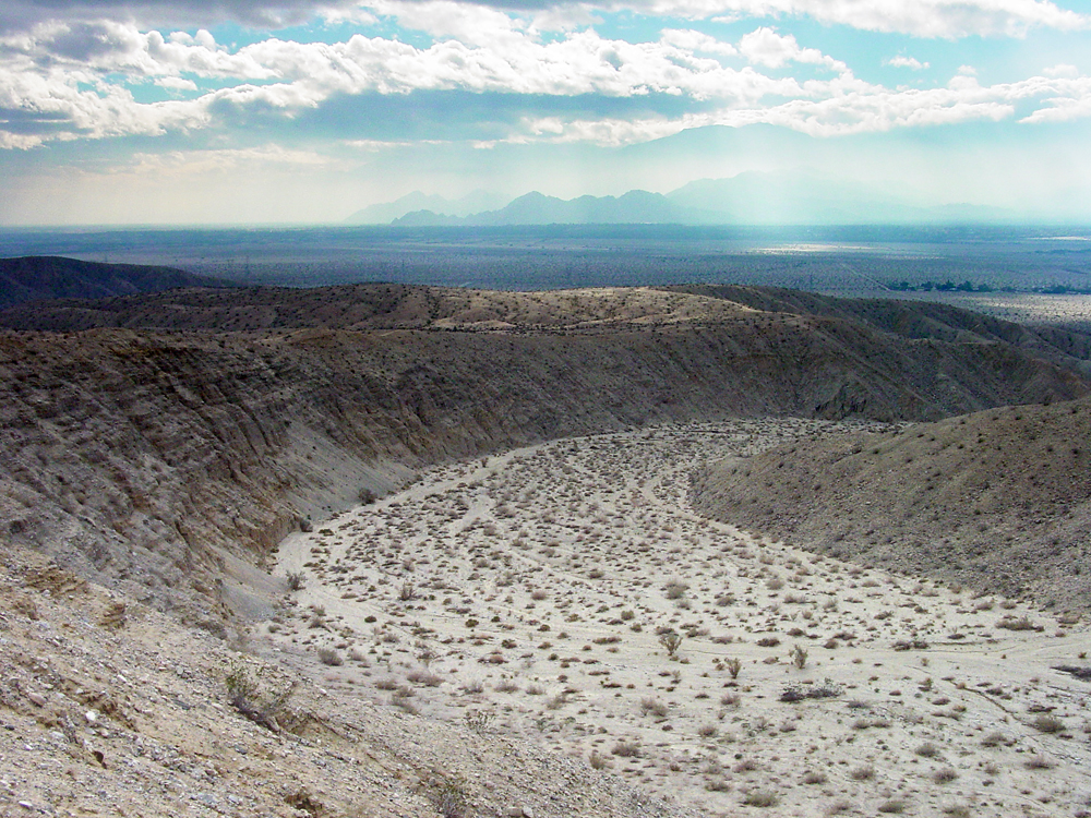
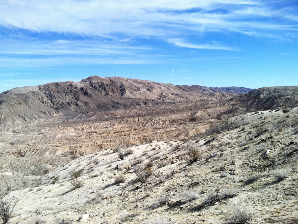
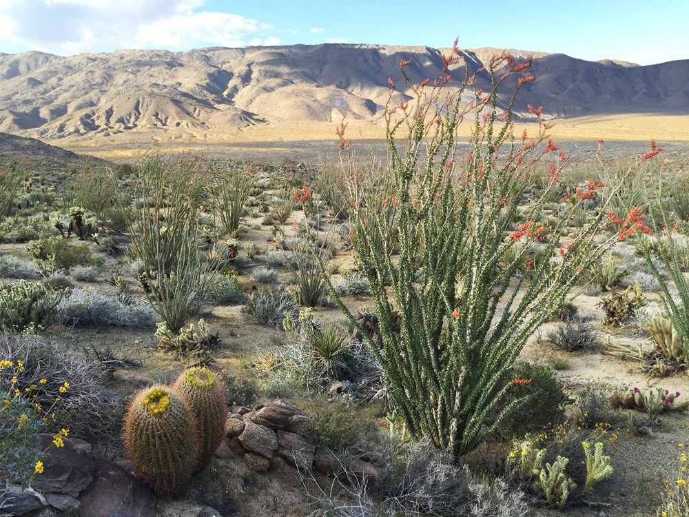
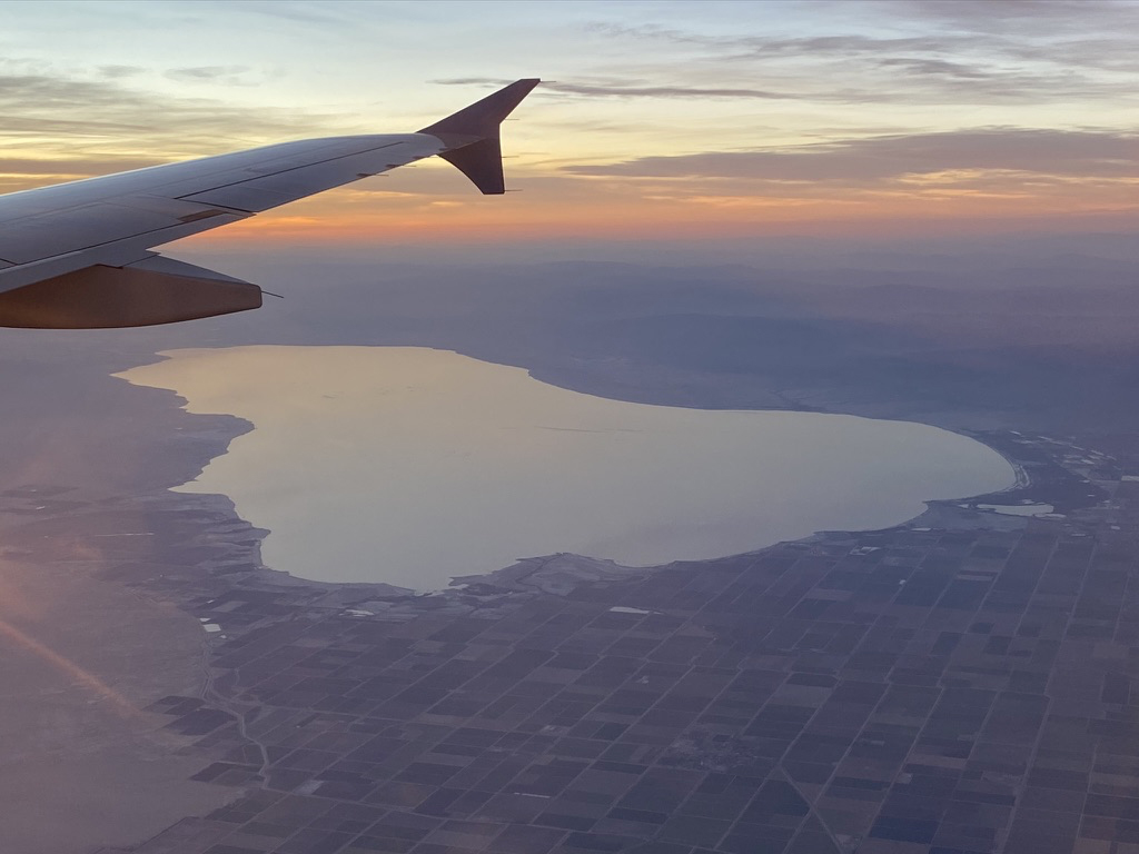
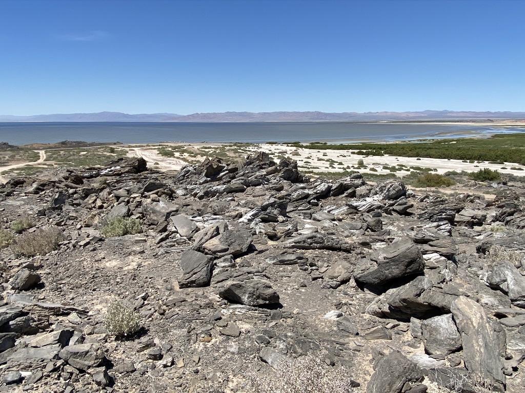
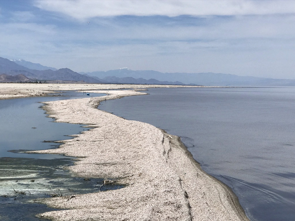
The Colorado Desert is a small province in Southern California located in the rift valley the San Andreas Fault the Salton Sea Trough (Figure 217). The province is low desert relative to the surrounding high ranges on either side. The Little San Bernardino Mountains, Orocopia Mountains, and Chocolate Mountains border the east side of the valley (the western border escarpment of the Mojave Desert Province). The north end of the province is the Coachella Valley, the southern end is the Imperial Valley that encompasses the Salton Sea extends south to the Gulf of California (Figure 218 to 219).

The Salton Sea has flooded and dried up many times in the recent geologic past. Sediments filling the lower Colorado River Drainage have diverted Colorado River away from the Gulf of California and into the Salton Basin. Ancient Lake Cahuilla formed and persisted from around 700 A.D. to about 1700 A.D. The modern Salton Sea formed in 1905 when Colorado River flood waters broke through irrigation control levees, allowing water to flow into the basin freely for 18 months. The lake is now supplied by irrigation drainage waters. Anza Borrego State Park is the largest state park in the United States (Figures 220 to 221).
Colorado Desert is a low region east of the Peninsular Ranges and north of the Gulf of California.
Fig. 217. Colorado Desert is a low region east of the Peninsular Ranges and north of the Gulf of California.
Desert fan palms grow near springs along the San Andreas Fault scarp in the Coachella Valley Preserve near Palm Springs, CA. View looking south along the Coachella Valley towards the Salton Sea basin. Anza Borrego Desert in eastern San Diego County is part of the Colorado Desert Province.
Ocotillo and barrel cactus are common plants in the natural cactus gardens in the Anza Borrego Desert. cactus gar
Fig. 218. Desert fan palms grow near springs along the San Andreas Fault scarp in the Coachella Valley Preserve near Palm Springs, CA. Fig. 219. View looking south along the Coachella Valley towards the Salton Sea basin and Imperial Valley region. Fig. 220. Anza Borrego Desert in eastern San Diego County is part of the Colorado Desert Province. Fig. 221. Ocotillo and barrel cactus are common plants in the natural cactus gardens in the Anza Borrego Desert.
Aerliner view of the Salton Sea (from the south) and the agricultural region of the Imperial Valley. California Energy Generation plant produces electricity for geothermal energy associated wit the Salton Buttes Volcanic Field at the south end of the Salton Sea area. Obsidian Butte in the Salton Buttes Volcanic Field on the south shore of the Salton Sea.
Fishbones Beach on the western shore of the Salton Sea with snow-capped peaks of San Jacinto (left) and San Gorgonio (center) in the distance.
Aerliner view of the Salton Sea (from the south) and the agricultural region of the Imperial Valley.

California Energy Generation plant produces electricity for geothermal energy associated wit the Salton Buttes Volcanic Field at the south end of the Salton Sea area.

Lava flows on Obsidian Butte in the Salton Buttes Volcanic Field on the south shore of the Salton Sea. Fishbones Beach on the western shore of the Salton Sea with snow-capped peaks of San Jacinto (left) and San Gorgonio (center) in the distance.
https://gotbooks.miracosta.edu/geology/regions/colorado_desert.html    9/1/2022
Return to home page.
Next Page arrow