San Pasqual Valley near Rancho Bernardo and Escondido, California |
|
A1
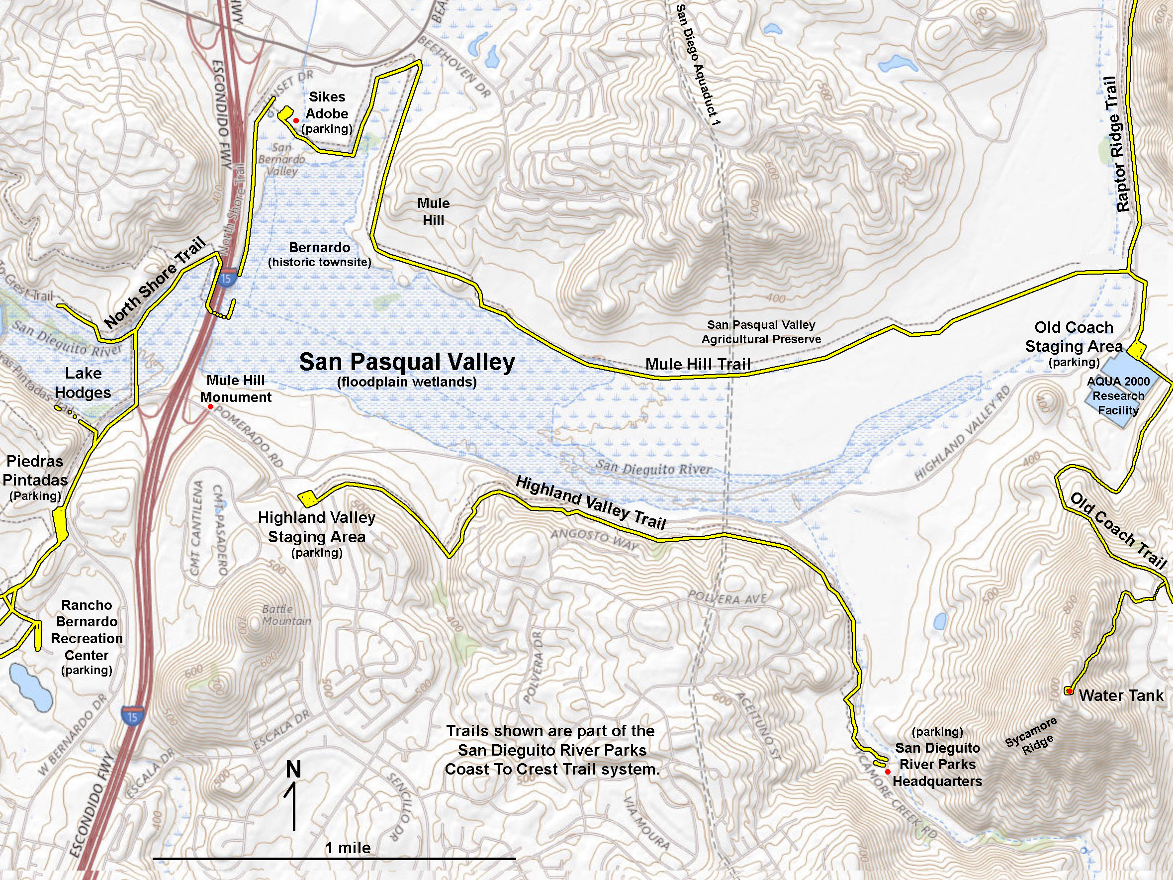
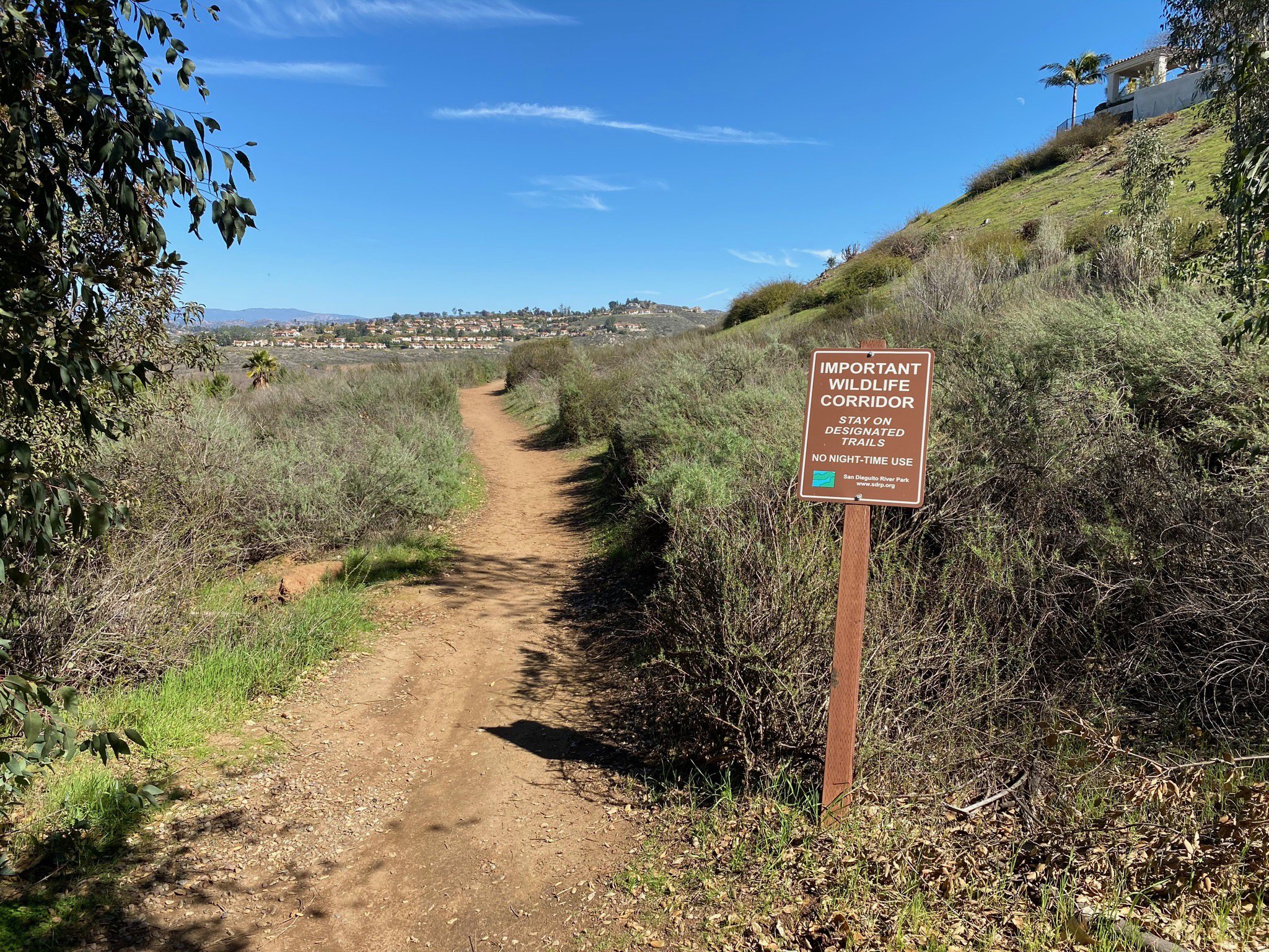
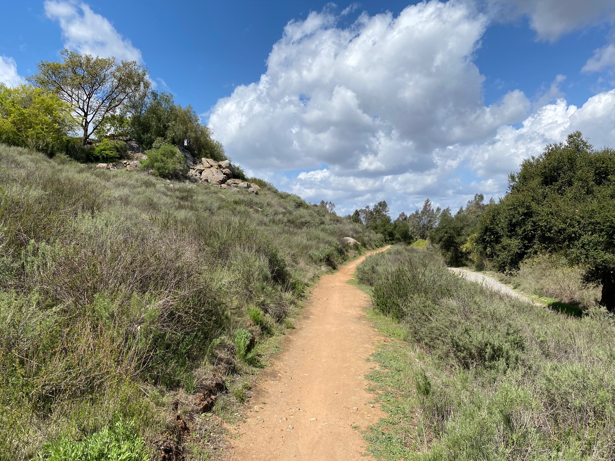
The Highland Valley Trail follows the south side of San Pasqual Valley for about 2 miles (Figure 1). The photo gallery below provides highlights of scenery, ecology and geologic features along the trail. The photo tour below starts at the Highland Valley Trail Staging Area (located near the intersection Highland Valley Road and Pomerado Road, near Interstate 15). The trail roughly follows Highland Valley Road before turning into Sycamore Canyon. The trail ends near a parking area for the San Dieguito River Parks Headquarters.
The trail is an easy path to walk, but be aware the route is very popular for mountain bikers. A mild problem with this hike is the distant highway noise, but as you hike farther east along the trail, the volume of the sound diminishes, especially when you turn the bend and continue into Sycamore Canyon. Despite the noise, the scenery is fantastic, especially if you like large boulder-covered landscapes and views of the scenic valley and surrounding mountain peaks. This is an excellent trails to see spring wildflowers of the coastal sage plant community.
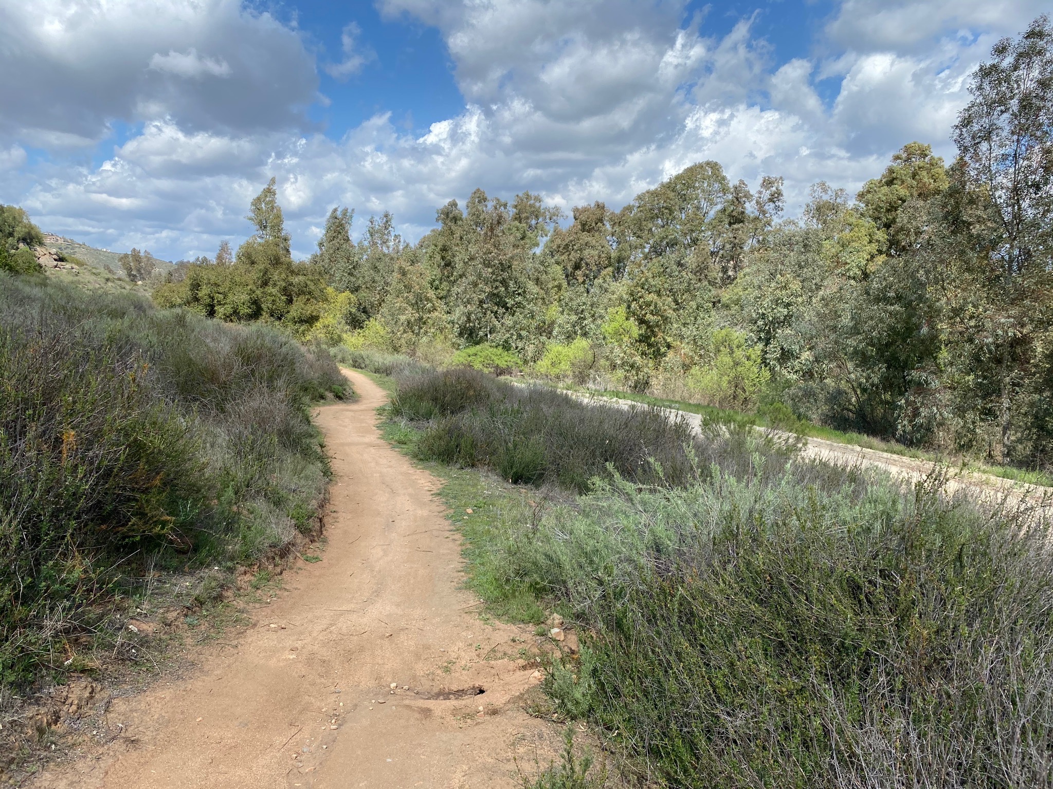
The trail passes along hillsides covered with coastal sage scrub and mixed oak and grassland habitats. Willow- and sycamore-dominated riparian habitat occurs along the streams. Along the trail you can see trees and stumps burned by the 2007 Witch Creek Fire that burned through the area. Fortunately several areas of the oak forest survived the fire along the trail and with the assistance of many people and organizations, the remaining wild lands ecology is being slowly restored. |
Click on images for a larger view. |

Fig. 1. Map of trails in the San Pasqual Valley showing the location of the Highland Valley Trail. |
A2
Following the Highland Valley Trail, West To East
The photo gallery below roughly follows the Highland Valley Trail starting at the east end at the Highland Valley Trail Staging area (Figures 2 to 5). The trail starts by basically cuts along the southern slope of the San Pasqual Valley, passing around an active Christmas Tree farm and plant nursery (Figures 6 to 10). |
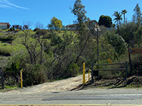
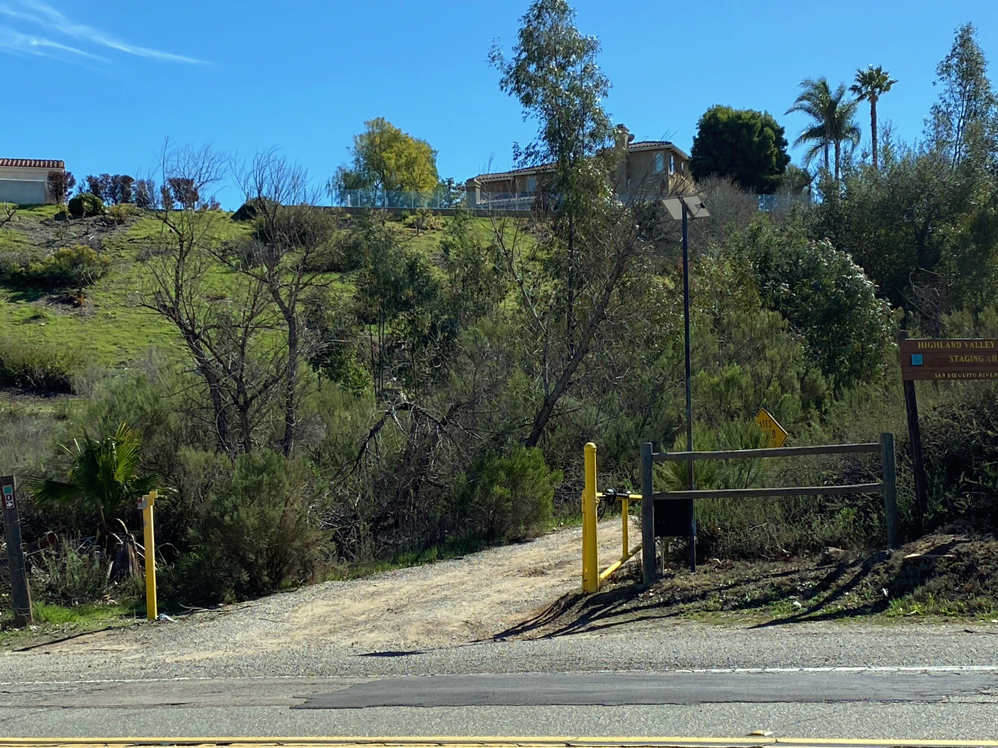
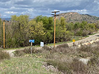
Fig. 2. Entrance to staging area on Highland Valley Rd. |
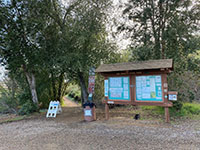
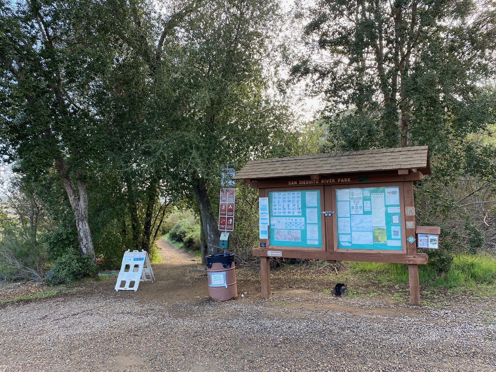
Fig. 3. Highland Valley Trail Staging Area kiosk. |
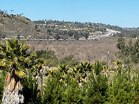
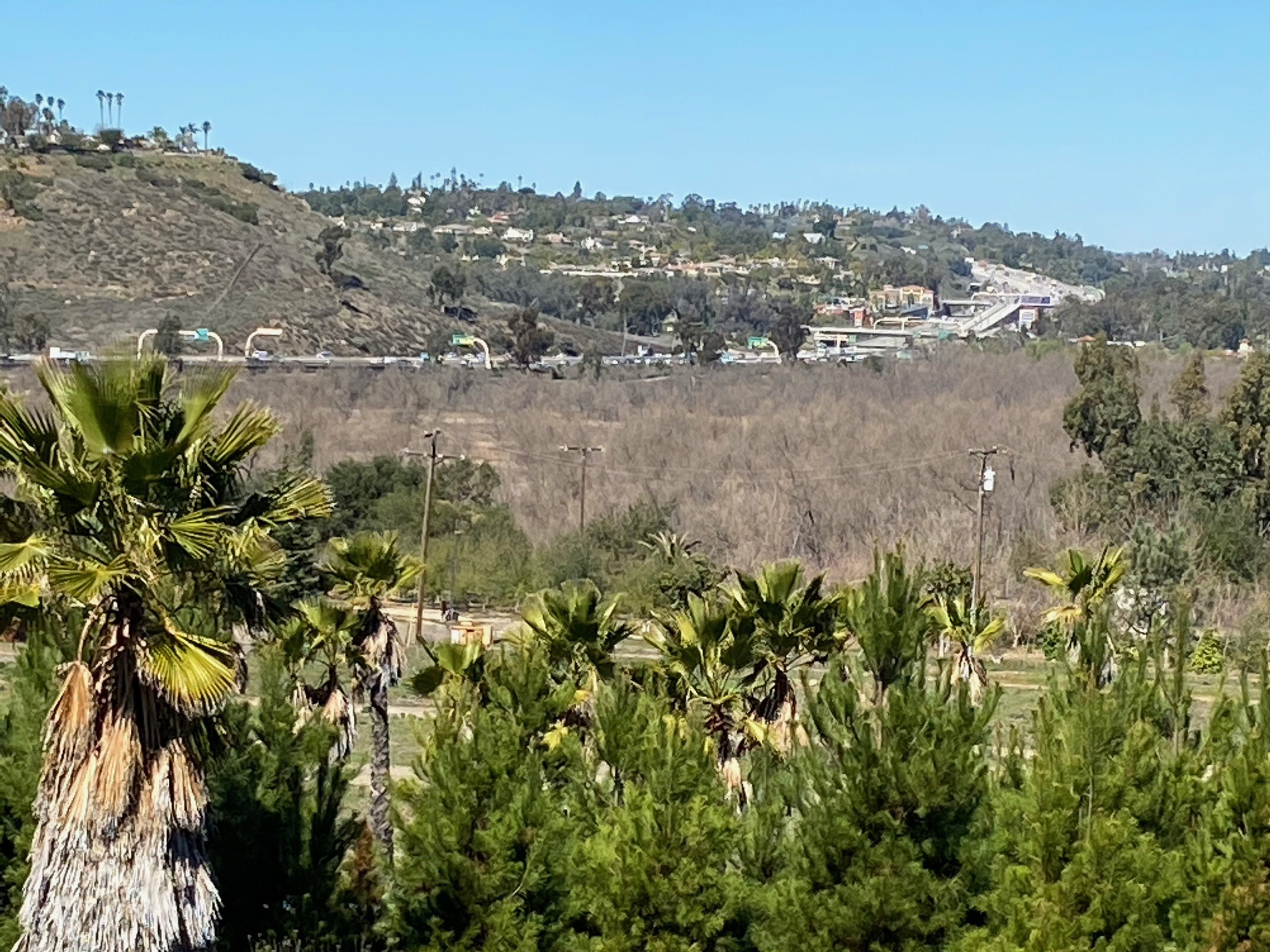
Fig. 4. View of Interstate 15 from the staging area |

Fig. 5. Highland Valley Trail near the trailhead parking. |
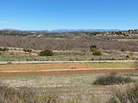
Fig. 6. View of the wetlands along the San Dieguito River. |
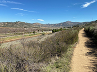
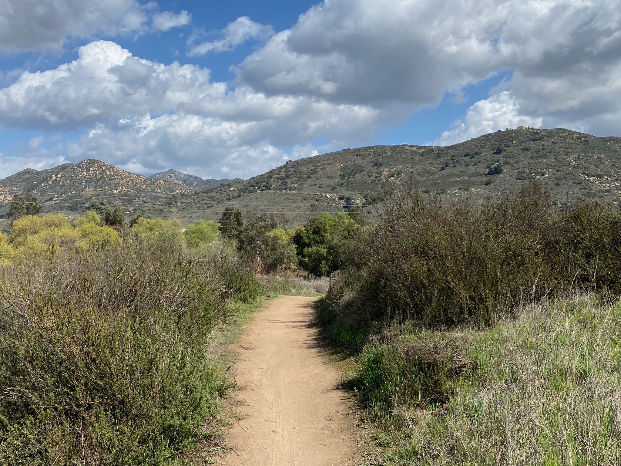
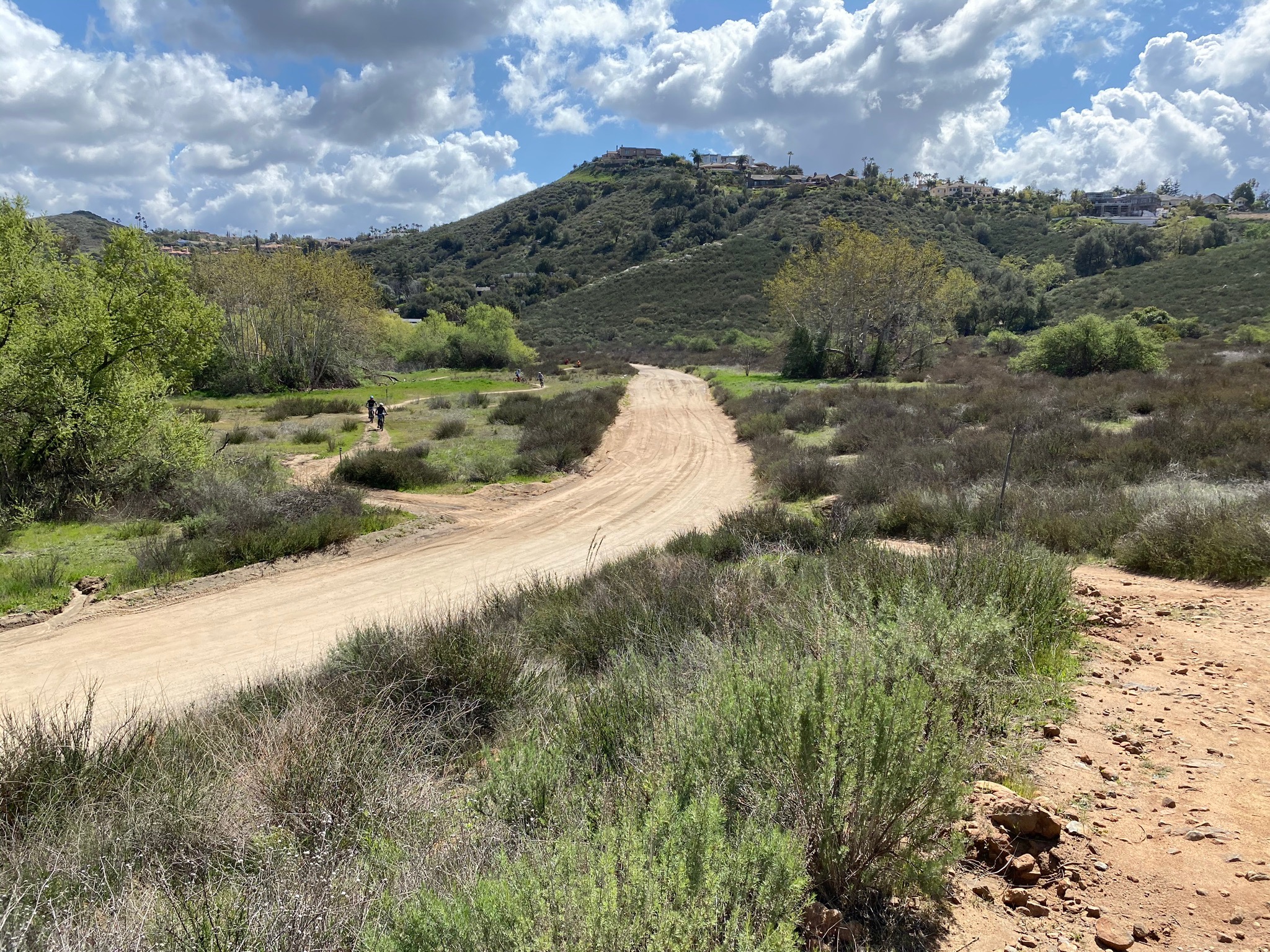
Fig. 7.View looking east along the Highland Valley Trail. |
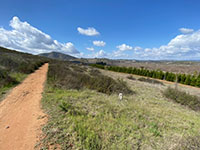
Fig. 8. View west along trail toward Bernardo Mountain. |
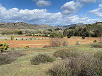
Fig. 9. Christmas tree farm along the trail. |
|
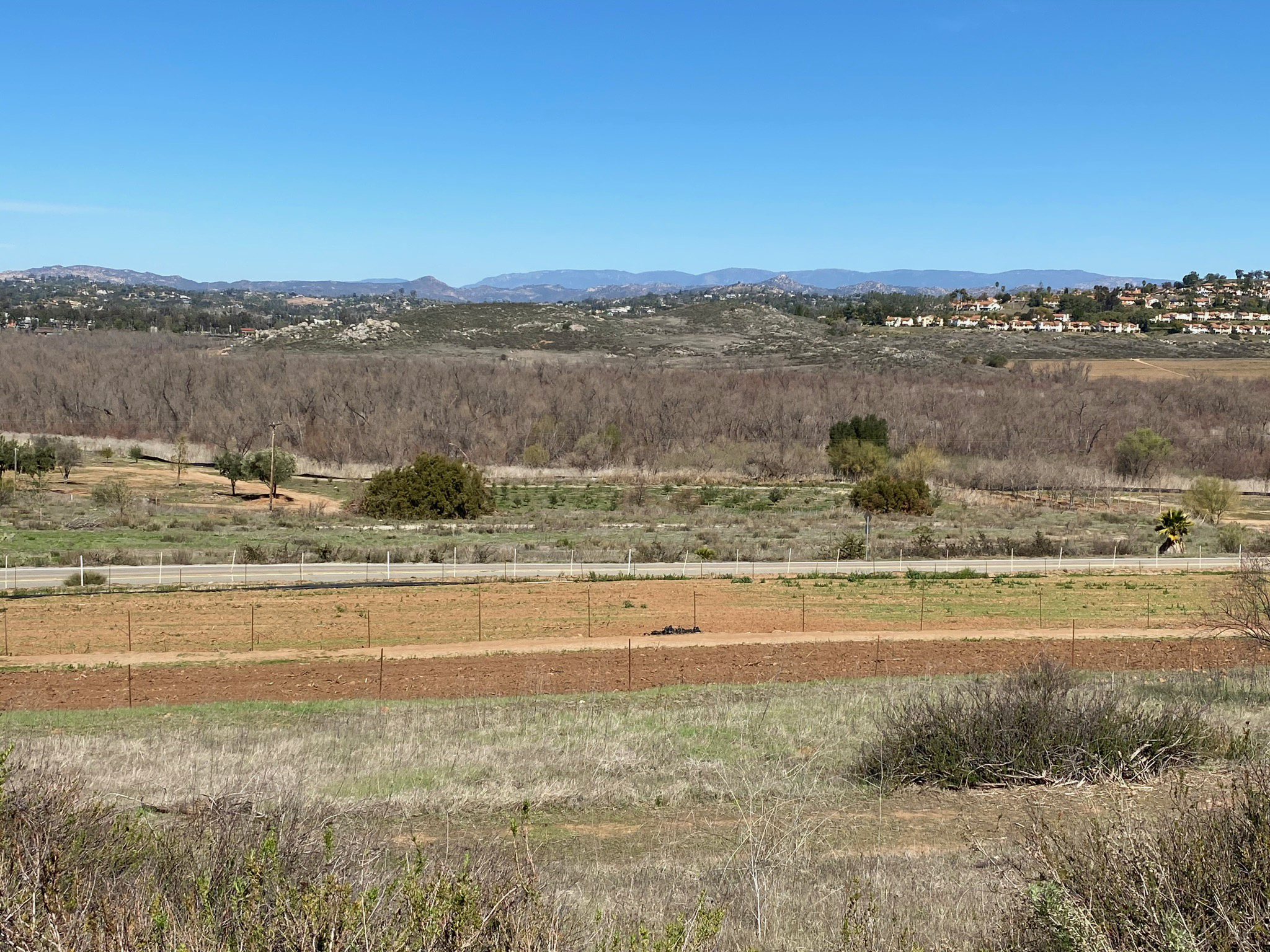
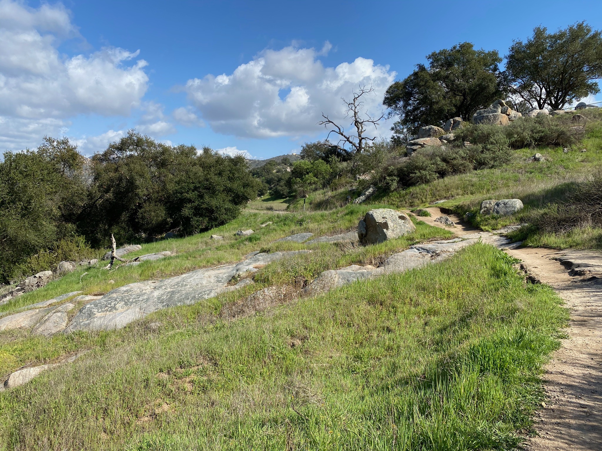
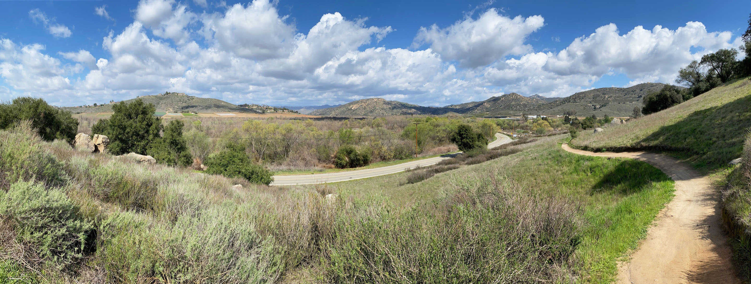
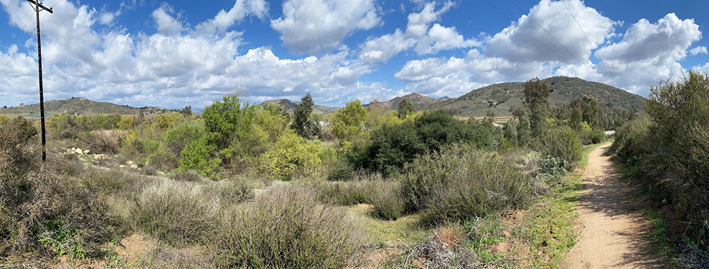
| Fig. 10. Panoramic view of the western end of San Pasqual Valley near the Christmas tree Farm. Bernardo Mountain is to the left. Mule Hill is to the right of Interstate 15. The distant ridgeline of Palomar Mountain rises above and beyond the Escondido Mesa area near the center. Starvation Mountain is on the right above the trail. |
A3
Entering A Land Of Large Boulders
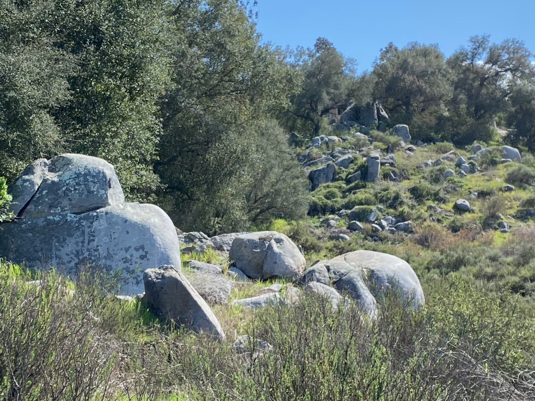
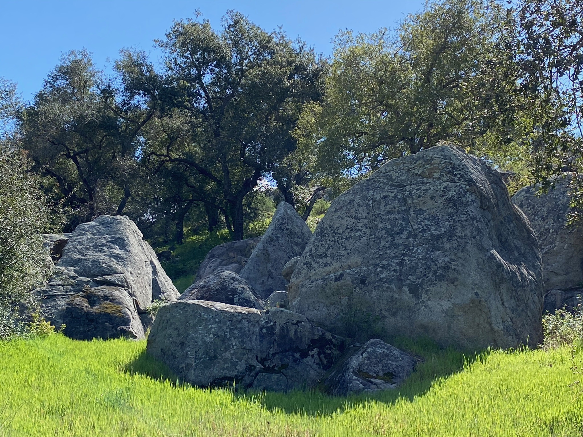
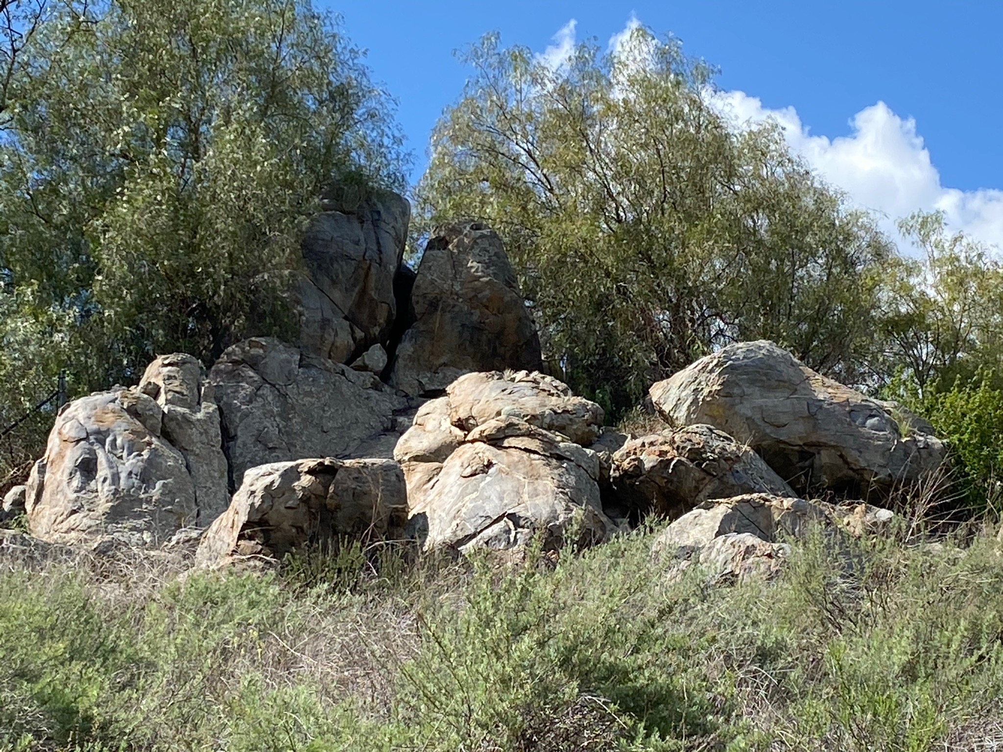
Among the attractions about this hike, there are many massive boulders amids the oak forest, grasslands, and sagebrush along the trail. The rocks themselves preserve an interesting history of their igneous origins and how weathering and erosion, including processes involving many wildfires over thousands of years, have gradually shaped the boulders and the landscape along the valley.
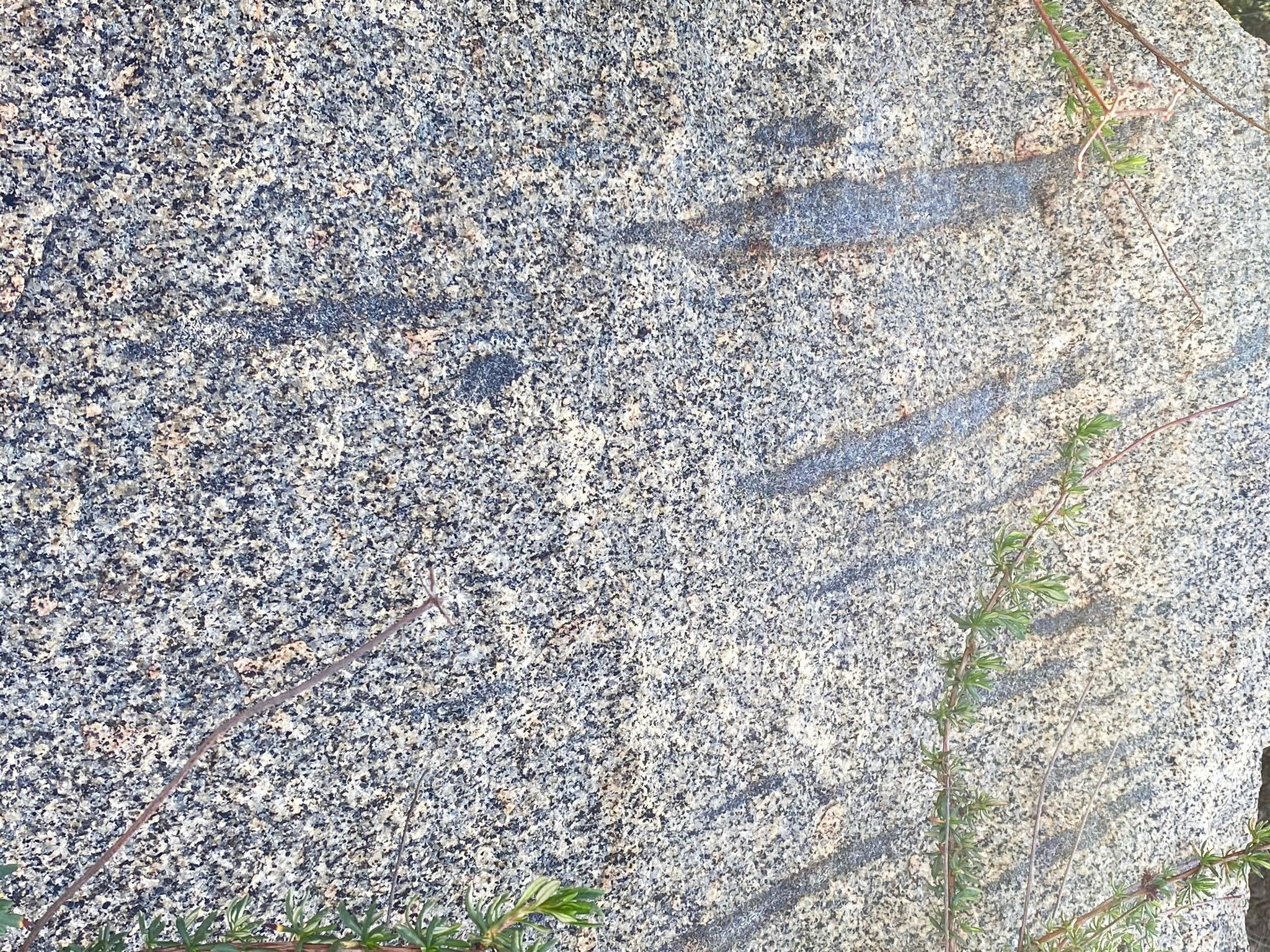
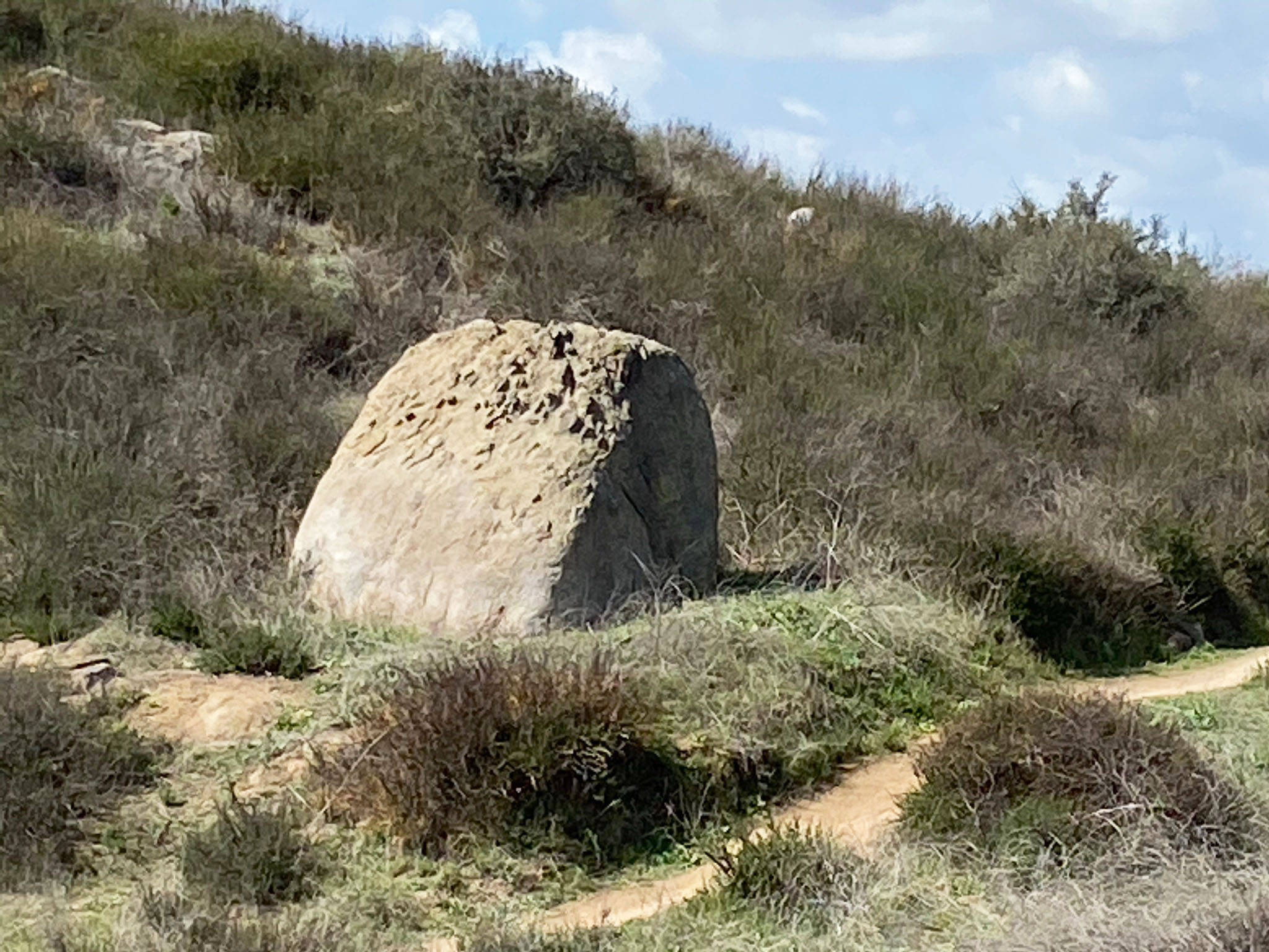
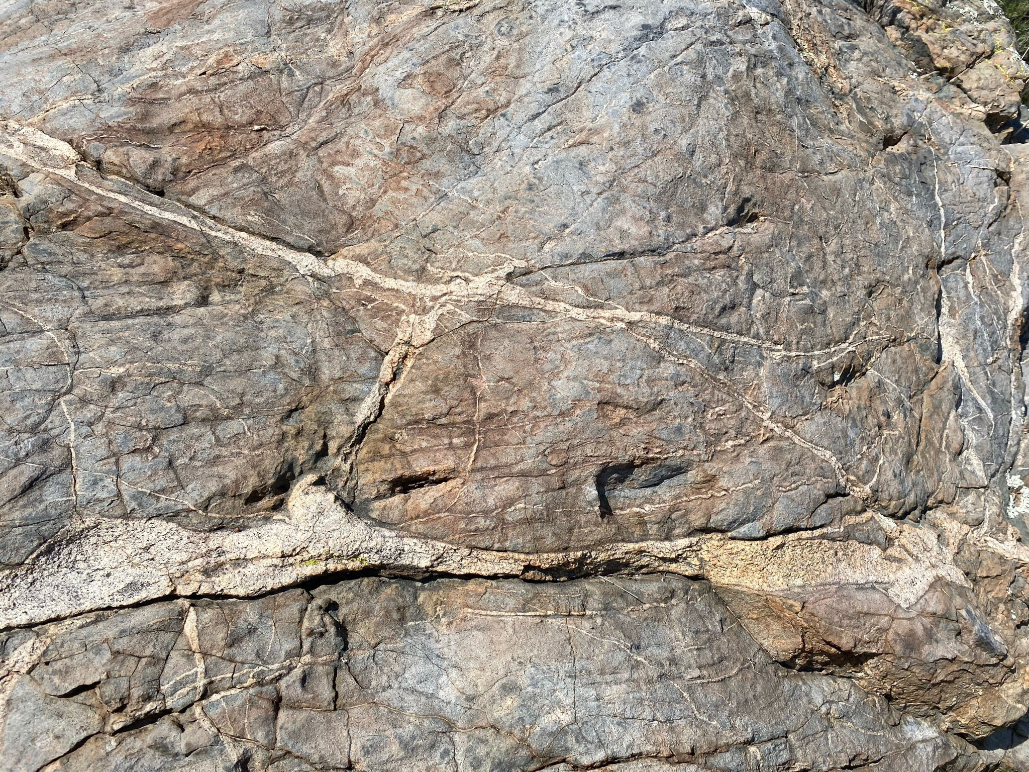
Figure 11 illustrates a boulder that has been split, possibly by the roots of a plant that once expanded in a crack as it grew and absorbed water from infrequent rains. Many split boulders similar to this once can be observed along the trail.
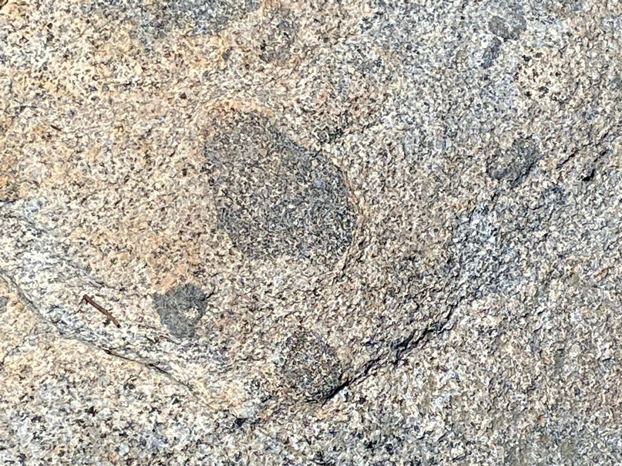
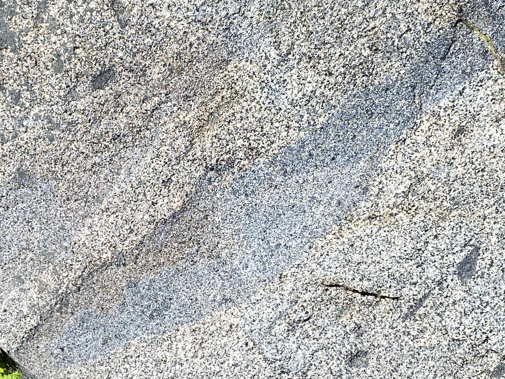
The rock itself is composed of a type of granite called tonalite, an igneous rock that formed when massive bodies of molten material rose and crystallized in massive plutons of an ancient volcanic arc that existed here in Cretaceous time, roughly 120 to 100 million years ago. These igneous bodies intruded more ancient seafloor rocks. Fragments of these older rocks are preserve as inclusions (also called xenoliths, meaning foreign rocks). These rocks appear as dark patches of rock embedded in the younger light-colored tonalite.
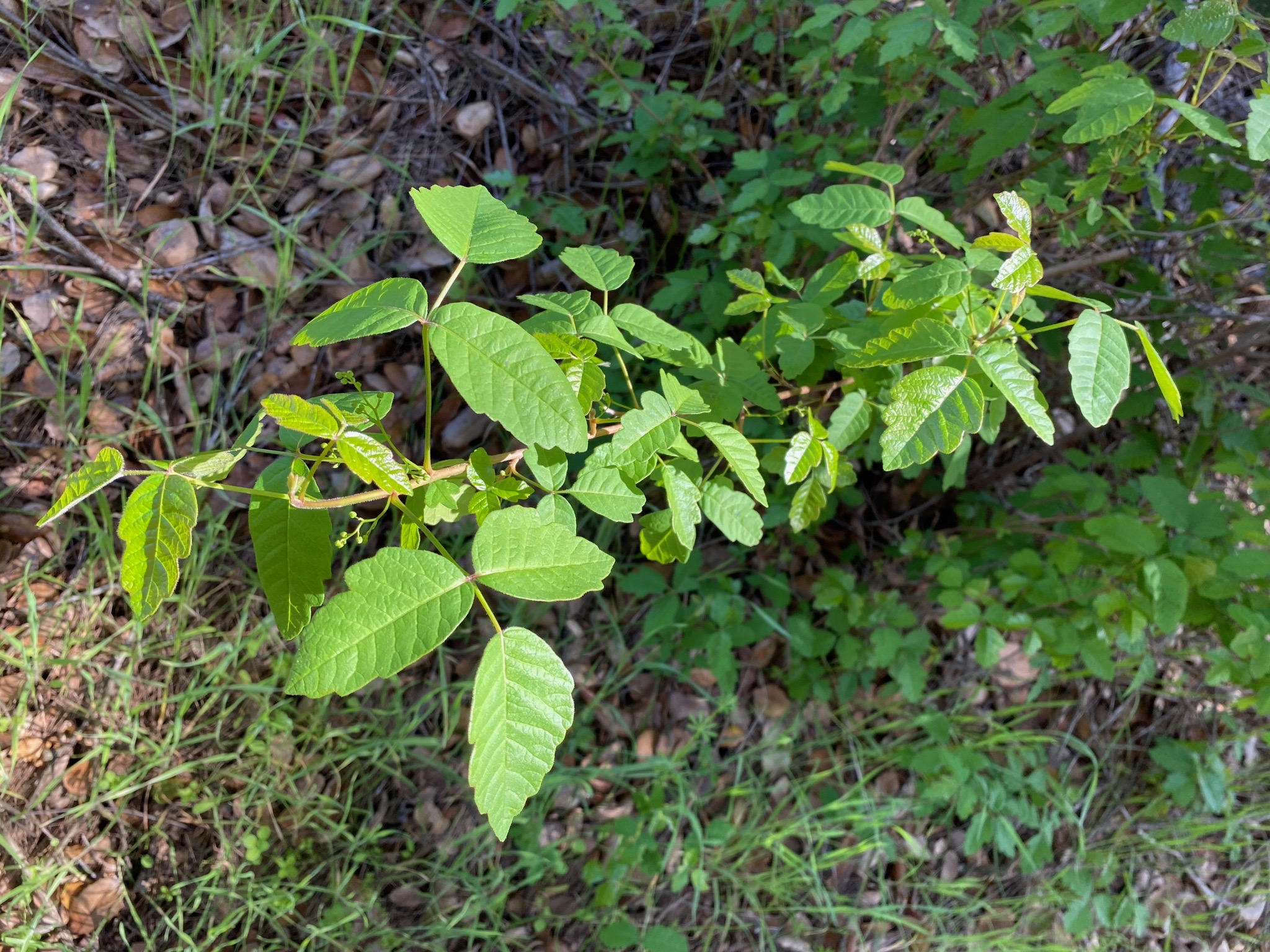
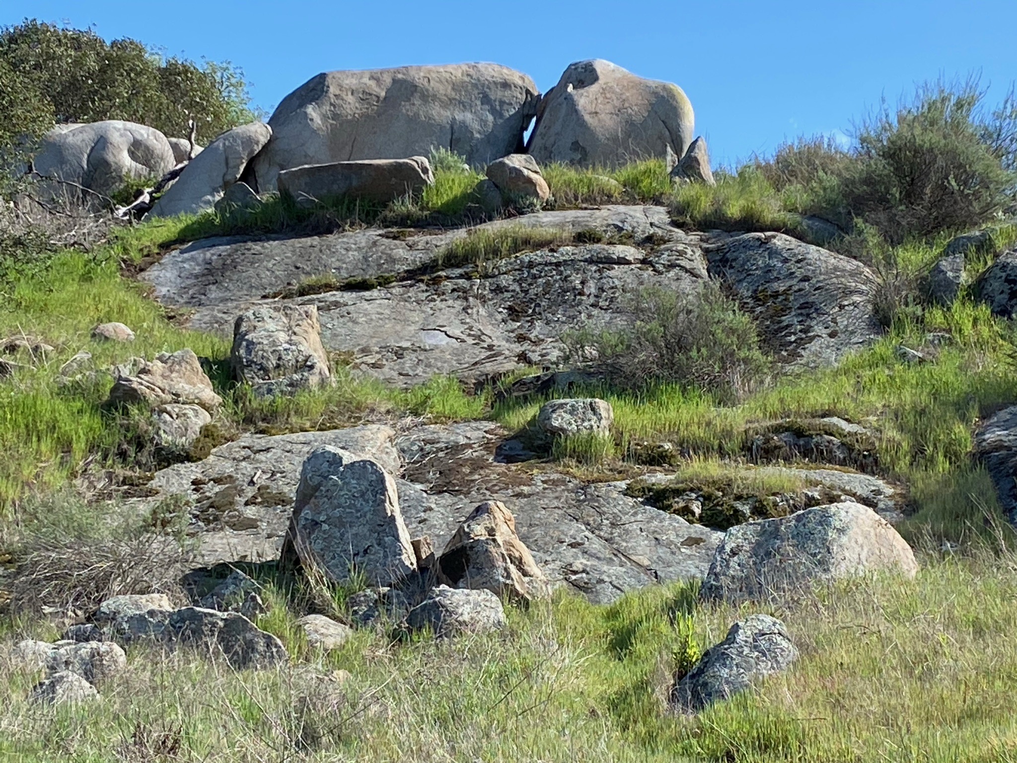
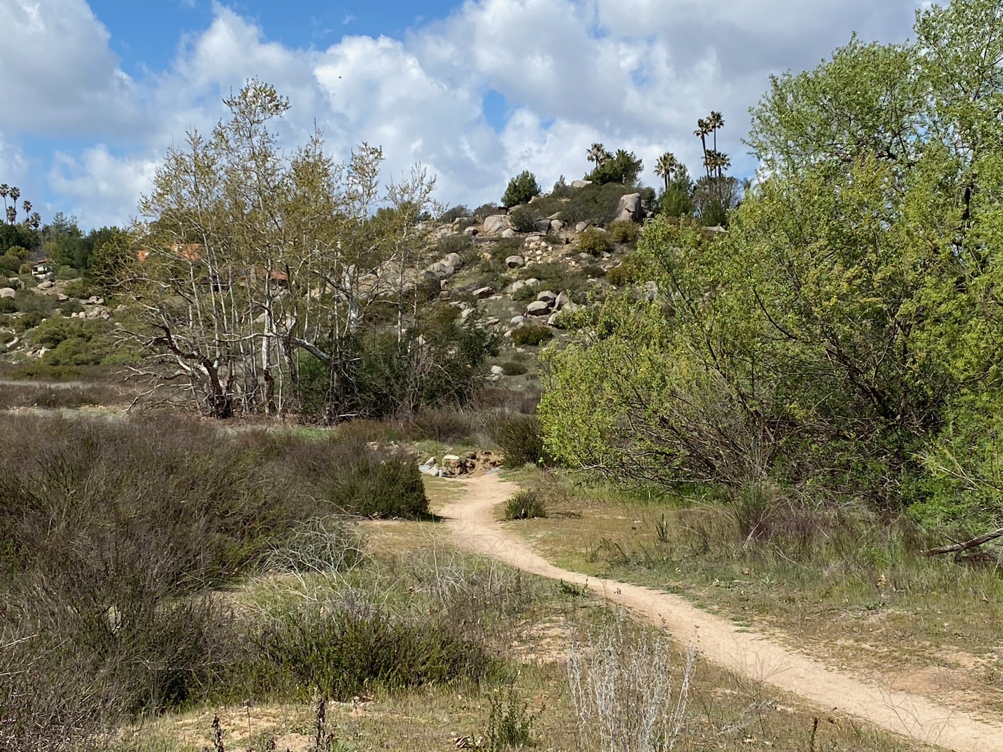
Beyond the the Christmas Tree farm, the character of the hiking trail changes, and the landscape becomes more wild. The trail dips into a small canyon where it crosses a bridge over spring-fed stream (Figures 12 to 17). Be aware of poison oak along the trail. Beyond the stream, large boulders become more abundant along the trail (Figures 18 to 28). |
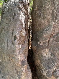
Fig. 11. Split boulder of tonalite (a granitic rock) that includes dark inclusions. |

Fig. 12. Zoom view to east of Starvation Mountain. |

Fig. 13. Highland Valley Trail bears left into forested area. |
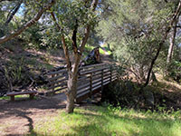
Fig. 14. Bridge crossing stream in oak forest area. |

Fig. 15. Poison oak: "Leaves of three, let it be!" |
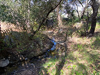
Fig. 16. Spring-fed stream in oak forest. |
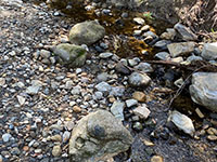
Fig. 17. Gravel bar beneath the bridge displays a mix of rocks. |

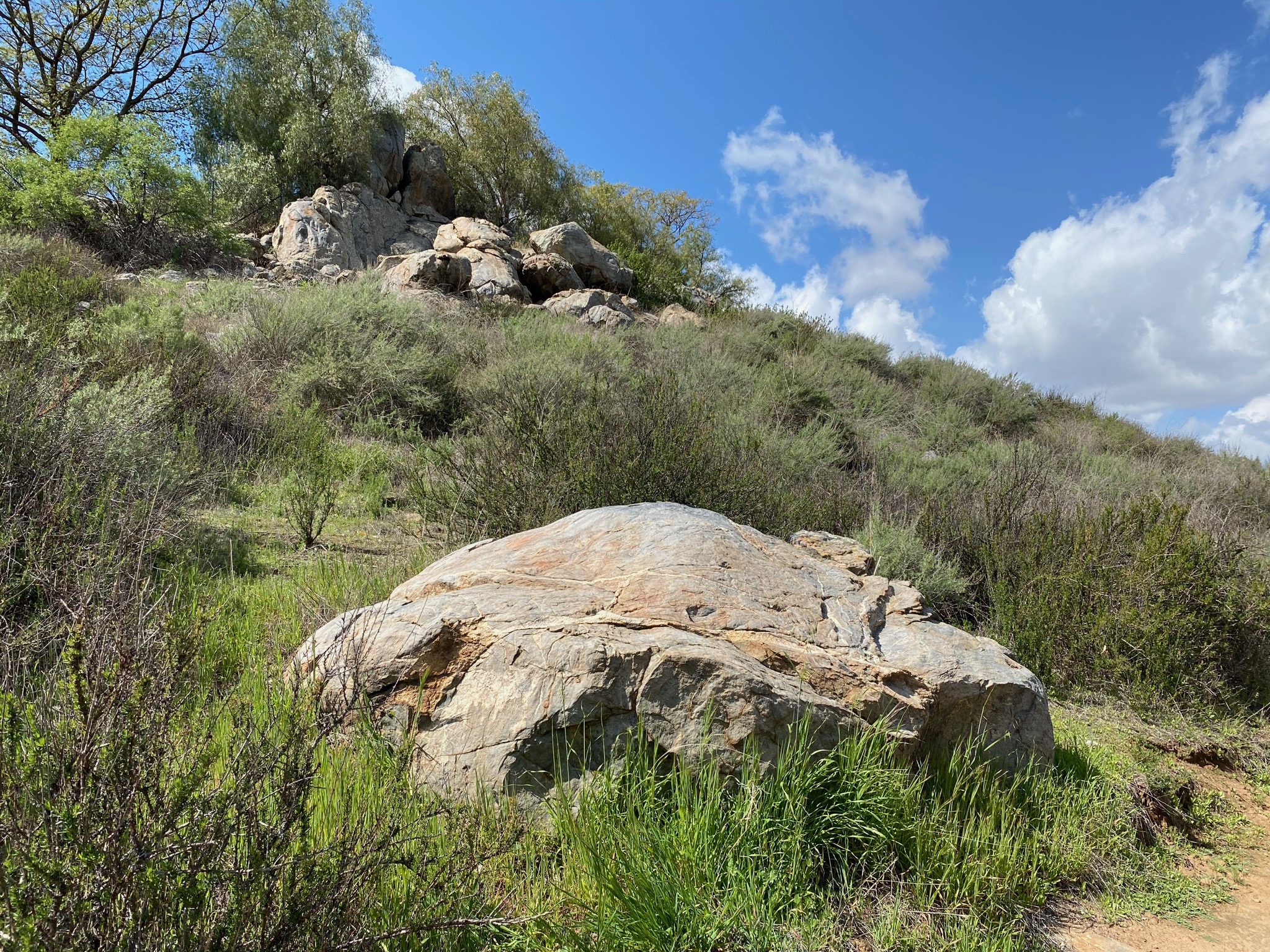
Fig. 18. Boulders along the trail. |
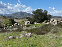
Fig. 19. Boulders on a hill with Bernardo Mountain. |
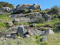
Fig. 20. More boulders and outcrops along the trail. |
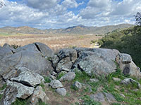
Fig. 21. More boulders and outcrops along the trail. |
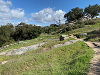
Fig. 22. Outcrop next to a small spring-fed stream |
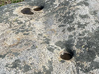
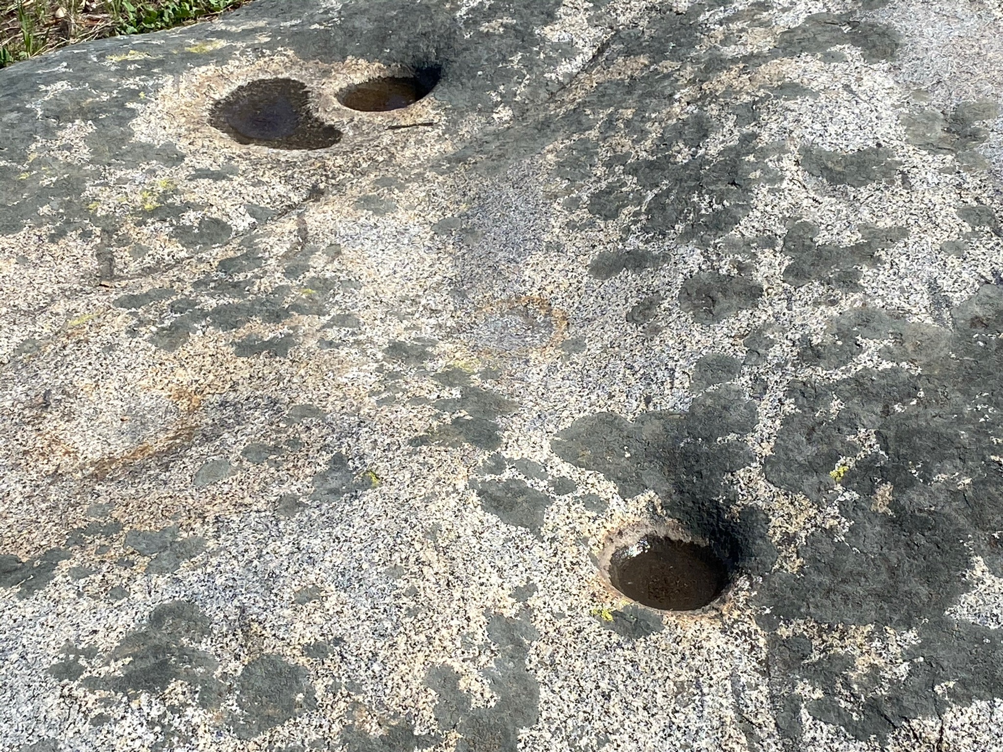
Fig. 23. Indian mortar grinding holes on a granite outcrop. |
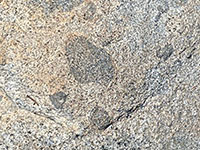
Fig. 24. Dark gabbro inclusions in granite (tonalite). |
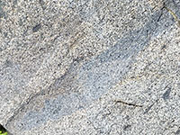
Fig. 25. A partially melted and stretched inclusion in granite. |
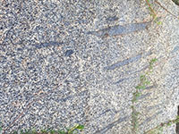
Fig. 26. Stretched inclusions in the granite host rock. |
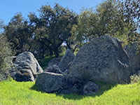
Fig. 27. More boulders and outcrops along the trail. |
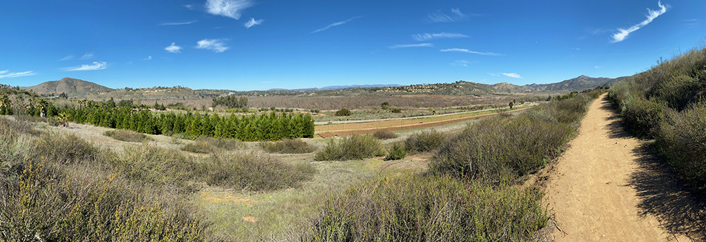
|

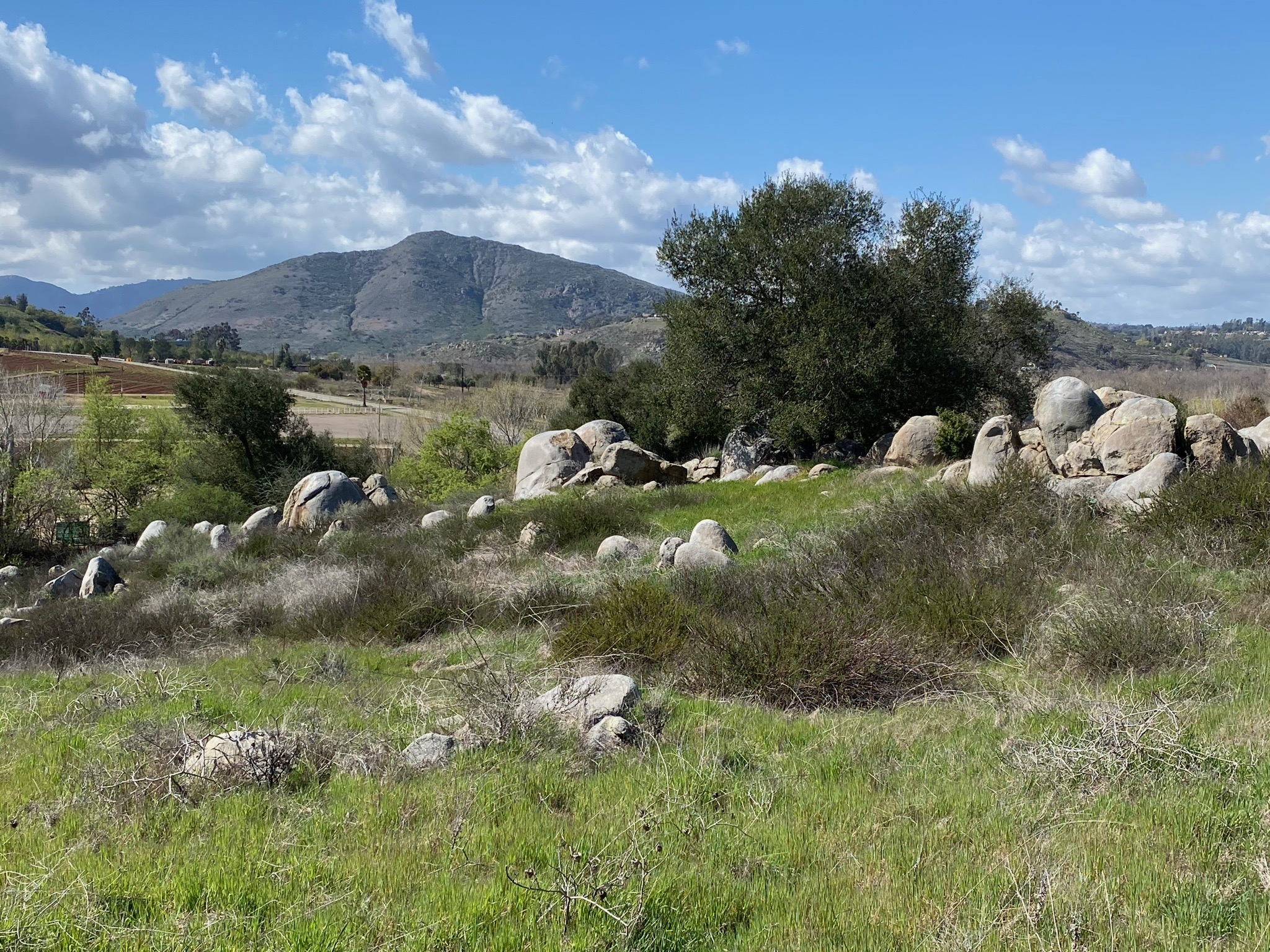
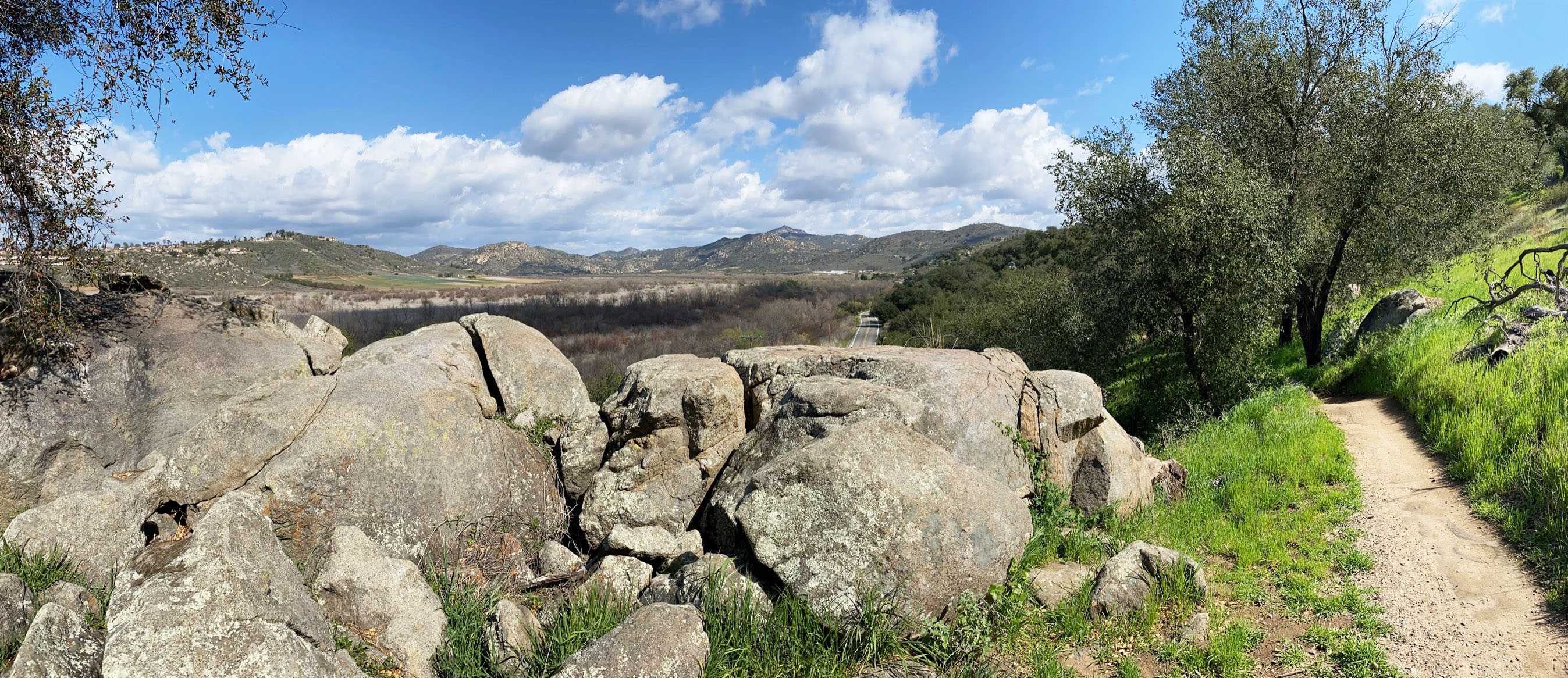
| Fig. 28. Panoramic view looking east along the San Pasqual Valley from near boulder overlook area at a high point along the Highland Valley Trail. |
A4
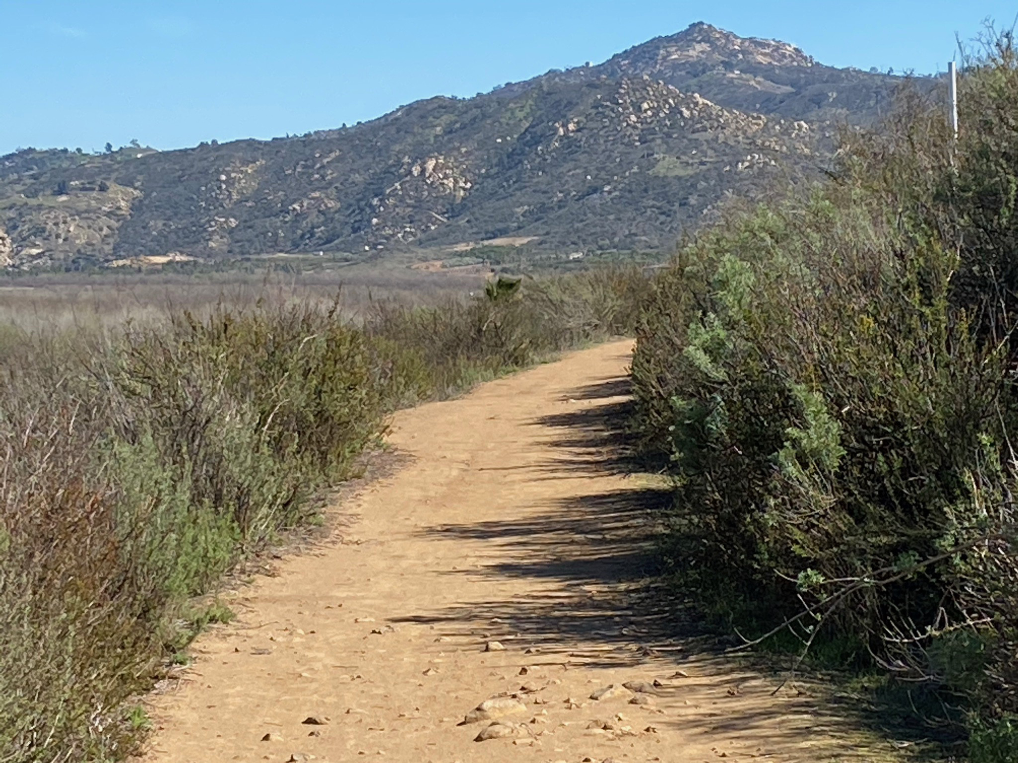
| Figure 28 shows a panoramic view of the San Pasqual Valley from a high point along the trail. East of the high point, the trail passes through rolling grasslands and coastal sage and patches of oak forest that survived the 2007 Which Creek Fire (Figures 29 and 37). It is easy to spot the remains of charred tree stumps along the trail. More large boulders and outcrops appear along the trail, including a particularly large split boulder on the pedestal of a granite outcrop (Figure 32). From this section of the trail it is possible to get distant views of the granite boulder and outcrop-covered slopes of the distant peaks along Raptor Ridge, Starvation Mountain, and Sycamore Ridge that rise above the south side of San Pasqual Valley. |

Fig. 29. Looking east across grasslands along the trail. |
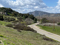
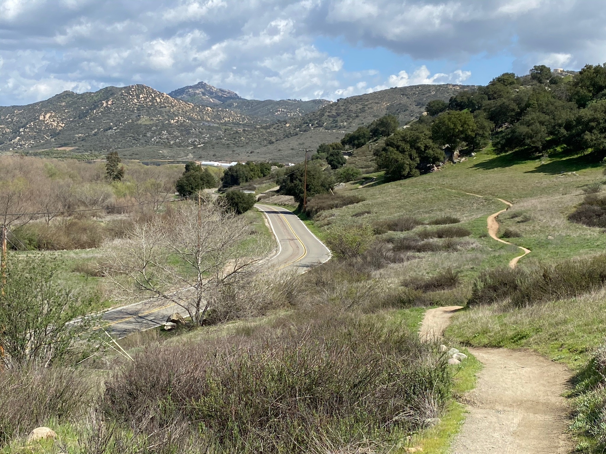
Fig. 30. View west along trail and Highland Valley Road |
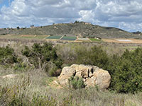
Fig. 31. Large boulder with agriculture fields in distance. |
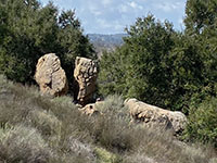
Fig. 32. Two-Faced Split Boulder. |
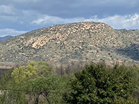
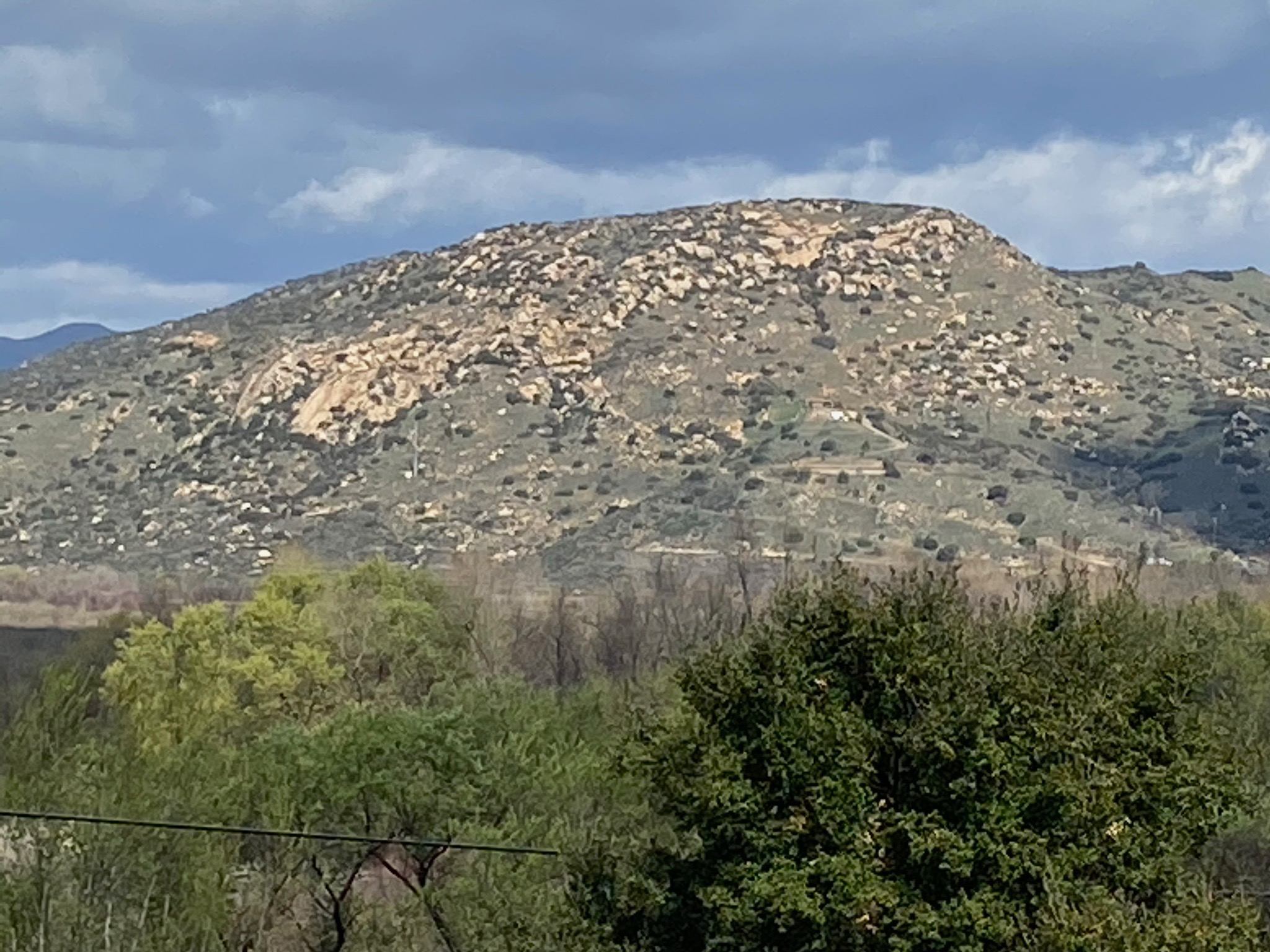
Fig. 33. Zoom view of Raptor Ridge. |
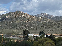
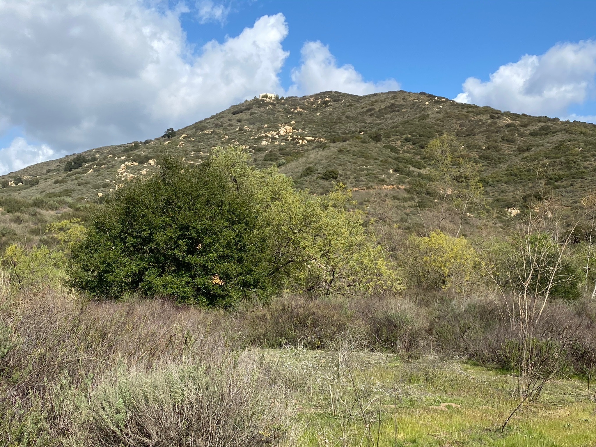
Fig. 34. Zoom view of Starvation Mountain (right). |

Fig. 35. Starvation Mountain and Sycamore Ridge (right) |
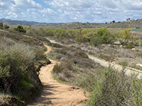
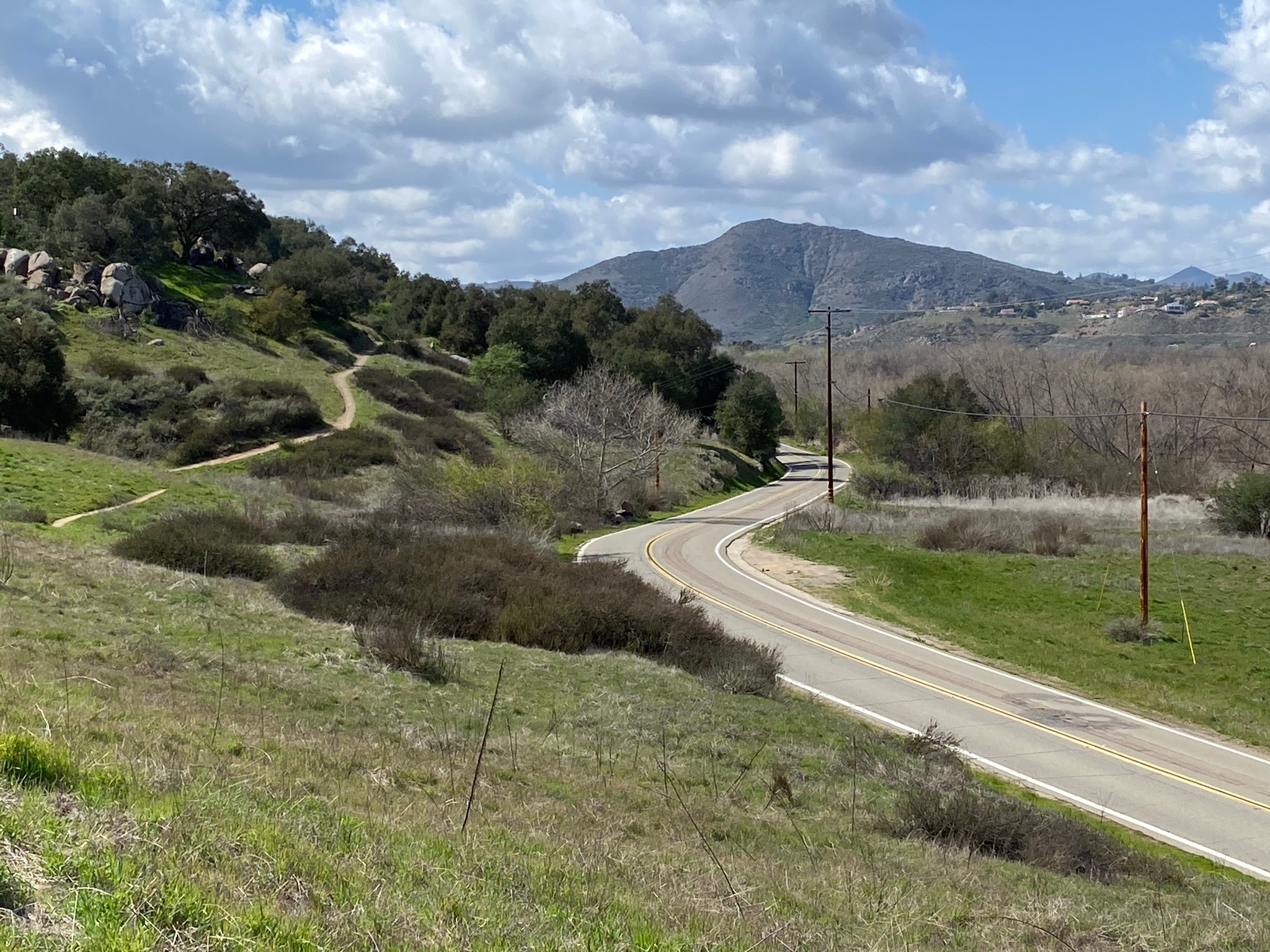
Fig. 36. Trail view west along Highland Valley Road. |
|

| Fig. 37. Panoramic view of San Pasqual Valley along the Highland Valley Trail through grasslands along Highland Valley Road. |
A5
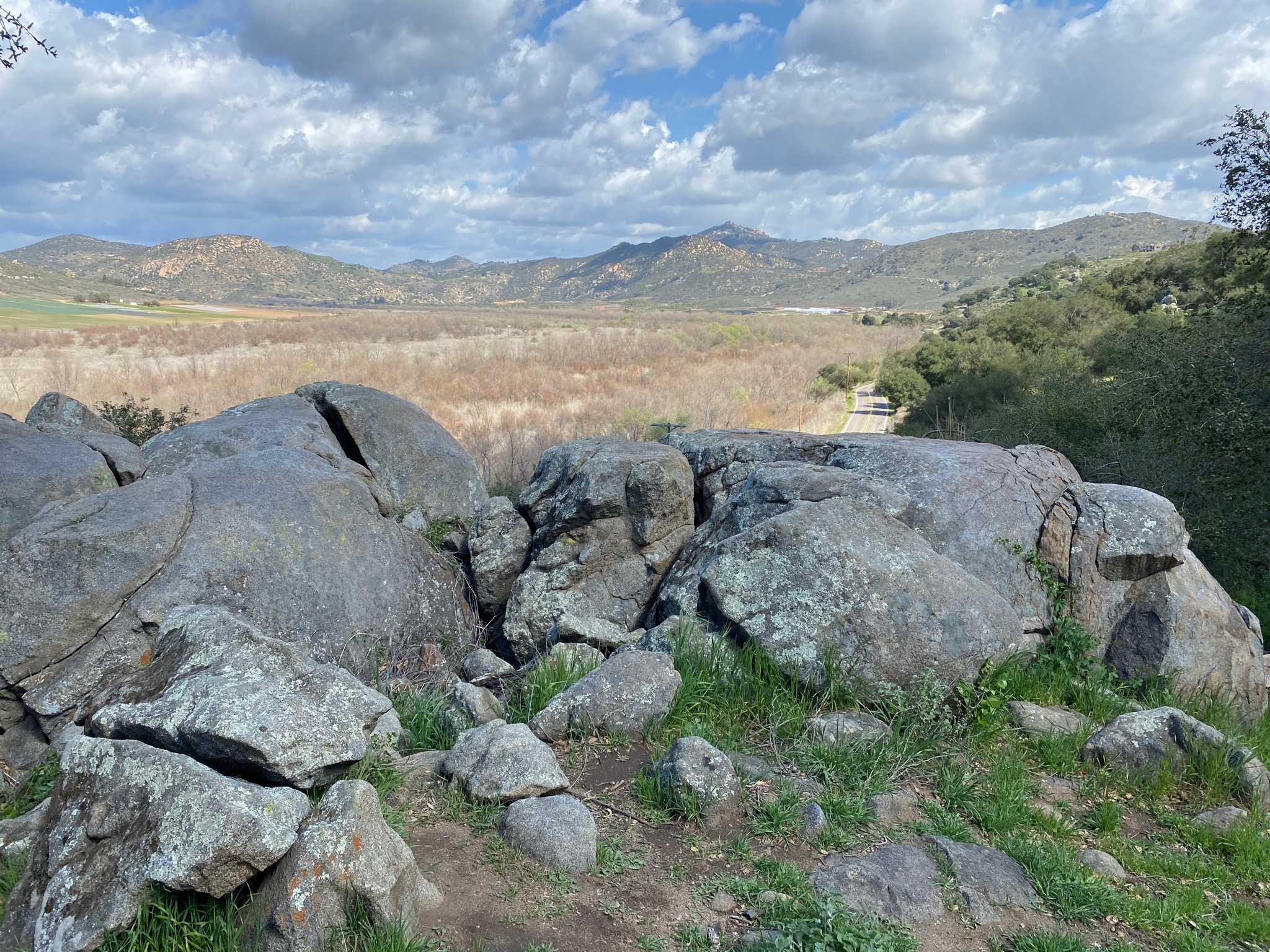
Sycamore Canyon
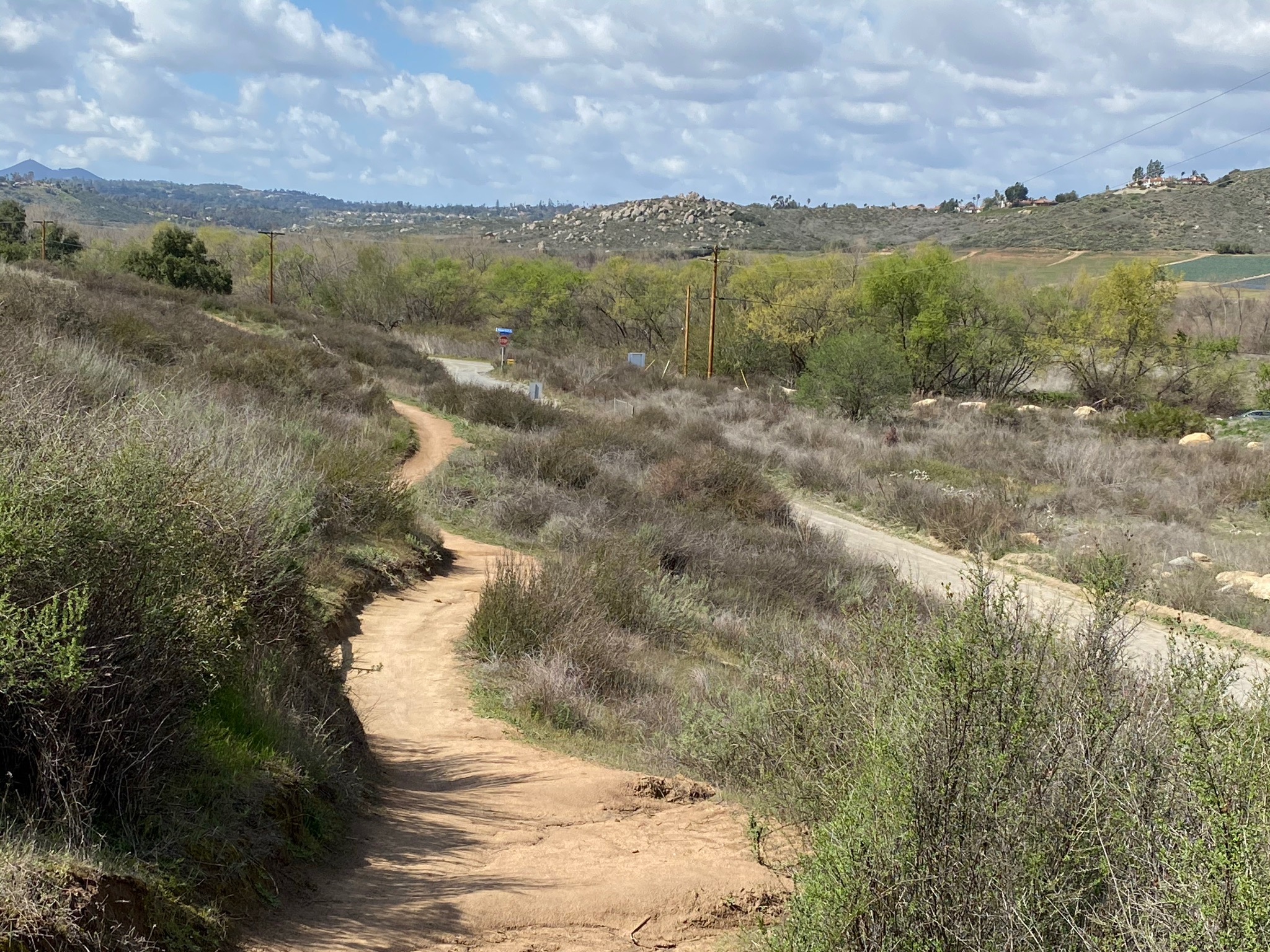
The Highland Valley Trail turns to the south and follows Sycamore Canyon Road to the south
for less than a mile where the trail ends at the headquarters for the San Dieguito River Park (Figures 38 to 54). Sycamore Canyon Road is unpaved and floods during wet periods, so be cautious. There is a parking area near the end of the trail. Figure 39 shows a massive boulder of the trail that is deeply pitted at its top and smoother toward its base. The boulder reflects how the landscape is slowly wearing away over centuries of drought, fires, and episodic rains that erode away the degraded granite bedrock. In many places in cuts along trails and roads in the area it is easy to see the deep weathering profile where wetting and drying cycles over time break down the bonds between crystals in the granitic bedrock. In many places, the degrade granite easily crumbles into sand when crushed in your hand.
Figures 40 to 42 show bedrock that is different than the granite (tonalite) exposed in most other area. There is a pocket of older rock along Sycamore Canyon that pre-dates the igneous plutons of Cretaceous age. Figure 41 shows a fine-grained bluish metamorphic rock called blueschist. In this image you can see where veins of white granite filled fractures (dikes) in the blueschist host rock. The blueschist may have formed from ancient seafloor sediments that experience great heat and pressure as it was carried downward in an ancient subduction zone. The large block of it here escaped being destroy or completely melted when the Cretaceous-age plutons formed in the region. It is a rock called a migmatite, a rock metamorphic rock that has undergone partial melting. Rocks like this are commonly found along the margins of large igneous intrusions.
The trail through Sycamore Canyon is relative quiet, so you will here the wind through the trees and birds chirping. The creek bed is lined with a recovering riparian habitat, dominated by sycamores and oaks. Unfortunately, non-native eucalyptus has taken over sections of creek bed (Figure 44).
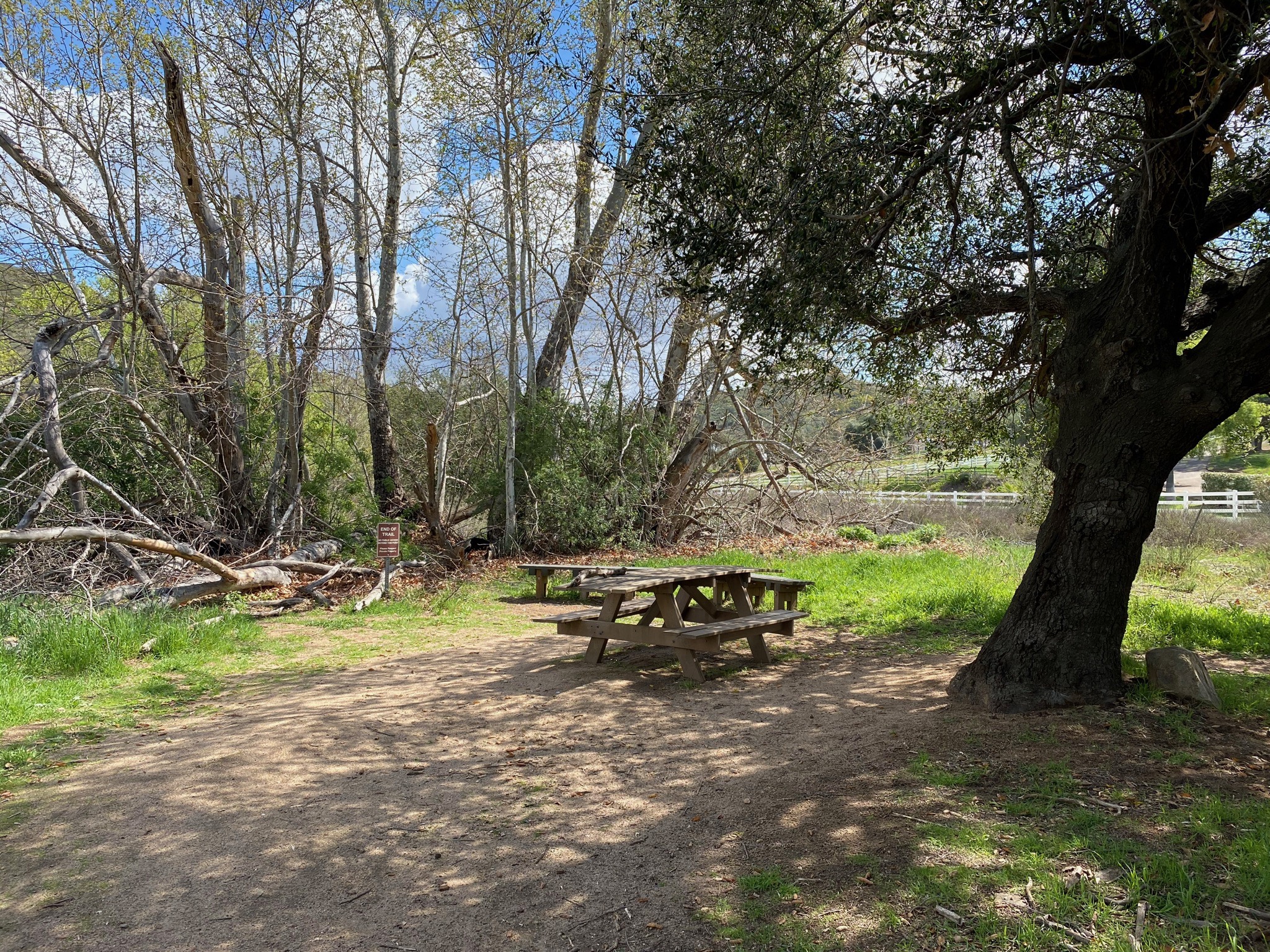
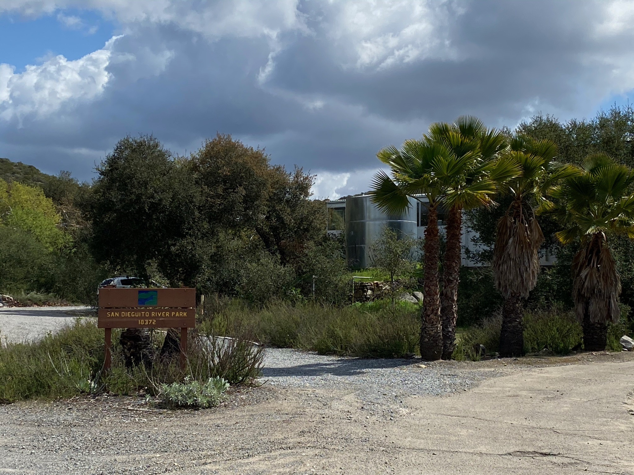
You will find a picnic table at the end of the trail. The headquarters with for the San Diego River Park is a short walk past the end of the trail.
|
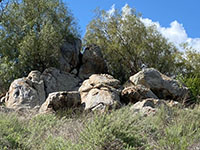
Fig. 42. Migmatite outcrop on slope above trail. |

Fig. 43. Highland Valley Trail along Sycamore Canyon Road. |

Fig. 44. Sycamore Creek is more like Eucalyptus Creek. |
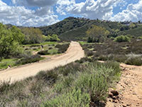
Fig. 45. Highland Valley Trail crosses Sycamore Creek Rd. |
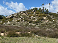
Fig. 46. Boulder covered slope in Sycamore Canyon. |

Fig. 47.Highland Valley Trail in Sycamore Canyon. |
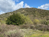
Fig. 48. Sycamore Ridge east beyond Sycamore Creek. |
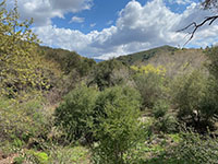
Fig. 49. Mixed riparian habitat along Sycamore Creek. |
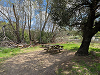
Fig. 50. Picnic table at end of Highland Valley Trail. |

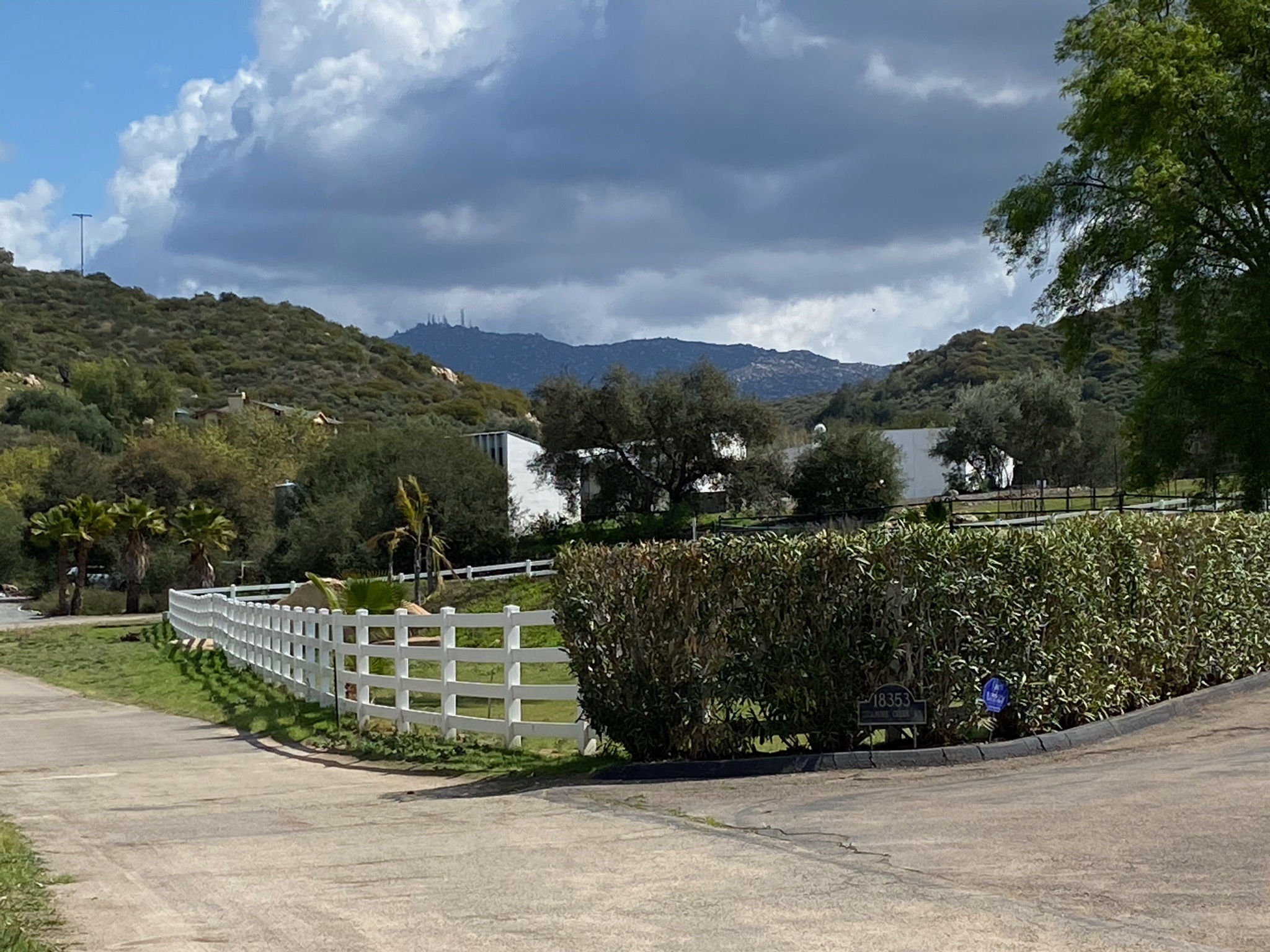
Fig. 51. San Dieguito River Parks Headquarters. |
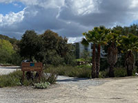
Fig. 52. San Dieguito River Parks Headquarters. |
Fig. 53. View of Woodson Mountain behind SDRPH. |
|
| Fig. 54. Panoramic view along lower Sycamore Creek showing the mixed riparian vegetation along the stream valley. |
A6
| San Dieguito River Park, Coast To Crest Trail And Other Trails At San Pasqual Valley: SDRP map and brochure, 2 p. (link) |
| https://gotbooks.miracosta.edu/fieldtrips/San Pasqual_Valley/Highland_Valley_Trail.html |
3/19/2021 |
|