Death Valley National Park map Scottys Castle Ubehebe Crater joshua trees Teakettle Junction Racetrack Playa Trona Towers click on map to start image tour South Panamint Playa North Panamint Playa Charcoal Kilns Skidoo mozaic Canyon Salt Creek Devils Cornfield Sand Dunes Old Stovepipe Wells Mesquite Flatt tarantulas live here Titus Canyon Rhayolite Mustard Canyon Furnace Creek Zabriskie Point Golden Canyon Gower Gulch 20 Mule Team Canyon Devils Golf Course/Salt Creek Dantes View Highway 178 boulder Split Cinder Cone Amargosa Valley Saratoga Springs Ibix Dunes Badwater Devils Golf Course/Salt Creek Click on map to see images Marble Canyon
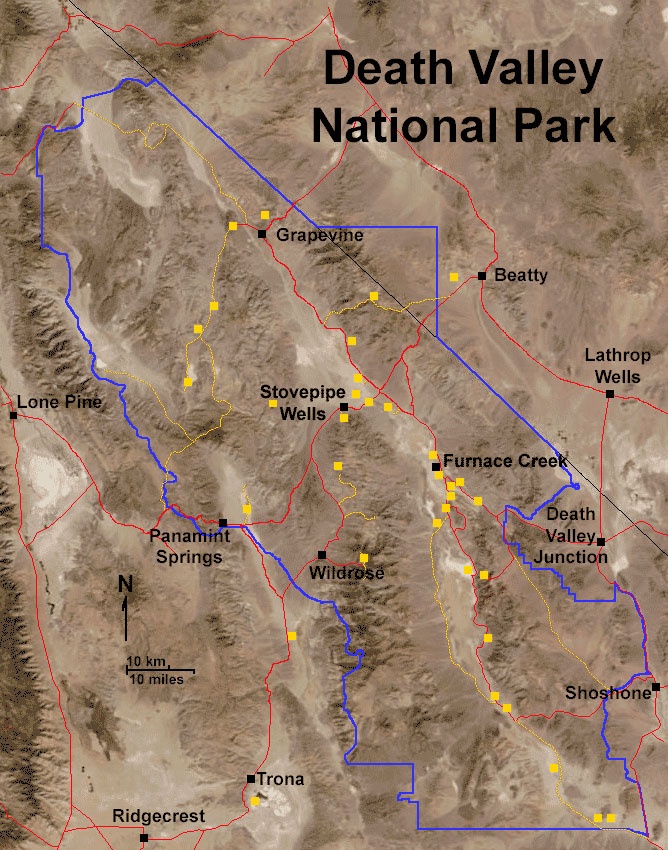
Click on any yellow box to see images of that area. Chick here to see historic aerial photographs of selected areas.
next image Return to Main Page
This page is <https://gotbooks.miracosta.edu/gonp/deva/html/deathvalleymapbig.htm
Last modified: 11/30/2010