Anderson.jpg
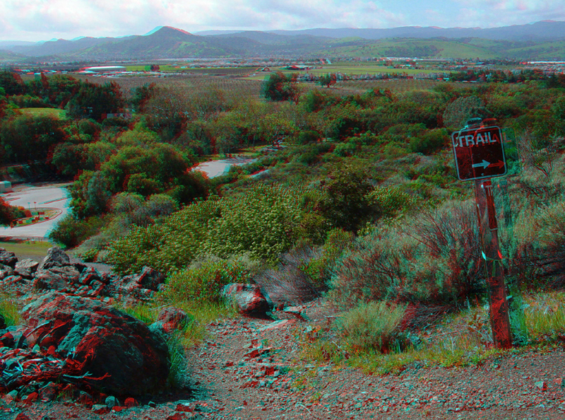
This view is from along the trail connecting the top of the dam with the picnic area below the dam. The reservoir dam was built in a narrow gap where Coyote Creek drains through the ridge of the Edenvale Hills and enters Santa Clara Valley.
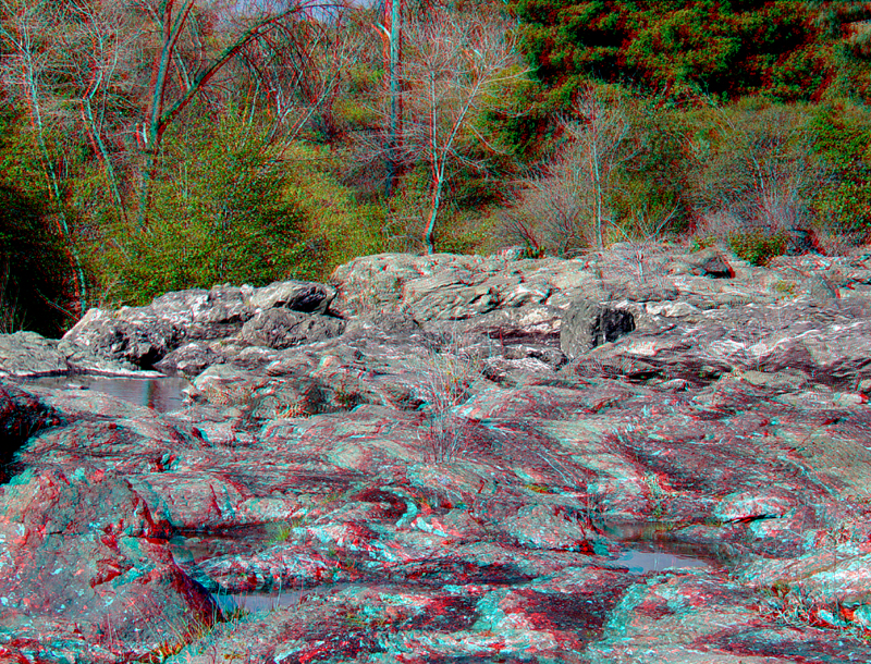
Red chert and greenstone melange makes up the bedrock in the spillway area.
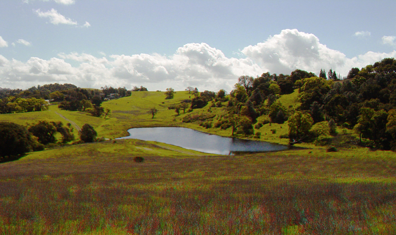
This sag pond marks the location of a fault in the upland area of Rosendin Park south of the boat dock parking area.
Bedded chert in the dam spillway area.
Anderson5.jpg
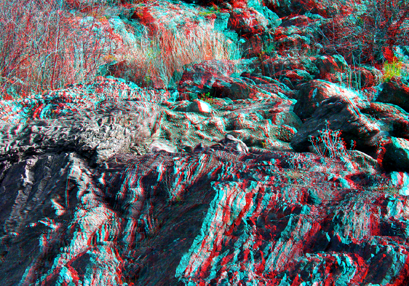
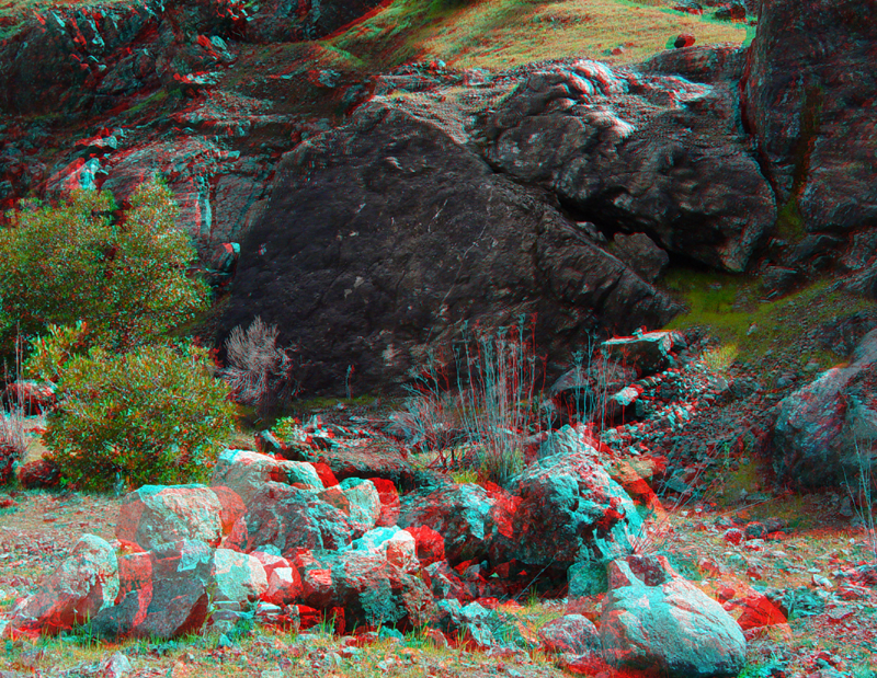
Blocks of greenstone dominate the excavated landscape around the boat dock parking area.
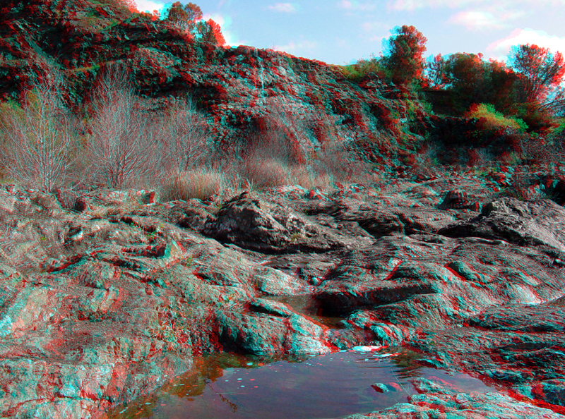
Another view of the greenstone and chert outcrop area in the dam spillway.
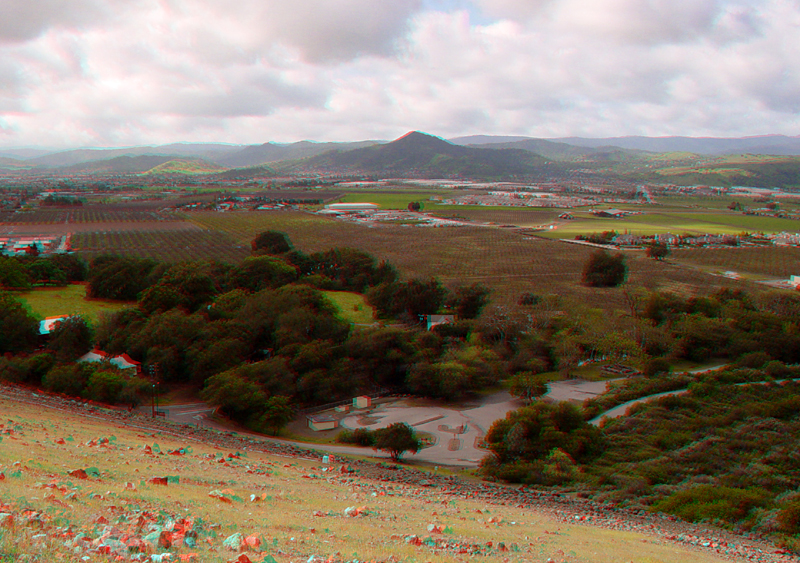
Oaks and grass meadowlands dominate the ridge top along the eastern side of the reservoir.
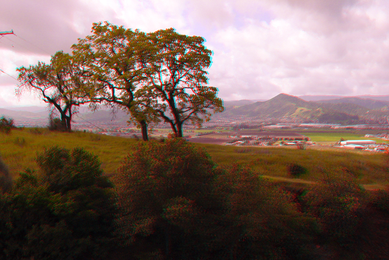
El Toro (elevation 1,002 feet) rises above Morgan Hill in the Santa Clara Valley in the distance.
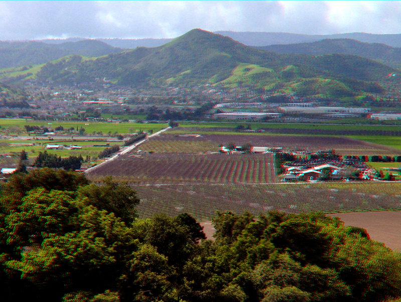
Some of the last orchards in the Morgan Hill area are preserved along Main Avenue just west of the park.
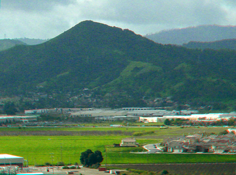
This wide-angle view of the central Santa Clara Valley was taken looking southwest from the top of the dam.
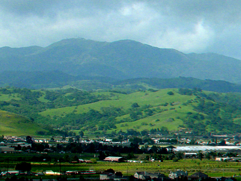
This zoomed-in view shows the Cinnabar Hills rising above the Santa Clara Valley. The high peaks of the southern Santa Cruz mountains include Loma Prieta (3,791 feet, on the left) and Crystal Peak (3,205 feet, nearby on the right of Loma Prieta Peak).

A close-up view of the sag pond.
This view is from an overlook in the Rosendin Park looking north along Anderson Reservoir toward the valley of Animas Creek that drains part of the rift valley of the Calaveras Fault. The main trace of the Calaveras fault runs along the east side of the reservoir (right in this image), however, evidence of a number of other faults can be seen throughout the park area.
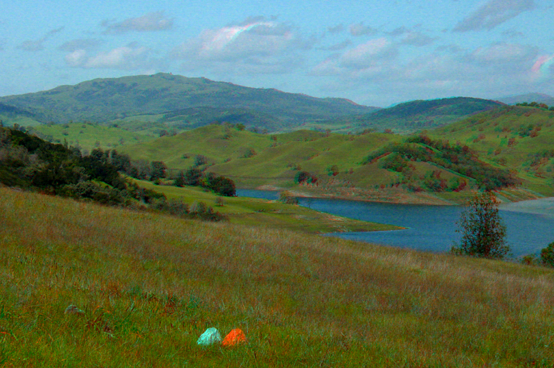
This is a zoomed-in view looking north along the valley of Animas Creek toward Mt. Hamilton in the distance.
Anderson15.jpg
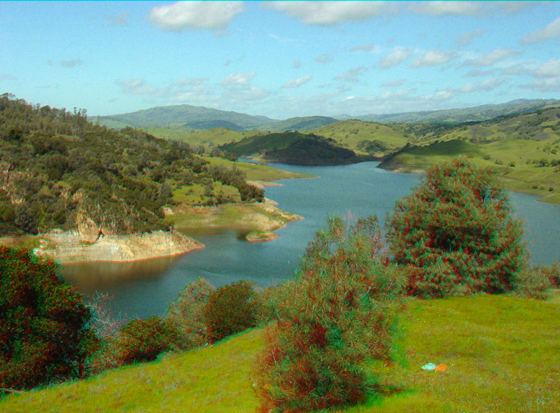
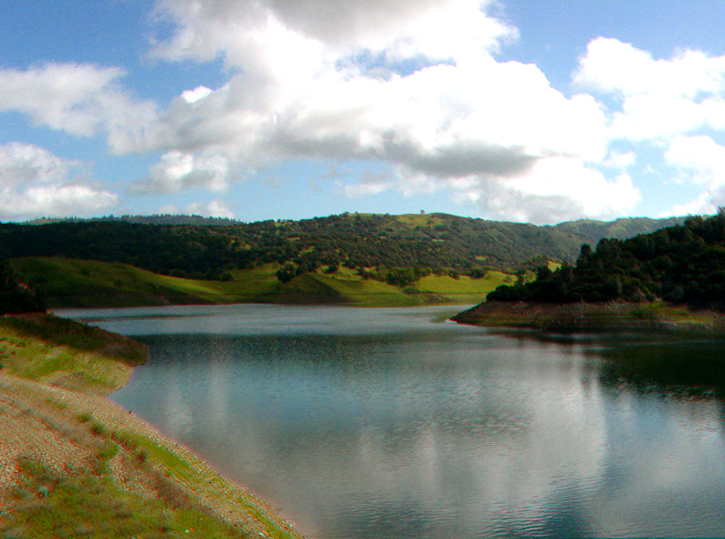
This view is from the shoreline area looking north along the reservoir.
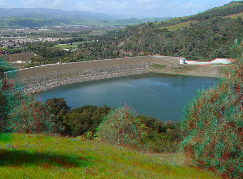
Anderson Reservoir Dam was built in This view is from the hilltop overlook in the Rosendin Park. Construction of the dam began after a $3 million Bond Act was approved by voters in 1949. The reservoir is the largest in the Santa Clara Valley Water District. Water from the reservoir is used to recharge aquifers beneath Santa Clara Valley and as a secondary drinking water source.
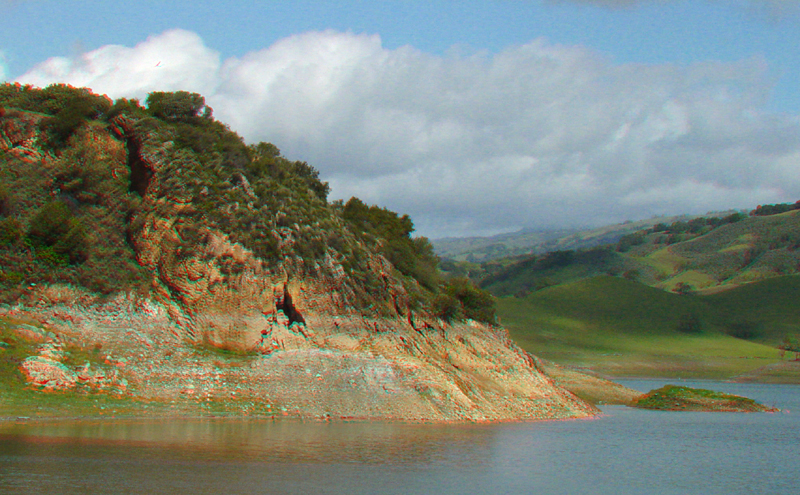
Hard and dense calci-silicate rock forms a massive tan-colored outcrop along the north shore of the reservoir just east of the dam. Calci-silicate rock is a hydrothermally-altered derivative of serpentinite (it is a host rock for cinnabar, mercury ore). The bluish-gray slope beneath the outcrop is weathering serpentinite. A dark hollow in the cliff marks the location of what appears to be normal fault where the foot wall (left) has moved down relative to the hanging wall (right). The Calaveras Fault on the right side of the reservoir has right-lateral offset in the range of about 50 miles since it began forming around 6 million years ago.
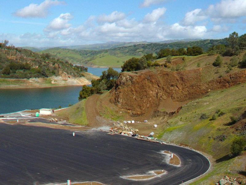
This view looking down onto the boat-dock parking area shows a large brown outcrop of highly weathered graywacke and greenstone of the Franciscan Formation (late Mesozoic in age). The parking area was built is in a large quarry excavated during construction of the dam.
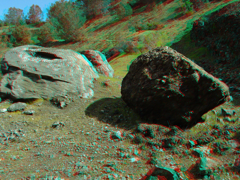
These large blocks of greenstone are on a bench above the boat-dock parking area.
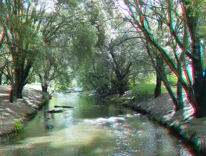
The flow in Coyote Creek is now highly regulated by the flow from the dam. Before the dam was constructed Coyote Creek had a broad alluvial floodplain. Small remnants of gravel bars of this original braided stream drainage can still be seen downstream and east of Highway 101 along the bike path. Without the dam, Coyote Creek valley below the reservoir was subject to flooding. The construction of the reservoir has allowed for extensive development in the Santa Clara Valley, but like most urbanized stream valleys in the region, the construction of the dam has significantly disrupted the natural flood cycles that influenced riparian habitats along the stream.