
Scotts Bluff National Monument, Nebraska
Click On Images For A Larger View. |
Return to Geology of National Parks main page |
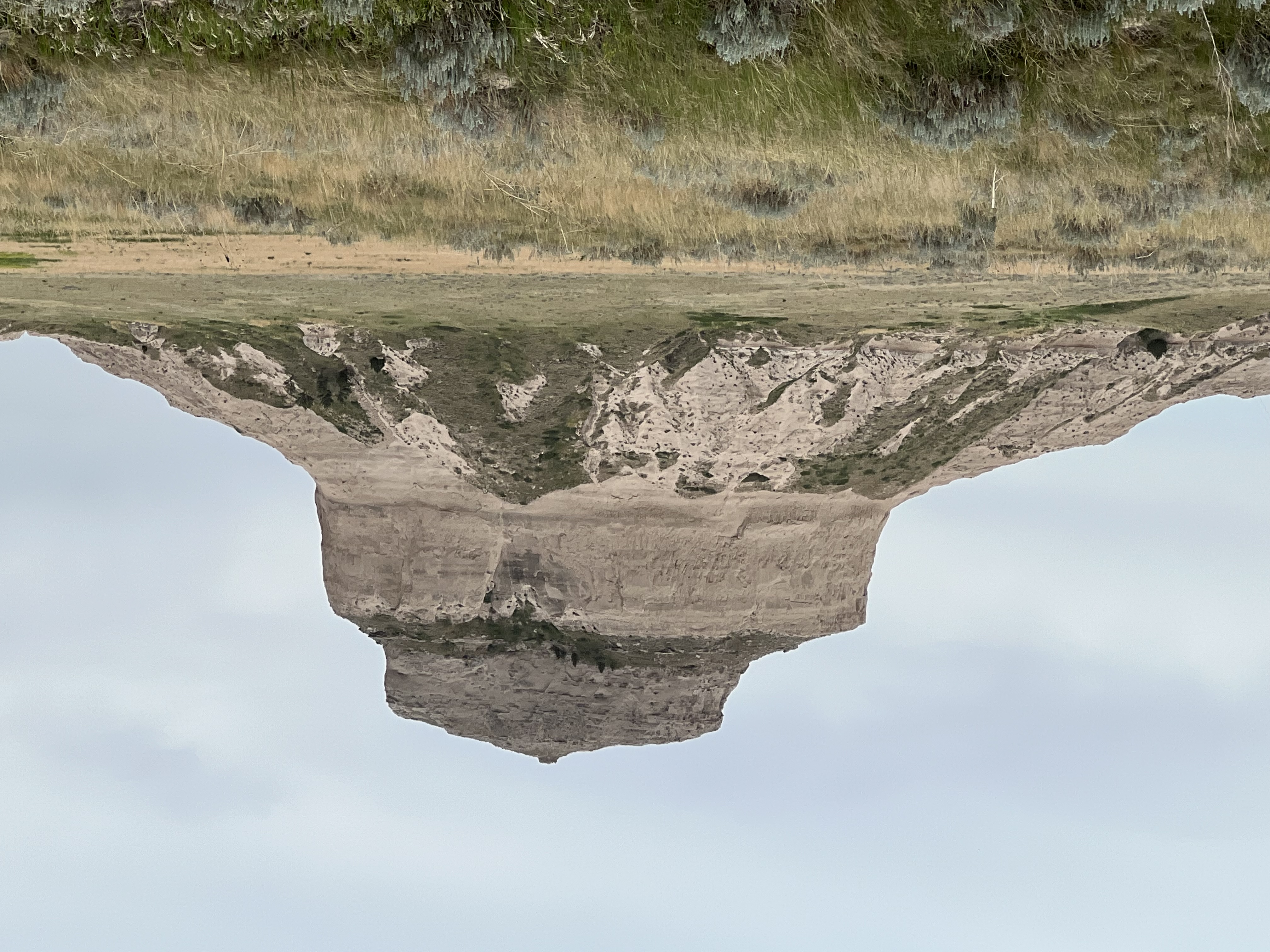
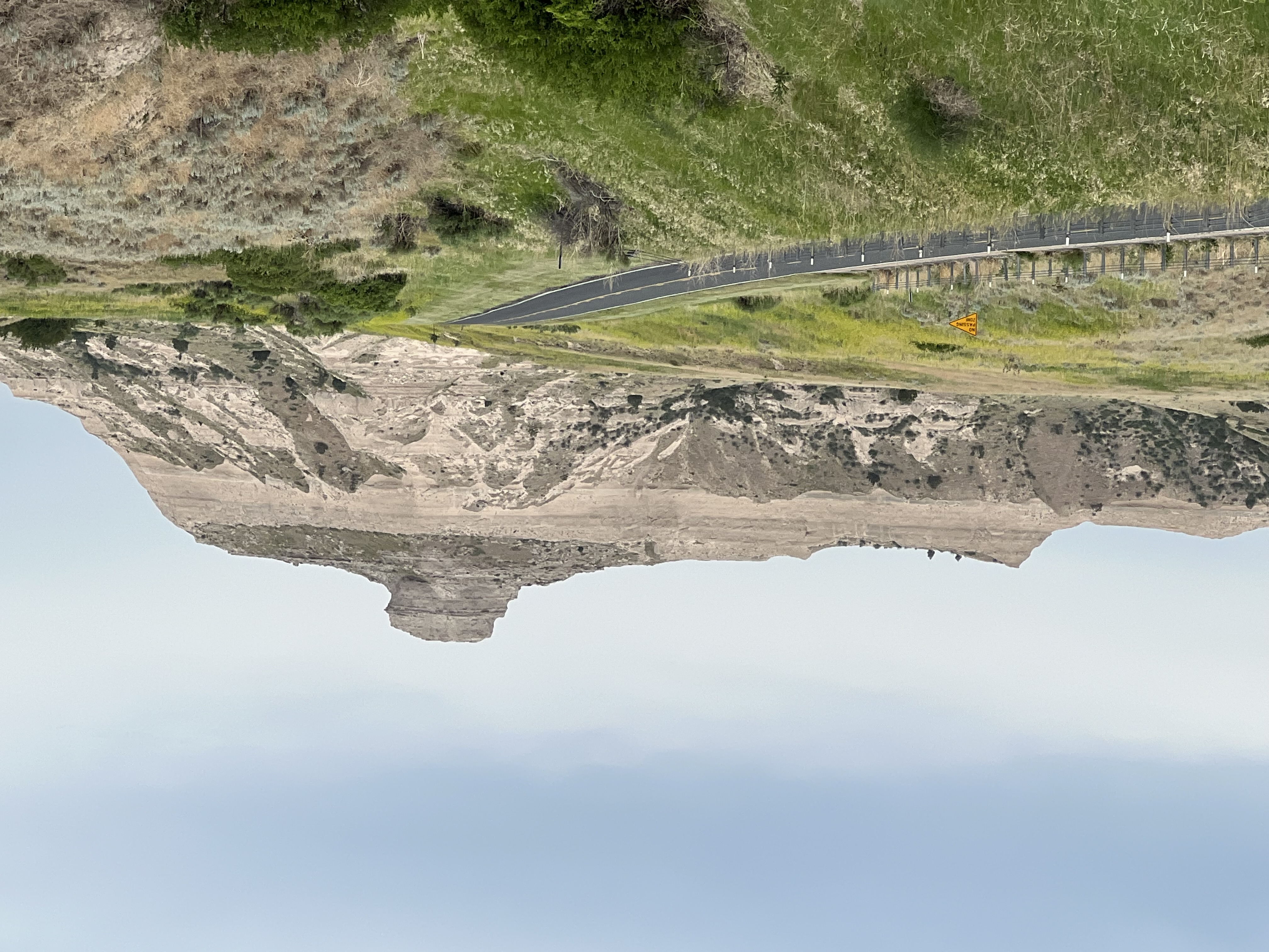
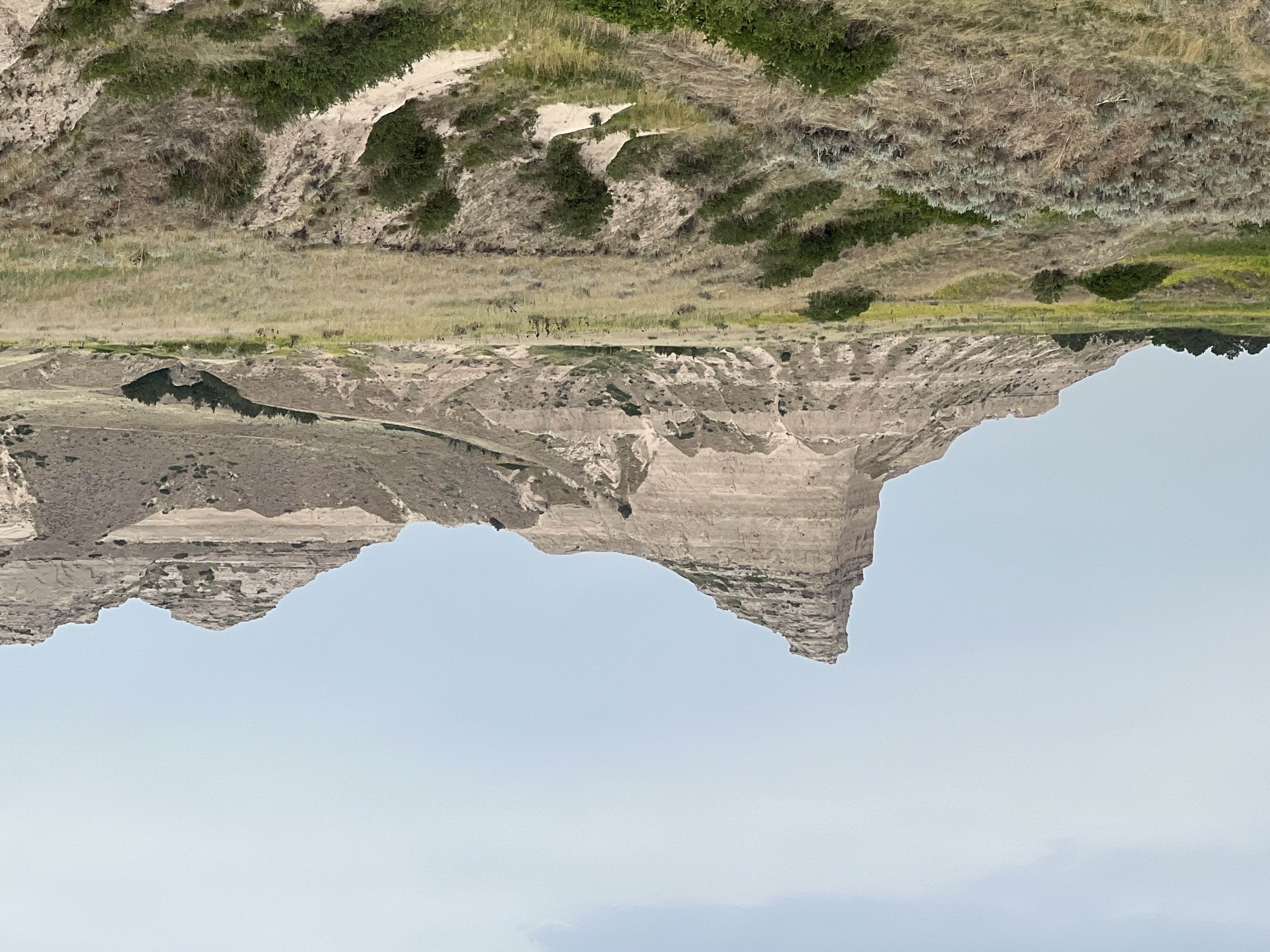
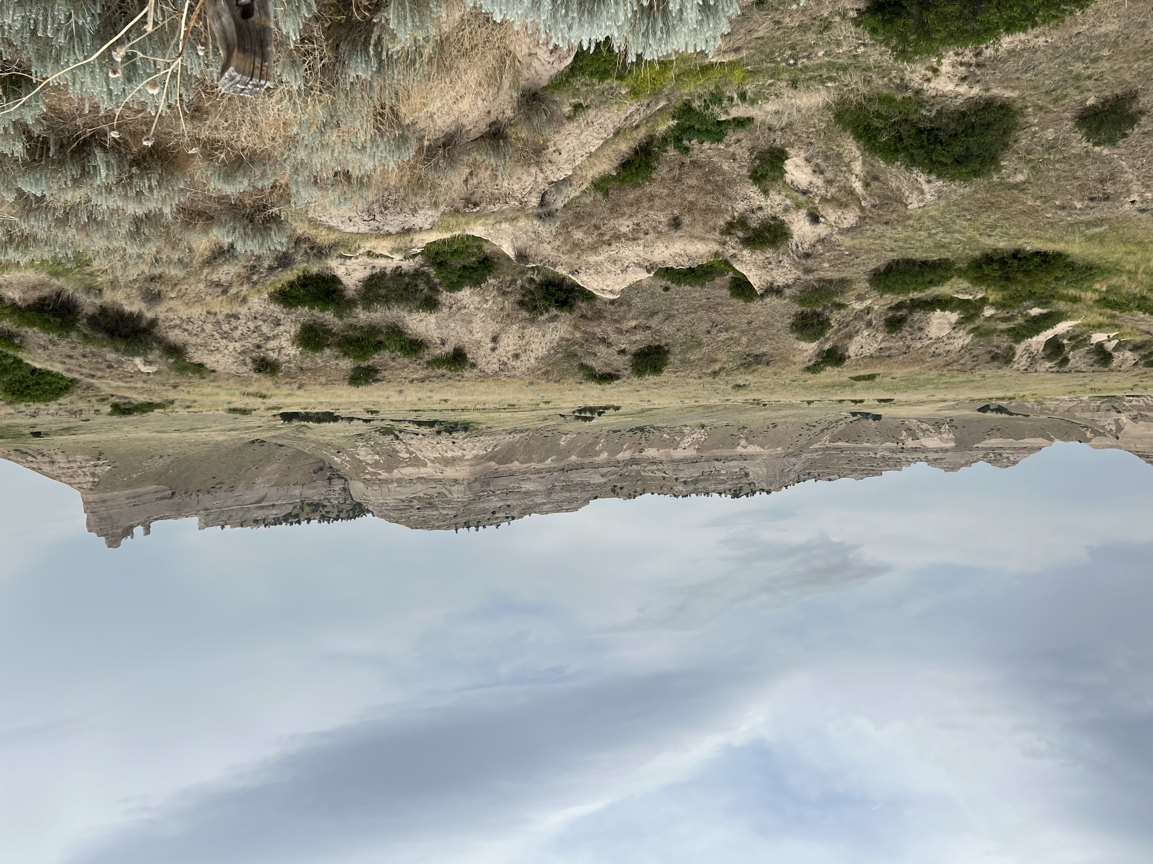
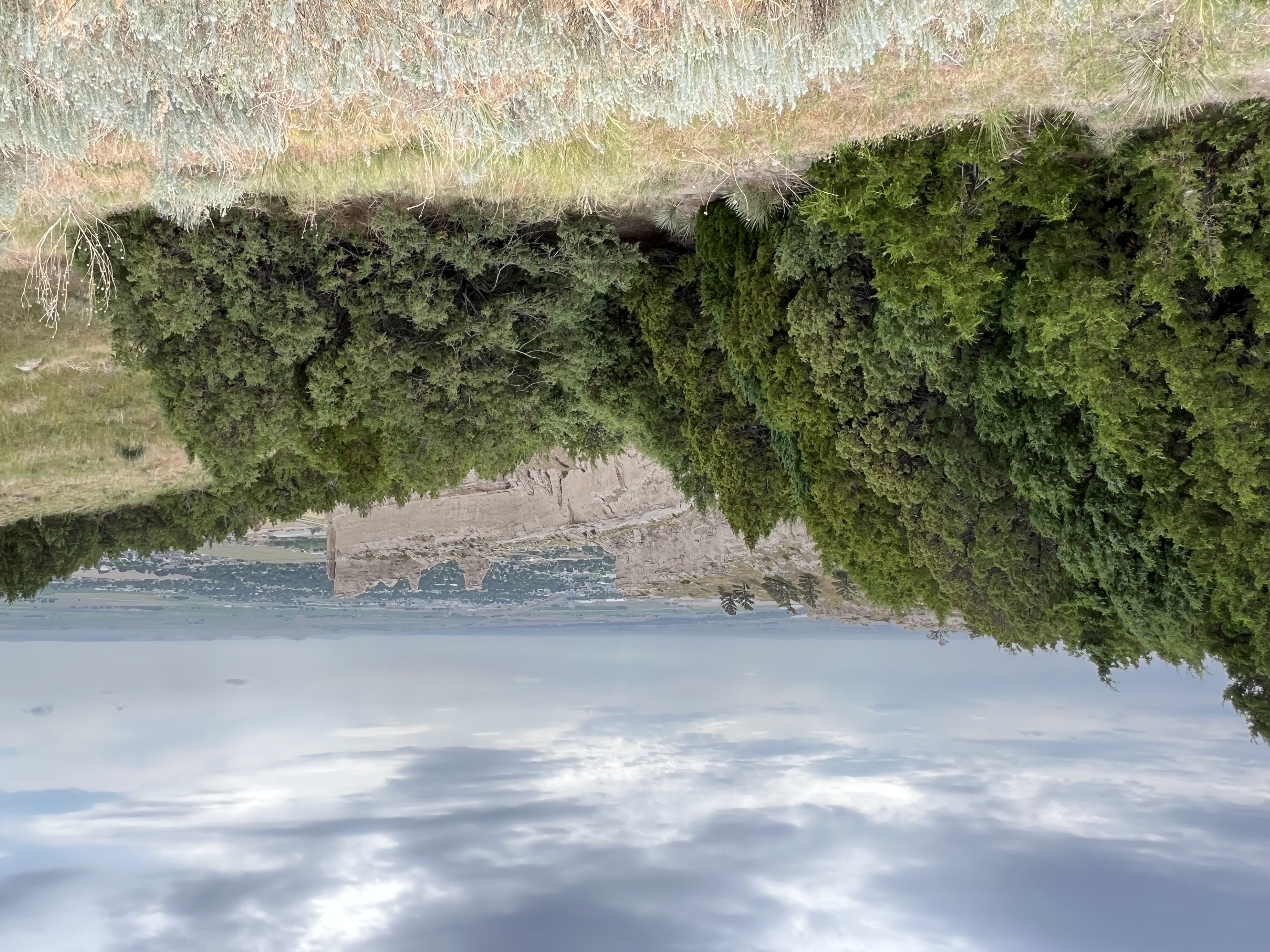
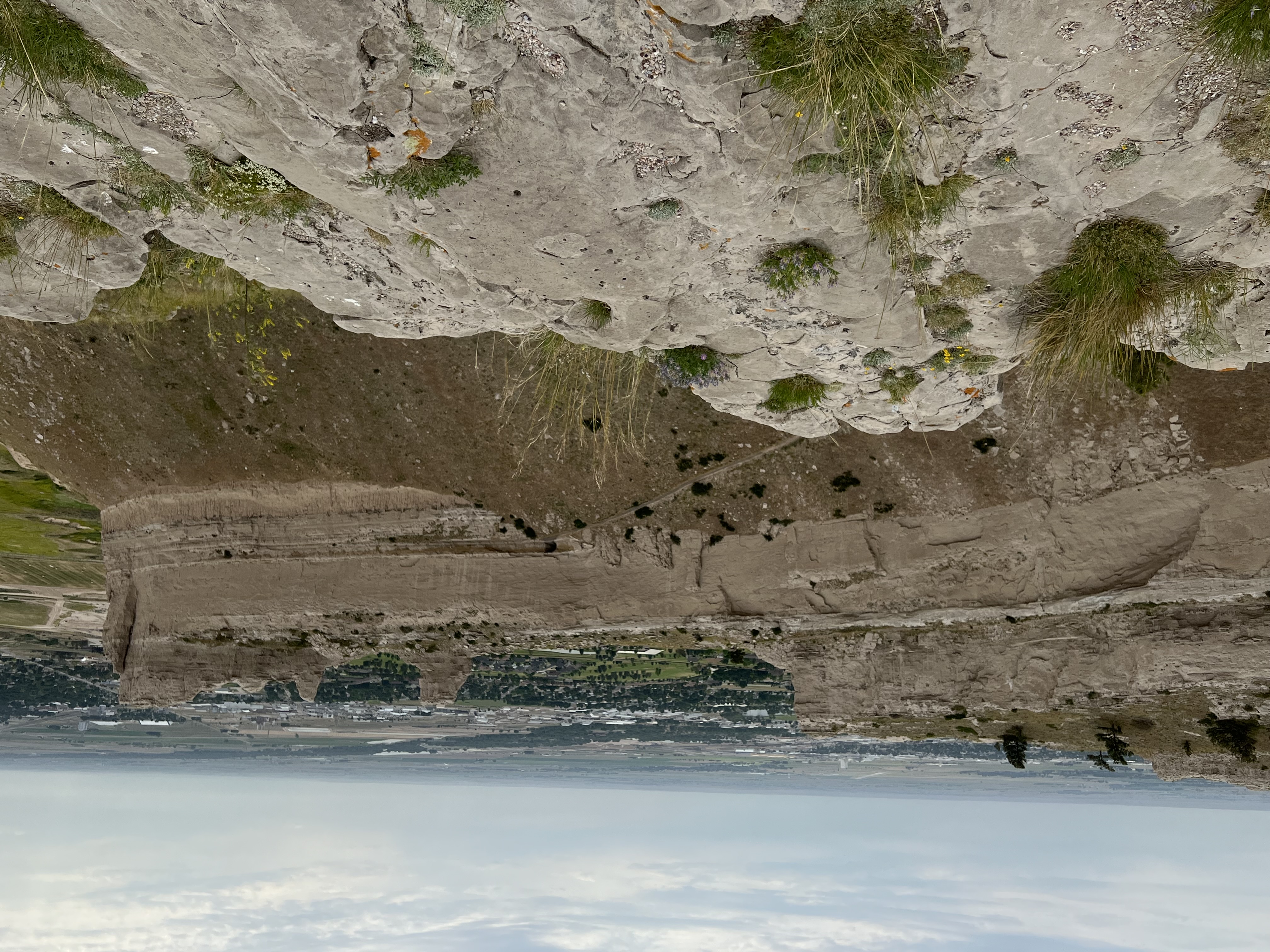
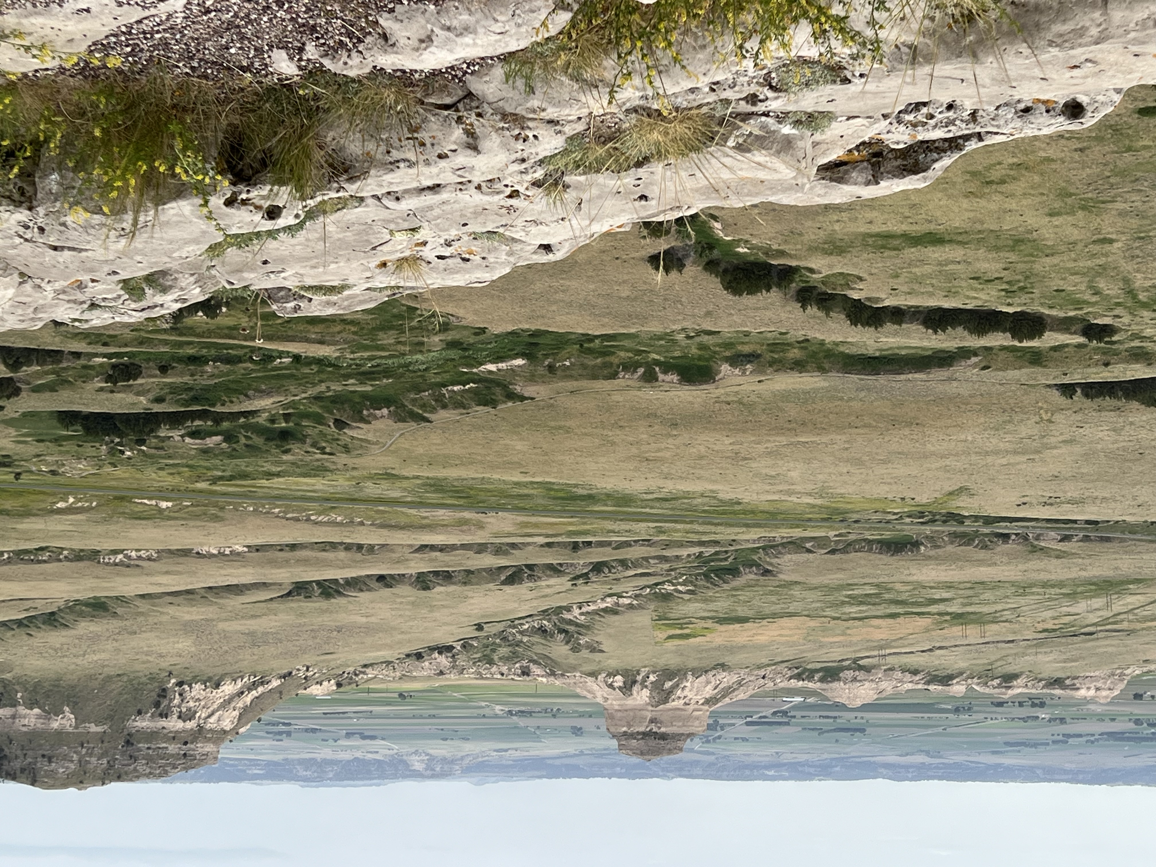
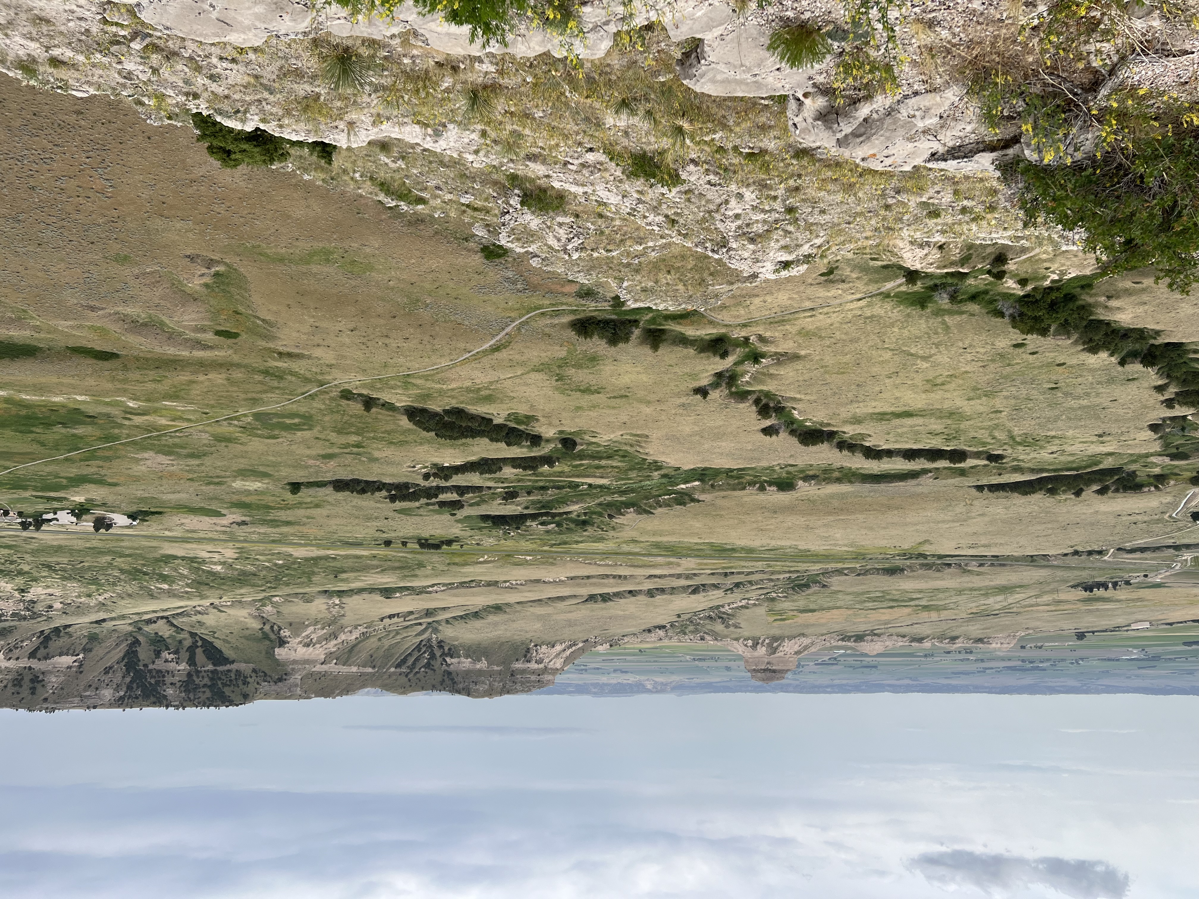
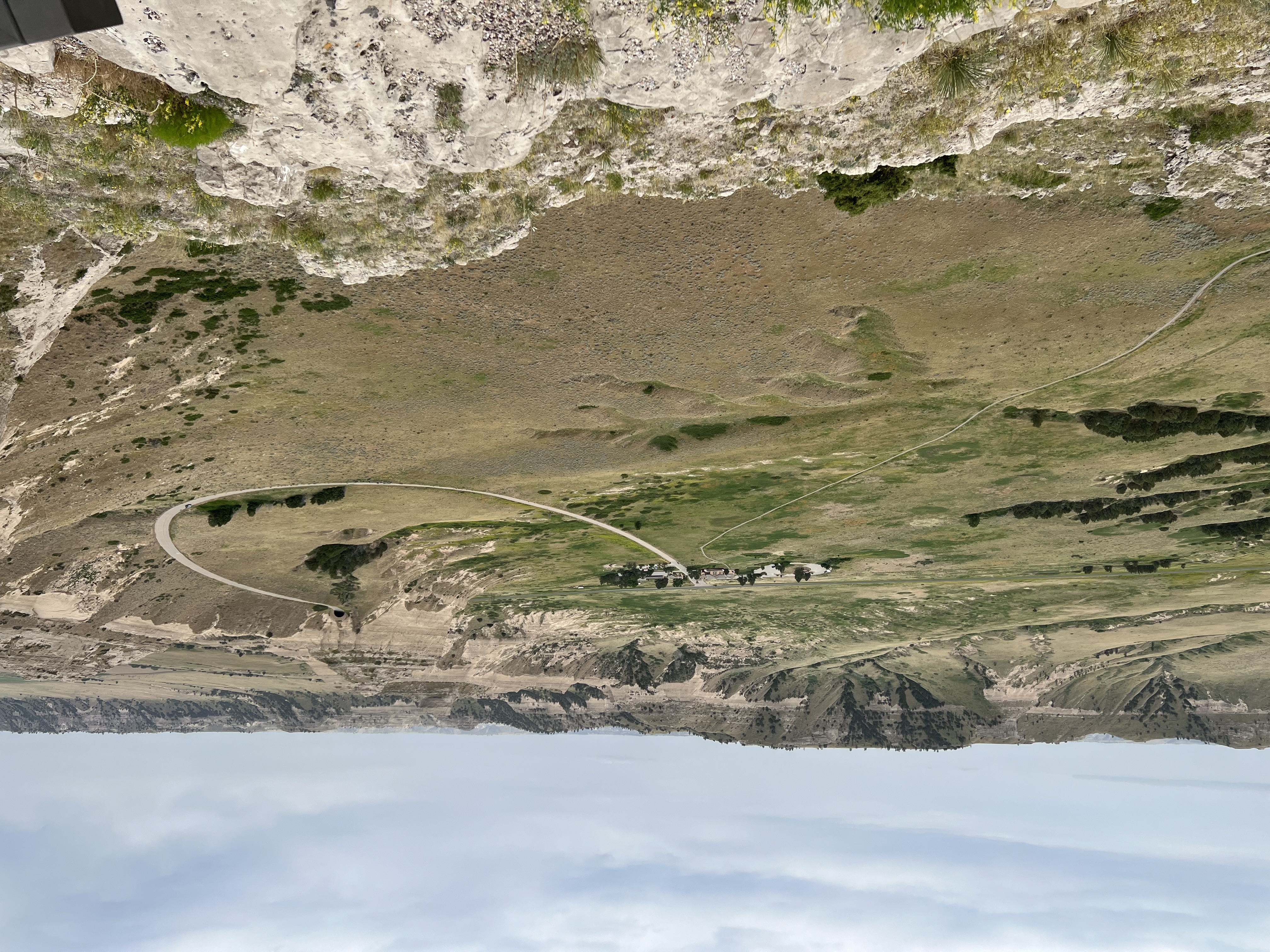
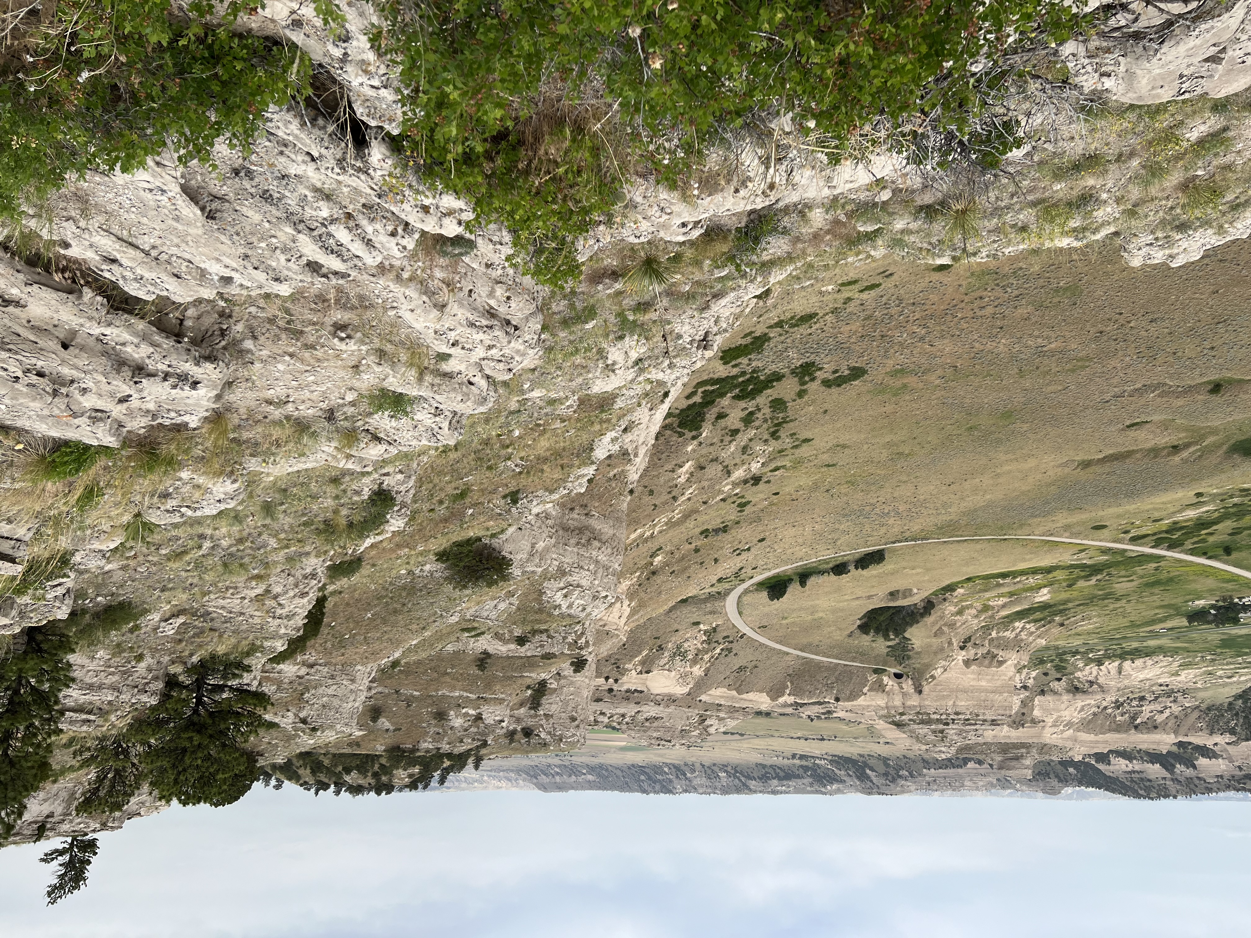
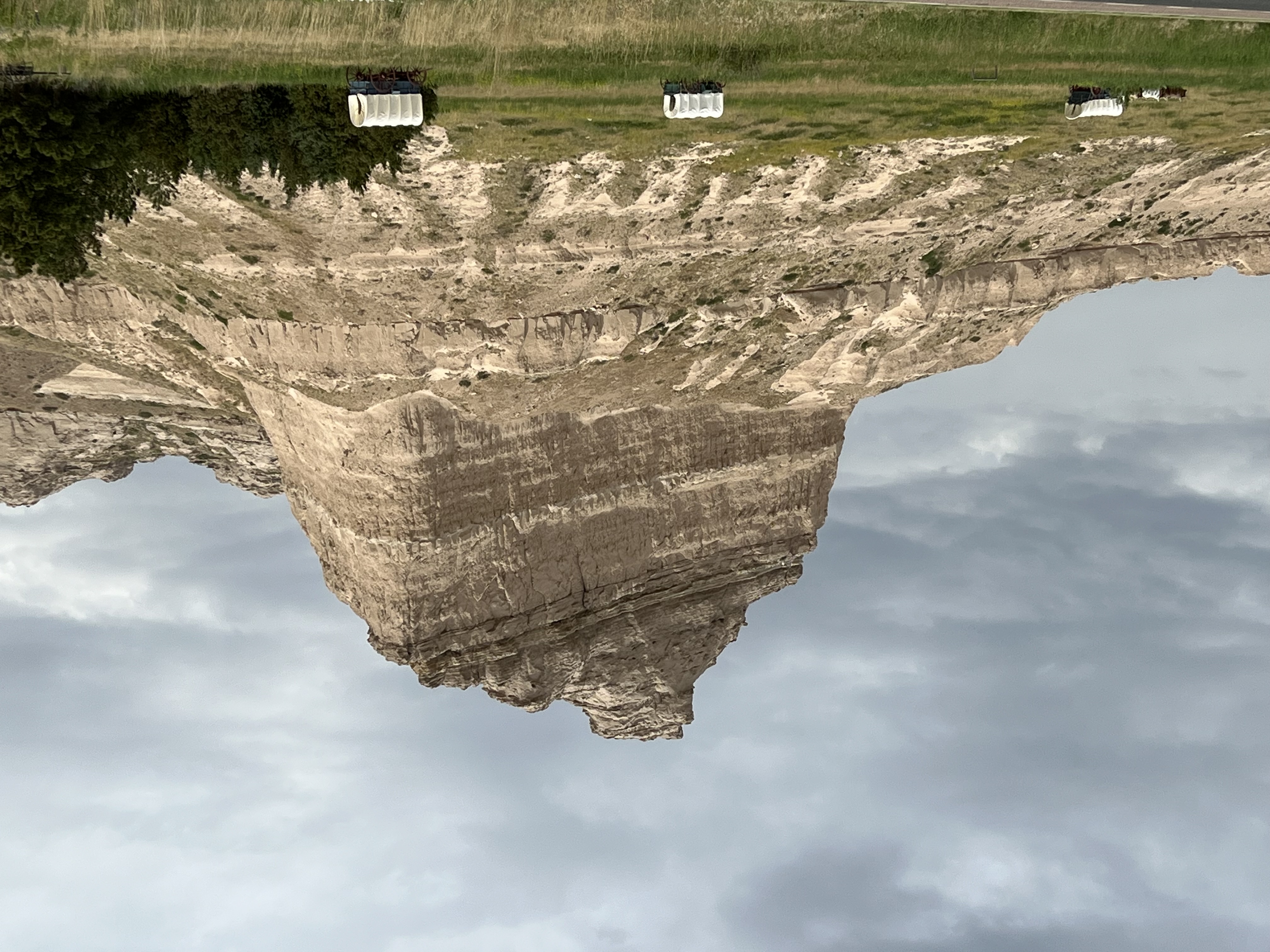
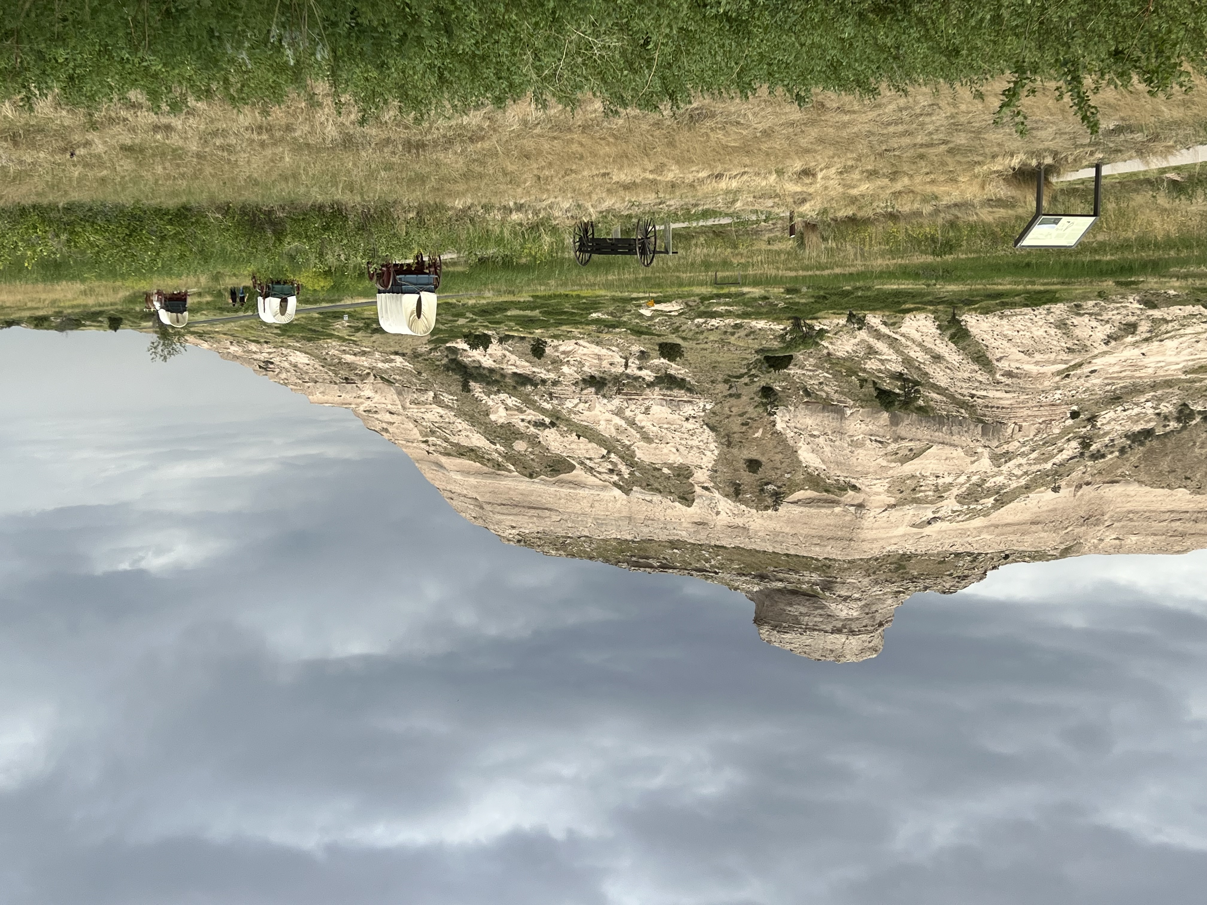
| Scotts Bluff National Monument preserves a scenic prairie landscape with 800 foot-high bluffs of Tertiary sedimentary rocks. The park area has a rich history, starting with the archeaology and cultural history of the Plains Native Americans. Then came the overwhelming tide of changes associated the westward migrations along the California and Oregon Trails. It is estimated that nearly 350,000 people migrated through this area associated with wagon trains between 1841 and until 1869 (when the Transcontinental Railroad began operation). The cliffs exposed in the park are part of the White River Group, consisting of siltstone, volcanic ash, and sandstone deposited between 31 and 22 million years ago on ancient floodplains of rivers draining from Laramide-age highlands to the west. In roughly the past 5 million years, regional uplift led to erosion that carved down the Platte River valley, leaving behind remnants of older rocks exposed in region including at Scotts Bluff. Learn more about Scotts Bluff's local geology at this NPS website: NPS Geodiversity AtlasScotts Bluff National Monument, Nebraska. |
 Map of Scotts Bluff National Monument in western Nebraska. (Click on map for a larger view.) Click here to go to the park's map website. |
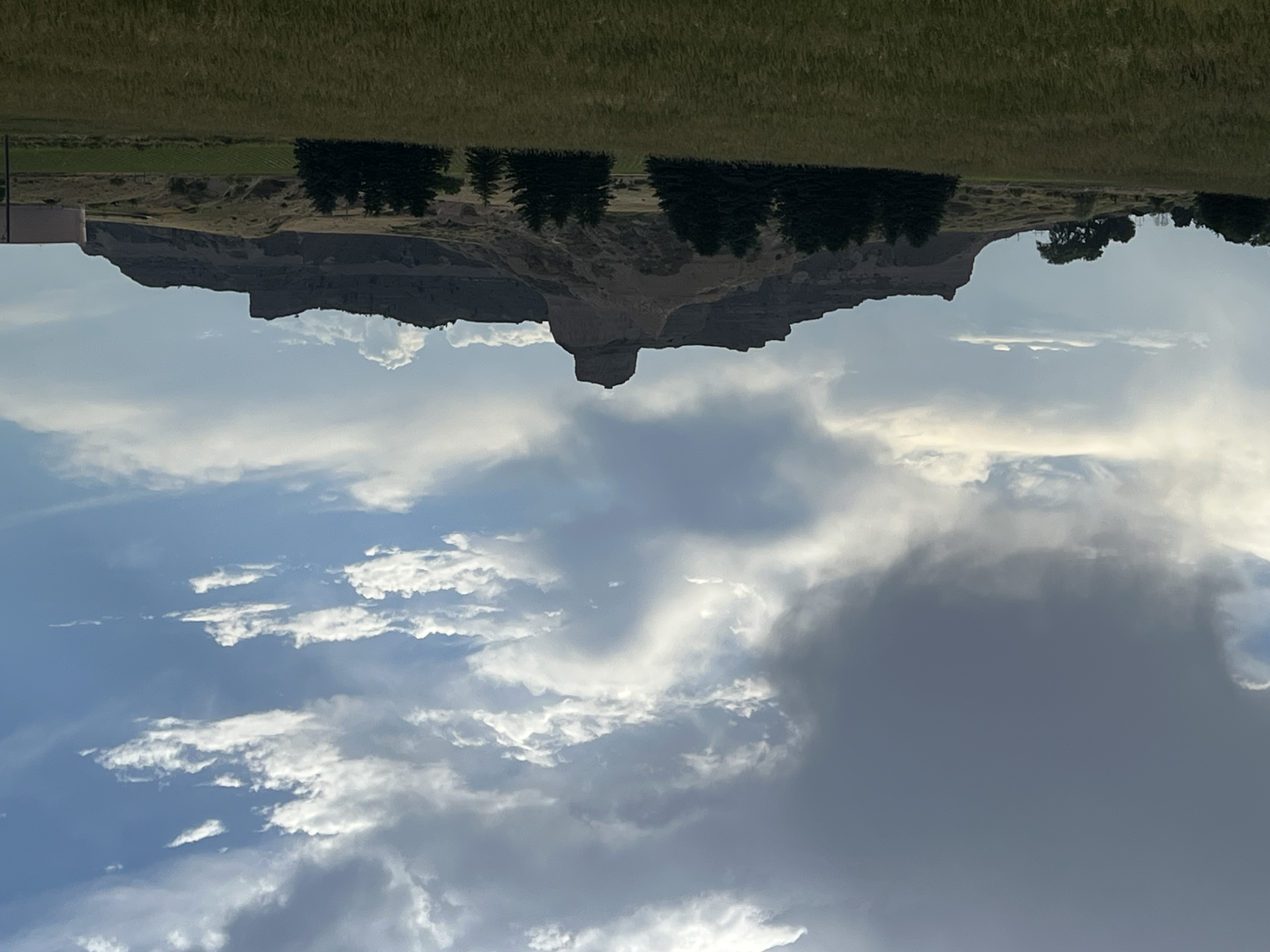
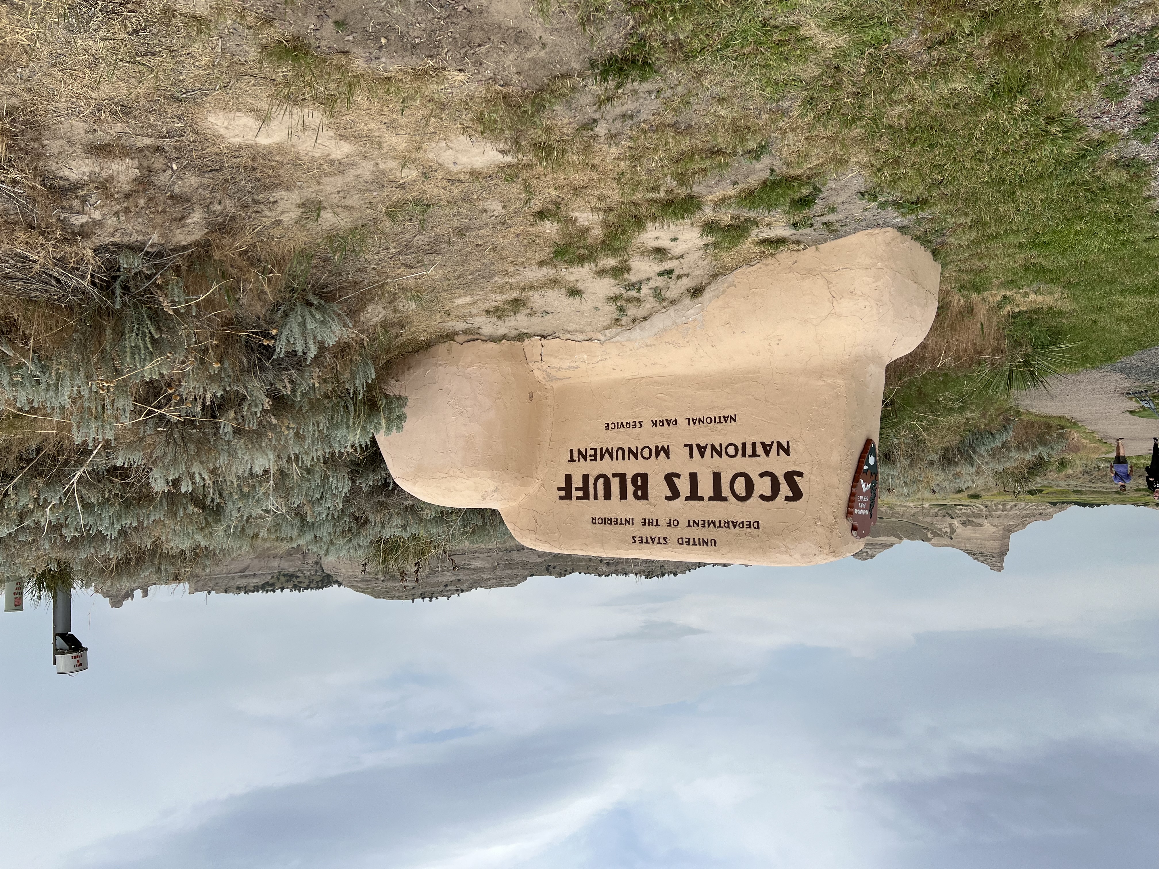
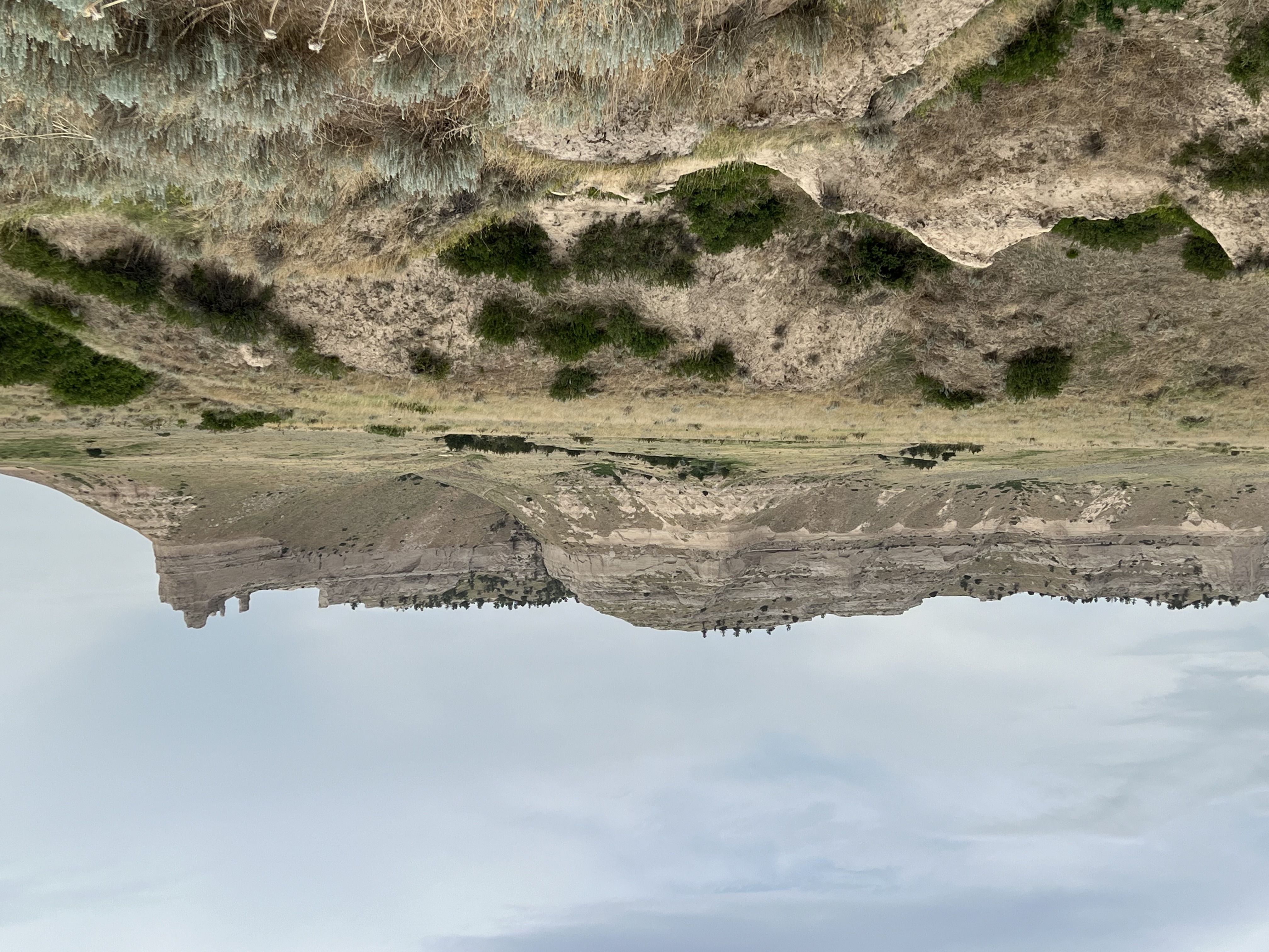
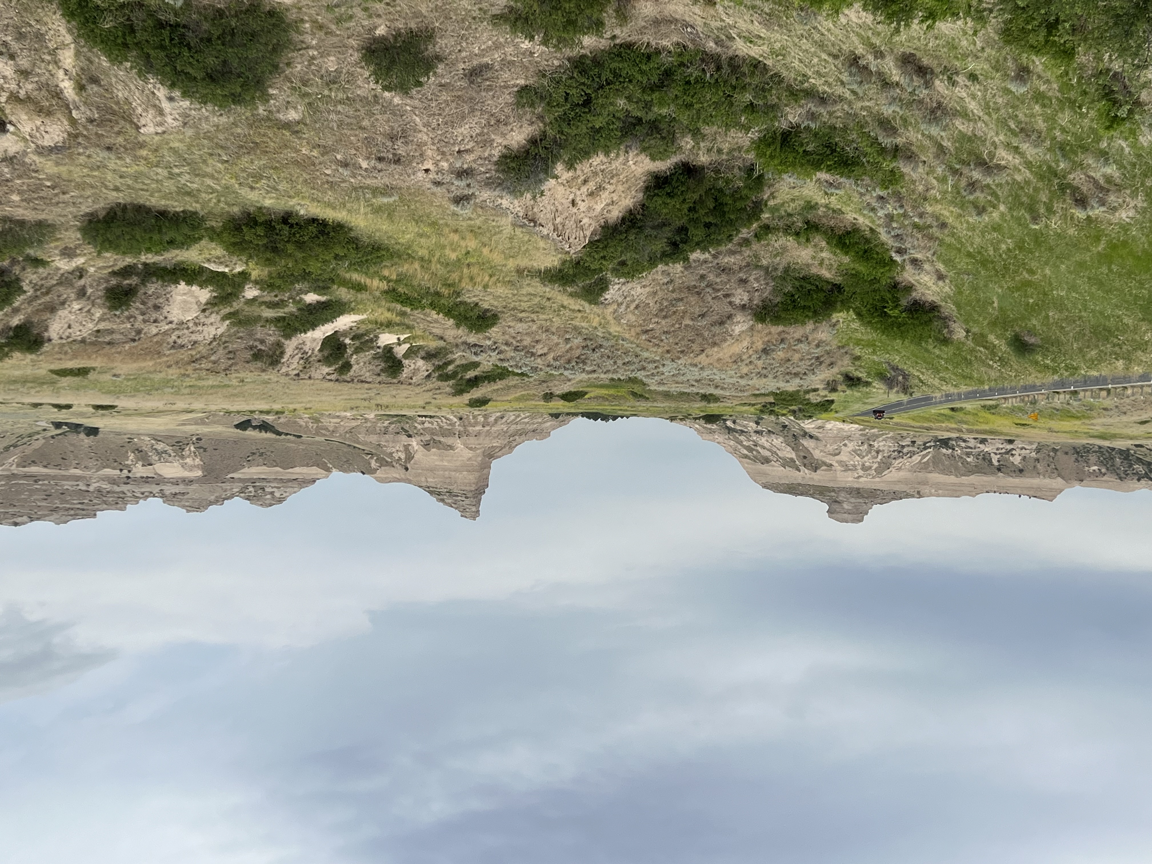
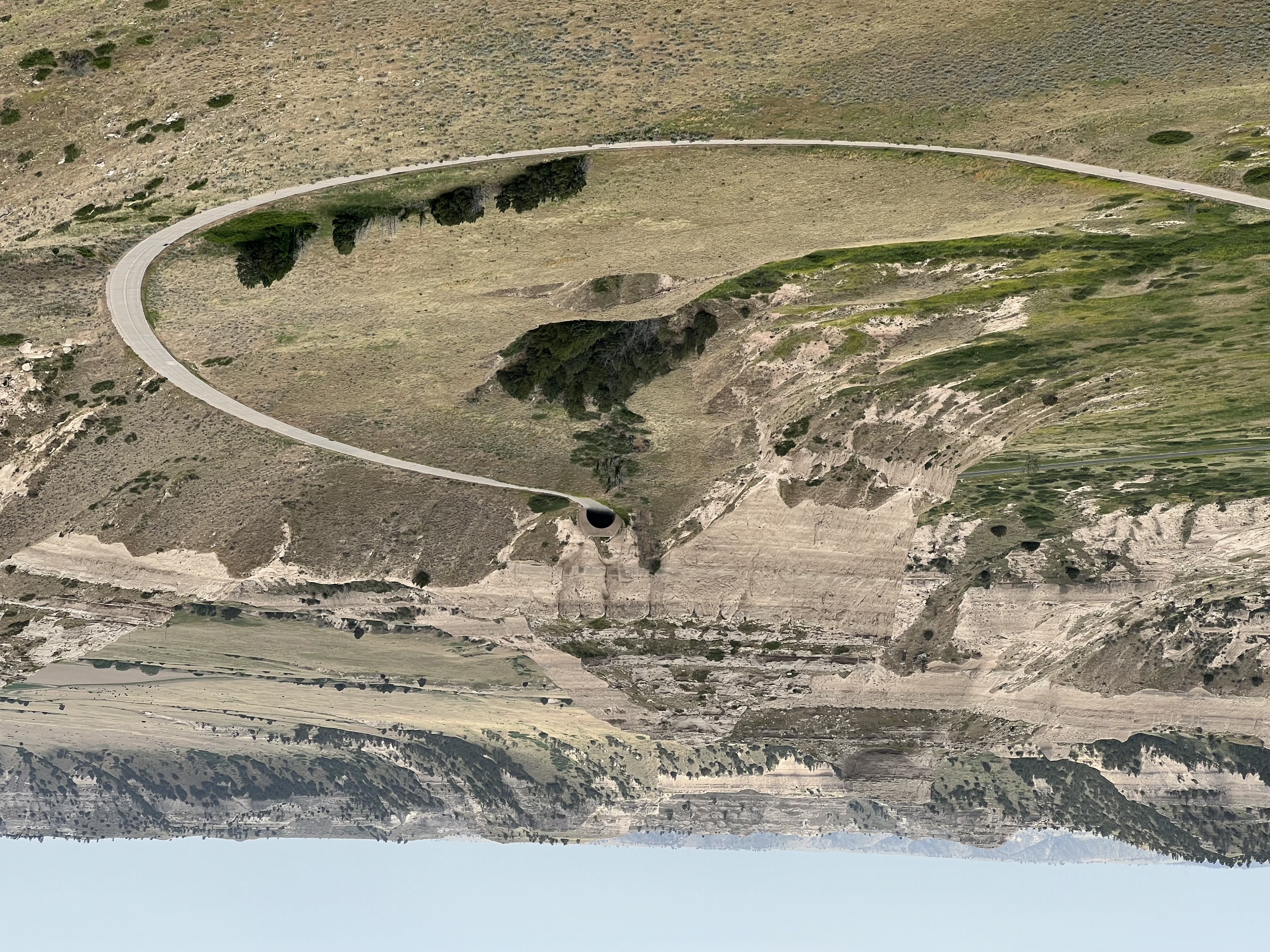
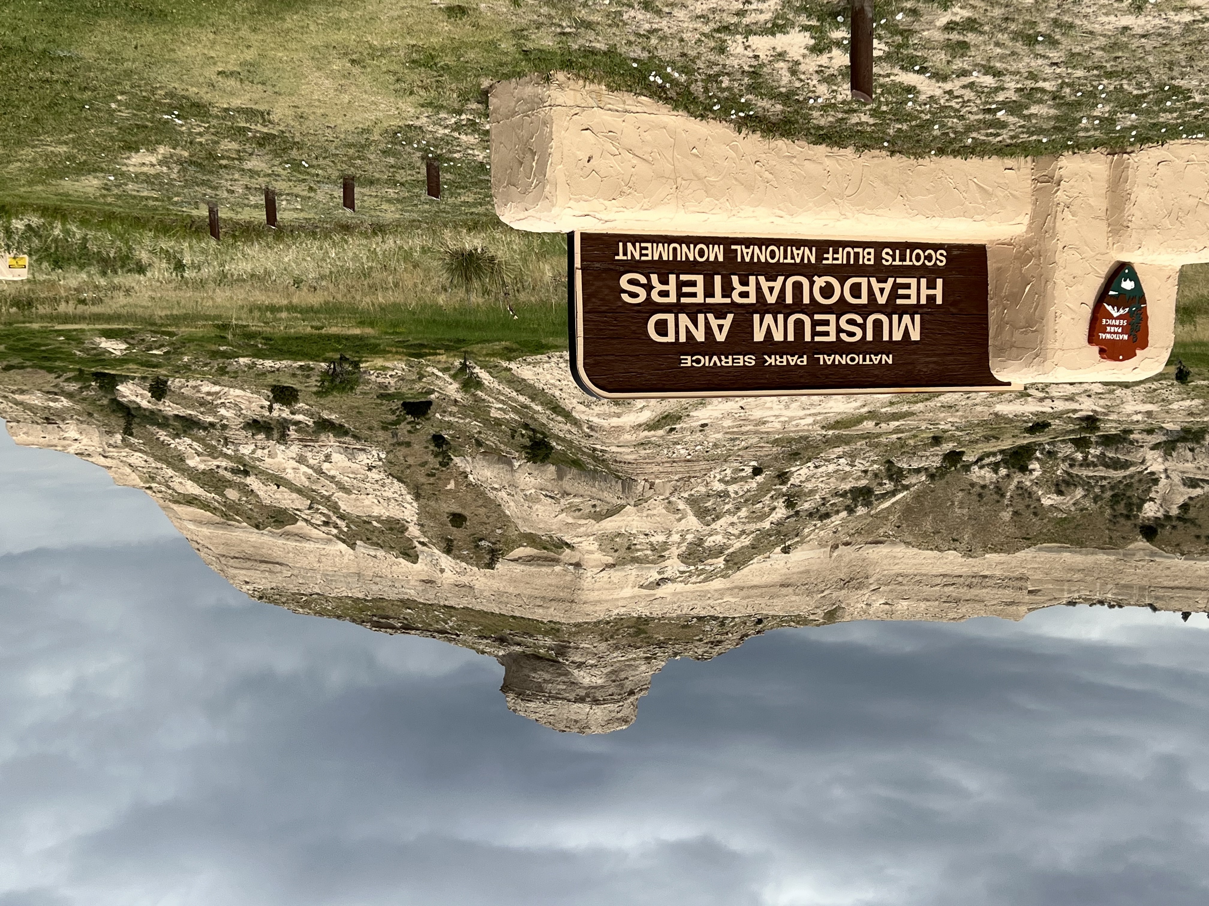
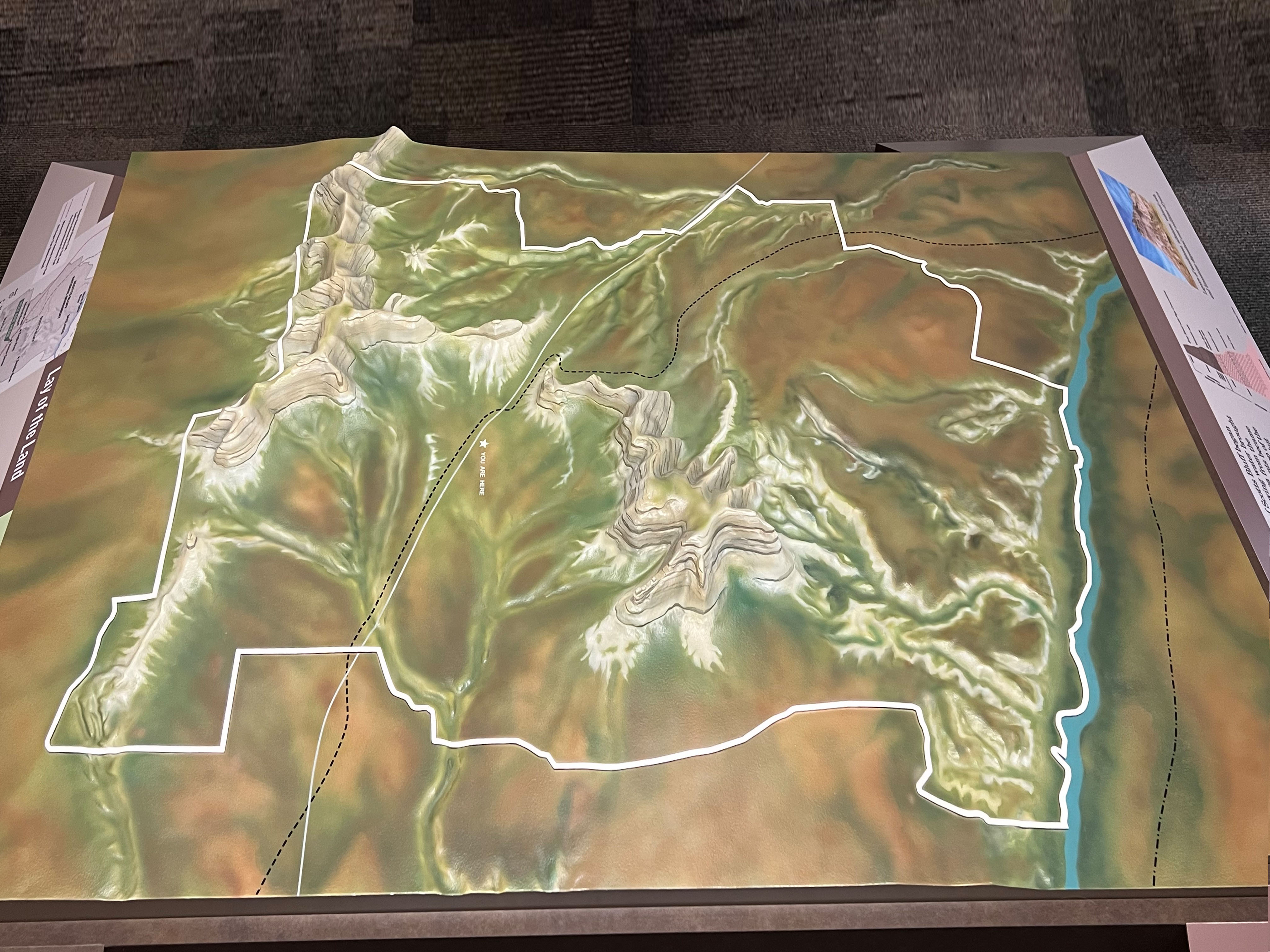
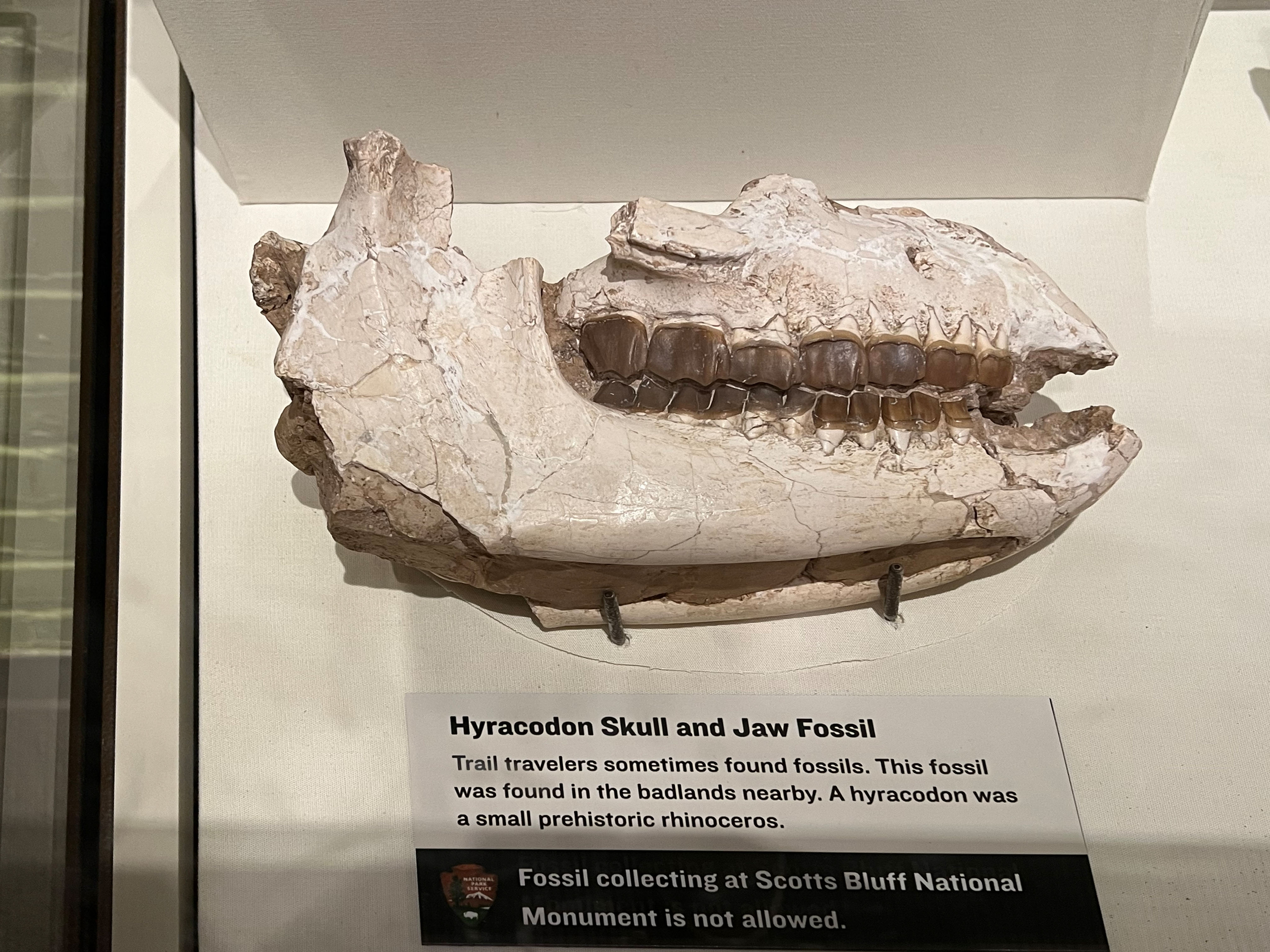
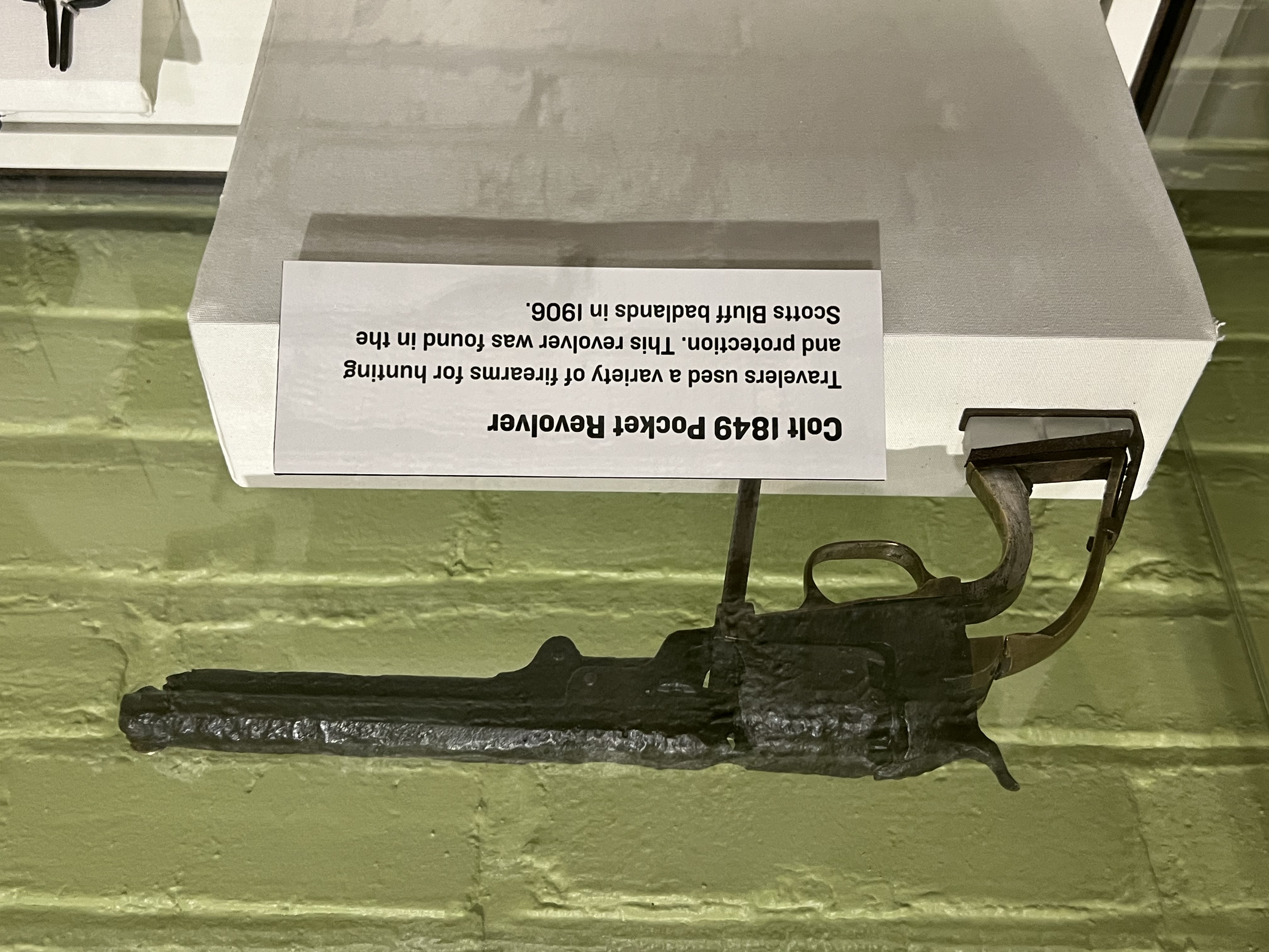
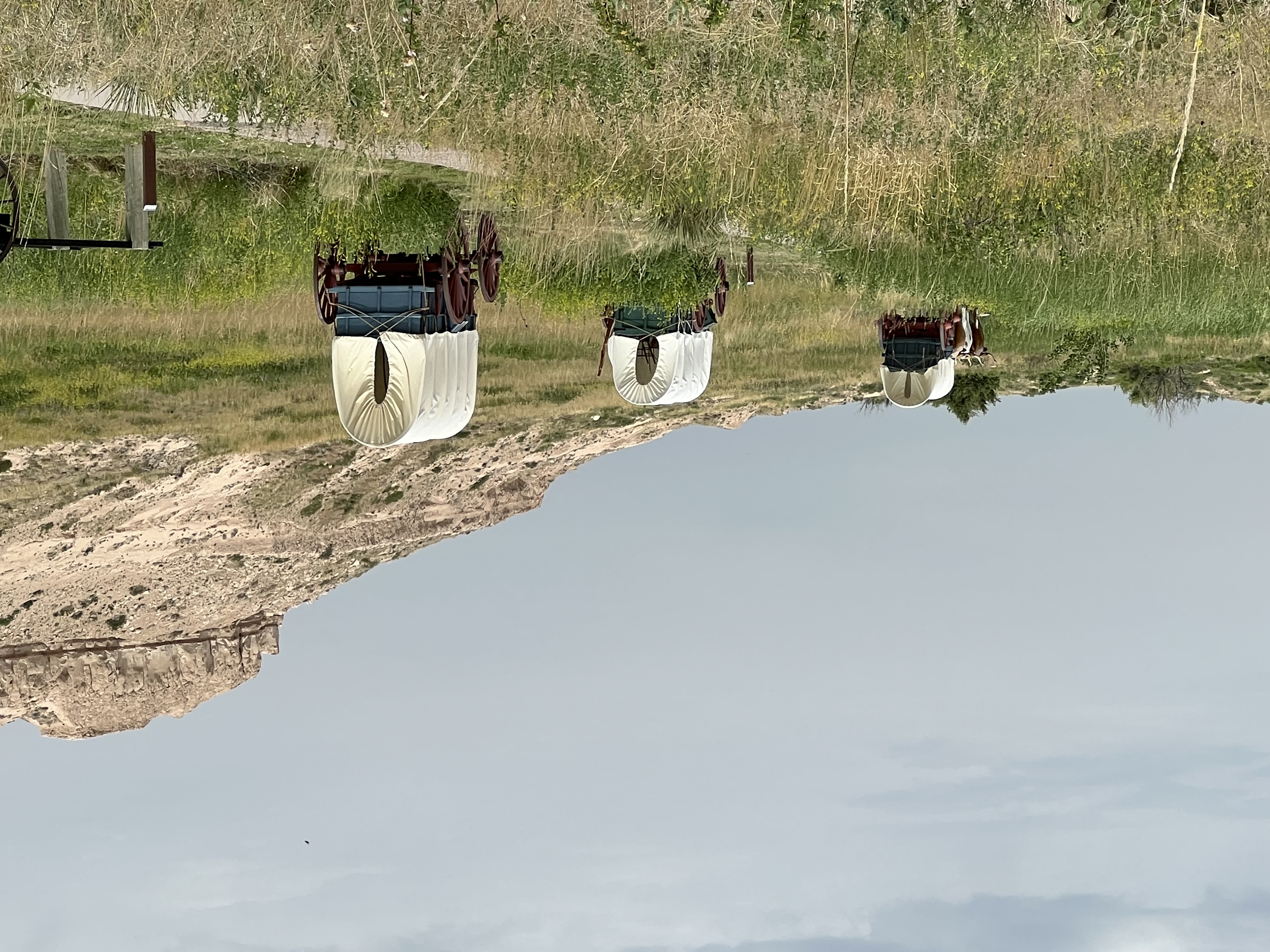
| Below is a collection of images from the park area. Figure 1 is a view of Scotts Bluff from nearby Gering, Nebraska. Figure 2 shows the sign at the park boundary along Highway 92 (Old Oregon Trail Road). Figures 3 through 8 were taken at an overlook near the park boundary/entrance sign on Highway 92 (Old Oregon Trail Road). Figures 9 through 17 are views between the Overlooks parking area and South Overlook on top of Scotts Bluff (mesa). Figure 18 is the sign at the entrance to Visitor Center on the road that leads to the top of Scotts Bluff. Figure 19 is a 3D model of the Scotts Bluff (mesa) on display at the park Visitor Center. Figure 20 and 21 are parts of the exhibits on display in the Visitor Center. Museum exhibits in the Visitor Center allow guests to explore the rich cultural and natural history of the park. Figures 22 to 24 show models of wagons heading west along the historic California-Oregon Trails route through Mitchell Pass. |
|


| This page is <https://gotbooks.miracosta.edu/gonp/scbl/> Last modified 7/13/2024. |