 |
 |
 |
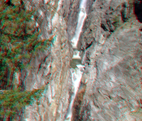
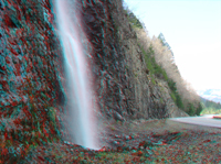
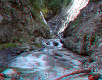
| Gorge Creek Falls |
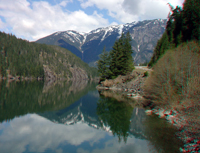
Diablo Lake at Colonial Creek |
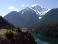
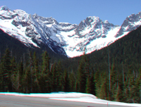
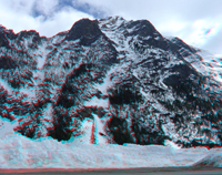
Diablo Lake Overlook |
 |
 |
 |
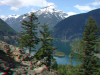
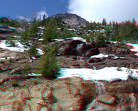
| Diablo Lake Overlook |
Diablo Lake Overlook |
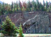
Roadcut Cascade |
 |
 |
 |
| Ruby Creek (downstream) |
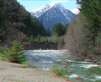
Ruby Creek (upstream) |
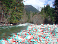
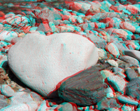
Boulders in Ruby Creek |
 |
 |
 |
| Falls along Granite Creek |
View east near Gabriel Peak |
View east near Rainy Pass |
 |
 |
 |
| View south near Rainy Pass |
View east from Washington Overlook toward Snaggletooth Ridge |
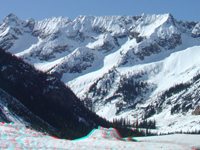
Serrated ridge and avalanche shutes east of Early Winter Spires |
 |
 |
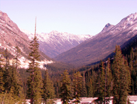 |
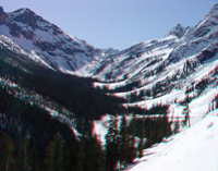
| Avalanche shutes in valley east of Early Winter Spires |
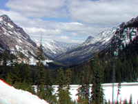
Glaciated (U-shaped) valley of West Fork of Cedar Creek |
Glaciated (U-shaped) valley of West Fork of Cedar Creek |
 |
 |
 |
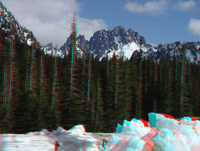
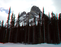
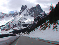
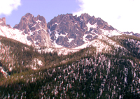
| Early Winter Spires and the Liberty Bell |
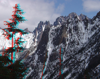
Early Winter Spires (left) and Liberty Bell (right) |
Avalanche shutes on Kangaroo Ridge |
 |
 |
 |
| Melting snow and cascades on granite along the North Cascades Highway |
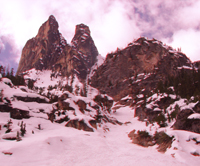
Snaggletooth Ridge |
Snaggletooth Ridge (zoom) |
