 |
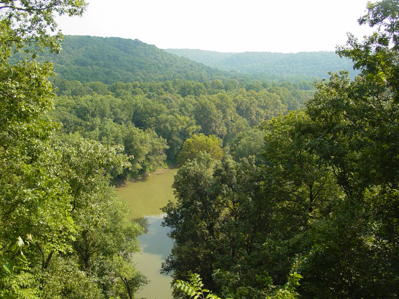
| This view is of the Green River Valley from an overlook along the Turnhole Bend Trail. Turnhole Bend is a great incised meander formed by the ongoing downcutting of the Green River into its ancient floodplain. The river elevation here is about 450 feet and the ridge line is about 780 feet, a difference of 330 feet (or about 100 meters). Within this elevation range are five roughly-mappable levels within the cavern system (Palmer, 1989). |