 |
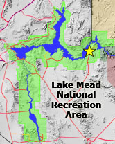
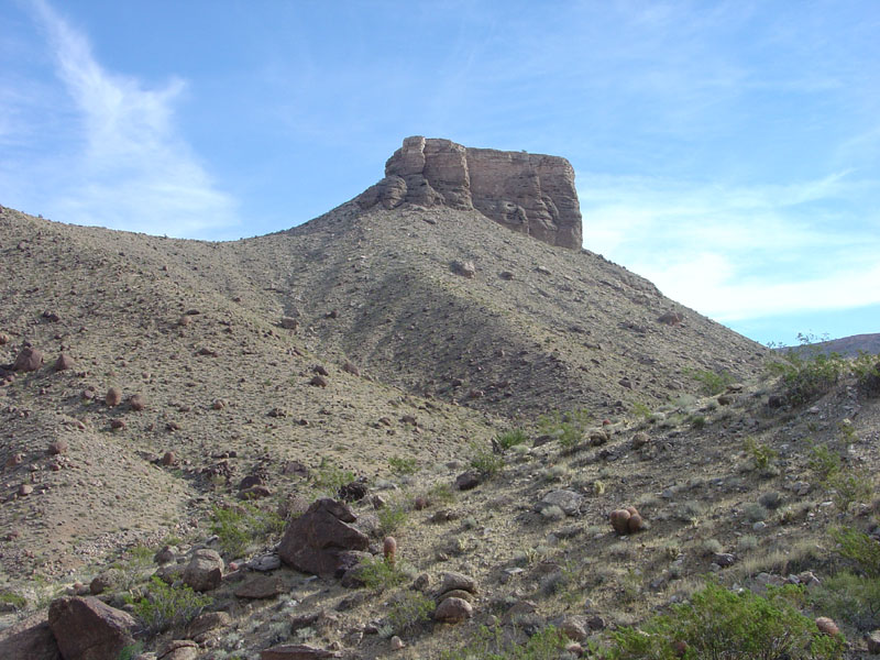
This butte is located near the intersection of the Pierce Ferry Road and the access road to South Cove on Lake Mead. The top of the butte consists of Hualapai Limestone of Pliocene age. The Hualapai Limestone overlies older alluvial fan deposits of the Late Miocene to Pliocene-age "Rocks of the Grand Wash Trough"(Beard and others, 2007; Young, 2008). The top of the butte has an elevation of 870 feet-about 700 feet above the Colorado River level before the valley was flooded by Lake Mead (reservoir). The slope in the foreground is covered with large granitic boulders derived from the Hiller Mountains region to the west. |


