|
Click here to start a tour of Kaloko Honokohau National Monument. Click on any of the images to continue to the next page in the linked series of web pages. Or, see a thumbnail gallery. |
|
|
 |
 |
 |
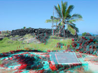
| A'a flow at Kaloko | Beach access gate at Kaloko | Historic area at Kaloko |
 |
 |
 |
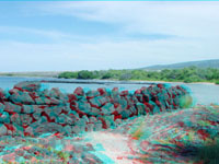
| Hawaiian heiau at Kaloko | Historic stone walls | Hualalai Volcano |
 |
 |
 |
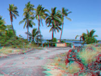
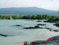
| Rocky shore at Kaloko | Rocky shore at Kaloko | Native Hawaiian building |
 |
 |
 |
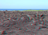
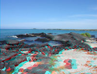
| Beach at Kaloko | Historic fishpond walls | Historic fishpond wall |
 |
 |
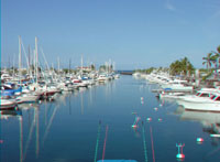 |
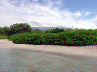
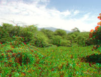
| Hualalai volcano | Back beach vegetation | Harbor next to Kaloko |
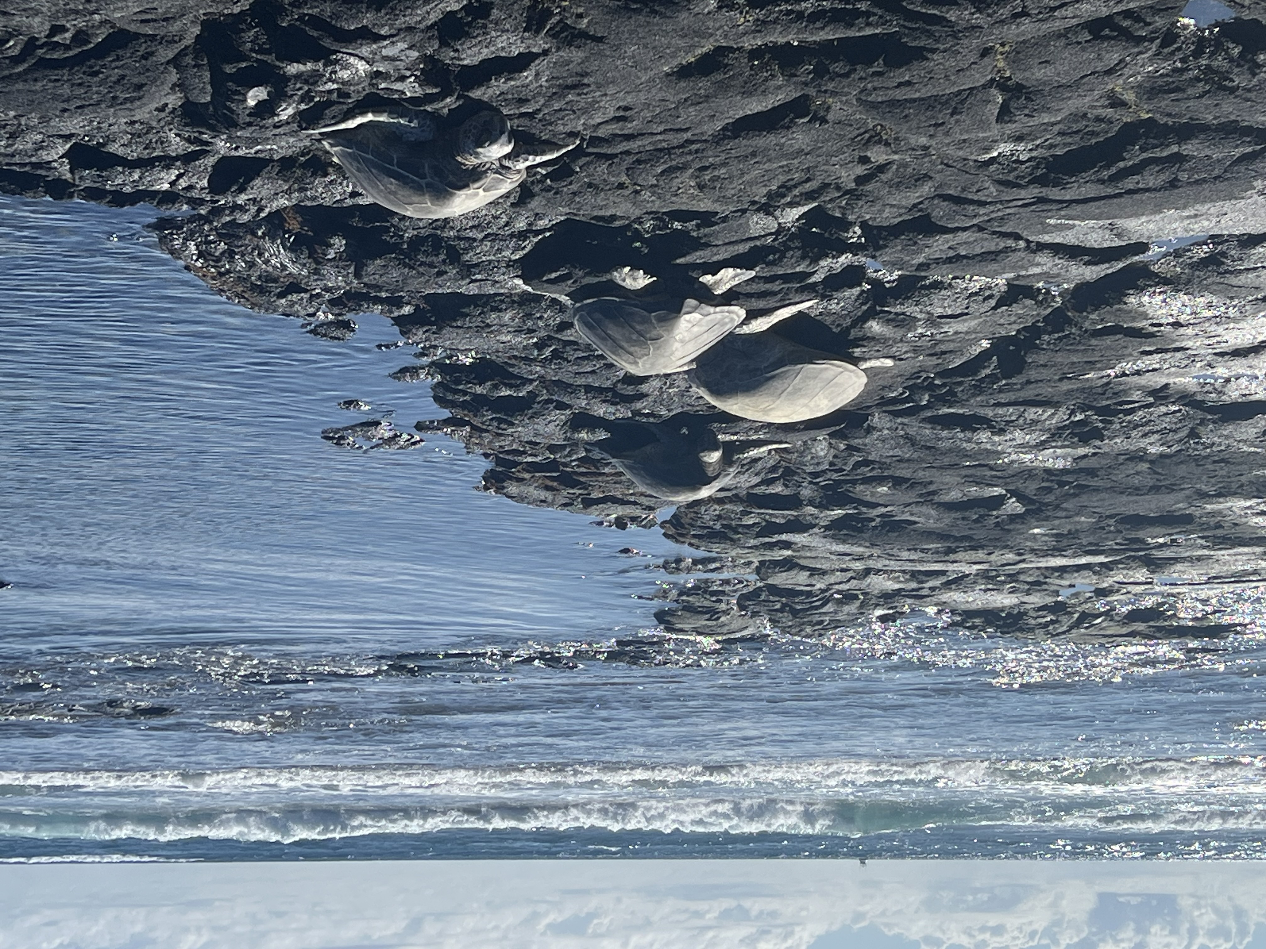 Sea turtles resting. |
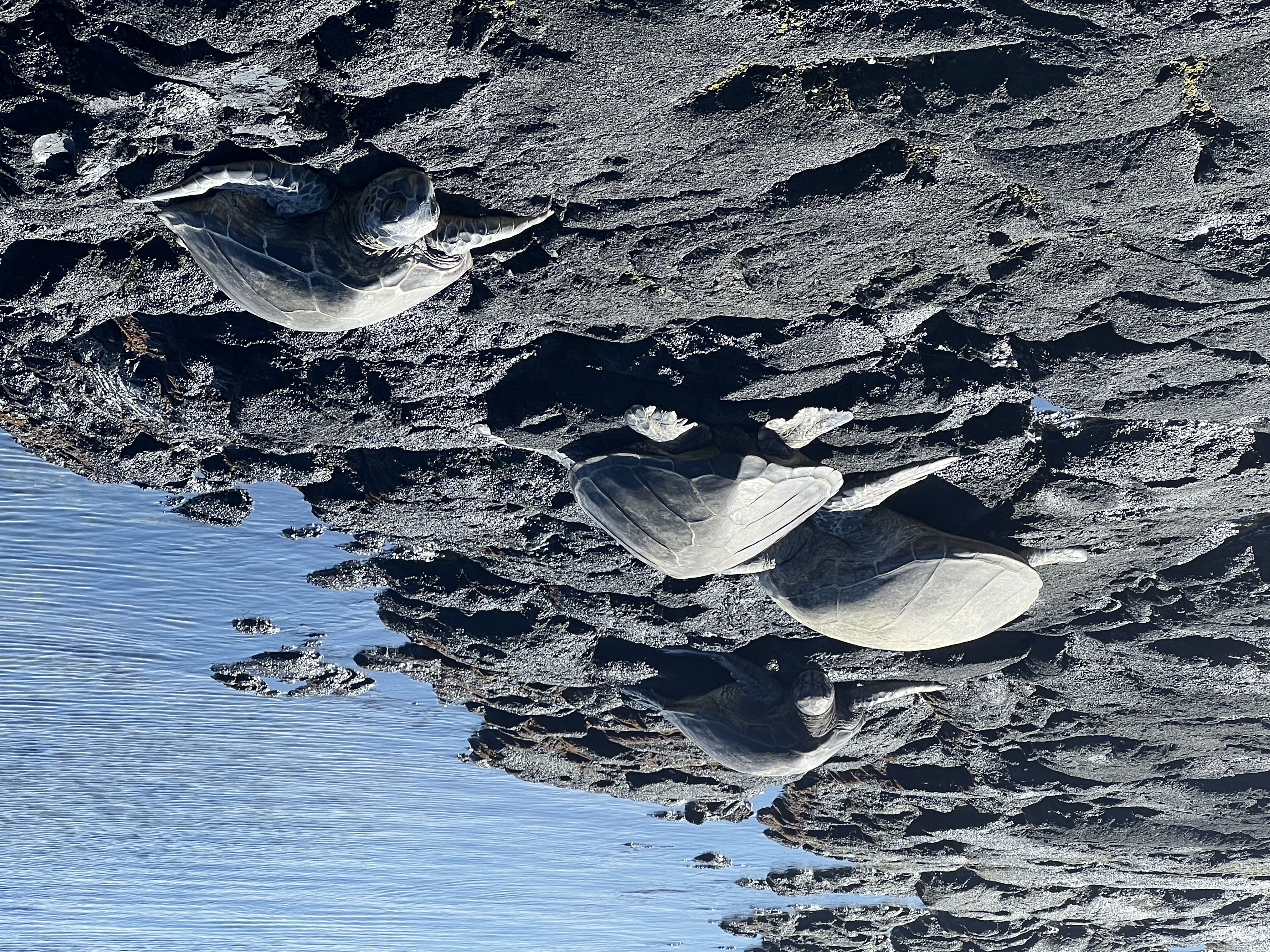 Sea turtles resting. |
 Sea turtles resting. |
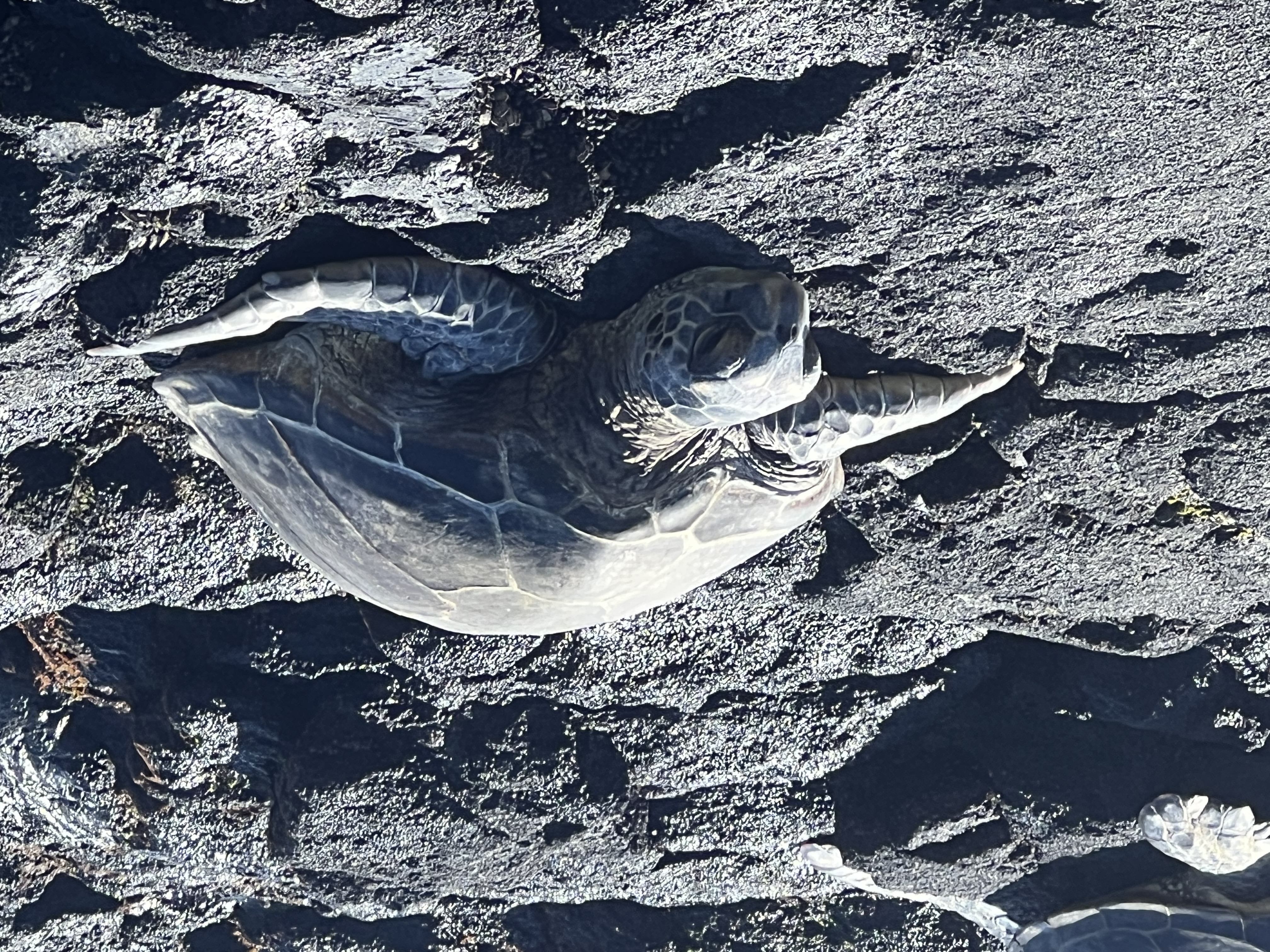 Sea turtle resting. |
Click here to see more geology tours of National Parks
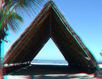
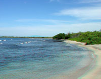
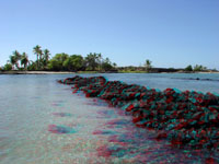
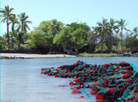
Kaloko-Honokhua National Historic Park is dedicated to historic preservation, protection, and interpretation of native Hawaiian culture and activities. The 1160 acre park was established in 1978 on the site of an ancient Hawaiian settlement on the Kona Coast of the Island of Hawaii. Istoric resources include fishponds, home site platforms (kahua), petroglyphs (ki'i'pohaku), and a religious site (heiau). These are in a setting where ancient lava flows from Hualalai Volcano entered the sea. The park is also a marine and coastal wildlife preserve.
Click here to learn more about Kaloko-Honokohau National Historic Park, Hawaii (National Park Service website: http://www.nps.gov/kaho).
 |
This website contains images produced from stereo photo pairs that were manipulated into anaglyphs (3-D images). You will need red-and-cyan stereo viewing glasses to get the 3-D visual effects. Photography on this website was taken in 2004. Sea turtles were added in 2025. |
| This page is <https://gotbooks.miracosta.edu/gonp/kaho/> Last modified 1/28/2025 |