|
Click here to start a tour of Joshua Tree National Park. Featured with this page are the Coachella Valley Preserve and Painted Canyon--two natural areas near Joshua Tree National Park that are along the San Andreas Fault system, and display many features about the geology and natural history of southern California. |
|
|
|
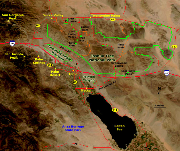
Map of Joshua Tree National Park. Click on the "Next Image" (below) to continue on the image tour, or click on any of the small green dots on the map above to go directly to selected images. |
 |
 |
 |
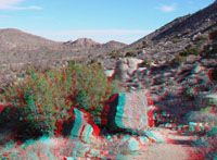
| Near West Entrance | Along Park Boulevard | Along Park Boulevard |
 |
 |
 |
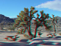
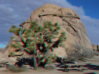
| Quail Springs Picnic Area | Quail Springs Picnic Area | Quail Springs Picnic Area |
 |
 |
 |
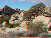
| Quail Springs Picnic Area | Quail Springs Picnic Area | Quail Springs Picnic Area |
 |
 |
 |
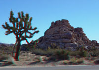
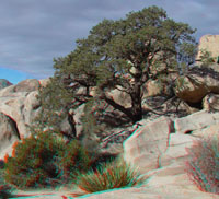
| Hemingway Parking Area | Hemingway Parking Area | Hemingway Parking Area |
 |
 |
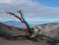 |
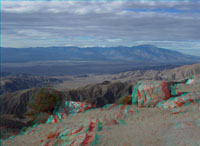
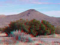
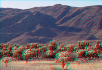
| Keys View (Coachella Valley with San Jacinto Peak) | Keys View (San Gorgonio Pass) | Dead tree at Keys View |
 |
 |
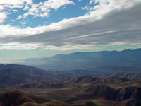 |
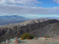
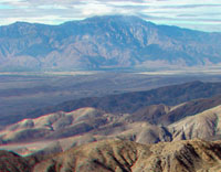
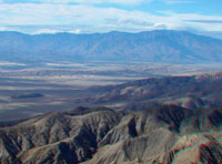
| Keys View (Coachella Valley with San Jacinto Peak) | Keys View (San Gorgonio Peak) | Keys View (Coachella Valley and Salton Sea) |
 |
 |
 |
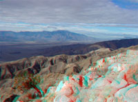
| Keys View (southern Little San Bernardino Mountains) | Keys View (Coachella Valley and Santa Rosa Mountains) | Keys View (Indio Hills with San Andreas Fault scarp) |
 |
 |
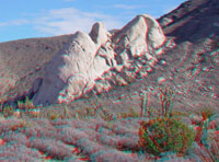 |
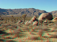
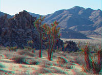
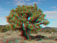
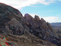
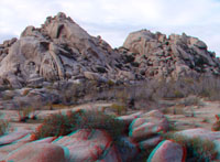
| Joshua tree in Lost Horse Valley | Juniper in Lost Horse Valley | Exfoliating domes of granite on Ryan Mountain |
 |
 |
 |
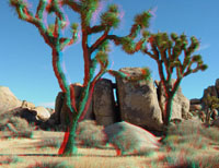
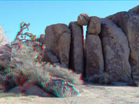
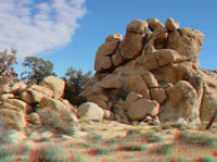
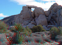
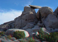
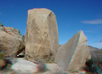
| Boulder arch on Ryan Mountain | Granite outcrops near Ryan Mountain trailhead | Gneiss boulders along Ryan Mountain Trail |
 |
 |
 |
| Exfoliation domes of granite on Ryan Mountain | Lost Horse Valley from Ryan Mountain Trail | Gneiss boulder along Ryan Mountain Trail |
 |
 |
 |
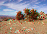
| Yuccas and cairn on top of Ryan Mountain | Lost Horse Valley from top of Ryan Mountain | Boulder arch near Ryan Mountain trailhead |
 |
 |
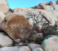 |
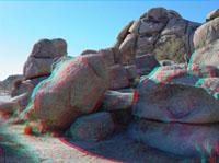
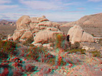
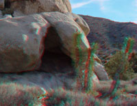
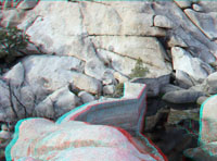
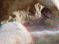
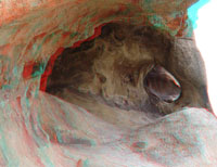
| Cave in granite near Ryan Mountain trailhead | An archeological site near Barker Dam parking area | Dead tree near Barker Dam Reservoir |
 |
 |
 |
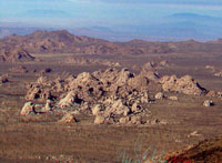
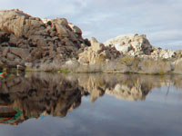
| Wonderland of Rocks near Barker Dam | Barker Dam Reservoir | Barker Dam |
 |
 |
 |
| Petroglyphs and pictographs near Barker Dam | Petroglyphs and pictographs near Barker Dam | Cholla Cactus Garden |
 |
 |
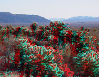 |
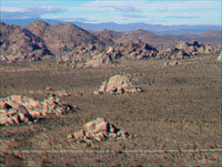
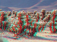
| Cholla Cactus Garden | Cholla Cactus Garden | Cholla Cactus Garden |
 |
 |
 |
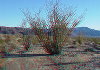
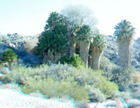
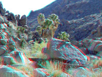
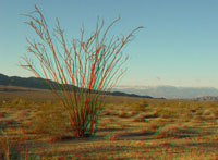
| Ocotillo Patch | Cottonwood Spring | Lost Palms Oasis |
 |
 |
 |
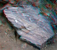
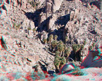
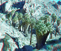
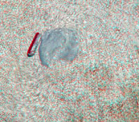
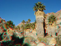
| Lost Palms Oasis | Xenolith in granitic intrusion | Lost Palms Oasis |
 |
 |
See image galleries of nearby areas preserves: |
| Lost Palms Oasis | Ocotillo near south entrance |
Click here to see geology tours of other national parks. Check out the National Park Service's Joshua Tree National Park site - http://www.nps.gov/jotr/ In 1936, Franklin D. Roosevelt set aside 825,000 acres
of California desert as Joshua Tree National Monument. As a result of
mining interest pressures, the park was reduced to 560,000 acres. However,
Congress passed the California Desert Protection Act of 1994 that increased
the park to 794,000 acres and raised its level of protection to national
park status. |
 |
This website contains images produced from stereo photo pairs that were manipulated into anaglyphs (3-D images). You will need red-and-cyan stereo viewing glasses to get the 3-D visual effects. Photography on this website was taken in winter 3003-2004. |
| This page is <https://gotbooks.miracosta.edu/gonp/jotr/> Last modified 12/20/2010 |