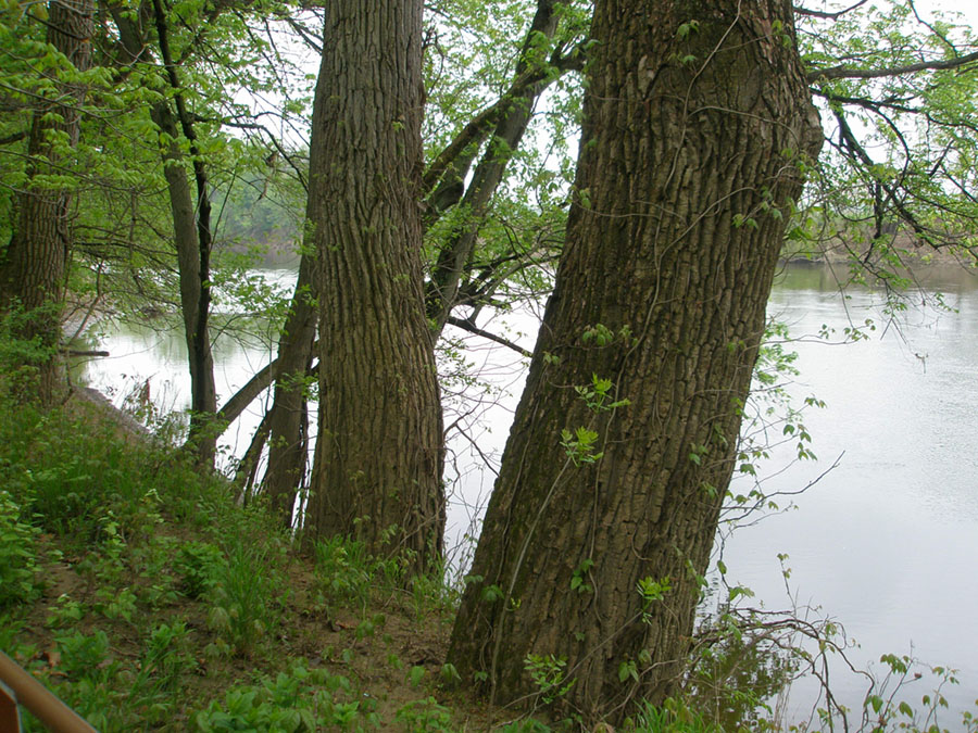
The Scioto River is a controlled river system with flood control dams, levees, and dams with locks and gates for river transportation. In 1831, the Ohio and Erie Canal connected Chillicothe to the Scioto River to the state-wide commerce system. Before the addition of flood control measures, the Scioto River had its last major destructive flood in 1959 when flood waters covered most of nearby Circleville and about a third of Chillicothe. An earlier major flood occurred in 1913. There is no doubt that the ancient Hopewell Indians experience similar floods. Floods have important significant. Floods create the natural landforms associated with floodplains and natural levees, and replenish nutrients to the floodplain soils.