|
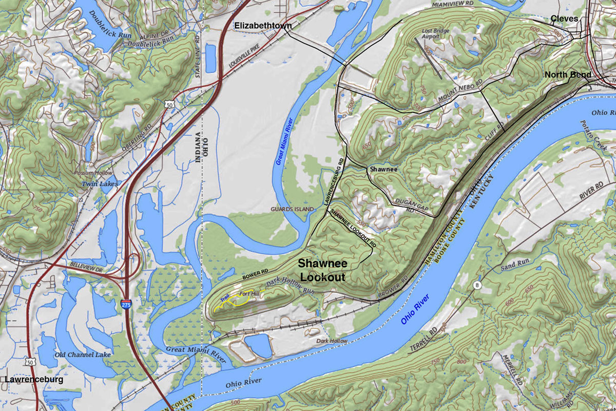
| Map showing the location of Shawnee Lookout Park. Shawnee Lookout is located in the southwest corner of Ohio near the town Cleves in Hamilton County (on the west side of Cincinnati Ohio) in the vicinity of the intersection of the state borders of Ohio, Kentucky, and Indiana. The park encompasses a ridgeline with overlooks of the confluence of the Ohio River and Great Miami River. Shawnee Lookout Park encompasses 2,430 acres. The park is part of the Shawnee Lookout Archaeological Districts which includes forty-six known archaeological sites within a 2,000 acre area. |