Cuyahoga Valley National Park
| Cuyahoga Valley National Park was founded in 1974. Before becoming a national park, the Cuyahoga River Valley was practically described as an environmental disaster. Most of its original forests were cut down in the late 19th to early 20th centuries. Industrialization and expanding urban development contributed to toxic pollution in the Cuyahoga River, enough that it actually "caught on fire" in 1969. Fortunately, regional awareness led to efforts to restore the natural setting of the valley and preserve some of its historical buildings and agricultural activities. It is now among the most visited national parks. |
The Cuyahoga River slices through the a northern portion of the Appalachian Plateau country of northeastern Ohio. River flows through a broad canyon carved through a series of Paleozoic-sedimentary rock formation that formed from sediments deposited in ancient shallow seas or the coastal plains exposed along the margins along sea as sea level rose and fell. Cliffs of sandstone and conglomerate crop out along the the nearly 400 foot high hillsides that border the valley. Hillsides covered with hardwood forests dominated with shale bedrock slopes along the valley. Prior to glaciations of the Pleistocene ice ages, rivers cut into the escarpment of the plateau. During the glaciation periods, north-draining rivers were blocked and rerouted by the flowing glaciers. Glacial deposits cover the bedrock and are preserved in many locations along the valley. Geologic processes associated with weathering, erosion and land sliding are still impacting the valley, in addition to human activities changing the landscape. 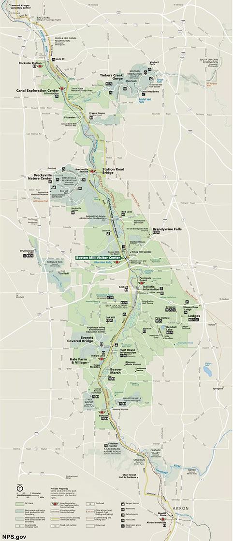
Map of Cuyahoga Valley National Park. Click on the map for a larger view or go to the Cuyahoga Valley National Park Maps website.
|
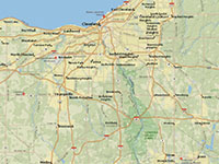
Regional map of northern Ohio showing the location of Cuyahoga Valley National Park.
|
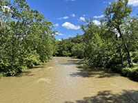
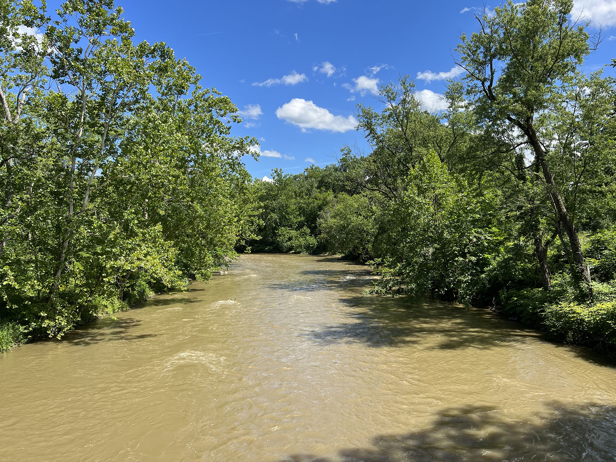
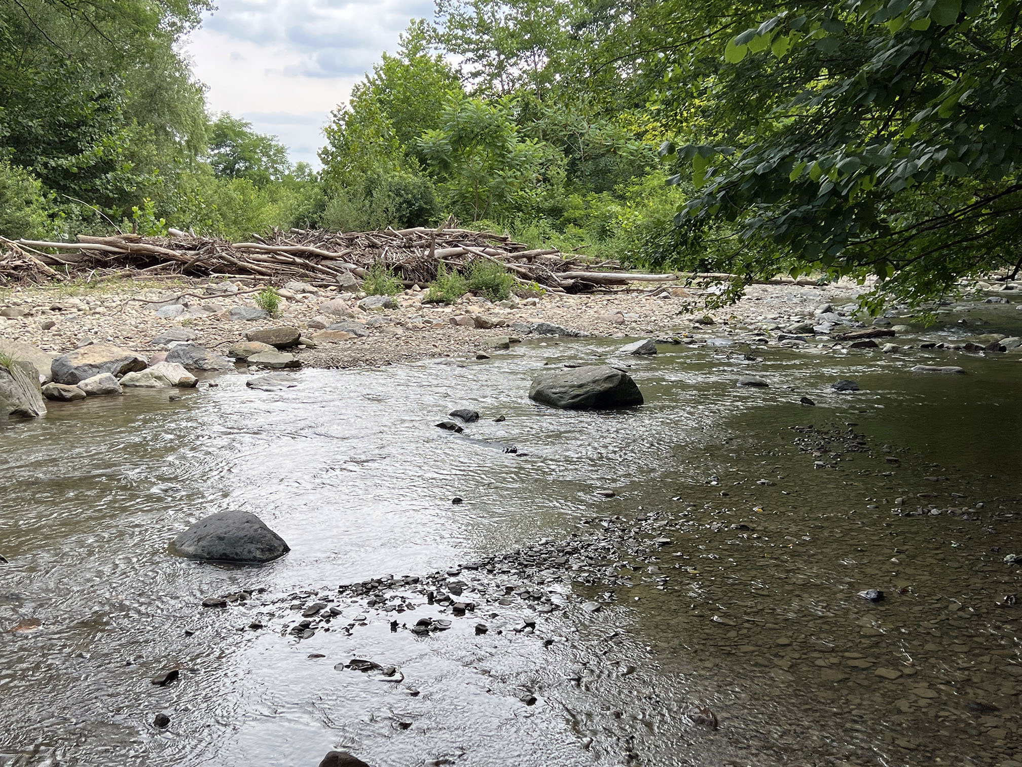
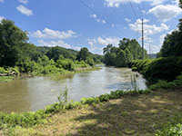
The Cuyahoga River in flood in August 2022 near Boston in Cuyahoga Valley National Park.
|
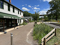
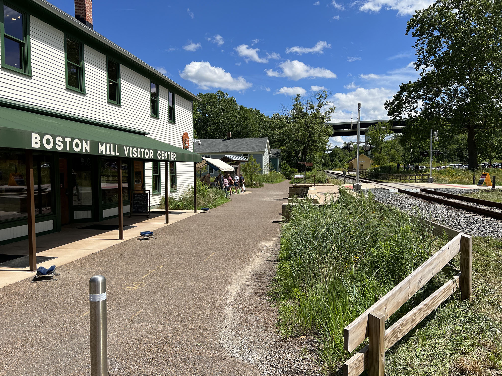
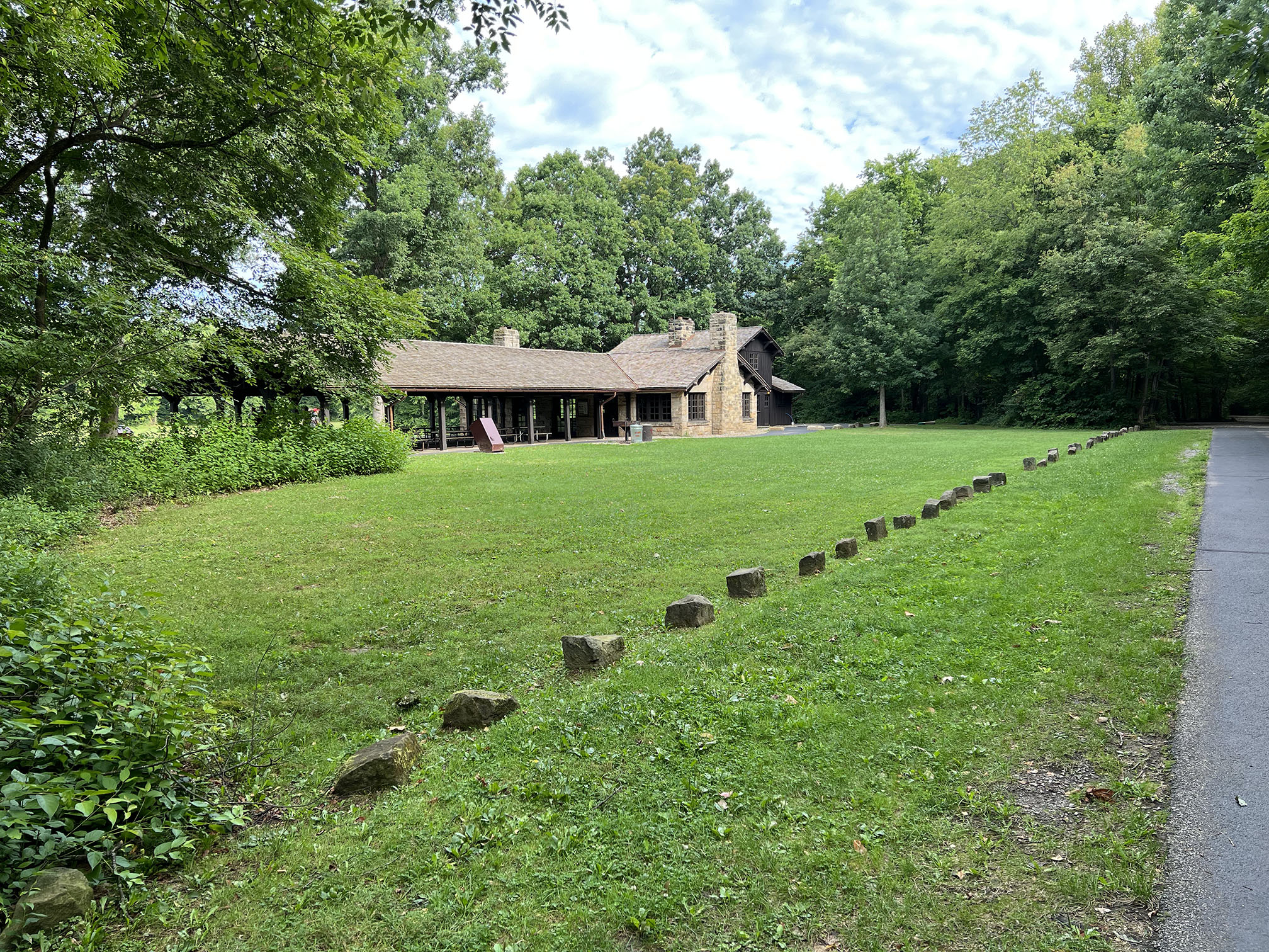
Boston Mill Visitor Center and train depot for the Cuyahoga Valley Scenic Railroad.
|

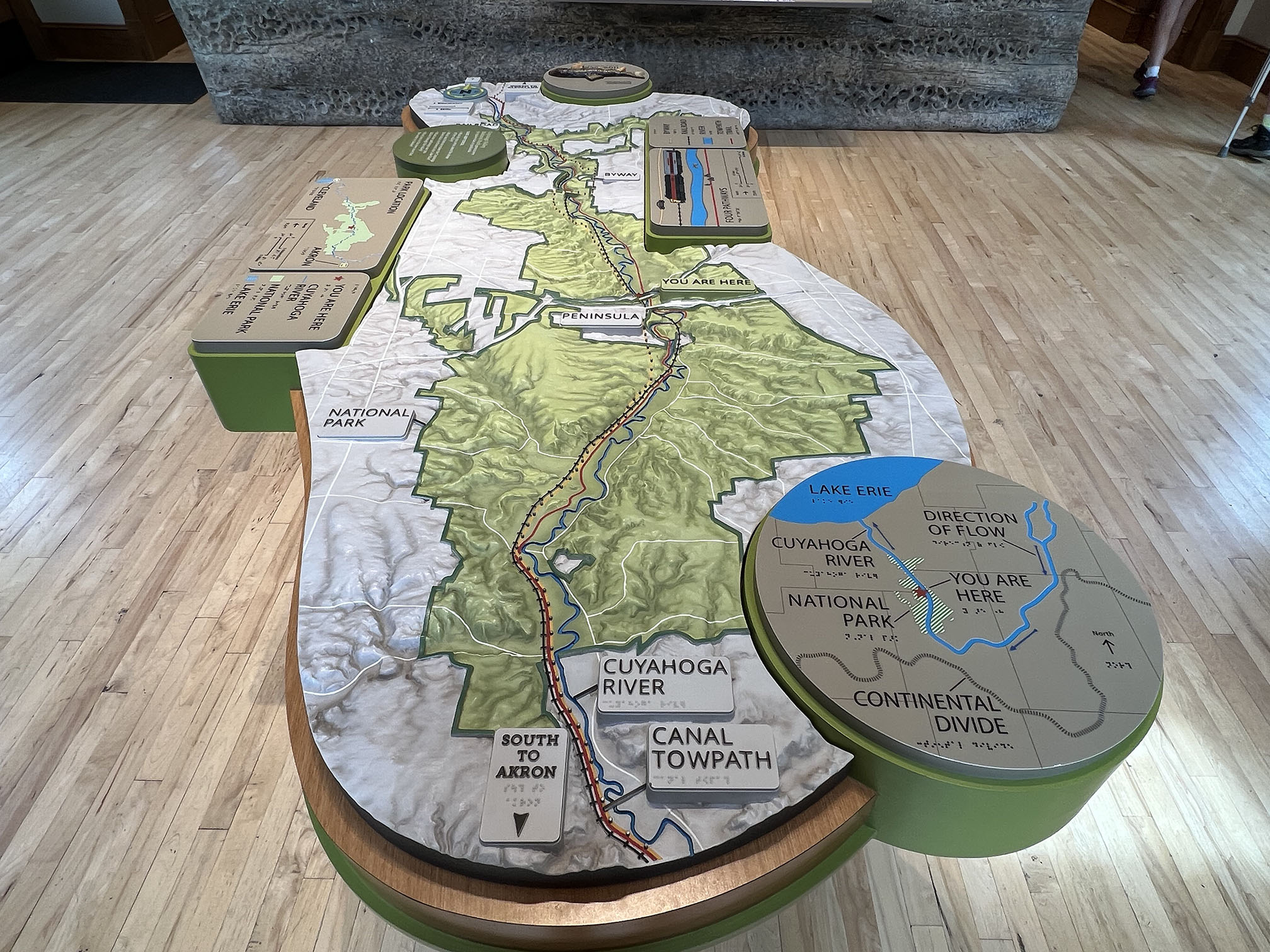
Relief map of the Cuyahoga Valley National Park area on display at the Boston Mill Visitor Center. |
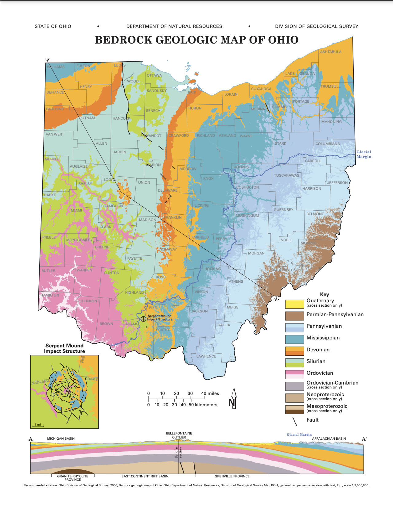
Bedrock geologic map of Ohio. |

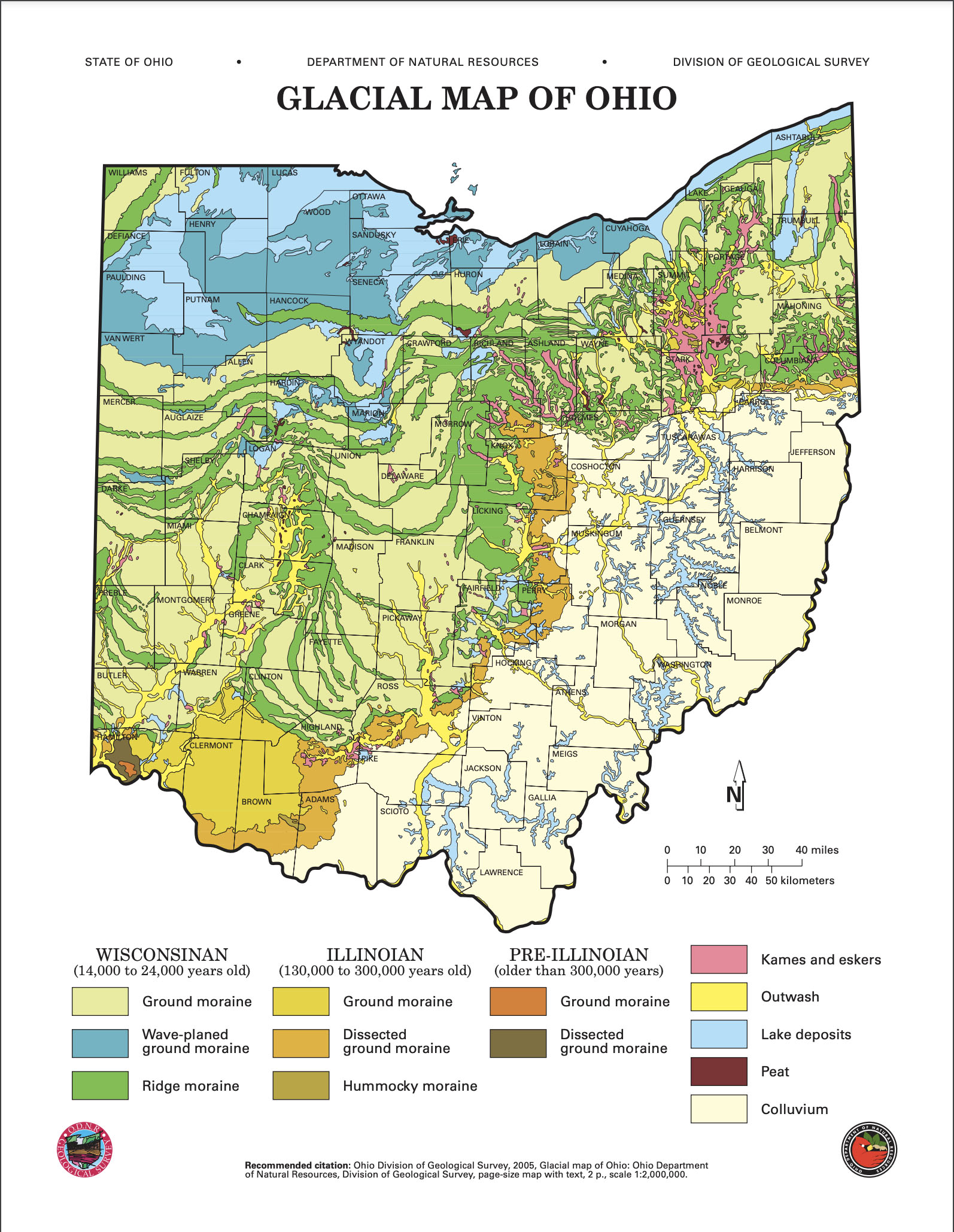
Glacial map of Ohio.
|
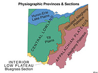
Physiographic provinces and sections of Ohio's landscapes. |
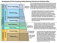
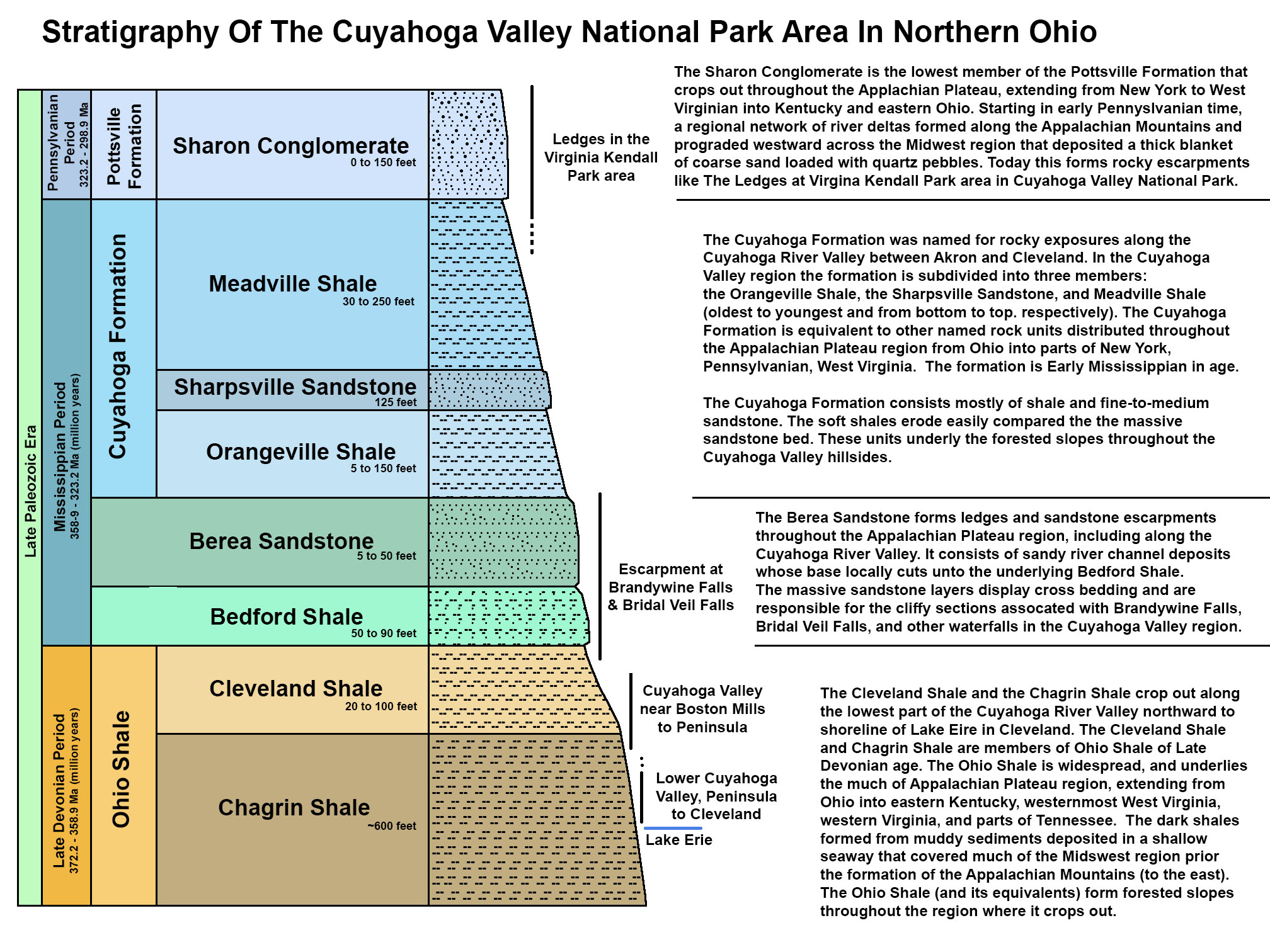
Stratigraphy of the Cuyahoga Valley National Park area. |
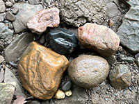
Glacial erratic cobbles and pebbles of quartzite (orange), basalt (black), granite gneiss (pink), and quartz (white) in a gravel bar along the Cuyahoga River near Boston Mills, Ohio.
The glacial erratics are Precambrian age (billions of years old in some cases) from source areas in Canada. In contrast, the native local bedrock is sedimentary rock (shale & sandstone) of Paleozoic age. The quartz pebble are probably from local beds from Sharon Conglomerate, such as in the Ledges area.
|
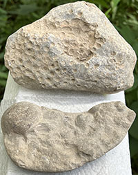
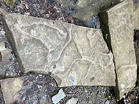
Fossils: tabulate coral (top) and spiriferid brachiopods (bottom), probably of Late Devonian to Early Mississippian age. These were preserved in limestone nodules or concretions. Some of the shale and siltstone beds in the Devonian and Mississippian rock formations are locally fossiliferous. These are specimens from gravel bars. |
The Brandywine Falls Area Trails
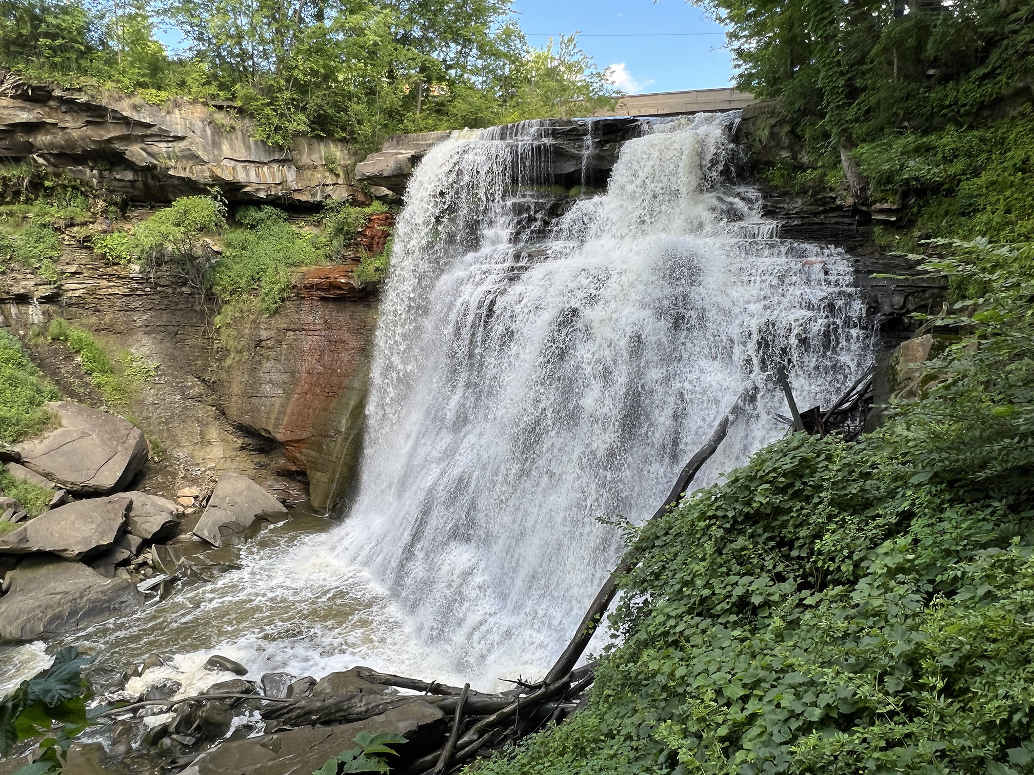
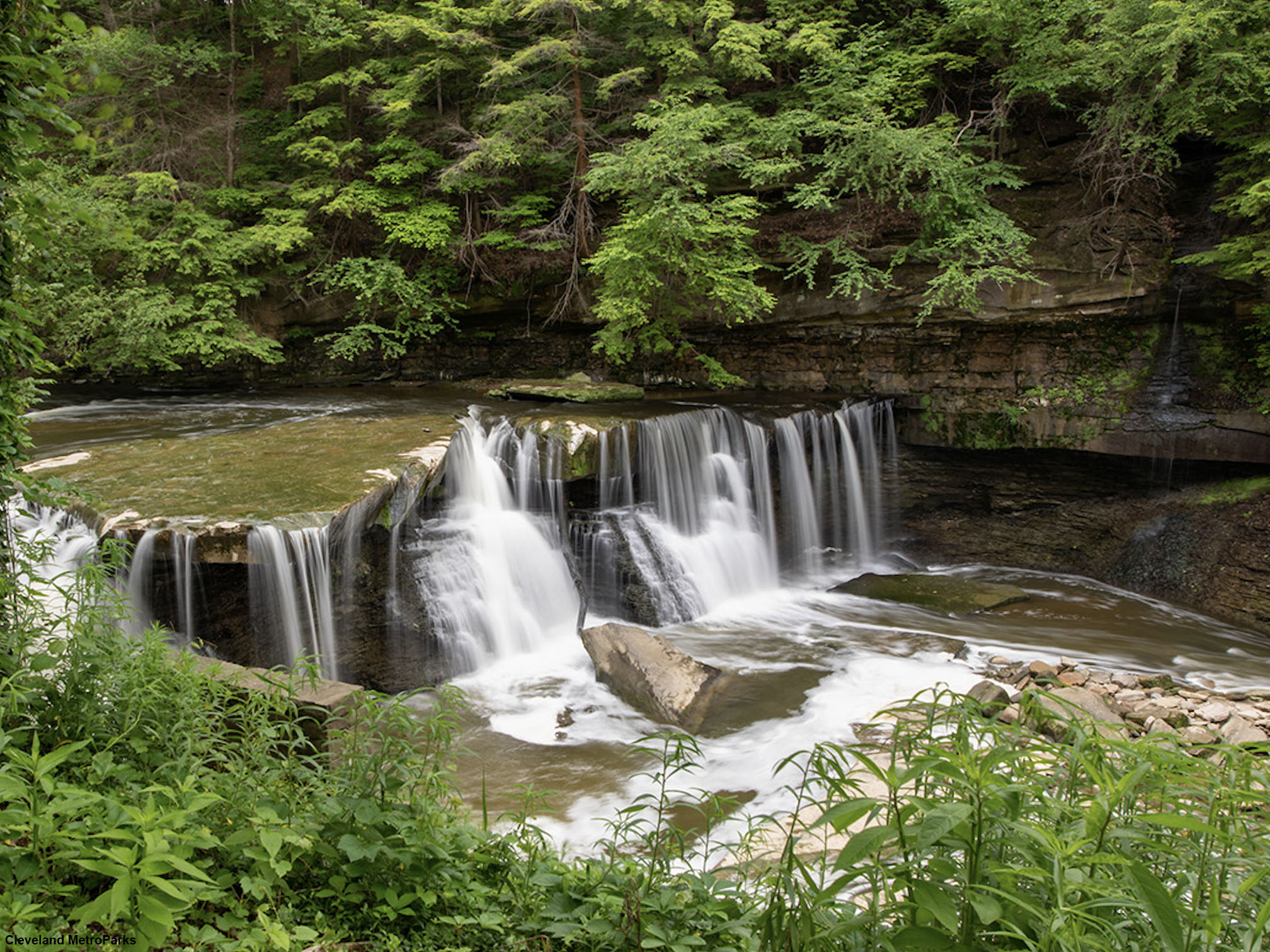
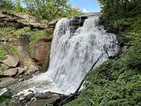
The Brandywine Falls Area Trails (map) are among the most popular hiking destination in the park. Brandywine Falls is about a 2.2 mile hike from the Boston Mill Visitor Center and involves walking to the Stanford Farmstead and then taking the Stanford Trail through rolling, forested country before reaching the falls. Brandywine Falls is about 40 foot cascade where Brandywine Creek tumbles over ledges in the massive, cross bedded Berea Sandstone of Early Mississippian age. |
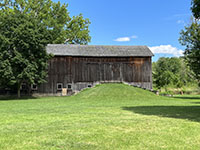
The park preserves many historic structures, such as this barn near the Stanford House. |
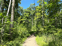
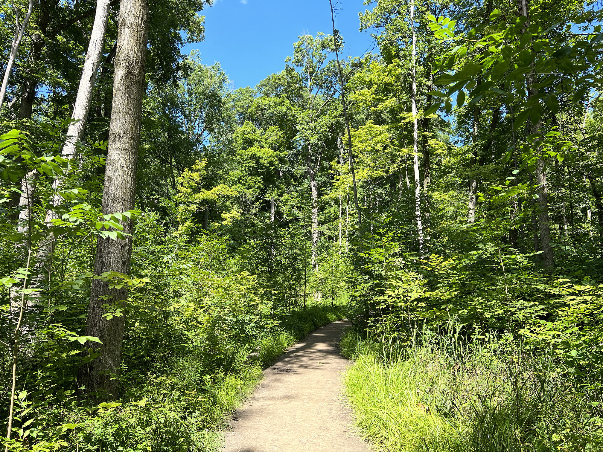
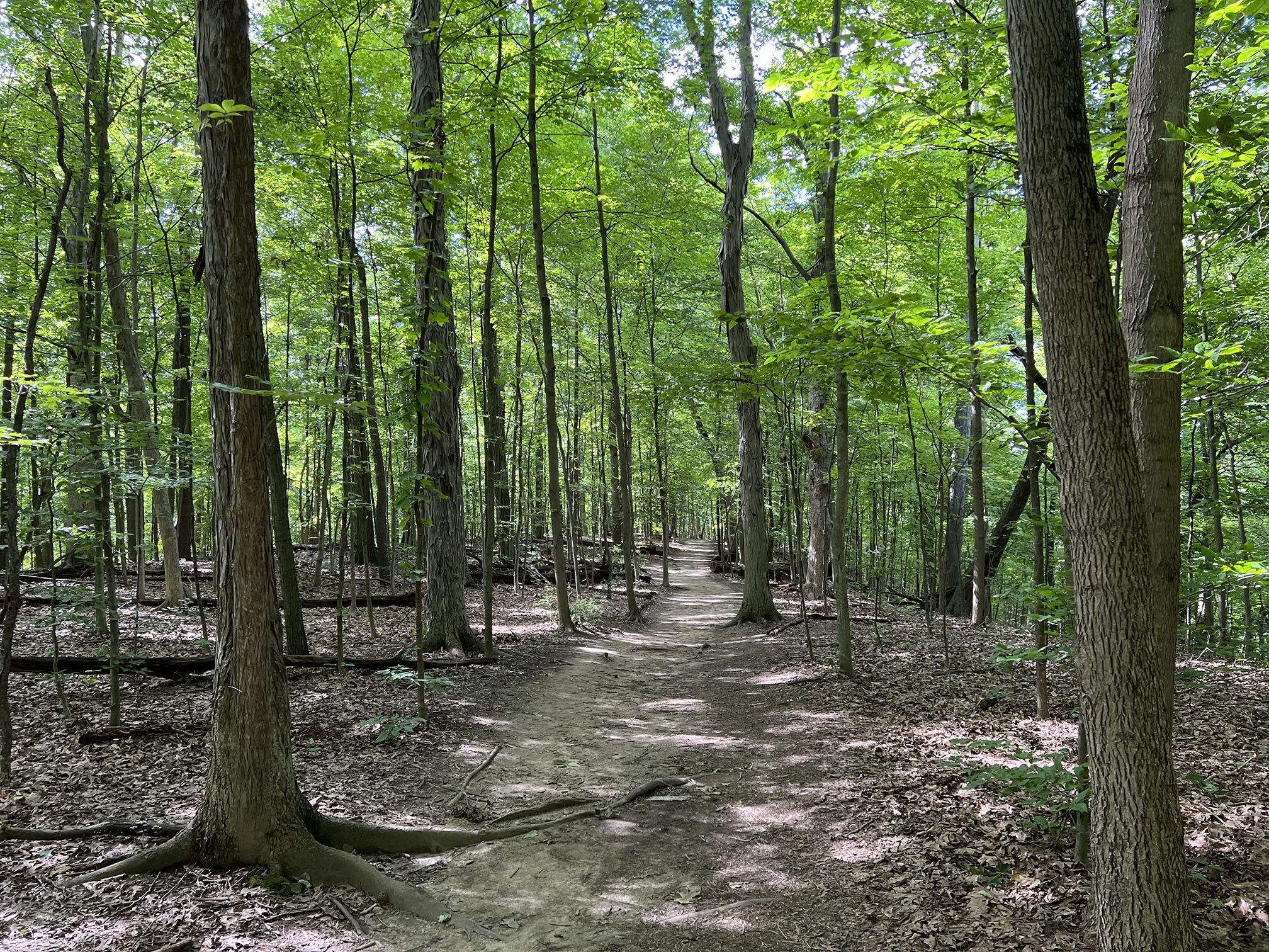
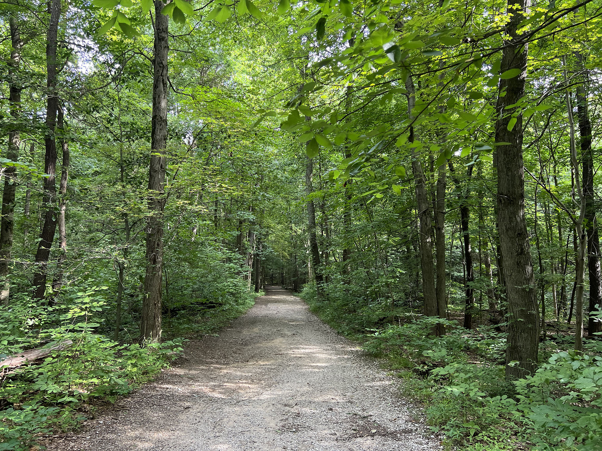
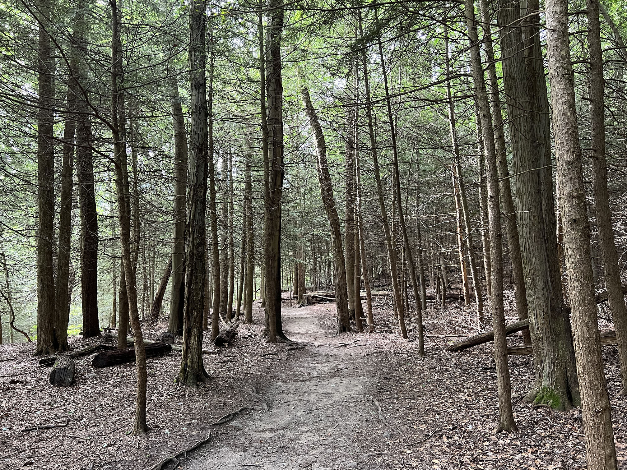
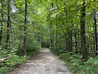
Deciduous forest along the Stanford Trail to Brandywine Falls. |
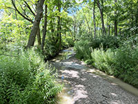
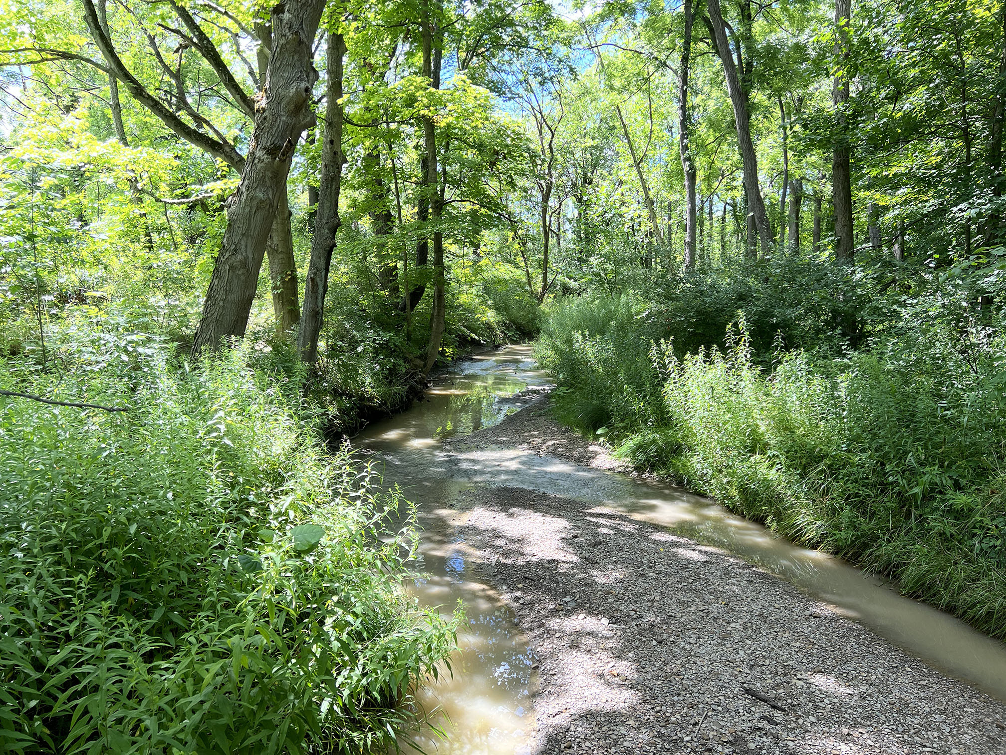
Stanford Creek along the Stanford Trail leading to Brandywine Falls. |
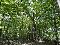
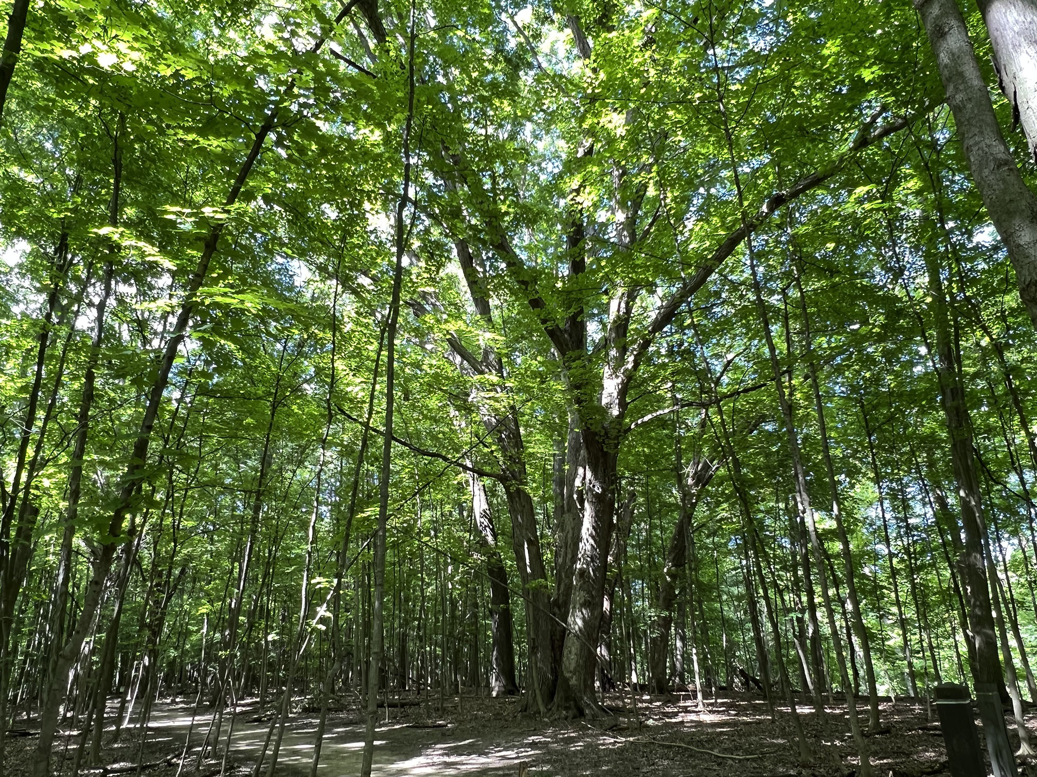
A mature oak tree in the forest along the Stanford Trail to Brandywine Falls. |

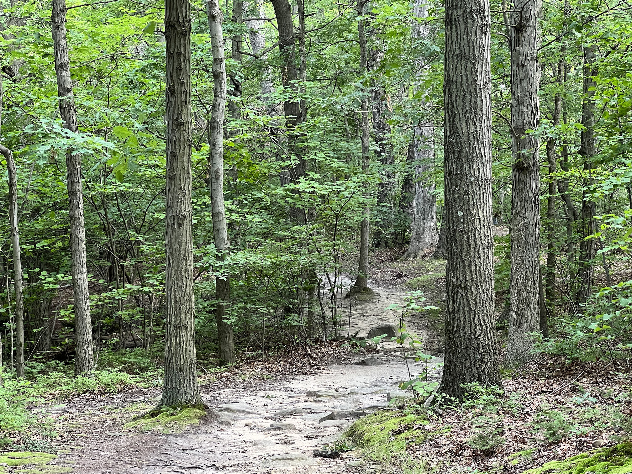
Oak, hickory, and beech forest along the Stanford Trail to Brandywine Falls.
|
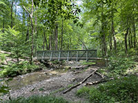
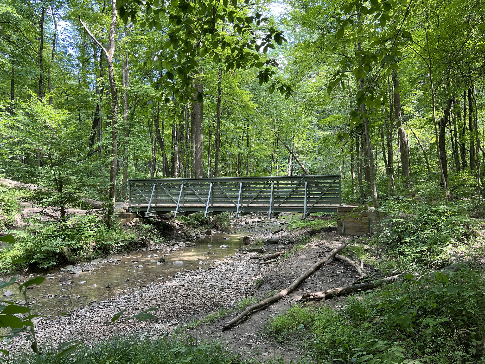
Bridge over a tributary of Brandywine Creek along the Stanford Trail. |

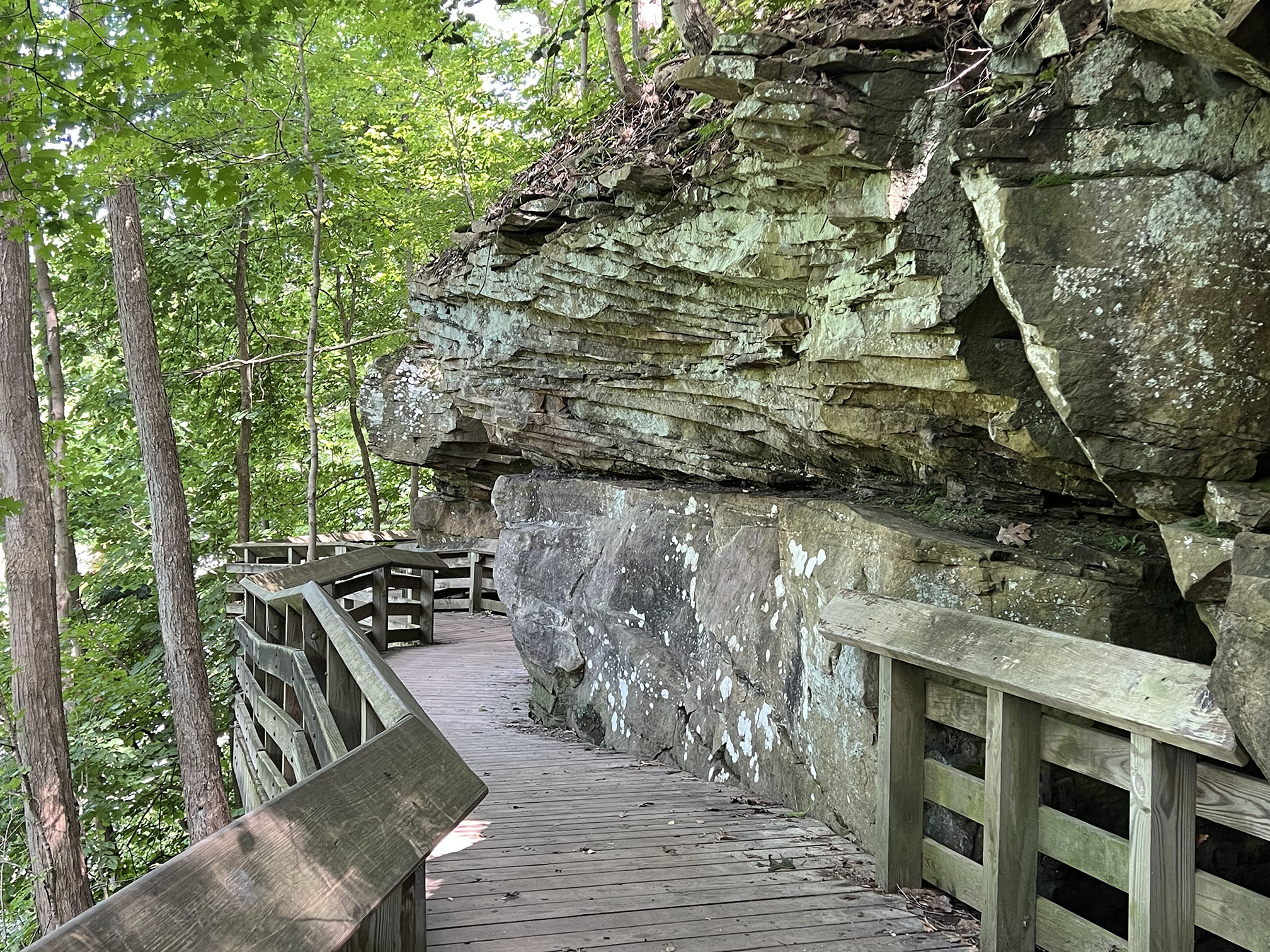
A boardwalk along cross-bedded Berea Sandstone along the Brandywine Falls Trail. |
Brandywine Falls tumbles from ledges in the Berea Sandstone. |
|
Blue Hen Falls and Buttermilk Falls
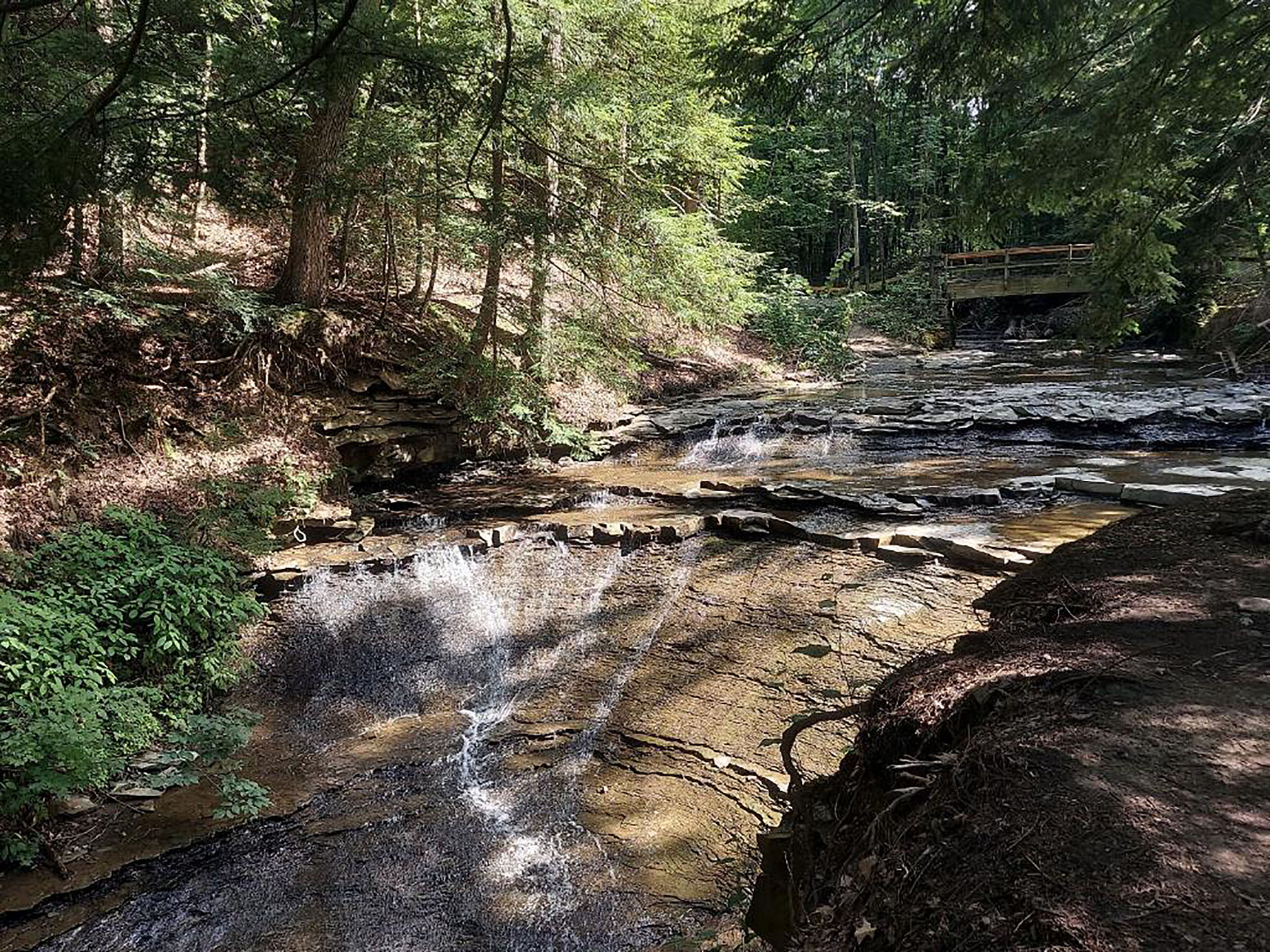
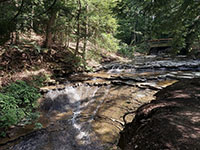
The Blue Hen Falls is another scenic hiking destination in the Boston Mills area. The round-trip hike to the falls starts at the Visitor Center and is about 3 miles. Note, however, the hike on a well-maintained path involves an elevation climb of about 580 feet (hundreds of stairs and is not for everyone!). Blue Falls flows off a sandstone caprock escarp cutting into the softer Bedford Shale underneath.
The trail to Blue Hen Falls is maintained, but the trail to Buttermilk Falls is not. This unimproved trail trails starts at Blue Hen Falls and basically follows the creek down to the lower falls. The 0.6 mile trail is muddy in spots, crosses lots of tree roots and fallen trees, and requires 3 stream crossings - and is definitely not for everyone. Buttermilk Falls cascades down through the Cleveland Shale and Chagrin Members of the Ohio Shale. |

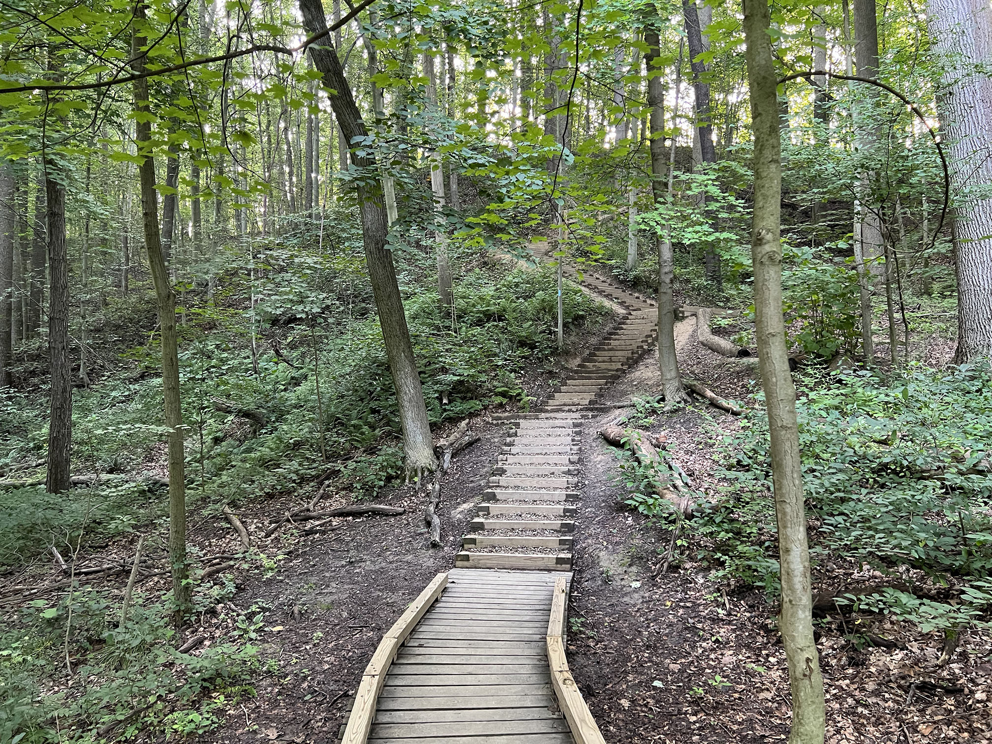
A stretch of 154 stair step in one section of the Blue Hen Trail.
|

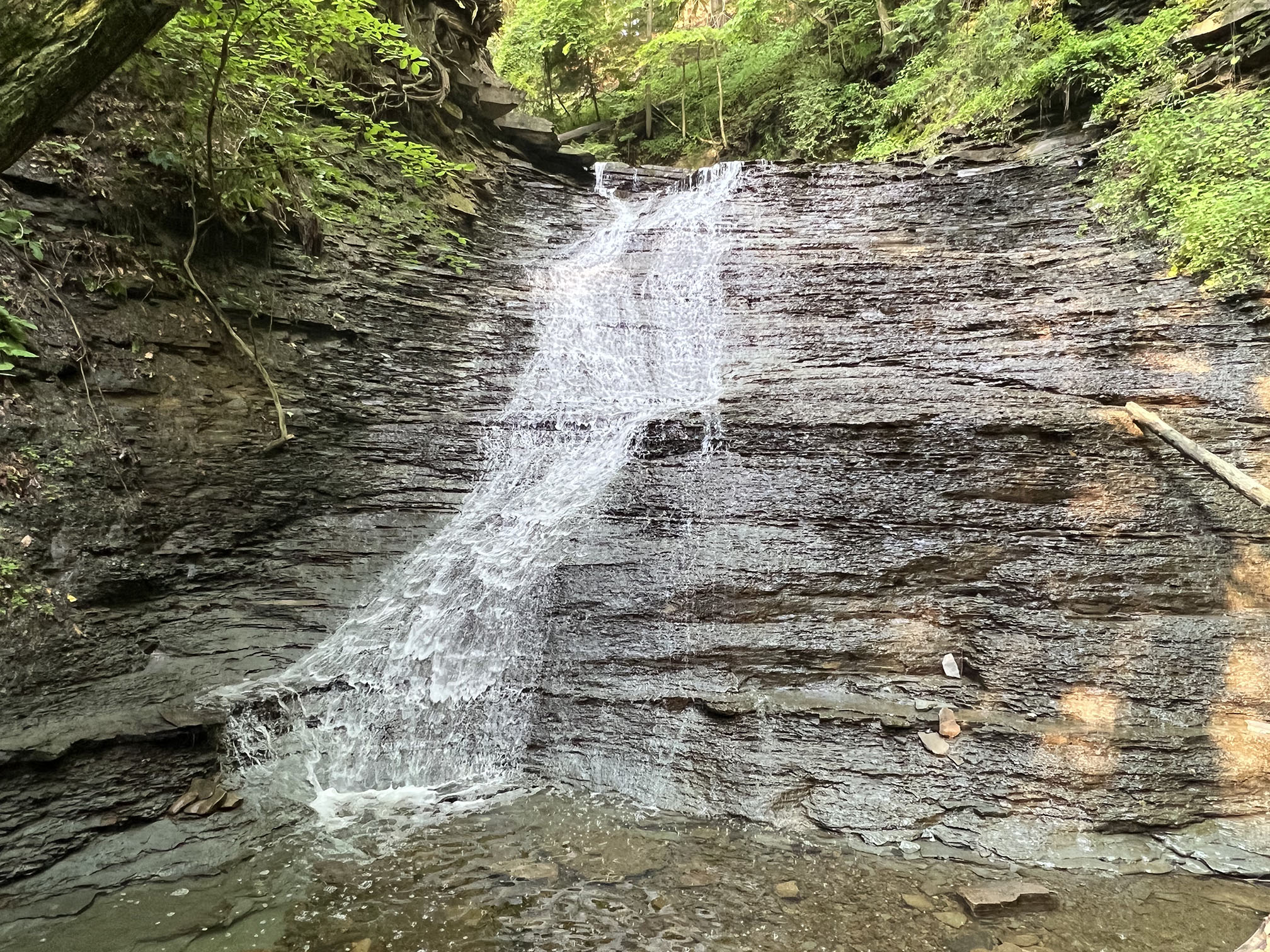
Blue Hen Falls tumbles off a rock ledge of Berea Sandstone. |

Buttermilk Falls is located about 1/2 mile down the canyon below Blue Hen Falls. |
Fossil ripple bedding preserved on sand beds within the lower the Bedford Shale. |
|
Virgina Kendall Park Area - Ledges Area
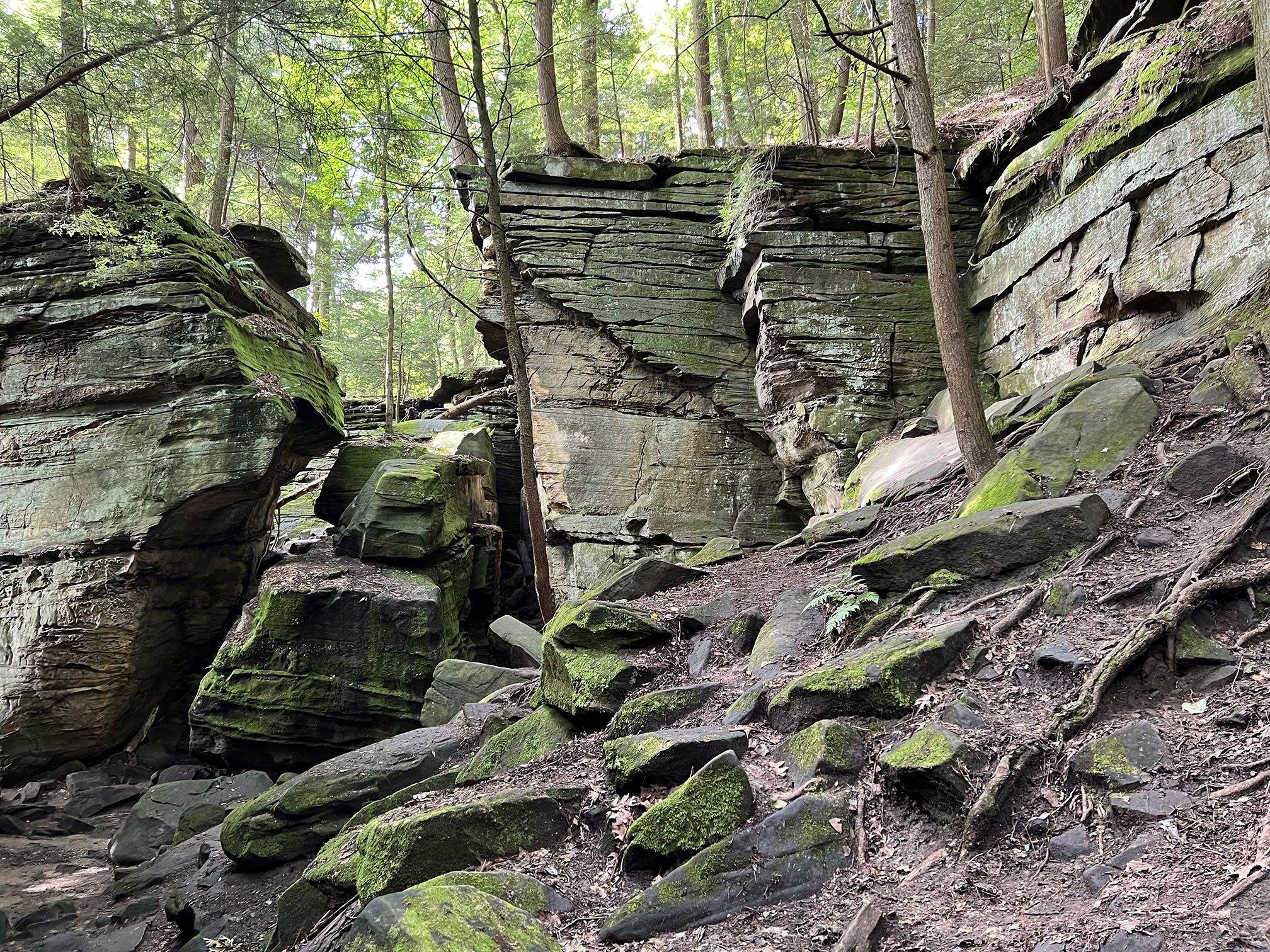
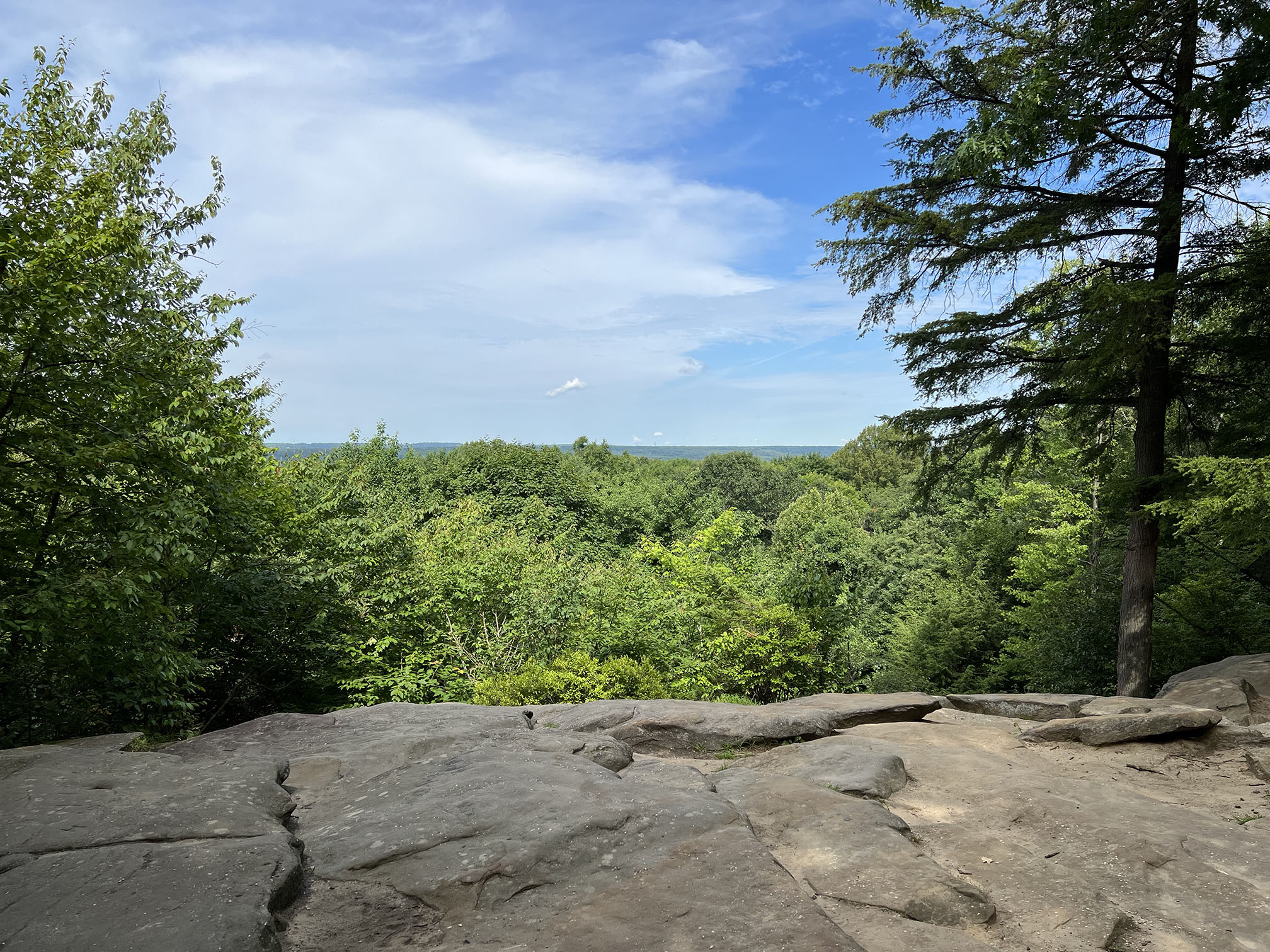
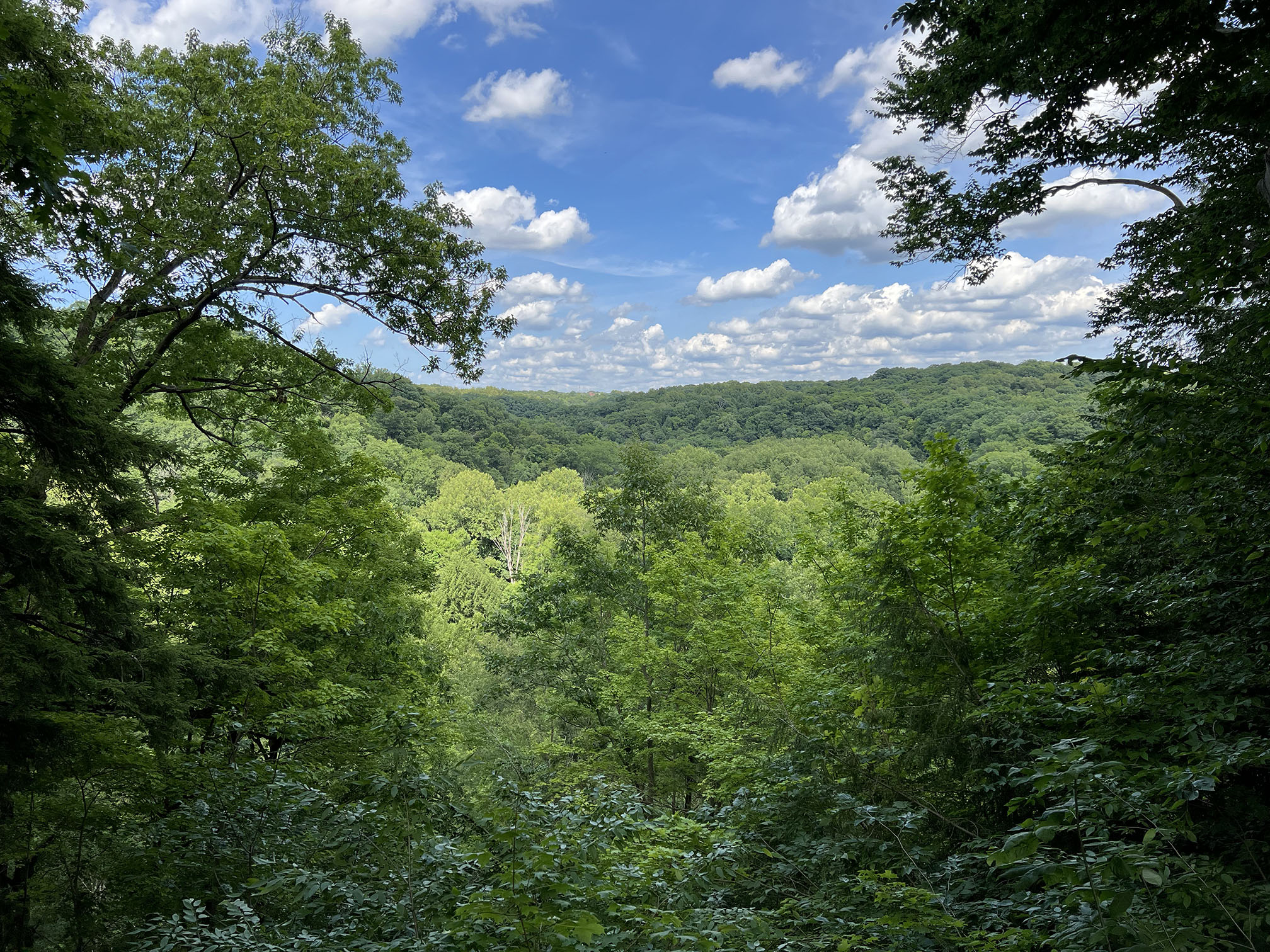
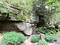
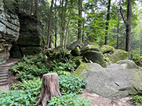
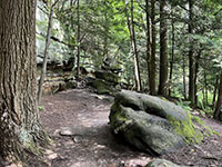
The Ledges Area (map) in the Virginia Kendall Park portion of the national park is host to some of the best scenery (from a geologic point of view). The Ledges Area is a flat-top mesa surrounded by an escarpment of Sharon Conglomerate Member of the Pottsville Formation (early Pennsylvanian in age). From the parking area near the Ledges Shelter, follow the Ledges Trail to the north. The cliff ledges begin near Ice Box Cave (a metal gate has been installed to protect this bat hibernation site). The Ledges cliff escarpment wraps around the north and west side of the mesa. The Overlook at the south end of the mesa provides one of the best views of the central Cuyahoga Valley area. |

Ledges Shelter in the Virginia Kendall - Ledges Trails area |
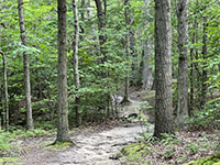
Ledges Trail through the forest north of the Ledges Shelter |
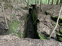
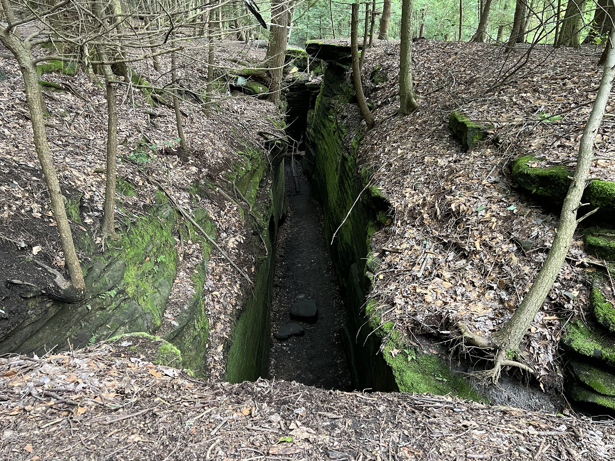
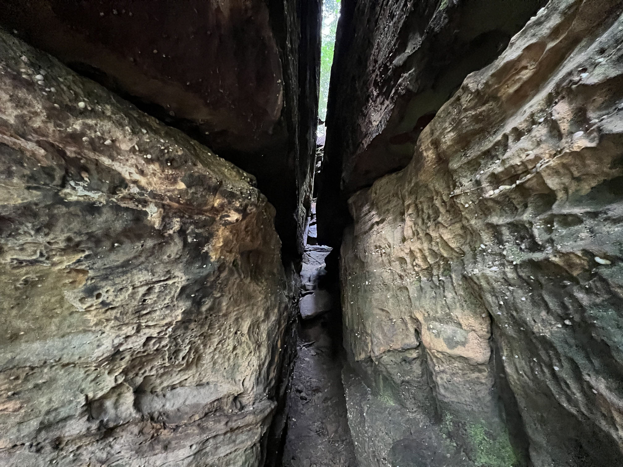
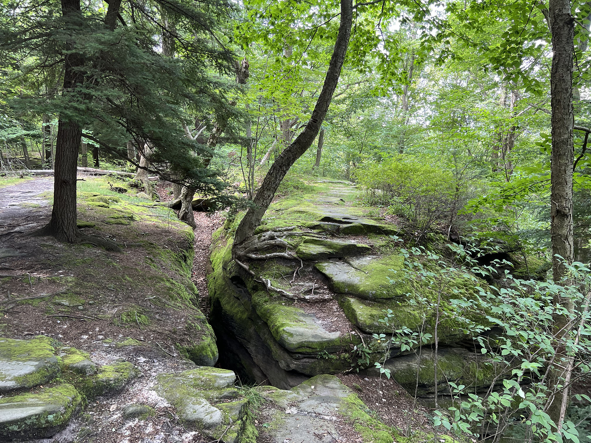
An open joint (chasm) along the Ledges Trail |
Steps down through the cliff at the north end of the Ledges. |
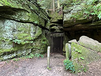
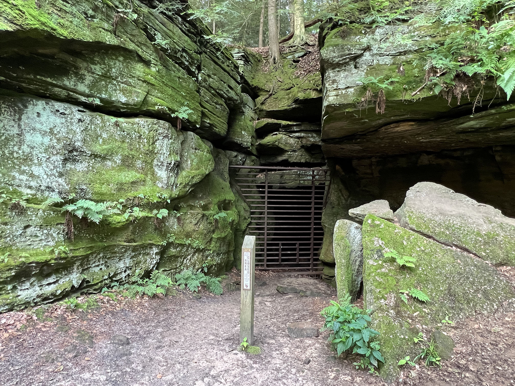
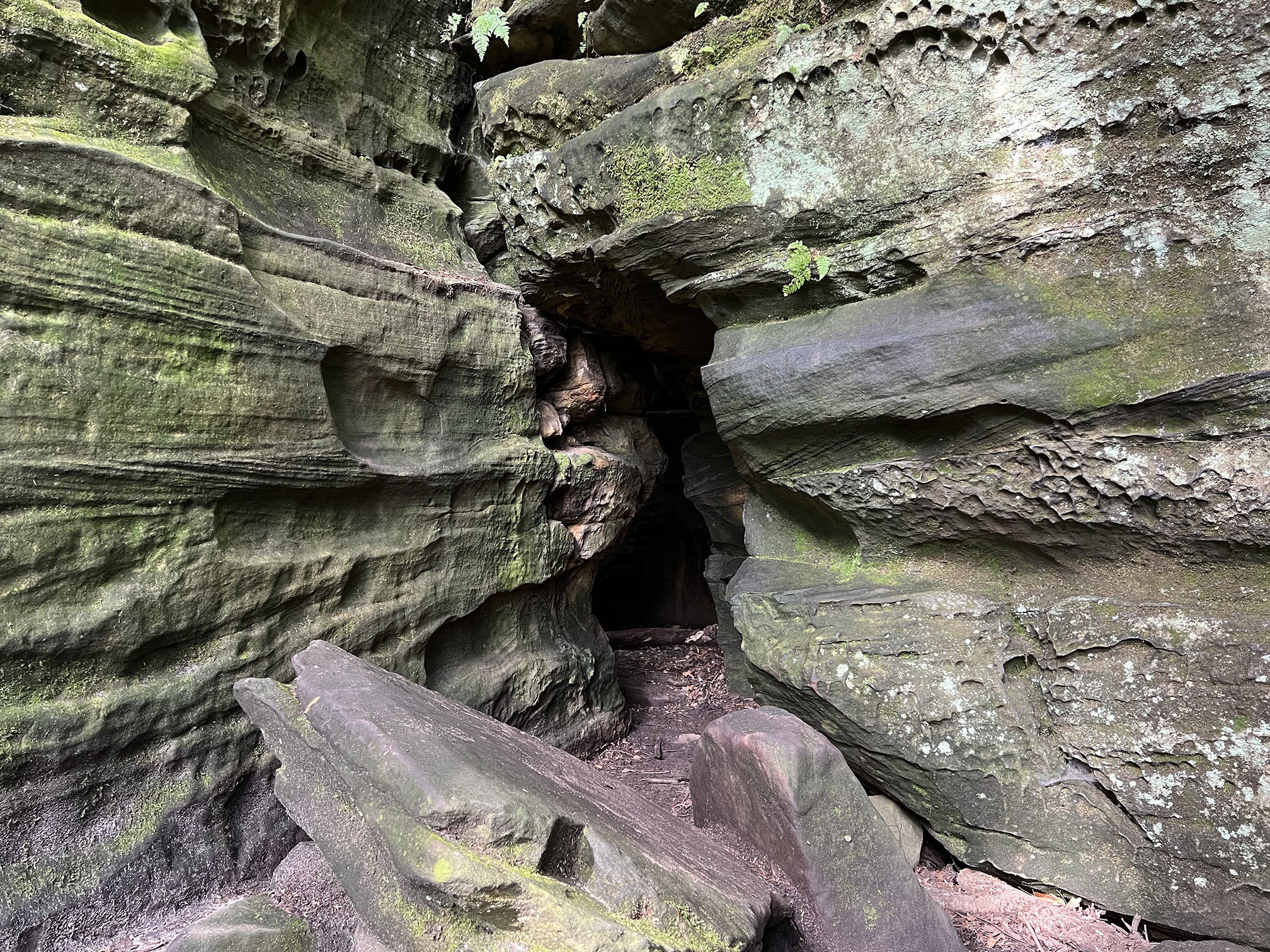
Entrance to Ice Box Cave (closed for bat protection) along the Ledges Trail. |
Large boulder pile from a rock fall near Ice Box Cave along the Ledges Trail. |
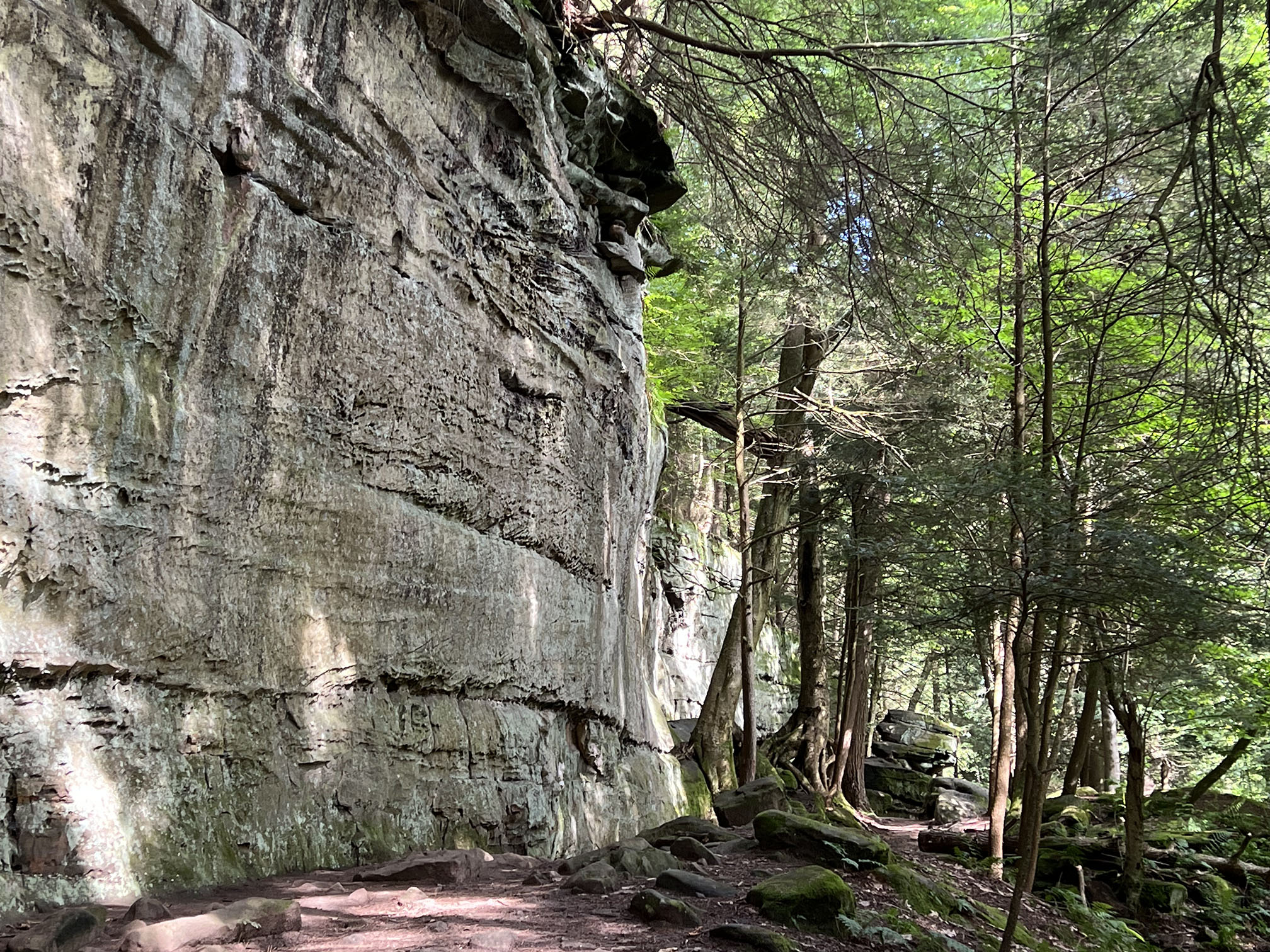
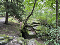
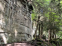 Massive cliff of the Sharon Conglomerate exposed in the Ledges escarpment. Massive cliff of the Sharon Conglomerate exposed in the Ledges escarpment. |
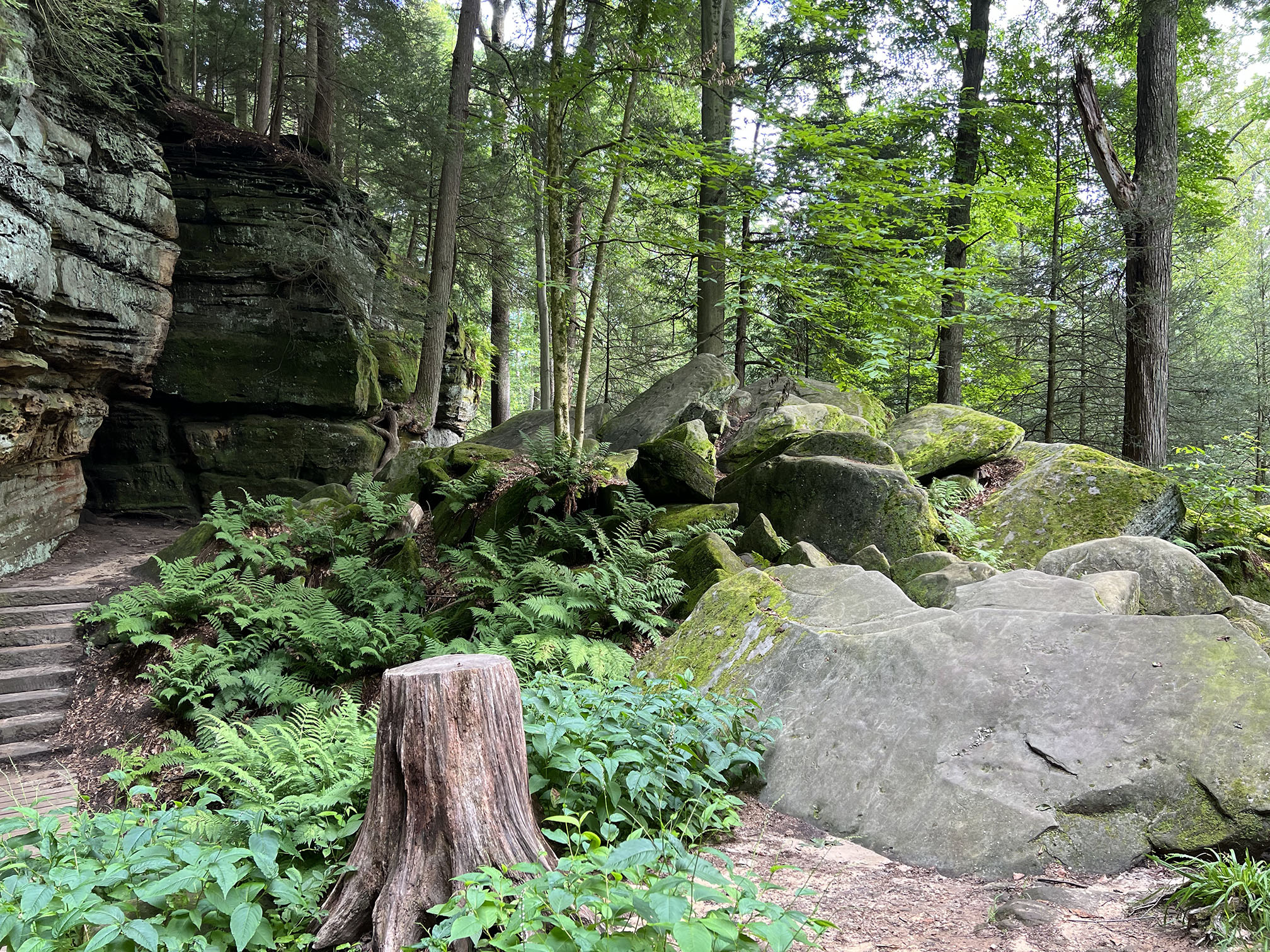
Boulders and balanced rocks below the cliffs along the Ledges Trail. |
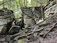
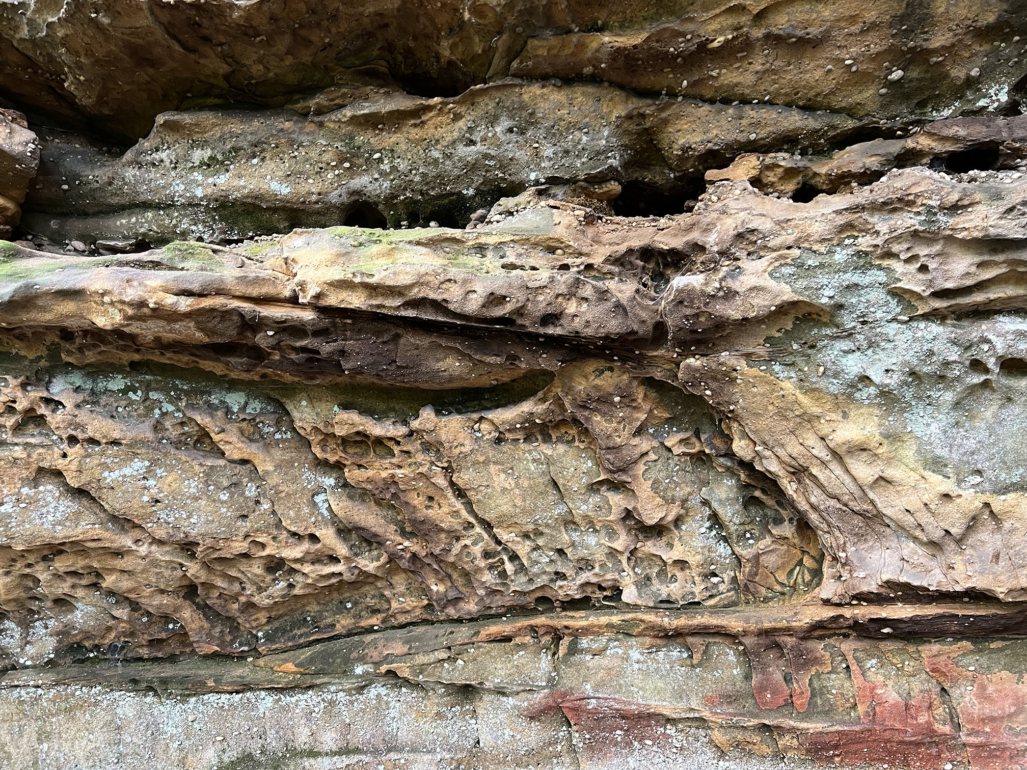
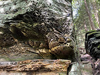
Sharp corners along fracture surfaces and bedding planes in the Sharon Conglomerate exposed in the Ledges. |
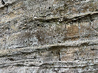
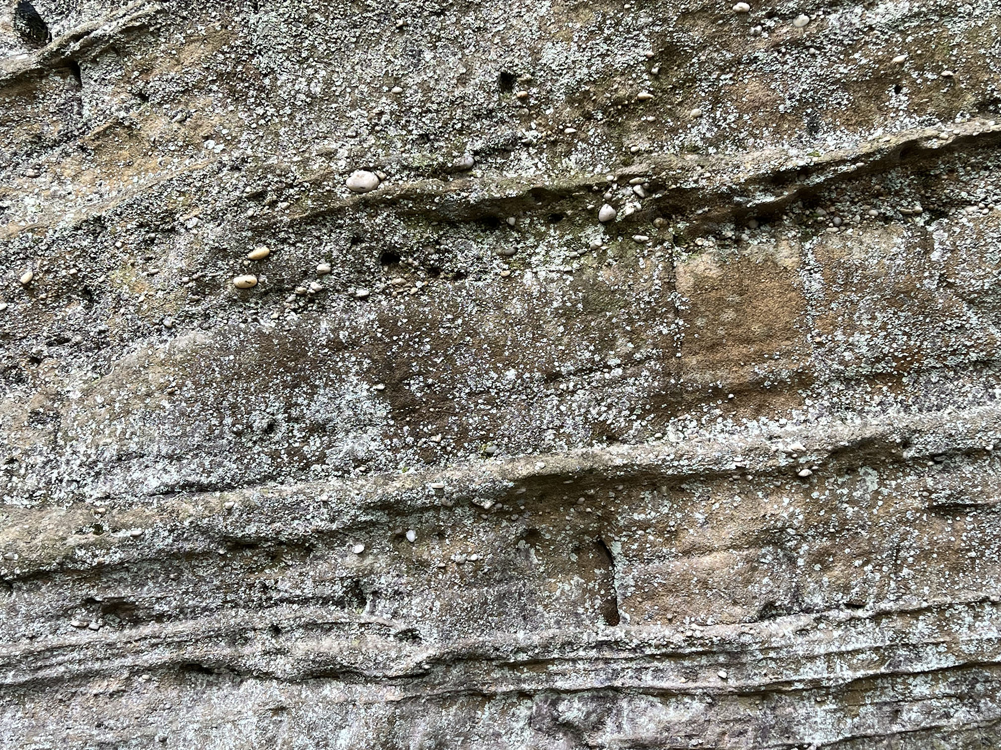
Thick-bedded sandy conglomerate beds in the Sharon Conglomerate speckled with blue lichen. |

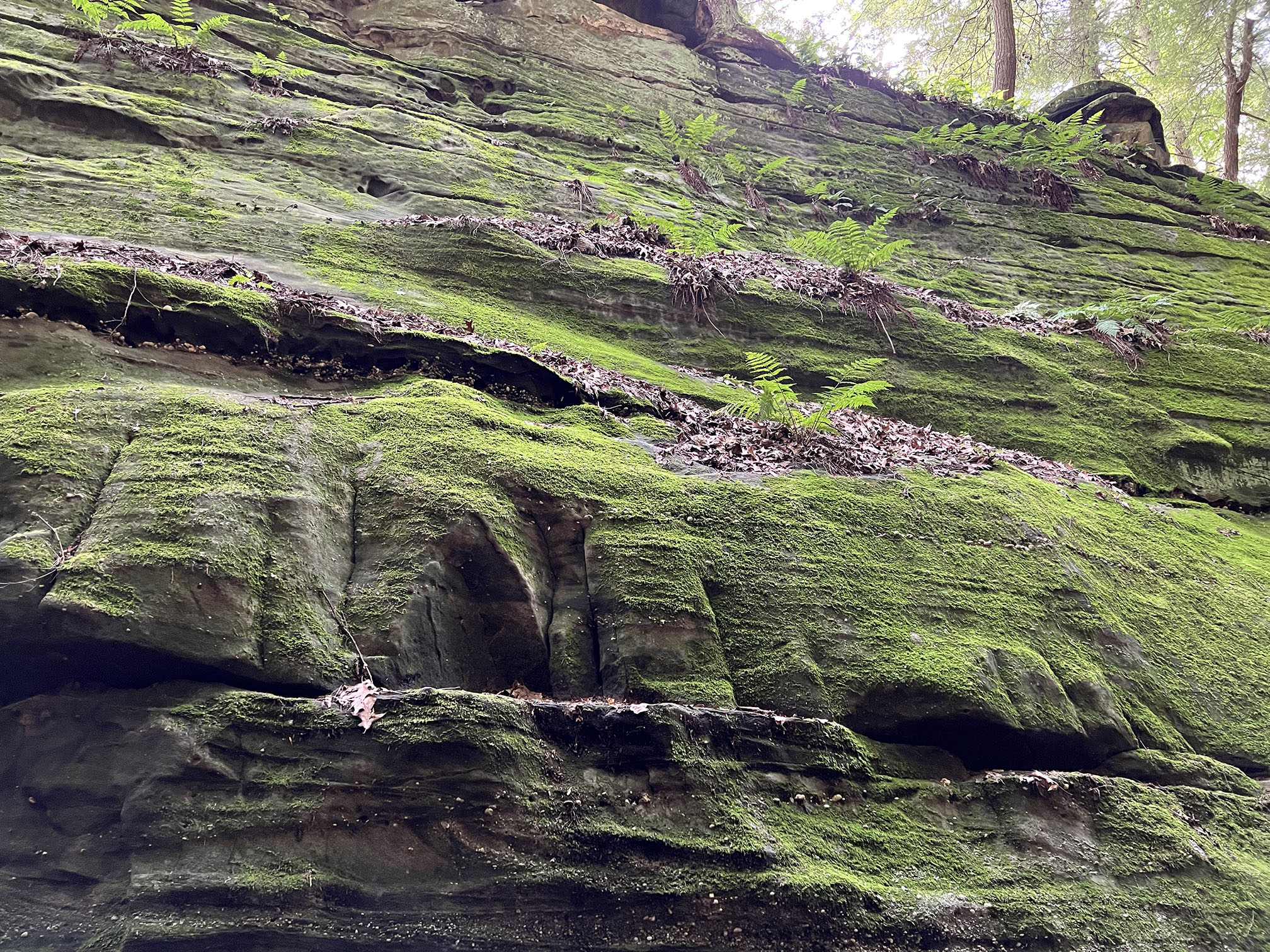
Mosses and ferns clinging to weathered surfaces of the Sharon conglomerate.
|

Limonite (brown) and hematite (red) stain the surface of the white quartz-pebble conglomerate. |
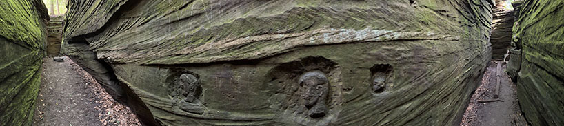
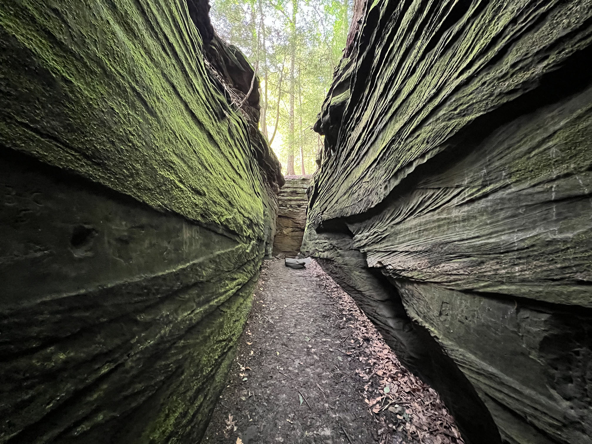
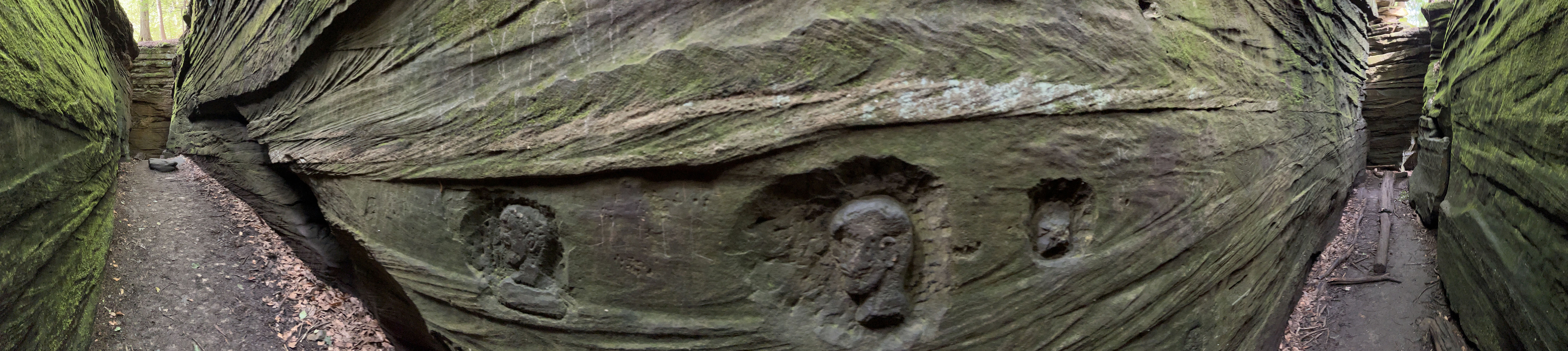
Panoramic view of the chasm near Ice Box Cave along the Ledges Trail. This view shows some old carvings cut into the rock surface representing heads of Native Americans, one with a Mohawk hair style. The carving are of unknown origin, but they were carved with metal tools, so they probably aren't that old. |
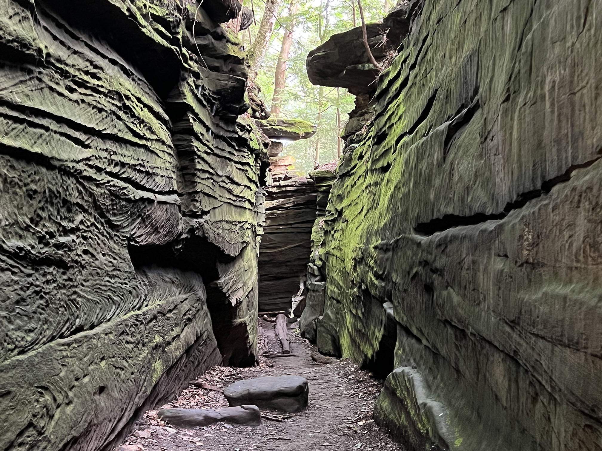
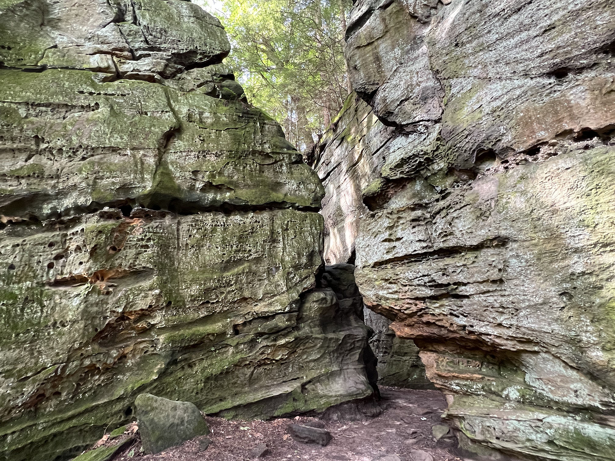
 Another narrow entrance connects the chasm area to the Ledges Trail. Another narrow entrance connects the chasm area to the Ledges Trail. |
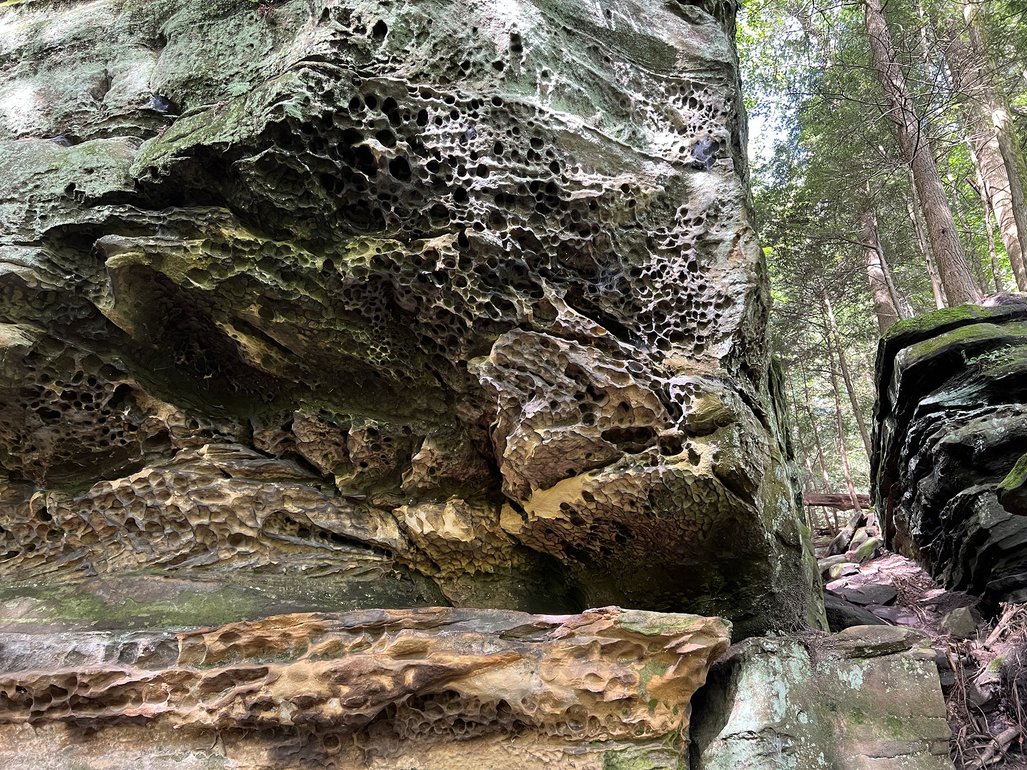
Tafoni-style weathering in the massive sandstone beds of the Sharon Conglomerate. |
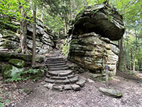
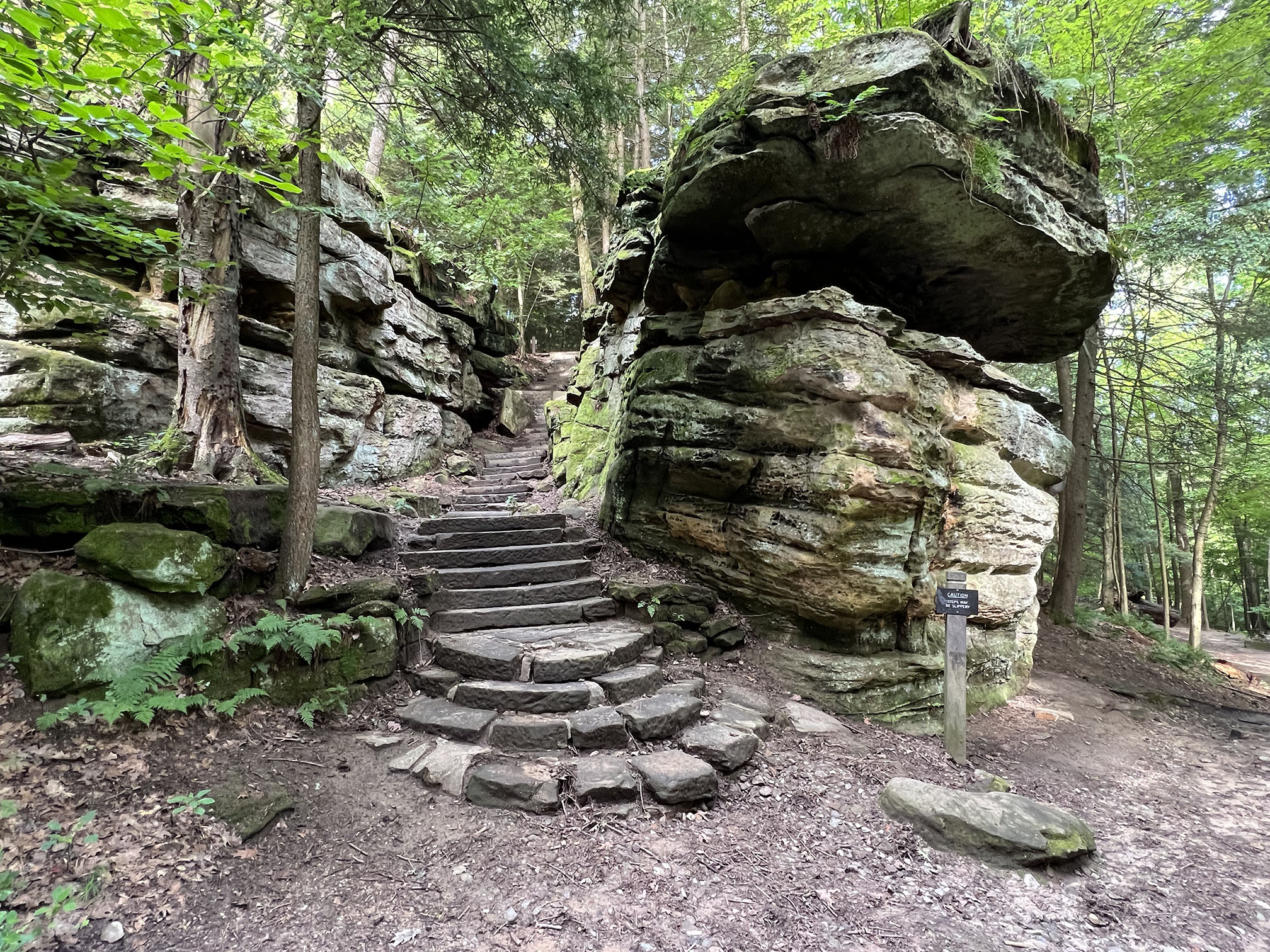
Steps near the north end of The Ledges Trails at Virginia Kendall Park area. |

Path through a grove of hemlock trees along the Ledges Trail. |
Trail through the hardwood forest along the top west side near the Ledges Overlook. |
Rock crevasse along the trail west side of The Ledges near the Overlook. |
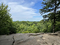
View looking west from the Overlook at the south end of The Ledges area. |
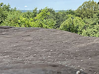
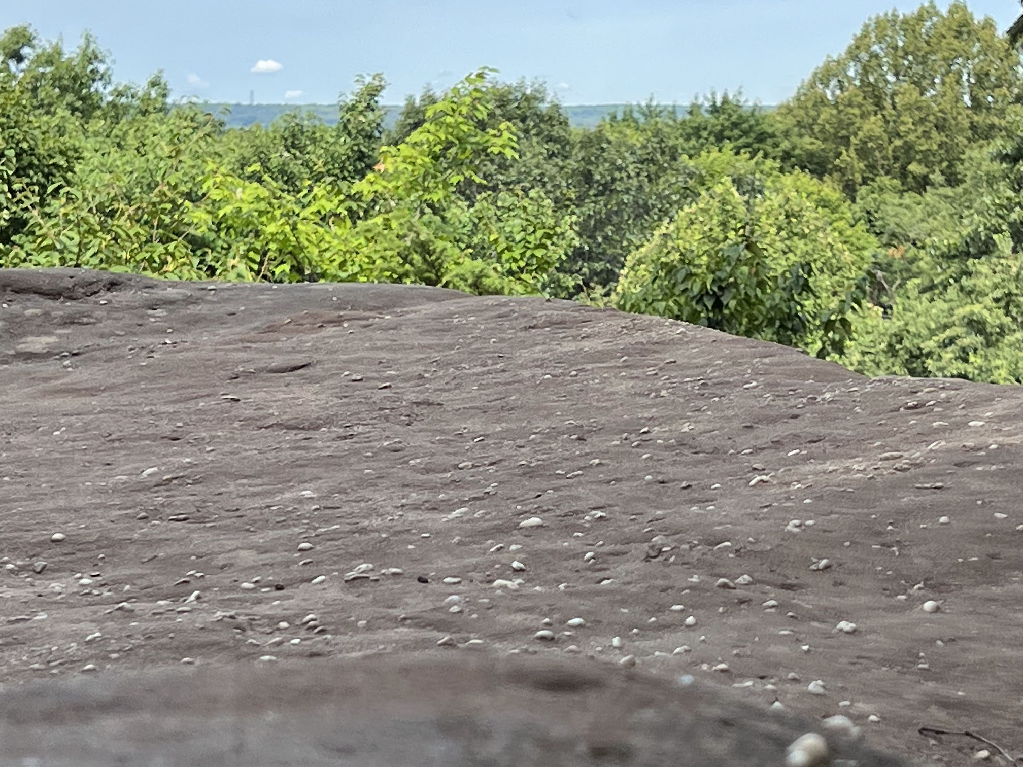
Quartz pebbles in sandstone the Sharon Conglomerate at the Overlook at The Ledges. |
|
Ohio & Erie Canal (and Tow Path)
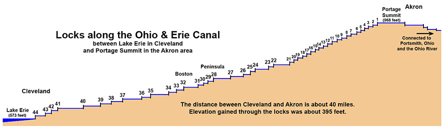
The Cuyahoga River Valley played an important roll in the westward expansion of the American empire into the Ohio Valley region. At its peak there were 44 locks along the Ohio & Erie Canal, moving boats on Lake Erie (elevation 573 feet) to the Portage Summit (968 feet) near Akron, Ohio. The construction Erie Canal (between the Hudson River and Lake Erie began in 1817. The construction of Ohio & Erie Canal (connecting Lake Erie to the Ohio River) was underway in 1825. The section connecting Cleveland and Akron opened in 1827.
See History of the Ohio & Erie Canal (NPS).
Between 1828 and 1836 traffic increased on the Ohio & Erie Canal. As a result the town of Boston (Ohio) thrived and grew into a village with numerous businesses including a hotel, tavern, two general stores, a blacksmith shop, boatyard, brickyard, lumber mill, a factory, and a warehouse.
The Cuyahoga Valley Line (railroad) began operation in 1880, connecting Cleveland to Canton, Ohio (via the Cuyahoga River Valley).
(The Cuyahoga Valley Scenic Railroad is now managed in cooperations with Cuyahoga Valley National Park).
As the railroad and road travel began to supplant travel by boat, canal usage began to wane, and finally a massive flood in 1913 damaged the canal, making it too expensive to repair. The Tow Path for the Canal and many of the locks are now historically preserved in the national park.
See maps of the Canal and Tow Path, the Railroad line, and hiking/biking trails through the Cuyahoga River Valley.
* Station Road to Boston
*Boston to Everett
Below is a series of photos along the Tow Path between Lock 32 in Boston and Lock 29 in Peninsula.
|
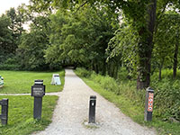
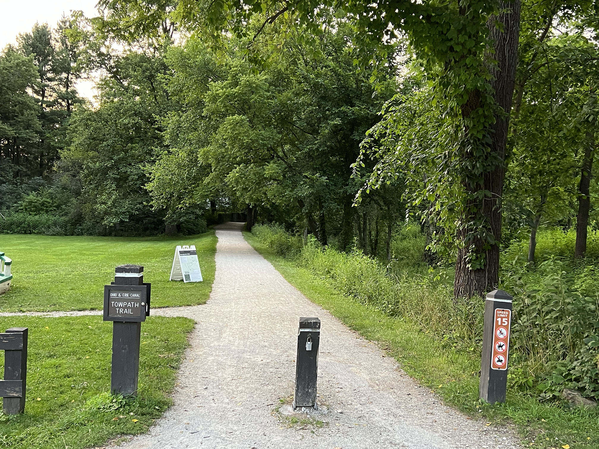
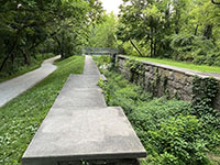
Tow Path Trail in Boston Mills near the Visitor Center. |
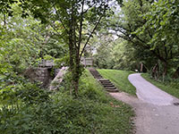
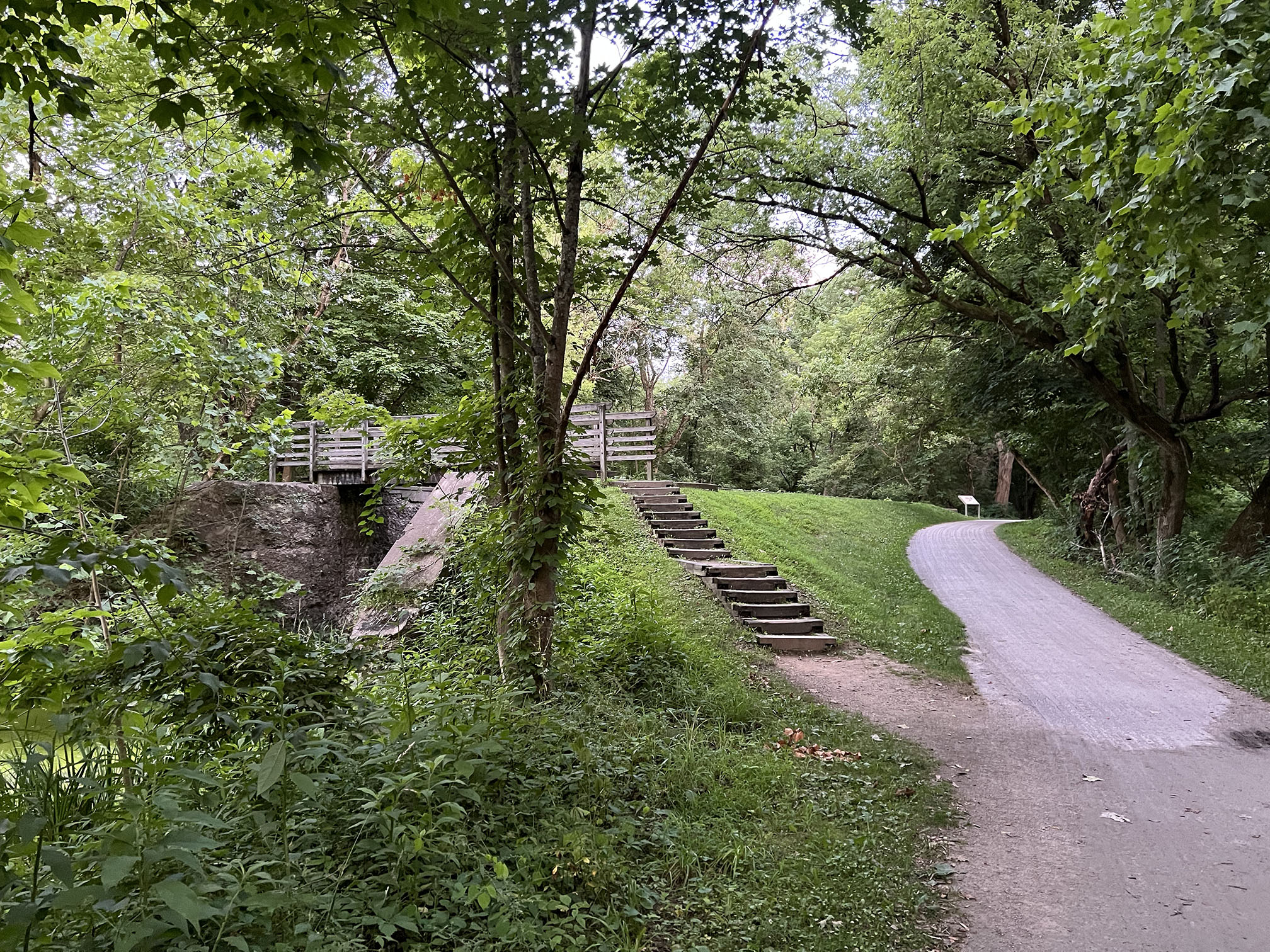
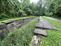
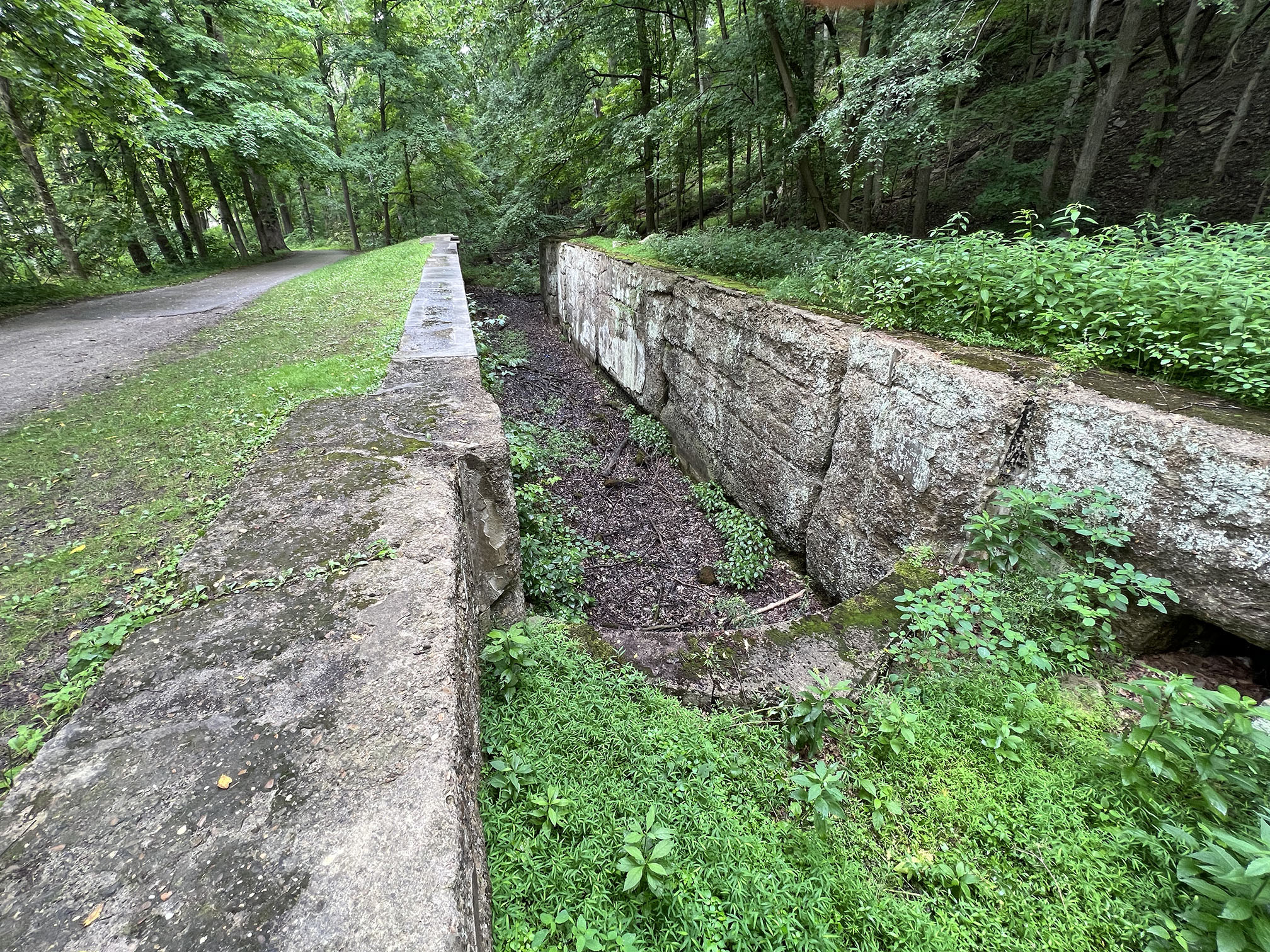
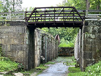
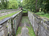
Lock 32 along the Tow Path south of Boston Mills. |
Lock 32 along the Tow Path south of Boston Mills. |

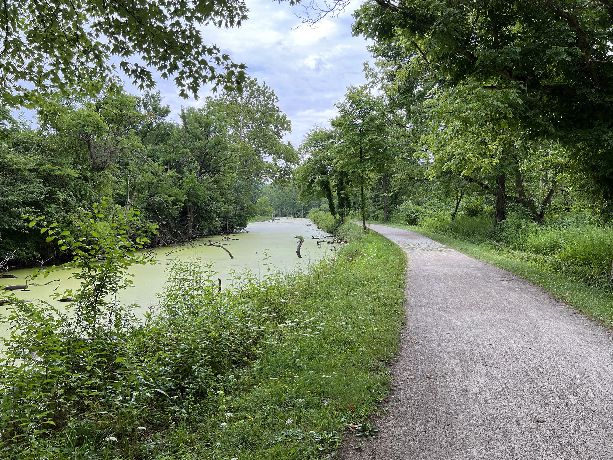
Tow Path near Stumpy Basin north of Boston Mills. |
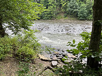
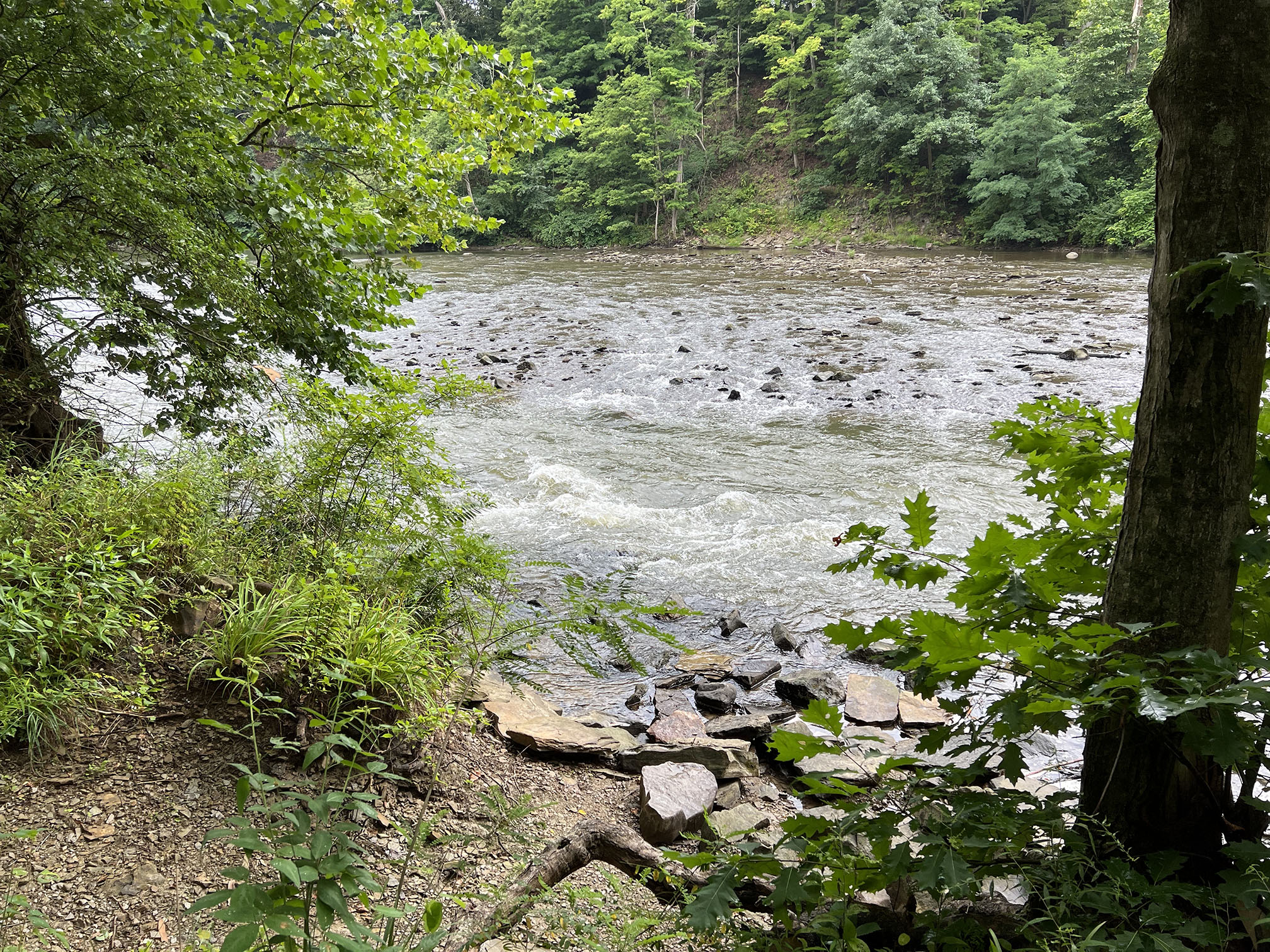
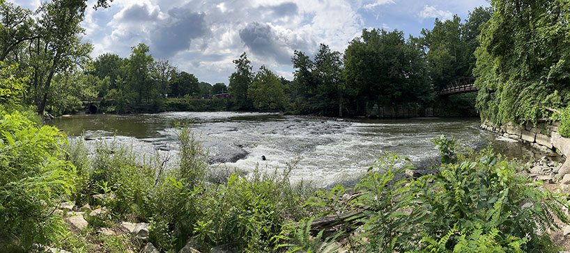
Rapids in the Cuyahoga River between Locks 29 and 30.
|
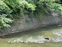
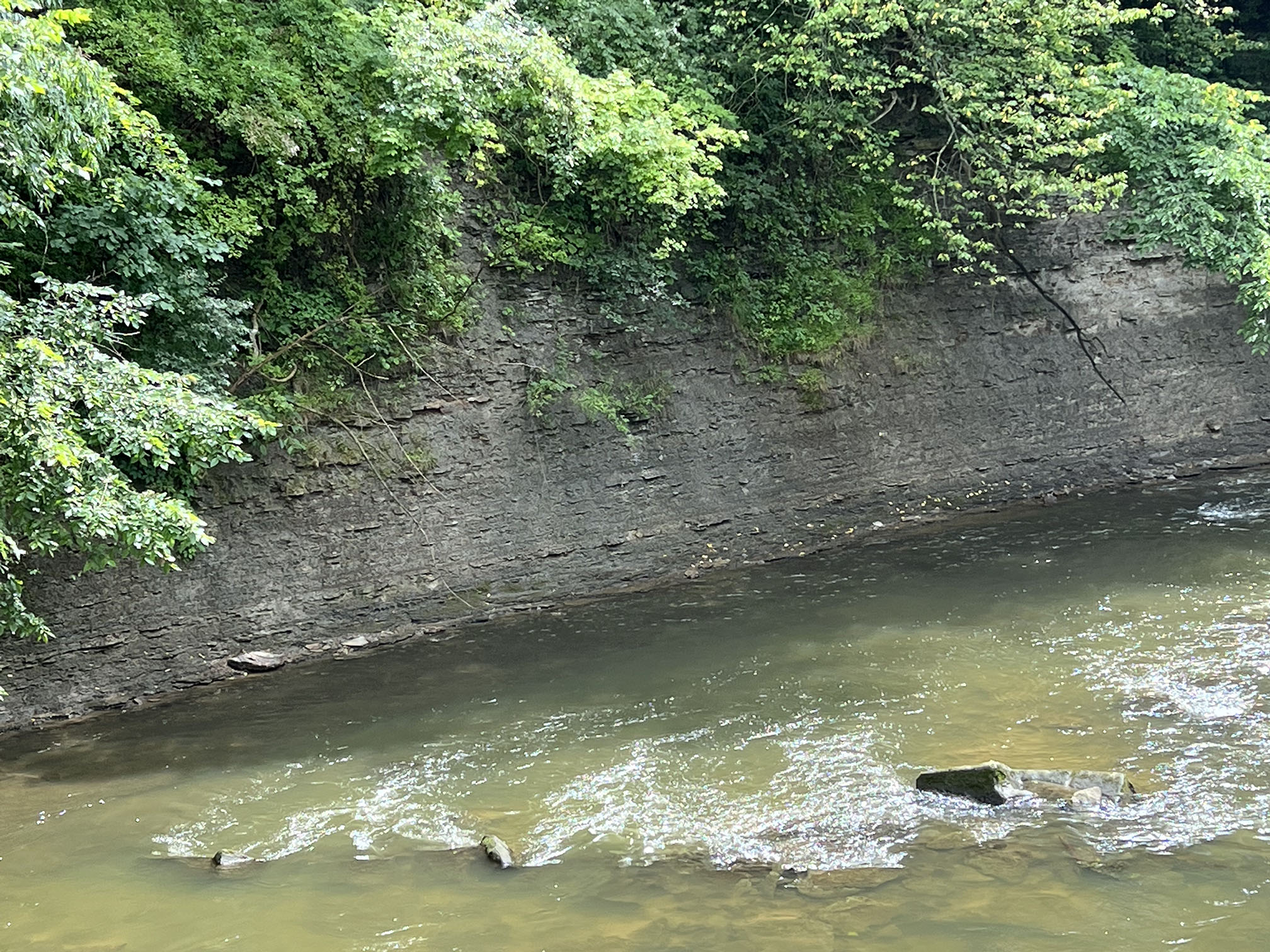
Outcrop of the Cleveland Shale in a river cutbank near Lock 29 in Peninsula. |
Lock 29 in Peninsula, Ohio where a canal bridge crossed the Cuyahoga River. |
View from the pedestrian bridge at Lock 29 in Peninsula, Ohio. |
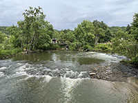
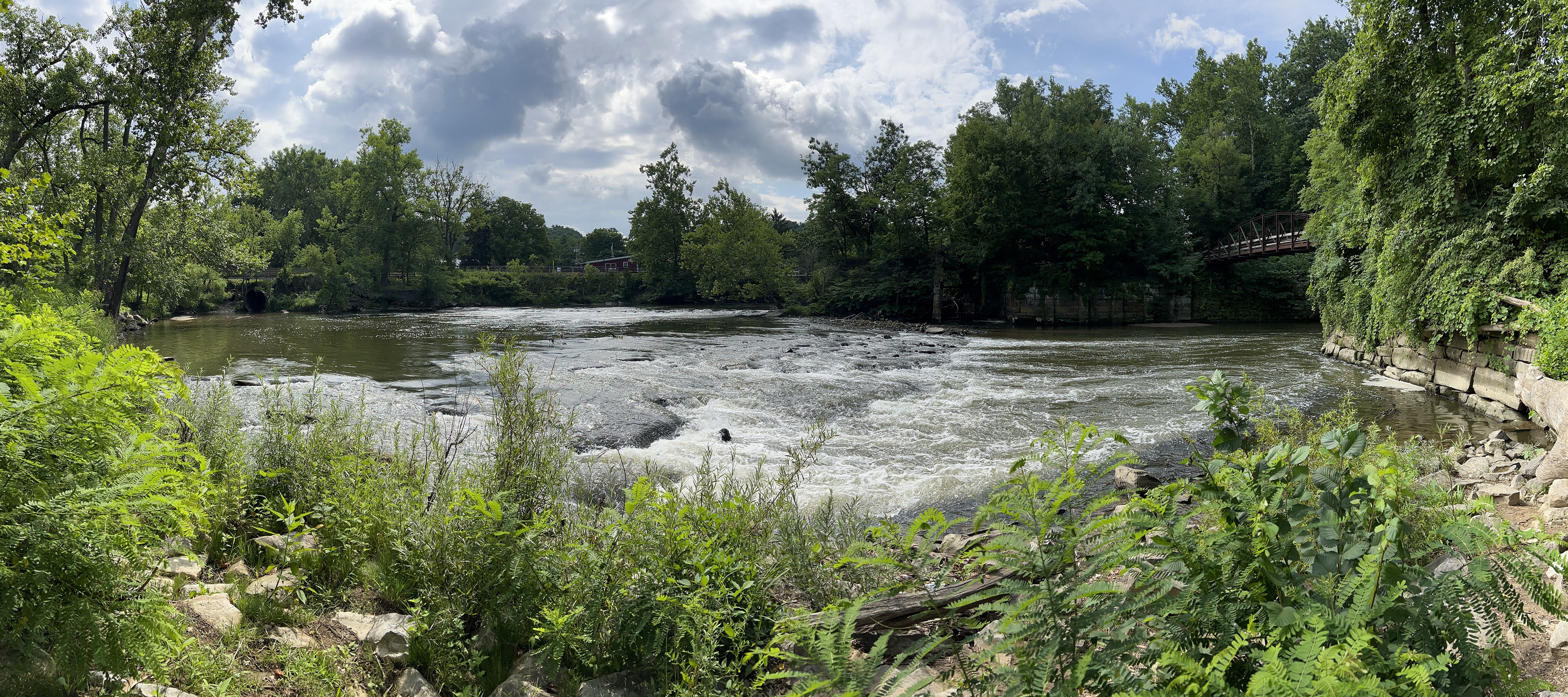
View of rapids upstream of Lock 29 in the town of Peninsula. |
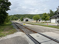
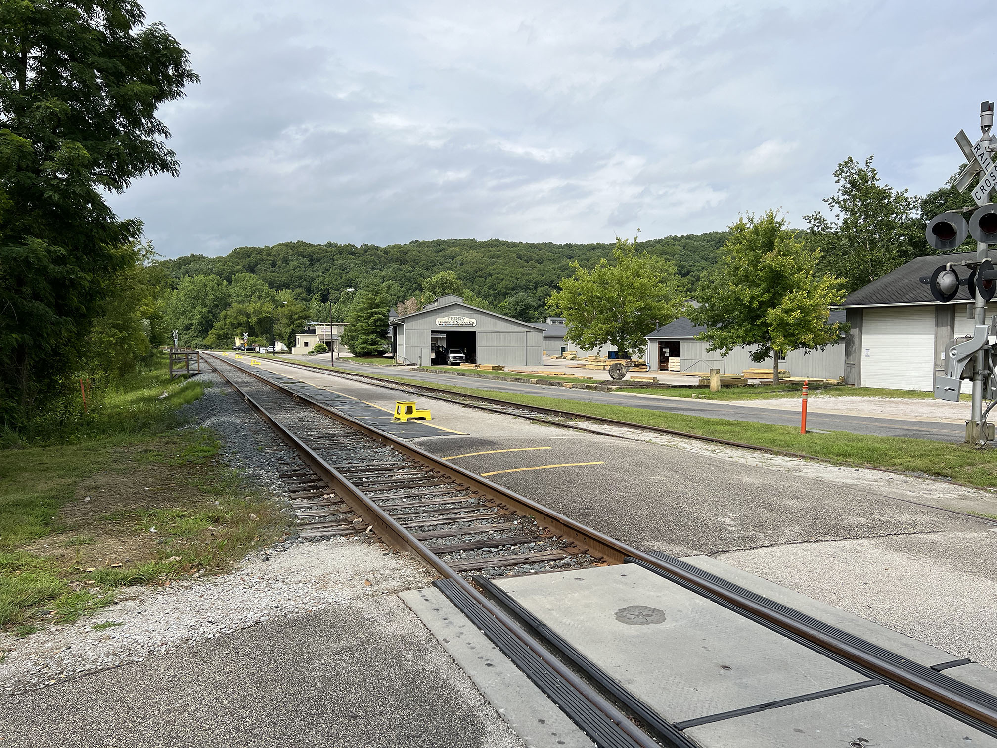
The Cuyahoga Valley Scenic Railroad line runs through Peninsula. |
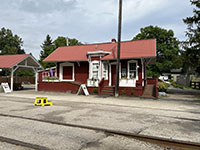
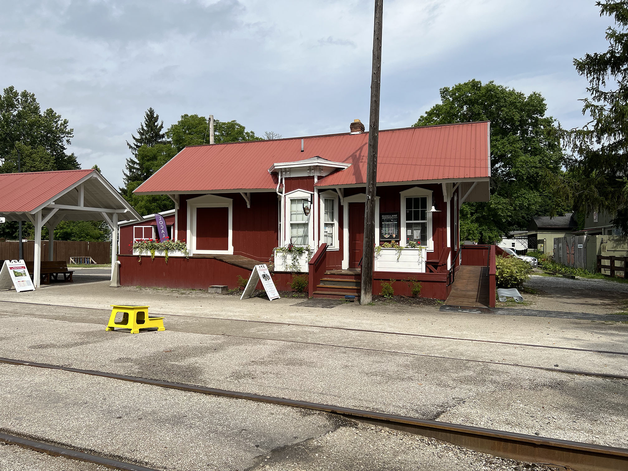
The Cuyahoga Valley Scenic Railroad Depot in Peninsula, Ohio |
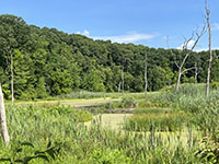
Oxbow marsh fills an abandoned Cuyahoga River meander in Peninsula. |
Panoramic view from near the rapids near the river bend in Peninsula. Lock 29 is on the right; Downtown Peninsula is to the center above the river bank. |
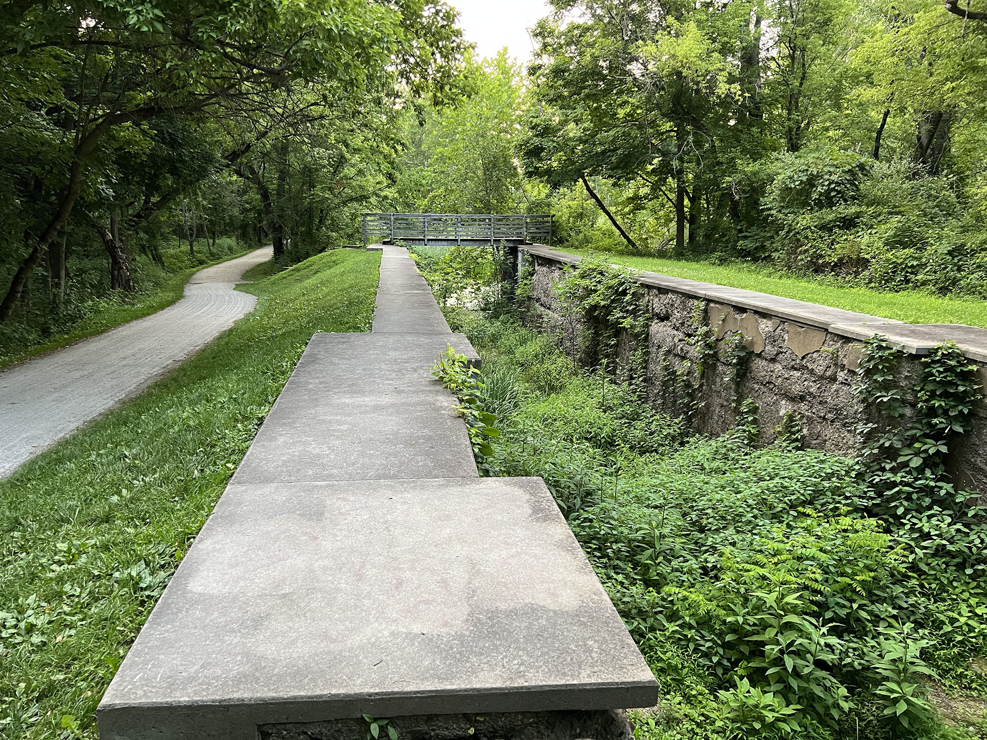
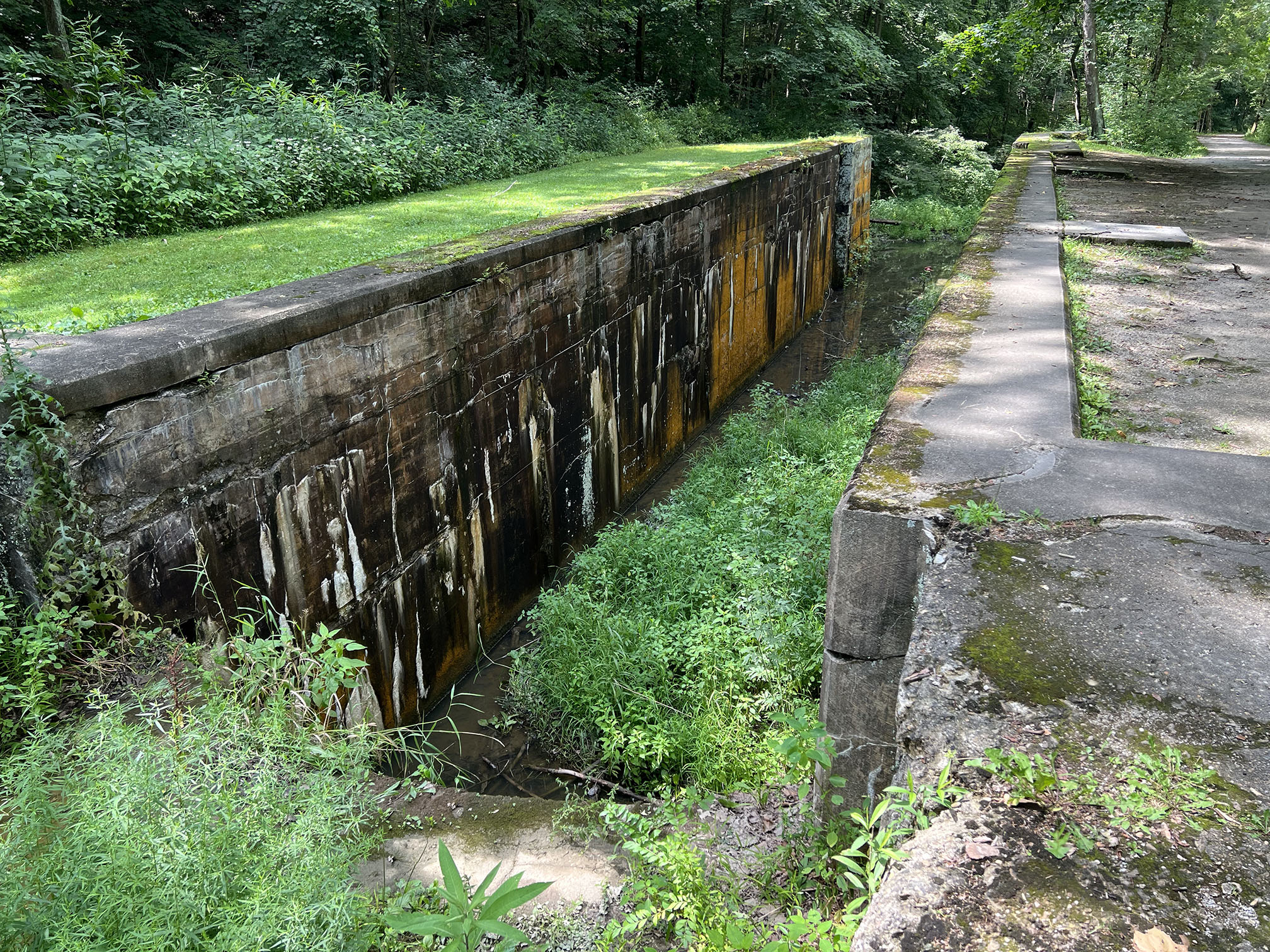
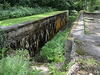 Lock 28 south of Peninsula was one of the highest locks along the canal.
 |
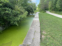 View of Lock 26 and the bike trail along the historic Tow Path. View of Lock 26 and the bike trail along the historic Tow Path. |
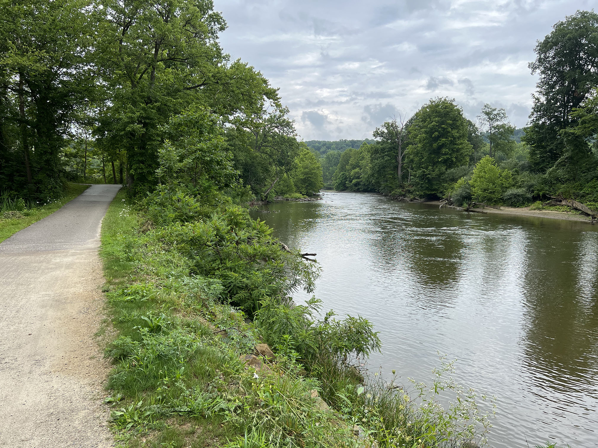
 View of a bend in the Cuyahoga River along the Tow Path (bike trail). View of a bend in the Cuyahoga River along the Tow Path (bike trail). |
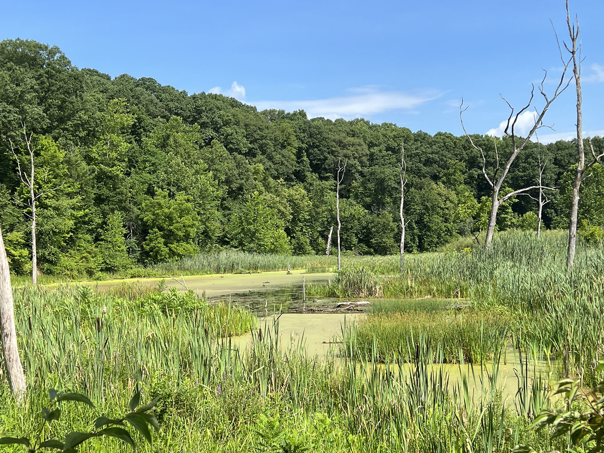
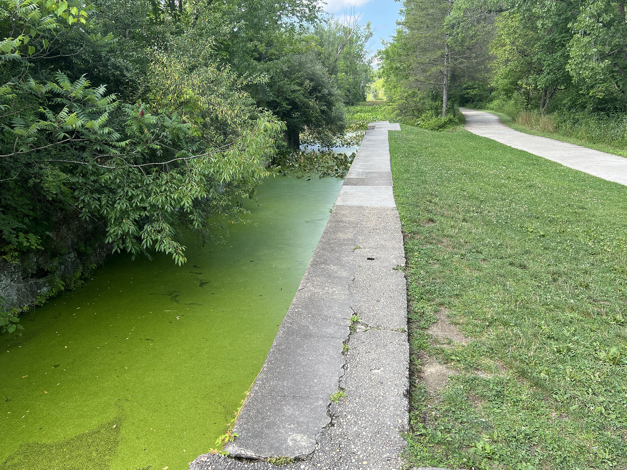
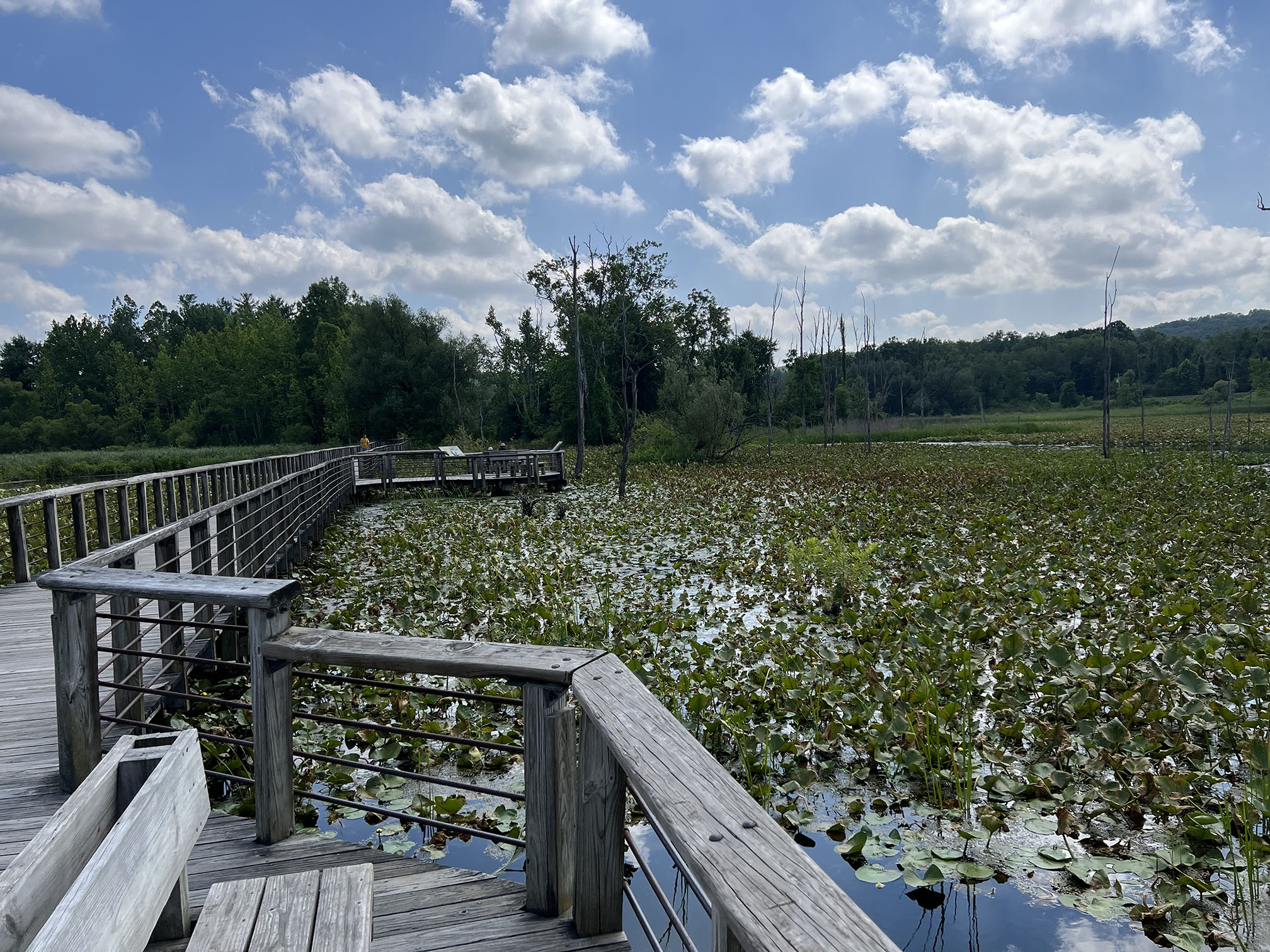
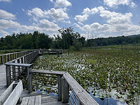 Beaver Marsh is another modified oxbow along a Cuyahoga River meander. Beaver Marsh is another modified oxbow along a Cuyahoga River meander. |
|
Tinkers Creek Gorge and Bridal Veil Falls
Tinkers Creek Gorge is within the Bedford Reservation of the Cleveland MetroParks. The Cleveland MetroParks manages park lands within the borders of the greater Cuyahoga Valley National Park. Tinkers Creek is the largest tributary of the Cuyahoga River and Tinkers Creek Gorge is designated a National Natural Landmark. Bridal Veil Falls is on Deerlick Creek (a tributary of Tinkers Creek) and is a popular hiking destination. |

Tinkers Creek Gorge from Scenic Overlook. Designated a National Natural Landmark.
|

Bridal Veil Falls in Tinkers Creek Gorge forms on ledges of the Berea Sandstone.
|
Bridal Veil Falls in Tinkers Creek Gorge forms on ledges of the Berea Sandstone.
|
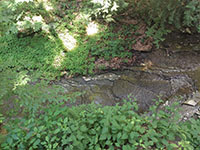
Bedford Shale is exposed in the creek bed below Bridal Veil Falls.
|
|
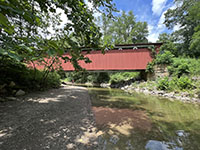
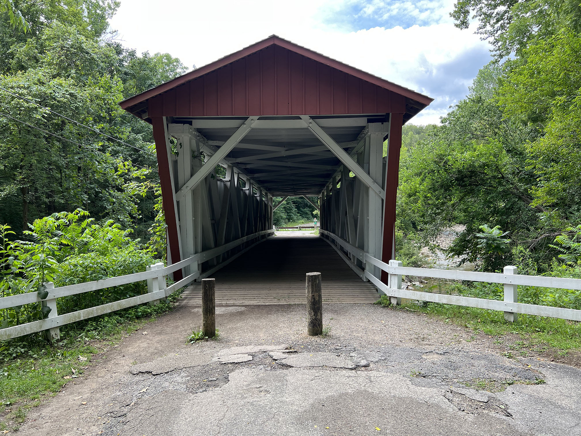
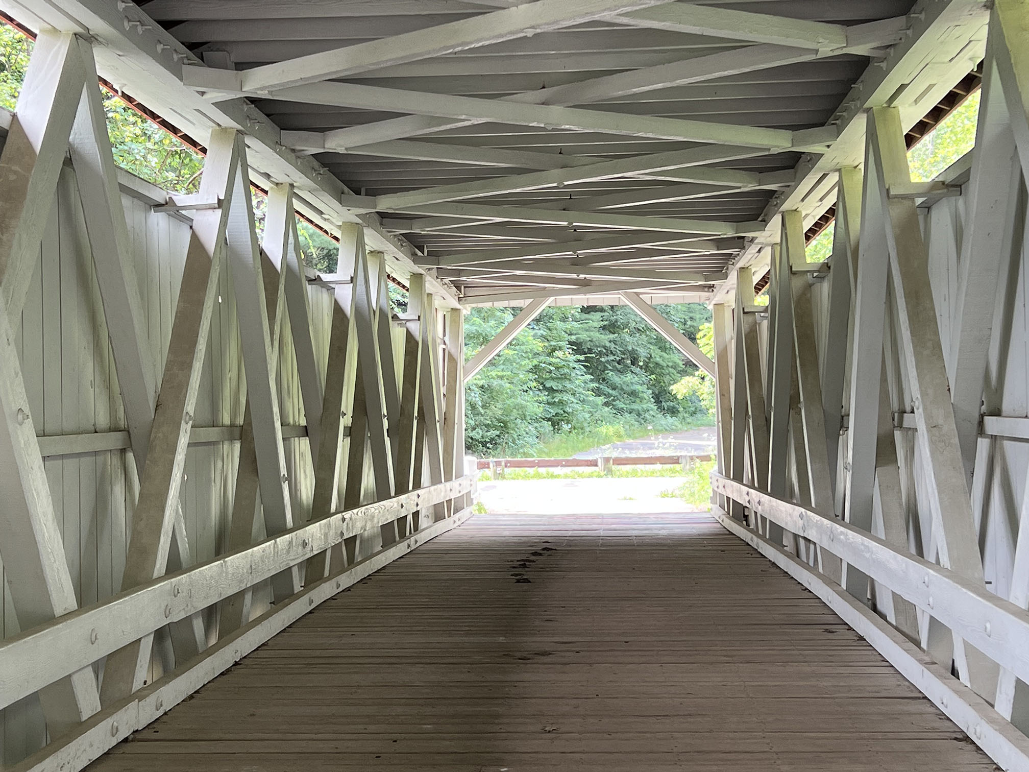
Everett Covered Bridge Over Furnace Run
The Everett Area (map) is a popular hiking area within the park, with the most notable feature being the restored Everett Covered Bridge over Furnace Run, a tributary of the Cuyahoga River. In the 19th century, Ohio had more than 2,000 covered bridges, but their popularity waned with the construction of more durable iron bridges. The Everett Covered Bridge was damaged in the great flood of 1913, which closed the Ohio & Erie Canal. It was repaired after the flood, but then it was destroyed by a spring flood in 1975. The bridge was reconstructed with historical accuracy and completed in 1986. |
Cuyahoga River Valley - A Landscape In Transition
Humans have had a huge impact on the landscape of the Cuyahoga River Valley: some negative, some positive. To start with, it must be recognized that at the peak of the last ice age (about 15,000 years ago), sterile ice, possibly hundreds to thousand of feet thick covered most of the landscape. South of the massive continental glacier large lakes flooded valleys blocked by the glaciers. As the glaciers retreated, boreal forests dominated by hemlock and spruce developed on the moraines and glacial outwash, and hosted a variety of large ice age mammals (such a mammoths and mastodons). By about 13,000 years ago paleoindians migrated into the region hunting caribou and other large animals) and a probably hunted with the assistance of fire. The exploits of growing paleoindian population probably contributed to the extinction of the large ice age mammal population... along with climate change at the end of the ice age. Hardwood forests eventually replaces the boreal forests, but remnants of the older forest habital remain in shaded canyons and cliff areas.
Prior to the arrival of European explorers and settlers to the Ohio Territory, several groups of Indians had moved through there region (see a NPS website about Native Americans in the Cuyahoga Valley area). Also see information about Hopewell Culture in the Ohio Valley region. Sadly disease and conflict between tribes and troubles initiated from the European explorers, fur traders, and eventually settlers (many of whom were soldiers granted Ohio Territory lands after the Revolutionary War). It was not long after the War of 1812 that most of the native population had vanished from the region.
By 1803, Ohio had been granted statehood. The arrival of the European settlers in the throughout 19th lead to the next wave of environmental calamity as farmers began to cut forests and burn off the landscape to plant crops and build homes, villages, and eventually cities. By the beginning of the 20th century nearly all the forests had already been logged and the land subdivided for agriculture. Factories were being built to support growth of the expanding American empire.
However, it wasn't the construction of the Ohio & Erie Canal or the introduction of the railroad that cause the greatest changes. It was the arrival of the automobile and the mega-industrial complex associated with steel refineries, coal, oil & gas, and the automobile-related industries and associated regional urban development that cause the greatest harm. Construction of Interstate 80 began across the Cuyahoga Valley region in 1956, and Interstate 271 followed in 1964. (Two massive interstate bridges cross the Cuyahoga Valley just south of the Boston Mill Visitor Center.) This gradually lead to the calling of environmental protection and conservation, starting with the Civilian Conservation Corp during the Great Depression Era in the 1930s, then the renewed alarm associated with increasing environmental pollution in the 1960s. The alarm especially happened when...
The Cuyahoga River Caught Fire in 1969!
Can you imagine what the local fire chief through when he received a call that the Cuyahoga River was on fire? When they arrived they saw flames as high as a 5 story building where the foamy organic pollution and trash had caught fire. It was finally put out, but it apparently had caught fire on other occasions including 1868, 1883,1912, 1936, 1941, 1948, and 1952. However, the 1969 fire occurred with national media coverage, and served as a wake-up call to clean up the Cuyahoga River. It helped to initiate the Clean Water Act of 1972, the Great Lakes Water Quality Agreement, and estaphishment of state and federal Environmental Protection Agencies. It is attributed to help inspire the first Earth Day.
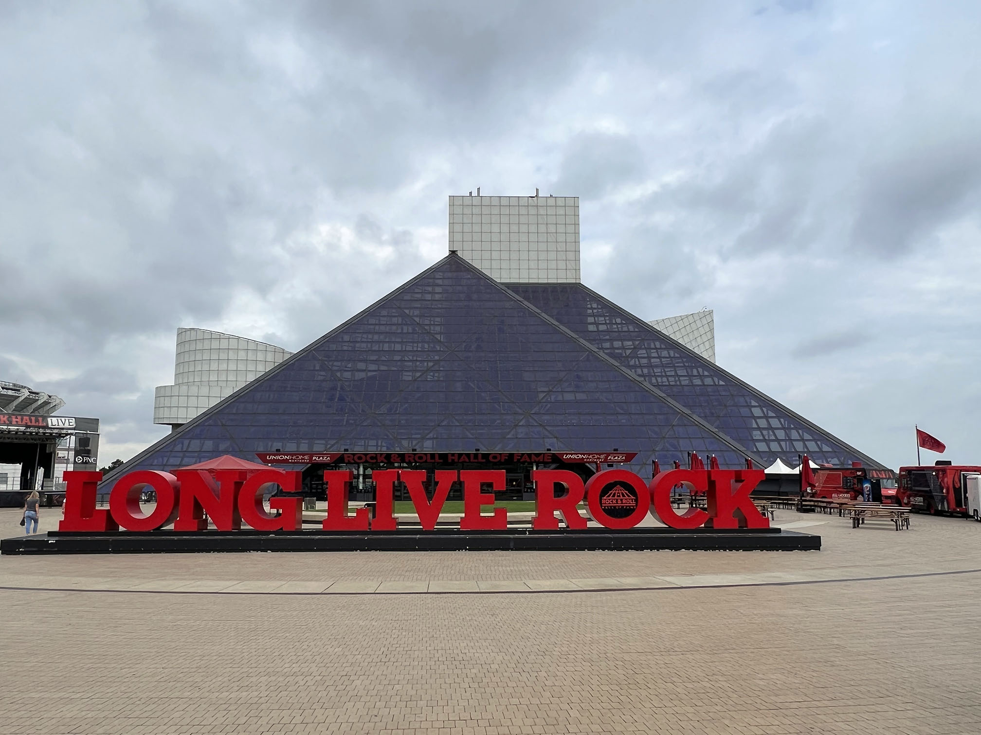
It took decades of disputes and government & community action to finally clean up the river valley and purchase the lands to be contributed to the park as we see it today. The Cuyahoga River as designated an American Heritage River in 1998. Although the river is much less polluted, more work needs to be done to deal with sewage and urban runoff from up-country communities. Second-growth forests have regrown. Old buildings and homes are being purchased removed to allow revegetation and watershed protection. The Cuyahoga Valley National Park continues to expand. So has its popularity as a scenic landscape viewing and recreational destination, along with other notable tourist destinations in the region (including the Cleveland Museum of Natural History and the Rock & Roll Hall of Fame). |
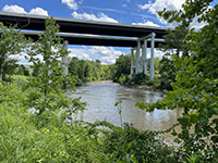
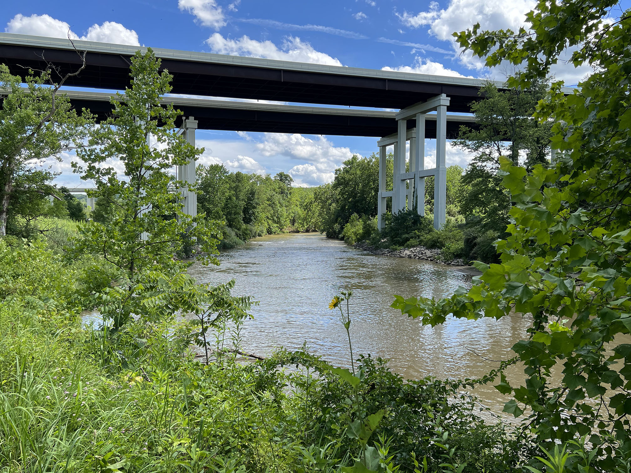
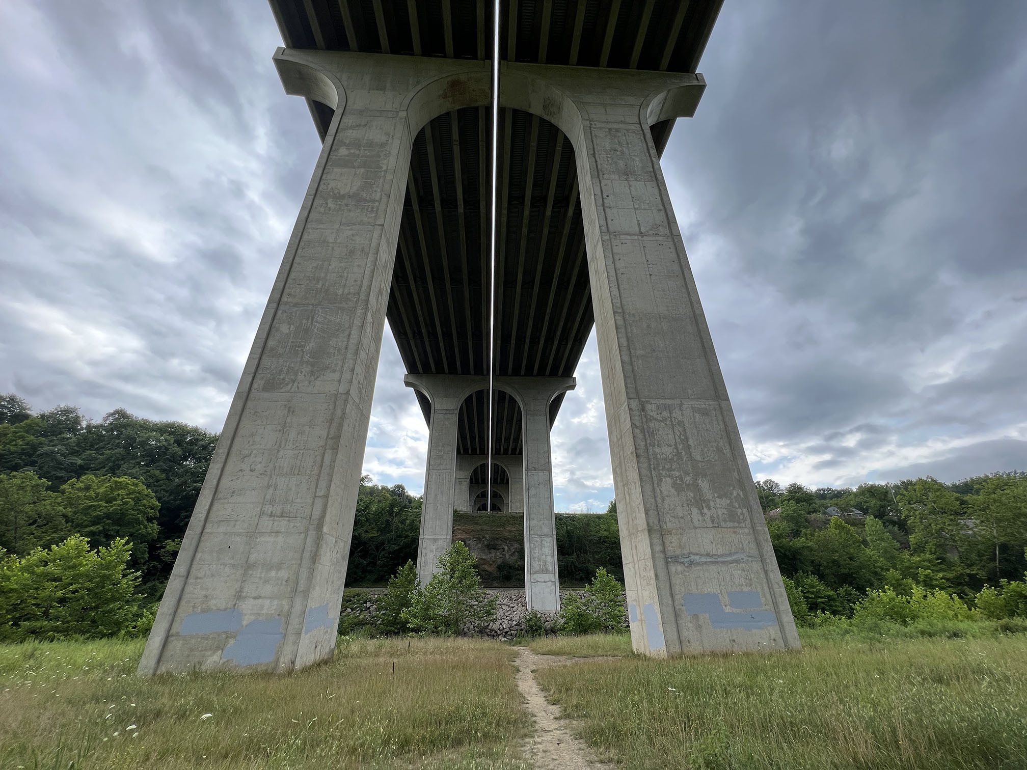
Interstate 80 bridges over the Cuyahoga River near Boston Mills.
|
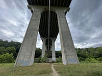 Interstate 271 bridges over the Cuyahoga River near Boston Mills. Interstate 271 bridges over the Cuyahoga River near Boston Mills.
|
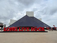
The Rock & Roll Hall of Fame
in Cleveland is located near the mouth of the Cuyahoga River on Lake Erie. |
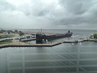
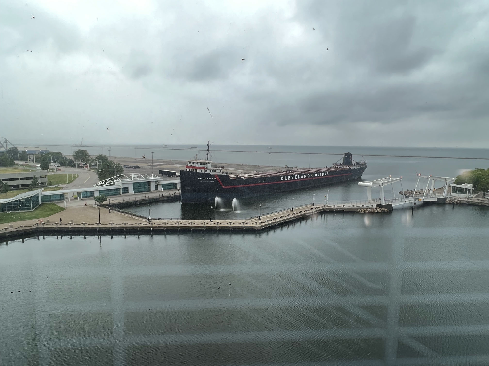
View of Lake Erie near the mouth of the Cuyahoga River from a window in the Rock & Roll Hall of Fame. |
|
Selected Resources
A more detailed guide to the geology and natural resources of the park is below:
Thornberry-Ehrlich TL. 2020. Cuyahoga Valley National Park: Geologic resources inventory report. Natural Resource Report. NPS/NRSS/GRD/NRR—2020/2154. National Park Service. Fort Collins, Colorado
Glacial Map of Ohio: Ohio Division of Geological Survey, 2005, Glacial map of Ohio: Ohio Department of Natural Resources, Division of Geological Survey, page-size map with text, 2. p, scale 1:2000,000.
Bedrock Geologic Map of Ohio:
Ohio Division of Geological Survey, 2006, Ohio Department of Natural Resources, Division of Geological Survey Map BG-1, generalized page-size map with text, 2. p, scale 1:2000,000.
These maps below show the bedrock geology of the Cuyahoga River Valley in the vicinity of the park.
Larsen, G.E. and Slucher, E.R., 1996, Reconnaissance bedrock geology of the Peninsula, Ohio, quadrangle, Ohio Division of Geological Survey, Digital Map Series BG-2 Peninsula, 1:24,000.
Larsen, G.E. and Slucher, E.R., 1996, Reconnaissance bedrock geology of the Northfield, Ohio, quadrangle, Ohio Division of Geological Survey, Digital Map Series BG-2 Northfield, 1:24,000.
|
Click here to see more geology tours of National Parks
|
This page is <https://gotbooks.miracosta.edu/gonp/cuva/>
Last modified 8/4/2023.
|
|